Like stepping into a scene from an old Western, you’ll find towering saguaros rising above sun-baked washes and rugged mountains around Tucson. Saguaro National Park has two separate districts, one west and one east of the city, so a little planning makes a big difference. You can explore scenic drives, take short desert walks, tackle a summit hike, watch the sunset, or spend more time in the Rincon Mountain wilderness.
Quick Answer
For an easy first visit to Saguaro National Park, choose one district for the day. Saguaro West is ideal for dense cactus scenery, Valley View, and Signal Hill, while Saguaro East offers the paved Cactus Forest Drive and access to longer wilderness trails. Winter and spring provide the most comfortable hiking weather.
Key Takeaways
- The Tucson Mountain District, or Saguaro West, and Rincon Mountain District, or Saguaro East, are about 30 miles and roughly 45–60 minutes apart.
- Winter offers mild hiking weather, while spring brings wildflowers and cactus blooms. Summer heat can exceed 105°F.
- A seven-day entrance pass covers both districts. The park uses cashless payment for entrance fees.
- Saguaro West has the 6-mile gravel Bajada Loop Drive; Saguaro East has the 8-mile paved Cactus Forest Drive.
- There are no restaurants, lodging, car campgrounds, or RV campgrounds inside the national park.
At a Glance
| Time Required | 4–8 hours for one district; 1–2 days for a more relaxed visit to both |
| Difficulty | Easy scenic drives and paved walks to strenuous mountain hikes |
| Tools Needed | Water, sun protection, sturdy footwear, snacks, park map, and offline navigation |
| Cost | $25 private vehicle, $20 motorcycle, or $15 per person entering without a vehicle; standard passes are valid for 7 days and both districts |
Quick Tips for Visiting Saguaro National Park
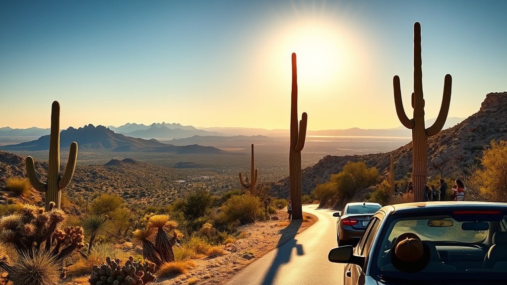
For most visitors, the first decision is whether to explore Saguaro West or Saguaro East. The West District is a strong choice for a first visit if you want dense cactus scenery, a gravel scenic drive, short walks, petroglyphs, and access to Wasson Peak. The East District gives you a paved scenic loop, short nature trails, picnic areas, and access to much larger mountain wilderness.
Before leaving Tucson, check the National Park Service current conditions page. Road work, storms, heat, fire conditions, and maintenance can affect your plans. Bring your own food and plenty of water because there are no restaurants, concession stands, snack machines, or other food services inside either district.
Pro Tip: If you have only one day, spend it in one district instead of rushing between both. The two districts are about 30 miles apart, and the drive commonly takes 45–60 minutes before you add traffic, stops, or time finding parking.
When to Go: Best Seasons and Weather to Expect
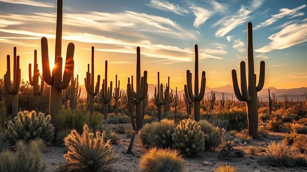
Winter and spring are the easiest seasons for long walks and hikes. According to the National Park Service, winter days in the Tucson area average around 65°F, while nights average around 40°F. The park’s busiest period is generally November through March, so comfortable weather can also mean busier trailheads and scenic pullouts.
Wildflowers and smaller cacti can begin blooming in late winter and early spring. The park reports that its famous saguaros generally begin flowering in late April, with fruit developing as summer approaches. Exact bloom dates vary from year to year with rainfall and temperature, so avoid planning a trip around a guaranteed peak date.
| Season | What to Expect | Best For |
|---|---|---|
| Winter | Mild days, cool mornings and nights, busiest visitor season | Long hikes and scenic drives |
| Spring | Warmer weather, wildflowers, cactus blooms, increasing heat | Flowers, photography, morning hikes |
| Summer | Extreme heat that can exceed 105°F | Very early or late short visits |
| Monsoon season | June 15–September 30; afternoon thunderstorms and flash-flood risk | Visitors prepared to change plans around storms |
| Fall | Heat gradually eases and mornings become more comfortable | Scenic drives and shorter hikes |
Warning: Summer heat can become dangerous quickly. During hot, dry conditions, the National Park Service recommends drinking roughly one quart of water per hour of hiking. During monsoon season, avoid washes and canyons when storms threaten. Never enter flowing floodwater.
How to Get There and Park Layout
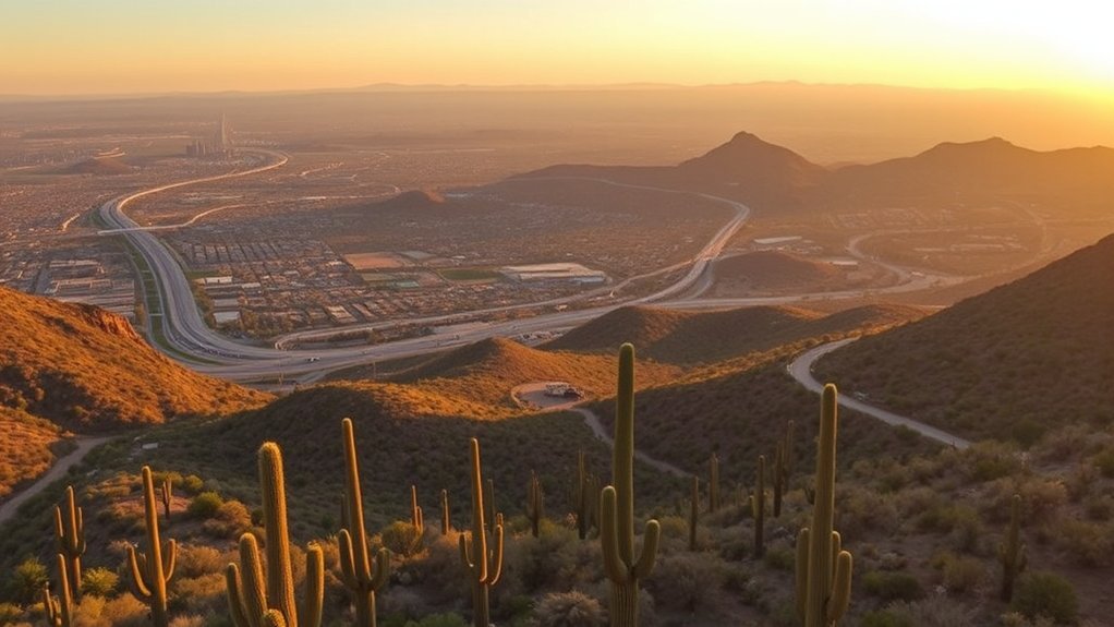
Saguaro National Park surrounds Tucson rather than sitting in one continuous block. The Tucson Mountain District is west of the city, while the Rincon Mountain District is east. The National Park Service estimates that the districts are about 30 miles, or roughly 45–60 minutes of driving, apart.
| Feature | Saguaro West | Saguaro East |
|---|---|---|
| Main scenic drive | Bajada Loop Drive | Cactus Forest Drive |
| Road | About 6 miles, mostly gravel | 8 miles, paved |
| Good first stops | Valley View, Signal Hill, Desert Discovery | Freeman Homestead, Mica View, Javelina Rocks |
| Best fit | Dense cactus scenery and shorter sightseeing stops | Paved touring and longer mountain or wilderness hiking |
If you approach Saguaro West through Gates Pass from central Tucson, remember that the National Park Service notes a 12,000-pound vehicle weight limit on that route and does not recommend vehicles over 25 feet. Larger vehicles should use another approach.
Entrance Fees, Passes, and Visitor Centers
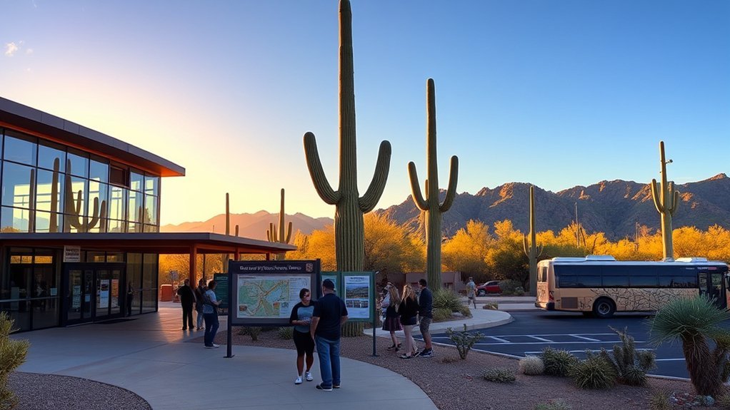
Current standard entrance fees are $25 per private vehicle, $20 per motorcycle, or $15 per person for visitors entering on foot or bicycle who are 16 or older. Standard admission is valid for seven days and includes both districts. An America the Beautiful pass can also cover park admission when applicable. Check the official NPS fees page before your trip because federal pass prices and policies can change.
Saguaro National Park is cashless for entrance-fee payments. Credit or debit cards can be used at in-person fee locations and automated fee machines.
The Red Hills Visitor Center serves Saguaro West, while the Rincon Mountain Visitor Center serves Saguaro East. Current NPS operating information lists visitor-center hours as 9 AM–5 PM from October 1 through May 31 and 8 AM–4 PM from June 1 through September 30. Confirm the day’s status before arriving because special closures and construction can change access.
Both visitor centers are useful for maps, trail information, water, restrooms, ranger advice, and current conditions. There are no restaurants or concession stands inside the park, so bring food before entering.
One-Day Itinerary: Top Stops to See
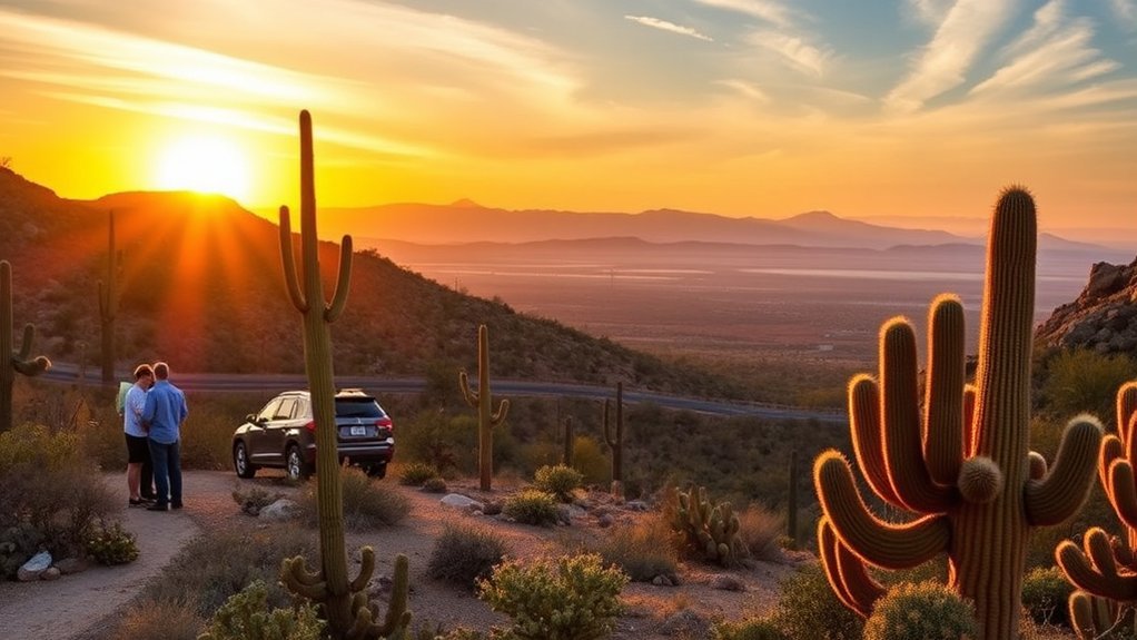
You can technically visit both districts in one long day, but you will spend a significant part of that day crossing Tucson. A better plan is to choose the district that matches your interests and explore it without rushing.
Morning Hike Highlights
For a Saguaro West day: begin at Red Hills Visitor Center, then drive toward the Bajada Loop. Walk the Valley View Overlook Trail, an easy 0.8-mile round trip with broad views across Avra Valley. Continue to Signal Hill for its short, roughly 0.5-mile petroglyph trail. More than 200 prehistoric Native American petroglyphs are found on the hill.
For an easier paved walk, add the Desert Discovery Trail. If you want a serious hike instead of several short stops, devote much of the day to Wasson Peak. Common routes total about 8 miles and involve roughly 1,700 feet of climbing, so it should not be treated as a quick add-on.
For a Saguaro East day: start near Rincon Mountain Visitor Center and enter the Cactus Forest Drive. The Freeman Homestead Trail provides an approximately 1-mile walk into the desert and explores the area’s homesteading history. You can also choose short stops near Mica View or the Desert Ecology Trail before continuing around the scenic loop.
- Desert Discovery Trail: short, paved and family-friendly in Saguaro West
- Valley View Overlook: 0.8-mile round trip in Saguaro West
- Signal Hill Petroglyph Trail: about 0.5 mile in Saguaro West
- Freeman Homestead Trail: approximately 1 mile in Saguaro East
- Wasson Peak: strenuous full or half-day objective in Saguaro West
Afternoon Scenic Drives
In Saguaro West, continue around the Bajada Loop Drive. This roughly 6-mile route is mostly graded gravel and connects scenic pullouts, picnic areas, and trailheads. Under normal conditions, high-clearance or four-wheel drive is not required, but check current road conditions after heavy rain.
In Saguaro East, spend the afternoon on the 8-mile paved Cactus Forest Drive. The road is narrow in places and includes curves and hills, so drive slowly and watch for cyclists. Finish near Javelina Rocks or take a short walk on the Tanque Verde Ridge Trail for sunset views.
| Stop | District | Highlight |
|---|---|---|
| Bajada Loop Drive | West | Gravel scenic drive and trail access |
| Valley View Overlook | West | 0.8-mile round-trip desert panorama |
| Signal Hill | West | 200+ prehistoric petroglyphs |
| Cactus Forest Drive | East | 8-mile paved scenic loop |
| Javelina Rocks | East | Sunset views and photography |
Note: Signal Hill’s petroglyphs are protected cultural resources. Admire and photograph them, but do not touch, trace, climb on, or damage the rock art.
Must-Do Activities and Hiking Routes
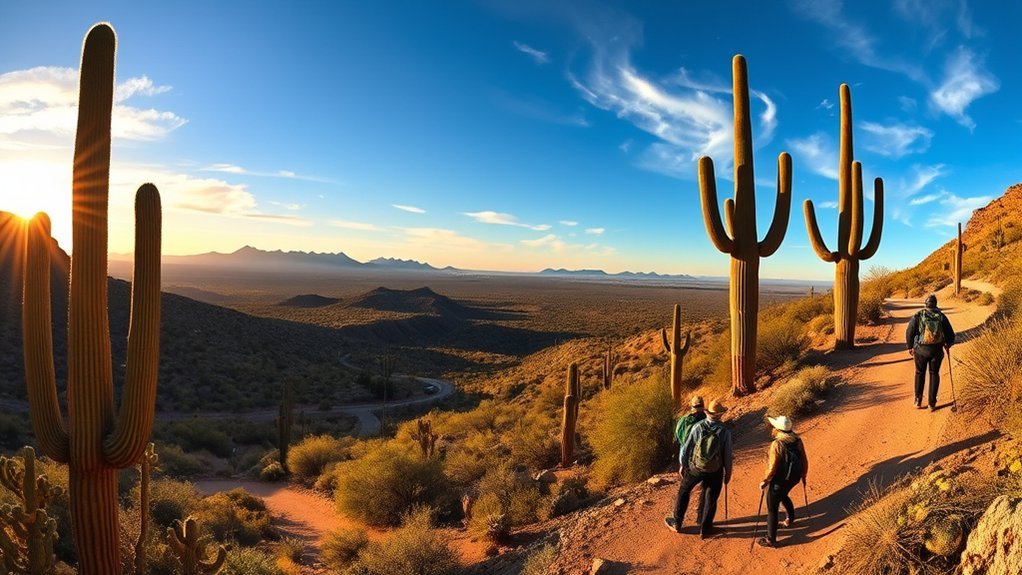
Driving is only part of the experience. Even a short walk takes you away from the road and into a landscape of saguaros, cholla, palo verde, desert washes, birds, reptiles, and mountain views. Choose a trail that matches both your fitness and the day’s temperature.
Top Trails to Hike
- Desert Discovery Trail: roughly 0.4–0.5 mile, paved and constructed to accessibility standards in Saguaro West.
- Valley View Overlook Trail: 0.8 mile round trip in Saguaro West with an overlook across Avra Valley.
- Signal Hill Petroglyph Trail: about 0.5 mile with a short rocky ascent and views of prehistoric petroglyphs.
- Freeman Homestead Trail: approximately 1 mile in Saguaro East with desert and homesteading interpretation.
- Loma Verde Loop: 3.8 miles in Saguaro East with cactus forest, mesquite, a historic mine area, and broad views.
- Wasson Peak: about 8 miles round trip on common routes with roughly 1,700 feet of climbing and panoramic Tucson Mountain views.
Scenic Drives & Views
Bajada Loop Drive is the signature road in Saguaro West. The approximately 6-mile route is mostly gravel and passes trailheads and picnic areas. The National Park Service says ordinary passenger vehicles can normally drive it without high clearance or four-wheel drive.
Cactus Forest Drive is the signature East District route. This 8-mile paved loop winds through foothills and gives you access to short walks, overlooks, picnic areas, and longer trails. Cyclists also use the road, so stay alert on curves and descents.
For sunset in the East District, Javelina Rocks is an easy roadside choice. The National Park Service also recommends walking a short distance up the Tanque Verde Ridge Trail for a higher west-facing view.
Where to Stay, Eat, and Charge Your EV
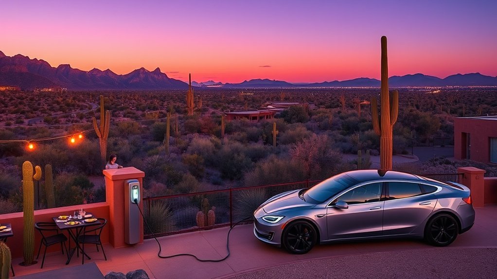
Tucson is the most practical base for lodging, restaurants, groceries, fuel, and other services. There are no hotels or lodges inside Saguaro National Park. Tucson options include properties such as JW Marriott Tucson Starr Pass Resort and Adobe Rose Inn, along with many hotels closer to downtown and the city’s east side. Choose your location based on which park district you plan to visit most.
There is also no car or RV camping inside Saguaro National Park. The park’s overnight camping consists of six designated hike-in wilderness campgrounds in the Rincon Mountain District. Reservations and wilderness camping permits are required. The National Park Service currently lists the camping permit fee as $8 per campsite per night. Check the official camping page before planning an overnight hike.
Gilbert Ray Campground, operated by Pima County near Saguaro West, is outside the national park and offers tent and RV camping, restrooms, and potable water. It operates seasonally, so confirm current dates and reservations directly with Pima County before relying on it.
There are no restaurants inside either national park district. Pack enough food and water for your visit rather than expecting to buy supplies after entering.
EV drivers: do not rely on finding a charger at a park entrance. Charge in Tucson before beginning your park day and use the U.S. Department of Energy’s Alternative Fueling Station Locator to check currently operating public chargers and connector types.
- Stay in Tucson for the widest lodging and dining selection.
- Choose lodging on the same side of Tucson as the district you plan to visit.
- Reserve wilderness camping before an overnight trip.
- Check Gilbert Ray’s seasonal operating schedule before booking.
- Pack food and water before entering the park.
- Charge an EV in Tucson and verify stations before departure.
What to Pack and Safety Tips for the Desert
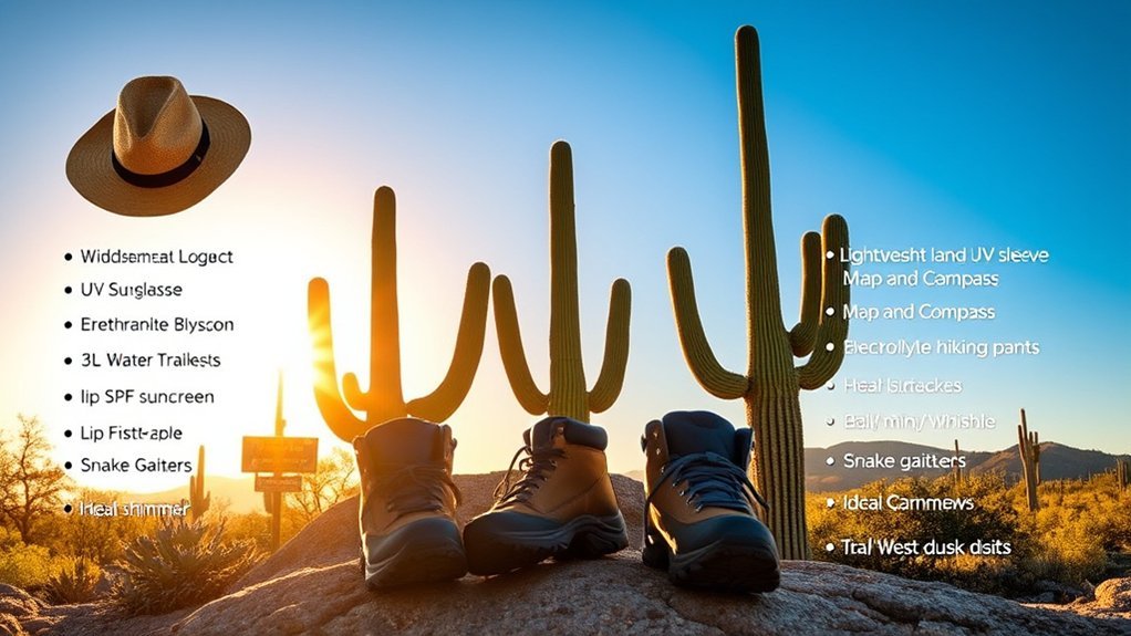
Desert conditions change quickly, and shade can be scarce. Bring more water than you expect to need, high-energy snacks, sun protection, breathable clothing, and sturdy closed-toe footwear. Carry warmer layers during winter mornings and evenings.
For hot-weather hiking, follow the National Park Service’s hiking safety guidance. In hot, dry summer conditions, the park advises drinking about one quart of water per hour of hiking. Do not wait until you feel thirsty before drinking.
| Item | Purpose | Tip |
|---|---|---|
| Water | Prevent dehydration | Carry extra; needs rise sharply with heat and hike length |
| Snacks and electrolytes | Replace energy and salts | Pack enough for delays |
| Sun protection | Reduce sun exposure | Use a hat, sunscreen, sunglasses, and protective clothing |
| Sturdy shoes | Traction and foot protection | Expect rocks, cactus spines, and uneven trail surfaces |
| Map / offline navigation | Route finding | Cell service can be unreliable |
| Emergency beacon | Backcountry emergency communication | Consider one for remote wilderness trips |
Tell someone your route and expected return time before a longer hike. Stay on designated trails and follow posted regulations. Off-trail hiking is restricted in lower-elevation areas, and overnight wilderness trips require permits.
During monsoon season, turn around when storms build. Dry washes can flood rapidly even when rain falls some distance away. If water begins rising, move to higher ground rather than trying to cross it.
Pets, Accessibility, and Other Practical Rules
Pets are allowed only in selected areas and on a limited number of trails. In Saguaro West, dog-friendly choices include the paved Desert Discovery Trail and Bajada Loop Drive. In Saguaro East, options include the paved Desert Ecology Trail, portions of Mica View Trail, and Cactus Forest Drive. Keep pets leashed and check the current NPS pet rules before your visit.
Both visitor centers provide accessible parking, restrooms, drinking fountains, paved cactus-garden paths, and accessible interpretive features. The Desert Discovery Trail in the West District is paved and constructed to accessibility standards, while parts of the East District also provide mobility-friendly options. Review the NPS accessibility information for current trail details.
Wildlife should be viewed from a distance. Do not feed or handle animals. Drones and ATVs are prohibited within park boundaries, and special rules apply to bicycles, horses, wilderness travel, and large groups.
Frequently Asked Questions
What’s the best way to see Saguaro National Park?
Choose one district for the day, drive its scenic loop, and add one or two walks. Saguaro West works especially well for Valley View, Signal Hill, Desert Discovery, and the Bajada Loop. Saguaro East is better for the paved Cactus Forest Drive and access to longer mountain trails.
How much time does it take to see Saguaro National Park?
Allow at least half a day for one district and a full day if you want a scenic drive plus several hikes or stops. Two days is more comfortable if you want to explore both districts because they are about 30 miles and roughly 45–60 minutes apart.
Is there a scenic drive through Saguaro National Park?
Yes. Saguaro West has the approximately 6-mile Bajada Loop Drive, which is mostly gravel. Saguaro East has the 8-mile paved Cactus Forest Drive. Both provide trail access, picnic areas, desert views, and photography stops.
What places should I see in Saguaro National Park?
Top West District stops include Valley View Overlook, Signal Hill, Desert Discovery Trail, Bajada Loop Drive, and Wasson Peak for experienced hikers. In the East District, consider Cactus Forest Drive, Freeman Homestead Trail, Mica View, Javelina Rocks, and Tanque Verde Ridge.
Which is better, Saguaro East or Saguaro West?
Neither is universally better. Choose West for especially dense saguaro scenery, short sightseeing stops, petroglyphs, and Wasson Peak. Choose East for a paved scenic loop, larger mountain landscapes, and access to extensive wilderness hiking and backcountry camping.
Can you camp inside Saguaro National Park?
Yes, but there is no drive-in, car, or RV campground. Six designated hike-in wilderness campgrounds are located in the Rincon Mountain District. Overnight wilderness camping requires a reservation and permit.
Conclusion
Saguaro National Park rewards a slower visit. Pick the district that best fits your day, start early, carry plenty of water, and leave room for short stops when the desert catches your attention. Winter and spring offer the easiest hiking conditions, while summer demands much more caution. Whether you watch the sun set behind hundreds of saguaros, study ancient petroglyphs at Signal Hill, or hike into the Rincon Mountains, respect the desert and check current conditions before you go.
Sources
- National Park Service: Fees & Passes — current entrance fees, seven-day validity, and cashless payment information.
- National Park Service: Current Conditions — current visitor-center hours, roads, water availability, and changing park conditions.
- National Park Service: Getting Around — Bajada Loop, Cactus Forest Drive, cycling, and road information.
- National Park Service: Hiking Safety — heat, hydration, and desert hiking precautions.
- National Park Service: Camping — wilderness camping locations, permits, and campsite rules.
- National Park Service: Weather — seasonal temperatures, monsoon timing, and flash-flood guidance.