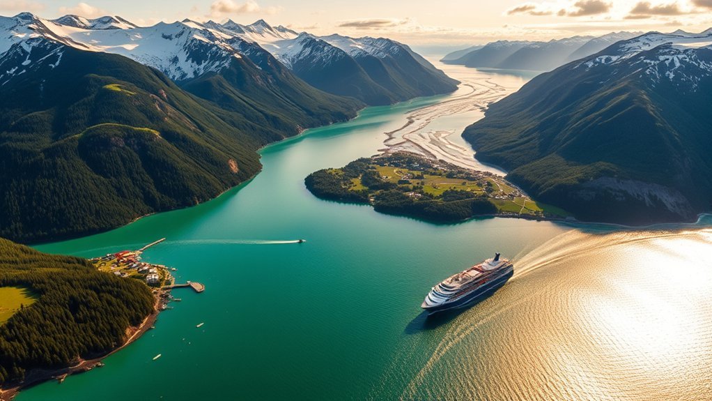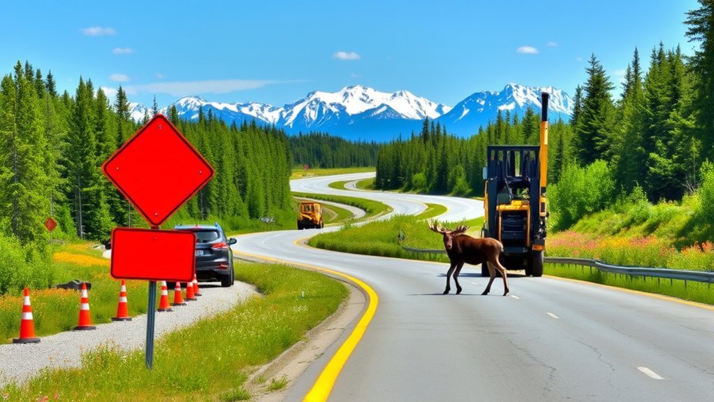
Summer is one of the busiest times for both road trips and highway work in Alaska. Long distances, active construction zones, changing weather, wildlife, and limited services can all affect a drive. Before leaving Anchorage, Fairbanks, the Kenai Peninsula, or another community, check the latest road conditions and build extra time into your schedule.
Quick Answer
For a safer Alaska summer road trip, check Alaska 511 immediately before each drive, expect construction delays, slow down for wildlife, keep extra fuel and emergency supplies, and confirm rental-car road restrictions. In summer 2026, travelers should also know about active highway projects and the Denali Park Road closure at Mile 43.
Key Takeaways
- Use Alaska 511 for current road conditions, closures, roadwork, incidents, cameras, and weather information.
- Do not rely on a months-old construction list. Traffic patterns and work zones can change during the summer.
- Moose and other wildlife can enter the roadway suddenly, including outside marked crossing areas.
- Private vehicles are generally limited to Mile 15 of the Denali Park Road during the summer, and the road remains closed at Mile 43 in summer 2026.
- Alaska has one toll facility, the Anton Anderson Memorial Tunnel to Whittier.
Current Road Conditions in Alaska
Alaska road conditions can change quickly because of construction, rain, wildfire activity, flooding, rockfall, maintenance, crashes, and other local conditions. Instead of relying on a static article for a live status report, check Alaska 511 shortly before departure.
The Alaska 511 map includes road conditions, incidents, roadwork and maintenance, temporary work zones, closures, weather information, traffic cameras, and other traveler information. Check the full route rather than only the highway near your starting point.
Pro Tip: Check Alaska 511 when you are still somewhere with reliable service. If your route crosses areas with weak cell coverage, save or download the information and keep an offline map or paper map as a backup.
Remote stretches can have long distances between fuel, food, repair services, and reliable cellular coverage. Keep your fuel level comfortably above empty and avoid planning a schedule that depends on making every mile at normal highway speed.
Key Construction Areas to Watch in Summer 2026
Alaska has multiple highway projects underway during the 2026 construction season. Project schedules can change, so treat the examples below as planning alerts rather than a substitute for checking Alaska 511 on the day you travel.
- Glenn Highway near Peters Creek: Alaska DOT&PF reports that work on the northbound Peters Creek Bridge is continuing during summer 2026. The northbound bridge and northbound Birchwood Loop Road on-ramp have been closed while crews replace the bridge deck, with traffic using the other bridge under a changing lane configuration. Check the official Glenn Highway Bridge Deck Preservation page and Alaska 511 before traveling between Anchorage and the Mat-Su area.
- Parks Highway: Reconstruction, culvert, drainage, and other projects are planned or underway on portions of this long Anchorage-to-Fairbanks corridor. Work can involve reduced speeds, flagging, equipment, lane shifts, and delays.
- Kenai Peninsula routes: Highway rehabilitation and bridge projects are active in the region. Travelers heading toward Kenai, Soldotna, Cooper Landing, Homer, or Seward should check the complete route rather than assuming conditions are unchanged from a previous trip.
- Glenn, Sterling, and other major corridors: Alaska DOT&PF maintains active project lists across the state. Construction impacts vary by location and phase, so verify the latest traffic restrictions before departure.
- Dalton Highway: This remote route demands extra preparation even when there is no major construction delay. Services are sparse, road surfaces can be rough, and rental-vehicle restrictions may apply.
Warning: Never assume a construction zone will look the same on your return trip. Follow temporary speed limits, flaggers, pilot cars, lane-control devices, and posted detours even if your navigation app suggests another route.
Wildlife Crossings: What to Expect
Driving in Alaska means sharing the road with wildlife. Moose are a particularly serious highway hazard because they can enter traffic with little warning. Bears, caribou, and other animals may also appear along roads depending on the region.
The Alaska Department of Fish and Game advises drivers to slow down when visibility is reduced, scan both sides of the road, keep enough distance from the vehicle ahead, and watch closely in known moose-crossing areas.
- Slow down when you see wildlife: An animal near the shoulder may move into your lane.
- Scan both roadsides: Do not focus only on the pavement directly in front of the vehicle.
- Expect more than one animal: A cow moose may have a calf nearby, and other animals may travel in groups.
- Pay attention to crossing signs: They identify areas where drivers should be especially alert, but wildlife can appear outside signed zones.
- Do not sightsee while moving: If you want to watch or photograph wildlife, use a safe designated pullout and keep an appropriate distance.
Wildlife risk does not disappear during Alaska’s long summer daylight. Stay attentive even when visibility seems excellent and traffic is light.
Essential Safety Tips for Drivers
Alaska’s highways can combine long distances, changing weather, mountain terrain, construction, wildlife, and limited roadside services. A few preparations can make an unexpected delay much easier to handle.
- Check your route before leaving: Review Alaska 511 for closures, construction, weather, and incidents.
- Inspect the vehicle: Check tires, tire pressure, brakes, lights, fluids, windshield condition, and the spare tire or repair equipment supplied with the vehicle.
- Use headlights when conditions reduce visibility: Follow every posted headlights-on requirement and make your vehicle easy for other drivers to see.
- Allow extra travel time: Construction, wildlife, RV traffic, crashes, and weather can slow a trip without warning.
- Keep emergency supplies: Carry water, food, warm layers, a first aid kit, flashlight or headlamp, charging equipment, and basic vehicle emergency items.
- Carry backup navigation: Download offline maps or carry a paper map instead of assuming cellular navigation will work everywhere.
- Plan fuel stops: Do not wait until the tank is nearly empty on a remote highway.
- Avoid fatigued driving: Alaska’s long summer daylight can make a late hour feel earlier than it is. Stop when you are tired.
Note: The Alaska Department of Public Safety recommends carrying navigation tools, extra food and water, changing-weather clothing, emergency supplies, and an appropriate communication device when traveling in remote areas.
Scenic Routes Worth Exploring
Alaska’s highways provide exceptional scenery, but the safest way to enjoy it is to separate driving from sightseeing. Use designated viewpoints and pullouts rather than slowing unexpectedly in a travel lane.
Seward Highway
The Seward Highway south of Anchorage follows Turnagain Arm before continuing toward the Kenai Peninsula. Mountains, water, tidal flats, and occasional wildlife make it a memorable drive. Stay focused on the road through curves and changing weather, and check Alaska 511 for construction or traffic impacts before leaving.
Glenn Highway
The Glenn Highway offers broad mountain views as it connects Anchorage with communities to the northeast. In summer 2026, travelers should pay particular attention to the Peters Creek Bridge construction area near Chugiak and verify the latest lane configuration before departure.
Denali Park Road
The Denali Park Road requires special planning. According to the National Park Service’s summer 2026 conditions, the road remains closed at Mile 43 because of the Pretty Rocks Landslide. During the summer bus season, private vehicles are generally restricted beyond Savage River at Mile 15, while transit and tour buses travel no farther than the East Fork Bridge at Mile 43.
That means the Denali Park Road should not be planned like a normal unrestricted scenic highway. Check National Park Service conditions and transportation information before arriving.
Frequently Asked Questions
What are the best times to travel in Alaska during summer?
June through August is Alaska’s main summer travel period, with long daylight hours, generally warmer conditions, and the broadest availability of visitor services and activities. There is no single best week for everyone. Earlier or later travel may mean different weather, crowds, prices, wildlife activity, and operating schedules.
Are there any tolls on Alaskan roads?
Most Alaska highways do not charge a toll, but there is an important exception. Alaska DOT&PF identifies the Anton Anderson Memorial Tunnel, also called the Whittier Tunnel, as the state’s toll facility. The currently posted Class A passenger-vehicle toll is $13 round trip. Check the official tunnel toll page before traveling because rates and vehicle classifications can change.
What should I pack for an Alaskan road trip?
Pack layered clothing, sturdy footwear, water, nonperishable snacks, a first aid kit, flashlight or headlamp, charging equipment, offline or paper maps, and basic vehicle emergency supplies. For outdoor stops, carry appropriate wildlife-safety equipment such as bear spray and store and use it according to its directions.
Can I use a rental car for off-road or gravel-road driving in Alaska?
Do not assume that you can. Rental-company rules vary by company, vehicle, road, and protection plan. Some agreements prohibit off-road driving or restrict particular gravel and remote highways. Read the rental agreement and permitted-road rules before planning routes such as the Dalton or other remote unpaved roads.
How can I stay connected in remote areas of Alaska?
Download offline maps before leaving reliable service and do not depend on a normal mobile hotspot where cellular coverage is unavailable. For genuinely remote travel, consider an appropriate satellite communicator, satellite phone, emergency beacon, or radio. Tell someone your route and expected return time before entering a remote area.
How often should I check Alaska 511 during a road trip?
Check shortly before each major drive and again after long stops if weather or construction conditions may have changed. If you need another update while traveling, pull over somewhere safe before using your phone rather than checking road information while driving.
Can I drive the entire Denali Park Road in summer 2026?
No. During the summer bus season, private vehicles are generally limited to Savage River at Mile 15. The Pretty Rocks Landslide closure remains at Mile 43 in summer 2026, and transit and tour buses travel no farther than the East Fork Bridge at Mile 43.
Sources
- Alaska 511 — current road conditions, closures, incidents, work zones, cameras, and weather information.
- Alaska DOT&PF: Glenn Highway Bridge Deck Preservation — summer 2026 Peters Creek Bridge construction and traffic information.
- Alaska Department of Fish and Game: Driving in Moose Country — wildlife-collision risks and driver precautions.
- National Park Service: Denali Current Conditions — summer 2026 Denali Park Road access and Pretty Rocks closure.
- Alaska DOT&PF: Whittier Tunnel Tolls — official vehicle classifications and toll rates.
- Alaska Department of Public Safety: Search and Rescue — remote-travel planning, emergency supplies, navigation, and communication guidance.