Arizona is home to some of the most geologically diverse highways in North America, transitioning from saguaro-studded Sonoran lowlands to 9,000-foot alpine sky islands and sheer sandstone canyons in a single afternoon. Planning a road trip across the state requires navigating diverse land jurisdictions, shifting elevations, seasonal weather extremes, and distinct park pass systems. Whether you are charting a route along the rim of the Grand Canyon, navigating the red-rock corridors of Sedona, or cruising historic stretches of Route 66, having exact mileage, permit requirements, and seasonal timing is essential for a seamless journey.
Quick Answer
The best scenic drives in Arizona include Desert View Drive (AZ-64) at the Grand Canyon South Rim, Oak Creek Canyon (AZ-89A) between Sedona and Flagstaff, the Apache Trail (AZ-88) through the Superstition Mountains, and the Mount Lemmon Scenic Byway in Tucson. Most routes take 1 to 4 hours, are paved, and require standard park passes or nominal day-use fees.
Key Takeaways
- Pass Requirements Differ: National Parks accept the America the Beautiful Pass; however, tribal lands (Monument Valley), state parks (Slide Rock), and city lots (Horseshoe Bend) require separate entry fees.
- Sedona Trailhead Transit: Popular trailheads like Cathedral Rock require taking the free Sedona Shuttle Thursday through Sunday due to lot closures.
- Elevation & Temperature Drops: Mountain routes like Mount Lemmon (Catalina Highway) and Flagstaff run 20°F to 30°F cooler than Phoenix and Tucson valley floors.
- Remote Desert Travel: Carry a minimum of one gallon of water per person per day, download offline GPS maps, and monitor summer monsoon flash flood alerts.
At a Glance
| Time Required | 3 to 7 Days (for a complete multi-region itinerary) |
| Driving Difficulty | Easy to Moderate (paved highways with switchbacks; select unpaved side spurs) |
| Recommended Vehicle | Standard sedan/SUV (high-clearance recommended for unpaved loops like Monument Valley) |
| Estimated Park Costs | $80 (Interagency America the Beautiful Pass) + $10–$20 local/tribal entry fees |
Grand Canyon South Rim: Desert View Drive & Mather Point (AZ-64)
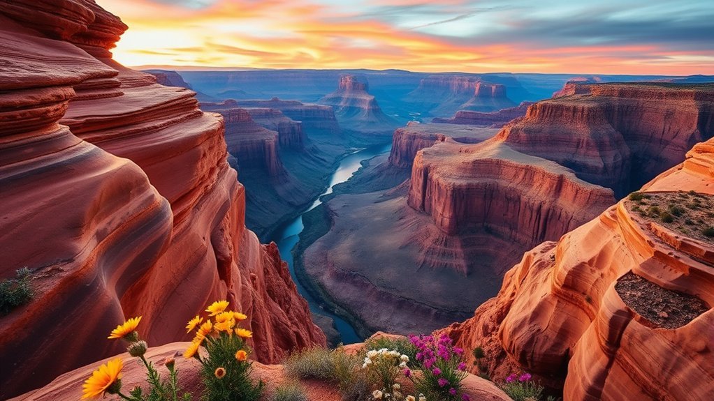
Stretching 25 miles east from Grand Canyon Village to the park’s East Entrance at Desert View, Desert View Drive (State Route 64) offers the most expansive vehicular corridor along the South Rim. Unlike the shuttle-only Hermit Road, Desert View Drive remains open to private vehicles year-round, delivering direct access to panoramic cliffside pullouts overlooking the Colorado River thousands of feet below.
Begin early at Mather Point or nearby Yavapai Point for sunrise, where the morning light accentuates the canyon’s Paleozoic sedimentary layers. As you drive eastward, stop at Moran Point, Lipan Point, and Navajo Point. Lipan Point provides one of the widest vistas of the canyon, showcasing the Grand Canyon Supergroup strata and active river rapids. The drive terminates at the historic Desert View Watchtower, a 70-foot stone structure designed by architect Mary Colter in 1932 that incorporates ancestral Puebloan architectural styles and murals. The site is managed by the National Park Service and offers interpretive cultural demonstrations from affiliated tribal nations.
Pro Tip: Enter via the East Entrance at Cameron via US-89 to avoid the long vehicle entry queues common at the South Entrance Gate near Tusayan, especially between 9:00 AM and 2:00 PM.
Sedona Red Rock Loop: Oak Creek Canyon & Cathedral Rock Views
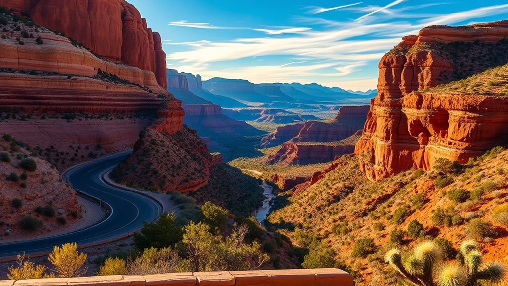
Sedona’s landscape is defined by Permian-age Schnebly Hill Formation sandstone, towering buttes, and lush riparian corridors. Connecting northern high desert with the Colorado Plateau, this region combines tight canyon curves with sweeping red-rock vistas along State Route 89A and the Red Rock Scenic Byway (SR 179).
Oak Creek Canyon Drive (AZ-89A)
Winding for 14 miles between Sedona and the ponderosa pine forests of Flagstaff, Oak Creek Canyon Drive drops 4,500 feet through a narrow volcanic and sandstone gorge. The road hugs the perennial waters of Oak Creek, flanked by cottonwoods, sycamores, and sheer 1,000-foot walls. Key stops include the Oak Creek Vista at the canyon rim for scenic overlooks and Navajo artisan craft stalls, and Slide Rock State Park, a historic apple orchard featuring natural slickrock water chutes. Maintained within the Coconino National Forest, this route requires cautious driving along tight hairpin turns with limited shoulder space.
Cathedral Rock Viewpoints & Red Rock Loop
For iconic panoramas of Sedona’s spire formations, take the Red Rock Loop Road off SR 89A, which winds past elevated overlooks of Cathedral Rock and Courthouse Butte. The standard trailhead for hiking Cathedral Rock is located on Back O’ Beyond Road.
Warning: The Back O’ Beyond trailhead parking lot is closed to private vehicles from Thursday morning through Sunday evening year-round. Visitors must utilize the free Sedona Shuttle departing from the North SR 179 or Posse Grounds park-and-ride lots.
Route 66 to Flagstaff: Historic Stops & Walnut Canyon Overlook
Traversing Northern Arizona along Interstate 40 and historic alignments of U.S. Route 66 connects travelers with mid-century Americana, high-altitude ponderosa forests, and preserved ancestral cliff architecture.
Route 66 Landmarks
Driving through Seligman, Williams, and Flagstaff offers an authentic look at the Mother Road. Seligman is widely regarded as the birthplace of the Historic Route 66 rebirth, featuring retro diners, mid-century neon signage, and classic motor courts. Further east, the town of Williams serves as the railhead for the Grand Canyon Railway and maintains preserved vintage storefronts along its main thoroughfare.
Flagstaff Dining Stops
Sitting at 7,000 feet elevation, downtown Flagstaff blends mountain town culture with historic Route 66 architecture. The walkable historic district around Aspen Avenue and Route 66 features craft brewpubs, wood-fired pizzerias, and Southwestern cafes. Local establishments emphasize regional ingredients, from Hatch chile specialties to locally roasted coffee, making it an ideal refueling stop between canyon excursions.
Walnut Canyon Overlook
Located just 7.5 miles east of Flagstaff, Walnut Canyon National Monument preserves more than 80 cliff dwellings constructed by the Sinagua people between 1100 and 1250 CE. Visitors can take the 0.7-mile paved Rim Trail for expansive views across the 400-foot-deep canyon and lookouts over ancient masonry homes built under limestone ledges. For an up-close look, the strenuous 0.9-mile Island Trail descends 240 steps directly past 25 cliff dwelling rooms.
Monument Valley Scenic Drive: Tribal Park Viewpoints
Straddling the Arizona-Utah border along U.S. Route 163, the Monument Valley Navajo Tribal Park contains some of the most recognized geological monuments on earth, with sandstone buttes rising up to 1,000 feet above the valley floor.
“The red sandstone monoliths of Tsé Biiʼ Ndzisgaii (Monument Valley) stand as monumental testaments to millions of years of wind and water erosion, preserved within Navajo Nation sovereign land.”
The self-guided 17-Mile Valley Drive is an unpaved dirt loop that winds past signature formations including the East and West Mitten Buttes, Merrick Butte, and John Ford’s Point. Because this road is unpaved, corrugated, and sandy, low-clearance sports vehicles should proceed with extreme caution or opt for an authorized guided tour operated by Navajo guides.
- Entry Fees: Admission is managed by Navajo Nation Parks & Recreation; entry requires a $8 per person permit. (National Park Passes are not valid here).
- Photography Etiquette: Commercial filming and drones are strictly prohibited without written permits; always ask permission before photographing local residents or private residential areas.
- Access Rules: Stay on the marked 17-mile road; hiking off-trail into the backcountry requires a licensed Navajo guide.
Apache Trail (State Route 88): Canyon Lake to Tortilla Flat
The Apache Trail (State Route 88) links Apache Junction on the edge of the Phoenix metro area to the rugged interior of the Superstition Wilderness and Tonto National Forest. Originally constructed in 1904 to support the building of Theodore Roosevelt Dam, the route threads narrow basalt canyons, desert reservoirs, and volcanic peaks.
| Stop / Landmark | Mile Marker | Key Attraction & Road Status |
|---|---|---|
| Lost Dutchman State Park | MP 201 | Views of the Superstition Mountains; Siphon Draw Trailhead. Paved. |
| Canyon Lake & Marina | MP 210 | Dolly Steamboat cruises, lakeside viewpoints, sheer canyon walls. Paved. |
| Tortilla Flat | MP 213 | Historic stagecoach settlement (population 6), saloon, and mercantile. Paved to this point. |
| Fish Creek Hill Overlook | MP 218 | Dramatic canyon drop-off. Road transitions to unpaved gravel; high-clearance advised. |
Note: While SR 88 is paved and easily navigable to Tortilla Flat, stretches beyond Tortilla Flat toward Apache Lake include narrow unpaved dirt shelves. Always check the Arizona Department of Transportation (ADOT) road status before driving past Milepost 214.
Mount Lemmon Scenic Byway: Sky Island Views & Aspen Groves
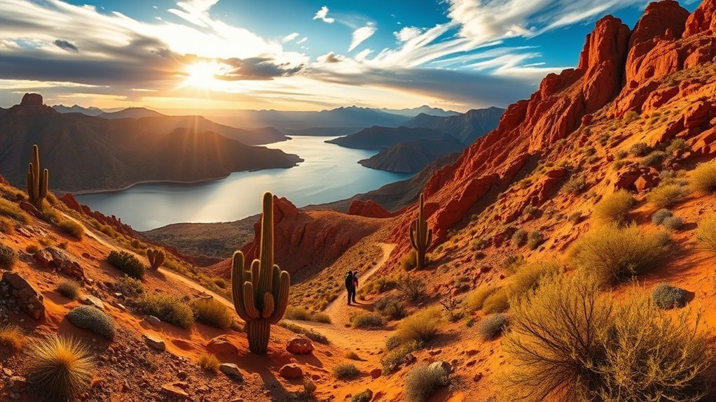
Rising directly out of the Sonoran Desert in Northeast Tucson, the Catalina Highway (General Hitchcock Highway) climbs 27 miles to the summit of Mount Lemmon at 9,157 feet. This drive traverses five distinct ecological life zones—the equivalent of traveling from Mexico to Canada in under an hour.
As you climb, giant saguaro cacti yield to semi-desert grasslands, oak woodlands, ponderosa pines, and eventually Douglas firs and quaking aspen groves near the alpine village of Summerhaven. Notable pullouts include:
- Babad Do’ag Scenic Overlook: Low-elevation pullout showcasing sweeping views of the Tucson Basin.
- Windy Point Vista (MP 14): A dramatic granite promontory at 6,600 feet elevation, popular for sunset panoramas and rock climbing views.
- Rose Canyon Lake: A high-elevation forested lake offering summer fishing and hiking trails.
- Summerhaven: A mountain community featuring cabins, local eateries, and the Mount Lemmon Ski Valley—the southernmost ski destination in the continental United States.
Pro Tip: Temperatures at the summit of Mount Lemmon are consistently 20°F to 30°F cooler than in Tucson. In winter, carry tire chains, as ADOT frequently enforces traction restrictions following mountain snowstorms.
Saguaro National Park Scenic Drives: Bajada Loop & Cactus Forest Drive
Saguaro National Park is divided into two distinct districts separated by the city of Tucson: the Tucson Mountain District (Saguaro West) and the Rincon Mountain District (Saguaro East). Both districts offer exceptional driving corridors through dense forests of Carnegiea gigantea (giant saguaro).
In Saguaro West, the Bajada Loop Drive is an unpaved 6-mile gravel circuit accessible to standard passenger cars. The route winds through dense xeroriparian desert habitats and leads to the Signal Hill Trail, where an easy 0.3-mile walk takes visitors to prehistoric rock art petroglyphs carved by the Hohokam culture over 800 years ago.
In Saguaro East, the paved 8-mile one-way Cactus Forest Drive winds along rolling desert hills at the base of the Rincon Mountains, featuring paved pullouts, multi-use biking lanes, and interpretive nature loops such as the Desert Ecology Trail.
Lake Powell & Glen Canyon: Wahweap Overlook & Rainbow Bridge Access
Situated within the Glen Canyon National Recreation Area near Page, the drive along US-89 and Lake Shore Drive offers striking contrasts between turquoise reservoir waters and Navajo Sandstone cliffs.
The Wahweap Overlook provides 360-degree panoramic views of Lake Powell, Navajo Mountain, and the Kaiparowits Plateau. From the Wahweap Marina, visitors can access boat tours across Glen Canyon to Rainbow Bridge National Monument, one of the world’s largest known natural bridges, spanning 275 feet. Boat navigation depends on fluctuating Lake Powell water elevations, making it important to check marina launch and dock statuses before booking charters.
Vermilion Cliffs and Marble Canyon: Horseshoe Bend & Lee’s Ferry (US-89A)
Crossing the Colorado River via Navajo Bridge along U.S. Route 89A takes travelers through Marble Canyon and underneath the sheer 3,000-foot escarpment of the Vermilion Cliffs National Monument.
Just south of Page on US-89, Horseshoe Bend offers a dramatic 1,000-foot drop to an incised 270-degree meander of the Colorado River. The viewing area is reached via a 1.5-mile round-trip hardened path.
Note: Horseshoe Bend parking is operated independently by the City of Page and requires a $10 fee per vehicle. Federal America the Beautiful passes are not valid for parking at this facility.
Continuing west on US-89A, cross the historic Navajo Bridge—keep an eye out for endangered California condors roosting beneath the structural trusses. Turn north toward Lee’s Ferry, the historic river crossing and the official “Mile 0” launch point for white-water rafting expeditions through the Grand Canyon.
Frequently Asked Questions
Are any of these Arizona scenic routes wheelchair-accessible or ADA-friendly?
Yes. Many major overlooks along Desert View Drive (including Mather Point and the ground floor of Desert View Watchtower), the Horseshoe Bend Trail, Saguaro East’s Desert Ecology Trail, and Mount Lemmon’s Windy Point Vista offer paved, grade-compliant paths, dedicated ADA parking spaces, and accessible restroom facilities.
What are the best months to avoid crowds and extreme heat?
The best months for statewide road trips are October through November and March through April. These transition months provide comfortable daytime temperatures (65°F to 80°F) in low desert regions like Tucson and Phoenix, while avoiding heavy winter snowpacks in Flagstaff and extreme summer heat along the canyon floors.
Can I bring my dog to overlooks and trails along these routes?
Dogs are permitted on paved overlooks and along the rim trails of the Grand Canyon South Rim, as well as on National Forest lands in Oak Creek Canyon and Mount Lemmon, provided they remain on a 6-foot leash. However, pets are restricted on unpaved interior trails at Saguaro National Park and Walnut Canyon National Monument to protect fragile desert wildlife.
Where can I find gas, food, and emergency services on remote desert stretches?
Major service hubs include Flagstaff, Page, Sedona, and Tucson. However, remote corridors such as US-89A through Marble Canyon, US-163 through the Navajo Nation, and SR 88 have stretches of 40 to 60 miles without fuel or cellular connectivity. Refuel when your tank reaches a quarter full, download offline digital maps, and carry emergency water.
Do I need permits or passes for photography or driving on tribal lands?
Standard personal recreational photography does not require special permits. However, commercial filming, professional portrait shoots, and drone operations require commercial permits on federal lands (NPS, USFS, BLM) and are strictly regulated or banned on Navajo Nation sovereign territory. Accessing backcountry tribal areas off main highways always requires a licensed tribal guide.
Conclusion
Exploring Arizona by road reveals an extraordinary transition of geology, elevation, and cultural heritage. From watching dawn illuminate the sandstone layers of the Grand Canyon’s Desert View Drive to climbing past five distinct biological life zones along Mount Lemmon’s Catalina Highway, each scenic byway delivers a distinct perspective on the American Southwest. Ensure your vehicle is prepared for elevation changes and desert climates, verify transit protocols like Sedona’s trailhead shuttles, and respect tribal land regulations to experience the best driving routes the state has to offer.
Sources
- National Park Service: Grand Canyon National Park — South Rim route guidelines, Desert View Drive viewpoints, and park regulations.
- U.S. Forest Service: Coconino National Forest — Oak Creek Canyon (AZ-89A) driving conditions, Red Rock passes, and Sedona trail access.
- Navajo Nation Parks & Recreation: Monument Valley — Entry fees, Valley Drive regulations, and tribal permit protocols.
- National Park Service: Saguaro National Park — Bajada Loop and Cactus Forest scenic drive maps and petroglyph trail documentation.
- Bureau of Land Management: Vermilion Cliffs National Monument — Marble Canyon, Navajo Bridge, and Lee’s Ferry access details.