Lake Havasu City is a practical base for short desert outings, Route 66 drives, wildlife watching, swimming, and mountain escapes. You can paddle Topock Marsh, meet Oatman’s burros, follow the Colorado River past Parker Dam, relax at Cattail Cove, or spend a cooler day in the Hualapai Mountains. Most options are close enough to complete without changing hotels.
Quick Answer
The best day trips from Lake Havasu City include Topock Marsh for paddling, Oatman for Route 66 history, Parker Dam for river scenery, Cattail Cove for a beach day, Kingman for museums, and Hualapai Mountain Park for cooler hiking. The seasonal Desert Bar is the most unusual option.
Key Takeaways
- Topock Marsh is best for quiet paddling and birdwatching, but part of the marsh has a seasonal wildlife closure.
- Oatman and Kingman can be combined for a full Route 66 history day.
- Parker Dam and the Parker Strip offer an easy scenic drive with river-access and picnic stops.
- Cattail Cove is a low-effort lake day, while nearby BLM areas are better for OHV riding.
- Hualapai Mountain Park offers higher elevations and cooler conditions than the lakeshore.
- The Desert Bar is seasonal and reached by an unpaved road, so verify its schedule and road conditions first.
Day Trips From Lake Havasu City at a Glance
Driving times are approximate and can change with traffic, construction, weather, and your starting point in Lake Havasu City. Check live directions before leaving.
| Destination | Approximate Drive | Best For | Plan For | Important Note |
|---|---|---|---|---|
| Topock Marsh | About 45–60 minutes | Kayaking and birds | Half or full day | Check refuge closures and wind |
| Oatman | About 1 hour | Route 66 and burros | Half or full day | Verify gunfight times |
| Parker Dam and Parker Strip | About 45 minutes | Scenic driving and swimming | Half day | No oversized vehicles or trailers across the dam |
| Cattail Cove | About 20 minutes | Beach and easy lake time | Half or full day | Day-use fee normally applies |
| Bill Williams River NWR | About 25 minutes | Birding and short trails | 1–4 hours | No entrance fee |
| Kingman | About 1 hour | Museums and Route 66 | Half or full day | Check museum hours |
| Hualapai Mountain Park | Just over 1 hour | Cooler hiking and picnics | Half or full day | Mountain weather can differ from the lake |
| Desert Bar | Allow extra time for the dirt road | An unusual seasonal stop | Half day | Usually open cool-season weekends only |
Explore Havasu National Wildlife Refuge and Topock Marsh
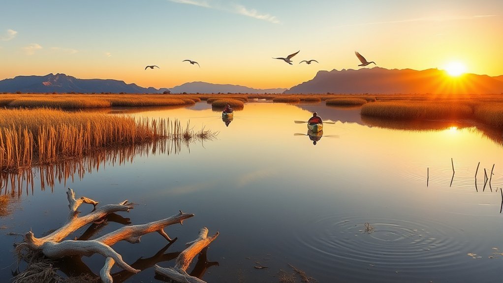
Havasu National Wildlife Refuge and Topock Marsh protect a broad wetland habitat surrounded by Mojave Desert scenery. Quiet channels attract waterfowl, herons, egrets, grebes, raptors, and other wildlife.
The refuge lists three free Topock Marsh boat launches: North Dike, Five Mile Landing, and Catfish Paradise. Review the refuge’s non-motorized boating information before choosing a launch.
North Dike also provides access to a dike road that can be explored on foot. Facilities are limited, so bring everything you need and do not expect a developed visitor center beside the marsh.
Note: A designated portion of Topock Marsh closes to all public access from October 1 through the end of Arizona’s waterfowl season. Check current refuge alerts and maps before driving to a launch.
Go early in the morning for calmer conditions, cooler temperatures, and better wildlife activity. Wear a properly fitted life jacket, secure drinking water inside your boat, and avoid paddling when strong wind or storms are forecast.
Warning: Kayaks, canoes, and paddleboards are watercraft. Carry a suitable life jacket for every person and wear it while paddling. Wind can build waves quickly on exposed water.
Take a Route 66 Day Trip to Oatman
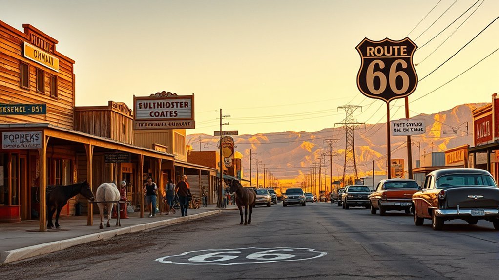
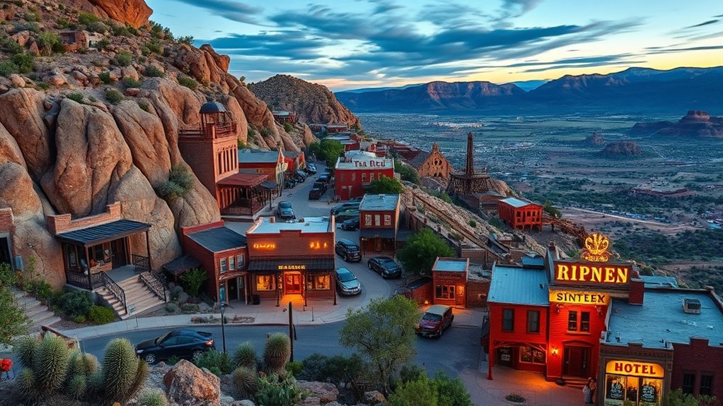
Oatman is one of the most memorable day trips from Lake Havasu City. The former mining settlement sits along a scenic section of Historic Route 66 and is known for wooden storefronts, staged Old West entertainment, and free-roaming burros.
Explore Historic Oatman
Allow time to walk Main Street rather than treating Oatman as a quick photo stop. The small museums, saloons, gift shops, historic buildings, and burros can easily fill several hours.
- Walk the wooden sidewalks and browse the small shops.
- Visit the historic Oatman Hotel building.
- Watch a staged gunfight if one is scheduled.
- Photograph the burros from a respectful distance.
- Stop for lunch before continuing along Route 66.
Gunfight performances are commonly scheduled in the afternoon, but times may change with the season, weather, events, or performer availability. Check current information through Visit Arizona’s Oatman guide or a local Oatman source before planning your arrival around a show.
Pro Tip: Arrive before the busiest midday period. Parking is easier, temperatures are lower, and you will have more time to explore before afternoon entertainment begins.
Drive the Historic Route 66 Alignment
The road through Oatman is part of the original Route 66 corridor. Look for old signs, desert viewpoints, volcanic ridges, and roadside remnants linked to the route’s highway history.
The road is paved, but sections around the Black Mountains include curves, steep grades, limited shoulders, and wandering burros. Slow down and never stop in the travel lane to feed or photograph an animal.
Enjoy a Scenic Drive and River Time Near Parker Dam
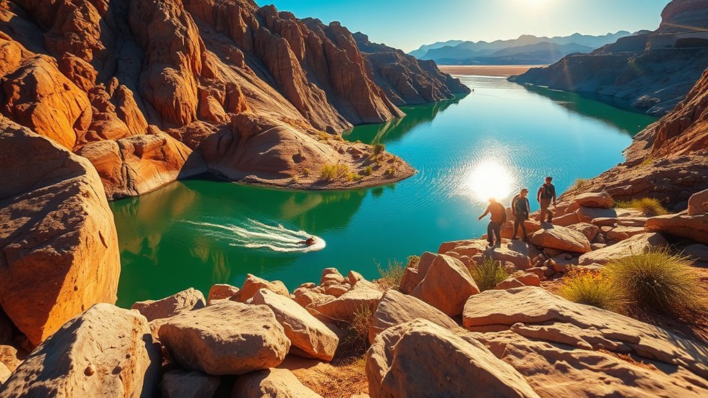
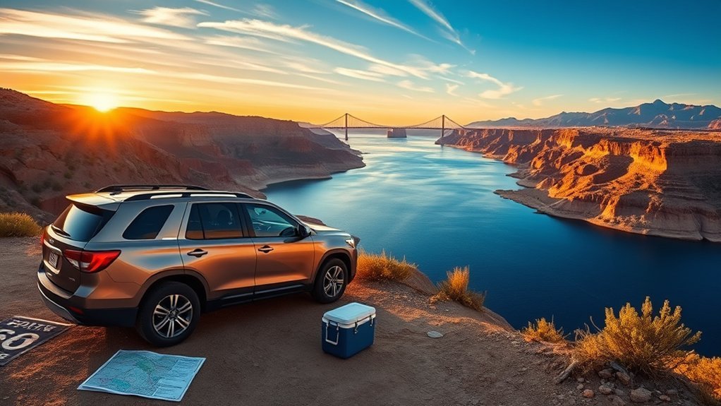
Parker Dam marks the northern end of the Parker Strip, where the Colorado River passes beaches, fishing areas, picnic sites, campgrounds, and desert viewpoints. The BLM’s paved Parker Dam Road Scenic Back Country Byway runs for 11 miles along the California side of the river.
Good public stops include Bullfrog Day Use Area for a swimming beach and shaded picnic areas, River View Day Use Area for river access and tables, and Take Off Point on the Arizona side for fishing and lake views.
- Scenic pullouts: Stop only in legal parking areas and keep the roadway clear.
- Swimming and shore time: Choose an established day-use area and follow posted water-safety rules.
- Short walks: Combine viewpoints with easy shoreline exploration rather than expecting a long hiking trail.
- Picnics: Carry food, drinking water, and a trash bag because services vary by site.
- Wildlife: Watch for burros and desert bighorn sheep, especially near quieter road sections.
Warning: Oversized vehicles and vehicles towing trailers are not allowed to cross Parker Dam. Video and drone restrictions also apply near the dam. Follow all posted security and traffic signs.
Parker and Davis dams are working facilities rather than public dam-tour attractions. Enjoy the views and interpretive information from designated public areas, but do not attempt to enter restricted structures.
Plan a Beach Day at Cattail Cove State Park

Cattail Cove State Park sits approximately 15 miles south of Lake Havasu City. It offers a quieter lake setting with a beach, boat ramp, campground, picnic areas, fishing access, and hiking trails.
Check current day-use hours, entrance fees, capacity notices, and park rules through the official Cattail Cove State Park facility information.
A simple visit can include swimming, a picnic, and a short shoreline walk. For more activity, follow the trail toward Whytes Retreat or rent paddling equipment when an authorized concession is operating.
If You’re Bringing an OHV
Cattail Cove is primarily a lake-access, camping, and hiking destination. Do not ride on the beach or hiking trails unless a route is specifically signed for motorized use.
For designated riding, consider nearby BLM-managed areas such as Crossroads OHV Area or Copper Basin Dunes OHV Area. Confirm current routes, vehicle requirements, closures, and permit or decal rules before unloading.
Soft-Sand and Desert Driving Safety
Loose sand and desert heat can turn a short ride into a recovery problem. Carry a full-size spare or repair kit, jack, shovel, tow strap, first-aid kit, drinking water, and a way to reinflate tires. Travel with another vehicle when possible and stay on legal routes.
Never drive into a wash when storms are nearby. Rain falling miles away can send fast-moving water through an otherwise dry channel.
Visit Bill Williams River National Wildlife Refuge
Bill Williams River National Wildlife Refuge is approximately 17 miles south of Lake Havasu City and is one of the easiest nature-focused trips in the area. There is no entrance fee.
The refuge visitor area includes an auto-tour route, fishing docks, a non-motorized launch, and the Peninsula and Delta trails. The first quarter-mile of the Peninsula Trail is paved and designed to meet accessibility standards; the final portion has a natural surface.
Choose your visit based on the time available:
- 15–30 minutes: Read the interpretive signs and look for birds near the visitor center.
- About one hour: Drive the auto route or walk part of the Peninsula Trail.
- Half a day: Hike, fish from the docks, or paddle the river channel.
Spring, fall, and winter provide the most comfortable conditions. Check official hours and directions through the U.S. Fish and Wildlife Service visitor page. Search specifically for the refuge visitor center when using a navigation app because broad searches can lead toward remote roads without facilities.
Follow a Scenic Loop Around Lake Havasu City

When you do not want a long drive, combine London Bridge, the waterfront, the Island, and nearby lake viewpoints into a local half-day loop.
The Island Jogging Path, often called the Island Trail, is a paved, mostly level 3.6-mile loop used by walkers, runners, and cyclists. It offers broad views of the mountains surrounding Lake Havasu.
- London Bridge: Photograph the bridge from the channel waterfront or the Island side.
- Island Jogging Path: Walk or bike the full loop in the cooler morning or evening.
- Grand Island Park: Stop for open space, restrooms, and access to the jogging path.
- Boat-launch viewpoints: Use legal parking areas to photograph boats and the lake.
- Sunset: Finish from a west-facing waterfront viewpoint when conditions are clear.
Carry water even on this in-town route. Shade is limited along much of the Island loop, and pavement can become very hot during summer afternoons.
Explore Kingman and the Arizona Route 66 Museum
Kingman is about an hour from Lake Havasu City and offers an indoor alternative when you want history without spending the whole day outside.
The historic Powerhouse building contains the Kingman Visitor Center, the Arizona Route 66 Museum, exhibits related to electric vehicles, model trains, and a Route 66 gift shop. Review current admission and operating information through the official Historic Kingman Powerhouse guide.
After the museum, walk or drive through central Kingman, stop at Locomotive Park, and look for preserved signs and businesses connected to the Route 66 corridor.
Pro Tip: Combine Kingman with Oatman for a full Route 66 day. Visit the museum first if you want to understand the road’s history before driving the older mountain alignment.
Cool Down at Hualapai Mountain Park
Hualapai Mountain Park rises above the desert southeast of Kingman. Its higher elevation, evergreen scenery, picnic areas, and trail system create a noticeable change from the low desert around Lake Havasu.
The park works well for hiking, wildlife watching, picnicking, or simply escaping the lakeshore heat. Trails range from short walks to longer and steeper mountain routes. Review maps and current park information through Mohave County Parks.
Mountain conditions can be much cooler than Lake Havasu City. Carry a light layer during the cool season, check for winter weather, and do not assume desert temperatures apply at higher elevations.
Visit the Desert Bar and Nearby Mining Landscape
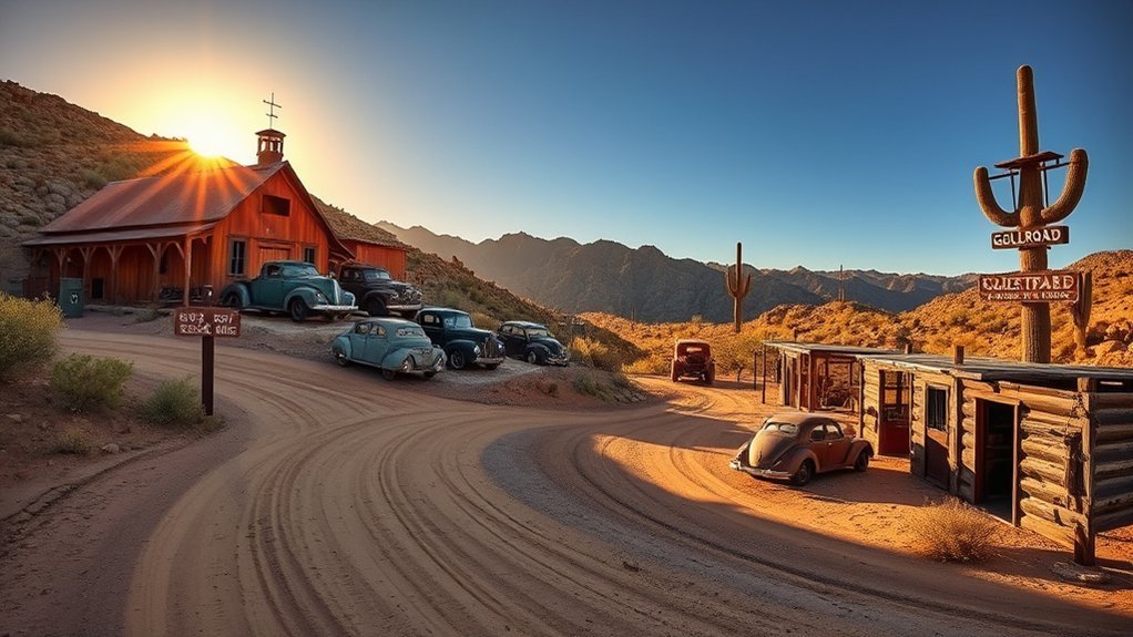
The Desert Bar, also called the Nellie E. Saloon, is a solar-powered open-air attraction in the Buckskin Mountains near Parker. It is known for its remote setting, live weekend atmosphere, metalwork, and desert views.
It typically operates on Saturdays and Sundays from noon to sundown during the cooler months, often October through April. Holiday openings and closing dates can vary. Check the current schedule through the Go Lake Havasu Desert Bar listing and the business’s current social updates before leaving.
The access road is unpaved, narrow, rough, and washboarded in places. A carefully driven passenger car may complete the road in good conditions, but higher clearance provides more margin. Do not attempt the drive during flooding, immediately after severe storms, or when your vehicle has poor tires.
You may see remnants of the area’s mining history from public routes. Do not enter shafts, tunnels, collapsing structures, or fenced property. Watch for loose rock, sharp metal, and rattlesnakes.
Choose the Best Season and Prepare for Desert Conditions
October through April usually provides the best conditions for road trips, hiking, wildlife watching, and the Desert Bar. Water-focused trips remain popular in summer, but outdoor activity should be planned for early morning.
Warning: Summer heat around Lake Havasu can become dangerous quickly. Do not rely on one small bottle of water, do not leave people or pets in a parked vehicle, and avoid remote hiking during the hottest part of the day.
During the monsoon period, thunderstorms can bring lightning, strong wind, dust, and flash flooding. Never drive around a flood barrier or enter moving water. A dry wash is not a safe parking or camping area when storms are nearby.
Before a remote drive:
- Check weather, road conditions, park alerts, and closing times.
- Fill the fuel tank before leaving the city.
- Download offline maps.
- Carry drinking water, food, sun protection, and a first-aid kit.
- Bring a spare tire, jack, tire tools, and a phone charger.
- Tell someone where you are going when using an unpaved route.
Sample Day-Trip Itineraries
Route 66 History Day
- Leave Lake Havasu City in the morning.
- Visit the Arizona Route 66 Museum in Kingman.
- Drive the historic mountain route toward Oatman.
- Walk Main Street and check the afternoon entertainment schedule.
- Return before dark if you are uncomfortable with winding desert roads at night.
River and Lake Day
- Start at Cattail Cove State Park for swimming or a short trail.
- Continue toward Parker Dam.
- Stop at Take Off Point or a Parker Strip day-use area.
- Return along Arizona Highway 95.
Wildlife Day
- Visit Bill Williams River National Wildlife Refuge early.
- Walk the paved portion of Peninsula Trail.
- Continue to a legal viewpoint or picnic stop near the lake.
- Save Topock Marsh for a separate half or full day because it lies north of the city.
Frequently Asked Questions
Which day trip is best for a first-time visitor?
Choose Oatman for an unusual Route 66 experience, Parker Dam for an easy scenic drive, or Cattail Cove for a simple beach day. Oatman offers the biggest change from Lake Havasu City, while Parker Dam requires the least walking.
Can I visit Oatman and Kingman on the same day?
Yes. Start in Kingman for the Route 66 museum, then continue through the Black Mountains to Oatman. Allow a full day, verify museum and gunfight times, and avoid rushing the winding historic road.
Are dogs allowed on trails and beaches in these areas?
Rules vary by destination. Havasu National Wildlife Refuge requires pets to remain controlled on a leash no longer than six feet. State, county, and local parks may have additional restrictions near swimming areas or sensitive habitat. Check current signs and carry waste bags.
What is cell-phone reception like?
Reception is generally strongest in Lake Havasu City, Kingman, and along major highways. It can weaken near remote marshes, mountain roads, washes, and unpaved routes. Download offline maps, charge your phone, and tell someone your plan before traveling remotely.
Which locations are wheelchair or stroller accessible?
The Island Jogging Path is paved and mostly level. Take Off Point has accessible fishing and boat-launch facilities, and the first quarter-mile of the Peninsula Trail at Bill Williams River National Wildlife Refuge is paved and designed for wheelchair access. Conditions and facility availability can change, so confirm current access notes before traveling.
Where can I rent kayaks, paddleboards, or off-road vehicles?
Look for established rental businesses near Lake Havasu City’s marinas and London Bridge area. Confirm whether transportation, safety gear, insurance, fuel, and route maps are included. For an OHV rental, verify that the operator permits use in the exact BLM riding area you plan to visit.
Do these trips require permits, fees, or reservations?
Bill Williams River and Havasu national wildlife refuges do not charge a general entrance fee. Cattail Cove State Park normally charges a day-use fee. Fishing requires the appropriate license, rentals may require reservations, and OHV requirements depend on the vehicle, rider residency, and land manager.
Can I cross Parker Dam while towing a trailer?
No. Oversized vehicles and vehicles towing trailers are not allowed to cross Parker Dam. Use an alternate route and review current BLM directions before leaving Lake Havasu City.
Which day trip is best during summer?
Choose an early beach or paddling trip only when wind and heat conditions are safe, or drive to higher-elevation Hualapai Mountain Park for cooler air. Avoid exposed desert hikes during the hottest hours and carry more water than you expect to need.
Conclusion
The best day trips from Lake Havasu City cover much more than the lake. Paddle Topock Marsh, drive Route 66 to Oatman and Kingman, explore the Parker Strip, relax at Cattail Cove, watch birds at Bill Williams River, or cool down in the Hualapai Mountains. During the cooler season, add the Desert Bar for one of western Arizona’s most unusual outings.
Choose one main destination instead of rushing through several. Check current hours, closures, weather, road restrictions, and water conditions before leaving, then carry enough fuel, water, and safety gear for the route.
Sources
- U.S. Fish and Wildlife Service: Havasu National Wildlife Refuge Non-Motorized Boating — Topock Marsh launches and paddling access.
- Bureau of Land Management: Parker Dam Road Scenic Back Country Byway — route length, recreation sites, and vehicle restrictions.
- Arizona State Parks: Cattail Cove Facility Information — park facilities, hours, fees, and rules.
- U.S. Fish and Wildlife Service: Bill Williams River National Wildlife Refuge — directions, trails, accessibility, fees, and visitor activities.
- Kingman Office of Tourism: Historic Powerhouse — Route 66 museum and visitor-center information.
- Mohave County Parks: Hualapai Mountain Park — official park and trail-planning information.