Tempe gives you an unusually wide choice of landscapes for a day trip: red-rock country, pine forest, mountain towns, desert lakes, mining history, and rugged Sonoran Desert trails are all realistic options when you plan around traffic, weather, and seasonal access. This guide compares six useful escapes—Sedona, Payson and the Mogollon Rim, Saguaro Lake, Flagstaff, Jerome, and the Superstition Mountains—so you can choose the right trip without packing too much into one day.
Quick Answer
The best day trip from Tempe depends on what you want: choose Saguaro Lake or Lost Dutchman for a shorter desert escape, Sedona for red-rock scenery, Payson and the Mogollon Rim for forest views, Flagstaff for cooler mountain air and astronomy, or Jerome for mining history and Verde Valley wine tasting.
Key Takeaways
- Choose one main destination rather than trying to combine several distant northern Arizona stops into a rushed day.
- Check road, weather, wildfire, flood, park, and forest alerts on the morning you leave because Arizona access conditions can change quickly.
- Sedona and Lost Dutchman have trail-specific difficulty and parking rules, so choose your hike before you drive.
- Payson is not the same stop as the Mogollon Rim recreation area; the Forest Service’s Mogollon Rim Visitor Center is about 32 miles east of Payson.
- For hot-weather trips, start outdoor activities early, carry more water than you expect to need, and switch to a higher-elevation destination when desert heat is excessive.
Choose the Best Day Trip from Tempe
| Destination | Best For | Plan As | Main Planning Issue |
|---|---|---|---|
| Saguaro Lake | Boating, picnics, desert-water scenery | Half or full day | Passes, boating safety, heat |
| Lost Dutchman | Sonoran Desert hiking | Half or full day | Trail difficulty, heat, park alerts |
| Payson & Mogollon Rim | Pines, overlooks, picnics | Full day for the Rim | Rim is farther east of Payson; seasonal road access |
| Sedona | Red rocks, hiking, scenic drives | Full day | Shuttle, parking, closures, trail choice |
| Flagstaff | Forest hiking, cooler weather, astronomy | Full day into evening | Mountain weather and evening timing |
| Jerome & Verde Valley | Mining history, views, wine tasting | Full day | Steep streets and sober transportation |
Before You Leave Tempe
Arizona day trips cross very different elevations and climate zones, so do not rely on Tempe’s weather alone. Check AZ511 for current highway incidents, closures, travel times, and restrictions. For northern Arizona trips, review the National Weather Service Flagstaff forecast; for Tempe, Saguaro Lake, and other lower-desert areas, use NWS Phoenix.
Warning: Summer heat, thunderstorms, lightning, wildfire closures, and flash flooding can change a safe plan quickly. During northern Arizona’s monsoon season, the National Weather Service identifies lightning and flash flooding as major hazards. Never drive through floodwater, and leave exposed trails when thunderstorms approach.
Download offline maps before leaving town, carry a charged phone and portable battery, tell someone your destination if you are hiking away from developed areas, and bring more drinking water than you expect to use. Forest roads and recreation sites can also close after snow, fire, flooding, or maintenance, so open the destination’s official alert page immediately before departure.
Pro Tip: Build your day around one anchor activity—a specific hike, lake outing, museum visit, or observatory evening—and treat everything else as optional. That leaves enough margin for traffic, parking, weather changes, meals, and scenic stops.
Sedona Red Rock Trails and Scenic Drives

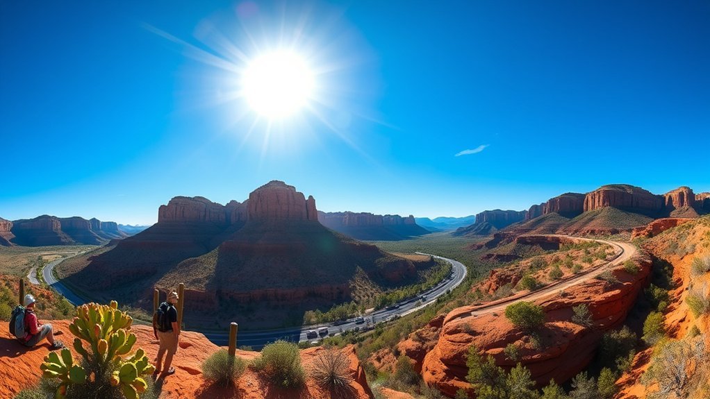
Sedona is the strongest choice when you want a full day centered on red-rock scenery. Pick your trail before you arrive because the difference between an easy pathway and a strenuous rock climb is substantial. The Bell Rock Pathway is officially rated easy and family-friendly, making it the better fit for a relaxed walk with broad views. Cathedral Rock Trail, by contrast, is steep, unshaded, difficult in places, and closer to a rock climb than an ordinary hike.
For a scenic drive, continue through Oak Creek Canyon on the Oak Creek Canyon Scenic Drive, a roughly 15-mile canyon stretch between the Sedona area and the switchbacks toward Flagstaff. Pullouts and developed recreation areas can be busy, so avoid designing a schedule that depends on finding immediate parking at every stop.
Current access note, August 16, 2026: West Fork Trail No. 108, Call of the Canyon, and several other Oak Creek recreation sites are included in a temporary Forest Service closure through September 30, 2026, unless the order is rescinded earlier, because of flash-flood danger. Check the official Coconino National Forest closure notice before planning an Oak Creek stop.
Parking also deserves advance planning. The City of Sedona operates free trailhead shuttle routes, and the Cathedral Rock trailhead parking lot closes to the general public whenever shuttle service is operating. Check the current schedule instead of assuming you can drive directly to that trailhead.
Bring sturdy shoes, sun protection, layers, and ample water. Cell coverage can weaken in canyons, so save your route offline. Early morning is usually the most practical hiking window in warm weather, while late afternoon can work for a scenic drive if storms and daylight allow.
Payson and the Mogollon Rim Escape

If you are craving pines and higher-elevation scenery, use Payson as your town stop and the Mogollon Rim as a separate recreation destination farther east. The distinction matters: the Mogollon Rim Visitor Center is approximately 32 miles east of Payson on State Route 260. A quick Payson lunch and a true Rim outing therefore fit better as a full-day plan than a casual 90-minute escape.
In Payson, stop for coffee, lunch, or visitor information before continuing east. At the Rim, choose a short out-and-back walk or viewpoint rather than automatically committing to a long trail. The forest includes ponderosa pine, high overlooks, lakes, picnic areas, and access from Forest Road 300 and connecting roads.
| Activity | Difficulty | Tip |
|---|---|---|
| Short Rim walk | Varies by route | Choose a turnaround time before starting |
| Picnic overlook | Easy | Check road and fire status first |
| Payson town stop | Easy | Use it for food and visitor information |
Bring layers even when Tempe is hot because high-country weather can be much cooler. Summer thunderstorms can develop quickly, while winter snow can shut roads in the Rim Lakes Recreation Area to wheeled vehicles. The Forest Service notes that areas such as Woods Canyon Lake transition to winter access after adequate snow accumulates, so check Apache-Sitgreaves National Forest alerts and conditions before leaving Tempe.
Saguaro Lake Boating and Picnicking

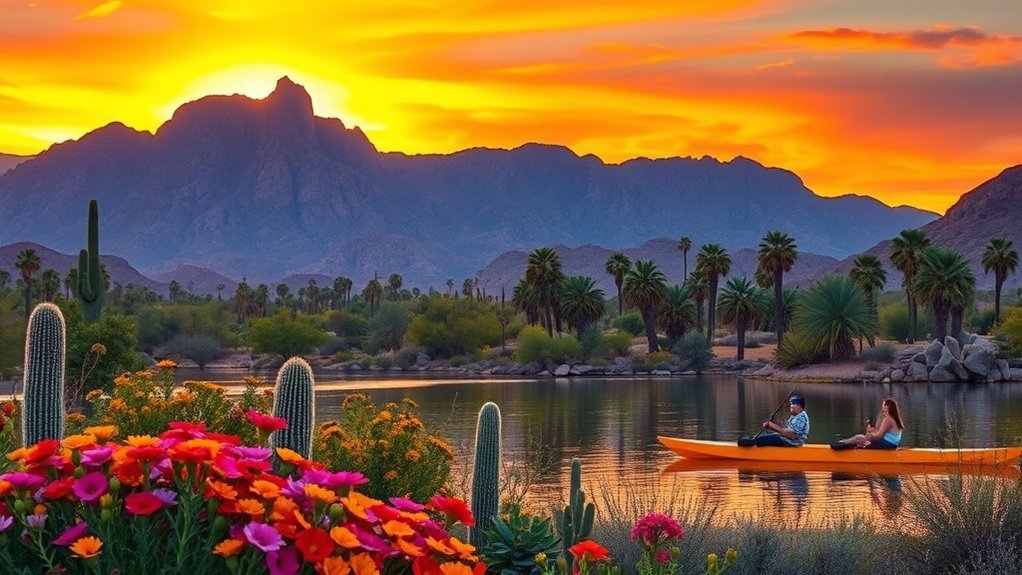
Saguaro Lake is one of the easiest choices when you want desert scenery without turning the outing into an all-day northern Arizona drive. The lake sits within Tonto National Forest, where canyon walls, saguaros, boating areas, shoreline recreation, and picnic sites create a very different setting from Tempe’s urban desert.
You can build the trip around a boat outing, a narrated commercial cruise, a picnic, shoreline fishing, or a walk from the Butcher Jones area. Do not assume the lake will always be calm; wind, boat traffic, storms, and water conditions vary. The Forest Service Saguaro Lake page is the best starting point for current recreation information.
- Pack a picnic, shade, plenty of drinking water, sunscreen, and a trash bag. Check the current Tonto National Forest pass requirements for the recreation site you plan to use.
- If swimming is part of your day, the bay in front of Butcher Jones and Saguaro del Norte is closed to motorized watercraft. Stay inside marked swimming or no-motor zones rather than treating an active boating cove as a swimming area.
- If you rent or operate a boat, inspect required safety equipment before departure and keep USCG-approved life jackets readily available and properly sized.
Boating Safety: Arizona Game and Fish requires children age 12 and younger to wear a properly fitted USCG-approved life jacket whenever a vessel is underway. Personal-watercraft users and people being towed also have mandatory life-jacket requirements. Review the current Arizona boating rules before launching.
Morning generally gives you more flexibility in hot months. If you visit later in the day, check for thunderstorm development and give yourself enough daylight to load equipment and leave the recreation area safely.
Flagstaff: Pine Forests and Lowell Observatory

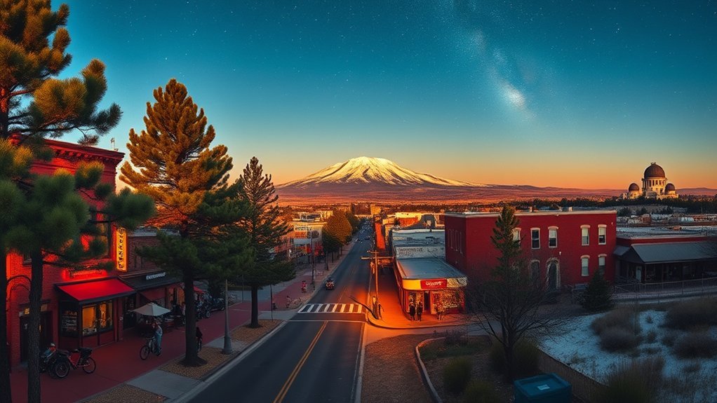
Flagstaff works best as a full-day trip that continues into the evening. The higher elevation gives you pine forest, mountain weather, downtown restaurants, and astronomy in one itinerary. Start with a forest walk, spend the middle of the day downtown, and save Lowell Observatory for late afternoon or evening if stargazing is a priority.
For a relatively short hike, Fatmans Loop Trail No. 25 is officially rated moderate. It includes forest scenery, volcanic rock formations, viewpoints, and a few steeper sections, so treat it as a real hike rather than an effortless city stroll.
Lava River Cave offers a completely different experience but requires more preparation. The underground environment remains roughly 35–45°F year-round, and winter road access can be affected by snow. If you choose the cave instead of a surface hike, bring warm layers, reliable lighting with backups, sturdy footwear, and check the Forest Service’s current Lava River Cave information before leaving.
After lunch or a walk around downtown Flagstaff and Heritage Square, head to Lowell Observatory. The observatory is the historic site associated with Pluto’s discovery and offers exhibits, guided experiences, and public telescope viewing.
Note: Lowell Observatory does not require reservations for general admission, although Premium Access does require a reservation. Telescope viewing typically begins around sunset and depends on conditions. Check current hours and ticket options before your drive rather than assuming a fixed dusk appointment.
Flagstaff can be dramatically colder than Tempe after sunset. Lowell specifically recommends layers and comfortable shoes because a visit involves moderate walking and some inclines. Check the mountain forecast before committing to an evening outside.
Jerome Historic Mining Town and Wine Tasting

Jerome combines mining history, steep hillside streets, Verde Valley views, galleries, food, and nearby wine tasting. It is a better choice for travelers who want a slower cultural day than a long hike. Begin with the historic district and museum before deciding whether to spend the afternoon in Jerome or descend into the Verde Valley for tasting rooms.
Jerome History Highlights
Start with Jerome State Historic Park for the clearest documented overview of the mining era. The Douglas Mansion was built in 1916 by James S. Douglas above the Little Daisy Mine. Today the building contains photographs, artifacts, minerals, exhibits, a video presentation, and a three-dimensional model showing Jerome and its underground mines.
Then walk the compact historic district at a comfortable pace. Jerome’s slopes can make a short distance feel longer than it looks on a map. Old commercial buildings, mine-related remains, museum displays, galleries, and viewpoints help explain the town’s cycles of mining growth, decline, preservation, and reinvention.
- Use museum exhibits and interpretive material for documented mining history rather than relying only on ghost stories.
- Photograph mining structures and ruins only from legal public areas and designated viewpoints.
- Pause at overlooks for broad views across the Verde Valley instead of rushing from shop to shop.
Verde Valley Wine Tours
If you want wine tasting, continue from Jerome into the Verde Valley and choose a small number of tasting rooms rather than trying to visit everything. The regional Verde Valley Wine Trail maintains a changing list of wineries and tasting rooms and specifically recommends calling the locations you intend to visit to confirm hours and make a reservation if necessary.
That is more reliable than assuming every tasting room requires an appointment or that a particular payment method will be accepted. Check each business directly for current hours, tasting policies, reservations, food availability, accessibility, and payment options.
If anyone in your group will be tasting alcohol, designate a sober driver before the first stop or arrange transportation that does not require the drinker to drive. A relaxed one- or two-stop tasting plan leaves enough time for Jerome’s history and scenery without turning the return to Tempe into a late, rushed drive.
Superstition Mountains and Lost Dutchman State Park

The Superstition Mountains provide the most rugged desert option in this guide. Lost Dutchman State Park is a practical starting point because it gives you signed trails, park information, desert plants, mountain views, and access toward the wider Superstition landscape.
Current access note, August 16, 2026: Lost Dutchman State Park currently lists fire restrictions through October 31, 2026. It also states that walk-in entry and hiker drop-off/pick-up are not permitted because of safety concerns. Recheck the official trail and alert information immediately before your trip.
Lost Dutchman Hikes
Choose your route by official difficulty rather than by how short it looks on a map. Desert exposure, loose terrain, climbing, and heat can turn a modest mileage number into a demanding hike.
- Native Plant Trail: Choose this accessible interpretive trail when you want a short look at native desert plants near the ranger-station area.
- Jacob’s Crosscut: The portion described by the park runs 0.8 mile along the mountain base and is rated easy.
- Treasure Loop: This is not flat. The park rates the 2.4-mile round trip moderate, with about 500 feet of elevation change.
- Siphon Draw: The park describes a 4-mile round trip into Siphon Draw. It is a substantial step up from the easy trails.
- Flatiron continuation: Continuing beyond Siphon Draw to Flatiron creates a roughly 5.8-mile round trip on a route that is not designated and maintained all the way. The park advises that only experienced, fit hikers attempt it, allows at least five hours, and does not recommend the route in hot weather.
Bring sturdy footwear, sun protection, a map, and abundant water. Arizona State Parks advises people using longer trails to carry a topographic map and recommends at least one gallon of drinking water per person per day. Turn around before you exhaust half your water or energy.
If you are interested in the Peralta area, treat it as a separate Superstition Wilderness/Tonto National Forest outing, not as a Lost Dutchman State Park trail. Check current Forest Service trail and road status before building it into your day.
Superstition History & Legends
The Superstitions are closely associated with stories of prospecting and the Lost Dutchman’s gold mine, but it is important to separate documented history from folklore. Arizona State Parks presents several versions of the legend involving prospectors, the Peralta story, and Jacob Waltz, the German-born miner whose name became attached to the Lost Dutchman tale.
Rather than treating every version as established fact, use the park’s interpretive material and local museum collections to see how real mining activity and later storytelling became intertwined. The legends are part of the area’s cultural history, but competing versions and embellishments accumulated over generations.
On the trail, stay on legal routes, leave mining features and archaeological material untouched, and do not search old workings or enter abandoned mines. Desert history is more useful when it deepens your understanding of the landscape instead of encouraging risky off-trail exploration.
Best Time for Day Trips from Tempe
Fall through spring usually gives you the widest choice of lower-desert activities at Saguaro Lake and Lost Dutchman, although individual cold fronts and storms still matter. In hot weather, early starts are essential and strenuous exposed hikes may be poor choices regardless of your fitness.
Summer makes Payson, the Mogollon Rim, and Flagstaff attractive because of their higher elevation, but cooler temperatures do not eliminate weather hazards. Northern Arizona’s monsoon season can bring lightning, heavy rainfall, and flash flooding, especially from mid-June into September.
Winter can reverse the equation: Tempe and lower-desert destinations may be comfortable while Flagstaff and Rim roads receive snow and ice. Check AZ511 and the relevant Forest Service page before driving north.
Sedona and Jerome can work in several seasons, but crowding, hot exposed trails, winter weather, wildfire impacts, and temporary closures can all change the best itinerary. Current conditions should decide your trail or activity, not a fixed month-by-month rule.
Frequently Asked Questions
Are pets allowed on these day-trip trails and sites?
Rules vary by destination. Lost Dutchman State Park allows well-mannered pets on a leash but restricts them from certain buildings. Jerome State Historic Park permits leashed pets outside but not in the museum. Lowell Observatory does not allow pets on campus, although service animals are welcome. Forest Service trail rules also vary, so check the exact site before bringing a dog.
What are the cell reception and emergency service options?
Do not depend on continuous cellular coverage in canyons, forests, or remote desert terrain. Carry a charged phone and portable battery, save maps offline, tell someone your route when hiking, and consider a satellite communicator if your plans take you well beyond developed areas. In an emergency, call 911 when a signal is available.
Are guided tours available at these destinations?
Yes, but availability changes. Lowell Observatory includes guided experiences with general admission, Saguaro Lake has commercial narrated cruises, Arizona State Parks schedules ranger and interpretive programs, and Sedona and the Verde Valley have private tour operators. Check the official destination calendar or provider before relying on a particular departure time.
Which locations are wheelchair or stroller accessible?
Accessibility varies sharply. Lost Dutchman identifies its Native Plant Trail as accessible, and Saguaro del Norte has wheelchair-accessible picnic units. Jerome State Historic Park lists accessible restroom facilities, but Jerome’s steep town streets can still be challenging. Natural-surface hikes in Sedona and the Rim should not be assumed accessible. Lowell involves moderate walking and inclines, so review its current accessibility information for your group’s needs before traveling.
What should I pack for changing desert and mountain weather?
Carry drinking water, sun protection, sunglasses, a hat, snacks, sturdy footwear, a basic first-aid kit, offline maps, a portable charger, and layers. Add a rain shell during storm season. For Flagstaff or the Mogollon Rim, pack warmer clothing even when Tempe is hot. For Lava River Cave, bring warm layers and dependable backup lighting.
Which day trip from Tempe is best during summer?
Payson, the Mogollon Rim, and Flagstaff are often better starting points for a summer plan because of their higher elevations, but thunderstorms and flash flooding remain important hazards. If you choose Saguaro Lake, Sedona, or Lost Dutchman during hot weather, schedule outdoor activity very early and change plans when heat warnings or park guidance make the outing unsafe.
Which options work best for a shorter day?
Saguaro Lake and Lost Dutchman State Park are the most practical choices when you do not want a long northern Arizona drive. Sedona, Flagstaff, Jerome, and a full Payson-plus-Mogollon-Rim itinerary are better treated as full-day outings with extra time for traffic and stops.
Can I combine Sedona and Jerome in one day from Tempe?
You can physically combine them, but doing so leaves less time for hiking, museums, meals, parking delays, and tasting-room stops. For a more relaxed day, choose Sedona for trails and red-rock scenery or Jerome and the Verde Valley for history and wine rather than trying to cover both thoroughly.
Conclusion
You do not need to choose the farthest destination to get a worthwhile day trip from Tempe. Pick Saguaro Lake or Lost Dutchman for a shorter desert outing, Sedona for red-rock scenery, Payson and the Mogollon Rim for pines and overlooks, Flagstaff for forest trails plus an evening at Lowell Observatory, or Jerome for mining history and Verde Valley tasting rooms. Whatever you choose, check current road, weather, park, and forest conditions before leaving, pack for the destination’s elevation, and give one main activity enough time to enjoy it safely.
Sources
- Coconino National Forest — Sedona and Flagstaff trail information, recreation access, and forest conditions.
- Apache-Sitgreaves National Forests — Mogollon Rim Visitor Center — Rim location and visitor-planning information.
- Tonto National Forest — Saguaro Lake — lake recreation areas, motorized-watercraft restrictions, and site information.
- Arizona Game and Fish Department — Boating Education — life-jacket and boating-safety requirements.
- Arizona State Parks — Lost Dutchman Trails and Jerome State Historic Park — official trail ratings, current park notices, and Jerome mining-history information.
- Lowell Observatory — Plan Your Visit — admission, telescope-viewing, weather, pet, and visitor guidance.