Antelope Canyon draws huge crowds, but the best hikes near Page go far beyond one famous slot canyon. You can choose easy overlooks, guided Navajo slot canyons, scenic desert loops, or remote backcountry routes that demand strong navigation skills. Use this guide to match each hike with your time, fitness level, permit needs, and preferred light.
What’s in This Article
- Horseshoe Bend Trail: Sunset Views and Easy Access
- The Wave Trail: Permit-Required Desert Adventure
- Reflection Canyon: Long Hike With Epic Vistas
- Lower Antelope Canyon: Slot Canyon Photography Hotspot
- Canyon X: Quieter Slot Canyon Alternative
- Secret Antelope Canyon: Off-the-Beaten-Path Beauty
- Broken Bow Arch via Willow Gulch: Remote Arch Reward
- Page Rim Trail: Scenic Loop Around Page
- Hanging Garden and Waterhole Canyon Trails: Short Lakeside Walks
- Frequently Asked Questions
Quick Answer
The best easy hike near Antelope Canyon is Horseshoe Bend, while Lower Antelope Canyon and Canyon X work best for guided slot canyon photos. Choose Page Rim Trail or Hanging Garden for simple local walks. Pick The Wave, Reflection Canyon, or Broken Bow Arch only if you can handle remote desert travel.
Key Takeaways
- Book Navajo-guided slot canyon tours in advance, especially for Lower Antelope Canyon, Canyon X, and Secret Antelope Canyon.
- Choose Horseshoe Bend, Hanging Garden, or Page Rim Trail if you want easier walks near Page.
- Carry more water than you think you need because desert heat can build fast.
- Use offline maps for remote routes, since cell service can drop outside Page.
- Check permit rules, road conditions, and flash flood risk before any backcountry hike.
Horseshoe Bend Trail: Sunset Views and Easy Access
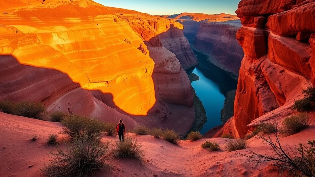
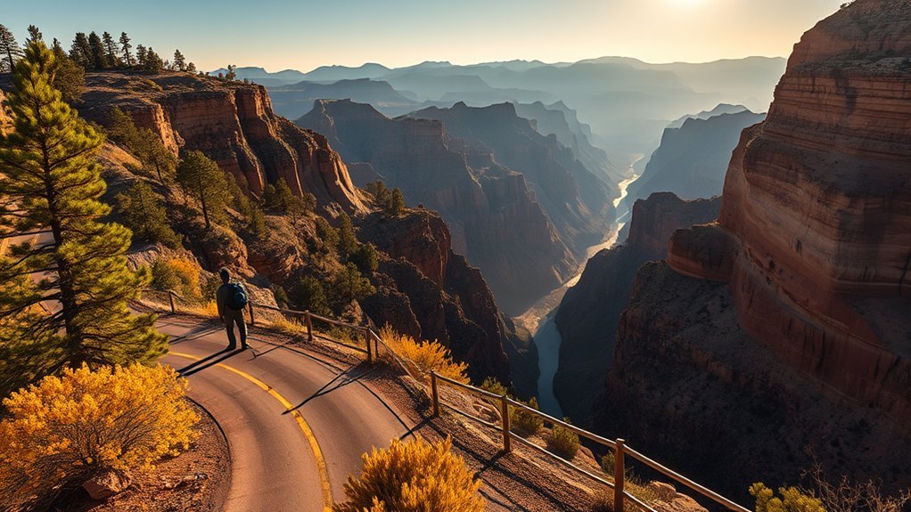
If you time it right, the easy 1.5-mile out-and-back walk to Horseshoe Bend rewards you with sweeping, golden-lit views. The overlook frames the Colorado River as it curves around a massive sandstone bend.
The trail works well for many families because the path stays short and simple. An accessible route leads toward the viewing area, though heat and crowds can still make the walk tiring.
Aim for early morning or late afternoon if you want softer light and cooler air. Sunset gives the sandstone richer color, but it also brings more people.
Expect a local parking fee at the trailhead. Carry water, sunscreen, and a camera so you can enjoy the view without rushing.
The Wave Trail: Permit-Required Desert Adventure
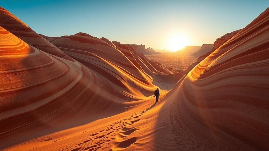
You’ll need a permit and strong planning skills before you step onto The Wave’s rippled sandstone. This remote Coyote Buttes North route sits in a harsh desert area with little shade.
Bring offline maps, a compass, and confidence with route-finding. The route has few clear markers, and cell service can fail fast.
Start early, carry plenty of water, and avoid hiking during extreme heat. Morning and late afternoon light often create the best texture for photos.
Permit Application Process
Access to The Wave stays tightly limited to protect the fragile landscape. The Bureau of Land Management uses advance and daily lottery systems for Coyote Buttes North permits.
The number of permits can vary by group limits and management rules, so check the official permit page before you apply. You can usually try the advance lottery months ahead or the daily lottery shortly before your hike.
You’ll submit your name, date choice, and group size through the permit system. Application and permit fees can change, so confirm the current amount before payment.
- Enter accurate names and group size.
- Choose backup dates for more flexibility.
- Pay all required fees on time.
- Carry your permit and identification during the hike.
Trail Navigation Tips
Plan your route as if navigation forms part of the hike. The slickrock landscape can make informal paths hard to follow.
Download reliable offline maps, carry a compass or GPS device, and know how to use them. Don’t depend on cell service once you leave the trailhead.
The road to the trailhead may require a high-clearance vehicle, especially after rough weather. Check road conditions before you drive, or arrange a shuttle with a local operator.
Guided Navajo slot canyon tours near Page don’t prepare you for this backcountry route. The Wave needs stronger desert judgment, better navigation, and more self-reliance.
Safety and Preparation
Treat safety and preparation as part of the permit process. Secure your permit first, then plan water, sun protection, footwear, and navigation.
Respect daylight and your own limits. Don’t push deeper into the desert if heat, fatigue, or poor navigation starts to build.
Warning: Flash floods and extreme heat can make desert hikes dangerous, so check conditions before you leave Page.
- Pack plenty of water, electrolytes, and salty snacks.
- Wear a sun hat, sunscreen, layers, and sturdy boots.
- Download offline maps and test your GPS route first.
- Be honest about your fitness before choosing this route.
Reflection Canyon: Long Hike With Epic Vistas
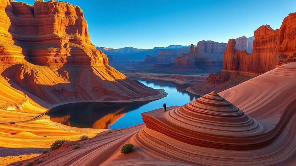
Reflection Canyon is a remote Lake Powell overlook for strong hikers with solid navigation skills. The route can take about 15 to 20 miles round trip, depending on your start point and route choice.
You’ll cross open desert terrain with little shade, few markers, and limited services. Leave this hike for confident adults who can manage long miles and rough footing.
Bring plenty of water, offline maps, and enough time for slow travel. Sunrise and sunset can create dramatic light, but darkness makes navigation harder.
Trail Length & Difficulty
Reflection Canyon demands stamina, planning, and careful route-finding. Many hikers treat it as a long day hike or overnight backcountry trip.
The exact distance can vary because hikers use different routes and starting points. Plan for a long, strenuous route rather than a short scenic walk.
- Bring enough water and food for the full route.
- Download offline maps before leaving Page.
- Wear sturdy boots for uneven rock and sand.
- Build in extra time for slow sections and route checks.
You’ll trade ease for stunning views, so respect the route and your limits.
Vistas & Viewpoints
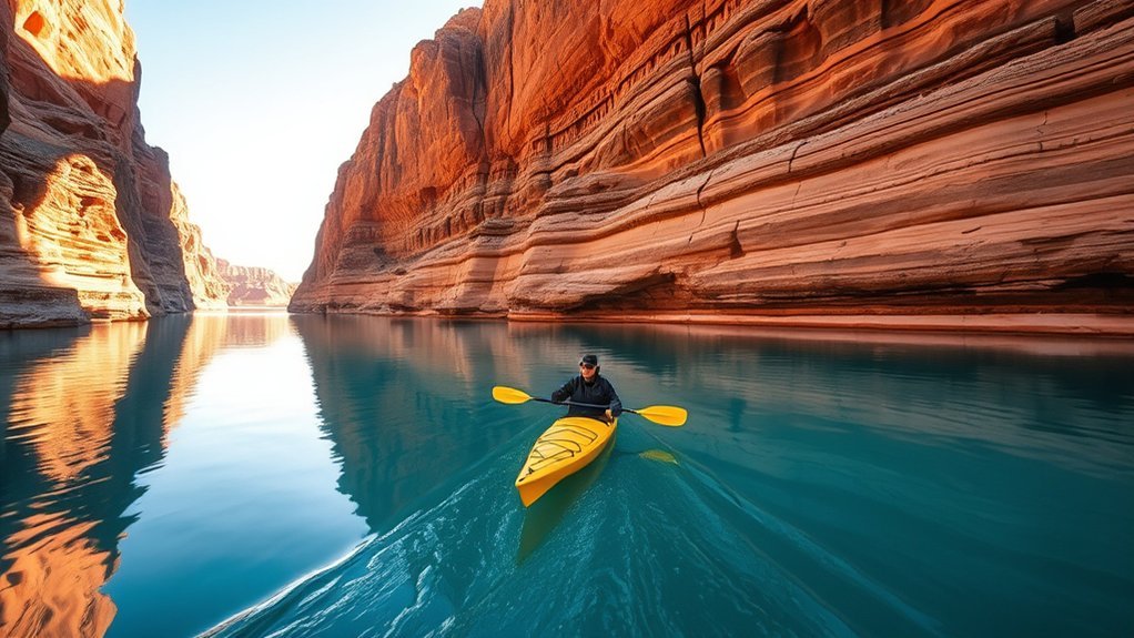
The reward comes from jaw-dropping overlooks above sculpted buttes, sandstone walls, and blue Lake Powell water. Each viewpoint frames the canyon in a different way.
Some overlooks look straight into narrow water-filled arms. Others frame wider canyon walls and distant desert plateaus.
Move carefully near edges because loose rock and slick sandstone can break your footing. Pause often, enjoy the view, and keep enough energy for the return.
Lower Antelope Canyon: Slot Canyon Photography Hotspot
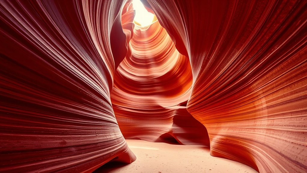
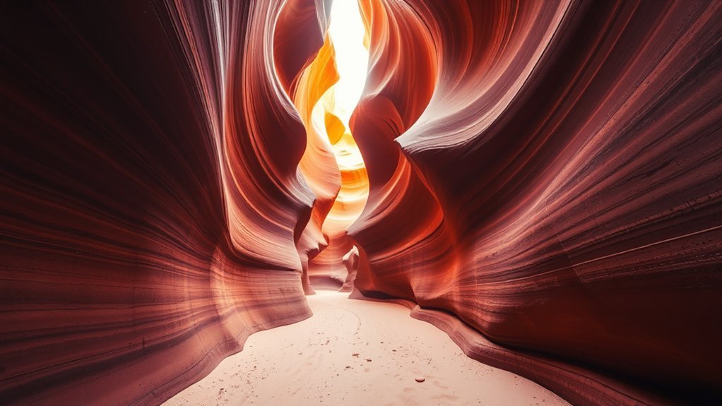
Lower Antelope Canyon, often linked with the “Corkscrew” nickname, packs narrow chambers and rich sandstone color into a short guided route. Photographers like its twisting shapes, stairs, and shifting light.
You’ll follow a short approach, then descend stairs into the canyon. Expect more steps and tighter passages than you’ll find in Upper Antelope Canyon.
Tour length, permit fees, and rules can change by operator and Navajo Nation policy. Book with an authorized tour company and confirm the current cost before you go.
- Bring a fast lens and use a steady hand.
- Reserve in advance because spaces can fill quickly.
- Watch changing shadows during brighter hours.
- Wear grippy shoes for stairs and sandy footing.
Canyon X: Quieter Slot Canyon Alternative
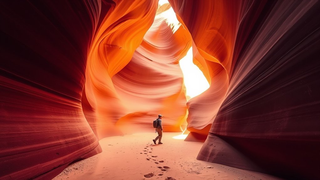
If Lower Antelope Canyon feels too busy, Canyon X offers a quieter guided slot canyon experience. You’ll still see curved sandstone walls, narrow passages, and strong light contrast.
Guided tours usually visit more than one canyon section and include a short walk from the staging area. The pace often feels calmer than the most popular Antelope Canyon tours.
Photographers will appreciate the softer crowd level and more time to study shapes. Confirm current tour length, group size, and camera rules before you book.
Pro tip: Book your slot canyon tour around your photo goals, not just the cheapest available time.
Secret Antelope Canyon: Off-the-Beaten-Path Beauty
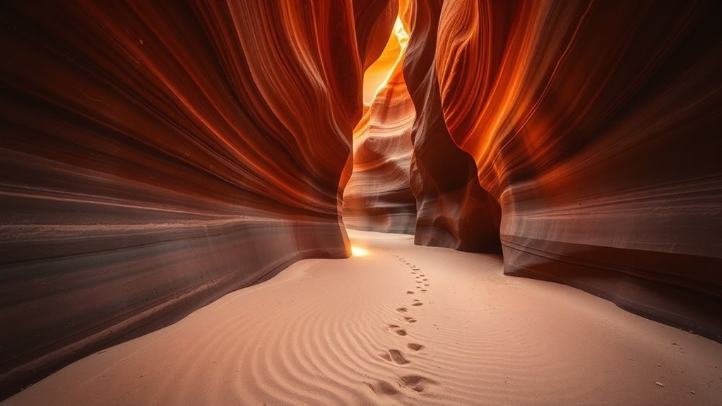
Secret Antelope Canyon gives you a quieter guided slot canyon option near Page. The sandstone narrows, warm colors, and smooth curves feel similar to better-known canyon sections.
The terrain often feels easier than Lower Antelope Canyon because you avoid long ladders and steep drops. A guided outing may also include a Horseshoe Bend viewpoint, depending on the tour package.
A Navajo guide can point out shapes, stories, and safe places to pause. Book ahead, confirm the route details, and check current tour timing before you arrive.
- Enjoy fewer crowds for cleaner photos.
- Choose flatter terrain for an easier pace.
- Listen for cultural insight from your guide.
- Confirm whether Horseshoe Bend appears in your tour.
Broken Bow Arch via Willow Gulch: Remote Arch Reward
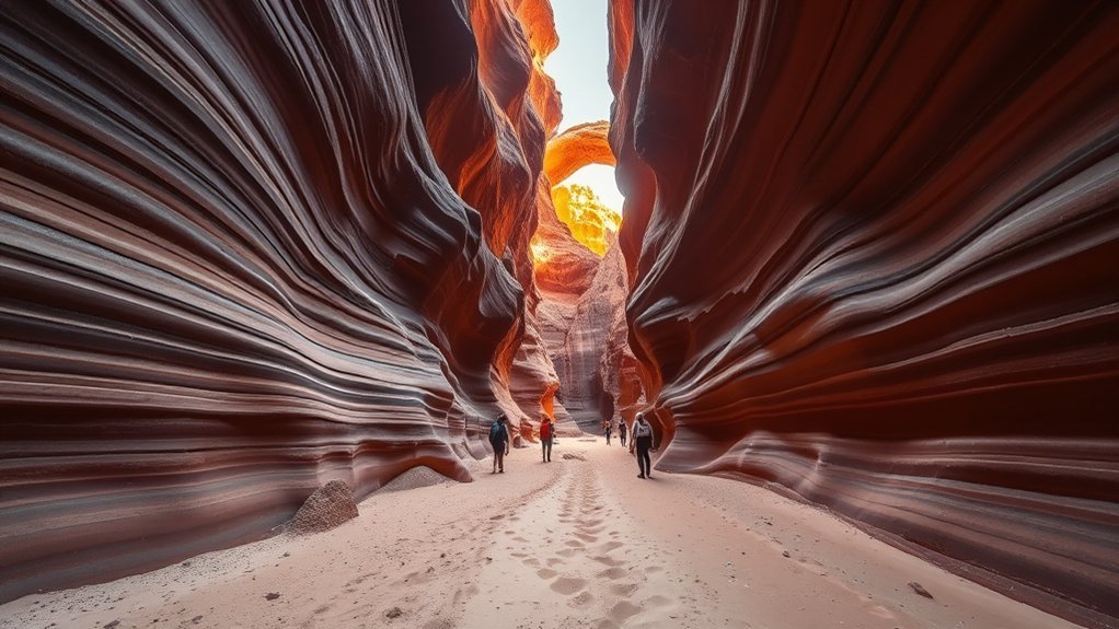
Broken Bow Arch via Willow Gulch gives prepared hikers a remote stone arch and real solitude. The route can involve sand, slickrock, brush, and route-finding through desert drainages.
You’ll need strong navigation skills, water, sun protection, and weather awareness. Flash floods can change gullies quickly, so don’t enter narrow washes during storm risk.
The arch appears as a dramatic stone span after steady effort. Take photos, keep distance from fragile rock, and leave no trace behind.
| Challenge | Best Tip |
|---|---|
| Strenuous terrain | Bring extra water |
| Remote route | Use offline maps |
| Flash flood risk | Check weather first |
Page Rim Trail: Scenic Loop Around Page
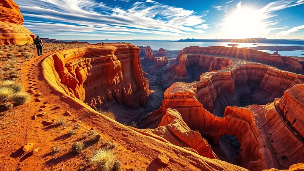
The Page Rim Trail gives you a flexible way to see desert views without leaving town far behind. The loop runs around Page and works for walkers, runners, and cyclists.
You can start from several access points, including areas near North Lake Powell Boulevard and the Page Library. This makes it easy to hike a short segment instead of the full loop.
The northern side near Potato Hill offers sandstone views, open desert, and glimpses toward Lake Powell. Watch for ravens, lizards, and the occasional mule deer as you move.
- Use multiple access points for flexible starts.
- Look for Lake Powell views near Potato Hill.
- Follow clear signs where the route crosses town.
- Bring water even for shorter sections.
Hanging Garden and Waterhole Canyon Trails: Short Lakeside Walks
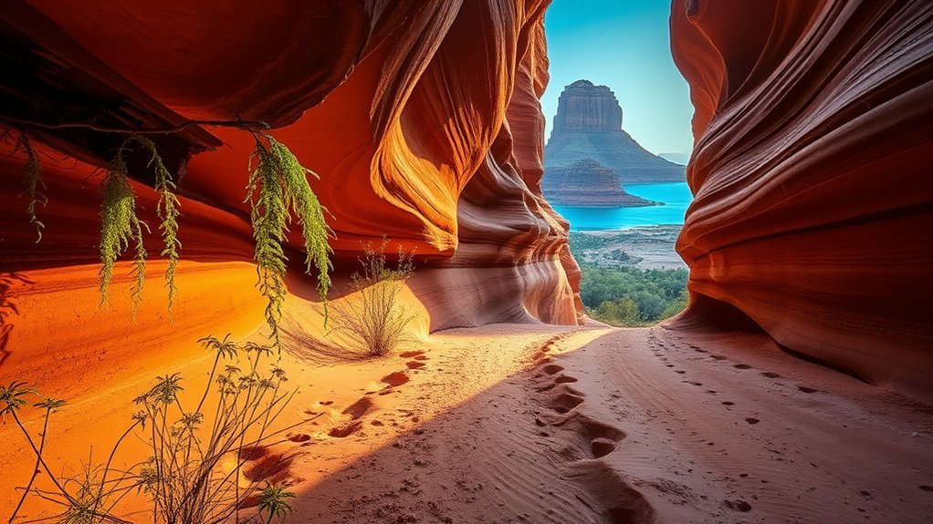
After Page Rim Trail, you can slow down with two shorter walks near Page. Hanging Garden Trail and Waterhole Canyon Trail both suit hikers who want easier scenery.
The Hanging Garden Trail runs about 1.2 miles round trip and leads to a small desert seep with plants tucked into the sandstone. It’s short, scenic, and easy to fit into a half-day plan.
Waterhole Canyon access and rules can change because parts of the canyon sit on Navajo land. Confirm current access, guide needs, and dog rules before you go.
| Trail | Highlights |
|---|---|
| Hanging Garden Trail | Short walk, desert plants |
| Waterhole Canyon Trail | Slot canyon scenery, access rules vary |
| Both | Scenic views, easier pace |
Best Time to Hike Near Antelope Canyon
Spring and fall usually bring the most comfortable hiking weather near Page. Summer heat can feel intense, especially on exposed routes like The Wave and Reflection Canyon.
For slot canyons, midday light can create brighter walls and stronger contrast. For open overlooks, sunrise and sunset often give you cooler air and softer color.
Avoid narrow canyons when storms threaten the area. Flash flood risk matters even when rain falls far from your exact trailhead.
What to Pack for Antelope Canyon Area Hikes
Your packing list should match the route, heat, and access rules. Guided slot canyons need less gear, while remote hikes need full desert preparation.
- Carry water, electrolytes, and snacks for exposed routes.
- Wear sun protection, including a hat, sunglasses, and sunscreen.
- Bring offline maps, a power bank, and a basic first aid kit.
- Use sturdy shoes with grip for stairs, sand, and slickrock.
- Pack layers if you’ll start early or finish after sunset.
Check tour rules before bringing tripods, bags, drones, or hiking poles. Some guided canyon operators restrict gear to protect visitors and the canyon.
Frequently Asked Questions
Which Part of Antelope Canyon Is Best?
Upper Antelope Canyon often works best for classic light beam photos, while Lower Antelope Canyon gives you a more active route with stairs and tighter shapes. Canyon X and Secret Antelope Canyon can suit you better if you want fewer crowds.
Is Horseshoe Bend an Easy Hike?
Yes, Horseshoe Bend is an easy hike for many visitors. The trail is short, but heat, sun, and crowds can still make it feel harder than expected.
Where Can You Hike Near Antelope Canyon Without a Guided Tour?
You can hike Horseshoe Bend, Page Rim Trail, and Hanging Garden Trail without joining an Antelope Canyon slot canyon tour. Check land rules before Waterhole Canyon, The Wave, Reflection Canyon, or other remote routes.
Do You Need a Permit for Antelope Canyon Hikes?
You need an authorized guided tour for Antelope Canyon sections on Navajo land. You also need a permit for The Wave, while Horseshoe Bend usually only requires parking payment.
What Is the Best Time of Day for Antelope Canyon Photos?
Midday often works well inside slot canyons because overhead light can brighten the walls. Sunrise and sunset usually work better for open overlooks like Horseshoe Bend and Page Rim Trail.
Conclusion
The best hike near Antelope Canyon depends on your time, fitness, permit luck, and comfort with desert terrain. Choose Horseshoe Bend, Hanging Garden, or Page Rim Trail for easy views, and save remote routes for strong planning days.
Book guided canyon tours early, check permit rules, and carry enough water for the route you choose. With the right plan, Page gives you far more than one famous canyon.
References
- Hanging Garden Trail — National Park Service
- Coyote Buttes North Permit Information — Bureau of Land Management
- Official Horseshoe Bend Information — City of Page