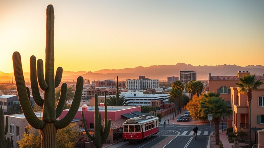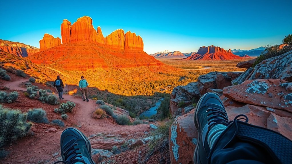
From towering red-rock spires in Sedona and profound mile-deep descents in the Grand Canyon to the alpine tundra of the San Francisco Peaks, Arizona harbors some of the most ecologically diverse hiking terrain in North America. Whether you are hunting for steep summit scrambles, lush riparian corridors, or remote waterfall plunge pools, selecting the right route requires precise logistical planning, seasonal timing, and trail knowledge.
Quick Answer
The best hikes in Arizona span iconic rim-to-river routes like the Bright Angel Trail in the Grand Canyon, steep red-rock scrambles like Cathedral Rock and Devil’s Bridge in Sedona, high-altitude alpine ascents up Humphreys Peak in Flagstaff, and lush desert oases like Seven Falls in Tucson and West Fork Trail in Oak Creek Canyon.
Key Takeaways
- Permits & Passes: Popular routes like Havasu Falls, Fossil Creek (April–October), and backcountry Grand Canyon camping require advance permits, while Sedona trailheads require a Red Rock Pass or America the Beautiful Interagency Pass.
- Seasonal Hydration: Carry at least 1 liter of water per hour of hiking during warm seasons; always pair high water intake with salty snacks or electrolyte supplements to prevent hyponatremia.
- Weather Hazards: Beware of extreme summer heat in Phoenix and Tucson lowlands (>100°F/38°C), rapid winter weather swings on northern peaks, and monsoon flash flood risks in slot canyons from July through September.
Warning: Desert heat can turn fatal quickly. During summer months, trailheads at Phoenix city parks (including Camelback Mountain) close automatically to hikers during National Weather Service Extreme Heat Warnings. Never hike desert routes during midday summer heat, and always turn back before consuming half your water supply.
1. Camelback Mountain — Echo Canyon Trail (Phoenix)
Rising prominently above the Phoenix metropolitan skyline, Echo Canyon Trail on Camelback Mountain is one of the state’s most intense urban summit hikes. This route wastes no time gaining elevation, transitioning rapidly from steep railroad-tie stairs to heavy boulder scrambling aided by metal handrails. The summit provides an uninterrupted 360-degree panorama of the entire Valley of the Sun.
- Distance: 2.5 miles round-trip
- Elevation Gain: 1,424 feet
- Difficulty: Strenuous / Technical scramble
- Best Season: October through April
- Trailhead Logistics: Gated parking lot on East McDonald Drive; fills rapidly before sunrise.
Pro Tip: Wear footwear with sticky rubber outsoles. The polished granite and sandstone slabs near the upper saddle can become exceptionally slick under dusty hiking boots.
2. Bright Angel Trail, Grand Canyon National Park
The premier corridor trail in Grand Canyon National Park, the Bright Angel Trail follows a natural fault line through millions of years of layered geological history. Built with manageable switchbacks, stone staircases, and seasonal drinking water stations, it offers day hikers modular turnaround points at 1.5-Mile Resthouse, 3-Mile Resthouse, and Indian Garden (Havasupai Gardens) before plunging to the Colorado River.
- Distance: Up to 15.6 miles round-trip (to Phantom Ranch / River); customizable for day hikes
- Elevation Gain: 4,380 feet descent and ascent
- Difficulty: Strenuous endurance
- Best Season: Year-round (microspikes recommended for upper rim ice December–March)
- Permits: Day hiking requires no permit; overnight backcountry camping requires an NPS Backcountry Permit.
3. Cathedral Rock Trail, Sedona
Cathedral Rock is Sedona’s most famous red-rock landmark and vortex site. Short in mileage but demanding in effort, the trail climbs directly up the western cleft of the formation over sandstone terraces and steep slickrock gullies.
Trail Overview
The route begins in a sandy wash before transitioning to tiered stone steps. You will encounter a steep, narrow chimney crack midway up that requires three points of contact. The trail terminates at a broad saddle between the rock’s towering spires, overlooking Oak Creek Valley and Verde Valley.
- Distance: 1.2 miles round-trip
- Elevation Gain: 740 feet
- Difficulty: Moderate to Strenuous scramble
- Pass Required: Sedona Red Rock Pass or America the Beautiful Interagency Pass.
Climbing & Scrambling Tips
Keep your center of gravity low when ascending and descending the central slickrock fissure. Free your hands by stowing trekking poles inside your pack before reaching the scramble section. During peak season (Thursday through Sunday), access to the trailhead lot is restricted, requiring visitors to take the free Sedona Shuttle from the North SR-179 Park and Ride.
4. West Fork Trail, Oak Creek Canyon (Sedona)
Carved deep into the Colorado Plateau, the West Fork Trail in the Coconino National Forest is an enchanting riparian canyon hike framed by 200-foot sheer sandstone cliffs. Featuring more than a dozen shallow stream crossings on stepping stones, this trail provides cool shade beneath towering box elders, bigtooth maples, and Douglas firs.
- Distance: 6.5 to 7.2 miles round-trip
- Elevation Gain: ~300 feet (very gentle grade)
- Difficulty: Easy to Moderate
- Best Season: May through October (spectacular fall foliage in mid-to-late October)
- Fee: $12 per vehicle day-use fee at the Call of the Canyon Recreation Area.
5. Humphreys Peak Trail, Kachina Peaks Wilderness (Flagstaff)
Climbing to the highest natural point in Arizona at 12,633 feet, Humphreys Peak Trail takes hikers out of the ponderosa pine forests, through dense subalpine fir, and onto the state’s only alpine tundra ecosystem. The trail features rocky switchbacks, a steep false-summit ridge, and panoramic views stretching to the Grand Canyon’s North Rim.
- Distance: 10.7 miles round-trip
- Elevation Gain: 3,398 feet
- Difficulty: Strenuous (high altitude)
- Best Season: Late June through October
- Trailhead: Arizona Snowbowl lower parking lot.
Warning: Summer afternoon monsoons bring lethal lightning strikes to the exposed summit ridge above the tree line. Start your ascent by 6:00 a.m. and plan to be below the treeline (11,400 feet) by noon if storm clouds build.
6. Devil’s Bridge Trail, Sedona
Leading to the largest natural sandstone arch in the Sedona area, Devil’s Bridge Trail is an essential Red Rock Country excursion. The geological span stands roughly 54 feet high, allowing hikers to walk across a 5-foot-wide natural stone bridge with sweeping views of the Red Rock–Secret Mountain Wilderness.
Trail Overview
Starting from the paved Mescal Trailhead or Dry Creek Road, the path winds gently through pinyon-juniper woodland before reaching a steep stone staircase that climbs the canyon wall to the arch’s base and viewing shelf.
- Distance: 4.0 miles round-trip (via Mescal Trailhead) or 2.0 miles round-trip (from Dry Creek 4×4 lot)
- Elevation Gain: 400 feet
- Difficulty: Moderate
- Best Season: September through May
Safety and Logistics
Lines to walk out on the arch for photographs often exceed 45–60 minutes during peak midday hours. Arrive at first light to beat both the heat and the crowds. Exercise extreme caution near the sheer cliff drop-offs, especially when walking on the bridge deck in windy conditions.
7. Havasu Falls Trail, Havasupai Indian Reservation
Located in a remote side canyon off the Grand Canyon, the trek to Havasu Falls is world-famous for its mineral-rich, vibrant turquoise pools and travertine waterfalls cascading over red Supai sandstone cliffs. This multi-day backcountry trek descends from Hualapai Hilltop through narrow canyon walls to the village of Supai and the adjacent campground.
| Trail Metric | Route Specification |
|---|---|
| Distance | 10 miles one-way (20 miles round-trip to campground) |
| Elevation Change | 2,400-foot descent / ascent (strenuous switchbacks at hilltop) |
| Permits | Mandatory pre-paid reservation (3-night minimum) via the official Havasupai reservation portal |
| Difficulty | Strenuous endurance |
8. Upper Antelope Canyon, Page
Known in Navajo as Tsé bighánílíní (“the place where water runs through rocks”), Upper Antelope Canyon is an internationally renowned slot canyon sculpted by flash floods through Navajo sandstone. During late spring and summer mid-day hours, sunbeams pierce the narrow openings above, casting vivid shafts of light down onto the canyon floor.
- Distance: ~0.5 miles of guided walking
- Elevation Gain: Flat / Sandy wash
- Difficulty: Easy
- Access Requirement: Entry is permitted solely via licensed Navajo-guided tour operations.
Note on Photography Regulations: Tripods, monopods, selfie sticks, and backpacks are strictly prohibited on all standard public tours inside Antelope Canyon to ensure guest safety and fluid movement through the slot.
9. Superstition Mountains — Peralta Trail to Fremont Saddle (Gold Canyon)
Located east of the Phoenix valley in the rugged Superstition Wilderness, the Peralta Trail ascends a rocky, boulder-choked canyon populated by towering saguaro cacti, teddy-bear cholla, and weathered volcanic formations. The hike tops out at Fremont Saddle, delivering a sudden, dramatic view of Weavers Needle—a monolithic 1,000-foot volcanic spire.
- Distance: 4.9 miles round-trip
- Elevation Gain: 1,340 feet
- Difficulty: Moderate to Strenuous
- Best Season: November through April
- Trailhead: Peralta Trailhead at the end of Peralta Road (unpaved but maintained gravel).
10. Boynton Canyon Trail & The Subway Cave, Sedona
Boxed in by dramatic red-rock canyon walls, Boynton Canyon Trail showcases a unique microclimate where arid desert floor transitions into a lush oak and pine woodland. Along the canyon route, an unofficial spur trail leads up to the famous “Subway Cave,” a keyhole-shaped natural slot canyon formation with ancient Sinagua cliff dwellings nearby.
- Distance: 6.1 miles round-trip (approx. 7.0 miles including the Subway Cave spur)
- Elevation Gain: ~800 feet
- Difficulty: Moderate
- Trailhead: Boynton Canyon Trailhead off Boynton Pass Road (Sedona Shuttle access available).
11. Fossil Creek: Waterfall & Bob Bear Trail (Strawberry / Camp Verde)
Fossil Creek produces over 20,000 gallons per minute of crystal-clear, mineral-saturated spring water that stays at 70°F year-round. Rich in calcium carbonate, the creek deposits thick travertine layers that form natural dams, deep swimming holes, and emerald plunge pools.
Waterfalls and Emerald Pools
The primary attraction is the Fossil Creek Waterfall, where visitors can swim beneath travertine ledges. Downstream sections offer quiet pebble beaches and deep pools flanked by sycamores and canyon grapevines.
Permits & Trailhead Access
Access requires an advance parking permit purchased through Recreation.gov between April 1 and October 1. No permits are sold on-site.
- Fossil Creek Waterfall Trail (from Camp Verde side): ~1.0 mile round-trip, Easy.
- Bob Bear Trail (former Fossil Springs Trail, from Strawberry): 8.5 miles round-trip with 1,500 feet of unshaded, steep elevation gain. Strenuous.
Season, Hydration, and Flash Flood Safety
Because the canyon walls retain extreme heat, hikers attempting the Bob Bear route from Strawberry must carry a minimum of 4 liters of water per person. Summer monsoon storms can trigger dangerous flash floods; exit the water immediately if the creek turns brown or begins carrying debris.
12. Wind Cave Trail, Usery Mountain Regional Park (Mesa)
Perched along the southern flanks of Pass Mountain in Mesa, the Wind Cave Trail provides an accessible Sonoran Desert ascent through towering saguaro forests and granite boulder fields. The trail terminates at a natural wind-eroded alcove 800 feet up the cliffside, offering expansive vistas across the East Valley toward the Salt River and Red Mountain.
- Distance: 3.2 miles round-trip
- Elevation Gain: 810 feet
- Difficulty: Moderate
- Best Season: October through April
- Fee: $7 per vehicle county park entry fee.
13. Mount Lemmon — Aspen Loop Trail (Tucson)
Rising high above the desert floor in the Santa Catalina Mountains, Mount Lemmon serves as a cool “Sky Island” retreat for southern Arizona. The Aspen Loop Trail winds through quaking aspen groves, ponderosa pine, and Douglas fir, providing sweeping overlooks of the Oro Valley and San Pedro River Basin.
- Distance: 3.7-mile loop
- Elevation Gain: 950 feet
- Difficulty: Moderate
- Best Season: May through October (prime fall foliage in October)
- Trailhead: Marshall Gulch Picnic Area (Coronado National Forest pass required).
14. White House Ruin Trail, Canyon de Chelly National Monument (Chinle)
Canyon de Chelly preserves ancestral Puebloan architectural history spanning thousands of years. The White House Ruin Trail is the only unguided public trail descending from the rim to the canyon floor, leading past vertical sheer red walls to an ancient multi-story cliff dwelling constructed in an alcove over 1,000 years ago.
- Distance: 2.5 miles round-trip
- Elevation Gain: 550 feet descent and ascent
- Difficulty: Moderate
- Cultural Protocol: Stay strictly on the trail, do not touch rock art or historic masonry, and respect Navajo residents living and farming within the canyon floor.
15. Seven Falls via Bear Canyon Trail, Sabino Canyon (Tucson)
Located in the Sabino Canyon Recreation Area in the Santa Catalina foothills, this desert hike follows Bear Creek upstream through a rugged canyon to a dramatic tiered waterfall that cascades through seven distinct granite pools after winter rains and summer monsoons.
- Distance: 8.2 miles round-trip from the Visitor Center (or 4.6 miles round-trip using the Bear Canyon Shuttle)
- Elevation Gain: ~1,000 feet
- Difficulty: Moderate
- Best Season: November through April (or during active stream flow)
- Fee: $8 Sabino Canyon day pass or standard interagency federal pass.
“The trail crosses Bear Creek seven times each way. In wet months, prepare to cross knee-deep flowing water on slick stepping stones.”
Frequently Asked Questions
Are permits or reservations required for backcountry camping in Arizona?
Yes. Popular locations such as Grand Canyon National Park require an NPS Backcountry Permit, Havasupai requires pre-booked tribal permits, and wilderness areas like Fossil Creek require seasonal parking reservations via Recreation.gov. Dispersed camping on designated USFS or BLM public land generally does not require permits but mandates strict adherence to Leave No Trace principles.
Which Arizona hiking trails are dog-friendly and what are the leash laws?
Most U.S. Forest Service trails (including Sedona hikes, West Fork, and Mount Lemmon) welcome dogs on a standard 6-foot physical leash. However, dogs are strictly prohibited on inner canyon trails at the Grand Canyon, Havasu Falls, Sabino Canyon, and on Phoenix municipal summit routes like Camelback Mountain (due to steep rock surfaces and severe heat risks).
What public transit and trailhead shuttle options are available?
Sedona runs the free Sedona Shuttle connecting park-and-ride lots to congested trailheads like Cathedral Rock, Soldier Pass, and Dry Creek. Grand Canyon National Park operates free year-round shuttle buses connecting Grand Canyon Village to the South Kaibab and Bright Angel trailheads. Sabino Canyon provides an optional motorized tram shuttle service to shorten the Seven Falls hike.
Where can I refill water or find potable sources along these hiking routes?
Do not rely on natural desert streams for untreated drinking water. Potable water filling stations are available at major developed trailheads (Grand Canyon South Rim, Sabino Canyon Visitor Center, Phoenix City Parks). Along inner canyon routes like Bright Angel Trail, seasonal water is available at 1.5-Mile, 3-Mile, and Havasupai Gardens, but pipeline breaks can occur; always pack a backup water filter or purification tablets.
What seasonal hazards should hikers monitor in Arizona?
Primary hazards include extreme desert heat and dehydration from May to September, monsoon lightning storms and rapid slot canyon flash floods from July through September, and winter snow and ice on high-elevation northern routes like Humphreys Peak and the Grand Canyon rim.
Conclusion
From the exposed granite switchbacks of Camelback Mountain to the shaded sandstone narrows of Oak Creek Canyon, Arizona provides an unparalleled spectrum of hiking adventures. Choosing the right route comes down to understanding elevation profiles, respecting seasonal temperature swings, and carrying adequate hydration. Pack proper traction, secure your permits early, and explore Arizona’s extraordinary backcountry responsibly.
Sources
- National Park Service — Grand Canyon National Park — Corridor trail conditions, safety alerts, and backcountry regulations.
- U.S. Forest Service — Coconino National Forest — Sedona and Flagstaff trail access, Red Rock Pass guidelines, and wilderness restrictions.
- Navajo Nation Parks and Recreation — Tribal park permits, Antelope Canyon regulations, and guided access policies.
- U.S. Forest Service — Coronado National Forest — Sabino Canyon and Mount Lemmon recreational access and seasonal water data.