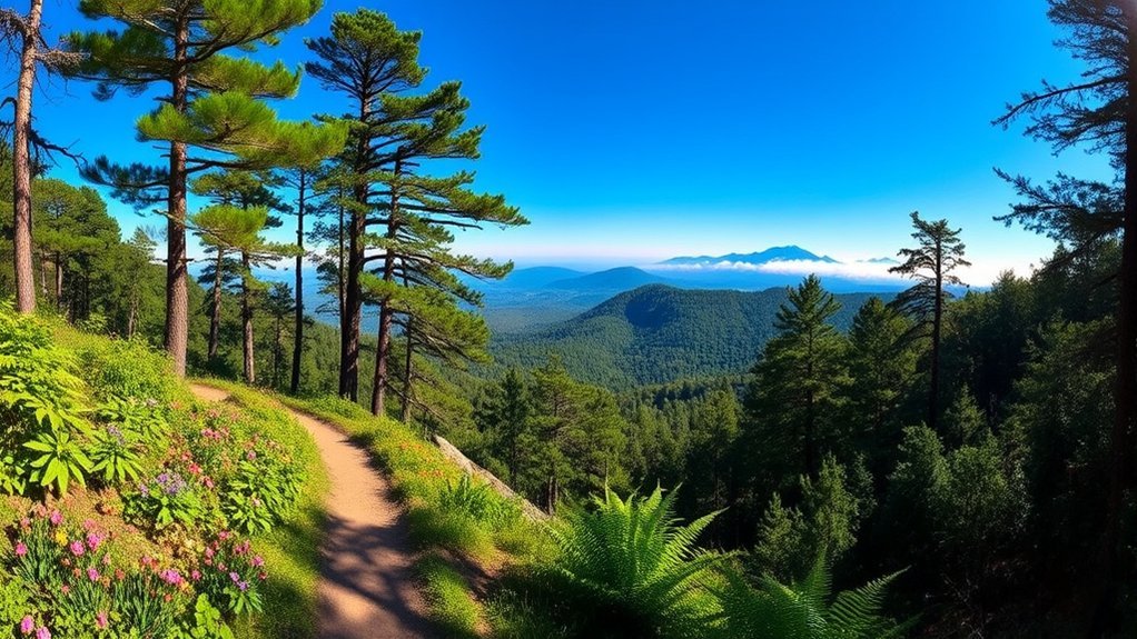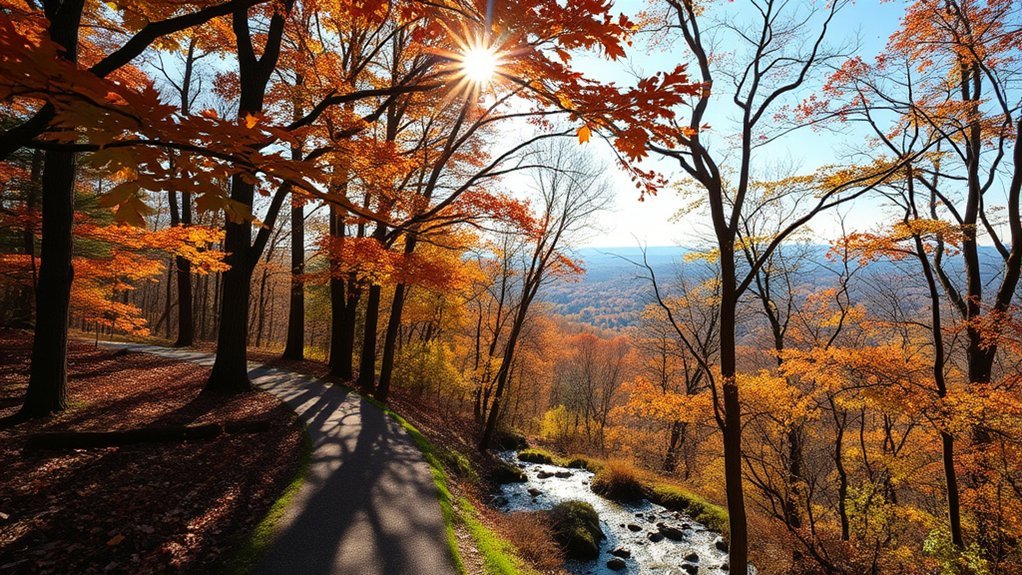
Fayetteville, Arkansas, is a strong base for hiking because you can choose between short city nature loops, paved lake paths, rugged mountain trails, and longer Ozark day trips. The key is knowing which hikes are actually in Fayetteville and which require a drive into the surrounding region. This guide separates the two and uses current trail information from the agencies that manage them.
Quick Answer
Some of the best hiking trails in Fayetteville include Lake Fayetteville, Kessler Mountain, Joe-Clark Trail, and Gregory Park. Lake Fayetteville is best for an easier paved outing, while Kessler offers more rugged terrain. For dramatic Ozark scenery, Devil’s Den State Park and Whitaker Point make worthwhile regional day trips.
Key Takeaways
- Fayetteville reported 121.3 miles of trails at the end of 2025, including both paved and natural-surface routes.
- Lake Fayetteville is one of the easiest places to compare paved and natural options, with a 5.5-mile paved loop and a 6.9-mile natural-surface route.
- Kessler Mountain is the better choice for hikers seeking rugged terrain and a larger natural-surface trail system.
- Yellow Rock, Devil’s Den, Whitaker Point, Tanyard Creek, and Alum Cove are regional outings rather than Fayetteville city trails.
- Check official maps and current trail conditions before leaving, especially after heavy rain or when visiting remote Ozark trails.
As of the end of 2025, the City of Fayetteville reported 121.3 miles of trails: 61.14 miles of shared-use paved trails and 60.16 miles of natural-surface trails.
Top Hiking Trails in Fayetteville
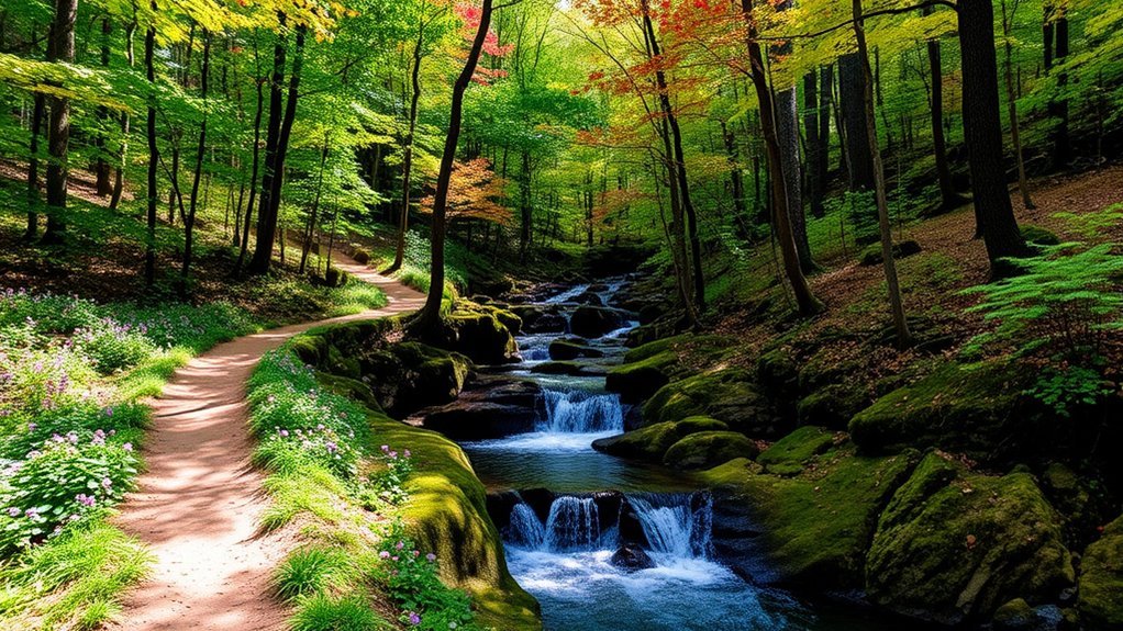
Fayetteville has far more trail mileage than older guides may suggest. The City of Fayetteville reported 121.3 total trail miles at the end of 2025. If hiking rather than cycling is your priority, several routes stand out.
| Trail | Distance / System | Surface | Best For |
|---|---|---|---|
| Lake Fayetteville | 5.5-mile paved loop; 6.9-mile natural route | Paved and natural | Lake views, families, longer walks |
| Gregory Park | 0.9-mile hiking loop | Natural surface | Quick wooded hike |
| Joe-Clark Trail | 1.33-mile inner loop; 1.76-mile outer loop | Natural surface | Hiker-only wooded loops |
| Kessler Mountain | Approximately 20 miles of natural-surface trails | Natural surface | Rugged terrain and longer outings |
Lake Fayetteville Trail
Lake Fayetteville is an easy place to customize a hike. The shared-use paved loop is 5.5 miles, while the soft-surface natural route is 6.9 miles. The paved route includes amenities such as seating, picnic areas, playgrounds, and restrooms, making it especially practical for families and recreational walkers.
The trail system also passes wooded areas, restored prairie, and lake scenery. Because the paved route is shared with cyclists, walkers should stay aware of approaching bikes and keep to the appropriate side of the path.
Kessler Mountain Trails
Kessler Mountain provides a much more rugged experience. The city’s current Kessler Mountain Regional Park information describes approximately 20 miles of natural-surface trails, with terrain ranging from easier routes to difficult and very difficult mountain-bike trails.
Hikers can explore wooded slopes, rock outcroppings, bluffs, and higher ground without leaving Fayetteville. Because many routes are shared with mountain bikers, pay attention at intersections and follow posted directional or use-specific signs.
Joe-Clark Trail at Lake Wilson
For a quieter walk, the Joe-Clark Trail system offers two loops reserved for hikers: a 1.33-mile inner loop and a 1.76-mile outer loop. It is a useful choice when you want a natural-surface walk without committing to the longer mileage at Lake Fayetteville or Kessler Mountain.
Gregory Park Trails
Gregory Park provides a compact natural escape in the city. Its Morning Light hiking trail forms a 0.9-mile loop through a heavily wooded area. The park also contains mountain-bike features, including downhill trails, so hikers should use the designated hiking route and respect use-specific signs.
Pro Tip: After substantial rain, choose a paved route such as the Lake Fayetteville paved loop instead of a muddy natural-surface trail. Fayetteville asks users to stay off muddy nature trails because traffic can damage the trail and increase erosion.
Scenic Views and Natural Features
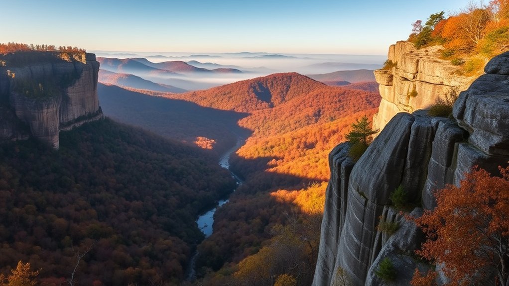
If you are willing to travel beyond Fayetteville, Northwest Arkansas and the surrounding Ozarks add overlooks, waterfalls, sandstone formations, and longer wilderness routes. These destinations should be treated as regional day trips rather than Fayetteville city hikes.
Yellow Rock Trail at Devil’s Den State Park
The Yellow Rock Trail at Devil’s Den State Park is a 3-mile moderate hike. Arkansas State Parks says hikers climb about 300 feet to Yellow Rock, where the overlook opens across Lee Creek Valley. Cedar glades, rock formations, and historic park features add interest beyond the viewpoint.
Whitaker Point and Hawksbill Crag
Whitaker Point, commonly called Hawksbill Crag, is accessed through the Upper Buffalo Wilderness. The U.S. Forest Service identifies the site as a wilderness trailhead and warns of steep cliffs. The overlook is memorable, but visitors should treat the exposed edges seriously and keep children and pets well back from drop-offs.
Warning: Scenic overlooks such as Whitaker Point include unprotected cliff exposure. Do not approach an edge for a photograph, and use extra caution with children, pets, wet rock, ice, strong wind, or poor visibility.
Tanyard Creek Nature Trail
Tanyard Creek is in Bella Vista rather than Fayetteville. The Bella Vista Property Owners Association describes the nature trail as roughly two miles, with both paved and natural-surface portions. It follows Tanyard and Sunshine creeks and passes the waterfall below the Lake Windsor Dam, making it an attractive choice for an easier regional outing.
Alum Cove Natural Bridge
Farther into the Ozarks, the Alum Cove Natural Bridge Recreation Area is known for a sandstone natural bridge measuring about 130 feet long and 20 feet wide. Rock shelters and weathered bluff formations are the main attractions. Water features can vary with conditions, so the natural bridge itself should be the main reason for visiting.
Family-Friendly Hikes

For a family outing, choose a trail based on the youngest or least experienced hiker rather than mileage alone. Surface, elevation, weather, bicycle traffic, and cliff exposure can make two trails of similar length feel very different.
- Gregory Park Trail: The 0.9-mile natural-surface hiking loop is a convenient choice for a shorter wooded walk.
- Joe-Clark Trail: Choose the 1.33-mile inner loop for a shorter outing or the 1.76-mile outer loop when everyone wants more distance.
- Lake Fayetteville Trail: The 5.5-mile paved loop has benches, picnic areas, playgrounds, and restrooms. Families do not have to complete the entire loop to enjoy the lake.
- Tanyard Creek Nature Trail: About two miles with a mix of surfaces and a waterfall, although it requires a trip to Bella Vista.
- Devil’s Den National Recreation Trail: Officially 1.5 miles and rated moderate. It is short but rocky and can take two to three hours, so it is better for families comfortable on uneven terrain.
- Yellow Rock Trail: A 3-mile moderate hike with a 300-foot climb to the overlook. It suits active families better than very young or inexperienced hikers.
Note: A short mileage does not automatically mean an easy hike. Rocky footing, steep sections, heat, mud, and exposed overlooks can make a short natural-surface trail more demanding than a longer paved walk.
Challenging Trails for Experienced Hikers
Experienced hikers have several ways to increase the difficulty, from longer Fayetteville trail combinations to strenuous regional backpacking routes.
Butterfield Hiking Trail
The Butterfield Hiking Trail at Devil’s Den State Park is a 15-mile strenuous route. Arkansas State Parks estimates 12 hours to overnight for the complete trail. The loop extends from the state park into the Ozark National Forest and passes mountain terrain, rock formations, streams, and scenic viewpoints.
This is a major step up from a casual day hike. Carry an appropriate map, enough water and food, weather protection, and the equipment needed for the length of your planned outing.
Ozark Highlands Trail
The original 17.4-mile figure sometimes attached to the Ozark Highlands Trail does not describe the full route. The U.S. Forest Service describes the Ozark Highlands Trail as a long-distance route crossing the Ozark National Forest, with the National Recreation Trail extending roughly 165 miles. Most visitors should plan a specific section rather than approaching it as one ordinary Fayetteville day hike.
Kessler Mountain
Kessler Mountain also works for stronger hikers who want challenging natural terrain without a long drive. With an extensive network of interconnected trails, you can build a longer outing, but difficulty differs substantially by route. Check the current city map before starting instead of assuming every trail in the system is suitable for hiking or for your ability level.
Whitaker Point
Whitaker Point is not exceptionally long compared with a backpacking route, but wilderness conditions, the approach to the trailhead, and steep cliff exposure demand more planning than a city-park walk. Download or carry the route information you need before entering areas where mobile service may be unreliable.
Tea Kettle Falls
Tea Kettle Falls is often discussed in regional hiking guides, but it should not be treated as a standard maintained Fayetteville trail. A consistent official route description and mileage are not published by the Fayetteville, Arkansas State Parks, or U.S. Forest Service trail resources used for this guide. Verify legal access, land-management rules, road conditions, and the current route before attempting the hike rather than relying on an unverified mileage figure.
How to Choose the Right Fayetteville Hike
Start by deciding what kind of outing you actually want. A paved exercise walk, family nature hike, mountain trail, and wilderness overlook require very different preparation.
- For an easy paved walk: Start with Lake Fayetteville’s paved trail and turn around whenever you have reached a comfortable distance.
- For a short wooded hike: Gregory Park or a Joe-Clark loop keeps the mileage manageable.
- For rugged terrain inside Fayetteville: Explore an appropriate Kessler Mountain route.
- For a scenic regional overlook: Consider Yellow Rock or Whitaker Point after checking conditions.
- For a strenuous full-day or overnight outing: Butterfield or a carefully selected Ozark Highlands Trail section requires much more preparation.
Trail Safety and Etiquette
Natural-surface Ozark trails can change quickly with rain, storms, fallen trees, heat, freezing weather, or maintenance work. Check the managing agency’s current information before leaving home.
- Carry enough water for the distance, weather, and people in your group.
- Wear footwear suited to rocks, roots, mud, and uneven ground.
- Stay on marked trails and respect trail closures.
- Do not use Fayetteville natural-surface trails when they are muddy.
- On multi-use routes, stay alert for bicycles and follow posted right-of-way rules.
- Keep a safe distance from cliff edges and wet rock.
- Carry a map or save an official trail map before entering remote areas.
- Tell someone where you are going when attempting longer or backcountry hikes.
- Pack out trash and leave plants, wildlife, rocks, and historic features undisturbed.
Accessibility and Visitor Information
Accessibility varies widely by trail. Fayetteville has paved shared-use routes that are generally easier to navigate than its natural-surface hiking systems, but that does not mean every mile is appropriate for every mobility level. Natural trails can contain roots, rocks, grades, mud, and narrow sections.
For official Fayetteville trail maps and route descriptions, use the City of Fayetteville walking and hiking trails page. The city lists individual routes, distances, maps, and park information.
The Experience Fayetteville Visitors Center is at 21 S. Block Avenue on the historic downtown square and provides local maps, guides, and visitor information.
Parking is available at many established city parks and recreation sites, but the exact parking arrangement depends on the trail. For regional destinations such as Devil’s Den, Whitaker Point, or Alum Cove, check the managing agency’s directions before leaving because road and trailhead conditions can differ from an urban park.
Fayetteville trails can be enjoyed during different seasons when conditions cooperate. Spring and fall often provide comfortable hiking weather and seasonal color, while summer outings may require more attention to heat and hydration. Winter can bring cold, ice, and shorter daylight. Check the forecast and current surface conditions rather than choosing a trail by season alone.
Frequently Asked Questions
Are dogs allowed on Fayetteville hiking trails?
Dogs can use many Fayetteville trails, but the city’s general trail rule requires pets to remain on a leash within four feet and owners must pick up waste. Lake Wilson is a designated off-leash dog park, so its rules differ. For state parks, national forest sites, and other regional trails, check the specific land manager’s pet rules before visiting.
What is the best season for hiking in Fayetteville?
Spring and fall are popular choices because they can offer comfortable temperatures, spring vegetation, or autumn color. Hiking is possible at other times too, but summer heat, thunderstorms, winter cold, ice, and wet natural-surface trails can affect your plans. Check the current forecast and trail conditions before leaving.
Are guided hiking tours available around Fayetteville?
Guided opportunities vary rather than running continuously. Devil’s Den State Park schedules interpreter-led hikes and other outdoor programs, while Fayetteville occasionally offers organized nature programs. Check the current city and state-park event calendars for dates and registration requirements.
Where can I find official trail maps?
Use the City of Fayetteville’s trail pages for city routes, Arkansas State Parks for Devil’s Den trails, and the U.S. Forest Service for national forest and wilderness destinations. Official land-manager maps should be your primary planning source, especially for remote hikes.
Is parking available at Fayetteville trailheads?
Many developed Fayetteville parks have designated parking, but availability and capacity differ by location. Regional trailheads may have smaller lots or different road conditions. Check the official page for the exact trail before driving there, and avoid blocking roads or parking outside designated areas.
Which Fayetteville hike is best for beginners?
The paved Lake Fayetteville Trail is a practical beginner option because you can walk only part of the loop and turn around when ready. Gregory Park’s 0.9-mile hiking loop and the 1.33-mile inner Joe-Clark loop are good shorter natural-surface alternatives.
Should I hike natural-surface trails after heavy rain?
Avoid Fayetteville natural-surface trails when they are muddy. Walking or riding through mud damages the trail and contributes to erosion. A paved route is usually the better choice until natural trails have dried.
Conclusion
Fayetteville gives hikers plenty of choices without requiring a long drive. Lake Fayetteville works well for a paved walk or longer lake loop, Gregory Park and Joe-Clark offer shorter natural routes, and Kessler Mountain provides more rugged terrain. When you want bigger Ozark scenery, Devil’s Den, Whitaker Point, Tanyard Creek, and Alum Cove expand your options beyond the city.
Choose your trail based on distance, surface, difficulty, weather, and the abilities of your group. Check the official map and current conditions before leaving, stay off muddy natural-surface trails, and give exposed overlooks the caution they deserve.
Sources
- City of Fayetteville – Walking and Hiking Trails – official distances and descriptions for Fayetteville hiking routes.
- City of Fayetteville – Trail Construction Program – current citywide paved and natural-surface trail mileage.
- Arkansas State Parks – Devil’s Den State Park – official park information, trails, programs, and visitor details.
- U.S. Forest Service – Whitaker Point / Hawksbill Crag Trailhead – Upper Buffalo Wilderness access and trailhead information.
- U.S. Forest Service – Alum Cove Natural Bridge Recreation Area – natural bridge and recreation-area information.
- Bella Vista Property Owners Association – Trails – current Tanyard Creek Nature Trail description and mileage.