Gilbert gives you a different kind of Arizona hiking experience. Most trails inside town are flat park paths, pond loops, and canal routes rather than steep mountain hikes. You can watch birds at the Riparian Preserve, take a paved family walk around Water Ranch Lake, follow a canal for several miles, or drive to nearby regional parks for rocky desert climbs.
Quick Answer
Gilbert’s best local trails are at the Riparian Preserve at Water Ranch, especially its paved half-mile lake path and longer pond routes. Use the Eastern Canal or Sun Circle connections for flat distance. For a true desert climb, drive to Usery Mountain or San Tan Mountain regional parks.
Key Takeaways
- Start at the Riparian Preserve for birding, short family walks, ponds, educational features, and the most clearly documented accessible route.
- Use Gilbert’s canal and multi-use paths when you want a flexible out-and-back walk, run, or bike ride.
- Treat names such as Discovery Park Loop and Freestone Pond Loop as common route-app labels, not guaranteed official trail names or fixed courses.
- Check current park alerts before leaving. Freestone Park’s lake area is scheduled to remain closed through May 2027.
- Choose Usery Mountain, San Tan Mountain, Papago Park, South Mountain, or Camelback only when you want more elevation and can handle the conditions.
Current closure notice: As of July 23, 2026, Gilbert lists the Freestone Park lake area as closed from June 2026 through May 2027. Other parking lots, restrooms, fields, courts, and recreation areas have separate staged closures. Check the official Freestone Park page before planning a walk there.
What’s in This Article
- Top Trails in Gilbert You Shouldn’t Miss
- Best Easy Walks and Family-Friendly Loops
- Longer Canal and Multi-Use Routes
- Top Birding and Wildlife Viewing Spots
- Trails With the Best Park Amenities
- Accessible Trails and Parking Information
- Scenic Sunset and Photography Hikes
- Nearby Day Hikes for More Challenge
- Mountain Biking and Multi-Use Trail Options
- Seasonal Tips for Hiking Around Gilbert
- How to Choose the Right Gilbert Trail
- Frequently Asked Questions
- Conclusion
- Sources
Top Trails in Gilbert You Shouldn’t Miss
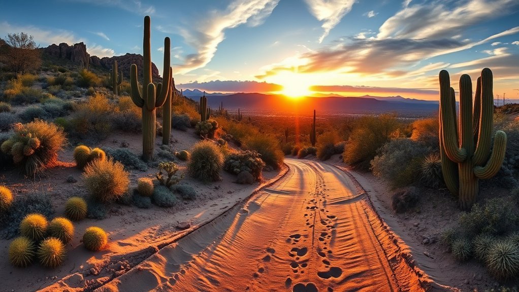
The Riparian Preserve at Water Ranch is the best starting point for most visitors. The 110-acre preserve has seven recharge ponds, a fishing lake, more than 4.5 miles of trails, wildlife-viewing areas, restrooms, ramadas, a floating boardwalk, gardens, and educational features.
| Trail or Area | Best For | Distance and Surface | Planning Note |
|---|---|---|---|
| Water Ranch Lake path | Short walks, wheelchairs, strollers, wildlife | About 0.5 mile; paved | The strongest verified accessible local option |
| Riparian Preserve pond trails | Birding, photography, flexible family walks | More than 4.5 miles total; pavement, gravel, and uneven sections | Combine short named segments using the official visitor map |
| Discovery District Park paths | Family recreation, lakes, picnic breaks | Flexible park circuit; multi-use paths | Loop distance varies with the paths you connect |
| Gilbert Regional Park lake path | Group walks, playground visits, open park scenery | About 0.5 mile around the lake; additional park paths available | Useful when your group wants more than hiking |
| Eastern Canal and Sun Circle connections | Long walks, running, commuting, cycling | Choose your own out-and-back distance; paved or packed surfaces | Expect long, exposed stretches with limited shade |
| Freestone Park paths | Normally suited to mixed park recreation | Route availability currently affected | Lake area scheduled closed through May 2027 |
Note: Trail apps may combine short preserve paths into names such as “Desert Willow, Tiger Moth, and Cattail Crawl Loop.” Discovery Park Loop and Freestone Pond Loop are also common app labels. Distances may change depending on the exact paths selected, so follow official maps and posted signs.
Best Easy Walks and Family-Friendly Loops
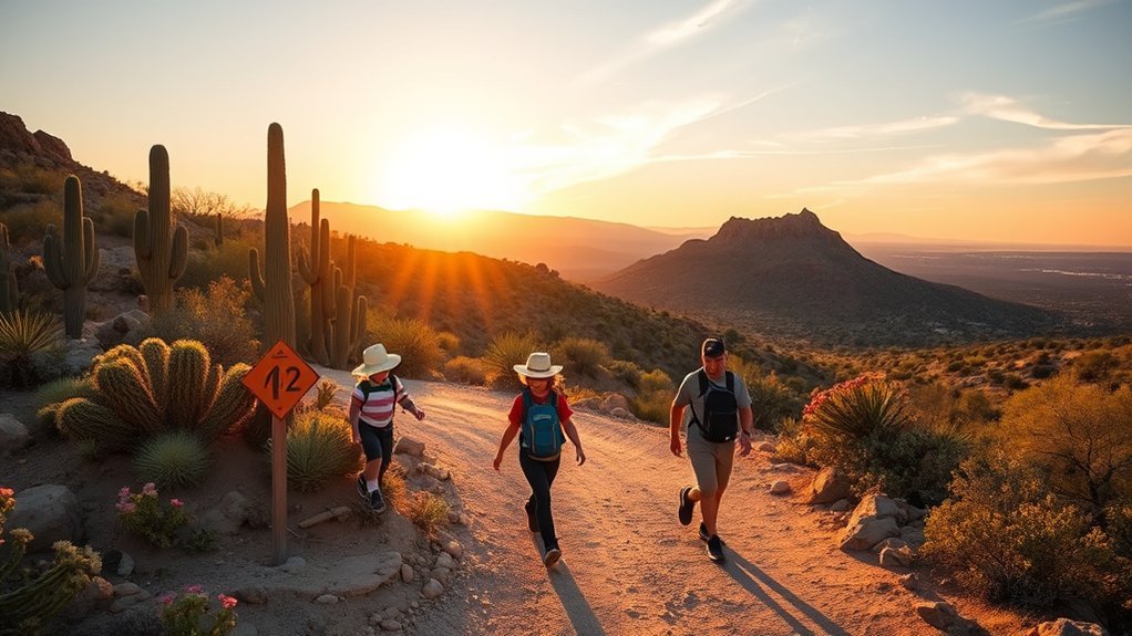
Gilbert’s easiest routes work well when you want a short outdoor break without steep grades. Surface quality and shade vary, so match the route to your stroller, mobility needs, weather, and available time.
- Water Ranch Lake path: Choose this paved half-mile circuit for a quick family walk, accessible parking, nearby restrooms, benches, wildlife, and views across the lake.
- Riparian Preserve pond circuit: Link Desert Willow Walk, Tiger Moth Territory, Cattail Crawl, or other signed segments for a flexible walk. Gravel and uneven ground appear beyond the paved lake path.
- Discovery District Park paths: Build a short circuit around the park’s two lakes, learning path, butterfly garden, fields, and ramadas. The exact distance depends on which connectors you use.
- Gilbert Regional Park lake path: Use the short lake circuit when your group also wants playgrounds, picnic space, fishing access, or other park facilities.
- Freestone Park paths: Save this option for after checking current construction updates. The lake area is not a reliable walking destination during the scheduled closure.
Bring drinking water, hats, sunscreen, and closed-toe shoes even for a short outing. Most of these paths have little elevation, but open areas can become hot quickly.
Longer Canal and Multi-Use Routes
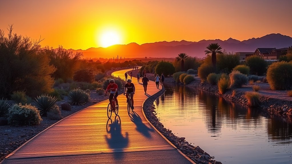
Gilbert’s canal and multi-use routes are better for distance than for mountain scenery. The town promotes more than 50 miles of trails connecting parks, neighborhoods, and the Heritage District. Surfaces can include asphalt, concrete, compacted gravel, and short dirt connectors.
The Eastern Canal route near the Riparian Preserve lets you extend a pond walk into a longer outing. Gilbert also maintains a bicycle repair station near the Eastern Canal entrance on Guadalupe Road. The Sun Circle and Maricopa Trail network creates additional connections around Freestone Park, Mesa, San Tan Mountain, and other parts of the East Valley.
Pro Tip: Treat canal paths as out-and-back routes. Turn around while you still have at least half your water and energy remaining instead of committing to a fixed point-to-point distance.
Open canal banks can feel much hotter than tree-lined park paths. Carry your own water, download or save a map, and note the nearest safe road crossing before traveling several miles from your starting point. Use the official Maricopa and Sun Circle Trail maps when planning longer connections.
Top Birding and Wildlife Viewing Spots
The Riparian Preserve is Gilbert’s leading local birding destination. Its ponds, marsh vegetation, trees, viewing blinds, gardens, and lake attract resident and migratory birds throughout the year.
Nearly 300 bird species have been identified at the Riparian Preserve at Water Ranch.
Arrive shortly after sunrise for cooler conditions, softer photography light, and less foot traffic. Move quietly near the ponds, use wildlife-viewing blinds when available, and keep a respectful distance from nests and feeding animals.
- Paved Water Ranch Lake path: Best for quick birding with a stroller, wheelchair, or limited walking time.
- Interior pond trails: Best for a slower birding session across several habitats and viewing areas.
- Discovery District Park: A practical backup for casual lake and waterbird viewing near restrooms, ramadas, and recreation areas.
- Canal extensions: Useful when you want to continue walking after exploring the preserve, although wildlife viewing becomes less concentrated.
Wildlife rule: Stay on public trails and do not feed wildlife. The preserve’s retention basins contain reclaimed water and are not for swimming, wading, or pet access. Keep children and animals out of wet and dry basin areas.
Trails With the Best Park Amenities
Choose a full-service park when your group wants to combine walking with playgrounds, sports, food, fishing, or long rest breaks.
- Riparian Preserve at Water Ranch: Best for educational signs, wildlife blinds, gardens, restrooms, picnic ramadas, a play area, the floating boardwalk, and the observatory area.
- Discovery District Park: Best for two lakes, a butterfly garden, learning path, playground, restroom, sports facilities, eight ramadas, benches, and multi-use trails.
- Gilbert Regional Park: Best for large group outings, a lake path, fishing pier, playgrounds, event areas, sports courts, and picnic facilities.
- Freestone Park: Normally strong for mixed recreation, with multi-use trails, playgrounds, courts, picnic areas, a skate park, batting cages, and other facilities. Construction affects several areas during 2026 and 2027.
Gilbert parks commonly operate from early morning until late evening, but preserve habitat trails and nearby mountain parks may follow different sunrise, sunset, or seasonal schedules. Verify the specific facility page before an early or late visit.
Accessible Trails and Parking Information
The paved path around Water Ranch Lake is the clearest verified accessible trail choice in Gilbert. The town reports approximately 0.5 mile of paved trail around the lake, accessible parking near the play area and library, and accessible restrooms near the play area and inside the library.
The preserve has about 4.5 miles of generally flat trails, but only part of the system is paved. Many interior paths use gravel and may be uneven. A route that works for one wheelchair, mobility device, or stroller may not work equally well for another.
Note: Review Gilbert’s official accessibility information before visiting. Construction, loose gravel, standing water, erosion, or maintenance can change a route’s usability.
- Best verified paved option: Water Ranch Lake path.
- Best place for accessible parking and nearby restrooms: The north side of the Riparian Preserve near the play area and Southeast Regional Library.
- Best flexible park alternative: Gilbert Regional Park, where you can select a short paved path near major facilities.
- Routes requiring more caution: Interior preserve paths, canal trails, and any route described only by a third-party trail app.
Start with the shortest available circuit, identify shaded rest areas before leaving the parking area, and avoid testing an unfamiliar surface during extreme heat.
Scenic Sunset and Photography Hikes
For water reflections, birds, and colorful skies without a climb, start at the Riparian Preserve or Discovery District Park. Arrive before golden hour so you can choose a legal viewing location without rushing near the water.
Freestone Park has traditionally offered pond reflections, but its lake-area closure makes it unsuitable as a dependable photography recommendation until the work is complete. Gilbert Regional Park provides another open lake setting, although event activity and park lighting can affect the scene.
For elevated desert views, consider Papago Park’s easy Hole-in-the-Rock Trail, Usery Mountain trails, San Tan Mountain trails, South Mountain, or Camelback Mountain. The City of Phoenix rates Hole-in-the-Rock as easy, while both primary Camelback summit routes are rated extremely difficult.
Warning: Carry a working headlamp if you may return after sunset. Do not rely on a phone flashlight as your only light source, and confirm that your trail and parking area remain open after dark.
Use a wrist strap or stable tripod near water and cliff edges. Commercial photography at the Riparian Preserve may require a permit, so check official rules before organizing a paid shoot.
Nearby Day Hikes for More Challenge
Gilbert’s in-town paths are mostly flat. For rocks, elevation, cactus scenery, and longer desert routes, drive to one of the regional or Phoenix mountain parks.
- Usery Mountain Merkle Trail: A 1-mile barrier-free route for visitors who want Sonoran Desert scenery without a difficult climb.
- Usery Mountain Wind Cave Trail: A difficult hike-only trail measuring 1.5 miles each way, with 812 feet of listed elevation change. The full outing is about 3 miles round trip.
- San Tan Mountain Littleleaf Trail: An easy 0.7-mile trail that can be combined with connecting routes. Official trail distances are generally listed one way.
- San Tan Mountain Goldmine Trail: A difficult 2.5-mile trail with steeper, rougher terrain. Plan the complete route carefully because the listed distance is one way.
- Papago Park Hole-in-the-Rock: A short, easy natural-surface route to a popular viewing opening in the sandstone butte.
- Camelback Mountain: An extremely difficult summit hike for experienced, prepared hikers in suitable weather. Dogs are prohibited, parking is limited, and the mountain is open from sunrise to sunset.
See the official Usery Mountain trail list and San Tan Mountain trail list for current distances, ratings, use restrictions, and park information.
Warning: During a National Weather Service Extreme Heat Warning, selected Phoenix mountain trails close from 8 a.m. to 5 p.m. The program includes Camelback’s Echo Canyon and Cholla trails, Piestewa Peak trailhead routes, and specified South Mountain routes. An official closure overrides any itinerary in this guide.
Mountain Biking and Multi-Use Trail Options
You can ride many of Gilbert’s park, canal, and multi-use paths, but most in-town routes are not technical mountain-bike trails. They are better for family rides, commuting, fitness mileage, adaptive cycling, hybrid bikes, and gravel-capable bikes.
Yield to pedestrians and horses, slow down near children and dogs, announce passes, wear a properly fitted helmet, and use lights and reflective gear during low-light rides. At the Riparian Preserve, bicycles are allowed on trails and sidewalks but must yield to pedestrians.
Multi-Use Canal Paths
- Eastern Canal: Best for long, flat rides and access from the Riparian Preserve area.
- Sun Circle and Maricopa connections: Best for linking parks and building longer East Valley routes.
- Gilbert Regional Park connector: Useful for a short park ride or for reaching a larger trail network.
- Local neighborhood connectors: Best for shorter family rides when you want frequent exit points.
Canal surfaces change between pavement, compacted gravel, and rougher connectors. A road bike with narrow tires may not suit every segment.
Mountain Biking Loops
Gilbert’s park loops are beginner-friendly but do not provide the rocks, drops, sustained climbs, or narrow singletrack associated with technical mountain biking. Use them for practice, casual riding, and fitness rather than a rugged trail session.
For true desert mountain biking, Usery Mountain and San Tan Mountain have official multi-use trail systems with easy, moderate, and difficult options. Wind Cave and certain other routes are hike-only, so check each trail’s permitted use before riding.
Carry a tube or plug kit, pump, tire levers, basic multitool, identification, charged phone, and more water than you expect to use. Desert thorns, sharp rocks, and heat can turn a simple ride into a long walk back.
Accessibility & Surfaces
Many Gilbert paths are wide and relatively flat, but “multi-use” does not automatically mean fully accessible. Gravel depth, loose soil, curb transitions, washouts, construction, and gate design can affect wheelchairs, adaptive cycles, and strollers.
- Pavement: Most predictable around Water Ranch Lake and developed park facilities.
- Concrete or asphalt: Common on urban connectors and some park paths.
- Packed gravel: Common on canal banks and interior preserve routes.
- Natural dirt: More common on nearby mountain trails and short connectors.
Review the official map, begin with a short section, and turn around if the surface becomes unsafe for your equipment.
Seasonal Tips for Hiking Around Gilbert
Gilbert’s desert climate should determine your start time, distance, route, and water supply. Conditions can remain hot outside summer, especially on exposed canal paths.
| Season | What to Expect | Best Planning Tip |
|---|---|---|
| Spring | Pleasant mornings, possible wildflowers, and busy popular trails | Go early or on weekdays and avoid stepping off trail for flower photos |
| Summer | Extreme heat, hot pavement, and limited safe hiking windows | Skip strenuous hikes in dangerous heat and follow all official restrictions |
| Monsoon period | Lightning, strong wind, dust, sudden rain, and possible flash flooding | Check warnings, leave exposed areas early, and never enter flooded paths or washes |
| Fall | Gradually cooler conditions and strong birding opportunities | Extend your distance only after checking the day’s temperature |
| Winter | Cool mornings, comfortable afternoons, and busier mountain trails | Carry a light layer while keeping sunscreen and water in your pack |
| Year-round | Strong sun exposure and changing construction or maintenance conditions | Check official alerts, carry water, and tell someone where you are going |
Heat illness warning: Stop activity and move to a cooler place if you develop dizziness, heavy sweating, nausea, weakness, or muscle cramps. Confusion, seizures, collapse, or unresponsiveness can signal heat stroke. Call 911 immediately and begin cooling the person while help is coming.
Monsoon thunderstorms can produce lightning and fast-changing flood conditions. Check the National Weather Service Phoenix monsoon safety guidance, know your escape route, and move to a safe building or vehicle when thunder is nearby.
How to Choose the Right Gilbert Trail
Choose a route by matching its surface and exposure to your available time, fitness, mobility needs, group, and the day’s weather.
- For 30 minutes or less: Walk the paved Water Ranch Lake path or select a short circuit at Gilbert Regional Park.
- For birding: Explore the Riparian Preserve slowly during the cooler morning hours.
- For a stroller or mobility device: Start with the paved lake path and verify current access before trying gravel trails.
- For distance: Use the Eastern Canal or a Sun Circle connection as an out-and-back route.
- For a family park day: Choose Discovery District Park or Gilbert Regional Park.
- For easy desert scenery: Drive to Usery’s Merkle Trail or Papago’s Hole-in-the-Rock Trail.
- For a difficult climb: Consider Wind Cave, Goldmine, South Mountain, or Camelback only in safe weather and with the required experience.
First-time visitors should begin with a short route. Add another pond path or canal segment only after confirming that the surface, temperature, water supply, and remaining daylight are suitable.
Frequently Asked Questions
Where can you hike near Gilbert, AZ?
Inside Gilbert, start with the Riparian Preserve at Water Ranch, Water Ranch Lake path, Discovery District Park, Gilbert Regional Park, and the town’s canal connections. For more elevation, drive to Usery Mountain, San Tan Mountain, Papago Park, South Mountain, or Camelback Mountain.
What is the easiest trail in Gilbert for families?
The paved path around Water Ranch Lake is the easiest well-documented option. It is about half a mile long and sits near wildlife areas, accessible parking, restrooms, benches, and other preserve facilities.
Are Gilbert trails good for biking?
Yes. Gilbert has more than 50 miles of trails and connections suited to casual cycling, commuting, family rides, and fitness. Canal surfaces vary, and park paths are shared with pedestrians, children, dogs, and sometimes horses.
When is the best time to hike in Gilbert?
Cool-season mornings generally provide the most comfortable conditions. During hot weather, check the forecast and official warnings before leaving. Avoid strenuous hiking during extreme heat and obey all trail closures.
Which Gilbert trails are best for birding?
The Riparian Preserve trails are Gilbert’s strongest birding choice because they pass ponds, marsh plants, trees, gardens, and viewing blinds. Nearly 300 bird species have been identified at the site.
Are dogs allowed on Gilbert trails?
Leashed, well-managed dogs are allowed in pedestrian areas at the Riparian Preserve and many Gilbert parks. Keep pets out of reclaimed-water basins and check each park’s rules. Dogs are prohibited on all Camelback Mountain trails.
Which Gilbert trail is best for wheelchair access?
Start with the paved half-mile path around Water Ranch Lake. Gilbert lists accessible parking and restrooms nearby. Interior preserve trails may be gravel or uneven, so review current conditions before extending the route.
Conclusion
Gilbert’s best trails give you easy pond walks, wildlife viewing, family parks, and long canal routes rather than major climbs. Begin with the paved Water Ranch Lake path or the wider Riparian Preserve network, use canal connections for distance, and drive to Usery or San Tan when you want true desert terrain. Always check closures, weather warnings, trail rules, surface conditions, and remaining daylight before you start.
Sources
- Town of Gilbert: Riparian Preserve at Water Ranch — preserve size, ponds, facilities, operating information, and trail access.
- Town of Gilbert: Inclusive and Accessible Facilities — paved trail distance, accessible parking, restrooms, and preserve accessibility.
- Town of Gilbert: Freestone Park — amenities, park hours, and current construction closures.
- Town of Gilbert: Discovery District Park — lakes, multi-use trails, parking, ramadas, and recreation facilities.
- Maricopa County Parks: Maricopa and Sun Circle Trail Maps — regional trail connections and route-planning maps.
- City of Phoenix: Trail Heat Safety Program — Extreme Heat Warning closures and desert hiking safety.