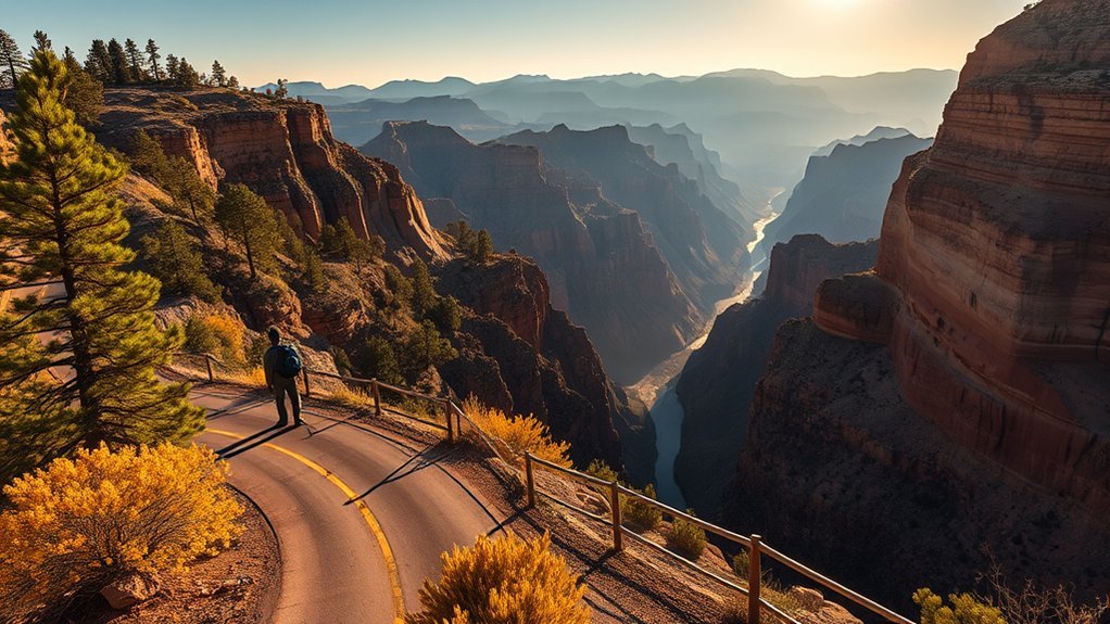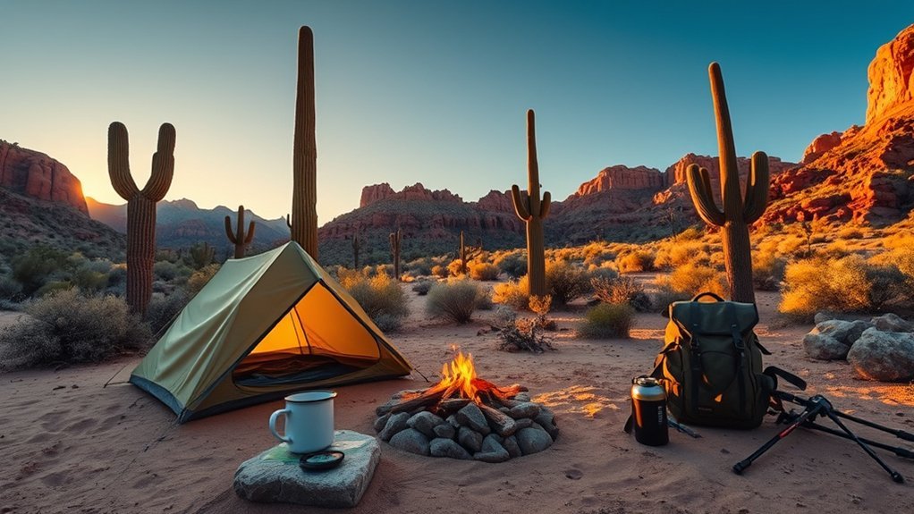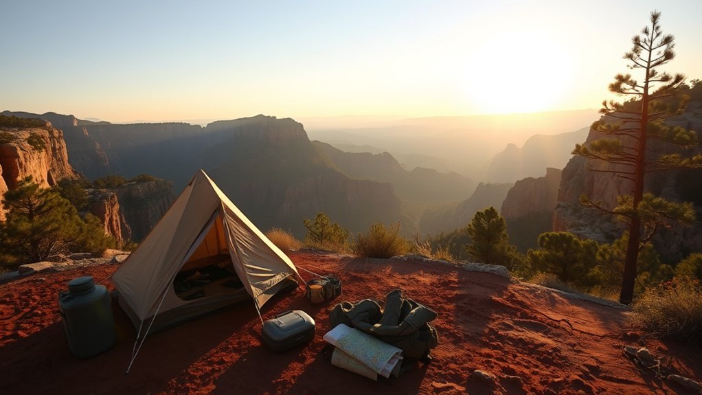
Rising more than 2,000 feet above the central Arizona desert, the Mogollon Rim spans over 200 miles of forested limestone and sandstone cliffs, creating a high-elevation alpine sanctuary covered in ponderosa pines, deep canyons, and cold-water lakes. Straddling the Apache-Sitgreaves National Forests and the Coconino National Forest, this plateau sits between 7,000 and 8,000 feet above sea level, offering a dramatic escape from desert heat. Whether you are setting up an RV at a developed lakeside loop, pitching a tent at a primitive cliffside overlook along Forest Road 300, or backpacking the remote Cabin Loop Trail system, planning ahead ensures a safe, well-equipped trip.
Quick Answer
Mogollon Rim camping is best from late spring through early autumn (May to October). Developed campgrounds like Canyon Point, Aspen, and Spillway require advance reservations on Recreation.gov, while free primitive camping is available at designated sites along Forest Road 300 (Rim Road). Expect cold nights, rapid summer monsoon thunderstorms, and mandatory food storage protocols for black bears.
Key Takeaways
- Prime Season: May through June and September through October offer the best balance of clear weather and open Forest Service roads.
- Dispersed Camping Rules: Dispersed camping along high-use corridors of Forest Road 300 is restricted to numbered, designated campsites to protect the fragile rim edge.
- Altitude & Weather: Rim elevations exceed 7,500 feet; night temperatures frequently drop near freezing in late spring and autumn, and afternoon monsoon storms bring severe lightning in July and August.
- Reservations: Developed campgrounds near Woods Canyon Lake and Willow Springs Lake book up to 6 months in advance on Recreation.gov.
Planning Your Trip: When to Go, Permits, and Regulations
Timing your trip to the Mogollon Rim depends on whether you prefer warm-weather lake recreation or brisk fall foliage. Late spring (mid-May to June) and early autumn (September through October) provide the most stable weather, with daytime highs in the 70s°F (21–25°C) and crisp nights. Summer brings daytime crowds escaping Phoenix temperatures, accompanied by daily afternoon monsoon thunderstorms from July through August. In winter (November to April), heavy snowfall closes Rim Road (Forest Road 300) and halts vehicle access to developed campgrounds.
Pro Tip: Check active fire restrictions before leaving home. During extreme dry conditions in May and June, the Forest Service frequently enacts Stage 1 or Stage 2 Fire Restrictions, which prohibit open campfires and charcoal grills even in developed rings.
Most standard camping and day hiking along the Mogollon Rim does not require an entry permit. However, specific administrative rules apply across jurisdictions:
- Developed Campgrounds: Sites must be reserved via Recreation.gov up to 6 months in advance. First-come, first-served loops fill by Thursday morning on summer weekends.
- Dispersed Camping: Free throughout general national forest land, subject to a 14-day stay limit within any 30-day period.
- Wilderness Backcountry: Entering designated wilderness areas (such as West Clear Creek Wilderness or Hellsgate Wilderness) requires signing trailhead registers; group sizes are capped at 12 to 15 people depending on the district.
- Fishing: Anglers aged 10 and older must carry a valid fishing license issued by the Arizona Game and Fish Department (AZGFD).
Top Developed Campgrounds Along the Rim
Developed campgrounds along the Rim provide essential infrastructure, including pressurized potable water, vault or flush toilets, trash collection, and level tent pads or RV sites. The majority of family-friendly sites are situated within the Rim Lakes Recreation Area near State Route 260.
| Campground | Amenities | Best For | Nearby Recreation |
|---|---|---|---|
| Aspen Campground | Vault toilets, drinking water, campfire rings, paved loops | Tents and small trailers | Woods Canyon Lake, Nature Trail |
| Canyon Point | Flush & vault toilets, hot showers, electric hookups, dump station | RVs & large family groups | Willow Springs Lake, Sinkhole Trail |
| Spillway Campground | Vault toilets, drinking water, lakeshore access | Waterfront tent camping | Woods Canyon Lake Store & boat ramp |
| Christopher Creek | Vault toilets, water faucets, creek frontage | Families with young kids | Creek wading, lower elevation warmth |
| Sinkhole Campground | Vault toilets, drinking water, shaded pine sites | Quiet tent & small rig camping | Rim Lakes Vista Trail access |
Primitive and Dispersed Camping Along Forest Road 300
Dispersed camping on the Mogollon Rim offers complete solitude and expansive panoramic views stretching 40 miles south toward the Mazatzal Mountains and Pleasant Valley. The main corridor for primitive camping is Forest Road 300 (Rim Road), an unpaved gravel road that winds along the edge of the plateau.
Warning: The USFS enforces Designated Dispersed Camping along high-traffic stretches of FR 300. Camping along these designated zones is restricted to marked, numbered sites marked with official brown fiberglass posts. You cannot drive off-road or create new campsites within these restricted zones.
Top Primitive Camping Zones
- FR 300 Edge Overlooks (Near Woods Canyon Vista): High-demand primitive sites offering direct cliffside vistas. These sites fill fast on summer mornings and require vehicles capable of handling washboard gravel.
- Forest Road 9350 & FR 169 (Ponderosa Interior): Located north of FR 300, these spur roads lead into dense pine stands and mountain meadows. They provide superior wind protection compared to exposed cliff edges and accommodate larger travel trailers.
- Bear Canyon Lake Dispersed Sites: Located off Forest Road 89, these sites offer quiet, walk-in primitive tent camping near one of the Rim’s most pristine non-motorized fishing lakes.
- Chevelon Canyon & Knoll Lake Spurs (FR 295 / FR 34): Highly remote options for high-clearance 4WD vehicles seeking primitive camping far away from highway corridors.
RV and Group Camping: Hookups, Roads, and Access
Navigating the Mogollon Rim in a recreational vehicle requires understanding road classifications and campground limitations. While State Route 260 and the main paved access roads to Woods Canyon Lake and Willow Springs Lake accommodate large motorhomes, side forest service roads feature steep grades, exposed limestone rock, and heavy washboarding.
- RV Hookups: Full and partial hookups are scarce on the Rim. Canyon Point Campground is the primary developed facility offering 50-amp and 30-amp electrical hookups, alongside a potable water filling station and sewage dump station.
- Size Restrictions: Most campgrounds in the Rim Lakes Recreation Area accommodate trailers and RVs up to 32 to 40 feet. Sites at Spillway and Sinkhole are tighter and best suited for vehicles under 25 feet.
- Road Accessibility: FR 300 is suitable for standard passenger vehicles during dry summer conditions, but driving large fifth-wheels or low-clearance trailers past Woods Canyon Lake onto unimproved dirt spurs is discouraged due to narrow turnaround radiuses and tire hazards.
- Group Camping: Group campsites at Canyon Point, Upper Canyon Creek, and Aspen must be reserved via Recreation.gov well in advance, with maximum group capacities ranging from 25 to 100 people.
Essential Gear for Rim Camping and Backpacking
The Mogollon Rim’s elevation creates a sub-alpine microclimate where daytime heat transitions rapidly into near-freezing overnight temperatures. Standard desert camping gear is insufficient for high-country rim conditions.
Note: Pack a sleeping bag rated to at least 20°F to 30°F (-7°C to -1°C) even for summer trips. Clear nighttime skies at 7,800 feet cause rapid radiative heat loss.
- Shelter & Sleeping: Sturdy 3-season tent with a full-coverage rainfly, guylines capable of handling 35+ mph cliff winds, and an insulated sleeping pad (R-value 3.5 or higher).
- Layered Clothing: Synthetic moisture-wicking base layers, a high-loft fleece or down midlayer, and a seam-sealed waterproof rain jacket for afternoon squalls.
- Navigation & Power: Downloaded offline maps (Gaia GPS, OnX Backcountry), a physical paper USFS topographic map, a magnetic compass, and a portable battery bank or satellite messenger (Garmin inReach), as cellular service along the Rim edge is intermittent.
- Camp Kitchen: Isobutane or liquid fuel stove (wood fires may be barred under fire restrictions), water filtration unit, heavy-duty collapsible water bladders, and scent-proof food storage sacks.
Water Sources, Treatment, and Rim Lakes
Water availability across the Mogollon Rim is strictly concentrated around natural springs, canyon drainages, and engineered recreational reservoirs. Dispersed campers along FR 300 must haul their own potable water, as there are no piped water stations along the dirt forest roads.
- Rim Reservoirs: Woods Canyon Lake, Willow Springs Lake, Bear Canyon Lake, Knoll Lake, and Chevelon Canyon Lake provide abundant surface water for filtration during backcountry trips.
- Natural Springs & Creeks: Perennial water flows through Horton Creek, Christopher Creek, Tonto Creek, and sections of the East Verde River below the Rim. Along the plateau, spring flows fluctuate sharply by season and can dry completely by June.
- Filtration Standards: Always treat natural water using a 0.1-micron hollow-fiber membrane filter, ceramic pump, or chemical treatment (chlorine dioxide) to remove Giardia, Cryptosporidium, and agricultural runoff.
- Potable Water Stations: Piped, chlorinated drinking water is accessible at developed campground spigots (Canyon Point, Aspen, Spillway) from May to October for registered campers.
Top Hiking and Backpacking Routes
The Mogollon Rim trail network spans scenic clifftop strolls, steep descents into lush transition-zone canyons, and rugged multi-day loops through historic pine forests.
- Rim Lakes Vista Trail #255 (Day Hike — Easy): A paved and packed-gravel pathway spanning roughly 3.5 miles along the rim crest. It offers panoramic overlooks of the Apache-Sitgreaves forest below with minimal elevation change, making it ideal for families and leashed dogs.
- Woods Canyon Lake Loop (Day Hike — Easy/Moderate): A scenic 5.2-mile loop encircling the shoreline of Woods Canyon Lake, shaded by ponderosa pines, Douglas firs, and oak thickets with excellent fishing access.
- Horton Creek Trail #285 (Day Hike — Moderate): A 7.0-mile round-trip hike starting below the Rim near Upper Tonto Creek. The trail climbs along a cold, boulder-strewn perennial spring creek lined with ferns and alder trees.
- The Cabin Loop Trail System (Backpacking — Strenuous / 2–3 Days): A premier 24- to 30-mile backcountry loop combining the Houston Brothers (#171), Barbershop (#114), Fred Haught (#141), U-Bar (#28), and General Crook (#130) trails. Backpackers traverse forested ridges, deep canyon bottoms, and historic forest ranger cabins.
- Highline National Recreation Trail #31 (Long-Distance — Strenuous): A historic 50-mile trail traversing the base of the Mogollon Rim through the Tonto National Forest, offering rugged topography, exposed climbs, and rich Arizona history.
Weather, Monsoon Lightning, and Altitude Safety
Camping at 7,500 to 8,000 feet requires careful physiological and meteorological precautions. The lower air pressure and dry atmosphere accelerate dehydration and increase vulnerability to hypothermia and sunburn.
Warning: Lightning strikes on the exposed Mogollon Rim crest are frequent during the July–August North American Monsoon. If clouds darken and thunder sounds, retreat immediately from clifftops, lakes, and isolated tall trees. Take shelter inside a hard-topped vehicle or move down into lower forested draws.
- Hydration: Drink at least 3 to 4 liters of water per day. High altitude accelerates respiration and moisture loss even in cool weather.
- Hypothermia Prevention: Summer storms can cause temperatures to drop from 80°F to 45°F within 30 minutes, accompanied by hail. Always pack waterproof gear on day hikes.
- Road Safety: Unpaved Forest Service roads (including FR 300, FR 169, and FR 512) turn into slick, impassable clay mud during heavy rains. Avoid driving during or immediately following intense cloudbursts.
Wildlife Safety and Food Storage Regulations
The Mogollon Rim supports healthy populations of Rocky Mountain elk, mule deer, javelina, mountain lions, coyotes, and American black bears. Keeping a clean camp prevents dangerous human-wildlife habituation.
- Proper Food Storage: Store all food, scented toiletries, garbage, and pet bowls inside a locked, hard-sided vehicle trunk, or inside an IGBC-certified bear canister. In backcountry camps, hang food bags at least 12 feet off the ground and 6 feet out from tree trunks using the counterbalance method.
- Cooking Distance: Cook, eat, and wash dishes at least 200 feet downwind from your sleeping area and tent pad. Never bring food, candy wrappers, or scented balms into a tent.
- Wildlife Encounters: If you encounter a black bear, stand your ground, make yourself appear large, shout firmly, and slowly back away. Never run. Carry EPA-registered bear spray and keep it readily accessible on your belt or pack strap.
Leave No Trace and Forest Stewardship
Due to heavy visitation from major urban centers, high-use areas along the Rim suffer from soil compaction, illegal fire rings, and litter. Practicing Leave No Trace ethics preserves the Mogollon Rim’s natural integrity.
| LNT Principle | Rim Field Application | Common Violation to Avoid |
|---|---|---|
| Camp on Durable Surfaces | Camp within existing clearings or designated numbered sites. | Crushing delicate cliffside vegetation or cutting live pine boughs. |
| Dispose of Waste Properly | Pack out 100% of trash, micro-refuse, and food waste. | Leaving aluminum cans or glass in campfire pits. |
| Sanitation & Catholes | Dig a 6–8 inch cathole at least 200 feet from water bodies and trails. | Leaving exposed toilet paper or burying waste near lakeshores. |
| Campfire Management | Drown campfires with water, stir ashes, and confirm coals are cold to the touch. | Abandoning warm coals or burning during fire bans. |
| Respect Quiet Hours | Observe quiet hours from 10:00 PM to 6:00 AM; limit generator runs. | Running open-frame generators overnight in primitive sites. |
Frequently Asked Questions
Are drones allowed over the Mogollon Rim backcountry?
Recreational drone flights are permitted in general national forest areas under FAA Part 107 / TRUST rules, but they are strictly prohibited in designated federal Wilderness areas (such as West Clear Creek or Hellsgate Wilderness) under 36 CFR § 261.53. Never launch or operate drones near wildlife, active wildfires, or forest firefighting aviation operations.
Can I fish without an Arizona license at Rim lakes?
No. All anglers aged 10 and older must possess a valid Arizona Game and Fish Department (AZGFD) fishing license to fish at Woods Canyon, Willow Springs, Bear Canyon, or Knoll Lake. Licenses can be purchased online through the AZGFD portal or at local outdoor retailers in Payson and Heber-Overgaard.
Is cell phone service reliable along the Mogollon Rim?
Cellular reception along the Mogollon Rim is weak and inconsistent. Direct cliff edges facing south toward the desert often pick up line-of-sight signal from highway towers, but inland forest roads, canyon bottoms, and developed campgrounds have dead zones. It is strongly recommended to download offline navigation maps and carry a satellite messenger for emergencies.
Where can I rent camping or backpacking gear near the Rim?
The closest full-service gear retailers and rental outfitters are located in Payson (approximately 30 miles southwest of the Rim on SR 260) and Flagstaff. The Woods Canyon Lake Recreation Store rents small watercraft (kayaks, canoes, paddleboards, and electric motorboats) on a seasonal basis during the summer months.
Are there guided or educational ranger programs on the Rim?
Yes. During peak summer weekends (Memorial Day through Labor Day), the Black Mesa Ranger District and local natural history partners host interpretive nature walks, campfire talks, and wildlife safety presentations at the Woods Canyon Lake outdoor amphitheater and the Black Mesa Ranger Station.
Conclusion
The Mogollon Rim stands as one of Arizona’s most spectacular natural landscapes, balancing accessible family campgrounds and tranquil lakes with rugged, primitive backcountry. By reserving your developed campsite early, understanding designated dispersed camping guidelines along Forest Road 300, and staying prepared for rapid mountain weather shifts, you can enjoy a safe, rewarding high-country adventure. Treat the forest with respect, adhere strictly to fire restrictions, and leave every campsite cleaner than you found it.
Sources
- U.S. Forest Service: Apache-Sitgreaves National Forests — Official guidelines, Black Mesa Ranger District notices, and road status.
- U.S. Forest Service: Coconino National Forest — Forest Road 300 conditions, wilderness rules, and fire restriction stages.
- Recreation.gov — Public campsite booking, campground amenities, and vehicle length limits for Rim Lakes campgrounds.
- Arizona Game and Fish Department (AZGFD) — Angling regulations, trout stocking schedules, and state fishing licenses.