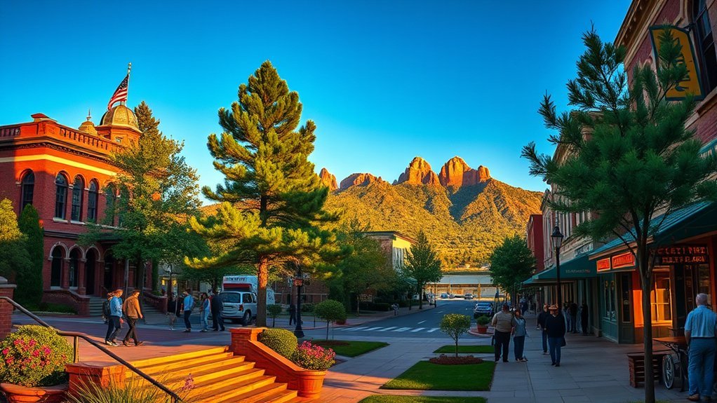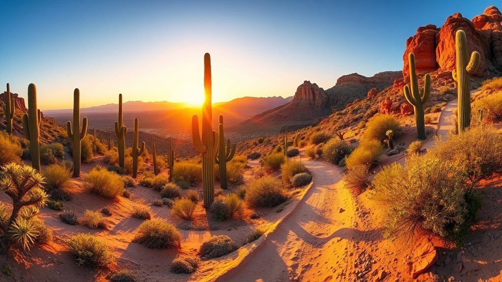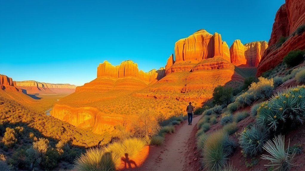
Like stepping into a Western painting, Sedona gives you red-rock spires, shaded canyons, sandstone scrambles, and long desert views within a surprisingly compact area. The best hike depends on your fitness, comfort with heights, time, and the weather. You can tackle a steep climb such as Cathedral Rock or Bear Mountain, choose a moderate loop around Courthouse Butte, or look for a gentler canyon walk such as Fay Canyon. Trail access, parking, heat, and seasonal closures matter just as much as mileage, so check current conditions before you leave.
Quick Answer
The best Sedona hikes include Cathedral Rock for scrambling, Courthouse Butte Loop for classic red-rock scenery, Devil’s Bridge for its sandstone arch, Soldier Pass for geological features, Fay Canyon for an easier walk, Boynton Canyon for a longer canyon hike, and Bear Mountain for a strenuous challenge.
Key Takeaways
- Best short scramble: Cathedral Rock is only 1.1 miles round trip but gains 669 feet on steep sandstone.
- Best moderate loop: Courthouse Butte Loop covers about 3.8 miles with constant views of Bell Rock and nearby formations.
- Best easier canyon hike: Fay Canyon is about 2.1 miles round trip with relatively gentle terrain.
- Best hard hike: Bear Mountain climbs 2,289 feet over a 4.6-mile out-and-back route.
- Check access first: trailhead parking, Sedona Shuttle service, fees, fire closures, and monsoon conditions can change your plans.
Sedona Hiking Trails at a Glance
| Trail | Typical Distance | Difficulty | Best For | Typical Time |
| Cathedral Rock | 1.1 mi RT | Difficult | Scrambling and big views | About 1.5 hr |
| Courthouse Butte Loop | 3.8 mi RT | Moderate | Classic red-rock scenery | About 2.5 hr |
| Devil’s Bridge | 1.6 mi RT from official trailhead; longer from passenger-car access | Moderate | Natural arch | 2+ hr depending on approach |
| Soldier Pass | 4 mi RT | Moderate | Sinkhole, pools, geology | About 2.5 hr |
| Fay Canyon | 2.1 mi RT | Easy to moderate | Gentler canyon walking | About 1 hr |
| Boynton Canyon | 6 mi RT | Moderate | Long canyon scenery | About 2.5+ hr |
| Bear Mountain | 4.6 mi RT | Strenuous | Major climbing challenge | 5+ hr |
Warning: Conditions in Sedona can change quickly. Summer heat, thunderstorms, lightning, slick sandstone, flash flooding, wildfire closures, and post-fire debris flows can make an otherwise manageable hike dangerous. Check the Coconino National Forest alerts and the weather forecast before leaving.
Cathedral Rock Trail
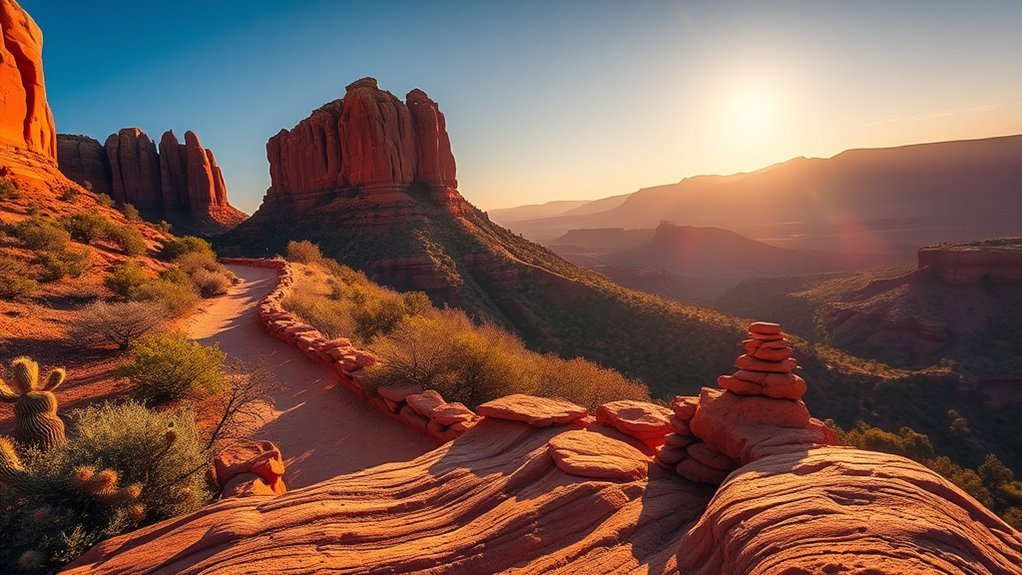
A short but demanding climb, Cathedral Rock Trail covers about 1.1 miles round trip while gaining roughly 669 feet. The Forest Service describes it as more of a rock climb than a conventional hike, and that is the right expectation. You will use your hands on steep sandstone in several places, but there are no official iron-rung climbing sections.
The route starts clearly enough before steepening onto sloping slickrock. Rock cairns and route markings help guide the way, although watching your footing is more important than moving quickly. The steepest sections can feel exposed, particularly if you are uncomfortable with heights.
The usual turnaround is the saddle between the rock towers, where broad views open across Sedona’s red-rock country. Allow roughly 1 to 2 hours depending on your pace, crowds, and comfort with scrambling. Descend slowly because going down steep sandstone often feels harder than climbing it.
Pro Tip: Sedona Shuttle Route 15 serves Cathedral Rock and Little Horse trailheads during scheduled service. Checking the current trailhead shuttle schedule can save you from circling for limited parking.
Bell Rock and Courthouse Butte Loop
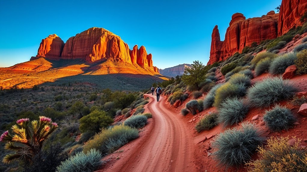
The Courthouse Butte Loop is one of the best choices when you want classic Sedona scenery without a major climb. The official loop is about 3.8 miles round trip, gains roughly 297 feet, and is rated moderate. You will see Bell Rock, Courthouse Butte, desert vegetation, and changing views across the Village of Oak Creek area.
Trail Overview and Route
From the Bell Rock Pathway area, follow signs toward Courthouse Butte Loop. The route uses established dirt and sandstone trail and is generally easy to navigate at signed junctions. Bell Rock itself has a network of informal-looking climbing lines, so stay aware of which trail you intend to follow rather than automatically following other hikers uphill.
- Start on Bell Rock Pathway and follow signs toward Courthouse Butte Loop.
- Stay on the signed loop as it wraps around Courthouse Butte.
- Return through the Bell Rock trail network to your starting trailhead.
Allow about 2 to 3 hours if you are hiking the complete loop at a relaxed pace.
Difficulty and Terrain
You will encounter packed dirt, uneven sandstone, shallow rocky steps, and occasional loose gravel, but the standard Courthouse Butte Loop does not require the sustained scrambling found on Cathedral Rock. The grade is generally manageable for hikers comfortable walking several miles over irregular desert terrain.
Good hiking shoes are more useful than heavy mountaineering boots. After rain, sandstone and clay-rich trail surfaces can become slippery, so slow down and avoid widening the trail around muddy sections.
Scenic Highlights and Views
Bell Rock dominates the early portion of the hike while Courthouse Butte becomes increasingly impressive as you move around its base. Different sides of the loop reveal red cliffs, desert flats, mesas, and long views toward surrounding formations.
- Morning: cooler temperatures and softer light.
- Midday: strong visibility but limited shade.
- Late afternoon: warmer color on the sandstone, provided you leave enough daylight to finish safely.
Devil’s Bridge Trail
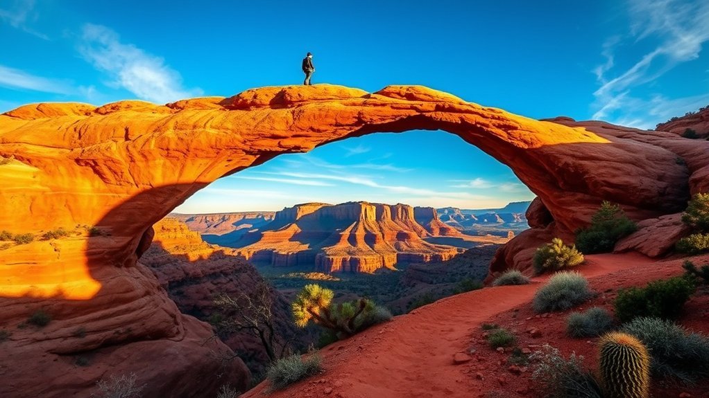
Devil’s Bridge Trail leads to the largest natural sandstone arch in the Sedona area. The Forest Service lists the official trail itself at about 1.6 miles round trip with 371 feet of elevation gain, but that figure begins from the Devil’s Bridge trailhead on a rough forest road.
Most visitors in ordinary passenger cars begin farther away from Dry Creek Vista, Mescal, or connecting trails, which makes the real walking distance considerably longer. Sedona Shuttle Route 11 serves Dry Creek Vista and Mescal during scheduled service, making those approaches practical when trailhead parking is crowded.
The final portion climbs rock steps toward the bridge. Near the arch, expect crowds and a line of hikers waiting for photographs. The sandstone span is wider than it can appear in photographs, but the sides drop steeply. Stay well back from edges if you are uncomfortable with exposure, keep children close, and never pressure another visitor to move faster for a photo.
Note: When comparing Devil’s Bridge mileage online, check where the measurement starts. The official trail distance and the distance most passenger-car visitors actually walk are not the same.
West Fork Oak Creek Trail
Warning: As of August 16, 2026, West Fork and associated Oak Creek areas are affected by temporary closures related to the Pocket Fire and post-fire flooding and debris-flow hazards. Do not rely on an older trail guide. Check the current Coconino National Forest alerts before planning this hike.
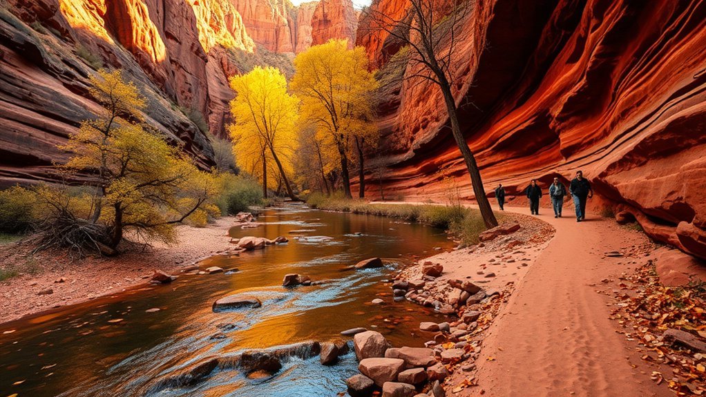
When open, West Fork Trail No. 108 is one of Sedona’s most distinctive canyon hikes. The established trail follows West Fork of Oak Creek beneath high canyon walls, with substantial shade and repeated shallow creek crossings.
Trail Overview
The Forest Service lists the route as flexible, with hikers commonly covering the first several miles before turning around. The first three miles have very little net elevation gain, making the physical climbing easier than many exposed Sedona trails. Distance becomes the main consideration because every mile walked into the canyon must be repeated on the return.
- Distance: choose a turnaround based on daylight, conditions, and the current closure status.
- Terrain: packed trail, rocks, mud, and repeated creek crossings.
- Access: the Call of the Canyon trailhead has its own day-use fee structure when open.
Scenic Highlights
West Fork feels different from Sedona’s exposed mesa trails. Sycamores and other riparian vegetation line the drainage, while red and pale canyon walls narrow around the creek. Autumn foliage can be particularly attractive, but it also draws heavy visitation.
The shade can make the canyon noticeably cooler than exposed trails. Creek crossings, pools, sandstone walls, and filtered light provide most of the visual interest rather than summit panoramas.
Practical Tips
When the trail reopens, use quick-drying footwear or shoes you do not mind getting wet. Carry enough water for your chosen distance rather than assuming the creek is safe to drink. Backcountry water should be properly treated before consumption.
Do not enter a narrow canyon when thunderstorms or flash-flood conditions threaten. The National Weather Service advises moving to higher ground immediately when flash flooding occurs or is imminent.
- Footwear: grippy shoes that tolerate water and mud.
- Essentials: drinking water, food, navigation, and weather information.
- Timing: check closures and weather before driving to Oak Creek Canyon.
Soldier Pass Trail (including Devil’s Kitchen and Seven Sacred Pools)
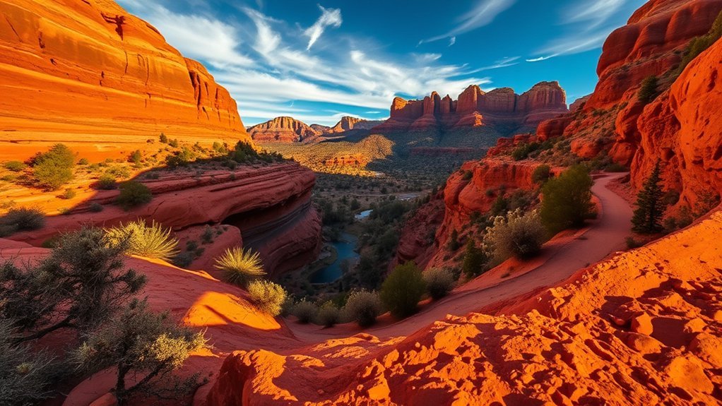
Soldier Pass Trail packs several geological features into a roughly 4-mile round trip with about 641 feet of elevation gain. It begins near a residential area before moving toward Red Rock-Secret Mountain Wilderness.
Devil’s Kitchen, a large sinkhole, appears early in the hike. View it from the established trail and overlooks rather than scrambling into the feature. Farther along, the Seven Sacred Pools form a series of sandstone basins that may hold water after rain and can be nearly dry during extended dry periods.
The route then continues through increasingly open red-rock scenery toward Brins Mesa connections. The trail itself is moderate, although loose rock, heat, and the cumulative climb can make it feel harder.
Parking at Soldier Pass is extremely limited. The Forest Service notes only a small number of spaces and restricted trailhead hours, while Sedona Shuttle Route 14 provides scheduled access from Posse Grounds Park & Ride. Using the shuttle is often easier than planning around the tiny lot.
Fay Canyon Trail

Fay Canyon Trail is a useful choice when you want red-rock scenery without a long or steep climb. The official route is about 2.1 miles round trip and is generally much gentler than Cathedral Rock, Bear Mountain, or Boynton Canyon.
Trail Description and Terrain
The trail follows a broad canyon between sandstone walls on a mixture of packed dirt, sand, and rock. Juniper and other vegetation provide intermittent shade. Elevation change is limited for most of the established route, although footing becomes rougher near the upper end.
- Trail surface: sand, dirt, and occasional rock.
- Grade: mostly gentle.
- Technical difficulty: low on the official trail, with rougher terrain near its upper end.
Informal side routes exist in the canyon, including routes toward arches and alcoves. Do not assume an unmarked track is part of the maintained trail.
How to Get There
Fay Canyon is west of central Sedona in the Boynton Pass area. From State Route 89A, turn north onto Dry Creek Road. Continue to the junction near Boynton Pass Road, follow signs west through the Boynton Pass area, and use the signed Fay Canyon trailhead parking area.
This is not accessed by driving out Schnebly Hill Road. Parking can fill during busy periods, so an earlier start improves your chances of finding a legal space.
Tips and Safety Considerations
Fay Canyon is easier than many hikes in this guide, but it is still desert hiking. Bring drinking water, sun protection, and shoes with adequate grip. Check thunderstorms and flash-flood potential before entering the drainage during monsoon season.
- Carry enough drinking water for the weather and your group.
- Use a map or downloaded trail map if you plan to explore beyond the obvious main trail.
- Stay on durable, established surfaces and pack out all trash.
Boynton Canyon Trail
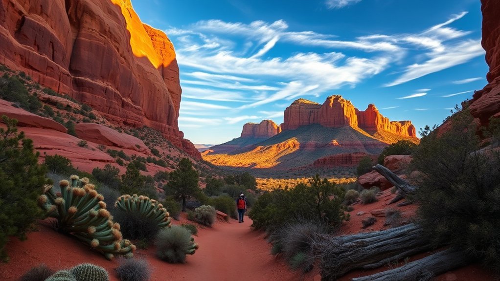
Boynton Canyon Trail combines open red-rock views with a longer canyon walk and more shade deeper into the route. The Forest Service lists the standard outing at about 6 miles out and back with roughly 931 feet of elevation gain.
| Trail Detail | What to Expect |
|---|---|
| Distance | About 6 miles out and back |
| Elevation gain | About 931 feet |
| Difficulty | Moderate |
| Terrain | Open desert, canyon trail, rocks, and shaded sections |
The opening portion passes through more developed surroundings before the hike settles into the canyon. Farther in, the walls become more prominent and shade increases. Expect a longer outing than Fay Canyon or Cathedral Rock even though the technical difficulty is lower than Cathedral’s steep scramble.
Follow official trail signs and avoid assuming every social path is part of the maintained route. Bring enough water for several hours and give yourself additional time if you plan side trips.
Schnebly Hill Road Overlook and Nearby Trails
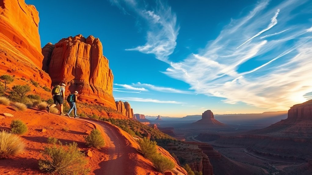
Schnebly Hill provides a different Sedona experience: broad elevated views, rough-road scenery, and access to established Forest Service hiking routes. The official trail network includes Schnebly Hill Trail and Munds Wagon Trail. “Pink Jeep Trail” is not the official name of a Forest Service hiking trail here.
Schnebly Hill Vista offers wide views across Sedona’s red-rock formations. Road conditions on Schnebly Hill Road can change substantially with weather and season, and higher portions can require appropriate high-clearance or four-wheel-drive capability.
- Plan: check current forest-road conditions before driving beyond maintained pavement.
- Timing: morning and late afternoon offer cooler hiking conditions than midday.
- Access: do not assume a standard passenger car can safely handle every section of Schnebly Hill Road.
If you primarily want to hike rather than drive, use the official trailheads and signed routes instead of following commercial-tour tracks or informal vehicle paths.
Bear Mountain Trail

If you want one of the hardest established day hikes near Sedona, Bear Mountain Trail deserves serious consideration. The Forest Service lists the hike at about 4.6 miles out and back with 2,289 feet of elevation gain and suggests allowing 5 hours or more.
The trail climbs steeply almost from the start, crossing multiple ridges and false summits. Loose rock, sandstone steps, route-finding attention, exposure to sun, and the sustained ascent make the hike much harder than its mileage suggests.
Do not treat the first high point you reach as the final summit. The trail continues across rolling high terrain before reaching its eventual turnaround. Carry adequate water and food, start early in warm weather, and leave enough energy for the steep descent.
Trekking poles can help on the return, particularly if steep downhill travel bothers your knees. If thunderstorms are developing, exposed high terrain is not a good place to wait them out.
Bear Mountain gains more than 2,000 feet in only 2.3 miles of outward travel, which is why distance alone badly understates the difficulty.
Munds Wagon Trail
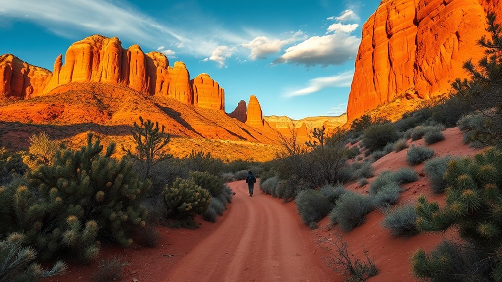
Munds Wagon Trail follows part of a historic route through the Schnebly Hill area. The Forest Service lists the trail at about 4 miles one way with approximately 1,100 feet of elevation gain. Hiking the entire trail out and back therefore creates a significantly longer outing than a casual two- or three-mile walk.
The climb is generally steadier and less technical than Bear Mountain or Cathedral Rock. Expect piñon-juniper vegetation, sandstone formations, and increasingly open views as you gain elevation.
Classic Sedona terrain, a historic route, steady climbing, and broad red-rock views without the sustained hands-on scrambling of Cathedral Rock.
- Gear: carry drinking water, sun protection, food, and sturdy shoes.
- Timing: start early during warm months because much of the route is exposed.
- Difficulty: moderate, but completing the full trail in both directions creates an approximately 8-mile day.
You can also use Munds Wagon as part of a larger route involving Schnebly Hill-area trails, but check your map before committing to a longer loop or point-to-point itinerary.
Other Sedona Hikes Worth Considering
Doe Mountain
Doe Mountain Trail climbs roughly 542 feet to the top of a broad mesa. The Forest Service lists about 0.7 mile to the mesa top, with additional walking possible around the mesa’s edge. It is a good option when you want a relatively short climb followed by wide views.
Airport Loop
Airport Loop circles the upper slope of Airport Mesa for roughly 3.5 miles with about 535 feet of gain. It is exposed for much of the route and works well when you want continuous views without a major summit climb.
Brins Mesa
Brins Mesa Trail is about 3.5 miles one way with approximately 649 feet of elevation gain. You can hike part of it as an out-and-back or combine it with connecting trails for a longer outing.
Parking, Passes, and the Sedona Shuttle
Parking is one of the biggest practical differences between Sedona hikes. Some trailheads have larger Forest Service lots, while Cathedral Rock and Soldier Pass have special access considerations and are served by Sedona’s trailhead shuttle.
The Sedona Shuttle serves popular trailheads from park-and-ride locations, with trailhead routes generally operating Thursday through Sunday and expanded schedules during some peak periods. Current routes include access for Cathedral Rock/Little Horse, Soldier Pass, and Dry Creek Vista/Mescal.
Some Forest Service parking areas require a Red Rock Pass or another accepted recreation pass. Other developed sites, including Call of the Canyon when open, can use their own fee systems. Always check the specific trailhead rather than assuming one pass covers every parking area.
Pro Tip: Decide how you are reaching the trailhead before choosing your start time. On busy weekends, shuttle schedules and legal parking can influence your day more than the hike itself.
Sedona Hiking Safety
Sedona’s trail system looks approachable because many routes are close to town, but desert and canyon conditions deserve the same planning you would use in more remote backcountry.
Heat and Water
Many Sedona trails have little shade. Start earlier during warm weather, carry enough drinking water for your route and group, and turn around before heat exhaustion becomes a problem. Do not count on seasonal pools or creeks as drinking-water sources.
Monsoon, Lightning, and Flash Floods
Northern Arizona’s summer monsoon can produce localized thunderstorms, lightning, and rapid flash flooding. The National Weather Service Flagstaff advises moving to higher ground immediately when a flash flood is occurring or imminent and never attempting to cross a flooded drainage.
Canyon routes such as West Fork deserve extra caution, but even normally dry washes can flood quickly. Exposed summits and sandstone ridges are poor places to be during thunderstorms.
Navigation and Footing
Stay on official trails and follow signs or established cairns. Sedona has many social trails, climbing paths, bike routes, and junctions that can make a wrong turn look legitimate. Download a map before starting if you expect weak cell reception.
Dogs on Sedona Trails
Dogs are allowed on many Coconino National Forest trails around Sedona, but individual recreation pages commonly require dogs to remain leashed and owners to remove pet waste. Check the specific trail before leaving. Hot sandstone can also burn paws, so avoid exposed midday hiking with dogs during warm weather.
Frequently Asked Questions
Are dogs allowed on these Sedona trails?
Dogs are allowed on many Coconino National Forest trails around Sedona, but leash requirements apply on numerous routes and developed recreation sites. Keep your dog controlled, carry water, pack out waste, and check the specific Forest Service trail page before visiting.
What is the best season to visit Sedona for hiking?
Spring and fall are popular because temperatures are generally more comfortable than midsummer. Winter can also be pleasant, but snow or ice can make shaded sandstone slippery. Summer hiking requires careful heat planning, and monsoon thunderstorms can create lightning and flash-flood hazards.
Are permits or fees required for Sedona hikes?
Most ordinary day hikes do not require a hiking permit, but many Forest Service parking areas require a Red Rock Pass or another accepted recreation pass. Some developed sites charge separate fees, and motorized access on certain forest roads can require permits. Check the exact trailhead before your trip.
How crowded do Sedona trails get on weekends and holidays?
Cathedral Rock, Devil’s Bridge, Soldier Pass, Bell Rock, and other famous trails can become very busy. Parking often fills before the trails themselves feel crowded. Start earlier, use the Sedona Shuttle where available, visit midweek, or choose a less famous trail if you want a quieter hike.
What safety gear should I bring for Sedona hiking?
Carry sufficient drinking water, sun protection, appropriate footwear, navigation, food, a basic first-aid kit, and extra clothing for changing conditions. A headlamp is smart if there is any chance you could finish near sunset. Trekking poles can help on loose or steep terrain.
What is the easiest hike in this guide?
Fay Canyon is one of the gentlest choices in this guide because the official route is about 2.1 miles round trip with relatively modest climbing. Courthouse Butte Loop is longer but also avoids technical scrambling.
How do I check whether a Sedona trail is closed?
Check the Coconino National Forest alerts and the individual trail’s Forest Service page shortly before leaving. Wildfire, flooding, maintenance, road conditions, and seasonal hazards can create closures that older hiking guides do not reflect.
Conclusion
Sedona’s best hikes cover a much wider range than the red-rock photos suggest. Cathedral Rock gives you a short, steep scramble; Courthouse Butte offers a moderate scenic loop; Devil’s Bridge leads to an iconic arch; Soldier Pass combines unusual geology with manageable mileage; Fay Canyon provides a gentler option; Boynton Canyon delivers a longer canyon walk; and Bear Mountain is the demanding choice for experienced hikers ready for serious climbing.
Choose your trail by difficulty and conditions rather than scenery alone. Check closures, weather, trailhead access, passes, and shuttle schedules before leaving, then carry enough water and give yourself more daylight than you think you will need. Sedona’s red-rock terrain is memorable at almost any pace, and good planning lets you enjoy it without turning a beautiful hike into a preventable problem.
Sources
- Coconino National Forest Recreation — official Sedona-area trail information, distances, difficulty, and access.
- Coconino National Forest Alerts — current trail, wildfire, flood, and recreation closures.
- Red Rock & Coconino Passes Program — Forest Service parking-pass requirements.
- Sedona Shuttle Trailhead Routes — current shuttle routes and operating information.
- National Weather Service Flagstaff Flash Flood Safety — flash-flood warnings and safety guidance.
- Coconino National Forest Safety and Outdoor Ethics — backcountry preparation, water, and recreation safety guidance.