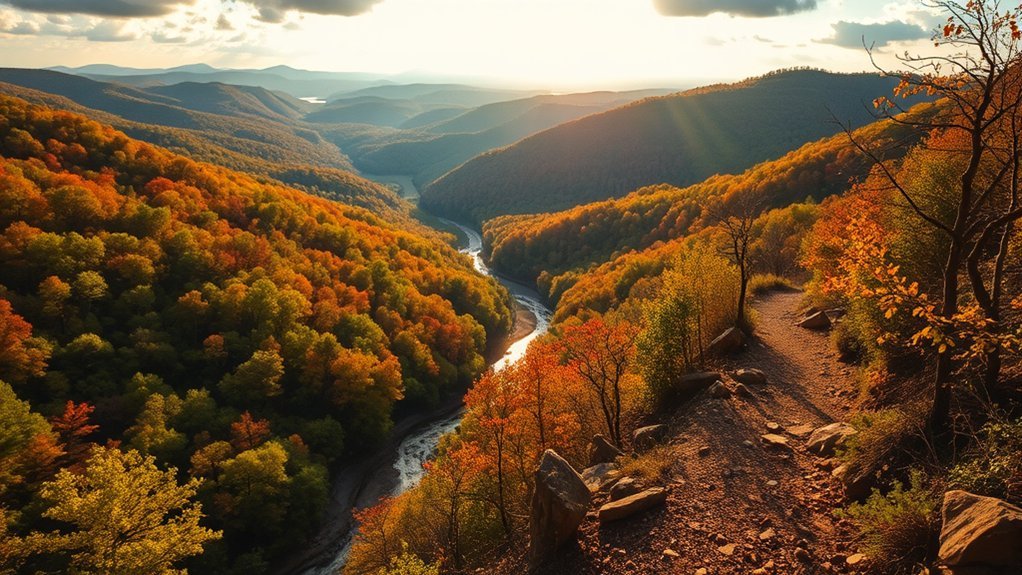
If you’re looking for the best hikes near Springdale, Arkansas, you can choose from easy paved greenways, short lakeside walks, natural-surface trails, waterfall routes, and more demanding Ozark hikes. Some of the closest options are right in Springdale, while destinations such as Tanyard Creek and Devil’s Den make better half-day trips. The key is matching the trail to your time, fitness level, and preferred scenery.
Quick Answer
Some of the best hikes near Springdale include the Razorback Greenway and Lake Springdale for easy outings, trails at the Ozark Highlands Nature Center for close-to-town nature, Tanyard Creek for a waterfall walk, and Yellow Rock Trail at Devil’s Den for a moderate Ozark overlook. Check current conditions before leaving.
Key Takeaways
- Best easy paved option: The Razorback Greenway gives walkers and cyclists a smooth route through Springdale with connections across Northwest Arkansas.
- Best close-to-town nature option: The J.B. and Johnelle Hunt Family Ozark Highlands Nature Center has trails on its Springdale property.
- Best waterfall outing: Tanyard Creek Nature Trail in Bella Vista combines a short paved section with a moderately hilly natural-surface trail and waterfall scenery.
- Best overlook hike: Yellow Rock Trail at Devil’s Den State Park is an official 3-mile moderate hike overlooking Lee Creek Valley.
- Plan for conditions: Summer heat, thunderstorms, rain, slippery rock, and changing trail conditions can affect even short Ozark hikes.
Best Hikes Near Springdale at a Glance
| Trail or Area | Best For | Surface / Difficulty |
|---|---|---|
| Razorback Greenway | Easy walking, running, cycling | Paved shared-use trail; generally easier terrain |
| Lake Springdale | Short local outings and lakeside scenery | Paved trail connections |
| Ozark Highlands Nature Center | Families, wildlife education, close-to-town nature | Hiking and biking trails on the property |
| Tanyard Creek Nature Trail | Waterfall scenery and a short regional hike | About 2 miles; paved and moderately hilly natural surface |
| Yellow Rock Trail | Ozark views and a moderate hike | 3 miles; moderate |
| Tea Kettle Falls area | More adventurous waterfall outings | Remote natural terrain; route and creek conditions vary |
Springdale itself has a substantial trail network. The City of Springdale lists the Razorback Greenway, Lake Springdale, Spring Creek Trail, Shiloh Trail, Dean’s Trail, and other routes as part of its active-transportation system. That makes it easy to start with a short local walk before committing to a longer drive or rugged trail.
Scenic Views and Wildlife Sightings
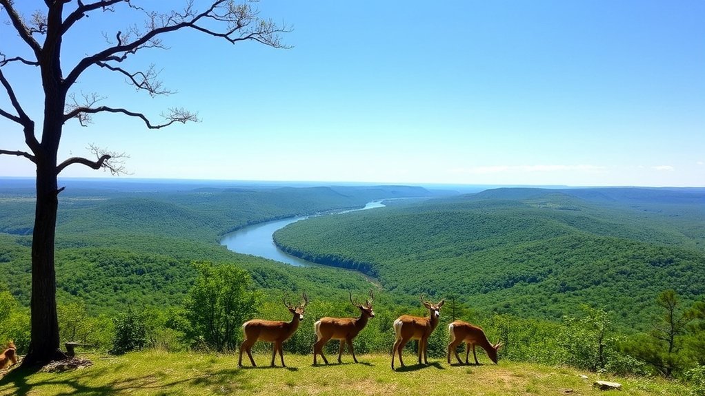
The Springdale area gives you several very different kinds of scenery. Along the Razorback Greenway, you can walk or cycle through an urban trail corridor connecting Springdale with other Northwest Arkansas communities. Near Lake Springdale and Spring Creek, wooded sections and water can provide good opportunities to slow down and watch for birds and other local wildlife.
For a more natural setting without leaving Springdale, the J.B. and Johnelle Hunt Family Ozark Highlands Nature Center sits on more than 60 acres and includes hiking and biking trails. Its combination of outdoor trails, native habitat, and educational facilities makes it especially useful for families who want nature without committing to a remote trailhead.
Farther from Springdale, Tanyard Creek Nature Trail in Bella Vista follows wooded creek terrain and passes a waterfall, while Yellow Rock Trail at Devil’s Den State Park climbs to an open view over Lee Creek Valley. Devil’s Den’s trails also lead toward the surrounding Ozark National Forest, giving that area a more rugged backcountry feel than Springdale’s paved urban network.
Note: Wildlife sightings are never guaranteed. Watch from a distance, avoid feeding animals, and give wildlife space to move away.
Accessible Paths and Trail Difficulty Levels
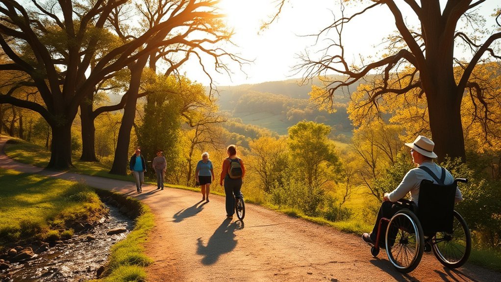
When you’re exploring the trails near Springdale, you’ll find everything from paved shared-use paths to rocky Ozark terrain. The Razorback Greenway is the easiest starting point for many visitors because it is paved and designed for walking, running, and cycling. Short connections around Lake Springdale also work well when you want an outing without a long drive.
Natural-surface routes require more care. Trail systems around Fitzgerald Mountain include rocky terrain built largely with mountain biking in mind, and routes with names such as Coyote Cave and Butterfield can be substantially rougher than paved city trails. Check posted signs for permitted uses and direction before hiking on bike-oriented singletrack.
Trail Difficulty Ratings
Difficulty labels are only a starting point. Distance, elevation change, loose rock, creek crossings, heat, mud, and your own fitness can make two “moderate” hikes feel very different.
For an easy outing, start with a paved section of the Razorback Greenway or a short Springdale park trail. Tanyard Creek Nature Trail adds natural terrain and moderately hilly sections. At Devil’s Den, the official Yellow Rock Trail is rated moderate, while the park’s Butterfield Hiking Trail is a 15-mile strenuous backpacking route and should not be treated like a casual short loop.
Warning: Do not assume a trail is accessible simply because part of it is short. Natural-surface Ozark trails can include rocks, roots, steep grades, mud, and creek crossings. If mobility access is important, verify the exact route and current conditions before you leave.
Beginner-Friendly Options
If you’re new to hiking, Springdale’s paved network is the simplest place to start. Choose a comfortable out-and-back distance on the Razorback Greenway, explore the Lake Springdale area, or visit the trails and outdoor spaces at the Ozark Highlands Nature Center.
The Dogwood Loop Trail found in regional hiking databases can also provide a relatively short outing, but exact distance and elevation figures differ between mapping services. Treat app measurements as planning estimates rather than official specifications.
Tanyard Creek Nature Trail is another approachable regional choice. According to the Bella Vista Property Owners Association, the trail system totals about two miles. It begins with a relatively level 0.3-mile paved loop before continuing onto moderately hilly natural surface through the woods and along the creeks.
Pro Tip: If you are unsure about your fitness level, begin on a paved route and turn around while you still feel comfortable. You can increase distance on your next outing without committing to a remote loop.
Trail Length and Paved/Unpaved Routes
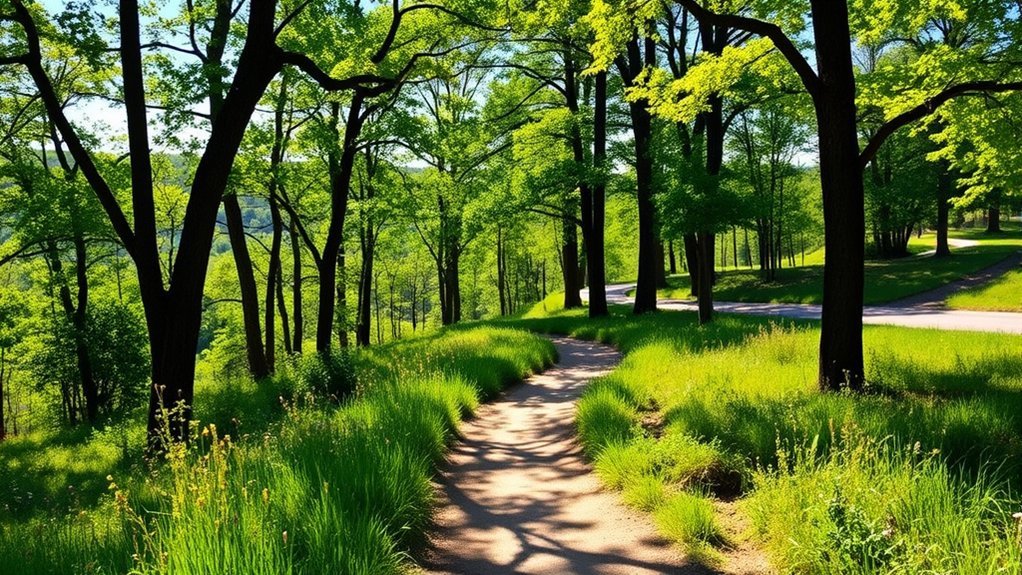
When exploring trails near Springdale, surface type matters as much as mileage. A paved three-mile walk can feel very different from three miles of rocky singletrack. Think about whether you want smooth pavement for walking or cycling, a natural forest trail, a waterfall route, or a more demanding Ozark climb.
Trail Length Varieties
The Razorback Greenway spans approximately 40 miles across Northwest Arkansas, but you do not have to complete anything close to the full route. Because it passes through Springdale, you can choose a short out-and-back section that matches the time you have available.
For a more defined destination hike, Yellow Rock Trail at Devil’s Den State Park is officially listed at 3 miles and about two hours. Tanyard Creek’s trail network is approximately 2 miles. Short regional routes such as Dogwood Loop can work for quick outings, while longer backcountry options such as Devil’s Den’s 15-mile Butterfield Hiking Trail demand much more preparation.
Paved vs. Unpaved Routes
Paved routes such as the Razorback Greenway are useful for walking, jogging, and cycling because the surface is predictable and the route connects communities throughout Northwest Arkansas. Springdale’s local trail system also includes paved links around Lake Springdale, Spring Creek, and other city corridors.
Unpaved trails offer a different experience. Yellow Rock Trail climbs through natural Ozark terrain, while Tanyard Creek mixes a short paved portion with a longer natural-surface section. More remote waterfall destinations may include faint footpaths, wet crossings, or rough approach roads.
Suitable for All Activities
Not every trail is suitable for every activity. The Razorback Greenway is specifically useful as a multi-community paved route for walkers, runners, and cyclists. Some natural-surface systems around Springdale are designed primarily for mountain bikes even when hiking is also permitted, so hikers should follow posted use and direction signs.
For families who want a shorter outing, Lake Springdale, the Ozark Highlands Nature Center, and paved Greenway sections are easier choices. Tanyard Creek adds a waterfall and woods without requiring a long-distance hike, while Devil’s Den offers more demanding terrain for hikers who want a stronger challenge.
Nature Reserves and Picnic Areas
Springdale has several places where you can combine a walk with a picnic or family outing. The J.B. and Johnelle Hunt Family Ozark Highlands Nature Center includes hiking and biking trails as well as outdoor pavilions on its Springdale property. It is a better match for the original article’s “nature preserve” idea than the incorrectly named “J.B. Hunt Nature Preserve.”
Springdale parks also provide green space and trail access. Shaw Family Park, for example, includes walking trails, playgrounds, and open spaces. J.B. Hunt Park and the Lake Springdale area can also serve as convenient local starting points for outdoor time without driving to a distant state park.
If your priority is a quiet meal after a longer hike, check the managing agency’s current facility information before leaving. Restrooms, pavilion availability, parking access, and temporary closures can change.
Notable Trails to Explore
As you plan your next outing near Springdale, these routes cover a useful range of experiences:
- Razorback Greenway: Best when you want a paved, flexible-distance walk, run, or bike ride without a remote trailhead.
- Lake Springdale: A good local choice for a shorter lakeside outing with connections into Springdale’s larger trail network.
- Ozark Highlands Nature Center trails: Close-to-town hiking with wildlife education and family-friendly outdoor facilities.
- Tanyard Creek Nature Trail: Approximately 2 miles in Bella Vista, combining a short paved loop, natural-surface hiking, creeks, and waterfall scenery.
- Yellow Rock Trail: A 3-mile moderate trail at Devil’s Den State Park that climbs roughly 300 feet to an unobstructed view of Lee Creek Valley.
- Butterfield Hiking Trail: A 15-mile strenuous route at Devil’s Den for hikers prepared for a significantly longer backcountry outing.
The Northwest Arkansas trail system makes it easy to combine city paths with more rugged regional destinations, but pay attention to who manages each trail. Rules, permitted uses, pet policies, maps, and difficulty ratings are not identical across Springdale city property, Bella Vista POA land, Arkansas State Parks, and wildlife-management areas.
Shorter Routes for Quick Outings
For those seeking a quick escape into nature, shorter hiking routes around Springdale can provide plenty of scenery without taking up an entire day.
Short hikes are not automatically easy hikes. Surface, heat, water crossings, route-finding, and elevation can matter more than mileage alone.
- Tanyard Creek Nature Trail: About 2 miles total, with a relatively level 0.3-mile paved loop plus moderately hilly natural-surface sections through woods and along the creeks.
- Dogwood Loop Trail: A roughly mile-long regional option shown by several trail-mapping services. Because mapped distance and elevation figures vary, check your chosen navigation source before starting.
- Tea Kettle Falls Hike: A picturesque but more remote Madison County waterfall outing. Routes vary depending on the approach, and hikers may encounter faint trail, creek crossings, rough road access, and wet footing.
Tea Kettle Falls is better treated as an adventurous regional side trip than a simple Springdale neighborhood hike. Download your route before losing cell service, avoid attempting creek crossings when water is unsafe, and turn back if route conditions exceed your experience.
Hiking Recommendations for All Skill Levels
Whether you’re an experienced hiker or just starting out, the Springdale region has useful options at several difficulty levels. Beginners can start on paved city trails, while hikers looking for natural terrain can move up to Tanyard Creek or Yellow Rock. Longer routes such as Butterfield require substantially more endurance and preparation.
| Trail Name | Difficulty Level | Best Use |
|---|---|---|
| Razorback Greenway | Easy for most short outings | Paved walking, running, cycling |
| Dogwood Loop Trail | Generally easy | Short regional hike |
| Tanyard Creek Nature Trail | Easy to moderate depending on section | Waterfall and creek scenery |
| Tea Kettle Falls area | Moderate with route-finding considerations | Remote waterfall adventure |
| Yellow Rock Trail | Moderate | Scenic overlook |
| Butterfield Hiking Trail | Strenuous | Longer backcountry hiking |
Remember that difficulty ratings are relative. A moderate trail after heavy rain can be harder than the same trail in dry weather, and Arkansas summer heat can add stress even on otherwise simple routes.
Tips for an Enjoyable Hiking Experience
Choosing the right trail is only the beginning of a good hiking day. Use these steps before heading out:
- Match the route to your ability: Consider distance, surface, elevation, heat, creek crossings, and navigation instead of looking at mileage alone.
- Check current conditions: Look for closures, storm impacts, construction, flooding, or land-manager notices before you drive to the trailhead.
- Carry water and food: Even a short hike can feel harder in hot or humid weather. Bring enough water for your outing and snacks for longer routes.
- Wear appropriate footwear: Paved greenways may only require comfortable walking shoes, while rocky or wet natural trails call for better traction.
- Download your map: Offline navigation is especially useful on remote waterfall hikes where cell coverage or trail markings may be limited.
- Tell someone your plan: For remote hikes, share your route and expected return time.
- Use good trail etiquette: Stay on established trails, pack out trash, give wildlife space, and yield appropriately to other trail users.
The National Park Service hiking-safety guidance recommends knowing your limits, watching your footing, staying on your intended route, eating snacks, and drinking water as needed. These simple habits are useful whether you are on a paved Springdale trail or a remote Ozark route.
Warning: Arkansas summer heat can turn a routine hike into a harder outing. Start earlier when possible, take breaks, carry water, and shorten your route if you begin feeling overheated or unusually fatigued. During thunderstorms, leave exposed areas and seek safe shelter rather than continuing toward an overlook.
Frequently Asked Questions
What Is the Best Time of Year for Hiking in Springdale?
Spring and fall are usually the most comfortable seasons for longer natural-surface hikes because temperatures are generally milder. Spring can bring flowing waterfalls and wildflowers, while fall brings changing foliage. Summer hiking is still possible, especially on shorter routes, but heat and humidity make early starts, water, and shorter distances more important.
Are Dogs Allowed on the Hiking Trails Near Springdale?
Dog rules depend on the trail manager. Many regional trails allow dogs, but leash requirements and restricted areas vary. Arkansas State Parks generally requires dogs to remain leashed and under direct physical control, and Bella Vista POA requires dogs on its common property to be leashed. Check the specific destination before leaving home.
Where Can I Find Trail Maps for Springdale Hikes?
Start with the City of Springdale’s trail information for local routes and the official Razorback Greenway map for the regional paved corridor. For Tanyard Creek, use Bella Vista POA’s trail information. Arkansas State Parks provides official trail pages and maps for Devil’s Den. Hiking apps can be useful for navigation, but verify important mileage, access, and closure information against the managing agency whenever possible.
Are There Guided Hiking Tours Available in the Area?
Scheduled guided programs are available at some regional destinations. Devil’s Den State Park, for example, offers interpreter-led hikes and nature programs at selected times. Schedules change, so check the park’s current events calendar rather than assuming a guided hike will be available on the day you visit.
What Should I Pack for a Day Hike in Springdale?
Bring water, snacks, weather-appropriate clothing, sun protection, and shoes suited to the trail surface. For natural or remote trails, add a downloaded map, a small first-aid kit, a charged phone, and extra water. A lightweight rain layer is useful when storms are possible.
Which Hike Near Springdale Is Best for a Waterfall?
Tanyard Creek Nature Trail is one of the easier regional waterfall choices. The approximately 2-mile Bella Vista trail combines a short paved section with natural-surface hiking along Tanyard and Sunshine creeks and passes a waterfall near Lake Windsor Dam. Tea Kettle Falls offers a more remote alternative for hikers comfortable with less-defined terrain and creek crossings.
What Is the Easiest Trail Option in Springdale?
A short section of the paved Razorback Greenway is one of the easiest choices because you control the distance and can turn around whenever you want. The Lake Springdale area and trails at the Ozark Highlands Nature Center are also convenient options when you want to stay close to town.
Sources
- City of Springdale — Active Transportation — local trail network and Springdale trail connections.
- Razorback Greenway — official Greenway length, communities, and regional trail information.
- Arkansas Game and Fish Commission — Ozark Highlands Nature Center — Springdale nature-center acreage, trails, and outdoor facilities.
- Bella Vista Property Owners Association — Trails — Tanyard Creek Nature Trail distance, surface, waterfall, and trail description.
- Arkansas State Parks — Yellow Rock Trail — official distance, difficulty, hiking time, and Lee Creek Valley overlook information.
- U.S. National Park Service — Hike Smart — hiking preparation, hydration, footing, pacing, and trail-safety guidance.
Conclusion
The best hike near Springdale depends on the kind of day you want. Choose the Razorback Greenway or Lake Springdale for an easy local outing, explore the Ozark Highlands Nature Center when you want nature close to town, head to Tanyard Creek for waterfall scenery, or make the trip to Yellow Rock Trail for a moderate Ozark overlook. More remote routes such as Tea Kettle Falls and longer trails such as Butterfield deserve extra planning. Check conditions, carry the right gear, and choose a route that fits your experience so the scenery remains the best part of the day.