Yuma gives you two very different kinds of hiking: easy riverfront walks close to town and exposed desert outings where heat, rough roads, and limited services matter as much as mileage. The strongest choices range from the Colorado River wetlands and Telegraph Pass to Palm Canyon, Muggins Mountain Wilderness, and the Imperial Sand Dunes. Choose by terrain and conditions, not distance alone, and treat remote desert routes much more seriously than an urban walking path.
Quick Answer
For easy hiking near Yuma, start with the Colorado River riverfront, West Wetlands, East Wetlands, or Mittry Lake. Telegraph Pass suits hikers wanting a steeper workout, while Palm Canyon offers a short rocky desert hike. Muggins Mountain, the dunes, and El Camino del Diablo require more planning and self-reliance.
Key Takeaways
- For an easy outing close to Yuma, favor the Colorado River parks and wetlands rather than remote desert terrain.
- Telegraph Pass is a better choice when you want a steeper, exposed desert climb.
- Palm Canyon’s established route is only about 0.5 mile one way, but the rocky terrain makes it more demanding than the distance suggests.
- Muggins Mountain Wilderness and El Camino del Diablo are backcountry experiences where navigation, road access, permits, and self-reliance become major factors.
- In hot weather, schedule exposed hiking for the coolest part of the day and be prepared to turn around early.
Warning: Yuma-area desert hikes can be dangerously hot and offer little or no shade. The National Park Service’s Sonoran Desert hiking guidance recommends avoiding the most intense summer heat from about 10 a.m. to 4 p.m. and carrying substantial water. If conditions are extreme, choose a different activity rather than relying on extra water to make an exposed hike safe.
How to Choose a Hike Near Yuma
| Area | Route style | Best for | Main caution |
|---|---|---|---|
| Colorado River / West Wetlands | Flexible riverfront walk | Easy walking, families, short outings | Heat and sun exposure |
| Yuma East Wetlands | Signed wetland trail and riverfront paths | Birding and nature walks | Limited shade on exposed sections |
| Martinez Lake / Fisher’s Landing | Flexible shoreline and viewpoint walks | Birding and water views | Do not assume a fixed marked loop |
| Mittry Lake | Flexible wildlife-area walking | Birding and quiet nature walks | Unpaved terrain and limited services |
| Telegraph Pass | Steep exposed desert hike | Workout and elevated views | Heat, sun, rocky footing |
| Muggins Mountain Wilderness | Rugged backcountry hiking | Experienced desert hikers | Navigation and rough access |
| Palm Canyon | About 1 mile round trip to normal viewing area | Short scenic desert hike | Rocky terrain; optional scramble is difficult |
| Imperial Sand Dunes | Flexible sand walking | Dune scenery and photography | Soft sand, no shade, OHV traffic |
| El Camino del Diablo | Remote road corridor with backcountry walking | Highly experienced backcountry travelers | Permits, remoteness, navigation, road conditions |
Colorado River State Historic Park and Riverfront Trails
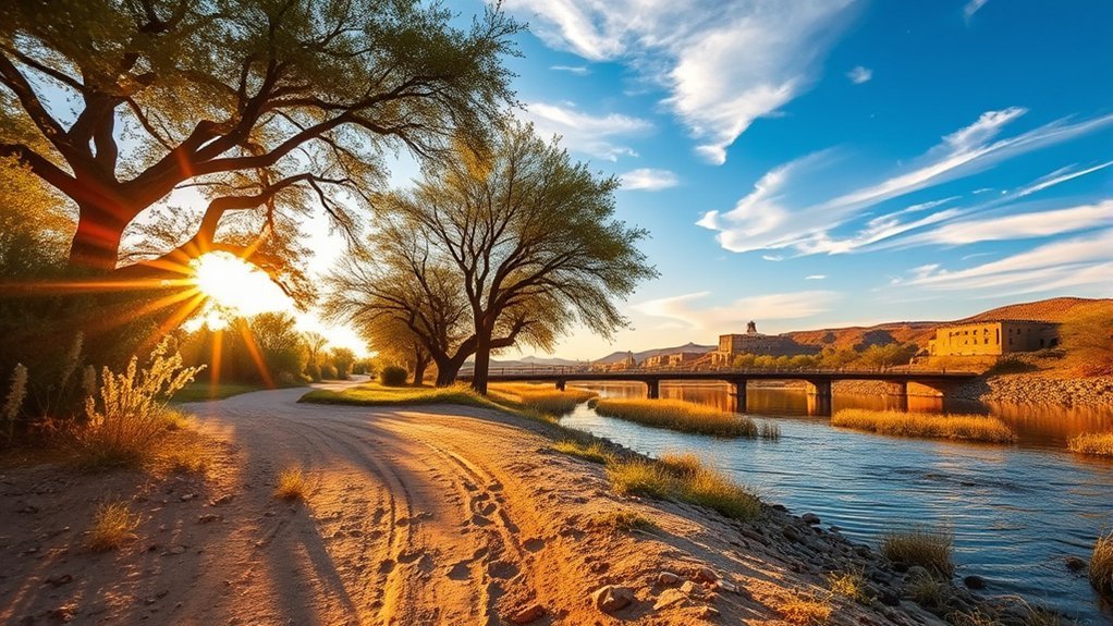
Colorado River State Historic Park preserves Yuma’s historic Quartermaster Depot, so think of it as a history stop rather than a dedicated hiking-trail system. For the walking portion of your visit, continue to Yuma’s nearby Colorado River parks and riverfront paths.
West Wetlands Park is a particularly useful choice when you want an easy outing without committing to a desert mountain hike. The riverfront setting, restored native vegetation, and connected walking areas make it easy to adjust the distance to your available time and energy.
This is also one of the better categories of Yuma outing for a mixed-ability group because you can turn around whenever necessary rather than reaching a remote summit before beginning your return. Bring water and sun protection even for short walks because exposed sections can still become hot quickly.
Pro Tip: If you are visiting Yuma during hot weather, use the riverfront parks for your easiest outdoor option and save exposed desert climbs for a cool morning or a cooler season.
Yuma East Wetlands Hiking Trail
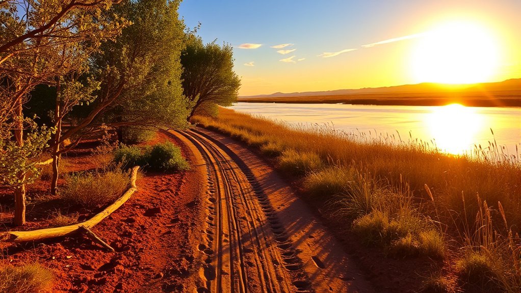
The Yuma East Wetlands restore a large stretch of Colorado River habitat just beyond Yuma’s urban core. This is one of the area’s strongest choices for birding, casual walking, and seeing the contrast between riparian vegetation and surrounding desert.
The Yuma Crossing National Heritage Area’s waterfront map shows a signed hiking route through the East Wetlands along with connected riverfront paths. Rather than relying on the unsupported “Gateway Trail” name, follow the current on-site signs and mapped wetland route.
Expect a mix of open views, restored vegetation, wetland habitat, and birding opportunities. Early morning usually gives you the most comfortable temperatures and quieter wildlife viewing. Carry water, insect protection when conditions warrant it, and sun protection for open sections.
Martinez Lake and Fisher’s Landing Walks
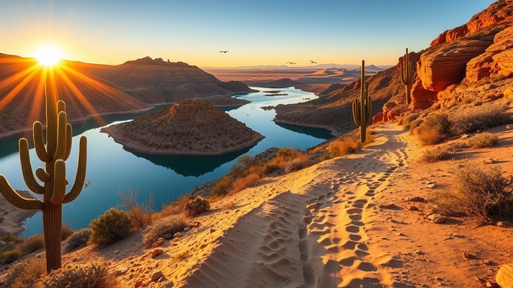
Martinez Lake is better treated as a flexible lakeside walking and birding destination than as a fixed 3- to 4-mile loop. The Arizona Birding Trail’s Martinez Lake and Fisher’s Landing site identifies hiking opportunities and an elevated viewpoint in the Fisher’s Landing area.
Choose a short out-and-back based on the access points available when you arrive. The attraction here is the change of scenery: open water, shoreline habitat, desert vegetation, and a strong chance to slow down and watch birds rather than chase a summit.
Wear footwear that can handle loose dirt or sandy ground, keep plenty of water in the vehicle, and avoid creating a route across private, closed, or environmentally sensitive ground. Because there is no need to commit to a single published loop, this area works well when you want to control the length of your outing.
Mittry Lake Wildlife Area
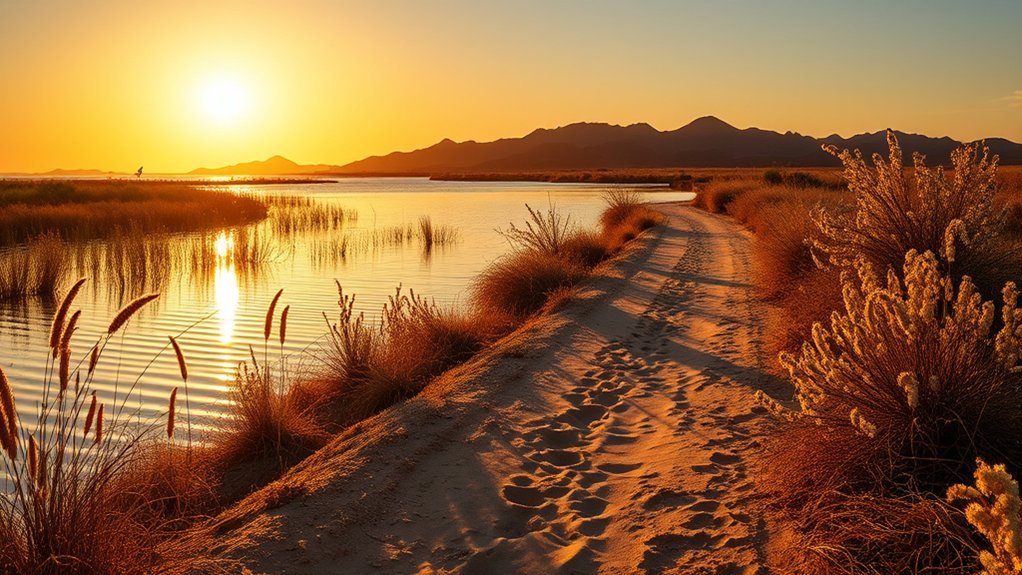
Mittry Lake Wildlife Area combines open water, marsh habitat, and desert uplands. BLM lists hiking, birding, fishing, boating, and wildlife viewing among the area’s recreation opportunities. It is a good alternative when you want nature and birdlife without a steep mountain climb.
Do not expect the specific under-2-mile boardwalk loop described in the original version of this guide. BLM presents Mittry Lake as a broad recreation and wildlife area rather than a single named “Nature Path.” Plan a conservative out-and-back from an established access area, watch your footing around wet or uneven ground, and carry everything you need for the walk.
| Feature | What to expect |
|---|---|
| Route style | Flexible out-and-back walking |
| Terrain | Unpaved wetland and desert-edge terrain |
| Wildlife | Waterfowl, marsh birds, and desert wildlife |
| Planning | Bring water and plan to be self-sufficient |
Telegraph Pass
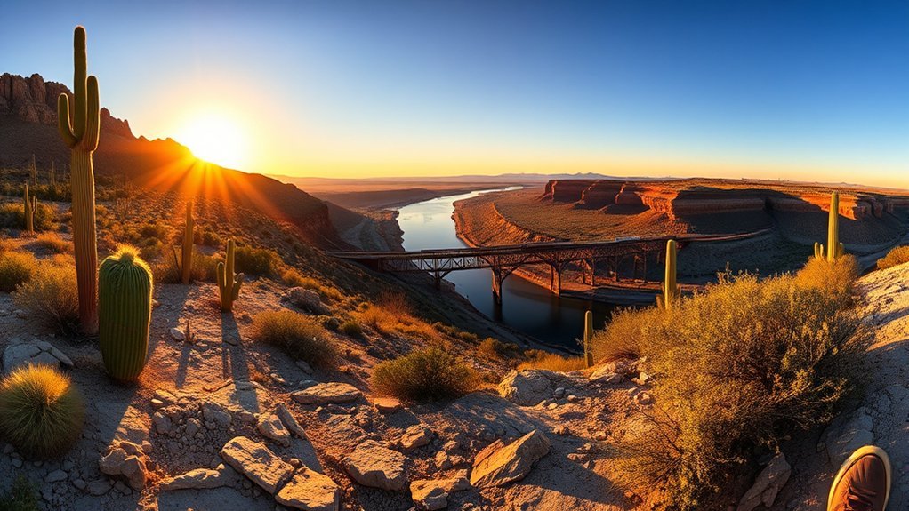
Telegraph Pass is the option to choose when you want a steeper desert workout instead of a flat wetland walk. BLM identifies Telegraph Pass as a hiking trail in the Yuma area. The climb is exposed, so the experience depends heavily on temperature, sun, and your comfort on rocky desert terrain.
The earlier claim that Telegraph Pass leads to a Union Pacific Bridge overlook should not be used to plan the hike. Treat the pass itself as the destination, stay on the current legal route, and respect signs or access controls around private property.
Telegraph Pass is best approached as an exposed desert climb: start cool, carry water, protect yourself from the sun, and turn around before heat or fatigue begins controlling the hike.
- Expect open desert ridgelines and broad views rather than river shade.
- Wear footwear with dependable traction for rocky and loose surfaces.
- Keep to the established legal route rather than creating shortcuts.
- Choose early morning or cool-season conditions for the safest and most comfortable experience.
Muggins Mountain Wilderness
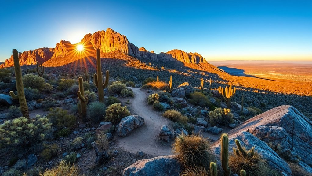
If you want a much more rugged desert experience, Muggins Mountain Wilderness is a documented BLM hiking destination roughly 25 miles east of Yuma. This is wilderness terrain rather than a manicured 2.5-mile summit trail, so navigation ability and self-reliance matter more than chasing a particular mileage number.
Trail Overview
Muggins Mountain Wilderness covers rugged desert mountain country with washes, rock formations, steep slopes, and broad views. BLM recommends high-clearance or four-wheel-drive capability for the access route, which is an important distinction from Yuma’s urban riverfront walks.
Plan a conservative out-and-back matched to your navigation skills. Download or carry a map before leaving reliable service, note where you parked, and establish a firm turnaround time. Wilderness travel should not depend on finding a continuous, heavily signed path.
- Rugged desert rock and mountain terrain.
- Remote washes and ridges with limited shade.
- Broad Sonoran Desert views away from the urban edge.
- A stronger need for navigation and emergency planning than on city trails.
Hike Tips
Start early and avoid this kind of exposed backcountry hiking during dangerous heat. Wear sturdy shoes, carry a paper or offline map in addition to your phone, and tell someone where you are going and when you expect to return. Pack a first-aid kit, sun protection, extra food, and more water than you expect to use.
Designated wilderness also has stricter travel rules than ordinary recreation land. Mechanical transport such as bicycles is generally prohibited in federal wilderness, so treat Muggins Mountain as a foot or permitted stock-travel destination rather than a mountain-bike area.
Senator Wash South Shore
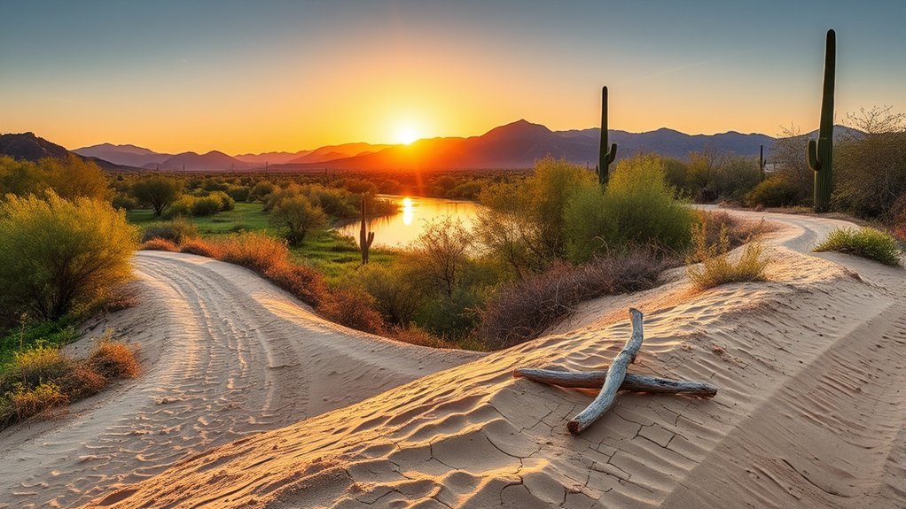
For another lower-effort outing near water, Senator Wash South Shore is a verified BLM recreation site with hiking opportunities, gravel shoreline, and day-use facilities. It is a more reliable Yuma-area recommendation than the unsupported “Gila Bend Riparian Trail” description.
The recreation area covers roughly 50 acres and can work for a short walk, picnic, or waterside break rather than a fixed-distance hike. BLM lists drinking water, restrooms, and showers among the site’s facilities, but you should still arrive with your own water and basic supplies.
BLM currently lists a $10 day-use fee, a $15 overnight fee, and a $75 annual permit for the site. Fees can be revised, so the official BLM page linked above is the controlling source when you plan your visit.
- Choose a short shoreline out-and-back rather than forcing a particular mileage.
- Watch for loose gravel, exposed sun, and changing shoreline conditions.
- Bring binoculars if wildlife viewing is part of your visit.
- Keep your outing conservative when temperatures are high.
Kofa National Wildlife Refuge – Palm Canyon Trail
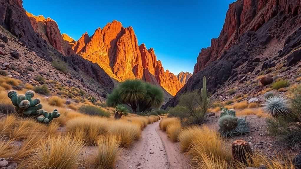
Palm Canyon Trail in Kofa National Wildlife Refuge gives you a short but rocky walk to one of southwest Arizona’s unusual stands of native California fan palms. According to the U.S. Fish and Wildlife Service’s January 2025 Palm Canyon trail brochure, the normal trail is about 0.5 mile one way from the upper parking area.
Allow about an hour for the standard round trip. The route is easy to follow but remains rough because of large rocks and steeper sections. From the signed viewing area, look into the narrow side canyon for the palms.
Getting substantially closer to the palms is a different undertaking. The refuge describes that climb as very rugged and difficult and says it can add roughly 30 to 40 minutes. Do not confuse that scramble with the normal trail.
There is no drinking water or sanitation at the trail, so arrive self-sufficient. The refuge brochure describes the dirt approach from Highway 95 as roughly seven miles and rough in places. Drive according to current road conditions and do not assume ordinary pavement continues to the trailhead.
Note: The palms are visible from the normal trail’s viewing area. You do not need to make the difficult scramble into the side canyon to experience the hike.
Imperial Sand Dunes Recreation Area Walks
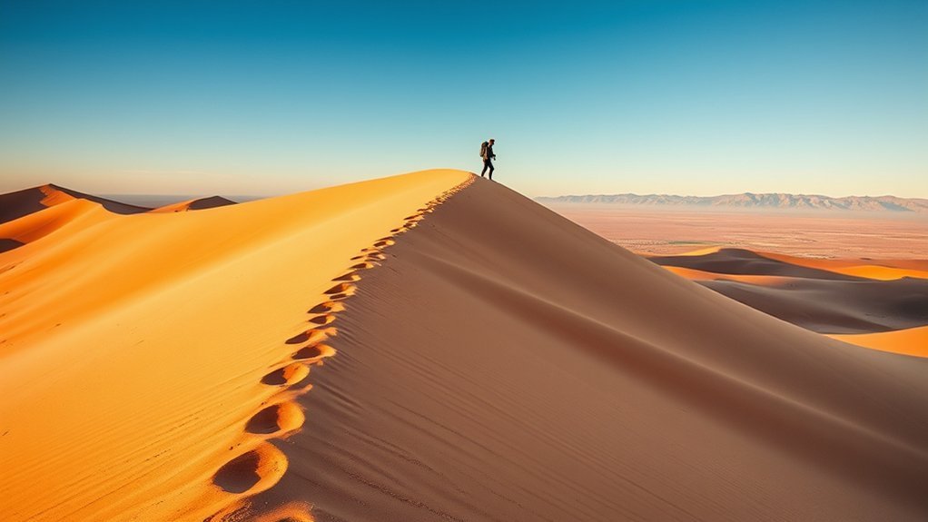
Across the state line in California, the Imperial Sand Dunes Recreation Area gives you a completely different walking surface from Yuma’s rocky trails. There is no official “Edge Walk” that guarantees a flat, firm path. Instead, choose a conservative out-and-back from an appropriate day-use or recreation access point.
Soft sand increases the effort quickly, and there is essentially no natural shade. Morning and late-day light can make the dune shapes especially striking, but visual appeal should not override heat or wind conditions.
The dunes are also a major off-highway-vehicle recreation area. Stay alert, keep well clear of active vehicle travel, and follow all BLM signs and rules. Vehicle flags are required under BLM dune regulations for vehicles operating in the recreation area.
- Expect rapidly changing sand firmness rather than a consistent trail surface.
- Turn back while you still have ample energy for the return through soft sand.
- Keep children and pets well separated from OHV travel areas.
- Use a fixed landmark, GPS track, or compass bearing so featureless dunes do not disorient you.
During the October 1 through April 15 permit season, BLM currently lists recreation permits for primary street-legal vehicles at $55 for an advance weekly permit, $70 for a weekly permit purchased onsite, and $185 for a season permit. BLM also identifies several locations where short-term day use is exempt from the recreation permit. Review the current Imperial Sand Dunes fee rules before driving into the fee area.
El Camino del Diablo Backcountry Route
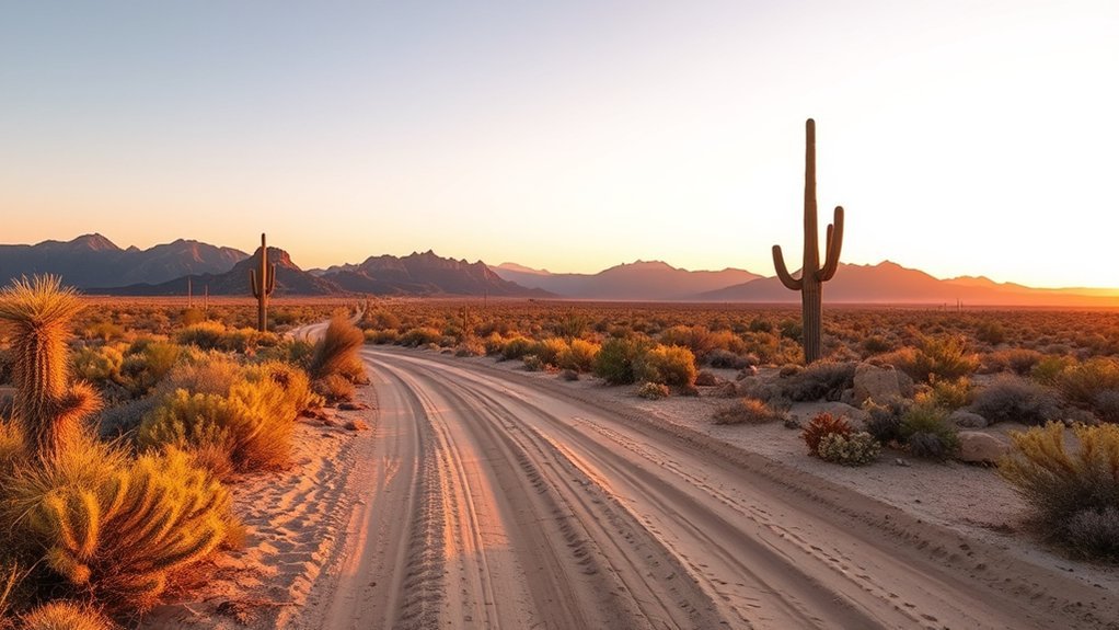
El Camino del Diablo is fundamentally a remote historic backcountry road corridor, not a conventional signed hiking trail. It crosses extremely isolated Sonoran Desert country where vehicle reliability, navigation, communications, permits, and emergency planning can matter more than the distance you walk from the road.
For the Cabeza Prieta National Wildlife Refuge portion, the U.S. Fish and Wildlife Service requires an access permit and directs visitors to the current online RecAccess system. Keep a copy of your permit as required. If your planned route enters Barry M. Goldwater Range public-access land, the 56th Range Management Office also directs recreation visitors to its RecAccess permitting system.
Do not rely on the earlier claim that a generic BLM permit, a separate unspecified vehicle permit, and “desert safety registration” cover the trip. The applicable rules depend on which federal jurisdiction your exact route enters.
Carry offline navigation, emergency supplies, spare vehicle essentials appropriate to your trip, and enough water for delays as well as the planned activity. Leave your itinerary with a reliable contact. Stay on roads and areas legally open to your vehicle, never handle military debris or suspected unexploded ordnance, and do not disturb cultural artifacts.
Best Time to Hike Near Yuma
Cool-season conditions are generally the best fit for Yuma’s exposed mountain, wilderness, and dune hikes. During hotter parts of the year, even a short route can become dangerous because many of these landscapes have little shade and no dependable drinking water.
The National Park Service’s Sonoran Desert hiking guidance advises avoiding intense summer heat from about 10 a.m. to 4 p.m. and notes that hikers on hot, dry summer days may need roughly a quart of water per hour. Your individual needs can vary, so use that as a planning benchmark rather than a guarantee of safety.
Sunrise or early morning is usually the sensible window for Telegraph Pass, Muggins Mountain, Palm Canyon, or dune walking when conditions are warm. Riverfront and wetland outings give you more flexibility, but they still require water and sun protection.
Desert Hiking Safety and What to Bring
- Water: Carry enough for the entire route plus a reserve for delays. Do not assume springs, lakes, canals, or wildlife water are safe or accessible drinking sources.
- Sun protection: Wear a broad-brimmed hat, sunglasses, sunscreen, and light protective clothing.
- Navigation: Carry an offline map or GPS map on remote routes, with a backup method when possible.
- Footwear: Use shoes with secure traction for loose rock, gravel, and sand.
- Communication: Cell service can be unreliable in remote desert terrain. Tell someone your route and expected return time.
- Turnaround plan: Turn back early if heat, fatigue, navigation uncertainty, weather, road conditions, or water consumption develops differently from your plan.
- Flash-flood awareness: Avoid narrow washes and canyon bottoms when storms threaten locally or upstream.
- Leave No Trace: Pack out waste, avoid damaging desert plants, leave cultural objects where you find them, and observe wildlife from a distance.
Frequently Asked Questions
Are There Guided Tours Available for Any of These Trails?
Do not assume every trail has a scheduled guide. Programs vary by season and land manager. Check current event listings from Arizona State Parks, Yuma Crossing National Heritage Area, U.S. Fish and Wildlife Service, BLM, and Visit Yuma when you want a ranger program, history walk, or organized nature activity.
What Permits Are Required for Backcountry Routes Like El Camino del Diablo?
Cabeza Prieta National Wildlife Refuge requires an access permit, available through the current RecAccess system. Barry M. Goldwater Range public-access areas also have range-access requirements administered by the military. Use the FWS and 56th Range Management Office links in the El Camino section to obtain the permit that applies to your route.
Are Dogs Allowed on These Hikes and Are There Leash Rules?
Rules vary by land manager. Cabeza Prieta requires pets to be leashed, and Kofa’s visitor guidance advises keeping pets leashed while emphasizing that harsh desert conditions may be unsuitable for them. Check the specific site’s rule page before bringing a dog, carry separate water for the animal, and avoid hot ground and dangerous temperatures.
What Are the Nearest Medical Facilities for Emergencies?
For a life-threatening emergency, call 911 when service is available. Onvida Health Yuma Medical Center provides 24-hour emergency care in Yuma and operates a Level III Trauma Center. Onvida Health also operates a 24-hour emergency facility at its Foothills Medical Plaza. Remote routes may be far from rapid help, which is why itinerary and communication planning matters.
Which Trails Are Suitable for Mountain Biking or Horseback Riding?
Yuma’s riverfront recreation network is a better starting point for multi-use activity than the wilderness routes in this guide. West Wetlands includes an equestrian trail, and the riverfront network includes multi-use paths. Bicycles are generally prohibited in federally designated wilderness, including the type of terrain found at Muggins Mountain Wilderness. Follow posted rules for each site rather than assuming hiking access also permits bicycles or horses.
What Is the Easiest Hike Near Yuma?
For most visitors, a flexible riverfront walk through West Wetlands or the Yuma East Wetlands is easier than Telegraph Pass, Palm Canyon, or a wilderness route. You can control your distance, stay close to town, and turn around without committing to a summit or remote backcountry drive.
When Is the Best Time of Day to Hike Around Yuma?
Early morning is usually the safest choice for exposed routes when temperatures are warm. In summer, avoid treating midday as a normal hiking window. If an excessive-heat warning or dangerous forecast is in effect, choose a cooler-day activity rather than trying to compensate with more water.
Conclusion
Yuma’s hiking variety comes from contrast. You can spend an easy morning beside restored Colorado River habitat, climb Telegraph Pass for an exposed desert workout, walk into Palm Canyon to see native fan palms, or plan a much more demanding backcountry trip into Muggins Mountain Wilderness or El Camino del Diablo.
The key is matching the outing to the conditions. Riverfront and wetland walks give you the most flexibility. Mountain, wilderness, dune, and backcountry routes demand progressively more attention to heat, navigation, access, and self-sufficiency. Start early when temperatures are warm, carry the supplies your route requires, and be willing to choose the easier option when the desert is hotter or rougher than expected.
Sources
- Yuma Crossing National Heritage Area – Waterfront Parks and Trails Map – riverfront, West Wetlands, and East Wetlands trail context.
- Bureau of Land Management – Mittry Lake Wildlife Area – recreation activities and official site information.
- Bureau of Land Management – Muggins Mountain Wilderness – wilderness hiking, location, and access guidance.
- U.S. Fish and Wildlife Service – Palm Canyon Trail Brochure – official distance, difficulty, facilities, road access, and palm-viewing guidance.
- Bureau of Land Management – Imperial Sand Dunes Recreation Area – hiking access, seasonal recreation permits, and visitor information.
- U.S. Fish and Wildlife Service – Cabeza Prieta Rules and Policies – permit, pet, access, and backcountry rules relevant to El Camino del Diablo.