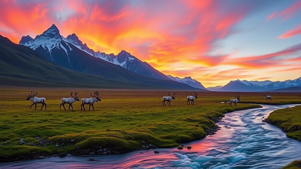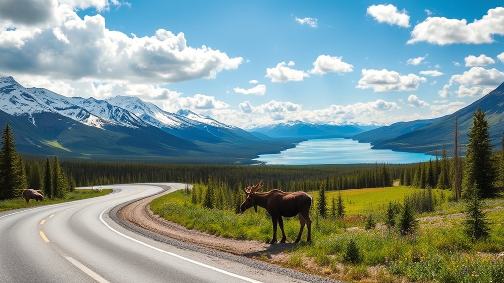
If you want to experience Alaska by road, the best scenic drives in Alaska range from easy paved highways to remote gravel routes that are open only part of the year. The Seward Highway delivers the strongest mix of coast, mountains, wildlife, and easy access, while the Glenn, Richardson, and Parks highways lead deeper into Alaska’s mountain and tundra landscapes. More remote options such as Hatcher Pass, the Top of the World Highway, Kodiak’s road system, and the Copper River Highway require more planning.
Quick Answer
For a first Alaska road trip, prioritize the Seward Highway for coastal scenery, the Glenn–Richardson corridor for glaciers and mountain passes, and the Parks Highway for access to Denali National Park. Hatcher Pass, Top of the World, Kodiak, and Copper River offer wilder drives but have more seasonal or road-condition limits.
Last checked: September 30, 2026. Dates and figures were verified against official sources.
Key Takeaways
- Denali Park Road is 92 miles long, but normal visitor access is much shorter; 2026 bus service stopped at Mile 43 because of the Pretty Rocks project.
- Hatcher Pass summit road is a rough seasonal gravel drive, while the Palmer side remains much more accessible.
- The international Top of the World route is seasonal; its Little Gold Creek border crossing closed September 15 for the 2026 season.
- The Copper River Highway cannot currently be driven to the Million Dollar Bridge because the road is blocked at Mile 36.
Seward Highway: One of the Best Scenic Drives in Alaska
The Seward Highway is the easiest choice if you want dramatic Alaska scenery without committing to a remote gravel road. The 127-mile route runs from Anchorage to Seward, following Turnagain Arm before crossing mountain country toward Kenai Lake and Resurrection Bay.
The first part of the drive keeps the Chugach Mountains on one side and the tidal waters of Turnagain Arm on the other. Beluga whales, Dall sheep, waterfalls, and eagles may be visible from established pullouts, while Girdwood and the Portage area make practical stops before the highway turns toward the Kenai Peninsula.
Farther south, the landscape shifts from coastal cliffs to forests, lakes, and mountain passes. Kenai Lake appears before you reach Seward, where the road ends near Resurrection Bay and the gateway to Kenai Fjords National Park. The official Travel Alaska road-trip guide recommends allowing more than a simple point-to-point drive if you want time for stops, hikes, and wildlife viewing.
Use designated pullouts rather than stopping in a traffic lane for photos or animals. Weather can change quickly around Turnagain Arm and mountain passes, so leave extra time even though the route itself is paved.
Glenn Highway: Majestic Mountain and Glacier Views
The Glenn Highway is the scenic route to choose if you want river valleys, glaciers, and broad mountain views while traveling east from Anchorage. It follows the Matanuska Valley toward Glennallen and connects naturally with the Richardson Highway for a longer trip to Valdez.
After leaving the Anchorage area, the road passes through Palmer and follows the Matanuska River into increasingly rugged country. The Chugach and Talkeetna mountains frame much of the drive, while Matanuska Glacier becomes one of the route’s defining landmarks.
As the highway climbs toward the higher country around Eureka, forests give way to wider tundra views. Clear days can reveal several mountain ranges at once. The route is especially useful for travelers who want to combine Southcentral Alaska with Copper Center, Wrangell-St. Elias country, Thompson Pass, or Valdez.
Plan fuel and meal stops before long stretches between communities. The road is a major state highway, but services become less frequent as you travel away from Anchorage and Palmer.
Denali Park Road: Gateway to the Wilderness
Denali Park Road provides some of Alaska’s strongest wildlife and tundra scenery, but it is not a normal 92-mile self-drive route. The road extends 92 miles into Denali National Park, yet private-vehicle access and bus limits depend on season, weather, and park operations.
During the 2026 summer season, tour and transit buses traveled only as far as East Fork at Mile 43 because of the Pretty Rocks landslide project. Bus service ended September 17. Beginning September 18, personal vehicles were allowed as far as Teklanika at Mile 30 when conditions permitted, although snow or ice could force earlier closures. The National Park Service current-conditions page says full bus service along the road is expected to resume in 2027.
| Wildlife | Viewing Notes |
|---|---|
| Grizzly Bears | Possible along open tundra and river corridors; never approach |
| Moose | Often associated with brushy and lower-elevation habitat |
| Caribou | Watch open tundra and broad valleys from the road or bus |
| Wolves | Sightings are possible but unpredictable |
In the main bus season, most private vehicles normally turn around at Savage River, Mile 15. Denali is therefore best treated as a park-road excursion rather than a conventional scenic highway. Keep your distance from wildlife and follow current park restrictions rather than trying to reach a particular mile marker.
Richardson Highway: Historic and Scenic
The Richardson Highway combines mountain passes, glaciers, river valleys, Alaska history, and long-distance road-trip scenery. The most dramatic section for many visitors is between Valdez and Glennallen, where the road crosses Thompson Pass, passes Worthington Glacier, and drops through Keystone Canyon.
North of the Valdez area, the route continues through the Copper River Basin and eventually toward Interior Alaska. This makes it useful as both a destination drive and a connecting route between the Glenn Highway, Wrangell-St. Elias region, Delta Junction, and Fairbanks.
Historic Landmarks Along the Route
The Richardson corridor tells much of Alaska’s transportation story. It began as an important overland route and remains closely tied to mining, military travel, the pipeline, and communities of the Interior.
- The Trans-Alaska Pipeline: The pipeline appears beside or near the highway in several areas and creates a striking contrast with the surrounding wilderness.
- Fort Wainwright: Near the Fairbanks end of the corridor, the military installation reflects the region’s long strategic history.
- The Old Valdez Townsite: Near Valdez, the former townsite preserves the story of the community that was relocated after the 1964 earthquake.
- The Tonsina River Bridge: The Richardson Highway crosses the Tonsina River in the Copper River Basin, an area that remains part of the route’s long transportation corridor.
Breathtaking Natural Landscapes
The Richardson Highway changes character repeatedly, which is a major part of its appeal. Near Valdez, steep mountains, waterfalls, and glaciers dominate. Farther inland, the road opens into broad river valleys with views toward the Wrangell and Alaska ranges.
Thompson Pass is one of the signature sections, especially when mountain slopes remain streaked with snow. Worthington Glacier lies close to the highway, while Keystone Canyon compresses the road between steep rock walls and waterfalls before the final approach to Valdez.
Wildlife Viewing Opportunities
The Richardson corridor crosses several habitats, so wildlife can include moose, Dall sheep, eagles, bears, and caribou depending on location and season. Sightings are never guaranteed, and the safest approach is to use established pullouts rather than stopping suddenly in the roadway.
- Moose may appear in wetlands, willow areas, and roadside meadows.
- Dall sheep can occupy steep mountain terrain.
- Bald eagles are common around waterways where food is available.
- Caribou may be encountered in open country farther inland.
Parks Highway: Heart of Alaska
The Parks Highway is the main road-trip corridor between Southcentral and Interior Alaska and the most practical highway for reaching Denali National Park. The drive links the Anchorage and Wasilla area with Talkeetna, Denali State Park, Denali National Park, Healy, Nenana, and Fairbanks.
The scenery changes from forested valleys and river country to wide views of the Alaska Range. Clear weather can reveal North America’s tallest mountain from several viewpoints, especially around Denali State Park and the northern Susitna Valley.
Scenic Highlights Along the Highway
The Parks Highway works well when the drive itself is part of a multi-day itinerary. Talkeetna makes a useful detour, while Denali State Park offers mountain views, trails, lakes, and camping before you reach the national park entrance farther north.
- Broad views of the Alaska Range on clear days
- The Susitna and Nenana river valleys
- Forest, wetlands, and open tundra as elevation and latitude change
- Easy road access to communities with fuel, lodging, and food
Allow extra time for viewpoints rather than treating Anchorage to Fairbanks as one uninterrupted drive. Clouds can hide the highest peaks for hours, so the best views may come unexpectedly.
Wildlife Viewing Opportunities
Moose, bears, eagles, and other wildlife may appear along the Parks Highway, but roadside wildlife creates a traffic hazard as well as a photo opportunity. Slow down safely, use proper parking areas, and never stop in an active lane because another driver may not see the animal or your vehicle in time.
Denali National Park offers more controlled wildlife-viewing opportunities once you reach the park road. The park’s bus system also lets you concentrate on the landscape instead of watching traffic.
Access to Denali National Park
The Parks Highway directly serves Denali National Park and Preserve. It does not provide direct access to Wrangell-St. Elias National Park; that region is reached from the Glenn and Richardson highway corridor instead.
The park entrance lies just off the Parks Highway, making this route the logical choice if Denali is the main purpose of your road trip. Denali State Park lies south of the national park and provides additional viewpoints and recreation areas along the same highway corridor.
Hatcher Pass: A High-Alpine Scenic Drive
Hatcher Pass offers one of the most dramatic short mountain drives near Anchorage, but the complete summit crossing is seasonal. The Palmer side reaches Independence Mine through a largely paved approach, while the road beyond the mine becomes narrow, steep, rough, and gravel.
According to Alaska State Parks guidance for Hatcher Pass, the summit section from roughly Mile 17.5 to Mile 32.5 is not maintained in winter and generally opens around July 1 through September 15, depending on snow. RVs and other large vehicles are not recommended on that rough section.
The main attractions are alpine valleys, Summit Lake, hiking trailheads, wildflowers, and Independence Mine State Historical Park. You do not need to drive the full pass to enjoy the scenery; the Palmer approach to the mine provides a strong day trip even when the summit road is closed.
In winter, the lower approach remains useful for recreation, but conditions are very different from a summer sightseeing drive. Four-wheel drive is recommended during the winter season, and the final mile toward Independence Mine is closed to normal vehicle access in winter.
Kenai Peninsula Road Trip: Seward, Homer, and Breathtaking Shorelines
The Kenai Peninsula is best explored as a multi-day road trip using the Seward and Sterling highways rather than as one formally named loop. A common route combines Anchorage, Seward, Cooper Landing, Soldotna or Kenai, Homer, and the return drive to Anchorage.
On the eastern side, the Seward Highway leads through mountains and Kenai Lake to Resurrection Bay. From the Sterling Highway junction, the road follows the Kenai River toward Cooper Landing and eventually reaches the flatter western side of the peninsula.
South of the Kenai and Soldotna area, the Sterling Highway follows Cook Inlet toward Homer. On clear days, mountains and volcanoes rise across the water. Near the end of the road, Kachemak Bay and the Homer Spit provide a completely different coastal landscape from Seward.
- Kenai Lake and mountain scenery near Cooper Landing
- The Kenai River corridor
- Cook Inlet views and distant volcanoes
- Kachemak Bay and the Homer Spit
This route works better over several days than as a rushed circuit. Seward and Homer both reward at least an overnight stop because many of their best experiences require time away from the highway.
Top of the World Highway: A Seasonal International Drive
The Top of the World Highway is one of the most unusual Alaska road trips because it follows high ridges toward the Yukon and crosses an international border. The Alaska side connects with the Taylor Highway near Jack Wade Junction and continues to the Poker Creek–Little Gold Creek crossing.
The route is mostly gravel, remote, and subject to seasonal closure. For 2026, Canada’s Little Gold Creek port of entry closed September 15. The crossing is therefore closed as of this article’s September 30, 2026 verification date, with reopening planned for the 2027 season.
Warning: The Taylor and Top of the World highways have long stretches with limited services, unreliable cell coverage, gravel surfaces, steep grades, and no normal winter maintenance. Carry food, water, a usable spare tire, warm clothing, and enough fuel for remote travel.
Stunning Panoramic Views
The road earns its name from long stretches that stay high on ridges rather than following valley floors. That position opens broad views of rolling uplands, distant mountains, river valleys, and the horizon toward the Yukon.
- High ridgelines with long sightlines
- Open tundra and subalpine terrain
- Views toward the Alaska Range and eastern interior
- Historic mining country around Chicken and the Fortymile region
The road surface and weather matter as much as the scenery. Rain can quickly change gravel conditions, so the drive requires more time than the mileage alone suggests.
Wildlife Spotting Opportunities
Moose, caribou, bears, Dall sheep, and eagles may be seen in the wider Taylor and Top of the World region. The open country improves sightlines in some areas, but wildlife can also appear suddenly on the roadway.
Use pullouts where available and stay inside the vehicle when an animal is close. Do not approach wildlife for a better photograph, especially on a remote road where emergency help may be far away.
Kodiak Island: Rugged Coastal Road-System Beauty
Kodiak does not have one long cross-island highway. Instead, travelers can explore more than 100 miles of paved and gravel roads extending from the city into coastal, forest, beach, river, and mountain landscapes.
The official Travel Alaska guide to Kodiak describes roads leading to isolated beaches, fishing areas, campgrounds, and coastal viewpoints. Some sections are normal passenger-car roads, while rougher tracks may require four-wheel drive.
- Towering coastal slopes above bays and beaches
- Spruce forest, grasslands, rivers, and open shoreline
- Road-accessible fishing and recreation areas
- Opportunities to see bald eagles, marine wildlife, and occasionally Kodiak brown bears
Roadside bear sightings are possible, but do not assume the highway system is a dependable bear-viewing tour. If a bear appears, use a designated pullout or parking area and remain well away from the animal. Much of Kodiak National Wildlife Refuge itself has no road access, so boats and aircraft are still essential for many remote locations.
Copper River Highway: A Scenic Journey With a Major Access Limit
The Copper River Highway begins near Cordova and crosses the wildlife-rich Copper River Delta, but today it is a partial scenic drive rather than a through route. A failed bridge at Mile 36 blocks vehicle access to the farther portion of the historic corridor.
The Alaska DOT&PF Copper River Highway page describes the lower 52 miles of the former railroad corridor but confirms that the failed bridge at Mile 36 is not passable. That means you cannot currently drive from Cordova to the Million Dollar Bridge or Childs Glacier.
| Feature | Current Detail |
|---|---|
| Length | Historic corridor extends about 52 miles; normal road access currently ends at Mile 36 |
| Best Time to Visit | Late spring to early fall for the easiest driving conditions |
| Scenic Highlights | Copper River Delta, wetlands, rivers, forests, and mountain views |
| Wildlife Viewing | Birds, eagles, moose, and other wildlife may be seen along the accessible corridor |
| Nearby Attractions | Cordova and the Copper River Delta |
Sections of the road beyond Cordova also receive no normal winter maintenance. Before driving, review the current Alaska 511 road-condition reports, especially outside the main summer season.
The accessible section is still worthwhile for wetlands, mountain views, birding, fishing access, and quiet scenery. Just plan it as an out-and-back drive from Cordova rather than a route connecting to Chitina or Copper Center.
Frequently Asked Questions
What Is the Best Time of Year for Scenic Drives in Alaska?
Late May through early September gives you the widest choice of Alaska scenic drives, but each road has different limits. Major paved highways operate beyond summer, while Hatcher Pass, Top of the World, and other remote routes may close or lose regular maintenance when snow returns.
Are There Any Tolls on Alaska’s Scenic Highways?
Alaska’s scenic highways do not generally use toll booths, but the Anton Anderson Memorial Tunnel to Whittier is a separate toll facility. That matters if you detour from the Seward Highway toward Whittier, so include the tunnel schedule and toll in that specific trip plan.
Can I Rent an RV for These Scenic Drives?
Yes, RV rentals are available in Alaska, but the rental agreement matters more than the vehicle type. Some companies restrict travel on rough or unpaved roads, so confirm permission before taking an RV onto Hatcher Pass, Taylor Highway, Top of the World Highway, or other gravel routes.
Are There Accommodations Along These Scenic Routes?
Yes, the major routes pass towns with hotels, cabins, campgrounds, restaurants, and fuel, but remote stretches have far fewer services. Seward, Homer, Talkeetna, Denali Park, Fairbanks, Glennallen, Valdez, Kodiak, and Cordova all work as overnight bases for the drives covered here.
What Wildlife Can I Expect to See on These Drives?
Possible sightings include moose, bears, caribou, Dall sheep, bald eagles, beluga whales, seals, and sea otters, depending on the route and habitat. Wildlife is never guaranteed, so use safe pullouts, remain well back, and never stop in an active traffic lane just for a photograph.
Sources
- Travel Alaska — The 4 Best Road Trips in Alaska: Seward, Sterling, Parks, Glenn, Richardson, and Kenai Peninsula route planning.
- National Park Service — Denali Current Conditions: 2026 Park Road access, Mile 43 bus limit, fall private-vehicle access, and 2027 planning.
- Alaska State Parks — Hatcher Pass East Management Area: seasonal road opening, gravel section, winter access, and large-vehicle guidance.
- Canada Border Services Agency — Little Gold Creek: September 15, 2026 seasonal closure and border-crossing information.
- Travel Alaska — Kodiak: Kodiak road-system length, road surfaces, scenery, and recreation access.
- Alaska DOT&PF — Copper River Highway: scenic corridor information and the impassable bridge at Mile 36.
- Alaska 511 — Road Conditions: current road-surface, closure, maintenance, and weather-condition reporting.
- Alaska DOT&PF — Whittier Tunnel: toll-facility and seasonal tunnel-schedule information.