Chiricahua National Monument can feel hard to plan because it sits far from major cities, yet the best sights reward you fast. You’ll find hoodoos, short nature trails, longer canyon routes, quiet wildlife areas, and some of Arizona’s darkest skies in one compact park. Use this guide to plan your route, choose the right hikes, pack well, and avoid the easy-to-miss details that shape a better visit.
What’s in This Article
- About Chiricahua National Monument and Where It Is
- History and Cultural Highlights
- Geology: The Hoodoos and How They Formed
- Planning Your Visit: Hours, Fees, and Getting There
- Hiking Trails and Scenic Drives
- Camping, Lodging, and Nearby Services
- What to Pack Before You Go
- Wildlife, Birdwatching, and Seasonal Events
- Night Skies, Stargazing, and Ranger Programs
- Frequently Asked Questions
- Conclusion
Quick Answer
Chiricahua National Monument is a remote park in southeastern Arizona known for rhyolite hoodoos, scenic drives, hiking trails, wildlife, and dark skies. Plan at least half a day for Bonita Canyon Drive and Massai Point, or a full day if you want to hike Echo Canyon or Heart of Rocks. Bring food, water, fuel, sun protection, and offline maps because nearby services are limited.
Key Takeaways
- Start at the visitor center for maps, trail updates, campground details, and ranger program schedules.
- Drive Bonita Canyon Drive to reach Massai Point, one of the easiest viewpoints in the monument.
- Choose Massai Point Nature Trail for an easy walk or Echo Canyon Loop for a stronger hike.
- Pack food, water, and fuel before you arrive because Willcox offers the closest major services.
- Visit near a new moon if you want the best chance for clear Milky Way views.
About Chiricahua National Monument and Where It Is
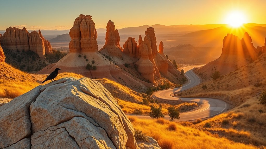
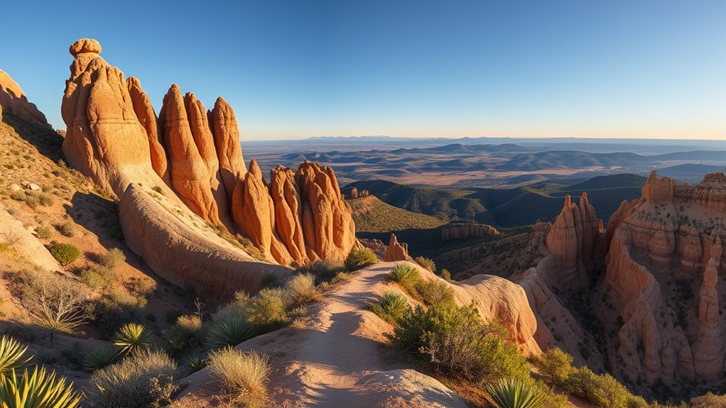
Chiricahua National Monument sits in southeastern Arizona, about 70 miles from the Mexican border and about 120 miles from Tucson. The monument protects more than 12,000 acres of rhyolite hoodoos, spires, balanced rocks, canyons, and oak woodland.
You’ll find a striking landscape shaped by ancient volcanic activity, erosion, and elevation changes. The monument was established in 1924 to protect these rock formations and the cultural stories tied to the land.
The closest town with many visitor services is Willcox, about 37 miles northwest. Because Chiricahua sits where desert, mountain, and woodland habitats meet, you can see a wide range of plants and wildlife in a small area.
History and Cultural Highlights
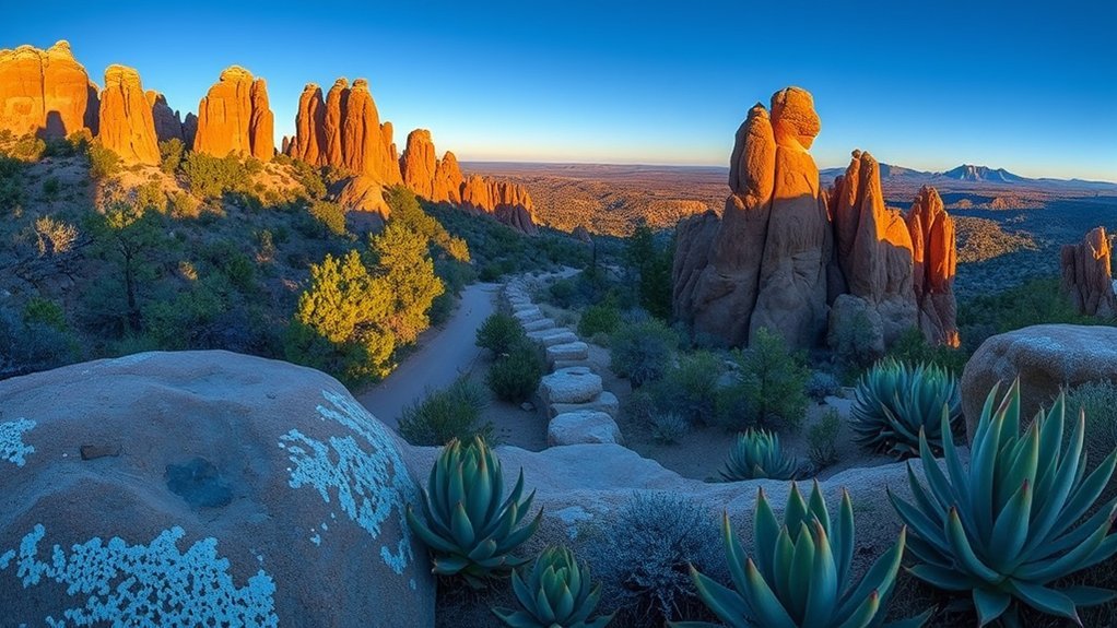
You’ll encounter stories of Chiricahua Apache heritage throughout the monument. Many accounts connect this place with the phrase “Land of Standing-Up Rocks,” a fitting name for its tall stone columns and rugged canyons.
You’ll also learn how Faraway Ranch helped early travelers experience the area before and after the monument’s creation. Together, Indigenous history, ranching history, and early tourism show how many people shaped this remote landscape.
Chiricahua Apache Heritage
People have lived in and moved through this region for thousands of years. For the Chiricahua Apache, these mountains form part of a homeland tied to movement, shelter, food, water, and defense.
Leaders such as Cochise, Geronimo, and Mangas Coloradas shaped the region’s 19th-century history during conflicts with Mexican and United States forces. As you visit, use exhibits, ranger talks, and trail signs to place the rock formations within a deeper human story.
- Respect cultural places and stay on marked trails.
- Learn the stories of Apache leaders with care and context.
- Connect wildlife, water, and seasonal movement to the region’s history.
Faraway Ranch History
Faraway Ranch began as a family homestead and later became a guest ranch near Bonita Creek. You can learn how the Erickson and Riggs families hosted travelers who came to see the rock formations.
The ranch area includes historic buildings, family spaces, and ranch structures that help explain pioneer life and early tourism. Ranger-led programs often connect the ranch story with the wider monument landscape.
The site also sits within a place with older Indigenous history, so treat it as more than a ranch stop. It offers a layered view of settlement, tourism, and memory in southeastern Arizona.
Geology: The Hoodoos and How They Formed
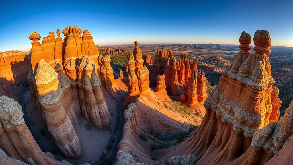
Chiricahua’s hoodoos began with a huge volcanic event about 27 million years ago. Ash, pumice, and hot volcanic material settled across the region and later hardened into rhyolite tuff.
Over time, water, wind, ice, and gravity carved cracks in the rock. Those forces shaped columns, pinnacles, grottos, fins, and balanced rocks across the area known as the Wonderland of Rocks.
- Deposition: Volcanic ash and pumice settled across the landscape.
- Hardening: Heat, pressure, and time formed layers of durable tuff.
- Erosion: Rain, frost, wind, and gravity carved the rock into hoodoos and spires.
Note: Hoodoos can look solid from a distance, but the rock remains fragile, so stay off closed areas and avoid climbing formations.
Planning Your Visit: Hours, Fees, and Getting There
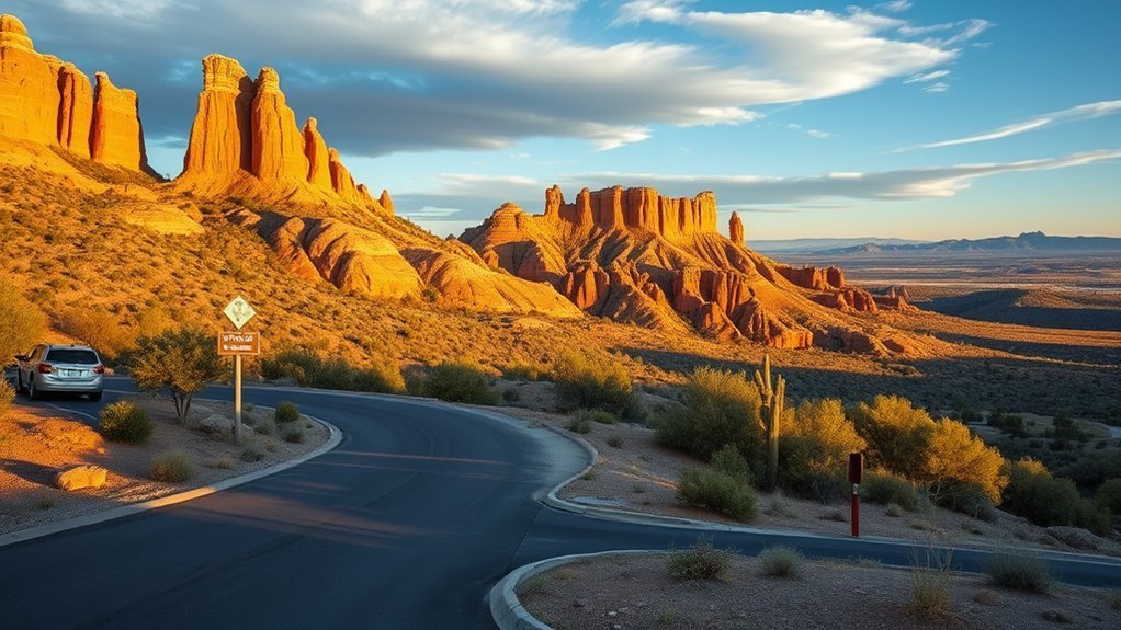
Chiricahua National Monument stays open every day, but visitor center hours can change by season, staffing, weather, or maintenance. Check posted hours before you drive, especially if you need maps, permits, campground help, or ranger program details.
The monument does not charge an entrance fee. You should still plan your fuel, food, and water before arrival because services inside the park stay limited.
Most visitors from Tucson take Interstate 10 east toward Willcox, then use Arizona State Route 186 and Arizona State Route 181. Roads can feel remote, so download maps before you lose service.
- Nearest full-service town: Willcox, about 37 miles northwest.
- Main scenic road: Bonita Canyon Drive.
- Best first stop: The visitor center for maps and current trail alerts.
- Best planning habit: Arrive with a full tank and plenty of water.
Warning: Summer heat, flash flooding, snow, ice, and wildfire restrictions can affect trails and roads, so check conditions before you enter the canyon.
Hiking Trails and Scenic Drives
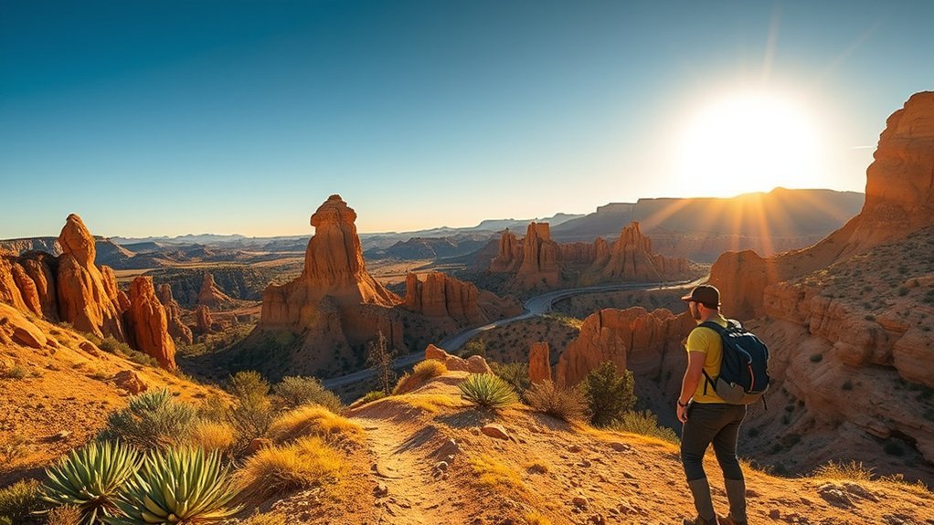
Chiricahua offers about 17 miles of day-use trails and an 8-mile scenic road through Bonita Canyon. Together, they show you hoodoos, balanced rocks, forested slopes, and wide views of nearby mountain ranges.
Massai Point Nature Trail works well if you want an easy walk near the end of the scenic drive. Echo Canyon Loop gives you a stronger hike through grottos, narrow rock passages, and open views.
Bonita Canyon Drive climbs from the lower canyon toward Massai Point. Stop at pullouts and picnic areas, then allow time for short walks instead of rushing to the overlook.
- Massai Point Nature Trail: Choose this short route for easy views and rock formation details.
- Echo Canyon Loop Trail: Choose this moderate loop for grottos, hoodoos, and varied terrain.
- Heart of Rocks area: Choose this longer route only if you have enough time, water, and stamina.
- Bonita Canyon Drive: Choose this scenic drive for overlooks, picnic stops, and quick access to Massai Point.
Pro tip: Hike early in the morning for cooler air, better light, and a stronger chance of seeing wildlife.
Camping, Lodging, and Nearby Services
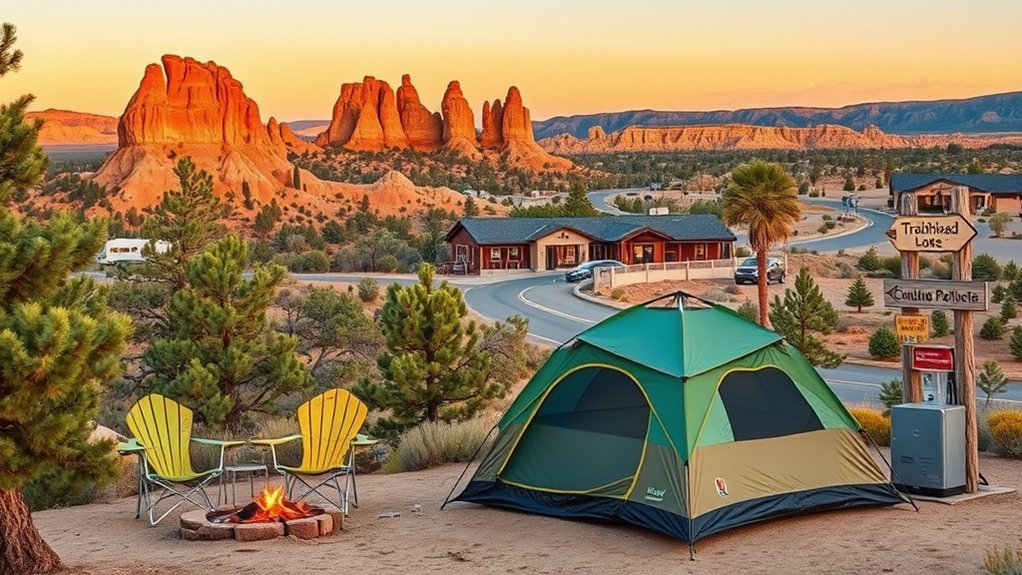
Bonita Canyon Campground is the only campground inside the monument. It offers a small number of sites with basic facilities such as restrooms, water, picnic tables, and fire rings where allowed.
You should reserve a campsite before you arrive because sites can fill during busy seasons. Always check current campground rules, fees, and fire restrictions before you pack firewood or cooking gear.
The park has no restaurants, grocery stores, or gas stations. Willcox offers motels, restaurants, fuel, and supplies, so many visitors use it as a base before driving to the monument.
Some travelers also look for lodging in nearby communities or camp in surrounding public lands where rules allow it. Check land status first because rules change across National Park Service, forest, private, and state lands.
What to Pack Before You Go
Chiricahua’s remote location makes packing more important than it may seem on a map. You’ll enjoy the visit more when you bring the basics before you leave Willcox or Tucson.
- Bring more drinking water than you think you’ll need.
- Pack snacks or meals because the monument has no dining facilities.
- Carry sun protection, layers, and rain gear for fast weather changes.
- Download offline maps and save key directions before arrival.
- Use sturdy shoes if you plan to hike rocky trails.
- Bring binoculars if you enjoy birds, deer, or distant rock details.
For longer hikes, tell someone your route and return time. Cell service can fade across the canyon and trails.
Wildlife, Birdwatching, and Seasonal Events
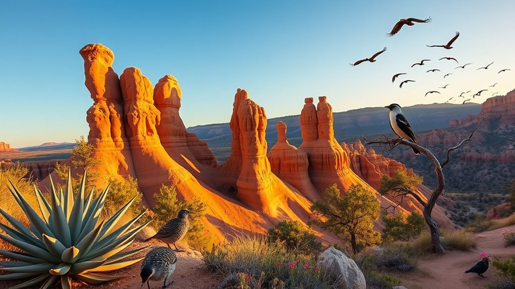
Chiricahua supports more than 200 bird species, which makes it one of southeastern Arizona’s strong birding spots. Its mix of oak woodland, pine, grassland, and riparian habitat helps create rich wildlife viewing.
Watch for Coues white-tailed deer, javelinas, coatimundis, black bears, lizards, butterflies, and tarantulas. You’ll usually have better wildlife sightings at dawn, dusk, and quiet trail sections.
The wider Willcox area also draws birders for winter sandhill crane viewing and the Wings Over Willcox festival. If birds shape your trip, plan extra time for nearby birding areas beyond the monument.
Key Wildlife to Spot
Many visitors come for the rock spires, but the wildlife adds another reason to slow down. The monument’s diverse habitats give you a chance to see mammals, reptiles, insects, and many bird species.
Look for Coues white-tailed deer near open areas and watch for javelinas in lower, brushier zones. Black bears and mountain lions live in the broader region, but visitors usually see signs rather than the animals.
- Scan trees and creek areas for hummingbirds, warblers, and other birds.
- Watch trail edges for deer, javelinas, lizards, and tracks.
- Check sunny rocks from a safe distance for reptiles and insects.
Birding Seasons and Events
Birding can reward you in every season, but spring and early summer often bring strong activity. Hummingbirds, nesting birds, and migrants draw many birders to southeastern Arizona during warmer months.
Gould’s wild turkeys also live in the region and may appear near woodlands, roadsides, or trails. Keep distance from all wildlife, even when animals seem calm or used to visitors.
In January, the Wings Over Willcox festival celebrates sandhill crane migration in the wider Willcox area. Guided tours and talks can help you connect the monument with the region’s larger birding routes.
Night Skies, Stargazing, and Ranger Programs
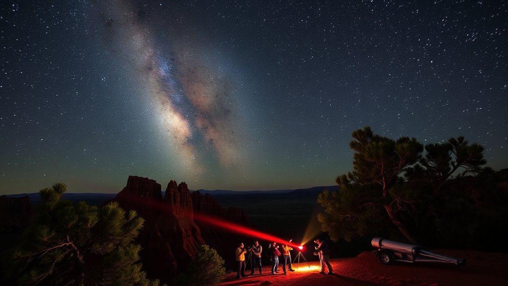
Chiricahua’s remote setting gives you dark skies and wide views, especially on clear nights near a new moon. Massai Point, Echo Canyon Trailhead, and Bonita Canyon Campground can work well for stargazing when conditions allow.
The monument has hosted night sky programs with astronomy groups and park staff. Check the current schedule before your visit because ranger programs change by season, weather, staffing, and special events.
- Plan your stargazing near a new moon for darker skies.
- Bring a red-light headlamp so your eyes adjust better.
- Check ranger schedules for night sky programs before arrival.
Cool nights can surprise you, even after a warm day. Bring layers, water, and a safe plan for walking back in the dark.
Frequently Asked Questions
Are Pets Allowed on Trails and in Campground Areas?
Pets can join you in some developed areas, but they cannot go on most hiking trails. Keep pets leashed, clean up waste, and check current pet rules before you start your visit.
Are Fires Allowed Outside Designated Rings and During Fire Restrictions?
You can only use fires where park rules allow them, such as designated fire rings when restrictions permit. Never build fires outside approved areas, and follow all posted fire bans during dry or windy conditions.
Is Cell Phone Service Available Within the Monument?
Cell phone service can be weak or unavailable in many parts of the monument. Download maps, save directions, and share your route before you leave a reliable service area.
Are Bicycles or E-Bikes Permitted on Hiking Trails?
Bicycles and e-bikes are not allowed on hiking trails. Use them only where park rules allow, such as public roads and approved parking areas.
Is There Accessibility Information for Visitors With Mobility Impairments?
You can ask the visitor center for current accessibility details, including restroom access, parking, trail surfaces, and ranger program options. Conditions can change, so check before choosing a route or viewpoint.
How Much Time Do You Need at Chiricahua National Monument?
Plan at least half a day if you want to drive Bonita Canyon Drive, stop at Massai Point, and take a short walk. Plan a full day if you want to hike Echo Canyon, Heart of Rocks, or several shorter trails.
What Is the Best Season to Visit Chiricahua National Monument?
Spring and fall often bring comfortable hiking weather, while summer can bring heat and storms. Winter can feel quiet and beautiful, but ice or snow may affect higher roads and trails.
Conclusion
Chiricahua National Monument rewards careful planning with hoodoos, quiet trails, wildlife, and clear night skies. Start with Bonita Canyon Drive and Massai Point if you have limited time, then add Echo Canyon or longer hikes if your schedule allows.
Pack food, water, fuel, layers, and offline maps before you arrive. Respect the land, follow park rules, and give yourself enough time to slow down between viewpoints.
With the right plan, you’ll leave with more than photos. You’ll carry the feel of a remote Arizona landscape that stays with you long after the drive home.