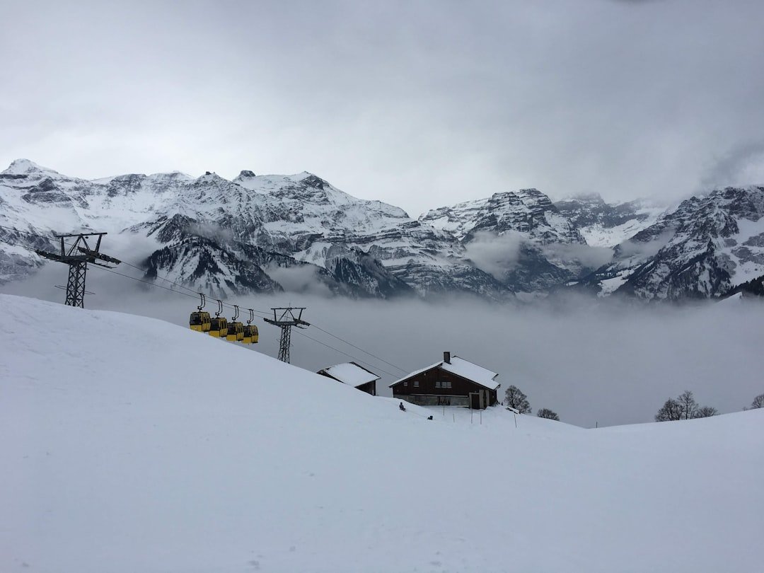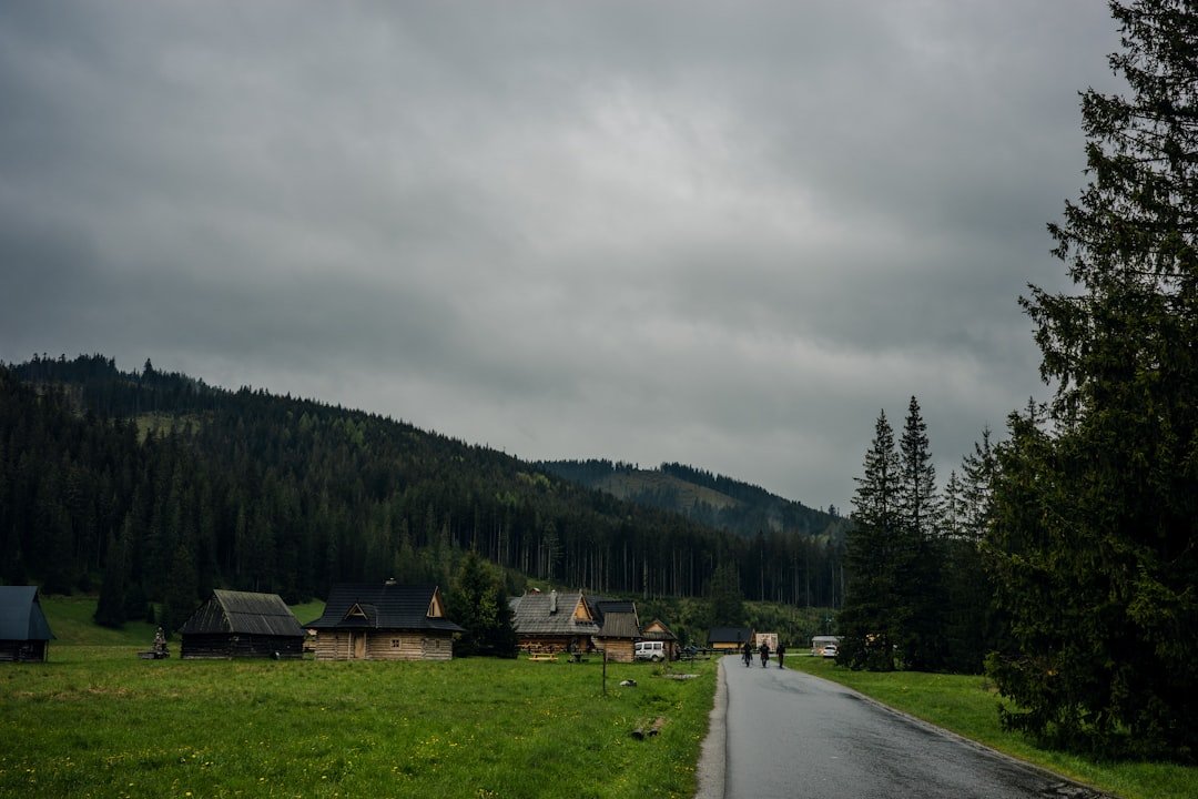
Creux du Van is a vast limestone rock amphitheater in the Swiss Jura above the Val-de-Travers. The classic hike from Noiraigue combines a sustained forest climb, the famous 14 Contours path, open high pastures, and a walk beside the dramatic rim. It is a rewarding day hike, but the elevation gain, exposed cliff edge, changing mountain weather, and protected-area rules deserve proper planning.
Quick Answer
For the standard SwitzerlandMobility Creux du Van circuit from Noiraigue, plan on about 15 km, 780 m of ascent and descent, and roughly 4 hours 35 minutes of walking before longer breaks. The route is technically straightforward but physically demanding, with steep sections and a cliff-edge section that requires care.
Key Takeaways
- The official SwitzerlandMobility Route 286 is about 15 km with 780 m of ascent and a published walking time of 4 hours 35 minutes.
- Nearby official route descriptions vary slightly, so you may also see figures around 14 km and 4 hours 30 minutes.
- The normal season for the standard marked route is May through October. Winter paths can be snowy, icy and very slippery.
- Creux du Van is a protected wildlife area. Dogs must be kept on a leash, wild camping is prohibited, and drones are not allowed in the federal wildlife district.
- If suckler cows are grazing near the rim and Le Soliat, official tourism guidance strongly advises against bringing a dog.
At a Glance
| Time Required | About 4 hr 35 min walking time for SwitzerlandMobility Route 286; allow roughly 5–6 hours or more with viewpoints, food and rest stops |
| Distance | About 15 km for Route 286; some official variants are listed at about 14 km |
| Elevation Gain | About 780 m on SwitzerlandMobility Route 286 |
| Difficulty | Technically easy on the official route, but physically demanding for casual hikers because of the sustained climb and descent |
| Best Season | May–October for the standard summer hiking route |
| Tools Needed | Sturdy hiking footwear, water, food, weather layers, sun protection and a current map or SwitzerlandMobility route |
| Cost | No separate hiking admission is listed by the official route sources; budget for transport, parking and food as needed |
Trailhead, Access and Route Overview
The most useful reference for the full hike is SwitzerlandMobility Route 286. It starts and finishes in Noiraigue. From near Noiraigue railway station, the route heads toward the Ferme Robert area before climbing through the forest and reaching Les Oeuillons. The famous Sentier des 14 Contours then gains height through a series of tight bends toward the Creux du Van plateau and Le Soliat area.
Once you reach the upper section, the character of the hike changes. Forest gives way to open pasture and the rim of the rock amphitheater. The route then continues around the Creux du Van area before descending toward Noiraigue. Follow the yellow hiking signs and the current mapped route rather than relying only on written directions, because several hiking paths intersect around the reserve.
Pro Tip: Starting at Noiraigue railway station makes the hike straightforward to reach by public transport and avoids having to return to a separate car trailhead after completing the loop.
Trail Description and Difficulty Level
The Creux du Van hike combines forest tracks, narrower hiking paths, steep switchbacks, pasture and an exposed-feeling section beside the rim. The long climb from Noiraigue is the main physical challenge. The 14 Contours section gains elevation through repeated bends and can feel demanding if you are not used to sustained uphill walking.
SwitzerlandMobility currently classifies Route 286 as technically easy with medium physical requirements. However, Neuchâtel Tourism’s closely related Noiraigue circuit describes the fitness requirement more strongly. For practical planning, it is best to treat this as a strenuous day hike for an occasional walker rather than an easy sightseeing stroll.
Beginners who already have reasonable fitness can complete the route in good conditions, but they should allow extra time and avoid rushing the descent. People with limited hiking experience, poor balance or a strong fear of heights may prefer a shorter visit from one of the upper access points rather than the full Noiraigue loop.
Warning: Parts of the route run close to very steep cliffs. Keep a safe distance from the edge, supervise children closely, and use extra caution in rain, fog, strong wind, snow or ice. Do not move closer to the drop simply for a photograph.
Estimated Time and Distance
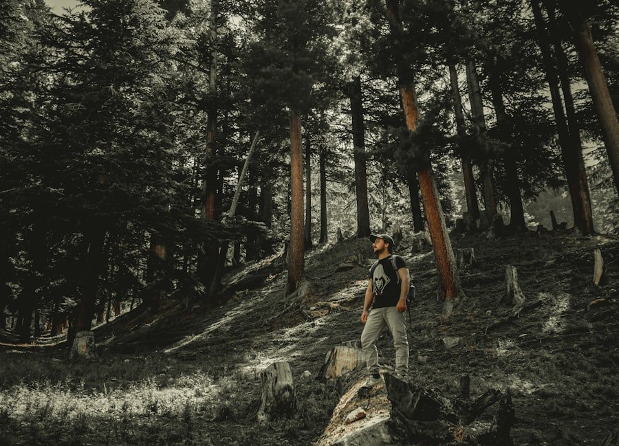
The current SwitzerlandMobility listing for Sentier du Creux du Van gives a distance of approximately 15 km, a walking time of 4 hours 35 minutes, and 780 m of ascent and descent. This is a better planning baseline than the shorter 3–4 hour estimate sometimes quoted for Creux du Van.
You may still see slightly different numbers on official tourism pages. Neuchâtel Tourism lists a Noiraigue–Noiraigue hike of about 14 km, 4 hours 32 minutes and 821 m of ascent. These differences reflect mapped route variants and measurement methods rather than one source necessarily being wrong.
For a relaxed visit, allow about five to six hours for the full outing. That leaves time to rest after the climb, enjoy the rim, photograph the landscape and stop for food without needing to maintain the published walking pace continuously.
Use 4 hours 35 minutes as the approximate walking-time benchmark for Route 286, but give yourself additional time for viewpoints, breaks and changing trail conditions.
What to Bring for the Hike
| Item | Recommendation |
|---|---|
| Water | Carry enough for a roughly five-hour or longer mountain outing; increase your supply in hot weather |
| Food and snacks | Lunch plus energy-dense snacks such as fruit, nuts or bars |
| Hiking footwear | Shoes or boots with reliable grip for steep and uneven ground |
| Weather layers | Warm layer plus a waterproof or wind-resistant outer layer |
| Sun protection | Sunscreen, hat and sunglasses |
| Navigation | Current SwitzerlandMobility map or an offline map on your phone |
| First aid | Small personal kit for blisters and minor injuries |
| Trekking poles | Optional, but useful if steep descents are hard on your knees or balance |
Good footwear matters because the route involves substantial ascent and descent rather than simply walking along the rim. A small backpack lets you carry water, food and extra clothing while keeping your hands free.
Weather on an exposed plateau can feel very different from conditions down in Noiraigue. Check the forecast shortly before departure and carry a layer that can handle wind or rain even when the day starts warm and clear.
Highlights and Scenic Views
The main reward is the Creux du Van itself. The vast horseshoe-shaped limestone amphitheater was shaped by water and ice over a very long geological history. Neuchâtel Tourism describes cliffs more than 160 m high and a rock arena more than a kilometre across.
The upper route gives wide views over the Jura landscape, Lake Neuchâtel and, when visibility is good, toward the Alps and France. The rim and the open area around Le Soliat provide the most memorable panoramas, so there is little reason to approach the actual cliff edge to get a good view.
The landscape also changes throughout the hike. Lower sections are wooded, while the upper plateau has open pasture and limestone terrain. That contrast is part of what makes the full Noiraigue loop more interesting than simply driving close to the rim for a short walk.
Wildlife and Flora
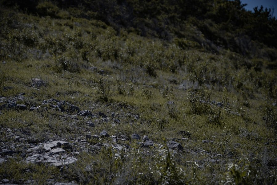
Creux du Van is important for wildlife as well as scenery. Official tourism information lists animals such as ibex, chamois, marmots and lynx in the wider protected landscape. Deer and birds of prey are also associated with the area. Sightings are possible, but wildlife should never be approached or surrounded for photographs.
SwitzerlandMobility notes alpine flora along the ridge, including anemones, asters and gentians. Stay on established paths where required and avoid picking or trampling plants in sensitive areas.
The Canton of Neuchâtel identifies Creux du Van as a federal wildlife district. The area’s protection rules are therefore part of the hiking experience, not optional etiquette.
Note: Wildlife sightings are never guaranteed. Give animals space, keep noise low and do not leave the marked route simply to get closer to an ibex, chamois or other animal.
Safety Tips and Considerations
Tell someone your approximate route and expected return time, especially if you are hiking alone. Check weather conditions before leaving and reconsider the hike if thunderstorms, dense fog, strong winds, snow or significant ice are expected around the plateau.
Watch your footing on steep or wet sections and slow down on the descent. Trekking poles can improve stability, but they do not replace careful foot placement or suitable footwear. If fatigue begins to affect your balance or judgment, taking a longer rest or changing your plan is safer than pushing on at the same pace.
Warning: If you bring a dog, current reserve rules require it to be on a leash. Neuchâtel Tourism also strongly advises against bringing dogs onto the high pastures when suckler cows are present because cattle can react aggressively toward walkers accompanied by dogs.
Protected-Area Rules
According to the Canton of Neuchâtel, wild camping is prohibited in the Creux du Van federal wildlife district and drones may not be flown there. Dogs must be kept on a leash. Follow signs in the reserve and give wildlife, livestock and sensitive habitats plenty of space.
Access and Parking
If you arrive by car, use designated parking only. Neuchâtel Tourism’s current access guidance lists official parking options around Noiraigue, Ferme Robert, Soliat and Grand’Vy depending on your approach and the season. Parking in meadows or outside official parking areas in the nature reserve is prohibited.
Winter Conditions
The standard SwitzerlandMobility hiking season is May through October. In winter, roads and paths around Creux du Van require a different level of preparation. Official tourism guidance warns that some roads are not cleared of snow and that pedestrian paths can be dangerous because they are not cleared and may become very slippery.
Do not treat the normal summer loop as an ordinary year-round walk. Snow, ice and short daylight hours can change both the difficulty and the equipment required.
Conclusion and Recommendations
The Creux du Van hike from Noiraigue is best approached as a substantial half-day to full-day mountain outing rather than a short scenic walk. The standard official route combines roughly 15 km of hiking with about 780 m of ascent and descent, followed by the dramatic reward of reaching one of the Jura’s most distinctive natural formations.
For most hikers, May through October offers the most appropriate conditions for the standard route. Start with enough time to avoid rushing, carry proper footwear and weather layers, keep well back from the cliff edge, and respect the rules of the protected wildlife area.
If you prefer to prepare your own trail snack before the hike, the existing recipe for Delicious Homemade Cottage Cheese: A Simple and Healthy Recipe offers one homemade food option. Pack any perishable food appropriately and carry all waste back out with you.
Frequently Asked Questions
What is the difficulty level of the Creux du Van hike?
SwitzerlandMobility labels Route 286 technically easy with medium physical requirements. In practice, the substantial elevation gain and long climb make it strenuous for casual hikers even though it does not require technical climbing.
How long does it take to complete the Creux du Van hike?
SwitzerlandMobility lists about 4 hours 35 minutes of walking for Route 286. Allow roughly five to six hours or more if you want generous time for rests, lunch, photographs and viewpoints.
How long and steep is the route from Noiraigue?
The standard SwitzerlandMobility circuit is approximately 15 km with about 780 m of ascent and descent. A related official regional route is listed at about 14 km with 821 m of ascent, so figures vary slightly according to the exact mapped track.
Where does the Creux du Van hike start?
The classic SwitzerlandMobility Route 286 starts and finishes in Noiraigue. The railway station makes Noiraigue a convenient starting point for hikers arriving by public transport.
What is the best time of year to hike Creux du Van?
The official SwitzerlandMobility season for the standard route is May through October. Conditions can still vary within that period, so check the weather before departure.
Can you hike Creux du Van in winter?
Winter access is possible in parts of the area, but it should not be treated like the normal summer hike. Official tourism guidance warns that paths may be uncleared, snowy and very slippery, while some access roads are not cleared.
Can I bring a dog to Creux du Van?
Dogs must be kept on a leash in the Creux du Van federal wildlife district. Neuchâtel Tourism also strongly advises against bringing dogs onto pastures around the rim when suckler cows are present because cattle may react aggressively.
Is the Creux du Van hike suitable for children?
Fit older children with hiking experience may manage the full route with close adult supervision, but the long climb and steep cliff edge make it unsuitable as a carefree walk for young children. Families wanting an easier visit can consider a shorter upper-level approach instead of the full Noiraigue circuit.
Sources
- SwitzerlandMobility: Sentier du Creux du Van, Route 286 — official route distance, duration, elevation, season and route description.
- Neuchâtel Tourism: Creux du Van hike — regional route statistics, 14 Contours information and suckler-cow/dog safety guidance.
- Neuchâtel Tourism: Access and parking at Creux du Van — seasonal road, parking, pedestrian access and winter-condition information.
- Canton of Neuchâtel: Terrestrial wildlife and protected areas — federal wildlife district rules covering dogs, drones and wild camping.
- Switzerland Tourism: Creux du Van — geological setting, landscape and general hiking information.