Bachalpsee is a high-alpine lake above Grindelwald in Switzerland’s Jungfrau Region, sitting at about 2,265 meters (7,431 feet) above sea level. The classic visit combines a gondola ride from Grindelwald to First with an easy, scenic hike across open alpine terrain. On calm days, the lake can reflect the surrounding peaks, while summer brings green meadows and alpine flowers.
The standard First-Bachalpsee-First hike is short enough for many families and casual hikers, but it still takes place high in the Alps. Snow, rain, wind and fast-changing weather can make an otherwise easy trail more demanding, so current trail and lift conditions matter more than the calendar alone.
Quick Answer
The standard Bachalpsee hike starts at Grindelwald-First and is about 5.8 km (3.6 miles) round trip with roughly 202 m (663 ft) of ascent. Allow about 1 hour 40 minutes to 1 hour 50 minutes of walking, or 2 to 3 hours if you want plenty of time at the lake.
Key Takeaways
- Bachalpsee sits at about 2,265 m above sea level near Grindelwald-First.
- The standard First-Bachalpsee-First route is about 5.8 km round trip with roughly 202 m of ascent.
- Expect about 50 to 60 minutes each way, depending on pace, conditions and stops.
- The normal route is rated easy in snow-free conditions, although altitude and bad weather can increase the challenge.
- Early summer through autumn is the normal hiking season after snowmelt, but you should always check current trail and gondola status.
- For the clearest mountain reflections, calm early-morning or evening conditions are usually best.
At a Glance
| Time Required | About 1 hr 40 min to 1 hr 50 min walking round trip; allow 2 to 3 hours with lake stops |
| Difficulty | Easy in normal, snow-free conditions; about 202 m of ascent |
| Tools Needed | Sturdy footwear, layers, sun and rain protection, water, snacks, phone and route information |
| Cost | The hiking trail itself is free; a separate First cable-car ticket is normally required if you ride from Grindelwald |
How to Get to Bachalpsee
Most visitors begin in Grindelwald. From the village, take the First Aerial Cableway to the mountain station at First. According to Jungfrau Railways, the gondola journey takes about 25 minutes and travels via Bort and Schreckfeld before reaching First.
If you arrive by train, continue to Grindelwald village station rather than getting off at Grindelwald Terminal. The First cable-car valley station is in the village center and is about a 10-minute walk from Grindelwald railway station.
If you arrive by car, parking immediately around the First cable-car station is limited. Jungfrau Railways recommends Grindelwald Terminal parking for many drivers, with local connections onward toward the First cableway.
Once you reach First, follow the signed hiking route toward Bachalpsee. The first section climbs noticeably, but the route soon becomes gentler as it crosses alpine meadows and rolling terrain.
The verified First-Bachalpsee-First route is about 5.8 km round trip with roughly 202 m of ascent and descent.
The one-way walk is roughly 2.9 km and normally takes about 50 to 60 minutes. The return follows the same general route, bringing total walking time to about 1 hour 40 minutes to 1 hour 50 minutes before longer breaks.
Pro Tip: Check the last gondola departure from First before you begin the hike. Allow extra time for photographs, food, weather delays and simply enjoying the lake rather than planning around the minimum walking time.
The Best Time to Visit Bachalpsee
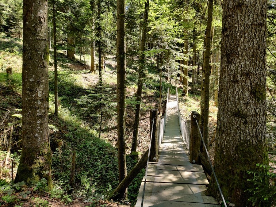
The normal hiking season runs from early summer into autumn once the trail is sufficiently free of snow. Switzerland Tourism describes the walk as an early-summer-to-autumn experience after snowmelt rather than guaranteeing a fixed opening date.
June through September is often the easiest period for visitors planning a conventional hike, while October can also offer good conditions in some years. Snow may remain into early summer, and fresh snow can return in autumn.
Summer and Early Autumn
Summer usually offers the simplest trail conditions, long daylight hours and the best chance to see alpine vegetation. Wildflower timing varies with elevation, snowmelt and weather, so there is no single week that guarantees peak bloom.
July and August are also among the busiest periods. Starting early can provide quieter trails and increase your chance of seeing a calm lake surface.
Winter
Bachalpsee can also be part of the Grindelwald-First winter landscape, but a normal summer hiking description should not be applied to winter conditions. Snow can cover both the lake and trail, and winter routes may have different opening statuses.
Warning: Do not assume the summer route is safely walkable just because the First gondola is operating. Check the current hiking or winter-hiking status, weather and snow conditions before leaving Grindelwald.
Bachalpsee Hike Distance, Difficulty and Trail Options
| Trail | Difficulty | Distance | Typical Walking Time |
| First-Bachalpsee-First | Easy in normal conditions | 5.8 km round trip | About 1 hr 40 min to 1 hr 50 min |
| First to Bachalpsee | Easy in normal conditions | About 2.9 km one way | About 50 to 60 min |
| First-Bachalpsee-Faulhorn-First | More demanding mountain outing | 11.2 km | About 3 hr 49 min |
The standard First-Bachalpsee-First route is the best choice for most first-time visitors. A route published by Grindelwald Tourism through Outdooractive lists it as an easy 5.8 km out-and-back with 202 m of ascent and descent.
The initial uphill section from First accounts for much of the effort. After that, the route rolls gently across open alpine terrain before reaching the lake. Even though it is classified as easy, suitable footwear is still worthwhile because rain, mud, snow or ice can change the trail quickly.
Faulhorn Extension
Hikers wanting a longer outing can continue toward Faulhorn. SwitzerlandMobility lists a First-Bachalpsee-Faulhorn-First circuit of about 11.2 km, with approximately 685 m of ascent and descent and a walking time of about 3 hours 49 minutes.
This is a substantially bigger day than simply visiting Bachalpsee. You should have suitable mountain-hiking footwear, enough food and water, reliable weather, and adequate time before the last lift.
Schynige Platte to First
Another classic high-level route links Schynige Platte with First via Faulhorn and Bachalpsee. Jungfrau Railways describes this as an approximately six-hour high-altitude hike. It is intended for experienced walkers rather than visitors who simply want a short lake walk.
What About Schreckhorn Hut?
Schreckhornhütte should not be treated as an ordinary side trip from the Bachalpsee trail. The Swiss Alpine Club lists the normal approach from the Grindelwald/Pfingstegg side as a demanding T4 mountain route that takes roughly 4 to 5 hours.
That is a separate mountain objective requiring much more experience, preparation and route awareness than the standard Bachalpsee hike.
Wildlife and Flora around Bachalpsee
The open alpine landscape around First and Bachalpsee supports a range of mountain plants, insects and wildlife. During the snow-free season, you may see colorful alpine flowers along the trail. Flower species and bloom periods vary with elevation, exposure and the timing of snowmelt.
Marmots, chamois and alpine birds live in the wider Bernese Oberland, but wildlife sightings should be treated as a bonus rather than an expectation. Animals may be distant or completely out of sight, especially when trails are busy.
If you do see wildlife, observe it from a respectful distance. Avoid feeding animals, chasing them for photographs or leaving food scraps near the trail.
Note: Staying on established paths protects both hikers and fragile alpine vegetation. Avoid trampling flower-covered meadows simply to create a photograph.
Safety Tips for Hiking around Bachalpsee
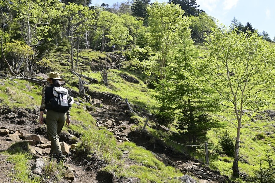
Although the standard Bachalpsee hike is classified as easy in normal conditions, it takes place above 2,000 meters. Weather, snow and altitude deserve more attention than they would on a low-level city walk.
Swiss mountain-hiking safety guidance recommends checking the route, trail category, weather, conditions, time requirements and transport schedule before starting a mountain hike.
Check Conditions Before You Leave
Look at the current Grindelwald-First operating information, local weather forecast, webcams and trail status on the morning of your visit. Conditions at First can differ significantly from conditions in Grindelwald village.
Snow may remain into early summer, and wet trails can become slippery even after rainfall has stopped.
Stay on the Marked Route
Follow marked paths and trail signs. Leaving the established route can lead you onto steeper terrain, fragile vegetation or snowfields that are harder than they look from a distance.
Carry the Basics
- Sturdy, comfortable footwear with useful grip
- Warm layer, even on a pleasant summer day
- Waterproof or wind-resistant outer layer
- Sun protection, sunglasses and sunscreen
- Enough drinking water
- Snacks or lunch
- Charged mobile phone
- Offline map or saved route information
- Small first-aid kit
Watch Your Time
Hiking times are estimates and usually exclude long breaks. Families with young children, older walkers and frequent photographers may need considerably longer than the published trail time.
Know the final gondola departure from First before setting off, especially if you are hiking in the afternoon.
Warning: If thunderstorms, heavy rain, strong wind, fresh snow or poor visibility are expected, change your plans rather than relying on the route’s normal “easy” classification.
Photography Tips for Capturing Bachalpsee
Bachalpsee is best known photographically for mountain reflections. The strongest reflections normally occur when the water is calm, which is why early morning and evening conditions can be especially rewarding. Switzerland Tourism also highlights these calmer periods for reflection photography.
Use the Light
Early and late light is generally softer than midday light and can add definition to mountain ridges. Clouds can also improve photographs by creating texture and filtering harsh sunlight, so a perfectly clear day is not essential.
Include Foreground Detail
Instead of filling every frame with the lake alone, try including rocks, trail edges or alpine vegetation in the foreground. This gives the photograph depth and makes the scale of the surrounding mountains easier to appreciate.
Use a Tripod When It Helps
A tripod can be useful around sunrise, sunset or other low-light periods. During bright daylight, it is optional rather than essential.
Try More Than One Viewpoint
Walk around the accessible lakeside paths and look for different compositions rather than photographing only from the first viewpoint you reach. Keep off fragile vegetation while choosing your position.
Pro Tip: Wind matters as much as sunlight for the classic reflection shot. A bright but windy afternoon may produce fewer reflections than a quiet, overcast morning.
Facilities, Food and Family Planning
Restaurants, toilets and other visitor services are concentrated around the First mountain station rather than along the entire Bachalpsee trail. Carry your own water and snacks so you do not depend on finding services beside the lake.
The standard route is family-friendly for children who are comfortable walking several kilometers and climbing roughly 200 meters. The wide trail and modest technical difficulty make it more approachable than many high-alpine hikes, but parents should still account for altitude, sun exposure, weather and the return walk.
A picnic at the lake can turn the hike into an easy half-day outing. Remember to take all food wrappers and other waste back with you.
Other Attractions near Bachalpsee
Bachalpsee is only one part of the Grindelwald-First area. If you have extra time, several nearby activities can be combined with the hike.
First Cliff Walk by Tissot
The First Cliff Walk runs along the mountain near the First station and includes a viewing walkway extending about 45 meters outward. It is an easy add-on before or after the Bachalpsee walk if it is operating.
Grindelwald Village
Back in Grindelwald, you can explore shops, restaurants and traditional Swiss mountain scenery. It is also the transport hub for other excursions in the Jungfrau Region.
Longer Hiking Routes
Experienced hikers can use Bachalpsee as part of longer routes toward Faulhorn or Schynige Platte. These should be planned as separate mountain hikes rather than casual additions to the standard lake outing.
In winter, the wider Grindelwald-First area becomes a ski, sledging and winter-hiking destination. The activities and accessible routes are different from the normal snow-free summer hiking network, so always use the current seasonal information.
Bachalpsee combines a relatively short hike with the scale and scenery of the high Swiss Alps. The standard route is straightforward for many visitors, but the best experience comes from allowing enough time, checking current conditions and treating the mountain environment with respect. Whether you visit for hiking, photography or a relaxed picnic, the lake is an easy way to experience the landscape above Grindelwald without committing to a full-day mountain trek.
If you are also looking for a different food-related read after planning your hike, the site has a separate article on Asian melon and its culinary uses.
Frequently Asked Questions
What is the Bachalpsee hike?
The Bachalpsee hike is a popular mountain walk from Grindelwald-First to Bachalpsee, a lake at about 2,265 m above sea level. The standard route returns to First along the same trail.
Where does the Bachalpsee hike start?
Most visitors start at the First mountain station above Grindelwald. You reach First by taking the First Aerial Cableway from Grindelwald village.
How long is the Bachalpsee hike?
The verified First-Bachalpsee-First route is about 5.8 km (3.6 miles) round trip. It has roughly 202 m (663 ft) of total ascent.
How much time should I allow for Bachalpsee?
Published walking times are about 1 hour 40 minutes to 1 hour 50 minutes for the round trip. Allow 2 to 3 hours if you want time for photographs, a picnic or a relaxed break beside the lake.
Is the Bachalpsee hike difficult?
The standard First-Bachalpsee-First route is rated easy in normal snow-free conditions. The first section has noticeable climbing, and bad weather, mud, snow or ice can make the route more demanding.
Can children hike to Bachalpsee?
Many active children can complete the standard route because it is relatively short and technically easy. Parents should still consider the child’s walking experience, the 200 m of climbing, altitude, weather and the full return distance.
When is the best time to hike to Bachalpsee?
Early summer through autumn is the normal hiking period once snow has melted. June through September is a practical planning window, but current trail conditions are more important than a fixed date.
Can you hike to Bachalpsee in winter?
Winter access depends on the designated winter-hiking route, snow conditions and current operating status. Do not assume the normal summer trail description applies when the ground is snow-covered.
Are there restaurants or toilets at Bachalpsee?
Visitor facilities are concentrated around the First mountain station rather than along the full trail. Carry water and snacks and use the facilities at First before or after your hike.
What can hikers see around Bachalpsee?
The route crosses open alpine scenery with mountain views, seasonal flowers and the possibility of seeing alpine wildlife. Calm conditions can create reflections of nearby mountains on the lake.
Sources
- Jungfrau Railways: Hike to Bachalpsee — official Bachalpsee elevation, hiking time and route information.
- Jungfrau Railways: Grindelwald-First — cable-car access, transport information, First Cliff Walk and regional hiking options.
- Switzerland Tourism: Lake Bachalp — elevation, normal hiking season and photography conditions.
- Grindelwald Tourism: First-Bachalpsee-First Route — verified distance, ascent, duration and difficulty for the standard hike.
- SwitzerlandMobility: First-Bachalpsee-Faulhorn-First — distance, elevation gain and hiking time for the longer Faulhorn circuit.
- Sicher Bergwandern / BFU — official Swiss guidance on weather, trail conditions, equipment, planning and mountain-hiking safety.