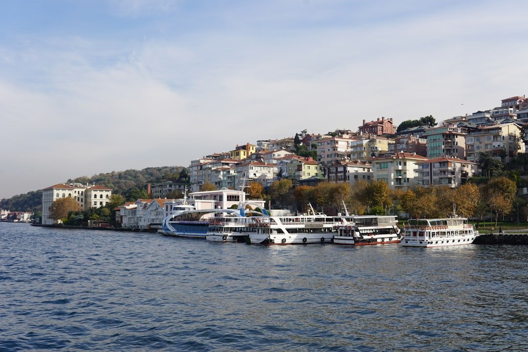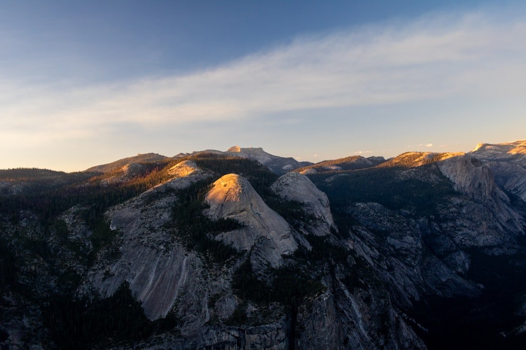
Büyükada offers some of the best island views near Istanbul, but the most rewarding scenery lies beyond the busy ferry pier. This guide covers the summit panorama at Aya Yorgi on Yücetepe, the pine-framed coastline around Dilburnu and Nizam, easy waterfront views, marked walking routes, sunset planning, picnic options, and a practical day-trip itinerary.
Quick Answer
The best viewpoint on Büyükada is Aya Yorgi Church on Yücetepe, the island’s highest hill. For easier scenery, choose the Nizam coast and Dilburnu, the ferry-pier promenade, or mansion-lined hillside streets. Visit early or late for softer light, cooler walking conditions, and fewer day-trip crowds.
Key Takeaways
- Aya Yorgi Church and Yücetepe are one hilltop destination, not two separate viewpoints.
- The final approach to Aya Yorgi is steep, while the pier and waterfront offer the easiest accessible views.
- Official ferry stops and timetables change by day and season, so check your outbound and return sailings before leaving Istanbul.
- Dilburnu Nature Park combines pine shade, sea views, picnic facilities, and a short recreation trail.
- Comfortable shoes, water, sun protection, and a return-ferry plan make the day much easier.
At a Glance
| Time Required | About 5–8 hours for a relaxed day trip; allow more time if you walk several hill routes. |
| Difficulty | Easy near the pier; moderate to strenuous on the steep Aya Yorgi climb. |
| Tools Needed | Walking shoes, water, sun protection, a charged phone, and an offline map or saved route. |
| Cost | Ferry fare plus optional electric transport, bicycle rental, food, and any managed park or facility fee. Check current prices before visiting. |
The History of Büyükada
Büyükada is the largest member of Istanbul’s Princes’ Islands. The archipelago has deep Byzantine history and was used at different times as a place of exile for political and religious figures.
During the Ottoman period, Büyükada gradually developed from a quiet retreat into a summer destination. Regular ferry connections in the 19th century made the island easier to reach, and wealthy residents built many of the wooden mansions that still shape its streets.
Those houses, churches, monasteries, gardens, and civic buildings reflect the island’s diverse communities and its role as a seasonal escape from central Istanbul. Writers, artists, public figures, and families continued to spend time here through the late Ottoman and Republican periods.
You can read a fuller local history on the Adalar Municipality’s Büyükada page.
How to Get to Büyükada
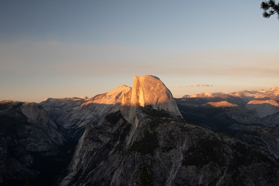
Passenger ferries connect Büyükada with several Istanbul piers. Şehir Hatları services commonly use Kabataş, Kadıköy, Bostancı, and Büyükada, while some sailings also stop at Eminönü or connect through other mainland piers. Not every ferry stops at every pier, and seasonal or operational changes can affect the timetable.
Check the official Şehir Hatları Princes’ Islands timetable on the day before your trip and again before you leave. Save the departure time of your preferred return ferry rather than assuming boats run at the same frequency all evening.
Depending on your starting point, the crossing can give you views toward the historic peninsula, the entrance to the Bosphorus, the Sea of Marmara, and the other Princes’ Islands. Outdoor decks can be windy even on warm days, so carry a light layer.
The ferry terminal opens onto Büyükada’s busiest district, where you will find cafes, bakeries, shops, and bicycle rentals. Most sightseeing is done on foot, by bicycle, or through IETT’s electric island transport. Current Büyükada routes include services toward Tepeköy–Kadıyoran, Kumsal–Maden, and Nizam; check the official IETT island transport page for route details.
Note: Horse-drawn carriages are no longer the island’s standard visitor transport. Public electric vehicles replaced them, while unauthorized private electric vehicles remain subject to local controls.
The Top Viewpoints on Büyükada
| Viewpoint | Best For | Access and Effort | Crowd Level |
|---|---|---|---|
| Aya Yorgi Church on Yücetepe | The widest hilltop panorama, nearby islands, and sea views | A steep final walk; the marked route from Lunapark Square is about 1 km | High on weekends, holidays, and religious observance days |
| Dilburnu and the Nizam Coast | Pine-framed coastline, picnic views, and sunset light | Gentler than the summit; walk, cycle, or use transport toward Nizam | Moderate; busier on summer weekends |
| Büyükada Pier and Waterfront | Ferries, gulls, historic waterfront architecture, and easy evening views | The easiest option, with little climbing near the terminal | High around ferry arrivals and departures |
| İsa Tepesi and Hristos Area | Wooded hillside scenery, historic surroundings, and a quieter atmosphere | Uphill walking from Kadıyoran or Lunapark-area routes; site access can vary | Usually lower than Aya Yorgi |
Aya Yorgi Church and Yücetepe
Aya Yorgi Church and Monastery stand on Yücetepe, Büyükada’s highest hill. They should be treated as one destination. The terrace and surrounding summit area provide the island’s broadest views across the Sea of Marmara and neighboring islands.
The climb is the main challenge. The official Büyükada ecotourism route from Lunapark Square to Aya Yorgi is about 1 km, and the path gains height quickly. Wear shoes with grip, carry water, and avoid the hottest part of a summer day.
Religious services and pilgrimage days can affect access and crowd levels. Dress respectfully, keep voices low near worship areas, and never block entrances while taking photographs. Learn more from the Adalar Municipality’s Aya Yorgi page.
Dilburnu and the Nizam Coast
Dilburnu extends from Büyükada’s western side between Nizam Bay and Yörükali Bay. The pine-covered headland is a better verified choice than calling the area a single “Nizam Viewpoint.” It offers coastal scenery, shaded places to rest, and west-facing light that can work well near sunset.
Dilburnu Nature Park has picnic and recreation facilities, viewing areas, and a short walking, running, and cycling route. Opening hours, entry charges, and fire-related rules can change, so check the official nature park listing before relying on a specific facility.
Büyükada Pier and Waterfront
The pier area does not give you summit height, but it is the easiest scenic stop on the island. You can photograph ferries, the terminal, waterfront buildings, and evening reflections without committing to a long climb.
This is the best option for visitors with limited time, young children, or mobility concerns. The promenade is generally easier than the island’s upper roads, although surfaces and crowds can still make movement slower.
İsa Tepesi and the Hristos Area
İsa Tepesi, home to the historic Hristos Monastery area, is Büyükada’s second major hill. It offers wooded roads and a quieter setting than the Aya Yorgi summit. Access to religious or institutional grounds may be restricted, so enjoy views from public roads and follow all signs.
Official route information identifies a 1 km climb from Lunapark Square to Aya Yorgi, a 4.5 km Yücetepe loop, and a 5.8 km bicycle route around the island’s established tour road.
A Guide to Büyükada’s Scenic Trails
Büyükada has a mix of signed forest routes, paved roads, residential lanes, and coastal paths. The official Büyükada Ecotourism Area lists three useful route references:
- Aya Yorgi route: About 1 km from Lunapark Square to the church.
- Yücetepe loop: About 4.5 km around the southern hill area.
- Established bicycle route: About 5.8 km from Lunapark Square along the island’s large-tour road.
Distances do not tell the whole story. The Aya Yorgi route is short but steep, while a longer coastal walk may feel easier because it gains less elevation. Allow extra time for heat, crowded paths, photographs, and rest stops.
The Nizam side suits a slower walk past wooden houses, garden walls, and sea-facing streets. Stay on public roads, respect residential privacy, and do not enter abandoned or fenced properties for photographs.
For the gentlest outing, follow the waterfront near the pier and continue only as far as your energy and return schedule allow. This route gives you frequent places to pause for tea, food, or ferry watching.
Warning: Hill roads can be steep, uneven, slippery after rain, and shared with bicycles or electric vehicles. Forest access and picnic rules may also change during periods of high fire risk. Follow local barriers and official notices.
Pro Tip: Save the steepest climb for early morning or late afternoon, but begin descending before paths become difficult to see. Carry a small light if your plan reaches close to sunset.
The Most Photogenic Spots on Büyükada
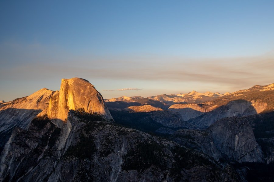
Start near the ferry pier, where boats, gulls, tiled waterfront architecture, cafes, and the Sea of Marmara create a clear sense of place. Photographing early helps you avoid the densest arrival crowds.
The island’s wooden mansions are also strong subjects. Look for carved balconies, shutters, garden gates, and layered street views from public roads. A longer lens can help you frame architectural details without stepping onto private property.
Aya Yorgi offers the widest landscape images, while Dilburnu gives you pine trees, coastline, and open water in the same frame. Quiet side lanes can produce more natural photographs than the busiest landmark stops.
Where to Find the Best Sunset Views on Büyükada
Sunset changes the mood across Büyükada as ferry lights appear and the Sea of Marmara reflects warmer color. The simplest evening option is the waterfront near the pier, where you stay close to return ferries.
For a more natural foreground, try the western side around Nizam and Dilburnu. Trees and the headland can frame the light, but managed park closing hours may not match sunset throughout the year.
Yücetepe can also produce dramatic late-day views, but it requires careful timing. Reach the summit before the light fades, confirm that you can descend safely, and leave enough time to return to the ferry terminal.
The best sunset location is the one that still leaves you a safe, unhurried route back to your confirmed return ferry.
Exploring Büyükada’s Hidden Gems
Beyond the famous hilltop, Büyükada rewards slow walking. Side streets around the older residential districts reveal carved doors, shaded gardens, wooden facades, and small cafes that many day-trippers pass without noticing.
The island also contains historic churches, monasteries, civic buildings, and the Büyükada Greek Orphanage area. Some properties are closed, fragile, privately owned, or unsafe to enter. View them only from legal public areas and respect fences and warning signs.
Small cafes away from the terminal often feel calmer than the waterfront restaurants. A simple tea or pastry stop can also help you pace a hilly itinerary.
Leave open time rather than treating the day as a checklist. The island’s best details often appear between major stops.
The Best Places to Enjoy a Picnic with a View on Büyükada
Dilburnu Nature Park is the clearest verified choice for a picnic with sea views. The official listing describes pine-covered recreation space, picnic units, viewing areas, toilets, a children’s area, and a short trail. Facilities and charges may change, so confirm current conditions before you go.
You can buy simit, fruit, pastries, water, and other easy foods near the ferry terminal before heading toward Nizam or the upper roads. Pack lightly because carrying a heavy meal up steep hills quickly becomes tiring.
A public bench along the waterfront can be a simpler alternative when you do not need a formal picnic area. Avoid blocking paths, keep food away from wildlife, and use public bins.
Note: Never light a fire or stove unless current park rules clearly allow it in a designated area. Pack out all waste and follow seasonal wildfire restrictions.
Tips for Photographing the Views on Büyükada
- Use softer light: Early morning and late afternoon reduce harsh shadows on white buildings and reflective water.
- Add a foreground: Ferry railings, tree branches, gates, or a quiet lane can give a wide sea view more depth.
- Move before zooming: A few steps can remove bins, signs, or parked bicycles from the edge of a frame.
- Show scale: A walker, cyclist, or ferry can make a hilltop panorama feel larger.
- Protect privacy: Photograph mansions from public space and avoid pointing a camera into occupied homes or gardens.
- Secure your gear: Wind is common on ferries and exposed hills, so use a wrist strap or neck strap.
How to Plan a Day Trip to Büyükada
Step 1: Confirm Both Ferry Journeys
Choose your mainland departure pier, save the outbound sailing, and identify at least two suitable return options. Take a screenshot in case your mobile connection becomes weak.
Step 2: Choose One Main Viewpoint
Pick Aya Yorgi for the biggest panorama, Dilburnu and Nizam for a gentler scenic day, or the pier area for an easy short visit. Trying to cover every hill usually turns a relaxed island trip into a rushed one.
Step 3: Match the Route to Your Fitness
If you plan to climb Aya Yorgi, do it before the hottest hours or later in the afternoon with enough daylight to descend. Visitors who prefer flatter ground can remain near the waterfront or use public electric transport to shorten part of the journey.
Step 4: Add One Cultural Stop and One Break
Pair the viewpoint with a mansion-lined street, historic religious site, museum or library area, cafe, or picnic. This gives the day variety without adding too much distance.
Step 5: Return With Time to Spare
Aim to reach the ferry district before your planned sailing rather than at the final minute. Weekend queues, slow walking, bicycle traffic, or transport delays can add unexpected time.
Sample Full-Day Route
- Arrive in the morning and spend a short time around the pier and waterfront.
- Walk or use electric transport toward Lunapark Square.
- Climb the marked route to Aya Yorgi on Yücetepe.
- Descend for lunch or tea, then continue toward Nizam or Dilburnu if energy and time allow.
- Return to the waterfront for evening light and your confirmed ferry.
Frequently Asked Questions
What are the best viewpoints in Büyükada?
Aya Yorgi Church on Yücetepe offers the broadest hilltop panorama. Dilburnu and the Nizam coast are better for pine-framed sea views and picnics, while Büyükada Pier is the easiest choice for ferries, waterfront architecture, and evening reflections.
Are Aya Yorgi and Yücetepe different viewpoints?
No. Aya Yorgi Church and Monastery are located on Yücetepe. They form one hilltop destination, although you may see the church and hill named separately in informal guides.
How hard is the walk to Aya Yorgi?
The official marked route from Lunapark Square is about 1 km, but it is steep. Most reasonably fit visitors can complete it with breaks, water, and suitable shoes. Heat, crowds, or wet paving can make it harder.
How can I reach Büyükada’s viewpoints?
You can walk, cycle on suitable roads, or use IETT electric transport to reduce part of the distance. The final Aya Yorgi ascent is a steep walking route. The pier and waterfront require the least effort.
What is the best time to visit the viewpoints?
Early morning and late afternoon usually provide cooler walking conditions, softer light, and fewer crowds than midday. Weekdays outside peak summer periods are generally calmer than sunny weekends and holidays.
Do Büyükada’s viewpoints charge admission?
Public roads, the waterfront, and open viewpoints usually do not require a separate admission ticket. Managed nature parks, beaches, transport services, or private facilities may charge fees, and religious sites may limit access during services.
Is Büyükada suitable for visitors with limited mobility?
The pier and nearby waterfront are the easiest areas, but crowds and uneven surfaces can still create obstacles. Aya Yorgi’s steep final path is not a practical choice for many wheelchair users, strollers, or people with limited walking ability. Electric public transport may help with other areas.
What should I bring for a day trip?
Bring comfortable shoes, water, sunscreen, a hat, a charged phone, and a light layer for the ferry. Add snacks, a power bank, and a small light if you plan to stay near sunset.
Final Tips for Visiting Büyükada’s Viewpoints
Büyükada’s best views come from balancing one main hill or coastal area with time to enjoy the island’s streets. Choose Aya Yorgi for height, Dilburnu and Nizam for pine-framed coastline, or the pier for the easiest scenic visit.
If you only have a few hours, stay near the waterfront and add one reachable neighborhood or hillside stop. With a full day, combine the Aya Yorgi climb with lunch and a slower western-side walk, but keep your return ferry fixed in the plan.
Check transport conditions, wear shoes suited to steep roads, respect religious sites and private homes, and follow forest restrictions. You will usually remember the island more clearly when you cover fewer places without rushing.
Sources
- Şehir Hatları: Kabataş–Princes’ Islands timetable — current ferry stops and schedules.
- IETT: Transport routes on the Princes’ Islands — electric public transport routes on Büyükada.
- General Directorate of Forestry: Büyükada Ecotourism Area — official walking and cycling route lengths.
- Adalar Municipality: Büyükada — island history, landmarks, and the location of Aya Yorgi on the highest hill.
- Nature Conservation and National Parks: Dilburnu Nature Park — park facilities, recreation areas, and visitor information.
- Adalar Municipality: Aya Yorgi Greek Monastery (Yücetepe) — official identification of Aya Yorgi and Yücetepe.