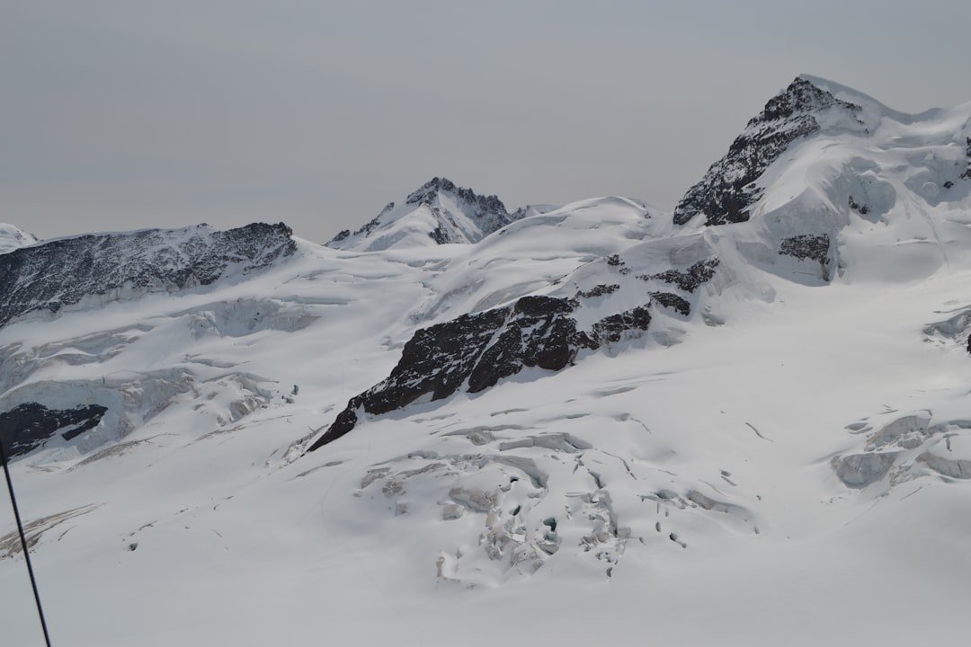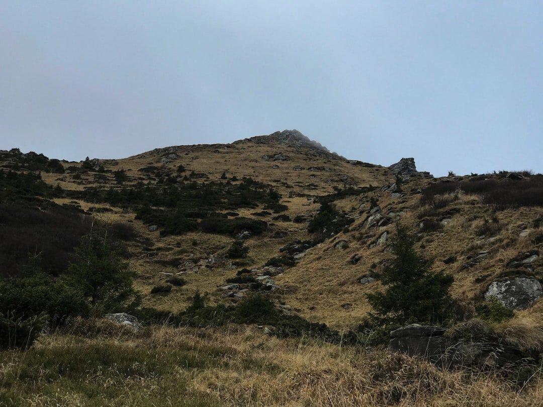
The Stoos Ridge Hike is one of Central Switzerland’s best-known mountain walks, linking Klingenstock with Fronalpstock high above Lake Lucerne and the Muota Valley. The trail is short in distance but feels like a true mountain hike because of its steps, exposed ridge sections, repeated climbs and descents, and constantly changing views. Good planning matters because access depends on seasonal chairlifts and suitable mountain weather.
Quick Answer
The classic Stoos Ridge Hike runs from Klingenstock to Fronalpstock. SwitzerlandMobility lists the ridge section at about 4 km with roughly 380 m of ascent and 400 m of descent. Allow around two to two and a half hours, plus lift rides, transfers, breaks, and extra time for photos.
Key Takeaways
- The main ridge hike connects Klingenstock with Fronalpstock and is different from the easier Fronalpstock Panorama Trail.
- The official recommended direction is Klingenstock to Fronalpstock.
- This is a summer-season mountain trail, not a winter hiking route.
- Check the Klingenstock chairlift, Fronalpstock chairlifts, trail status, and mountain weather before leaving.
- Wear proper hiking shoes and carry water, layers, sun protection, and basic emergency supplies.
At a Glance
| Route | Klingenstock to Fronalpstock |
| Distance | About 4 km for the ridge section |
| Time Required | About 1 hour 50 minutes of route time on SwitzerlandMobility; Stoos recommends allowing about 2 hours 30 minutes for the ridge hike. Allow longer for breaks and transport. |
| Elevation Change | About 380 m ascent and 400 m descent |
| Difficulty | Medium mountain hiking trail |
| Tools Needed | Hiking shoes, water, weather layers, sun protection, phone or map, and basic first-aid supplies |
| Cost | Depends on transport and lift use. The official Peak Experience ticket covers the Stoos funicular or cable car plus the Klingenstock and Fronalpstock lifts. |
Planning Your Hike: What to Consider Before You Go
The first decision is whether the ridge trail is actually open. Stoos-Muotatal states that the ridge hiking trail is a summer-season route and is not accessible when covered by winter snow. The Klingenstock chairlift is also seasonal and weather-dependent, so a date that looks like “summer” on the calendar does not automatically guarantee access.
Before leaving, check the official Stoos operating information and the MeteoSwiss hazard map. Wind, rain, thunderstorms, low cloud, lingering snow, or wet steps can change the difficulty of an exposed ridge walk quickly.
Warning: Do not treat the Stoos Ridge Hike as a winter trail. If the ridge is closed, snow-covered, icy, or affected by severe weather, choose an officially open alternative instead.
Your fitness and comfort with mountain terrain also matter. The route is not long, but it includes repeated stair sections, narrow ridge walking, and noticeable drops in places. Hikers should be comfortable walking on uneven mountain paths for several hours and should not rely on the short distance alone when judging difficulty.
How to Reach the Trailhead
Stoos is a car-free mountain village at roughly 1,300 metres above sea level. You can reach it from Schwyz using the Schwyz–Stoos funicular or from Morschach using the Morschach–Stoos cable car. Drivers leave their vehicles at the valley stations rather than driving into Stoos. Official parking information is available on the Stoos parking page.
The Schwyz–Stoos funicular is itself a major attraction. Its maximum gradient is 110%, and Stoosbahnen describes it as the world’s steepest funicular. Once in the village, follow signs toward the Klingenstock chairlift.
The Recommended Klingenstock to Fronalpstock Sequence
- Travel to Stoos from Schwyz or Morschach.
- Walk to the Klingenstock chairlift valley station.
- Ride the Klingenstock chairlift to the ridge.
- Hike from Klingenstock toward Fronalpstock.
- Take a break at the Fronalpstock summit and viewpoint.
- Ride the Fronalpstock chairlifts back toward Stoos.
- Return to the funicular or Morschach cable car for your descent.
This is also the direction recommended in the official Stoos Ridge Hike guide.
Pro Tip: Plan the entire day around the Klingenstock lift rather than assuming you can arrive at any time. Its operating season and hours can be more limited than the Fronalpstock lifts, and service may depend on weather.
Tickets and Lift Access
Stoos recommends its Peak Experience ticket for visitors doing the ridge hike. It covers the Schwyz–Stoos funicular, the Morschach–Stoos cable car, the Fronalpstock chairlifts, and the Klingenstock chairlift for the purchased period. Prices and conditions can change, so check the current official ticket page rather than relying on an old quoted fare.
Note: For the 2026 summer season, the published Klingenstock chairlift schedule lists daily operation from June 13 through October 11, followed by weekend and public-holiday operation from October 17 through November 1, subject to suitable weather. Always confirm the live status on the day of your hike.
The Best Hiking Routes on Stoos Ridge
1. Classic Stoos Ridge Hike: Klingenstock to Fronalpstock
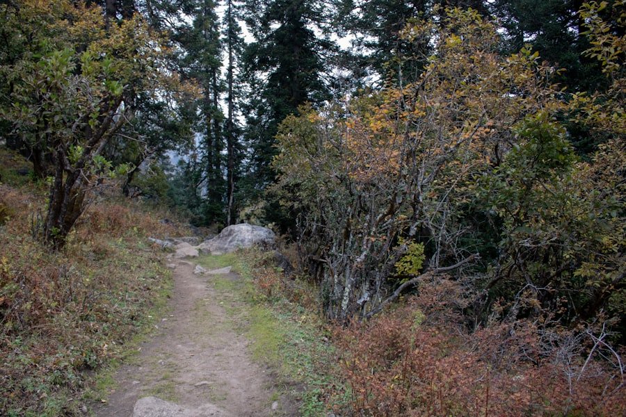
This is the route most visitors mean when they talk about the Stoos Ridge Hike. SwitzerlandMobility lists the ridge section at about 4 km, with approximately 380 metres of ascent and 400 metres of descent. Its route time is around 1 hour 50 minutes, while Stoos’ visitor guidance suggests allowing about 2 hours 30 minutes.
The difference is useful when planning. A fast route time does not include long photo stops, waits at lifts, food breaks, or time spent enjoying the viewpoints. For most visitors, the full trip from the valley and back is better treated as a half-day outing rather than a two-hour activity.
The trail repeatedly rises and falls as it follows the ridge. Lake Lucerne lies far below on one side, while the Muota Valley opens on the other. The changing angle of the ridge produces much of the appeal because the view develops throughout the hike instead of appearing only at the final summit.
The classic ridge section is only about 4 km long, but its mountain terrain, stairs, elevation changes, exposure, and photo stops make distance alone a poor measure of the effort required.
2. Fronalpstock Panorama Trail: Easier Alternative
If the full ridge feels too exposed or demanding, the Fronalpstock Panorama Trail is a separate and easier option. The official Stoos description calls it a relatively flat summit walk and notes that it is suitable for all-terrain pushchairs. Visitors can ride the Fronalpstock chairlifts to the summit, enjoy the views, and complete a shorter walk without crossing the entire Klingenstock–Fronalpstock ridge.
This distinction is important. The Fronalpstock Panorama Trail should not be confused with the classic ridge route, and its easier terrain makes it a better choice for visitors who mainly want the scenery rather than a mountain ridge hike.
Wildlife and Nature on Stoos Ridge
| Nature Feature | What to Know |
|---|---|
| Alpine meadows | Vegetation changes with elevation and season, with the richest flower displays generally occurring during the warmer hiking months. |
| Wildlife | Mountain wildlife may be encountered, but sightings are never guaranteed. Observe animals from a distance and do not feed them. |
| Ridge habitat | The open ridge provides little protection from sun, wind, or rapidly changing weather. |
| Low-impact hiking | Stay on marked paths, carry out your rubbish, and avoid disturbing grazing livestock or wild animals. |
The natural setting is one of the main reasons to hike here, but there is no need to attach unsupported species totals to the experience. Alpine meadows, rocky slopes, changing mountain vegetation, and broad views provide plenty to observe without promising a particular wildlife sighting.
If animals appear near the trail, give them space. The same applies to livestock. Walk calmly, stay on the marked path where possible, and avoid approaching animals simply for a photograph.
Historical and Cultural Highlights Along the Trail
The ridge itself is mainly a landscape experience, but the journey through Stoos adds several cultural and engineering points of interest. The most famous is the Schwyz–Stoos funicular. Opened in its current form in December 2017, it reaches a maximum gradient of 110%, or about 47.7 degrees, while its rotating passenger compartments remain level during the climb.
Stoos village also has the historic Maria Hilf Chapel. It is in the village rather than on the Fronalpstock ridge, so it works best as a stop before or after the hike. Traditional mountain buildings and the car-free village setting provide another contrast with the modern lift system that carries hikers onto the ridge.
These details make the trip more interesting than a simple summit walk. You move from the valley aboard an unusual engineering landmark, cross a quiet mountain village, ride onto the high ridge, and finish above Lake Lucerne before descending again.
Safety Tips for Hiking Stoos Ridge
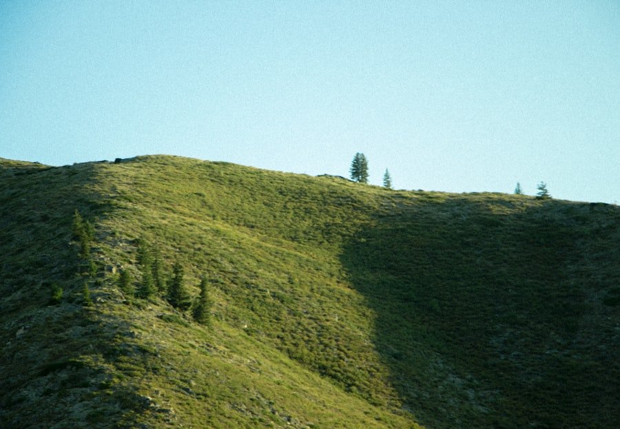
Mountain weather deserves more attention than the forecast in the valley. Check conditions shortly before departure and again when you reach Stoos. Clouds, thunderstorms, wind, wet surfaces, or poor visibility can make the ridge much less comfortable.
Stay on the marked route and avoid shortcuts across steep slopes. The ridge contains numerous steps and sections where concentration matters, especially when the trail is wet or crowded. If you are uncomfortable with the conditions, turning around or choosing the Fronalpstock Panorama Trail is a sensible decision.
- Check live trail and lift operations before starting.
- Check MeteoSwiss weather and hazard information.
- Start with enough time to finish before your planned last lift.
- Wear footwear with reliable grip.
- Carry water even if you plan to eat at Fronalpstock.
- Keep children close on exposed or narrow sections.
- Do not continue onto a closed, icy, or snow-covered ridge.
- Tell someone your plan if hiking alone.
Recommended Gear for Hiking Stoos Ridge
Sturdy hiking shoes are the most important item. The route is not technical climbing, but ordinary smooth-soled city shoes provide little security on loose, damp, or uneven mountain terrain.
Dress in layers so you can adjust to wind and temperature changes. A warm or wind-resistant layer can be useful even when the valley feels hot. Carry enough drinking water for the ridge section, a snack, sunscreen, sunglasses, and a hat.
A small first-aid kit, charged phone, downloaded map, and power bank add little weight and can be valuable if plans change. Trekking poles are optional, but some hikers find them helpful on repeated steps and descents.
Simple Packing Checklist
- Hiking shoes with good grip
- Water
- Snacks
- Light insulating or windproof layer
- Rain protection when conditions call for it
- Sun protection
- Phone with offline route information
- Small first-aid kit
- Trekking poles if you normally use them
Where to Stay and Eat Near Stoos Ridge
Stoos village has accommodation and dining options for visitors who want to turn the hike into an overnight trip. Staying on the mountain can also make it easier to begin earlier in the day rather than coordinating a morning journey from farther away.
At the Fronalpstock end of the classic route, the official Stoos itinerary specifically suggests taking a break at the viewing area and Fronalpstock Hotel | Restaurant. This makes Fronalpstock the logical place for a meal or drink after completing the ridge.
Even with summit dining available, carry your own water and a small amount of food. Restaurant opening hours can be seasonal, and the exposed ridge itself is not a place where hikers should depend on finding supplies exactly when needed.
Traditional Swiss dishes such as rösti and fondue are commonly associated with mountain dining, while cafés and restaurants around Stoos provide lighter alternatives. Opening days and menus can change, so confirm individual businesses directly if a particular meal is important to your plan.
Overall, Stoos Ridge works best when treated as a complete mountain excursion rather than simply a short trail. The funicular or cable car journey, Stoos village, Klingenstock chairlift, ridge crossing, Fronalpstock viewpoint, and return lifts all form part of the experience. With suitable weather and realistic timing, the relatively short trail delivers an unusually large amount of scenery.
If you also enjoy browsing food features after planning your trip, you can read this separate article on exploring the delightful world of Asian melon.
Frequently Asked Questions
What is the Stoos Ridge Hike?
The classic Stoos Ridge Hike is the mountain trail between Klingenstock and Fronalpstock above the village of Stoos in Central Switzerland. It offers wide views toward Lake Lucerne, the Muota Valley, and surrounding mountain ranges.
How long is the Stoos Ridge Hike?
SwitzerlandMobility lists the Klingenstock–Fronalpstock ridge route at about 4 km. Its route time is around 1 hour 50 minutes, while Stoos recommends allowing about 2 hours 30 minutes. Add extra time for lifts, walking through Stoos, breaks, and photos.
What is the difficulty level of the Stoos Ridge Hike?
SwitzerlandMobility classifies it as a medium mountain hiking trail. The route includes steps, uneven ground, repeated climbs and descents, and exposed ridge sections, so proper footwear and confidence on mountain paths are important.
Which direction should I hike the Stoos Ridge?
The official Stoos recommendation is to ride the Klingenstock chairlift, hike from Klingenstock to Fronalpstock, and then descend using the Fronalpstock chairlifts.
What should I bring for the Stoos Ridge Hike?
Bring hiking shoes with good grip, water, snacks, weather layers, sun protection, a charged phone or map, and basic first-aid supplies. Trekking poles are optional but can help on steps and descents.
Are there facilities along the Stoos Ridge Hike?
Do not depend on finding supplies in the middle of the ridge. At the Fronalpstock end, however, the official itinerary identifies the viewing area and Fronalpstock Hotel | Restaurant as a place to take a break. Stoos village also has restaurants and other visitor facilities.
When is the best time to hike Stoos Ridge?
Hike it during the official summer hiking season when the ridge is open, free of unsafe snow or ice, and the Klingenstock chairlift is operating. Exact opening dates depend on seasonal conditions, so check live Stoos operations before travelling.
Can I hike the Stoos Ridge in winter?
No. Stoos-Muotatal states that the ridge hiking trail is a summer-season route and is snow-covered and inaccessible in winter. Use designated winter hiking trails instead.
Do I need a special ticket for the Stoos Ridge Hike?
The trail itself is reached using several mountain transport services. Stoos recommends the Peak Experience ticket because it covers the Stoos funicular or cable car together with the Klingenstock and Fronalpstock lifts for the purchased period. Check current prices and conditions before booking.
Is the Stoos Ridge Hike suitable for a stroller?
The classic Klingenstock–Fronalpstock ridge hike is not a stroller route. For a much easier summit experience, the official Fronalpstock Panorama Trail is relatively flat and is described by Stoos as suitable for all-terrain pushchairs.
Sources
- Stoosbahnen: Stoos Ridge Hike — official recommended route direction, access sequence, estimated hiking time, lifts, and Fronalpstock stop.
- SwitzerlandMobility: Gratweg Stoos Route 827 — official route distance, elevation change, time, and difficulty classification.
- Stoosbahnen: Peak Experience Ticket — mountain railway and chairlift coverage for ridge-hike visitors.
- Stoosbahnen: Klingenstock Chairlift — current seasonal operating schedule and weather-dependent service.
- Stoos-Muotatal Tourism: Important to Know — official statement that the ridge hiking trail is a summer-season route and inaccessible under winter snow.
- MeteoSwiss Hazard Information — current official Swiss weather-hazard information for trip planning.