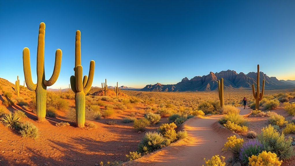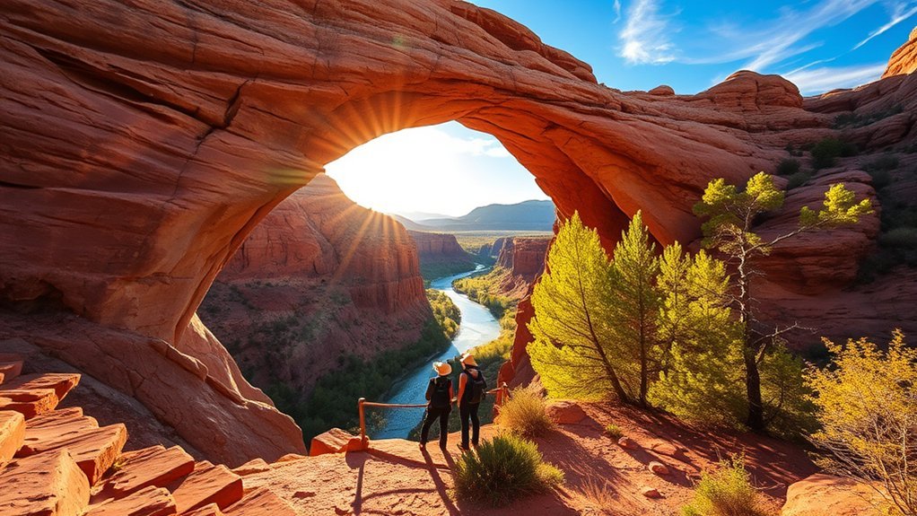
You’ll see sunlight spilling through a moss-lined travertine arch as you step onto the overlook, a quiet moment worth planning for. You’ll learn the drive, trail options, best seasons and practical tips so you don’t waste time once you arrive. Expect straightforward directions from Phoenix, limited parking, and short but steep trails that reward you with waterfall and canyon views.
Key takeaways
- Plan around hours: the park is usually open 9:00 a.m.–5:00 p.m. with last entry at 4:00 p.m. (trails close an hour before closing).
- Trails are short but steep: most routes are under a half-mile, with steps and slick spots near the water. Good shoes and water matter.
- Know the rules: dogs aren’t allowed on hiking trails, and recreational drones are prohibited in Arizona State Parks.
Why Tonto Natural Bridge State Park Is Worth Visiting
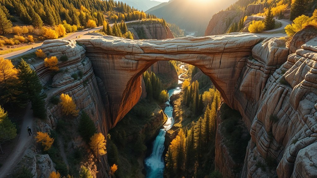
When you step onto the trails at Tonto Natural Bridge State Park, you’ll immediately see why it’s worth a visit. A massive travertine arch spans a lush canyon, creating dramatic views, shaded grottoes, and easy access to hiking and photo spots. Arizona State Parks describes it as believed to be the largest natural travertine bridge in the world—about 183 feet high over a 400-foot-long tunnel.
You’ll encounter a natural wonder formed by mineral rich springs that deposited travertine over time. The result is fragile but striking rock formations. Trails and overlooks let you study layers, flow patterns, and spring-fed pools that highlight the site’s geology. Bring a camera, sturdy shoes, and curiosity—this compact park delivers scenery you can learn from without a long backcountry commitment.
Where the Park Is Located and How to Get There
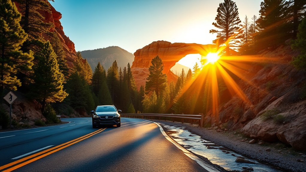
Tonto Natural Bridge State Park sits in central Arizona’s Rim Country between Payson and Pine (about 10 miles north of Payson on Highway 87). From Phoenix, you’ll generally drive north on AZ-87 (the Beeline Highway) toward Payson. Continue past town, then follow signs onto Forest Road 583A (Tonto Natural Bridge Road) to the park entrance.
Because the canyon can limit signal, download maps before you go. Plan fuel and supplies in Payson. For the latest hours, fees, and any closures, check the official Arizona State Parks & Trails park page.
Tucked in central Arizona near Payson, Tonto Natural Bridge is reached from Highway 87—download maps ahead and expect limited cell service in the canyon.
- Drive AZ-87 to Payson, then continue north about 10 miles.
- Turn onto Forest Road 583A / Tonto Natural Bridge Road and follow posted signs.
- Fill up on fuel and water before leaving Payson.
- Expect limited cell service; save directions offline.
Products Worth Considering

Explore confidently with the reliable handheld GPS
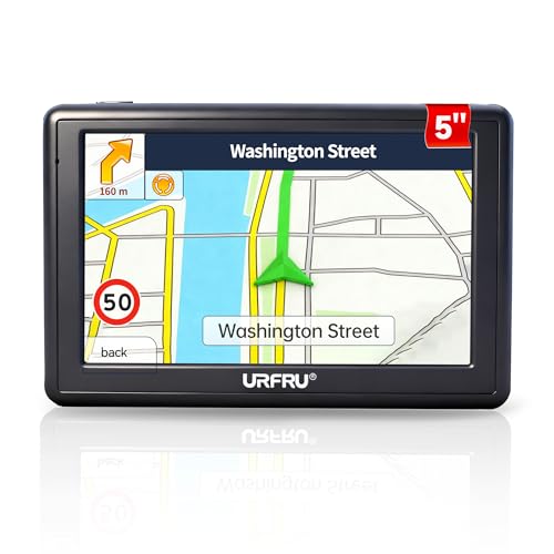
【GPS Satellite Connection】URFRU Navigator was communication with GPS satellites directly, no needs the mobile network. and it can smart corrected the route by GPS signals to provide accurate navigation. 【Note! GPS single can not connection indoor, it should be turn on outdoor for work well.】

【Wireless Apple Carplay & Android Auto】Enjoy seamless wireless carplay and android auto connectivity for your phone's music, map navigation, messages, hands-free Phone Call etc. This portable CarPlay screen for car ensures smooth voice control and effortless integration, making it a versatile car tablet for daily commutes
Best Times of Year and Day to Visit
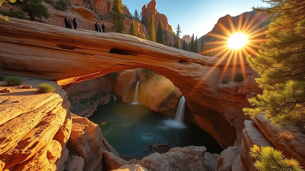
At about 4,500 feet elevation, spring and fall are usually the most comfortable seasons. Visit March through May for mild temps and spring greenery. September through October is great for fall color in Rim Country. Plan to arrive near opening time for cooler temps and smaller crowds, and finish steep hikes well before the park’s trail cutoff (trails close an hour before the park closes). Winter can bring slick, icy patches on shaded steps. Summer brings heat and monsoon storms, so check the forecast and pack layers.
Parking, Fees, and Park Hours
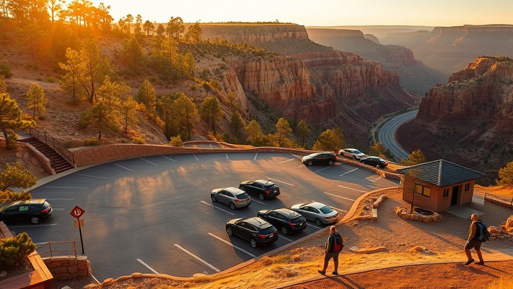
You’ll find a small paved parking area near the trailheads and viewpoints, and it can fill on weekends and holidays. Plan to arrive early, follow staff directions, and avoid roadside parking.
- Park hours: usually 9:00 a.m.–5:00 p.m. with last entry at 4:00 p.m. Trails close one hour before the park closes.
- Entrance fees (as of 2026-02-01): $10 per adult (14+), $5 per youth (7–13), and free for children 0–6.
- Holiday hours: reduced hours on Thanksgiving and Christmas Eve; the park is closed on Christmas Day (confirm each year).
- Easy access views: you can see the bridge from multiple parking-lot viewpoints and a walking path without hiking into the canyon.
Products Worth Considering
Engineered for Efficient, One-Person Setup: This sunshade is designed for seamless deployment. The Eurow Tail Gator Sunshade attaches to your SUV lift gate or roof and assembles in minutes with minimal effort. No complex frames or multiple hands required

Size Guide: This car windshield sun shade has a total unfolded size of 59.00*31.00 inch, making it widely compatible with most cars and compact SUVs, but not suitable for trucks, pickups, or heavy-duty trucks. Please check your windshield size before buying to make sure it fits this product

Buyer's Guide: Car windshield sun shade size 59.00*31.00 inch when unfolded. Please note that this product is suitable for most cars and compact SUVs, not suitable for trucks. Before buying, please measure the actual size of your car windshield and confirm compatibility
Main Trails and Viewpoints to Explore
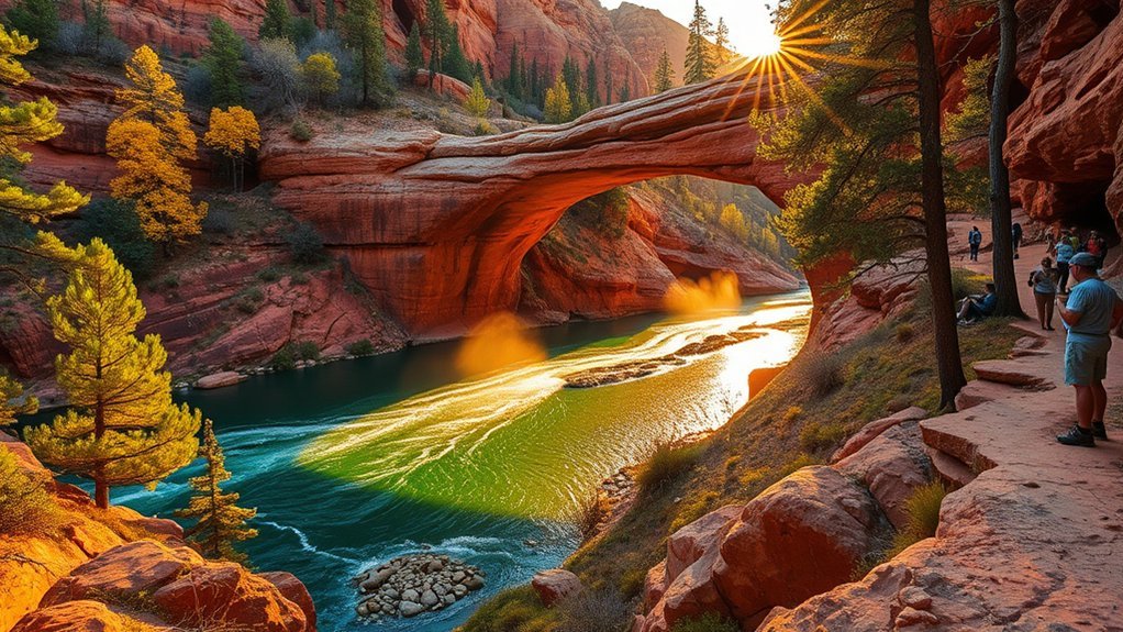
The park’s routes are short, but many are steep and step-heavy. Most visitors combine a rim viewpoint with one of the three main canyon trails (Pine Creek, Gowan, or Anna Mae). Then add the short Waterfall Trail spur for a “top-and-bottom” view of the bridge.
Pine Creek Trail
When you follow the Pine Creek Trail, expect a well-marked route that drops from the rim into shade toward the bridge and creek. It’s roughly 0.4 miles (0.6 km) one way. It’s steep and hard, especially on the return. Take your time at overlooks and watch footing near wet rock. Plan about an hour for a relaxed out-and-back with stops.
- Steep descent and return
- Natural bridge and creek views
- Rock steps and uneven terrain
- Best paired with a rim viewpoint
Waterfall Trail
The Waterfall Trail is a very short spur—about 300 feet—that ends at a waterfall cave. It’s quick, but the steps can be uneven and slick, especially after rain. For waterfall photos, look for softer light early or late in the day and keep your camera steady on a railing for slower shutter speeds.
Gowan Trail
The Gowan Trail is a steeper out-and-back that leads down to an observation deck in the creek bottom. It’s about 0.3 miles (0.5 km) one way, and many visitors budget around an hour for the descent and climb back up.
Anna Mae Trail
The Anna Mae Trail is a short connector (about 0.1 miles one way) that leads to the Pine Creek Trail and the natural bridge. Even though it’s short, expect steps and a stiff climb on the way back.
What to Pack and Safety Tips
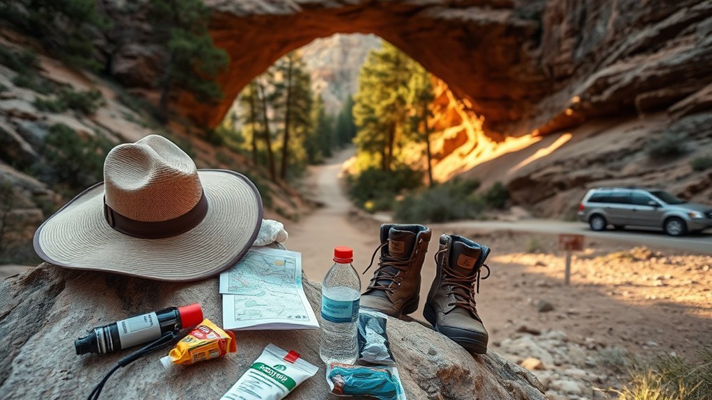
Before you hit the trails, pack the essentials. Bring closed-toe shoes with good traction, plenty of water, sun protection, a map or phone with offline directions, and a basic first-aid kit. The park recommends about 2 liters of water per person for hiking. Stay aware of footing on uneven or wet paths, watch for sudden weather changes, and stick to marked trails to protect both yourself and the fragile environment.
For protection and safety, swimming or wading under the natural bridge is not allowed. Plan to enjoy the water features from the trail and viewpoints instead.
Essential Gear List
A compact kit tailored to Tonto Natural Bridge will keep you safe and comfortable: prioritize hydration, sun protection, reliable footwear, and a headlamp in case hikes take longer than planned.
- Water (1–2+ liters), plus an electrolyte mix in warm weather.
- Sun protection: broad-brim hat, SPF 30+ sunscreen, UV sunglasses.
- Footwear and clothing: closed-toe hiking shoes, moisture-wicking layers, light rain shell.
- Essentials: compact first-aid kit, headlamp, whistle, map/charged phone with offline maps.
Safety & Trail Tips
Tell someone your plan, start early, and turn around if the trail is slick or storms roll in. Stay on marked routes, watch for loose rock, and give wildlife space. If you bring a dog, note that pets are not allowed on hiking trails. Keep pets leashed (max six feet) in allowed areas and clean up after them.
Nearby Attractions and Places to Eat
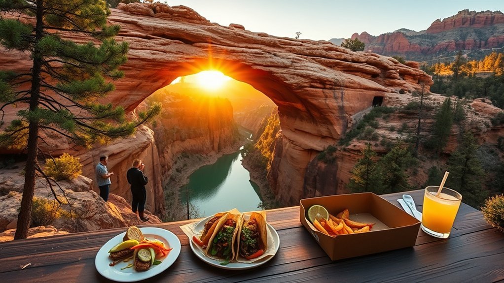
If you want to extend your day, Payson and the Pine/Strawberry area offer cafés, grocery stops for picnic supplies, and quick detours into Mogollon Rim scenery. Roosevelt Lake and Tonto Basin are also within day-trip range for viewpoints and waterfront picnics.
Set aside time for a meal in Payson or Pine/Strawberry, plus a quick scenic overlook if you’re exploring Rim Country.
- Payson: diners, cafés, breweries, groceries for picnic supplies.
- Pine/Strawberry: bakeries, art galleries, antiques.
- Tonto Basin & Roosevelt Lake: viewpoints and picnic stops.
- Mogollon Rim drives: easy pullouts and short nature walks.
Products Worth Considering

Leak-proof Backpack Cooler: Our cooler backpack liner adopts Edible grade EPVA material and high-tech seamless hot pressing proces, Make sure anti-leaking. You can drink cold beverages,eat fresh fruits or nacks with family or friends anytime. Please note the zipper is not leak-proof and be careful not to tip over when using

Exceptional Heat Retention: Hulongo cooler backpack is designed to keep your beverages and food cool for up to 12 hours with its thickened 8 mm foam insulation and advanced silver PEVA seal. Whether you're heading to the beach, going on a picnic, hiking, camping, grocery shopping, this backpack will ensure your items stay at the right temperature throughout the day

20 Hours Retention: Sparter backpack cooler is insulated with thickened 8 mm foam, together with advanced silver PEVA seal to keep beverages cool up to 20 Hours throughout the day for beach picnic, hiking, camping, trip, travel, boating, baseball / golf and work.
Accessibility and Family-Friendly Options
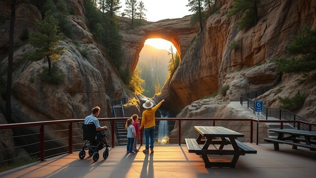
If you need easier access or are bringing kids, the park’s parking-lot viewpoints and walking path let you see the bridge without hiking into the canyon. The steep trails include many steps and uneven surfaces, so plan accordingly if mobility is limited. For families, look for Junior Ranger activities and seasonal ranger- or volunteer-led programs at the historic lodge.
Frequently Asked Questions
Are Pets Allowed on Park Trails and in Picnic Areas?
Pets are welcome in many developed areas if they’re leashed (max six feet) and cleaned up after, but pets are not allowed on the park’s hiking trails. Check posted signs and ask staff if you’re unsure where pets can go.
Is Drone Use Permitted Within Park Boundaries?
Recreational drone use is prohibited in Arizona State Parks. Commercial use may be considered through a film/photography permit process. See the Arizona State Parks FAQ on drones for the current policy.
Are There Guided Tours or Ranger-Led Programs Available?
Yes—programs vary by season. As of 2026-02-01, the park page lists tours of Goodfellow Lodge on select days with reservations required. Check the park calendar close to your visit for the latest schedule.
Can I Host a Small Wedding or Commercial Photoshoot at the Park?
Weddings and group reservations are possible at select Arizona State Parks, and the historic lodge at Tonto Natural Bridge can be reserved for groups. Commercial photography or filming may require a permit and advance planning. Contact the park office well ahead of time for current rules, fees, and openings.
Is There Cell Phone Service or Wi-Fi Within the Park?
Expect spotty cell reception, especially down in the canyon. Download maps ahead of time and plan for limited connectivity while hiking.
Conclusion
Tonto Natural Bridge rewards you with dramatic travertine formations and peaceful canyon scenery—plan ahead, arrive early, and expect limited cell service. Combine a rim viewpoint with a short, steep hike on Pine Creek, Gowan, Anna Mae, or the Waterfall Trail, and pack water, sturdy shoes, and sun protection for a safer visit. A Phoenix day-tripper can drive up AZ-87, arrive near opening time, and still have plenty of daylight for viewpoints and an unhurried hike.