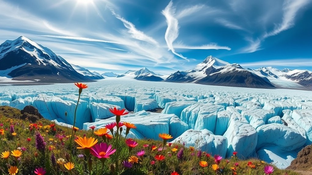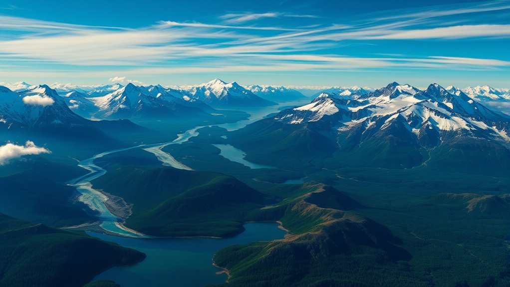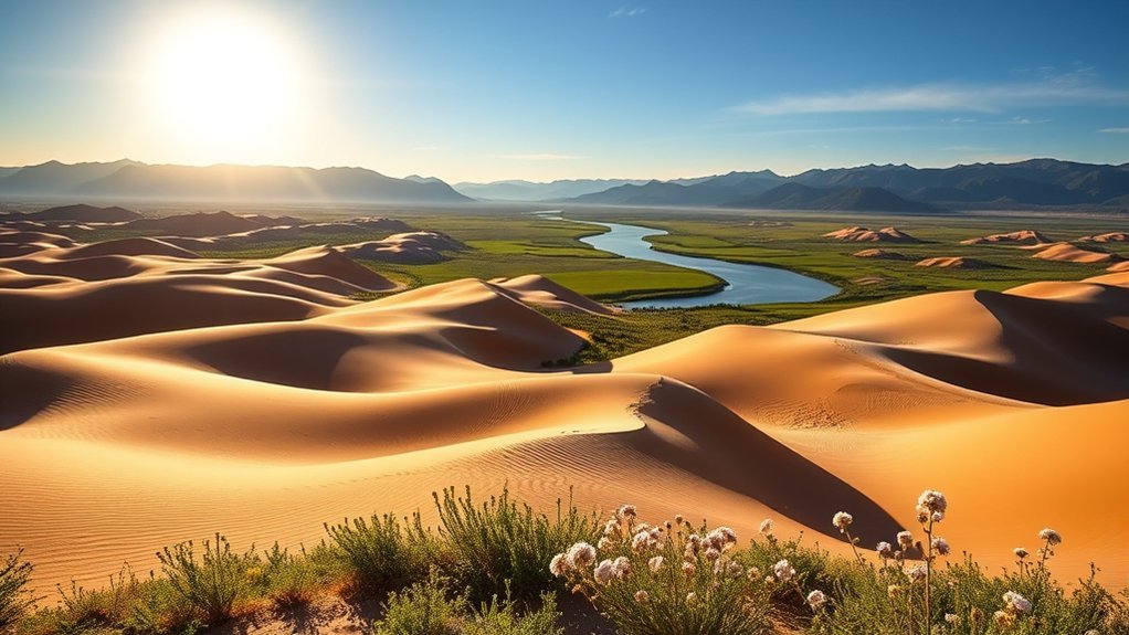
Visiting Kobuk Valley National Park means entering one of the most remote national parks in Alaska. Instead of roads, trailheads, campgrounds, and visitor facilities, you’ll find the Great Kobuk Sand Dunes, the Kobuk River, broad tundra, mountains, wildlife, and a living Iñupiat cultural landscape. A trip here can be unforgettable, but it requires far more planning and self-sufficiency than a typical national park visit.
Quick Answer
Kobuk Valley National Park is a roadless Arctic wilderness best known for the Great Kobuk Sand Dunes, the Kobuk River, caribou migration, and thousands of years of Iñupiat history. Most visitors arrive by air taxi, camp in the backcountry, and must carry their own navigation, emergency, weather, and wildlife-safety equipment.
Key Takeaways
- There are no roads, maintained trails, developed campgrounds, lodging, or visitor facilities inside Kobuk Valley National Park.
- Most visitors reach the park by small aircraft from Kotzebue or Bettles, so weather delays should be built into your schedule.
- The Great Kobuk Sand Dunes, Kobuk River, Baird Mountains, and Paatitaaq/Onion Portage are among the park’s major destinations.
- Summer is the most practical season for many first-time visitors, but rain, frost, cold, wind, insects, and even extreme heat on exposed dunes are possible.
- Cell phones do not work in the backcountry, making reliable navigation and emergency-communication equipment especially important.
- Standard park entry and independent backcountry camping do not carry an entrance fee, although air transportation and guided services can be significant trip expenses.
Overview of Kobuk Valley National Park
Kobuk Valley National Park protects an extraordinary mix of Arctic and boreal landscapes in northwest Alaska. Its best-known feature is the Great Kobuk Sand Dunes, but the park also includes the Kobuk River, wetlands, forests, tundra, and portions of the Baird Mountains.
The National Park Service describes the Great Kobuk Sand Dunes as a roughly 25-square-mile field of shifting sand. Some dunes rise about 100 feet above the surrounding landscape.
The park is unusual because it has no road system, maintained hiking trails, developed campgrounds, entrance station, or conventional visitor infrastructure. Exploring it means traveling through genuine backcountry rather than moving between established attractions.
Kobuk Valley is less about checking off roadside viewpoints and more about being prepared to travel through a vast, undeveloped Arctic landscape on its own terms.
How to Get to Kobuk Valley National Park
There are no roads into Kobuk Valley National Park. According to the NPS transportation guidance, most visitors travel first to Kotzebue or Bettles and then arrange an authorized air taxi into the backcountry.
Commercial flights can connect Anchorage with Kotzebue and Fairbanks with Bettles. From those gateways, small aircraft provide access to suitable landing areas in or near the park. Some river travelers also arrange flights that carry packable canoes, kayaks, or other boating equipment.
- Kotzebue: A common gateway and the location of the Northwest Arctic Heritage Center.
- Bettles: Another gateway used for charter-air access to the region.
- Nearby villages: Places such as Ambler, Kobuk, Shungnak, Kiana, and Noorvik can play a role in river-trip logistics depending on the route.
Pro Tip: Build extra days into both ends of your itinerary. Small-aircraft travel in northwest Alaska depends heavily on weather, and delays can occur even during summer.
Best Time to Visit Kobuk Valley National Park
For many first-time visitors, July and August offer the most practical combination of long daylight, generally open rivers, and summer travel conditions. However, there is no reliably mild season in the Arctic, and the best timing depends on what you want to do.
| June–July | Very long daylight and summer access, but mosquitoes and other biting insects can be intense. |
| July–August | Often the most practical period for hiking, camping, flightseeing, and river trips. |
| Late August–September | Fewer insects are common, fall colors develop, and southbound caribou may pass through the region, but colder weather and early ice become increasing concerns. |
| Winter | Suitable only for travelers with advanced Arctic winter-survival experience and appropriate equipment. |
The NPS notes that the sun does not set from roughly June 3 through July 9. It also warns that snow, freezing temperatures, rain, and rapid weather changes are possible even in summer.
On the exposed Great Kobuk Sand Dunes, conditions can swing in the other direction: summer temperatures on the dunes can become extremely hot. Pack for both cold, wet weather and strong sun.
Best Hiking Areas and Scenic Views
Kobuk Valley does not have marked or maintained hiking trails, so it is more accurate to think in terms of hiking areas and backcountry routes. You must choose your own route and adjust it to terrain, water levels, vegetation, wildlife, and landing locations.
Great Kobuk Sand Dunes
The Great Kobuk Sand Dunes are the park’s most recognizable landscape. Walking across the shifting sand gives you wide views over the dunes, surrounding forest, tundra, and distant uplands.
The sand can be tiring to cross, there is little shade or shelter from wind, and parts of the dune field near water can contain unstable, water-saturated sand. The NPS recommends caution around wet areas and advises visitors to test questionable ground before crossing it.
Baird Mountains
The Baird Mountains offer a very different hiking experience. Higher, drier terrain can sometimes be easier to walk than soft tundra in the valley, but getting there can involve a demanding approach over rough ground.
Aircraft generally need suitable lower-elevation landing areas, so hikers planning a mountain route should discuss realistic landing and pickup locations with their pilot before the trip.
Paatitaaq / Onion Portage
Paatitaaq, commonly called Onion Portage in English, lies along the Kobuk River and combines cultural history, river scenery, and the possibility of seeing migrating caribou. Around the fall migration, caribou may cross the river in this area, although the timing and location of wild animals are never guaranteed.
Kobuk River
Hiking along sections of the Kobuk River can reveal gravel bars, forests, wetlands, bluffs, and mountain views. The river is also a major travel corridor for multi-day canoe and kayak trips.
The NPS generally identifies July, August, and early September as preferable times for floating the Kobuk River because June can still bring lingering ice and freeze-up becomes a concern later in September.
Wildlife Watching Opportunities
Kobuk Valley National Park supports caribou, moose, brown and black bears, wolves, foxes, wolverines, birds, and many other Arctic species. Wildlife is spread across an enormous landscape, however, so a trip should never be planned around guaranteed sightings.
The Western Arctic Caribou Herd moves through the region during spring and fall migration. Caribou tracks are often visible on the dunes, and Paatitaaq/Onion Portage is especially well known for the relationship between the migration, the river crossing, and generations of local subsistence use.
Moose are commonly associated with wetlands and willow areas, while bears can occur throughout the park. Birds become especially active during the short Arctic summer.
Bring binoculars or a telephoto lens rather than approaching wildlife. Keep enough distance that an animal does not change its behavior because of your presence.
Warning: Kobuk Valley is bear and moose country. Stay alert, avoid surprising animals, keep a clean camp, store food securely, and know current NPS wildlife-safety guidance before entering the backcountry.
Cultural Significance and Historical Sites
Kobuk Valley is not an empty wilderness. It is an Iñupiat homeland with a long history of travel, fishing, hunting, gathering, family life, and subsistence traditions that continue today.
Paatitaaq/Onion Portage is one of the clearest examples of that connection. NPS archaeological and cultural information documents human use of this area for thousands of years, particularly in connection with caribou moving across the Kobuk River.
The Kobuk River remains an important corridor for nearby communities. Visitors may encounter local residents traveling, fishing, hunting, or using seasonal camps. Private lands also occur along portions of the river.
Note: Respect private inholdings, cabins, camps, and ongoing subsistence activities. If you see signs of a residence or private camp, give the area space and avoid interfering with local travel or harvesting.
Camping and Backcountry Facilities
There are no developed campgrounds or designated campsites inside Kobuk Valley National Park. Backcountry campers choose suitable campsites themselves and must carry everything they need.
Do not expect toilets, picnic shelters, trash service, potable-water stations, food, equipment rental, or emergency facilities once you enter the park.
Useful equipment for a typical summer backcountry trip may include:
- A weather-resistant tent suitable for strong wind and cold rain.
- Warm insulating layers and full rain gear.
- Sturdy hiking footwear plus footwear suitable for wet ground.
- A topographic map, compass, and GPS device, along with the knowledge to use them.
- A satellite communication device or Personal Locator Beacon.
- Reliable food storage suitable for bear country.
- Insect protection, especially during June and July.
- Sun protection for exposed dunes.
- Enough food, fuel, and essential equipment to remain self-sufficient if aircraft pickup is delayed.
Independent visitors generally do not need a permit simply to enter the park, and the park does not charge an entrance or backcountry-camping fee. Special activities, organized groups, commercial operations, certain filming activities, and other special uses may require permits.
Backcountry Safety and Communications
Remoteness is the defining safety issue in Kobuk Valley. The National Park Service safety guidance states that cell phones do not work in the backcountry and that visitors may not be able to contact a ranger during an emergency.
A satellite phone or satellite messenger can provide two-way communication where conventional service is unavailable. A Personal Locator Beacon can provide another emergency option. Whichever system you use, understand how it works before your flight leaves you in the backcountry.
Navigation is equally important. There are no trail signs to follow, so carry a map, compass, and GPS and know how to navigate if one system fails.
Cold is possible at any time of year. Rain, wind, and near-freezing temperatures can cause hypothermia even during summer. At the same time, exposed sand can become extremely hot under strong sun. Carry clothing and water appropriate for both extremes.
Before leaving Kotzebue or Bettles, give a trusted person your route, landing location, pickup plan, air-taxi information, and the point at which they should seek help if you are overdue.
Tips for Planning Your Visit
Thoughtful preparation makes the difference between an exciting wilderness trip and a dangerous one. Start by deciding whether you want a day trip or flightseeing experience, a dune camping trip, a backpacking route, or a multi-day river journey.
- Choose an appropriate season. Summer is the most practical period for many visitors, but match your dates to river conditions, insects, temperature, and your backcountry skills.
- Arrange transportation early. Contact authorized air taxis or commercial guides and discuss your route, gear weight, landing options, pickup plan, and weather contingencies.
- Visit or contact the Northwest Arctic Heritage Center. Rangers can provide current information about weather, fire, wildlife, backcountry conditions, and trip planning.
- Plan for delays. Carry enough food and essential supplies to handle an aircraft pickup that does not happen exactly as scheduled.
- Carry real navigation tools. A phone map alone is not sufficient for a roadless wilderness trip.
- Prepare for bears and moose. Learn current NPS guidance before departure and manage food carefully in camp.
- Protect yourself from insects and weather. A head net, repellent, rain gear, warm layers, sunscreen, and sun protection can all be useful on the same trip.
- Practice Leave No Trace principles. Pack out waste and minimize your impact on vegetation, waterways, wildlife, archaeological resources, and campsites.
- Respect local communities. Avoid private property and do not interfere with subsistence travel, fishing, or hunting.
Frequently Asked Questions
What are Kobuk Valley National Park’s operating hours?
The park itself is open year-round and has no entrance gate. The Northwest Arctic Heritage Center in Kotzebue has separate seasonal hours. As of 2026, NPS lists April 1 through September 30 hours as Monday through Friday, 9:00 a.m. to 5:00 p.m., and October 1 through March 31 hours as Monday through Friday, 10:00 a.m. to 4:30 p.m. It is normally closed weekends and federal holidays, although limited Saturday opening may occur in summer. Check the current NPS schedule before visiting.
Are pets allowed in Kobuk Valley National Park?
NPS activity information for locations such as the Great Kobuk Sand Dunes lists pets as allowed with restrictions. Check current park regulations before your trip, keep your animal under proper control, and confirm that your air taxi or other transportation provider can accommodate it. Bringing a pet into remote bear and moose habitat also creates additional safety responsibilities.
Is there cell phone reception in Kobuk Valley National Park?
Do not depend on a cell phone in the backcountry. The National Park Service states that cell phones do not work there. Experienced travelers commonly carry satellite communication equipment, and a Personal Locator Beacon can provide another emergency option.
What types of camping facilities are available?
There are no developed campgrounds, designated campsites, picnic areas, lodging, or conventional visitor facilities inside the park. Overnight visitors camp in the backcountry and must carry their own shelter, food, navigation equipment, safety gear, and other supplies.
Are guided tours or ranger programs offered?
Authorized commercial providers may offer services such as air transportation, guided hiking, backpacking, and boating trips. NPS community, educational, and ranger programs are also offered at the Northwest Arctic Heritage Center in Kotzebue, but schedules vary. Do not assume that regular ranger-led tours operate inside the backcountry; check the NPS calendar and current authorized-provider list when planning.
Does Kobuk Valley National Park charge an entrance fee?
No entrance fee is collected for ordinary visits, and independent travelers generally do not need a permit simply to enter or camp in the backcountry. Transportation, air taxis, guides, and other commercial services are separate expenses, and certain special activities can require permits.
What is the best time to visit Kobuk Valley National Park?
July and August are practical choices for many first-time summer visitors because daylight is long and hiking, camping, flightseeing, and river travel are generally more feasible. June and July often have heavy insects, while late August and September can offer fewer insects and possible caribou-migration activity but also bring colder and more unpredictable conditions.
Conclusion
Kobuk Valley National Park offers something increasingly rare: a chance to explore a vast landscape without roads, maintained trails, campgrounds, or crowds directing your experience. The Great Kobuk Sand Dunes, Kobuk River, wildlife, mountains, and long Iñupiat relationship with the land make the park remarkable, but its remoteness demands serious preparation. Arrange transportation carefully, carry dependable navigation and emergency equipment, prepare for fast-changing Arctic weather, respect wildlife and local communities, and give yourself enough time to adapt when conditions change.
Sources
- National Park Service — Directions — roadless access, gateways, air taxis, river access, and winter transportation.
- National Park Service — Backpacking and Camping — trails, campsites, navigation, popular backcountry areas, and preparation.
- National Park Service — Staying Safe — communications, remoteness, wildlife, hypothermia, and emergency preparation.
- National Park Service — Great Kobuk Sand Dunes — dune size, height, wildlife, landscape, and cultural history.
- National Park Service — Paatitaaq/Onion Portage — Iñupiat history, archaeology, caribou harvesting, and cultural significance.
- National Park Service — Northwest Arctic Heritage Center — visitor services, trip-planning assistance, programs, and seasonal hours.