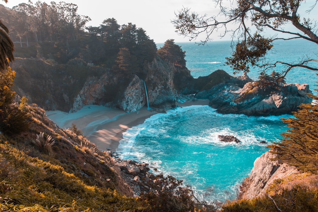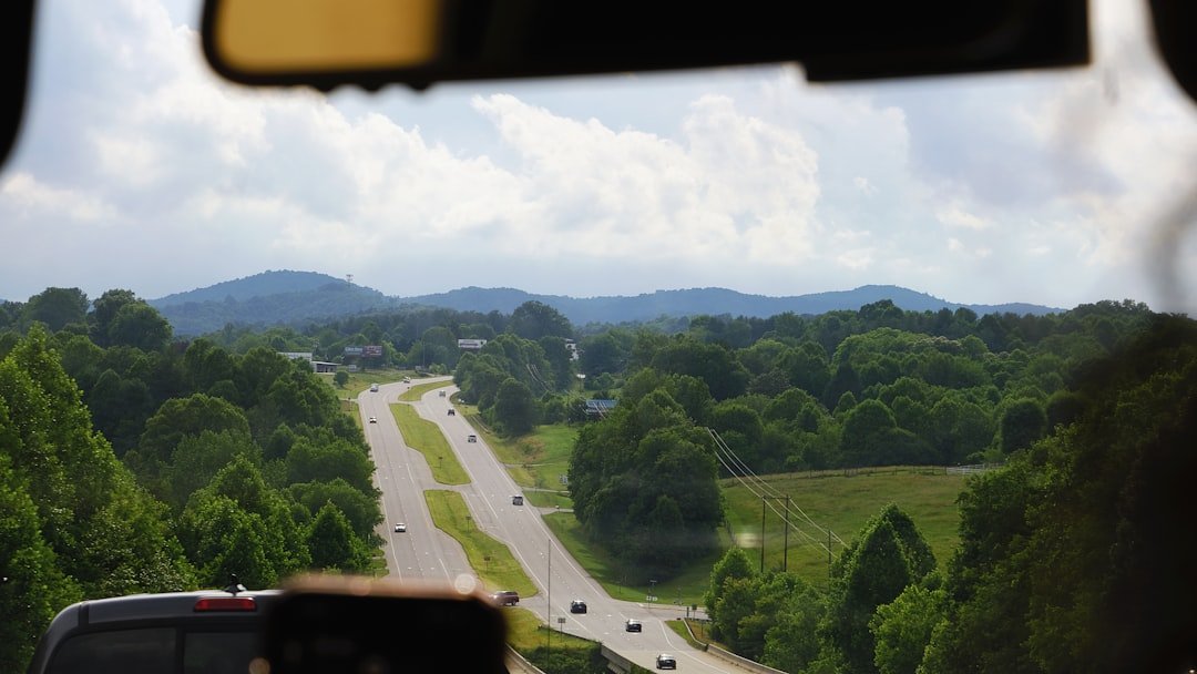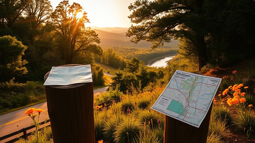
The Natchez Trace Parkway in Alabama covers a compact 32.9-mile section of the scenic road through the northwest corner of the state. Although you can drive it quickly, the route is more rewarding when you stop for short trails, Tennessee River views, Chickasaw history, picnic areas, and nearby visits to Florence and Tuscumbia.
Quick Answer
The Alabama section runs from milepost 341.8 at the Tennessee line to milepost 308.9 at the Mississippi line. Its best stops are Rock Spring, the Trail of Tears Water Route Overlook, Colbert Ferry, Buzzard Roost Spring, Freedom Hills Overlook, and Bear Creek. Allow two to five hours with stops.
Key Takeaways
- The Alabama portion covers about 32.9 parkway miles between mileposts 341.8 and 308.9.
- Colbert Ferry is the most useful main stop for restrooms, picnicking, river views, fishing access, and longer historical walks.
- Rock Spring and Freedom Hills provide the best short nature walks, but both have terrain that may be difficult for some visitors.
- Florence, Tuscumbia, and Muscle Shoals are regional side trips, not towns directly on the parkway.
- Download the official map and check the live road-status page before leaving because cell service and visitor facilities can be limited.
Natchez Trace Parkway Alabama Map and Mileposts
The official Alabama section begins at the Tennessee-Alabama state line at milepost 341.8 and ends at the Alabama-Mississippi state line at milepost 308.9. Milepost numbers decrease as you travel south toward Mississippi and increase as you travel north toward Tennessee.
Use the official National Park Service map to review access roads and points of interest. You can also save the Natchez Trace Parkway section of the NPS app for offline use before your trip.
Use the official parkway map first, then add town stops, overlooks, and side trips that match your available time.
| Milepost | Stop | What You Will Find |
|---|---|---|
| 341.8 | Tennessee-Alabama State Line | Northern boundary of the Alabama section. |
| 330.2 | Rock Spring | A roughly 0.6-mile nature trail with a spring, creek, woodland, and stepping-stone crossing. |
| 328.7 | Trail of Tears Water Route Overlook | Tennessee River overlook, historical interpretation, and picnic tables. |
| 328.6–327.8 | John Coffee Memorial Bridge | The parkway’s long crossing over the Tennessee River. |
| 327.3 | Colbert Ferry | Historical trails, river views, restrooms, picnic areas, boat ramp, fishing access, and bicycle camping. |
| 320.3 | Buzzard Roost Spring | Short walk to a spring and the site of Levi Colbert’s historic stand. |
| 317.0 | Freedom Hills Overlook | Steep, approximately 2,200-foot round-trip walk to an overlook. |
| 313.0 | Bear Creek | Quiet picnic stop near the southern end of the Alabama section. |
| 308.9 | Alabama-Mississippi State Line | Southern boundary of the Alabama section. |
Note: Bear Creek at milepost 313.0 is an Alabama picnic area. Bear Creek Mound at milepost 308.8 is a separate historical stop just across the state line in Mississippi.
Best Natchez Trace Parkway Stops in Alabama
Rock Spring, Milepost 330.2
Rock Spring offers one of the best short nature walks in the Alabama section. The roughly 0.6-mile loop passes a natural spring, Colbert Creek, bottomland, an old field, and a wooded hillside.
The trail is mostly gentle, but a series of widely spaced stones crosses the creek. High water, slippery stones, or balance concerns can make the crossing difficult. Allow about 20 to 40 minutes, depending on trail conditions and how often you stop.
Spring brings wildflowers, while late summer and early fall can attract ruby-throated hummingbirds feeding near the trail.
Warning: The stepping stones can be wet and slippery. Do not enter fast or high water, and wear shoes with reliable traction.
Trail of Tears Water Route Overlook, Milepost 328.7
The Water Route Overlook sits above the Tennessee River shortly before the parkway crosses the John Coffee Memorial Bridge. Interpretive information explains how three detachments of Cherokee people, totaling about 2,800 individuals, traveled by river past this location during forced removal.
This is a suitable place for a quiet stop, a picnic, and reflection. The parking loop is paved, but the picnic tables sit on grass without a defined accessible path.
John Coffee Memorial Bridge, Mileposts 328.6–327.8
The parkway crosses the Tennessee River on the John Coffee Memorial Bridge. You should not stop on the bridge, but the nearby Water Route Overlook and Colbert Ferry provide safer places to see the river and bridge.
Watch for changing wind and weather while crossing. The open river view can feel very different from the shaded forest roads on either side.
Colbert Ferry, Milepost 327.3
Colbert Ferry is the most complete stop in the Alabama section. George Colbert, a Chickasaw leader with a Scottish father and Chickasaw mother, operated a ferry and stand near the Tennessee River during the early 1800s.
Colbert used his knowledge of Chickasaw and European American cultures to build several businesses. His plantation and other enterprises also depended on the forced labor of enslaved African Americans. The NPS interpretation at the site helps explain both his influence and the difficult history connected with the property.
You can choose among several activities:
- Stand-site walk: Take a short path to the ridge where Colbert’s home and stand once stood.
- Old Trace and bluff walk: Follow a roughly 1,200-foot trail toward the old ferry area and a river overlook.
- Picnic: Use shaded tables near the Tennessee River.
- Boating: The site has a public boat ramp, dock, trailer parking, and large parking areas.
- Fishing: Fish from suitable areas while following Alabama licensing rules and park regulations.
- Birdwatching: Look for woodpeckers, swallows, waterfowl, cormorants, and occasional bald eagles.
Colbert Ferry also has accessible restrooms, several accessible parking spaces, an accessible picnic table, and a bicycle-only campground. Some routes between the lower parking area, restrooms, dock, and grassy picnic areas include slopes or stairs.
Pro Tip: Plan your main rest stop at Colbert Ferry. It has more visitor facilities than the other Alabama pullouts and works well for a picnic lunch.
Buzzard Roost Spring, Milepost 320.3
Buzzard Roost Spring preserves the site of a stand operated by Levi Colbert, also known as Itawamba Minko or “Bench Chief.” Stands served as simple inns where travelers could find food, shelter, news, and supplies along the Old Trace.
No building remains, but a short trail leads down to the spring. The descent includes steep steps, so this stop may not work for travelers with limited mobility. Allow about 15 to 25 minutes.
Freedom Hills Overlook, Milepost 317.0
Freedom Hills Overlook requires more effort than its short distance suggests. The paved path climbs about 1,100 feet to the viewpoint, making the round trip approximately 2,200 feet.
The incline is steep, but benches provide places to rest. The overlook reaches about 800 feet in elevation, the highest point on the Natchez Trace Parkway in Alabama. Dogwoods can bloom in spring, and hardwood leaves often make this a rewarding fall stop.
Bear Creek, Milepost 313.0
Bear Creek is a simple picnic area near the southern end of the Alabama section. It is useful for a quiet break, especially if you are continuing toward Tishomingo State Park or Tupelo.
Do not confuse this pullout with Bear Creek Mound at milepost 308.8. The mound is just across the Mississippi state line and includes a paved path to historical interpretation and a view of the mound.
When Is the Best Time to Visit?
Spring and fall usually provide the most comfortable conditions for walking, picnicking, cycling, and photography. Summer can be hot and humid, while winter offers quieter roads but can bring freezing temperatures, ice, and bare trees.
Best Seasons for Visiting
| Season | Highlights | Good Activities |
|---|---|---|
| Spring | Wildflowers, dogwoods, fresh greenery, and mild days | Hiking, birdwatching, and photography |
| Summer | Lush forests, long daylight hours, and hummingbirds | Early walks, picnics, fishing, and boating |
| Fall | Cooler air and changing hardwood leaves | Scenic driving, overlooks, hiking, and photography |
| Winter | Quiet roads and more open views through bare trees | Short walks and peaceful drives in safe weather |
| Anytime | Historical exhibits and designated pullouts | History, picnicking, and relaxed touring |
Weather Tips Before You Go
Northwest Alabama has hot, humid summers and can experience thunderstorms, heavy rain, fog, freezing temperatures, and occasional winter ice. Check the local forecast and the NPS road and site status page before leaving.
- Expect summer heat: Carry more water than you think you will need, especially if you plan to walk Freedom Hills or Rock Spring.
- Prepare for rain: Creek crossings and woodland paths can become wet or slippery after storms.
- Watch for wildlife: Deer and other animals are more active near dawn and dusk.
- Avoid icy conditions: Shaded parkway pavement may remain icy after nearby roads improve.
How to Avoid the Busiest Times
Fall foliage weekends, spring weekends, and holidays can bring more visitors to overlooks and picnic areas. For a quieter experience, visit on a weekday and begin early in the morning.
Early starts also give you softer photography light and cooler temperatures. However, watch carefully for wildlife and cyclists in shaded sections.
Alabama Route Suggestions
Two-Hour Scenic Drive
For a short visit, focus on the Tennessee River area:
- Stop at Rock Spring for a brief walk.
- Pause at the Trail of Tears Water Route Overlook.
- Cross the John Coffee Memorial Bridge.
- Spend the remaining time at Colbert Ferry.
This plan works best if you limit Rock Spring to a short walk and choose one Colbert Ferry trail.
Half-Day Alabama Route
Allow about four to five hours for a fuller trip:
- Rock Spring
- Water Route Overlook
- Colbert Ferry historical area and picnic lunch
- Buzzard Roost Spring
- Freedom Hills Overlook
- Bear Creek picnic area
You may need to skip one trail if you spend extra time at Colbert Ferry or take a long lunch.
Full-Day Parkway and Shoals Route
Spend the morning on the parkway, then leave the route for Florence, Tuscumbia, or Muscle Shoals. Good regional additions include Ivy Green, the Florence Indian Mound and Museum, the W.C. Handy Home, Pope’s Tavern Museum, or one of the area’s music-history sites.
Choose only one or two town attractions. Trying to visit every museum and every parkway trail in a single day will make the trip feel rushed.
Weekend Route
Use Florence, Tuscumbia, or another Shoals-area community as your overnight base. Spend one day exploring the Alabama parkway and one day visiting local historical, architectural, or music attractions.
You can also continue a short distance into Mississippi for Bear Creek Mound at milepost 308.8 and Cave Spring at milepost 308.4.
Historical Sites Near the Alabama Section
The Alabama parkway passes through a region shaped by Chickasaw history, the Tennessee River, forced American Indian removal, plantation slavery, Civil War activity, music, industry, and changing transportation routes.
Historic Towns and Regional Side Trips
- Tuscumbia: Visit Ivy Green, Helen Keller’s birthplace and childhood home. Tuscumbia also provides restaurants, fuel, lodging, and local historical attractions.
- Florence: Explore downtown history, the Tennessee River, the Florence Indian Mound, Pope’s Tavern Museum, the W.C. Handy Home, or the Frank Lloyd Wright-designed Rosenbaum House.
- Muscle Shoals and Sheffield: Add music-history attractions and other sites within the Muscle Shoals National Heritage Area.
- Moulton: Consider Moulton only for a longer regional trip. It is a farther detour from the parkway and is not a direct stop along the Alabama section.
Chickasaw and Trail of Tears History
Colbert Ferry and Buzzard Roost Spring help explain the Chickasaw presence along the Old Trace. George and Levi Colbert operated important stands and used their language skills, family connections, and political influence within a changing borderland.
The Water Route Overlook tells a different story. Cherokee detachments passed the area by river during forced removal in the 1830s. Read the interpretive panels carefully and allow time to reflect on the people affected by federal removal policies.
Civil War Sites and Military History
North Alabama’s river crossings and transportation routes made the region strategically important during the Civil War. For more local interpretation, consider Pope’s Tavern Museum in Florence, which served as a hospital during the conflict, or other sites promoted through the Muscle Shoals National Heritage Area.
Use museum exhibits and official historical markers rather than relying only on short roadside summaries. The region’s Civil War history includes military action, divided communities, slavery, civilian hardship, and the difficult years that followed.
Outdoor Activities Along the Parkway
You can combine a scenic drive with several easy-to-moderate outdoor activities:
- Walking and hiking: Rock Spring, Colbert Ferry, Buzzard Roost Spring, and Freedom Hills provide short trails.
- Picnicking: Water Route Overlook, Colbert Ferry, and Bear Creek have picnic areas.
- Birdwatching: Colbert Ferry is especially useful for spotting river and woodland birds.
- Fishing and boating: Colbert Ferry has a boat launch and fishing access. Follow Alabama licensing requirements and all NPS rules.
- Photography: Use designated pullouts and overlooks instead of stopping on the road shoulder.
- Cycling: Cyclists may use the parkway, but the lanes are narrow and traffic can approach quickly through curves and shade.
Pack water, insect repellent, sunscreen, binoculars, and suitable walking shoes. Cell service is not dependable everywhere, so share your plan with someone before taking a longer walk or bicycle ride.
Hidden Gems and Longer Parkway Extensions
Several popular Natchez Trace attractions often appear in general parkway guides but are not in Alabama. They can still fit a longer trip if you understand the distances involved.
Just South of Alabama in Mississippi
- Bear Creek Mound, milepost 308.8: An American Indian mound site immediately south of the state line.
- Cave Spring, milepost 308.4: A short, steep paved walk to the mouth of a collapsed limestone cavern. Do not enter the cave or drink the spring water.
- Tishomingo State Park access, milepost 304.5: A useful extension for travelers who want more hiking and a longer outdoor visit.
Tennessee Extensions
- Meriwether Lewis, milepost 385.9: Gravesite, historical interpretation, trails, picnic areas, restrooms, and a campground.
- Water Valley Overlook, milepost 411.8: A scenic Tennessee overlook.
- Double Arch Bridge and Birdsong Hollow, milepost 438: A landmark bridge near the northern terminus. Check current road status before planning this section because construction closures may affect access.
Longer Mississippi Extensions
- Jeff Busby, milepost 193.1: Campground, picnic area, trails, and an elevated overlook in central Mississippi.
- Rocky Springs, milepost 54.8: Historic community site, trails, picnic areas, and camping much farther south in Mississippi.
The Natchez Trace Parkway rewards travelers who slow down, read the signs, and leave enough time for small discoveries.
Where to Eat and Stay Near the Alabama Section
The parkway itself has no roadside commercial development, so leave the route for fuel, restaurants, groceries, or lodging. Florence, Tuscumbia, Sheffield, Muscle Shoals, and Cherokee provide the most practical services for an Alabama visit.
You will find hotels, smaller inns, vacation rentals, campgrounds, casual cafes, barbecue restaurants, diners, and Southern-style plate lunches throughout the Shoals region. Book early for fall weekends, festivals, university events, and holiday periods.
The Colbert Ferry campground is only for travelers arriving by bicycle. Motorists who want to camp must use another public or private campground outside this Alabama parkway section.
Pro Tip: Fill your tank and buy food before entering the parkway. Fuel, restaurants, and convenience stores are outside the protected road corridor.
Tips for a Safe and Enjoyable Journey
The Natchez Trace Parkway is designed for a relaxed drive, but its narrow lanes, curves, shade, wildlife, cyclists, and limited shoulders require your full attention.
- Follow the speed limit: The maximum is generally 50 mph unless a lower limit is posted.
- Expect narrow lanes: Parkway lanes are about 11 feet wide and most sections have little or no shoulder.
- Watch for cyclists: Bicycles have the right to use the road. Wait for a clear view and provide at least three feet when passing.
- Use designated pullouts: Do not stop on a blind curve, bridge, travel lane, or narrow shoulder for photographs.
- Watch for wildlife: Slow down near dawn and dusk, when animals may enter the road.
- Avoid severe weather: Do not drive the parkway during heavy rain, ice, snow, or strong wind.
- Carry water and snacks: Services and safe drinking water may not be available when you need them.
- Save your map offline: Cell coverage varies throughout the rural corridor.
- Check current conditions: Construction, fallen trees, storms, flooding, or maintenance can close roads and facilities.
Warning: Do not drive distracted while looking for wildlife, scenery, signs, or mileposts. Pull into a designated parking area before using your phone, checking a map, or taking photographs.
Frequently Asked Questions
How long is the Natchez Trace Parkway in Alabama?
The Alabama section is about 32.9 parkway miles long. It runs from milepost 341.8 at the Tennessee-Alabama line to milepost 308.9 at the Alabama-Mississippi line.
How much time should I allow for the Alabama section?
Allow about one hour for a nonstop drive, two hours for a few short stops, or four to five hours for trails, historical interpretation, and a picnic at Colbert Ferry.
Are pets allowed on the Natchez Trace Parkway?
Yes. Pets are allowed on parkway trails and at viewpoints when kept on a leash six feet or shorter. Clean up after your pet, provide water in hot weather, and remember that only service animals may enter parkway buildings.
Is there an entrance fee?
No. The Natchez Trace Parkway does not charge an entrance fee. Nearby museums, private tours, state parks, and other regional attractions may charge their own admission fees.
What are the parkway’s opening and closing hours?
The motor road is generally available year-round, but weather, construction, emergencies, or maintenance can close sections. Trails are best used during daylight. Restrooms, visitor centers, and other facilities can follow separate schedules.
Where are the restrooms in the Alabama section?
Colbert Ferry at milepost 327.3 is the main Alabama stop with public restrooms. Do not assume that smaller pullouts or picnic areas have toilets.
Can I fish or launch a boat at Colbert Ferry?
Yes. Colbert Ferry has a boat ramp, dock, trailer parking, and fishing access on the Tennessee River. Follow National Park Service rules and carry the fishing license required by Alabama law.
Can RVs drive the Alabama section?
RVs are generally permitted on the parkway and can use many parking areas, including areas at Colbert Ferry. Check bridge-clearance, vehicle-size, access-road, and current closure information before traveling.
How long does it take to drive the entire Natchez Trace Parkway?
The National Park Service recommends allowing at least 10 hours to drive the full 444-mile parkway without extensive sightseeing stops. Most travelers will enjoy it more by dividing the route across two or more days.
Sources
- National Park Service: Natchez Trace Parkway Maps — official interactive map and map resources.
- National Park Service: Parkway Brochures — Alabama mileposts, official stops, facilities, and route boundaries.
- National Park Service: Accessibility, Mileposts 249.6–341.7 — trail surfaces, parking, restrooms, slopes, and accessibility limitations.
- National Park Service: Road and Site Status — current construction, closures, detours, and facility notices.
- National Park Service: Parkway Safety — driving, cycling, trail, weather, and wildlife guidance.
- National Park Service: Pets — leash, cleanup, campground, and building rules.
Conclusion
The Alabama section of the Natchez Trace Parkway may be short, but it offers a well-balanced road trip through river scenery, woodlands, Chickasaw history, Trail of Tears interpretation, and several manageable walking trails.
Start with the official map, plan your main break at Colbert Ferry, and choose trails that match your time and mobility. A two-hour visit covers the highlights, while a full day gives you enough time to add Florence, Tuscumbia, or other Shoals-area attractions without rushing.