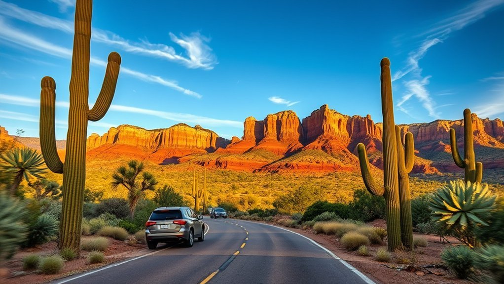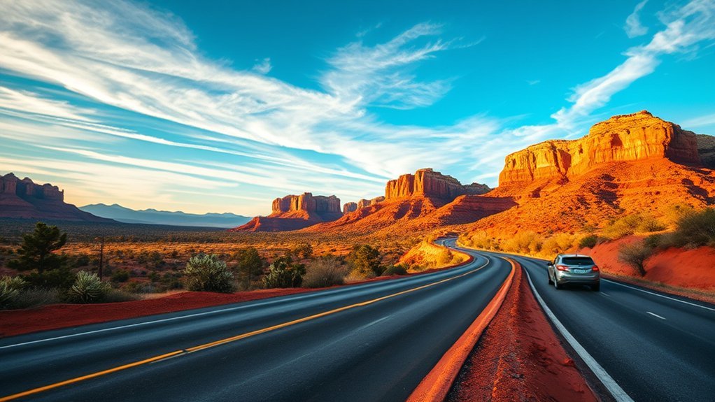
The drive from Phoenix to Sedona is one of the most iconic road trips in the American Southwest, transitioning from the saguaro-dotted valleys of the Sonoran Desert to the towering crimson sandstone buttes of Red Rock Country in under two to three hours. Whether you choose the fast, direct corridor along Interstate 17 or take the leisurely mountain detour through historic mining towns and Verde Valley vineyards, planning your route, scenic stops, and parking permits in advance ensures a smooth and memorable journey.
Quick Answer
The direct drive from Phoenix to Sedona via I-17 North and State Route 179 (Red Rock Scenic Byway) spans 116 miles and takes about 2 hours without stops. For a scenic alternative, take I-17 to SR 260 and SR 89A through Cottonwood and Jerome, which covers roughly 135 miles and takes 3 to 4 hours.
Key Takeaways
- Two Main Routes: I-17 North to AZ-179 is the fastest direct path; AZ-260 to AZ-89A offers historic stops in Cottonwood and the cliffside town of Jerome.
- Pass Requirements: Parking at Coconino National Forest trailheads requires a Red Rock Pass ($5/day, $15/week) or an America the Beautiful Interagency Pass.
- Trailhead Shuttle Access: Major trailheads like Cathedral Rock and Soldier Pass often require using the free Sedona Shuttle during peak periods and weekends.
- Essential Roadside Stop: Exit 242 on I-17 at Black Canyon City provides a historic stop at Rock Springs Cafe for homemade pie and fuel.
Planning Your Route and Timing
When mapping your trip from Phoenix Sky Harbor International Airport or downtown Phoenix to Sedona, choose a route that fits your schedule and sightseeing goals. Traffic conditions on I-17 can fluctuate heavily on Friday afternoons northbound and Sunday evenings southbound, making timing a critical factor.
| Route Option | Distance & Time | Primary Highway Path | Best For |
|---|---|---|---|
| Direct Highway Route | 116 miles (approx. 2 hours) | I-17 N to AZ-179 N (Exit 298) | Quick arrivals, direct red rock views via the Village of Oak Creek |
| Verde Valley Scenic Loop | 135 miles (3.5–4.5 hours) | I-17 N to AZ-260 W, through Cottonwood & Jerome via AZ-89A | Historic towns, cliffside mountain views, local wineries |
For the clearest driving conditions and easy parking at popular trailheads, aim to depart Phoenix at dawn (between 5:30 AM and 7:00 AM). Check live road conditions and highway closures on the Arizona Department of Transportation (AZ511) system before setting out.
Pro Tip: If driving northbound on I-17 on a Friday afternoon, expect heavy commuter and weekend getaway traffic climbing through Black Canyon City and Sunset Point. Leaving before 1:00 PM or after 6:30 PM helps bypass major gridlock.
Best Scenic Stops Along the Way
Breaking up your drive allows you to experience the ecological and historical changes between the Sonoran desert lowlands and the high Coconino Plateau. The following verified stops offer panoramic lookouts, historical landmarks, and scenic breaks along the corridor:
| Stop Name | Location / Highway | Key Highlights |
|---|---|---|
| Sunset Point Rest Area | I-17 (Milepost 252) | Sweeping vistas over the Bradshaw Mountains and Black Canyon; modern rest facilities. |
| Montezuma Castle National Monument | Camp Verde (I-17 Exit 289) | Well-preserved 5-story cliff dwelling constructed by the Sinagua people over 800 years ago. |
| Historic Jerome | AZ-89A (Cleopatra Hill) | Former copper mining boomtown turned artist haven, perched at 5,200 feet overlooking Verde Valley. |
| Old Town Cottonwood | AZ-89A / Main St | Walkable historic district featuring Verde Valley wine tasting rooms, boutique shopping, and craft dining. |
Must-See Lookouts and Photo Spots
Sedona’s landscape of sandstone spires, buttes, and steep canyons provides world-class photography opportunities. Planning your arrival around sunrise or golden hour yields dramatic lighting across the red rocks.
Airport Mesa Overlook
Located on Airport Road off AZ-89A, Airport Mesa Overlook offers an expansive 360-degree view of Sedona’s central basin, including Capitol Butte, Coffee Pot Rock, and Bell Rock. It is one of the most accessible sunset spots in town. Parking at the immediate scenic saddle viewpoint is limited to roughly 10 vehicles; alternative parking is available at the top Airport Mesa parking area for a small fee, connected via the Airport View Trail.
Photography Tip: Use a circular polarizer during midday to reduce glare on the red sandstone, or bracket three to five exposures during sunset to capture both the shadowed canyon bottoms and the glowing sky.
Cathedral Rock Vistas
Cathedral Rock is among the most photographed sandstone formations in the Southwest. The classic reflection viewpoint is accessible from Red Rock Crossing at Crescent Moon Picnic Site, where Oak Creek creates calm pools that mirror the rock spires at sunset. For hikers climbing toward the saddle, the late afternoon sun illuminates the sheer rock faces in vibrant deep-orange tones.
Red Rock Scenic Byway
Designated as Arizona’s first All-American Road, the Red Rock Scenic Byway (State Route 179) stretches 7.5 miles from Interstate 17 into Sedona. The route passes directly between Bell Rock and Courthouse Butte, offering multiple paved turnouts, informative interpretive plaques, and trail access points.
Hiking Trails for Every Skill Level
The Phoenix-to-Sedona corridor and the Red Rock Ranger District of the Coconino National Forest host hundreds of miles of multi-use trails. Whether looking for a flat, shaded nature walk or an exposed slickrock scramble, select trails that match your preparation level.
| Trail Name | Difficulty | Distance & Elevation | Trail Experience |
|---|---|---|---|
| Bell Rock Pathway | Easy | 3.6 miles roundtrip / 200 ft | Wide, hard-packed path suitable for all fitness levels with direct views of Bell Rock. |
| Devil’s Bridge Trail | Moderate | 4.0 miles roundtrip / 560 ft | Popular hike leading to a natural sandstone arch. Involves steep stone steps near the top. |
| Cathedral Rock Trail | Challenging | 1.2 miles roundtrip / 740 ft | Steep slickrock ascent requiring hand-and-foot scrambling through a narrow crevice. |
| Bear Mountain Trail | Strenuous / Expert | 5.0 miles roundtrip / 2,000 ft | Unrelenting, exposed climb over rocky false summits yielding 360-degree canyon views. |
Warning: Always stay on marked trails to protect the fragile, dark-crusted biological soil crust that stabilizes the desert ecosystem against erosion. Footprints can destroy decades of microbial growth.
Where to Eat: Cafes, Diners, and Iconic Stops
The culinary journey from Phoenix to Sedona includes classic roadside comfort food, local southwestern fare, and farm-to-table dining along Oak Creek.
Classic Arizona Diners
Along the initial stretch of I-17, authentic diners serve classic road trip fare. Stopping at Rock Springs Cafe in Black Canyon City (Exit 242) is a century-old Arizona tradition. In continuous operation since 1918, it is renowned for fresh fruit and cream pies, slow-smoked barbecue, and hearty breakfast platters that provide energy for morning hikes.
Scenic Cafe Stops
Once you reach Sedona and the Verde Valley, several scenic cafes combine local coffee with canyon atmospheres:
| Establishment | Location | Atmosphere & Specialty |
|---|---|---|
| Indian Gardens Cafe & Market | Oak Creek Canyon (SR 89A) | Shaded garden patio, artisan sandwiches, specialty espresso, and craft beer. |
| Pump House Station Urban Eatery | Sedona (Tlaquepaque area) | Rustic lodge setting featuring organic breakfast, fresh bakery items, and pour-over coffee. |
| Crema Craft Kitchen + Bar | Old Town Cottonwood | Courtyard dining serving artisan pastries, local espresso, and gourmet brunch skillets. |
Iconic Roadside Eateries
If you take the scenic detour through the Verde Valley, stop at the Haunted Hamburger in Jerome. Perched high on Cleopatra Hill, it offers panoramic valley views from its porch alongside charcoal-broiled burgers. In Sedona proper, Elote Cafe stands as an acclaimed culinary landmark, serving upscale Mexican and Southwestern dishes centered around locally sourced ingredients.
Small Towns and Local Art Scenes
The Verde Valley region boasts rich arts communities. In Sedona, visit the Tlaquepaque Arts & Shopping Village, an outdoor market designed in the style of a traditional Spanish-colonial village, featuring sycamore-shaded courtyards, working bronze sculptors, weaving studios, and fine art galleries.
In the historic mining town of Jerome, dozens of independent artisan studios occupy restored 19th-century brick buildings. Local ceramicists, jewelers, and painters display works directly in their working studios along the steep hillside switchbacks.
Outdoor Activities Beyond Hiking
Beyond traditional foot trails, Sedona and the Verde Valley offer world-renowned technical mountain biking routes, sandstone climbing, and off-road driving tours.
Mountain Biking Trails
Sedona is internationally recognized for its mountain biking infrastructure, offering high-traction slickrock riding and technical singletrack. Popular routes include the Chuckwagon Trail for flowy intermediate terrain and the Slim Shady Trail for fast descents and rolling terrain beneath the red rock formations. Bike rentals and trail maps are widely available at local shops in West Sedona and the Village of Oak Creek.
Rock Climbing Spots
Sedona’s Supai and Coconino sandstone provides unique traditional climbing, tower ascents, and bouldering opportunities:
| Climbing Style | Notable Locations | Terrain & Requirements |
|---|---|---|
| Tower & Spires (Trad) | The Mace, Earth Angel, Queen Victoria | Multi-pitch traditional routes requiring gear placement in soft sandstone; helmet mandatory. |
| Bouldering | Anvil Boulders, Grasshopper Point | Pocketed sandstone blocks offering problems ranging from V1 to V10; crash pads required. |
Practical Tips: Vehicle, Weather, and Safety
Planning for seasonal temperature shifts and desert driving conditions keeps your road trip safe and hassle-free:
- Summer Heat Precautions: Temperatures in Phoenix frequently exceed 105°F (40°C), while Sedona averages 95°F to 100°F (35°C–38°C) between June and August. Carry at least one gallon (4 liters) of water per person per day.
- Vehicle Maintenance: The long, continuous highway climb on I-17 from Phoenix (elev. 1,086 ft) to the Verde Valley and Sedona (elev. 4,350 ft) puts high strain on engine cooling systems. Turn off vehicle air conditioning if the temperature gauge spikes during steep grades.
- Monsoon Safety: From July through September, sudden afternoon thunderstorms can trigger flash flooding in narrow canyons and across low-water road crossings. Never enter flooded washes.
Overnight Stays and Where to Sleep
Accommodations in Sedona and the surrounding Verde Valley cater to diverse travel budgets and lodging styles:
| Accommodation Type | Locations & Examples | Features & Considerations |
|---|---|---|
| Developed Campgrounds | Cave Springs, Manzanita (Oak Creek Canyon) | Creek-side forest camping along SR 89A; reservations on Recreation.gov fill months ahead. |
| Hotels & Boutique Inns | Uptown Sedona & West Sedona | Walkable access to galleries, fine dining, and local tour departure points. |
| Verde Valley Value Stays | Cottonwood & Camp Verde | Cost-effective base 20–25 minutes outside Sedona with vibrant local dining. |
Packing Checklist and Day-Trip Essentials
To stay comfortable and safe while exploring the trails and lookouts, pack the following essentials in your daypack:
- Hydration System: Refillable insulated water bottle or 2–3 liter hydration bladder.
- Sun Protection: Broad-spectrum SPF 30+ sunscreen, UV-rated sunglasses, and a wide-brim sun hat.
- Footwear: Sturdy hiking boots or trail runners with sticky rubber outsoles for traction on sandstone slickrock.
- Navigation Tools: Downloaded offline maps (such as AllTrails or Google Maps) due to intermittent cell coverage in deep canyons.
- Passes: Red Rock Pass or America the Beautiful Interagency Pass displayed on your vehicle dashboard.
Frequently Asked Questions
Can I bring my dog to trails and restaurants along the route?
Yes. Most trails in Coconino National Forest welcome dogs on a standard 6-foot leash. Many restaurant patios in Sedona, Cottonwood, and Jerome are dog-friendly, provided pets remain leashed and well-behaved. Remember to carry extra water and dog booties to protect paws from hot sandstone and pavement.
Are state or national park passes required for stops?
Yes, depending on where you stop. Parking at designated USFS trailheads around Sedona requires a Red Rock Pass ($5 daily, $15 weekly) or an America the Beautiful Interagency Pass. Arizona State Parks like Slide Rock and Red Rock State Park charge separate per-vehicle day-use entrance fees ($10 to $20 depending on the season).
What cellphone carriers have reliable service between Phoenix and Sedona?
Verizon and AT&T offer reliable cellular coverage along the main I-17 corridor and within Sedona and Cottonwood city limits. T-Mobile provides good coverage in developed towns, though all carriers experience dead zones inside deep sections of Oak Creek Canyon and along remote western canyon trailheads.
Where are EV charging stations located en route?
Direct fast-charging corridors (Tesla Superchargers and Electrify America Level 3 DC fast chargers) are conveniently situated along I-17 at Anthem, Cordes Lakes (Cordes Junction), Camp Verde, and within Sedona and Cottonwood.
Are there guided tours that include jeep rides and wine tasting?
Yes. Several Sedona- and Cottonwood-based outfitters offer package tours combining rugged 4×4 off-road backcountry jeep excursions with guided tastings at Verde Valley vineyards in Page Springs and Cornville.
Conclusion
The drive from Phoenix to Sedona is far more than a simple transit route; it is an evolving showcase of central Arizona’s diverse topography and history. Whether you choose the speed of Interstate 17 directly to the Red Rock Scenic Byway or take a winding detour through the historic streets of Jerome and the Verde Valley, coming prepared with proper passes, trail knowledge, and plenty of water guarantees a smooth, scenic desert road trip.
Sources
- USDA Forest Service: Coconino National Forest — Official trailhead regulations, fire restrictions, and Red Rock Pass requirements.
- Arizona Department of Transportation (AZ511) — Real-time highway conditions, construction updates, and I-17 travel alerts.
- City of Sedona Official Transit Network — Trailhead shuttle schedules, route maps, and parking lot closure schedules.
- National Park Service: Montezuma Castle National Monument — Visitor access information and cultural preservation history.