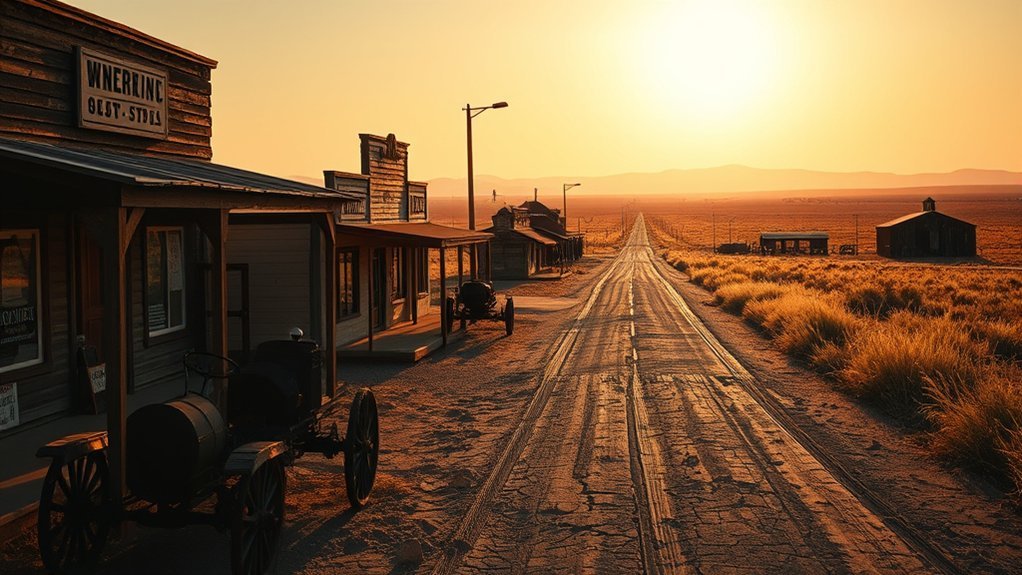
If you are looking for ghost towns near Lawton, Oklahoma, the best place to start is not with faraway communities such as Picher or Texola. The strongest local connection is the old mining settlement of Meers and the short-lived gold-rush camps of the Wichita Mountains. Farther across Oklahoma, places such as Texola, Ingersoll, Fallis, Ingalls, Lenora, and Picher offer additional ghost-town history for longer road trips.
Quick Answer
Meers and the former mining camps of the Wichita Mountains provide the most relevant ghost-town history near Lawton. Several towns often included in Oklahoma ghost-town guides, including Texola, Picher, Ingalls, Ingersoll, Lenora, and Fallis, are much farther away and are better treated as separate statewide road-trip destinations.
Key Takeaways
- Meers is the key local ghost-town story: the Comanche County mining settlement reached about 500 residents before the early-1900s mining bust.
- The Wichita Mountains had several boom settlements: Wildman, Golden Pass, Craterville, Oreana, Hollis, Doris, and Meers grew during the gold-rush era.
- Most towns in statewide ghost-town lists are not near Lawton: Texola, Skedee, Picher, Lenora, Ingalls, Ingersoll, Fallis, and Cayuga are in other parts of Oklahoma.
- Picher requires special caution: the former mining community lies within the Tar Creek Superfund Site and is not a casual abandoned-building exploration destination.
- Check current access rules before leaving: closures, extreme heat, private property, military-installation security, and active remediation can affect what you can safely visit.
What Are Ghost Towns and Why Explore Them?
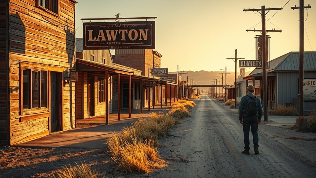
The term ghost town does not always mean a completely empty town. The Oklahoma Historical Society notes that historian John W. Morris included communities that no longer exist, places where surviving homes and businesses are largely unused, and towns whose population fell by at least 80 percent from their peak.
That distinction matters around Lawton. Some historic settlements have almost disappeared, while others still have a handful of residents, businesses, roads, cemeteries, or surviving structures. Their stories reflect mining booms and busts, railroad decisions, agricultural changes, natural disasters, and shifting transportation routes.
Exploring this history can be rewarding, but the safest experience usually comes from public roads, museums, marked historic sites, official trails, and places where access is clearly permitted. Old buildings, mine openings, fenced areas, remediation zones, and private land should never be treated as open invitations to explore.
Meers and the Wichita Mountains: The Ghost-Town History Closest to Lawton
For a Lawton-focused trip, Meers is the most important place to understand. According to the Oklahoma Historical Society’s Comanche County history, miners established Meers during the Wichita Mountains gold excitement. The settlement had a smelter and reached a peak population of about 500 before the mining bust caused its decline in 1905.
Meers was part of a much larger wave of prospecting. The Oklahoma Historical Society’s history of gold mining records more than 2,000 mining claims in the Wichita Mountains between 1901 and 1910. Prospectors established or expanded settlements including:
- Meers
- Wildman
- Golden Pass
- Craterville
- Oreana
- Hollis
- Doris
The boom did not last. Although prospectors found mineralization, commercially profitable gold deposits did not develop on the scale promoters hoped. Mining activity faded, and many of the camps disappeared or shrank dramatically.
The Wichita Mountains gold rush produced some of the most relevant ghost-town history for travelers starting in Lawton.
Warning: Do not enter abandoned mine shafts, unstable ruins, fenced land, closed refuge areas, or private property. Historic mining landscapes can contain hidden openings, rough terrain, deteriorated structures, and other hazards even when little remains above ground.
Texola: A Route 66 Stop on Oklahoma’s Western Edge
Texola has genuine ghost-town appeal, but it is not near Lawton. It sits in Beckham County near the Oklahoma-Texas state line. The community developed along a railroad constructed through the area in 1902 and later became closely associated with Route 66.
The Oklahoma Historical Society reports that Texola’s population peaked at 581 in 1930 and declined sharply afterward. However, describing it as completely abandoned is inaccurate: the 2020 census recorded 43 residents.
Texola is better described as a dramatically reduced Route 66 community than as a completely deserted town.
- Magnolia Service Station: The historic station was added to the National Register of Historic Places in 1995.
- Route 66 heritage: Texola preserves a strong connection to the rise and decline of travel along the Mother Road.
- Small remaining population: The town still existed as an incorporated community at the 2020 census.
Texola can make sense as part of a western Oklahoma or Route 66 road trip, but travelers starting in Lawton should not confuse it with a nearby local ghost town.
Skedee: A Small Historic Pawnee County Town, Not an Oil-Boom Ghost Town
Skedee is another place that needs careful labeling. It is in Pawnee County in north-central Oklahoma and remains a very small incorporated town rather than a vanished Lawton-area settlement.
According to the Oklahoma Historical Society, Skedee was established as a railroad town in 1902. Its economy centered mainly on agriculture. Local farmers raised livestock and cotton, while a feed mill, grain elevator, cotton gin, school, churches, and bank supported the community.
The population declined over the decades, reaching 51 in 2010 before the 2020 census reported 64 residents. One of the town’s distinctive historic features is the Bond of Friendship statue depicting Osage Chief Bacon Rind and oil-lease auctioneer E. E. Walters.
Skedee is historically interesting, but the original description of it as a town destroyed by an oil boom and exhausted oil wells is not supported by the Oklahoma Historical Society’s history.
Picher: The Environmental Legacy of Lead and Zinc Mining
Picher, in far northeastern Oklahoma, is one of the state’s best-known abandoned mining communities. It grew rapidly after lead and zinc discoveries and became a major center of the Tri-State Mining District.
The Oklahoma Historical Society reports that Picher had 1,640 residents in 2000 but only 20 in the 2010 census. Mining ended decades earlier, while contaminated mine water, waste piles, subsidence risks, and other environmental problems contributed to relocation and abandonment.
The environmental story remains current. The U.S. Environmental Protection Agency describes the Tar Creek area as one of the nation’s largest Superfund sites. Historic mining left extensive lead- and zinc-contaminated waste, abandoned mine features, and contaminated water across the district.
Warning: Picher should not be treated as a casual abandoned-building exploration destination. Stay out of fenced, posted, private, unstable, contaminated, or active-remediation areas. Never climb mine-waste piles or enter abandoned structures or mine openings.
Picher’s importance comes from both its industrial history and the environmental consequences that followed. It is a powerful case study in what can happen when a community’s economy and landscape depend heavily on extractive industry.
Discover Lenora: A Dewey County Ghost Town
Lenora belongs in a statewide Oklahoma ghost-town discussion, but not as one of Lawton’s local ghost towns. It is in Dewey County in western Oklahoma.
Historical material preserved by the Gateway to Oklahoma History includes a 1903 fire-insurance map documenting Lenora as an established Oklahoma Territory community. Historic newspapers from Lenora also survive in the Oklahoma Historical Society’s digital collections.
| Feature | Verified Detail | Why It Matters |
|---|---|---|
| Location | Dewey County | It is not a Lawton-area town |
| Documented Community | Mapped by 1903 | Confirms an established territorial-era settlement |
| Historic Records | Maps and newspapers survive | Useful for researching the former community |
| Trip Type | Western Oklahoma road trip | Better treated separately from nearby Lawton sites |
Lenora is most rewarding for travelers interested in researching vanished communities rather than expecting a preserved attraction with formal visitor facilities.
Ingalls: Tales of Outlaws and the 1893 Gunfight
Ingalls, in Payne County, is closely associated with the Doolin-Dalton gang and one of Oklahoma Territory’s best-known outlaw confrontations.
On September 1, 1893, U.S. marshals confronted gang members at Ingalls. Historical material preserved by the Oklahoma Historical Society records that three marshals and two residents were killed, several people were wounded, and one outlaw was captured.
- The Battle of Ingalls: The 1893 confrontation became an important episode in Oklahoma Territory’s outlaw era.
- Signet name: The community was briefly renamed Signet in the 1920s before the Ingalls name returned.
- Historical interpretation: A stone monument and reconstructed features help mark the community’s outlaw history.
Ingalls is much closer to the Stillwater area than to Lawton, so it fits better into a north-central Oklahoma history trip.
Unique Features of the Oklahoma Ghost Towns Mentioned Here
The towns in this guide declined for very different reasons, which is one reason Oklahoma ghost-town history is more interesting than a simple collection of abandoned buildings.
Ingersoll, in Alfalfa County, developed around the railroad and later lost its struggle to become the county seat. Oklahoma Historical Society census-based history records 253 residents in 1910, while state tourism material describes a much larger short-lived early boom. Its old grain elevator remains one of the best-known physical reminders of the former community.
Fallis, in Lincoln County, became an agricultural trade center at a railroad crossroads. The Oklahoma Historical Society reports that Lincoln County’s first oil well was drilled nearby in 1904. Fallis later became associated with writers and artists including Jennie Harris Oliver and Vingie Roe. The 2020 census reported just 20 residents.
Cayuga, in northeastern Delaware County, is associated with Mathias Splitlog and the surviving Gothic-style Cayuga-Splitlog Mission Church. Oklahoma’s official tourism guide reports that the church was completed in 1896 and historically had a 1,600-pound bell. Like Fallis and Ingersoll, however, Cayuga is far from Lawton.
Texola represents transportation decline along the western edge of the state, while Picher represents the rise and environmental aftermath of large-scale mining. Together, these communities show that Oklahoma ghost towns were created by many different forces rather than one single pattern.
How to Explore Ghost Towns Responsibly
Many ghost-town sites are not formal attractions. Some consist only of roads, foundations, cemeteries, scattered structures, or traces on private land. A responsible visit protects both you and the historic site.
- Stay on public roads and clearly permitted areas. Do not assume an abandoned-looking property is public.
- Never enter unstable structures or mine openings. Floors, roofs, walls, shafts, wells, and hidden voids can fail without warning.
- Respect fences and signs. Fencing may protect private property, active remediation work, wildlife habitat, military land, or hazardous areas.
- Leave artifacts where they are. Historic objects, cemetery items, building pieces, and archaeological material should remain undisturbed.
- Do not climb waste piles or ruins. This is especially important around historic mining districts.
- Download maps before leaving populated areas. Rural cellular coverage may be unreliable.
Pro Tip: Research the history before the drive. A location that looks like an empty field becomes much more meaningful when you know where its depot, mine, school, church, or business district once stood.
When Is the Best Time to Explore Ghost-Town History Near Lawton?
Spring and fall are generally more comfortable for outdoor historical exploration in southwest Oklahoma than the hottest part of summer. Early morning also gives you cooler conditions and better light for photographing old structures and landscapes.
Summer trips require extra care. As of August 15, 2026, the Wichita Mountains Wildlife Refuge has a temporary extreme-heat restriction in effect until further notice. Hiking is permitted only from sunrise until 10 a.m., and hikers must leave trails and the Mt. Scott roadway by 10 a.m. Refuge roads remain available for motorized travel and bicycles under current rules.
Note: Access rules can change after publication. Check the official refuge page, weather conditions, road closures, and property restrictions on the day of your trip.
How to Make the Most of Your Ghost-Town Adventure
Start with a realistic route. If you are based in Lawton, focus first on Meers and Wichita Mountains mining history rather than trying to combine distant towns such as Picher, Texola, and Ingalls into one trip.
Bring water, sun protection, sturdy footwear, a charged phone, and an offline map. A camera or binoculars can add to the trip without requiring you to enter unsafe structures. Historical maps from the Oklahoma Historical Society can also help you understand places where very little remains today.
If a site is on private property, admire it from a lawful public location unless you have explicit permission to enter. If an old building is fenced, posted, structurally unstable, or inside an environmental cleanup area, do not enter it.
For a more educational trip, pair ghost-town landscapes with museums, historic sites, and official visitor centers. These places provide context that an abandoned foundation or empty road cannot provide on its own.
Nearby Attractions to Explore Around Lawton
Several established attractions near Lawton complement the area’s mining and settlement history without requiring access to abandoned private property.
- Wichita Mountains Wildlife Refuge: Located just outside the Lawton-Fort Sill area, the refuge protects roughly 60,000 acres of prairie, granite mountains, lakes, and wildlife habitat. Check current alerts before hiking.
- Fort Sill National Historic Landmark and Museum: The museum interprets military, social, cultural, and regional history. Because Fort Sill is an active military installation, review current visitor-entry requirements before traveling.
- Medicine Park: Founded in 1908, this nearby community is known for its distinctive cobblestone architecture and its location beside the Wichita Mountains.
These stops provide a useful contrast to vanished mining camps: the Wichita Mountains show the landscape that attracted prospectors, Fort Sill explains a major part of southwest Oklahoma history, and Medicine Park demonstrates how another early-20th-century community survived and reinvented itself.
Frequently Asked Questions
What ghost town is closest to Lawton, Oklahoma?
Meers is the strongest documented ghost-town connection in Comanche County. It developed during the Wichita Mountains mining boom, reached about 500 residents, and declined after mining failed to produce the expected wealth.
What is the most famous ghost town in Oklahoma?
There is no official “most famous” ghost town, but Picher is among Oklahoma’s best-known abandoned communities because of its major lead-and-zinc mining history, population collapse, environmental contamination, and inclusion in the Tar Creek Superfund Site.
Are you allowed to visit Picher, Oklahoma?
There is not a simple blanket rule making every road through the former Picher area illegal to enter, but the district contains private property, contaminated land, hazardous mine features, fenced areas, and active remediation work. Do not enter posted, fenced, private, unstable, or remediation areas, and do not treat abandoned structures as public attractions.
Is Skedee, Oklahoma, really a ghost town?
Skedee is better described as a very small historic town. The Oklahoma Historical Society reports that it remained incorporated and had 64 residents in the 2020 census. Its historical economy centered mainly on agriculture and the railroad rather than an oil boom.
Is Texola, Oklahoma, completely abandoned?
No. Texola has many characteristics associated with a ghost town because its population fell dramatically, but the Oklahoma Historical Society reports that 43 residents were counted there in 2020. It also retains important Route 66 history, including the National Register-listed Magnolia Service Station.
Is it illegal to visit ghost towns?
Visiting a historic community from public roads or an authorized historic site is not inherently illegal. The problem is access: abandoned-looking buildings and land can still be privately owned, fenced, closed, environmentally restricted, or unsafe. Obey signs, property boundaries, road closures, and agency rules.
What is Lawton, Oklahoma, famous for?
Lawton is closely associated with Fort Sill and the nearby Wichita Mountains. For visitors interested in ghost-town history, the Wichita Mountains are especially relevant because the area’s gold-rush era produced Meers and several other short-lived mining settlements.
Conclusion
Ghost-town exploration around Lawton starts with the history of Meers and the Wichita Mountains mining boom. Those sites provide a much stronger local connection than distant Oklahoma communities such as Texola, Picher, Ingalls, Ingersoll, Lenora, Fallis, or Cayuga. By separating nearby history from statewide road-trip destinations, checking current access rules, and respecting private and hazardous areas, you can explore Oklahoma’s abandoned-town history with better context and fewer risks.
Sources
- Oklahoma Historical Society: Ghost Towns — ghost-town definitions, causes of abandonment, and Meers classification.
- Oklahoma Historical Society: Gold — Wichita Mountains prospecting and the mining settlements that grew during the gold rush.
- Oklahoma Historical Society: Comanche County — Meers, its mining history, peak population, and decline.
- U.S. Environmental Protection Agency: Tar Creek Superfund Site — contamination, mine waste, abandoned mine features, and cleanup context around Picher.
- U.S. Fish & Wildlife Service: Wichita Mountains Wildlife Refuge — current visitor alerts, recreation rules, wildlife, and refuge information.
- U.S. Army: Fort Sill National Historic Landmark and Museum — museum information and current visitor-access guidance.