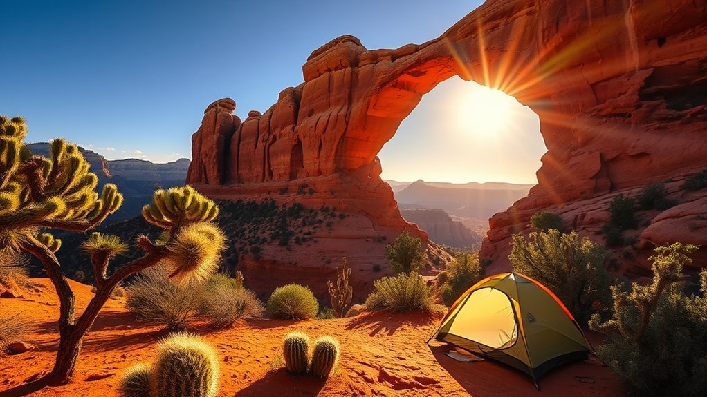
If you’re planning hikes around Flagstaff, you’ll find trails that suit fast summit days, mellow forest walks, and quirky volcanic features. You’ll want solid shoes, layered clothing, and plenty of water for altitude and sudden weather. Below are reliable options—from the Humphreys Peak climb to easy rim loops—so you can pick a route that matches your fitness and time, and keep exploring farther into northern Arizona.
Humphreys Peak via Summit Trail
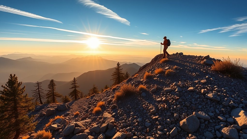
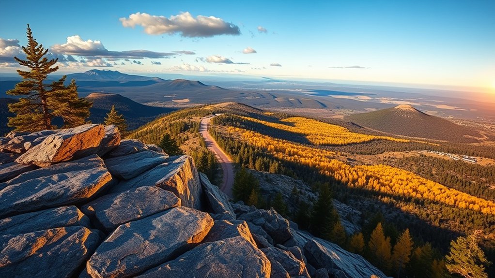
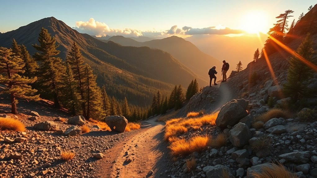
Tackle Humphreys Peak via the Summit Trail for the highest and most rewarding hike in Arizona — a steep, well-marked route that climbs about 3,000 feet over roughly 4.4 miles one-way. You’ll start in fragrant ponderosa forest, pass alpine meadows, and enter rocky talus as elevation strips oxygen and vegetation. Move at a steady, conservative pace; the trail gets exposed and wind can be brutal near the ridge. Bring layers, sunscreen, and at least two liters of water — you’ll use them. Wear sturdy boots and trekking poles to ease knee strain on descent. Check weather and snow reports; storms can arrive fast, and snow persists into summer some years. Aim for a dawn start to avoid afternoon thunderstorms and secure parking. Expect spectacular 360-degree views from the summit and feel the effort justify the panorama. Descend deliberately, watching for loose rock and fatigue, and leave no trace to protect this fragile alpine environment.
Fatmans Loop and Lava Flow Trail
Start at the Lava Flow Trailhead and you’ll quickly sense why Fatmans Loop is a compact favorite — it weaves across recent pahoehoe and aa lava fields, skirts dramatic cinder cones, and offers sweeping views of the San Francisco Peaks in fewer than three miles. You’ll follow a well-marked path over jagged and glassy rock; sturdy footwear and deliberate steps matter. The loop connects to shorter spurs, so you can tailor distance and time. Expect sparse shade, brisk winds, and photogenic contrasts between black lava and alpine pines. Carry water, sun protection, and a simple map; footing can be uneven and navigation relies on cairns and signs.
| Feature | Tip | Why it matters |
|---|---|---|
| Distance | ~2.5 miles | Quick outing or warm-up |
| Elevation gain | ~300 ft | Moderate effort |
| Terrain | Lava fields | Tough on thin-soled shoes |
| Views | Peaks & cones | Great photo ops |
| Facilities | Trailhead parking | No services — plan ahead |
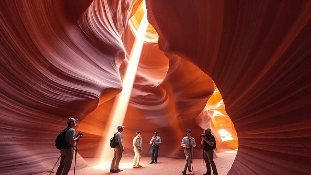
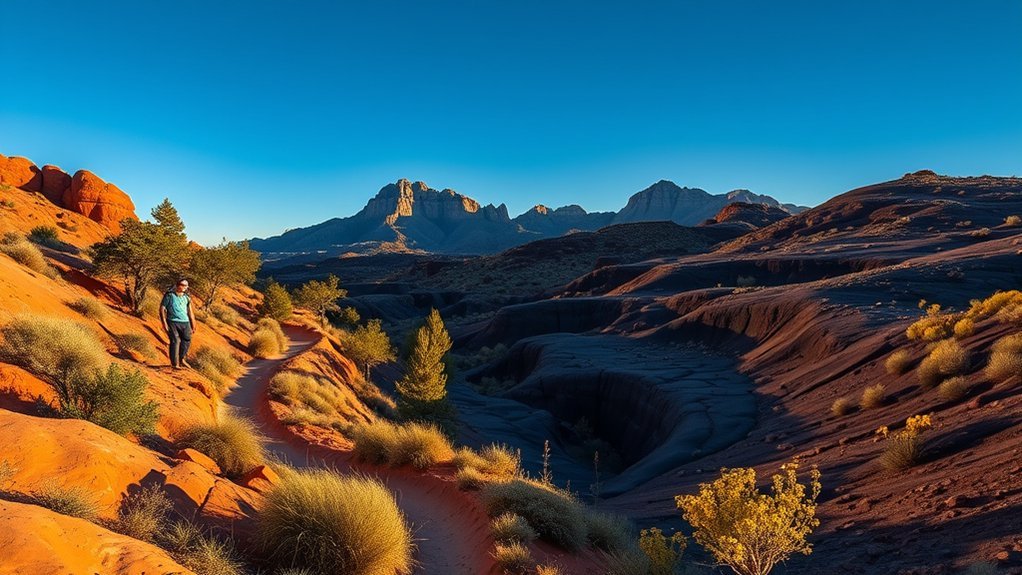
Walnut Canyon Rim and Island Trail
You’ll start at the rim where sweeping canyon views give you a clear sense of the landscape’s layers and scale. Walk the Island Trail to descend among well-preserved Sinagua ruins built into the canyon walls, with interpretive signs that explain their history. Bring sturdy shoes and water—the switchbacks and uneven steps reward you with close-up views and great photo spots.
Canyon Rim Views
When the canyon opens up before you, the Walnut Canyon Rim and Island Trail offer sharp views of layered sandstone walls, juniper-studded rims, and the ancient dwellings tucked into alcoves below. You’ll find several short overlooks and pullouts where the vista widens, so pause to scan strata lines that record millions of years. Binoculars help spot cliff vegetation, nesting raptors, and subtle color shifts at different light. Trails stay close to the edge but are well-maintained; keep to designated paths to protect fragile soil and plant life. Morning or late afternoon light brings the best contrast and cooler temperatures. Bring water, sun protection, and steady shoes—the exposed rim provides minimal shade but maximum photographic and geological payoff.
Island Trail Ruins
From the rim’s overlooks you can climb down to the Island Trail to get eye-level views of the cliffside dwellings and footsteps carved into the canyon’s history. You’ll descend a well-maintained path with stone steps and railings that make the steep switchbacks manageable. The ruins sit in alcoves where Sinagua families once lived; you’ll notice masonry, storage niches, and charred beams that tell daily-life stories. Take your time reading interpretive signs and photographing details without touching fragile surfaces. Wear sturdy shoes, bring water, and avoid peak heat hours—the trail gets exposed and narrow. You’ll leave with a clearer sense of human adaptation to this rugged environment and practical route knowledge for future visits.
- Trail: moderate, 0.9 miles round trip
- Facilities: visitor center, restrooms
- Tips: shade is limited; pack water
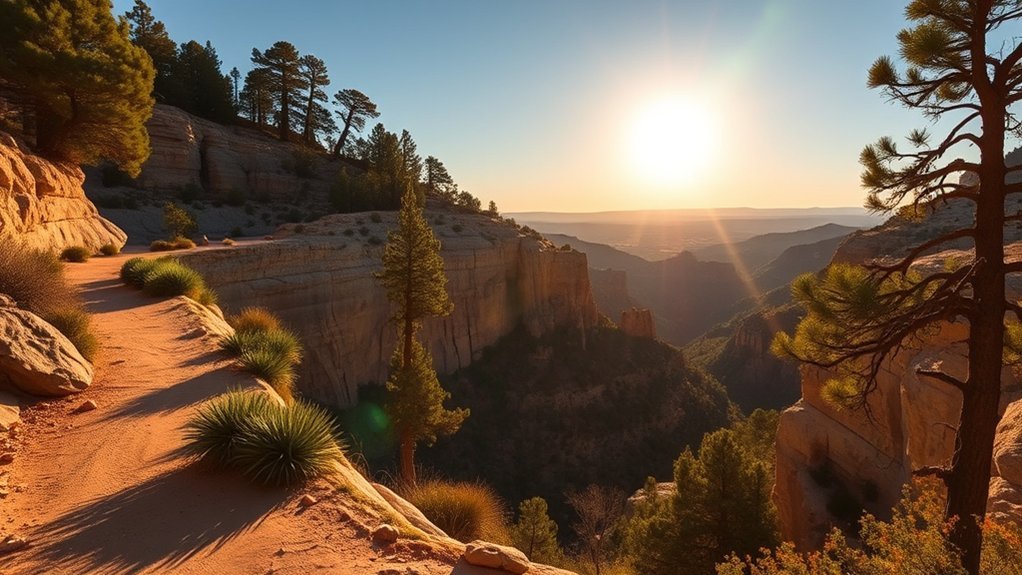
Elden Lookout and Inner Basin Trail
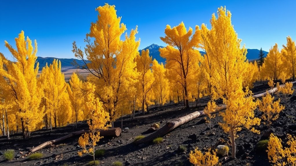
Tackle the Elden Lookout and Inner Basin Trail for a compact, high-reward hike that packs panoramic views and diverse forest scenery into a relatively short route. You’ll start with a steady climb up to the Elden Lookout tower, where sweeping views of Flagstaff, the San Francisco Peaks, and surrounding juniper and ponderosa forests reward your effort. From the lookout, follow the Inner Basin Trail into a sheltered volcanic crater filled with mixed conifer stands, wildflower meadows in season, and cool shaded creeks. The footing varies—packed dirt, rocky sections, and occasional roots—so wear sturdy shoes and bring trekking poles if you like extra balance. Expect about 2–4 miles round-trip depending on your detour choices, and moderate elevation gain that warms you quickly. Carry water, sun protection, and a map or phone with navigation; cell service can be spotty. Aim for early morning or late afternoon to avoid heat and catch softer light on the scenery.
Kachina Trail to Kendrick Peak Overlook
You’ll follow the Kachina Trail as it climbs through mixed forest and volcanic rock, with switchbacks and occasional loose scree that demand steady footing. Keep an eye out for wide-open views that open up near the Kendrick Peak overlook, where you’ll get panoramic vistas of Flagstaff, the San Francisco Peaks, and distant desert. Plan for changing weather and bring layers, water, and a map so you can focus on the scenery and tricky terrain without surprises.
Trail Route and Terrain
Start the Kachina Trail with steady footing: the route climbs through mixed Ponderosa forest, crosses a few short, rocky stretches, then opens onto alpine meadows before the final steeper scramble to Kendrick Peak Overlook. You’ll navigate packed dirt that becomes loose scree near the summit; roots and occasional boulders demand watchful steps. Switchbacks ease grade in places, but expect a sustained uphill rhythm. Trail markers are intermittent—stay on the worn tread and check your map or GPS. Seasonal conditions change footing: snow can hide rocks, and summer monsoons make sections slick. Pace yourself, shorten your stride on steeper pitches, and use trekking poles for stability. Prepare for shifting terrain underfoot and adjust boots and cadence accordingly.
- Roots and rocky ledges
- Loose scree near summit
- Well-defined switchbacks
Views and Highlights
When the forest opens onto the alpine meadows, you’ll be rewarded with sweeping views of the San Francisco Peaks, rolling aspen groves, and the jagged silhouette of Kendrick Peak rising above; on clear days you can pick out Flagstaff to the south and distant desert mesas to the north. From the Kachina Trail junction you’ll gain repeated vantage points: layered ridgelines, volcanic cones, and seasonal wildflower carpets. The Kendrick Peak Overlook gives a broad, unobstructed panorama—ideal for sunrise or late-afternoon light. Bring a windproof layer and a camera with a polarizer to cut glare. Binoculars help with distant landmarks. Note sun exposure and changing weather; plan timing to avoid afternoon thunderstorms and enjoy cooler temperatures and clearer air for the best visibility.
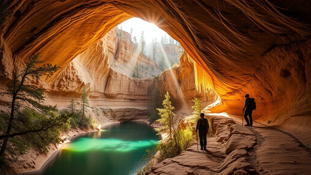
Lava River Cave and Bonito Trail Loop
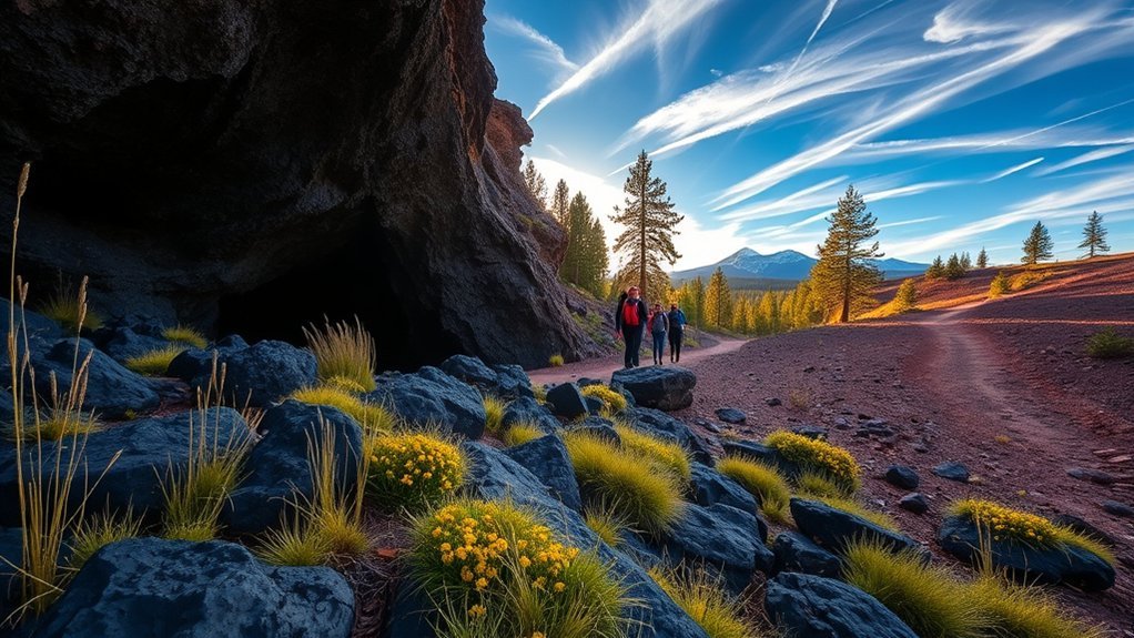
Although the lava tube runs cool and dark beneath the San Francisco Peaks, the Lava River Cave and Bonito Trail loop offers a surprisingly varied hike you can manage in a half-day. You’ll enter the cave with a headlamp, feel the temperature drop, and navigate smooth basalt passages—watch your step and helmet advice matters here. After the cave, the Bonito Trail climbs through ponderosa forest, opening to volcanic vistas and wildflower-filled meadows in season. The loop balances spelunking, easy scrambling, and shaded walking, so pack layers, water, sturdy shoes, and spare batteries.
A cool lava tube and sunny Bonito Trail combine cave passages, ponderosa forests, and volcanic vistas for a varied half-day hike.
- Route basics: ~4–5 miles total, moderate difficulty, allow 3–4 hours.
- Safety tips: helmet or hard hat, steady light source, check for closures, let someone know your plan.
- What you’ll see: lava formations, tree-lined switchbacks, panoramic views of Flagstaff and the Peaks.
You’ll finish refreshed, with varied terrain and geological contrasts that make this loop one of the area’s standout half-day outings.
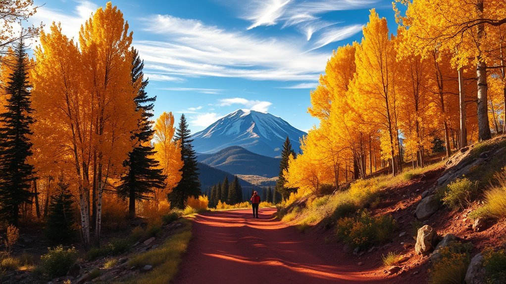
Schultz Creek and Lake Mary Loop
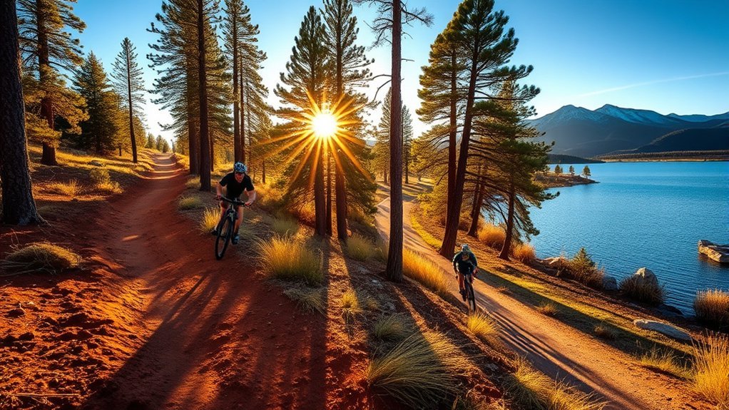
Winding through fragrant ponderosa and aspen groves, the Schultz Creek and Lake Mary loop gives you a peaceful, family-friendly hike that mixes gentle creekside walking with open-water views. You’ll follow a mostly flat, well-marked trail that circles the smaller Schultz Creek section before opening onto Lake Mary’s shoreline, so bring layers—the shade under trees stays cool while the lakeside can be breezy. The full loop ranges around 3–5 miles depending on your chosen connectors; it’s good for kids, dogs on leash, and easy daypacks. Keep an eye out for birdlife and seasonal wildflowers near the creek; benches and picnic spots make it convenient to rest. Water and restrooms are limited, so carry supplies and check local conditions in winter when snow can linger. Parking fills up on weekends, so arrive early or plan a weekday visit. The trail’s gentle grade and clear footing make navigation straightforward for most fitness levels.
Little Elden Trail and West Ridge Route
You can reach Little Elden Trail and the West Ridge Route from several trailheads near Flagstaff, with clear signage and parking at the base. Expect a mix of well-maintained singletrack and steeper, rockier sections that raise the difficulty and require steady footing. Bring water and binoculars—those higher ridges reward you with wide views of the San Francisco Peaks and frequent sightings of jays, mule deer, and raptors.
Trail Basics and Access
Before you head out, know the basics for Little Elden Trail and the West Ridge Route so you can pick the right route, gear, and timing. You’ll find clear trailheads, well-marked junctions, and nearby parking—arrive early on weekends to secure a spot. Both trails have seasonal access considerations: limited winter services, possible snow, and summer afternoon thunderstorms. Carry a map or GPS; cell coverage can be spotty. Dogs are allowed on leash, and you’ll find restroom facilities at main trailheads but not along the routes. Leave no trace and pack out waste. Trailhead coordinates and mileage are posted at the trail kiosks, and shuttle or bike options are rare, so plan your return.
- Parking: small lots, first-come
- Permits: none required
- Water: bring your own
Terrain and Difficulty
Although both routes stay relatively close to Flagstaff’s volcanic rim, they present different challenges you’ll want to match to your fitness and footing, with Little Elden Trail offering moderate, well-graded singletrack and the West Ridge Route demanding steeper, rockier sections and occasional loose scree. You’ll find Little Elden smoother underfoot, with short climbs and packed dirt that suit steady hiking and casual runners. West Ridge requires careful foot placement, short scramble moves, and good balance on exposed sections. Pack poles if you want extra stability. Check recent trail reports for erosion or winter ice. Match your pace: take breaks on steeper pitches, and turn back if footing feels unsafe.
| Feature | Comparison |
|---|---|
| Surface | Packed dirt vs rock/scree |
| Grade | Gentle vs steep |
| Technicality | Low vs moderate-high |
| Gear hint | Shoes vs poles/boots |
| Fitness | Casual to fit |
Views and Wildlife
Having picked your route and settled on pace, take a moment to look up: both Little Elden Trail and the West Ridge Route reward effort with distinct panoramas and wildlife encounters. You’ll see layered volcanic ridgelines, ponderosa forests, and sweeping views of Flagstaff and the San Francisco Peaks. Keep your camera ready for golden hour; light transforms rock and tree silhouettes. Wildlife is common but often shy—mule deer graze at dawn, jays and woodpeckers flit through trunks, and you might spot a red-tailed hawk riding thermals above the ridge. Move quietly, respect distance, and store food securely to avoid habituating animals.
- Wide ridge views and peak vistas
- Frequent small mammals and songbirds
- Hawk thermals and occasional elk sightings
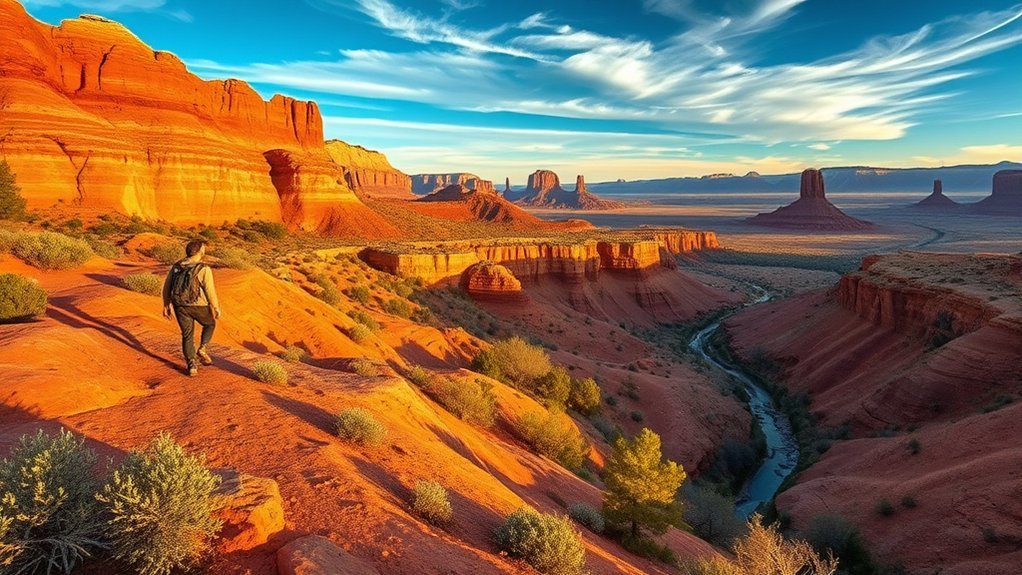
Dry Lake Hills and Lower Lake Loop
If you’re looking for a moderate, day-friendly outing close to Flagstaff, the Dry Lake Hills and Lower Lake Loop delivers a mix of open ridgelines, ponderosa stands, and seasonal meadows without demanding a full-day commitment. You’ll start on well-marked multiuse trails that climb gently, offering sweeping views of San Francisco Peaks and occasional elk or deer sightings in cooler hours. The Lower Lake section wraps you around a shallow basin where wildflowers appear in spring; expect some rocky stretches and short steeper pitches. Bring layered clothing, water, and a map or GPS—shade is intermittent. Trail surfaces are mostly packed dirt with loose stones near ridge edges, so steady shoes are key. Parking is limited on busy weekends; arrive early. Dogs on leash are common. The loop’s length and elevation gain make it ideal for a brisk half-day hike or a relaxed picnic stop with panoramic vistas.
| Distance | Elevation Gain | Difficulty |
|---|---|---|
| 4–6 miles | 400–800 ft | Moderate |
Weatherford Trail to Flagstaff Urban Trailhead
From the Dry Lake Hills loop you can drop back toward town and pick up the Weatherford Trail, a pleasant route that leads you steadily down into Flagstaff’s urban trail network. You’ll follow well-maintained singletrack through ponderosa and mixed conifer, watching the elevation and vegetation change as you descend. The grade’s moderate, so you can maintain a comfortable pace while scanning for birdlife, basalt outcrops, and sweeping views of the San Francisco Peaks.
As you approach the urban trailhead, the scenery shifts to residential streets and multi-use paths, giving you options to continue exploring or loop back. The route is ideal for a morning run, an easy mountain-bike descent, or a family hike.
- Distance: roughly 2–3 miles from Dry Lake Hills to the trailhead, depending on connectors
- Difficulty: easy to moderate, steady downhill return requires attention on loose sections
- Tips: bring water, wear grippy shoes, and check trail closures during wet seasons
Frequently Asked Questions
Are Dogs Allowed on These Trails and Are Leashes Required?
Yes — you can bring dogs on many trails, but leash rules vary by area; you’ll usually need a leash in developed parks and trailheads, whereas some National Forest sections allow voice control. Carry water, waste bags.
Are Trailheads Accessible by Public Transportation?
Some trailheads are reachable by public transit, but many aren’t; you’ll need to check local bus routes, seasonal shuttles, or rideshares, plan extra time for transfers, and confirm current schedules and trailhead stops before going.
What Permits or Fees Are Needed for Overnight Camping?
You’ll usually need a free or low‑cost backcountry permit for overnight camping in national forests, and campsite fees or reservations in developed campgrounds; check Forest Service and park websites, and reserve ahead for popular trailheads.
What Wildlife Precautions Should Hikers Take (Bears, Snakes)?
Stay alert for snakes and bears: carry bear spray, make noise, store food in bear-resistant containers or hung properly, watch where you step, avoid rattlesnake habitats, keep dogs leashed, and back away slowly if you encounter wildlife.
Are Any Trails Wheelchair or Stroller Accessible?
Yes — a few trails are wheelchair- or stroller-accessible. You’ll find paved or compacted routes like sections of the Rio de Flag Greenway and portions of Buffalo Park’s loop; check trailhead signage for gradient, surfaces, and parking.
Conclusion
Whether you’re chasing summit views, wandering lava flows, inspecting cliff dwellings, or strolling lakeshores, pack layers, water, and sturdy shoes. Expect changing weather, high elevation, and varied terrain; plan extra time, check conditions, and leave no trace. Hike responsibly, know your limits, and savor the pines, aspens, and volcanic vistas. Return ready to rest, return keen to explore, and return wiser about Flagstaff’s wild, beautiful trails.