Jerome-area hikes can feel easy at the trailhead and much harder once heat, loose rock, and elevation enter the picture. You’ll find shaded river paths, marsh boardwalks, rocky overlooks, and high ridgelines within a short drive. Use this guide to choose a route that fits your time, fitness, weather, and comfort with exposed terrain.
What’s in This Article
- Hike Through Dead Horse Ranch State Park
- Stroll the Verde River Trail
- Explore the Mingus Mountain Area
- Trek the Sycamore Canyon Rim Trail
- Walk the Dead Horse Mesa Overlook Trail
- Hike Near Jerome Ghost Town Ruins
- Traverse the Sacred Mountain Trail
- Journey Along the Woodchute Trail
- Ramble the Jerome to Clarkdale Connector
- Adventure on the Tavasci Marsh Boardwalk
- How to Choose the Right Jerome-Area Hike
- Frequently Asked Questions
Quick Answer
The best hikes near Jerome, Arizona, depend on your goal. Choose Dead Horse Ranch State Park, the Verde River Trail, or Tavasci Marsh for easier walks, and choose Mingus Mountain, Woodchute Trail, or Sycamore Canyon Rim for harder terrain and bigger views. Start early, carry water, and check local trail conditions before you go.
Key Takeaways
- Pick a Jerome-area trail based on heat, distance, elevation, and shade.
- Carry water, sun protection, sturdy shoes, and an offline map on every hike.
- Use Dead Horse Ranch, Verde River, and Tavasci Marsh for easier outings.
- Save Mingus Mountain, Woodchute, and Sycamore Canyon routes for stronger hikers.
- Stay on marked paths to protect desert plants, wetlands, ruins, and fragile soils.
Hike Through Dead Horse Ranch State Park
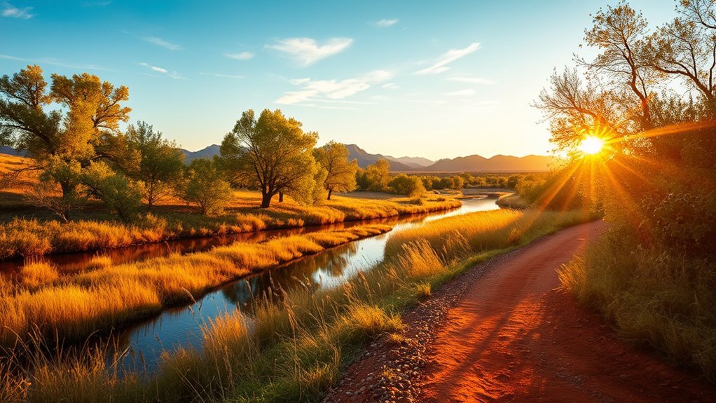
At Dead Horse Ranch State Park, you can choose well-marked paths that suit casual walkers and more active hikers. Trails wind near cottonwoods, marshes, ponds, and riverside meadows.
Pick your route by distance, shade, and terrain. Flat pond loops work well for easy walks and birdwatching, while longer connector trails reach broader views of Verde Valley.
Pack water, sun protection, and a basic first-aid kit. The high desert sun and fast temperature swings can surprise you. Stay on signed routes to protect wetlands, and avoid thick brush where snakes may hide at dawn and dusk.
Bring a paper map or download an offline trail map because cellphone service can be spotty. Wear sturdy shoes for uneven boardwalks and muddy sections. If you bring a dog, keep it leashed and pack out waste.
Stroll the Verde River Trail
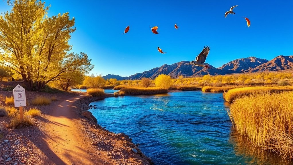
The Verde River Trail gives you a gentler hike close to water, trees, and wildlife. Plan your arrival around heat, parking, and how far you want to walk.
The path stays mostly flat and shaded for long stretches. You’ll find steady river views, easy photo stops, and a slower pace than the rocky ridge routes near Jerome.
Stay on the maintained trail, watch uneven footing near the banks, and keep pets leashed. Leashes protect wildlife, other hikers, and your dog.
Trailhead and Access
From the small parking area at Dead Horse Ranch State Park, follow the signed path toward the Verde River Trailhead. Check posted maps, trail rules, and current conditions before you start.
The surface may shift from packed dirt to decomposed granite. Wear sturdy shoes, and expect some uneven sections. Bike and equestrian use may occur, so yield with care and speak clearly when you pass.
Restrooms and potable water sit near the main park areas, but you should refill before you hike. If you plan a longer loop, leave your route with someone and do not rely on cell coverage alone.
Scenic River Views
Take a slow, steady pace along the Verde River Trail and let the river guide your rhythm. Its riffles, cottonwoods, and occasional heron sightings add interest without hard navigation.
You’ll stay close to water, with shaded stretches and open banks that reveal rock layers and wildlife. Wear sturdy shoes, bring water, and watch for slippery rocks near crossings.
- Carry 1 to 2 liters of water per person for a short to moderate hike.
- Wear closed shoes with good grip.
- Respect posted signs and private property.
- Keep dogs leashed near wildlife and other trail users.
Explore the Mingus Mountain Area
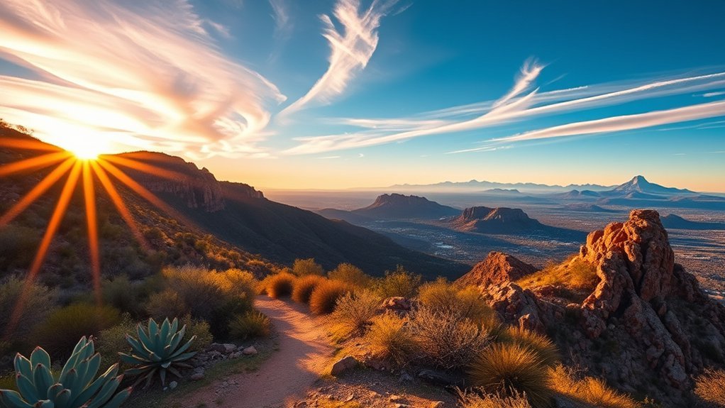
Heading into the Mingus Mountain area rewards you with cooler air, wide canyon views, and changing high-desert and pine forest terrain. Routes in this area can feel much cooler than lower Verde Valley trails.
You may follow a well-marked trail that gains elevation at a steady pace. Expect loose rock, occasional steep turns, and stretches where shade changes fast.
Pace yourself, drink water often, and carry layers. Temperatures can drop quickly under the pines, especially near sunset or during storms.
Navigation may feel simple on marked paths, but you should carry a map or use a downloaded route. Cell service is spotty, so do not use your phone as your only safety tool.
Trail surfaces vary from packed dirt to rocky footing. Sturdy boots and trekking poles can improve balance. Keep space from wildlife, secure food, and stay on the trail to protect fragile plants.
Warning: Mountain weather can change fast, so turn back if wind, lightning, or poor visibility develops.
Trek the Sycamore Canyon Rim Trail
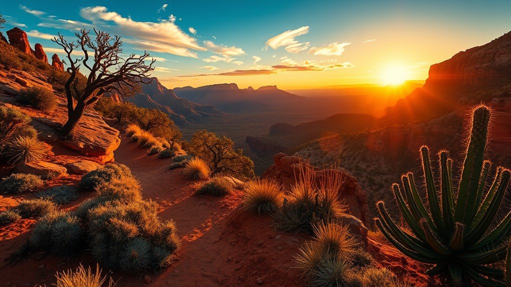
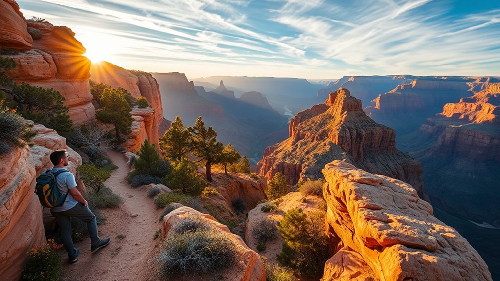
Start early to beat the heat and see the canyon in clear morning light. The Sycamore Canyon Rim Trail rewards steady hikers with red-rock overlooks, narrow ridgelines, and pine-shaded breaks.
You’ll follow defined switchbacks and exposed stretches where good footing matters. Wear grippy boots, test each step, and slow down on loose rock.
Pack water, sun protection, and a map. Cell service is unreliable, so tell someone where you plan to go and when you expect to return.
Start early, carry more water than you think you need, and turn back before heat or weather makes the rim unsafe.
- Distance and difficulty: Expect a moderate to strenuous hike if you choose a longer rim route.
- Navigation: Use cairns, blazes, a topographic map, or a downloaded GPS file.
- Wildlife and plants: Watch for rattlesnakes, juniper roots, and loose scree.
- Timing and weather: Avoid midday heat and descend to safer terrain if lightning approaches.
Keep a steady pace and check conditions before you go. Turn back if the route, weather, or your energy level no longer feels safe.
Walk the Dead Horse Mesa Overlook Trail
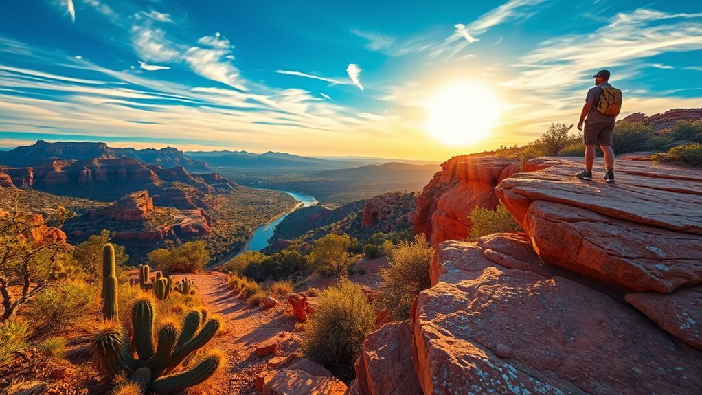
The Dead Horse Mesa Overlook Trail gives you a short, steady walk to a broad, exposed viewpoint. From the overlook, you can scan Verde Valley and distant high-country ridges.
The trail stays well-defined but rocky. Wear sturdy shoes with good tread, and watch your footing on loose gravel.
Expect minimal shade. Bring sun protection, a hat, and at least one liter of water per person for a short visit in warm weather.
The overlook drops away quickly in places. Keep children and dogs close, and do not step near edges for photos. Stay on the main path to prevent erosion and protect desert plants.
Sunrise and late afternoon often offer the best views and cooler temperatures. Check weather before you go, especially during monsoon season, and allow enough time to return before dark.
Hike Near Jerome Ghost Town Ruins
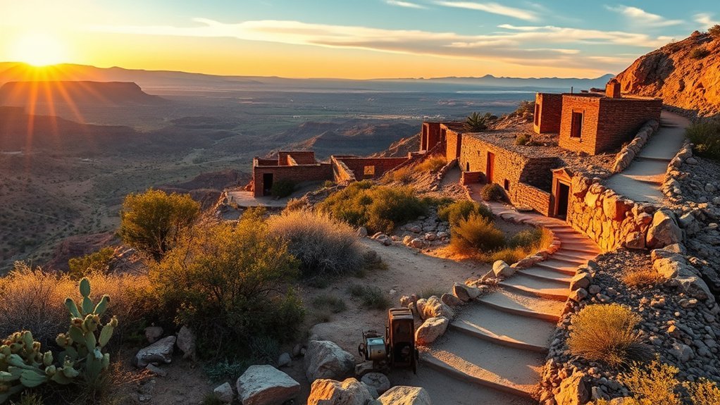
Jerome’s mining history adds a different feel to nearby walks. You can pair short routes, park paths, and overlook stops with views of old foundations, equipment, and mining features.
Watch your footing on loose shale, and expect steep sections, sun exposure, and unstable structures. Carry water, wear sturdy shoes, and never enter fenced, closed, or collapsing areas.
Along the route, you may see foundation walls, tailings, and rusted equipment tied to Jerome’s mining past. Take photos, read posted panels where available, and leave artifacts in place.
Route and Trailhead Details
Because the ruins sit near town, choose a legal, posted access point before you start. Public access, closures, and private property boundaries can change.
If you start near a public parking area, follow marked paths and posted signs. Expect narrow, unpaved surfaces, short climbs, and loose footing in places.
Do not cross fences, enter mine openings, or step into closed areas. Stick to established routes to avoid unstable ground and protect historic resources.
- Start: Use a posted public trailhead or park access point.
- Distance: Plan a short outing unless posted maps show a longer route.
- Elevation change: Expect moderate climbs near town.
- Navigation: Follow signs, maps, and posted closure notices.
Safety and Terrain Tips
The terrain can be uneven and loose. Take deliberate steps, wear sturdy hiking shoes, and use trekking poles if you want more balance.
Stay alert for loose rock, slick clay after rain, and sudden drop-offs near old mine cuts. Test footholds before you shift your weight.
Carry layered clothing, a hat, at least 1.5 liters of water per person, and a basic first-aid kit. Tell someone your plan, and check weather and park notices before you leave.
Historical Highlights and Ruins
As you explore the area around Jerome ghost town ruins, focus on the remains of a mining community. You may see collapsed timber supports, rusted headframes, stone foundations, and tailings.
Bring a camera and record signs or plaques from a safe distance. Never enter shafts, tunnels, fenced areas, or unstable structures.
- Read: Use interpretive signs for history and hazard warnings.
- Avoid: Stay away from open mine portals and unstable beams.
- Observe: Look for foundations, cisterns, and tailings piles.
- Respect: Leave artifacts in place and report hazards to park staff.
Traverse the Sacred Mountain Trail
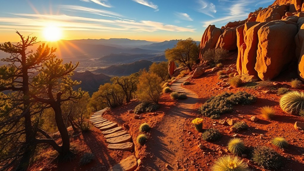
If you want a challenging day hike, the Sacred Mountain Trail may reward you with sweeping canyon views and quiet pine ridgelines. Confirm access, route details, and land rules before you start.
You’ll likely cover varied terrain, including rocky switchbacks, exposed ridgelines, and shaded pine stretches. Wear sturdy boots, carry trekking poles, and start early to avoid the worst heat.
Bring at least 2 to 3 liters of water, sun protection, a map, and a basic first-aid kit. Cell service can be spotty, so share your route with someone before you go.
Watch for loose scree on descents, and use cairns, blazes, or posted markers to stay on the route. Straying damages fragile vegetation and can increase erosion.
Expect changing conditions as you gain elevation or move into shade. If weather turns, turn back early instead of pushing toward the end of the trail.
Journey Along the Woodchute Trail
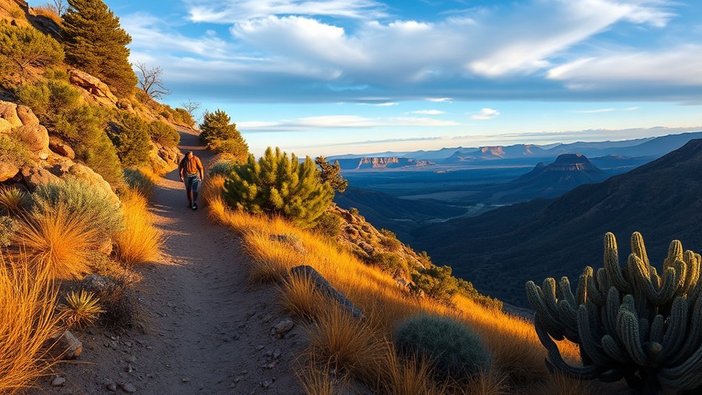
The Woodchute Trail climbs through mixed pine and oak near Jerome and Mingus Mountain. It gives you frequent overlooks of Verde Valley and a cooler feel than lower desert routes.
Expect a moderate climb, well-marked switchbacks, rocky sections, and exposed ridgelines where wind can pick up. Carry water, layered clothing, and a map or downloaded route.
Cell signal can be spotty. Watch for loose rock on descents, and step carefully on steeper pitches.
Wildlife encounters can happen, so give animals space and secure food. Plan your hike around heat, daylight, and storm risk.
- Elevation and distance: Expect a moderate, steady climb.
- Water and heat: Carry extra water and hike during cooler hours.
- Footing: Use poles if loose rock affects your balance.
- Navigation: Follow markers and carry a backup map.
Pro tip: Download your map before leaving Jerome because many trailheads lose service quickly.
Ramble the Jerome to Clarkdale Connector
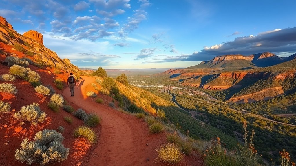
The Jerome to Clarkdale Connector gives you a more rugged walk between historic communities and Verde Valley views. Plan parking with care because spaces near narrow roads can fill quickly.
The route climbs and drops through mixed singletrack and rocky sections. Watch your footing, pace yourself on short steep pitches, and stop in safe places for views.
You’ll see layered canyon views and Verde Valley overlooks. Bring sun protection, water, and enough time to finish before dark.
Trailhead and Parking
At a marked Jerome-area access point, park only where signs allow. Do not block driveways, gates, pullouts, or narrow roads.
Put on sturdy shoes before you leave the parking area. Check posted maps for distances, permitted uses, closures, and emergency information.
Pack out trash, lock valuables, and expect limited cell service. Leave gates as you find them and avoid unsafe turns on narrow roads.
- Arrive early on busy weekends.
- Use pullouts only for safe, brief stops.
- Follow posted vehicle limits.
- Report trail hazards to the proper local agency.
Terrain and Elevation
From the parking area, the trail can shift from packed dirt to rocky, uneven surfaces. Keep your footing and watch for loose scree on steeper pitches.
You may climb quickly on exposed sections where each step matters. Use trekking poles if you have them, and move slowly when descending rough ground.
Expect narrow singletrack mixed with wider service-grade stretches. Roots and ledges require more care after rain. Watch for intermittent trail markers, cairns, or blazes, and avoid unmarked side paths.
Scenic Highlights
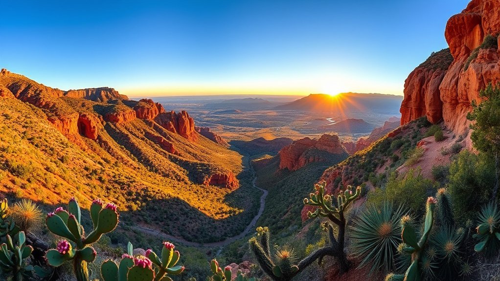
You’ll focus on footing much of the way, but the crests can open to sudden panoramas over Verde Valley. Cottonwood, Clarkdale, the Verde River, and red-rock ridges may appear from higher points.
Vegetation changes as you move through the route. Look for manzanita and juniper on slopes, cottonwoods near washes, and seasonal wildflowers after wet periods.
Pack water and a hat. Exposed viewpoints offer little shade, and wind can hide how hot you feel.
- Crest viewpoint: Best for sunrise, but watch your footing.
- River outlook: Easier to enjoy with water and shade breaks.
- Red-rock ridges: Good for photos from a safe distance.
- Juniper flats: Useful for rest, but check for ticks.
Adventure on the Tavasci Marsh Boardwalk
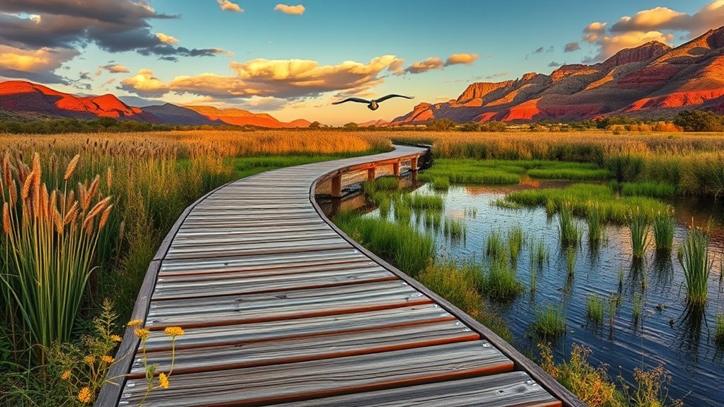
The Tavasci Marsh boardwalk offers a short, quiet walk through wetland habitat. Listen for birdcalls and watch the water as you step onto the elevated path.
You’ll follow a flat, maintained boardwalk through cattails and willows. Keep your eyes open for marsh birds, dragonflies, and signs of beaver activity.
Move with care because boards can become slick after rain. Wear sturdy shoes and watch for gaps, loose planks, or puddled sections.
Bring binoculars and a field guide so you can identify wildlife without disturbing nests. Stay on the boardwalk to protect fragile vegetation and reduce erosion.
Midday sun can feel intense, so pack water, sunscreen, and a hat. Mornings and evenings often give you better light, cooler air, and more wildlife activity.
How to Choose the Right Jerome-Area Hike
Choose your hike by matching the route to your time, fitness, and weather. An easy riverside walk can still feel hard if you start too late on a hot day.
Use lower, flatter routes when you want shade, wildlife, or a family-friendly outing. Use higher trails when you want views, cooler air, and a stronger workout.
- Best easier options: Dead Horse Ranch State Park, Verde River Trail, and Tavasci Marsh Boardwalk.
- Best view-focused options: Mingus Mountain, Woodchute Trail, and Sycamore Canyon Rim.
- Best history-focused option: Walks near Jerome’s mining ruins and historic park areas.
- Best hot-weather strategy: Start early, stay near shade, and shorten the route if needed.
Note: Trail access, parking, and closures can change, so check posted local information before hiking.
Frequently Asked Questions
Are Dogs Allowed on These Trails and Are Leash Laws Enforced?
Dogs are allowed on many Jerome-area trails, but you should check the rules for each park, forest, or preserve before you go. Keep your dog leashed, carry waste bags, and bring water for both you and your pet.
What Is the Best Season for Wildflower Viewing Near Jerome?
Spring, especially March through May, often brings the best wildflower viewing near Jerome. Bloom timing depends on winter rain, elevation, and heat, so check local reports before planning a wildflower hike.
Are Guided or Ranger-Led Hikes Available in the Area?
You may find guided or ranger-led hikes through nearby parks, forest offices, local groups, or outfitters. Check current schedules before your trip because programs change by season, staffing, weather, and trail conditions.
Where Are the Nearest Medical Facilities or Emergency Services?
Cottonwood is the nearest larger community for medical care and emergency services near Jerome. For an emergency on the trail, call 911 when service allows, move to a safer location if you can, and share your route before you hike.
Is Dispersed or Primitive Camping Permitted Along These Trails?
Camping rules vary by land manager, and many trail areas require designated sites or restrict camping near water, wetlands, roads, and historic resources. Check the current rules for the exact route before you camp, build a fire, or leave a vehicle overnight.
The best Jerome-area hike is the one that matches your skill, the weather, and the time you have. Start with easier river and marsh walks if you want a relaxed day, or choose higher ridgelines when you’re ready for rougher footing and bigger views. Bring water, sturdy shoes, sun protection, and a map on every route. Hike smart, respect posted signs, and let each overlook feel like a reward you earned.