Key takeaways
- Easy option: the paved Walking Path connects viewpoints (about 0.5 miles one way).
- Short but steep: the canyon trails are brief, yet the climb back up can feel strenuous.
- Know the rules: pets aren’t allowed on hiking trails, and swimming/wading under the bridge is prohibited.
Getting to Tonto Natural Bridge State Park and Visitor Info
Tonto Natural Bridge State Park is in central Arizona near Payson, with access off State Route 87 near the community of Pine (park address: NF-583A). Park maps list the entrance at about 4,530 feet elevation and note that the canyon can limit internet and cell service—download offline maps if you plan to hike below. As of 2026-01-22, the park posts daily hours of 8 a.m. to 5 p.m. with last entry at 4 p.m.. Trails may close before 5 p.m. (often around 4 p.m.), while the paved viewpoint path can remain open until closing—check current notices at the entrance gate and visitor center before you head down.
Arizona State Parks: Tonto Natural Bridge State Park (official)
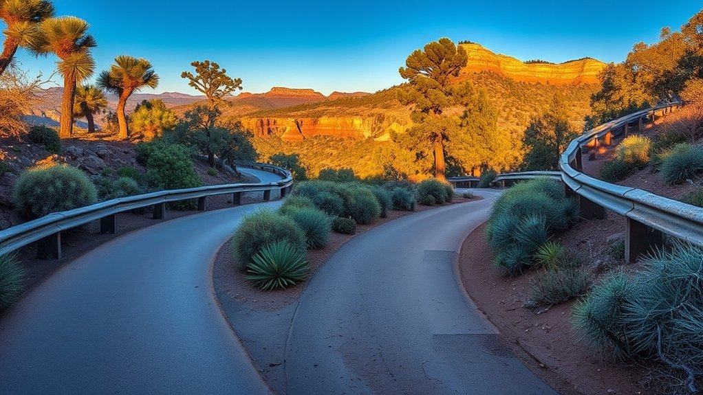
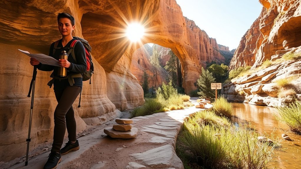
Parking is limited on busy weekends and spring/fall holidays, so arriving near opening time helps. Accessibility is best at the top: paved paths connect several viewpoints and picnic areas, but the hiking trails drop into the canyon on steep grades and uneven steps. Bring water and closed-toe shoes with good traction.
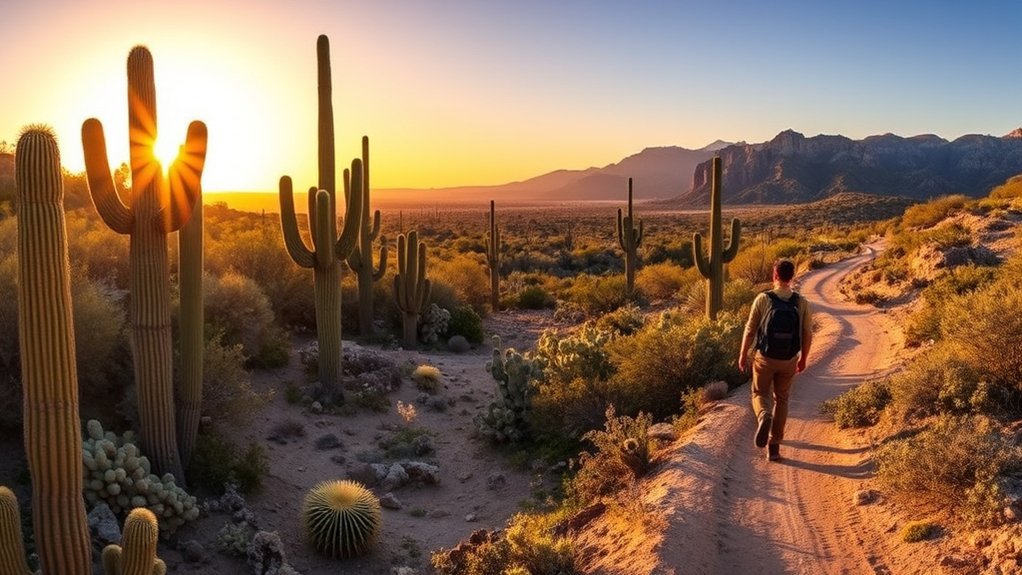
Short and Easy: Walking Path and Viewpoints
For the lowest-effort option, take the park’s Walking Path (a paved route shown on the park map at about 0.5 miles one way). It links the main overlook areas and makes it easy to grab photos of the bridge from above without committing to the steep canyon trails.
- Best for: strollers, casual walkers, and quick visits
- What you’ll see: multiple viewpoints, interpretive signs, and picnic areas
- Tip: morning light can be softer for photos, and you’ll also dodge the biggest crowds
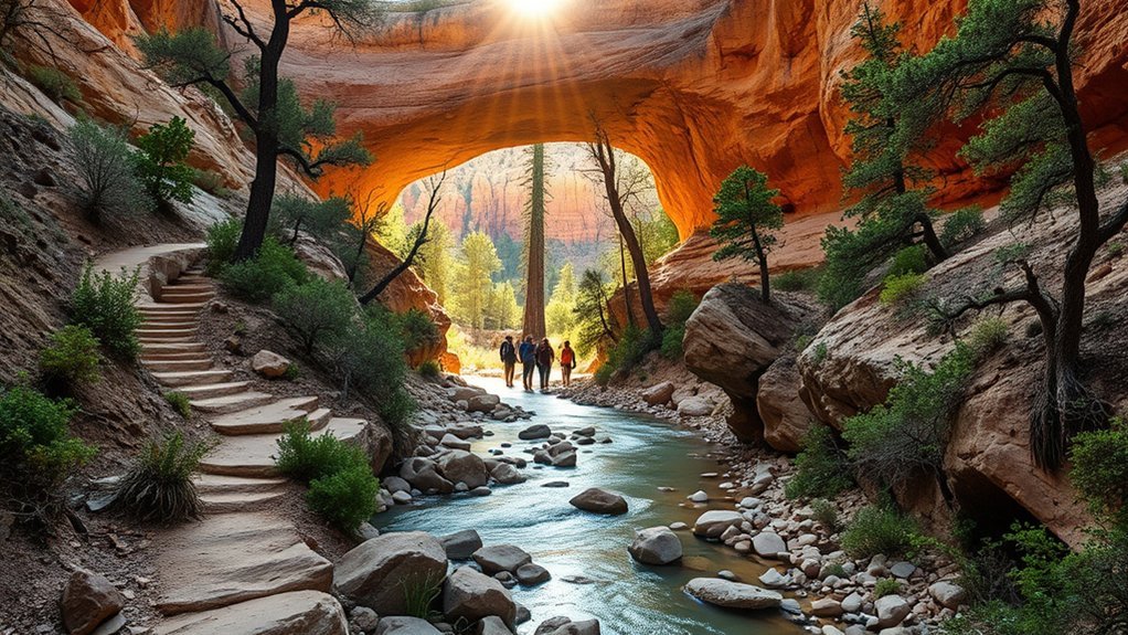
Family-Friendly Walk: Waterfall Trail
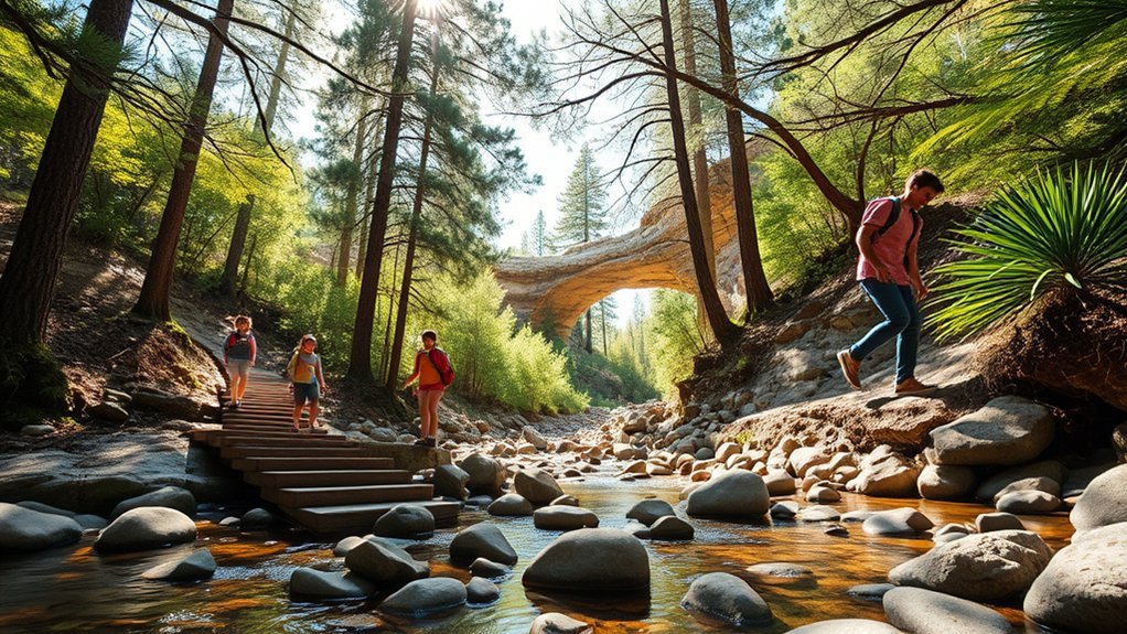
Want a short “destination” hike? The Waterfall Trail is a very short route (about 300 feet) that dead-ends at the waterfall cave. It has uneven steps, so it’s not ideal for strollers, but many families like it because it delivers a big payoff quickly. Allow 15–20 minutes and go slowly on the way down and back up.
Note: the park advises that all canyon trails are steep and strenuous despite their short distances. If anyone in your group is unsure on stairs, stick with the paved viewpoints instead.
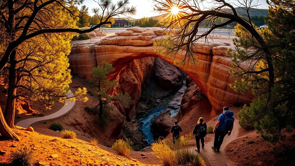
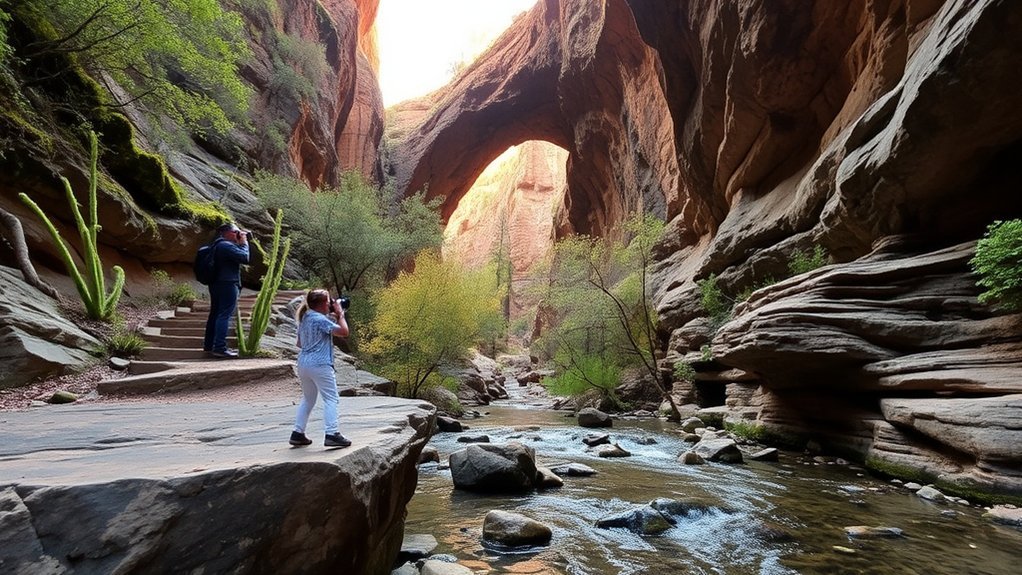
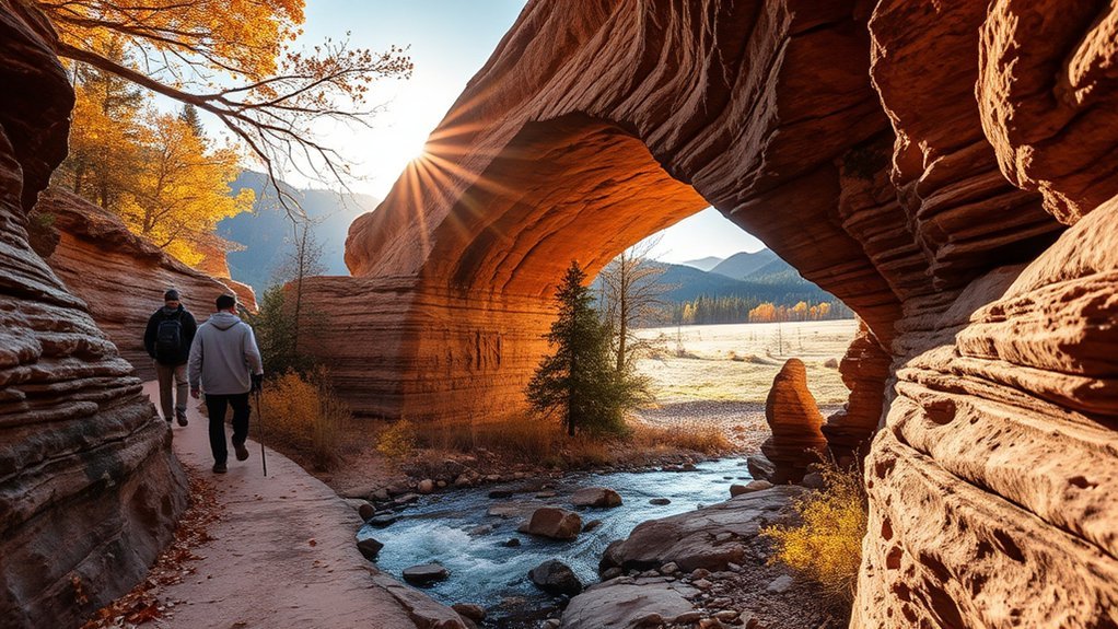
Photo Ops: Bridge Overlooks and Waterfall Cave
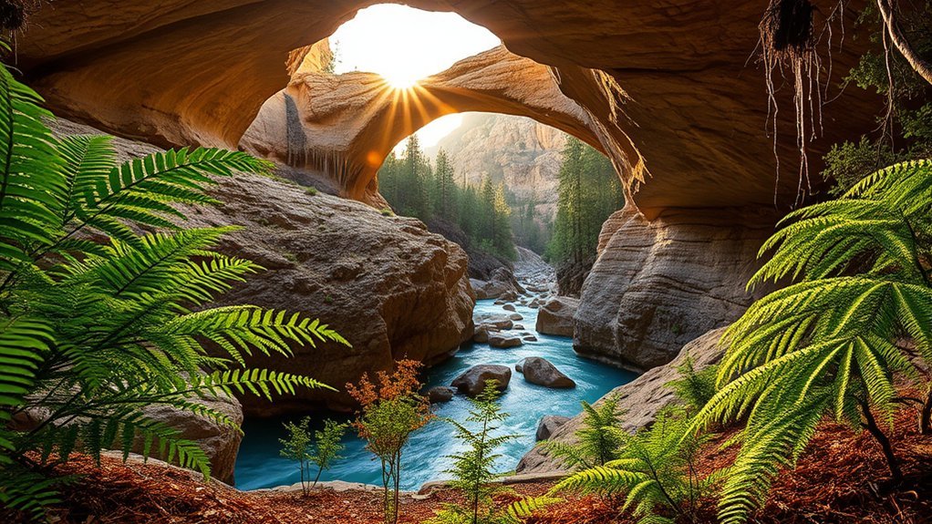
For classic wide shots, work the top-side overlooks early or late in the day. For moody, shaded scenes, head down to the waterfall cave or the creek-bottom observation areas.
Best Times to Shoot
Plan for early morning if you want fewer people at viewpoints and gentler contrast. In the canyon, light changes fast as the sun angle shifts, so if you’re shooting below the rim, give yourself time to try multiple angles.
Gear and Settings
A small kit is plenty: a wide lens or phone for the big scene, plus a steady grip or tripod for shaded spots. Keep ISO low when you can and watch your footing—rock can be slick after rain.
Composition Tips and Angles
Use railings and trail edges as leading lines from the overlooks. Below the bridge, look for layers—rock textures, greenery, and water—to add depth. Take a few steps left or right before you shoot; small moves change scale quickly in a narrow canyon.
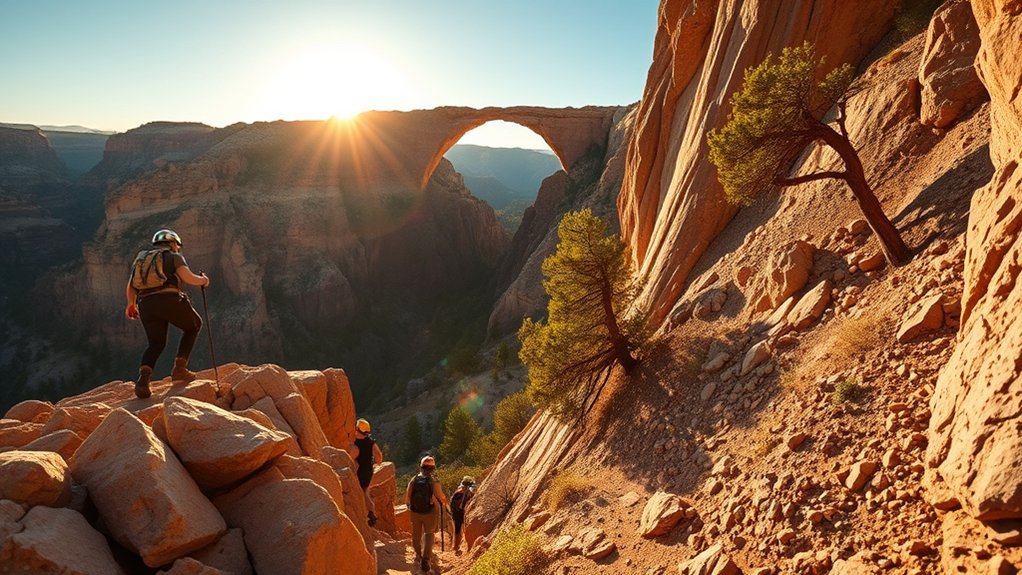
Moderate Hike: Combine the Trails Into a Loop
If you want a longer outing, many hikers link the park’s short trails (for example, Gowan, Anna Mae, Pine Creek, and Waterfall) plus the paved Walking Path into a single loop. Third-party trail maps commonly clock this at around 1.5 miles with a few hundred feet of gain, but distances vary depending on turnarounds and closures—use the park’s map on-site.
Trail Details
Even on a “loop,” you’ll be going up and down. Expect steep steps, short rocky sections, and narrow spots near the creek. Carry water (the park recommends 2 liters per person) and wear closed-toe shoes with ankle support.
| Mood | Sensation | Moment |
|---|---|---|
| Calm | Pine scent | Quiet morning |
| Focused | Foot placement | Steep steps |
| Awe | Canyon echo | First view below |
| Relief | Cool shade | Creek-bottom pause |
Points of Interest
Highlights depend on your route, but common stops include the waterfall cave, the creek-bottom observation deck, and the viewpoints that look across the bridge’s tunnel. The park also asks visitors to follow yellow arrows and wooden signs under the bridge and to avoid “social trails,” which damage the area.
Serene Detour: Pine Creek Natural Area
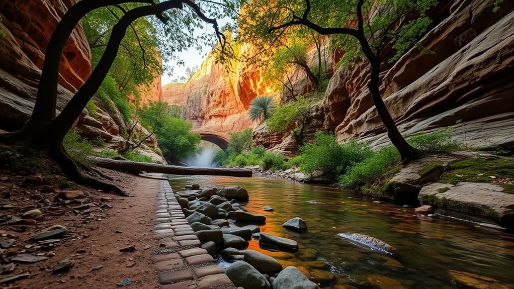
Once you reach the creek bottom, you’ll notice a cooler, greener pocket of habitat. The park map describes the Pine Creek Trail as partly developed and then undeveloped in the creek bottom. Take it slowly, stay on the defined route, and keep an eye out for slick rock—especially after rain.
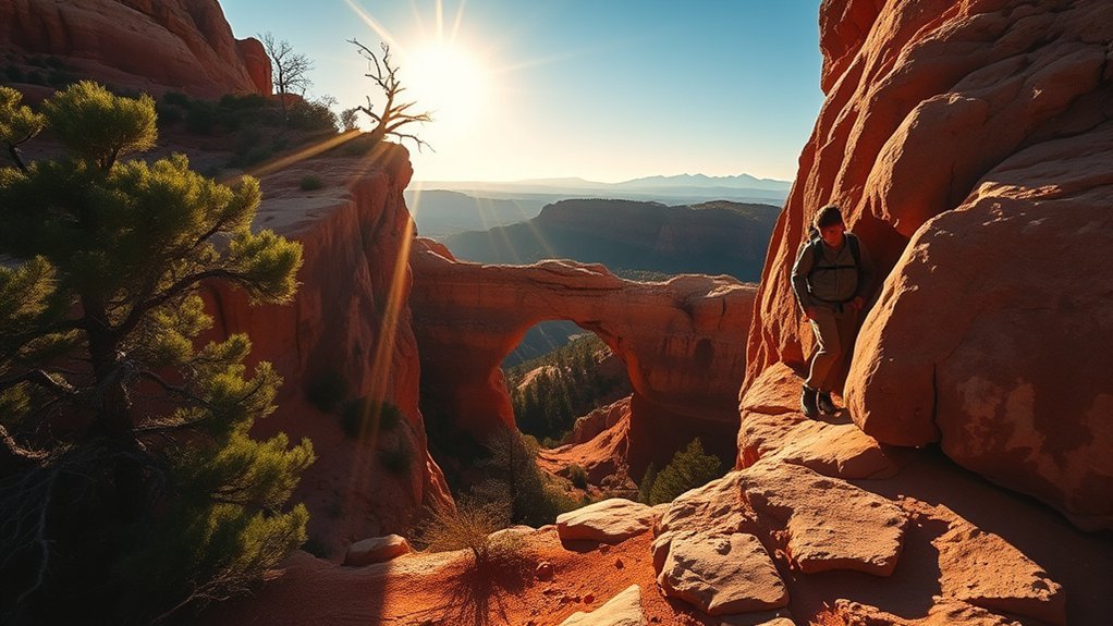
Challenging Route: Gowan Trail (Steep Out-and-Back)
For the steepest workout in the park, tackle the Gowan Trail. The park describes it as a steep route down to the natural bridge and back, with rockfall possible. It’s short, but it can feel strenuous because the climb back up is continuous. Plan extra time and take breaks.
Safety and Gear Essentials
- Water: the park recommends 2 liters per person for hiking.
- Footwear: closed-toe shoes with good traction and ankle support.
- Stay on trail: follow marked routes and don’t climb cliffs or enter unauthorized caves.
- Know the rules: pets and glass containers are not allowed on hiking trails.
Birding and Botanical Explorations Along the Creek
The park’s mix of pine forest and creek-bottom vegetation can be great for wildlife viewing. Deer and javelina are frequent visitors, and bird activity can be strongest near water and shade. Move quietly, use binoculars, and give animals plenty of space.
Park Tips: Safety, Leave No Trace, and Rules
Tonto Natural Bridge is a day-use park, but it still pays to plan like conditions can change quickly in a canyon.
Prepare thoroughly: check conditions, carry water, and stick to marked routes.
- Pack out what you pack in: there are no trash cans on the trails.
- Carry water: 2 liters per person is the park’s recommended amount for hiking.
- Stay on defined trails: follow signs and yellow arrows, especially under the bridge.
- Water rules: swimming and wading under the natural bridge are not allowed. For any approved downstream water access, check with park staff the day you visit.
Best Times to Visit and Seasonal Considerations
For the most comfortable hiking and photo conditions, spring and fall are usually best in the Payson area. Summer can bring heat and monsoon storms; winter can be cool and occasionally icy on shaded steps. For any trip below the rim, keep an eye on weather and avoid hiking during storms.
| Season | What to plan for |
|---|---|
| Spring | Milder temps, busier weekends |
| Summer | Heat + monsoon storm risk |
| Fall | Comfortable temps, peak crowds |
| Winter | Cool shade, slick steps possible |
Frequently Asked Questions
Are Dogs Allowed Anywhere in the Park?
Pets are not allowed on the hiking trails. Leashed pets may be allowed in other areas such as paved paths and parking/picnic areas—confirm signage and ask staff if you’re unsure.
Is There Cell Phone Reception Inside the Canyon?
It can be limited. The park warns that the canyon can restrict internet access and cell reception, so plan for spotty or no service below the rim.
Are There Guided Tours or Ranger-Led Programs?
Yes. The park posts an events calendar that includes ranger- or volunteer-led tours of the historic Goodfellow Lodge and occasional guided bird walks. Many programs require reservations, so check the schedule before you go.
Is Fishing Permitted in the Creek?
Official park materials emphasize hiking, viewpoints, and picnicking, and fishing rules aren’t always posted clearly online. If fishing is important to your plan, contact the park before you go and follow Arizona fishing regulations and licensing requirements.
Are There Nearby Lodging or Camping Options?
As of 2026-01-22, the park’s facility information notes the historic Goodfellow Lodge is not available for overnight stays. For lodging, look to Payson or Pine. For camping, check nearby U.S. Forest Service campgrounds in the surrounding Tonto National Forest.
Conclusion
Tonto Natural Bridge rewards almost any pace: take the paved viewpoints for an easy visit, add the Waterfall Trail for a quick payoff, or link multiple short trails for a steeper workout. Whatever route you choose, bring water, stay on marked paths, and follow park rules so this place stays wild and welcoming.