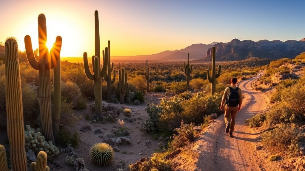
If you’re planning hikes in Saguaro National Park, choose your route by district, difficulty, season, and how much desert heat you can safely handle. The park offers everything from short paved nature trails to an all-day summit hike, with very different experiences in Saguaro East and Saguaro West. This guide compares the best options and covers current fees, safety, camping, navigation, and biking.
Quick Answer
Some of the best hikes in Saguaro National Park are Loma Verde Loop and Freeman Homestead in the east, Desert Discovery and King Canyon/Gould Mine in the west, and Wasson Peak for a strenuous summit. Start early, carry ample water, and choose a route based on season, heat, and fitness.
Key Takeaways
- Best easy hike: Desert Discovery Trail in Saguaro West or Freeman Homestead in Saguaro East.
- Best moderate desert loop: Loma Verde Loop, a 3.8-mile route through mesquite, washes, cactus forest, and the Loma Verde Mine area.
- Best summit challenge: Wasson Peak, reached by several trail combinations in Saguaro West.
- Summer requires extra caution: the National Park Service advises finishing by 10 a.m. when the forecast high is 95°F to 110°F and not attempting a hike when the forecast high exceeds 110°F.
- East and West are separate: allow roughly 45 to 60 minutes to drive between the two districts.
At a Glance
| Time Required | About 20 minutes for a short nature trail to most of a day for a summit hike; wilderness trips require additional planning. |
| Difficulty | Easy paved walks to strenuous mountain hikes with sustained climbing. |
| Tools Needed | Water, electrolytes or salty snacks for hot conditions, sun protection, sturdy footwear, a park map, and an offline navigation backup. |
| Cost | As of 2026: $25 per private vehicle for 7 days, $20 per motorcycle, or $15 per person entering without a vehicle. Wilderness camping permits are $8 per campsite per night. |
About Hiking in Saguaro National Park
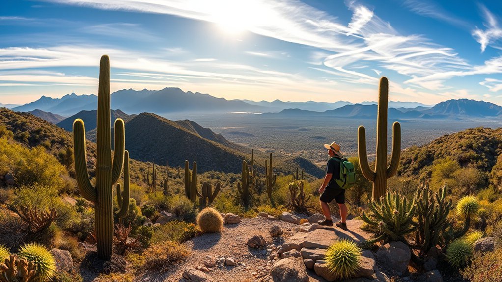
Saguaro National Park wraps around Tucson in two separate districts. The Tucson Mountain District, or Saguaro West, is known for extensive stands of saguaros and accessible desert scenery. The Rincon Mountain District, or Saguaro East, rises from low desert into the Rincon Mountains and offers a larger network of mountain and wilderness routes.
The districts are about 30 miles and usually 45 to 60 minutes apart by road, so choosing the right side before you start hiking saves substantial driving time. You can review the National Park Service’s Saguaro trip-planning information before your visit.
The Loma Verde Trail is a good example of the East District’s variety. Its recommended loop crosses mesquite, a seasonal wash, open bajada, cactus forest, and the historic Loma Verde Mine area. Other routes climb much higher into the Rincon Mountains, where vegetation and temperatures change with elevation.
Things to Know Before You Hike in Saguaro National Park
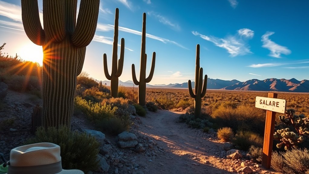
Desert hiking rewards preparation. Bring more water than you expect to need, protect yourself from sun exposure, know your turnaround time, and check the current Saguaro National Park conditions before leaving Tucson. Cell coverage varies throughout the park, so do not treat your phone as your only navigation or emergency tool.
Water and Heat Safety
The National Park Service recommends drinking about 1 quart of water per hour on hot, dry summer hikes. It also recommends electrolyte replacement such as a sports drink or salty snack and turning around before half of your water supply is gone. In cooler winter conditions, water needs may be lower, but dehydration is still possible in the dry desert air.
Warning: NPS summer guidance says that when the forecast high is 95°F to 110°F, finish your hike by 10 a.m. If the forecast high is above 110°F, do not attempt a hike. During monsoon conditions, avoid washes and canyons when thunderstorms are nearby because flash floods can develop quickly.
Wear a broad-brimmed hat, sunscreen, sunglasses, breathable clothing, and sturdy footwear. Rest before you feel exhausted. If someone develops confusion, severe weakness, fainting, or other signs of serious heat illness, treat the situation as an emergency and seek immediate help.
Navigation and Maps
Carry a physical park map or another reliable offline map even if you normally navigate with a phone. NPS warns that cell reception is spotty, and batteries can fail faster in extreme heat. Download any digital maps before leaving Tucson and keep your route accessible offline.
Study distance, elevation, major junctions, and turnaround points before starting. Stay on designated trails in areas where off-trail travel is restricted. At intersections, confirm the trail name rather than following footprints or informal paths. The official NPS hiking recommendations and park maps are better planning references than an unverified route description.
Pro Tip: Leave your route, trailhead, expected return time, and vehicle information with someone who is not on the hike. If heat, storms, water supply, or daylight stop matching your plan, turn around early.
Park Rules and Fees
As of 2026, the standard Saguaro National Park entrance fee is $25 per private vehicle, $20 per motorcycle, or $15 per person age 16 or older when entering without a vehicle. The standard pass is valid for seven days and covers both districts. The park is cashless for entrance-fee purchases.
The Saguaro Annual Pass is $45 for eligible U.S. citizens and residents. The 2026 America the Beautiful Resident Annual Pass is $80, while the Non-Resident Annual Pass is $250. Other free or discounted federal passes may apply to eligible seniors, military members, people with permanent disabilities, fourth graders, and qualifying volunteers.
Pets are not allowed on most hiking trails, but several designated pet-friendly routes exist. These include Desert Discovery Trail in the West and Mica View and Desert Ecology trails in the East, along with specified roads. Keep pets restrained as required and verify the current NPS pet rules before your visit.
- Bring ample water, food, sun protection, and a reliable map.
- Do not collect cactus parts, rocks, flowers, historic objects, or other protected resources.
- Stay outside fenced historic mine areas and do not enter mine shafts.
- Check current fire, weather, road, and trail restrictions before leaving.
Best Time to Visit
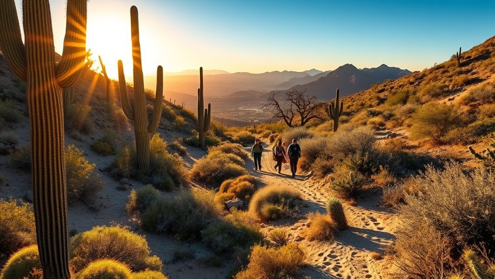
For most hikers, winter and early spring offer the most comfortable conditions. NPS describes Tucson-area winter days as averaging around 65°F, with much cooler nights. November through March is also the park’s busiest period, so popular trailheads can feel more crowded during the mild-weather season.
Wildflower timing changes from year to year. Blooms may begin in late winter and build through spring when rainfall and temperatures cooperate. Saguaros generally begin their own flowering period later in spring.
Summer is a different experience. Daytime temperatures regularly exceed 100°F, and monsoon season brings thunderstorms, lightning, rapidly changing conditions, and flash-flood risk. Summer outings should be short, very early, and based on that day’s forecast rather than a fixed itinerary.
Getting to Saguaro National Park
Saguaro National Park has two separate districts on opposite sides of Tucson. For Saguaro East, navigate to 3693 S. Old Spanish Trail, Tucson, AZ 85730. For Saguaro West, use 2700 N. Kinney Road, Tucson, AZ 85743. NPS recommends entering the physical district address in your navigation app rather than simply searching for “Saguaro National Park,” which can send visitors to the wrong side.
Tucson International Airport is the closest major commercial airport for most visitors. A rental car is the simplest way to reach trailheads and move between districts because public transportation does not serve the park like a national-park shuttle network.
Choose your district before you drive: Saguaro East and Saguaro West are roughly 30 miles and 45 to 60 minutes apart.
- Use the district’s exact physical address when navigating.
- Allow extra time if crossing Tucson between East and West.
- Check vehicle restrictions if driving an RV, trailer, or oversized vehicle.
Where to Stay
There are no hotels, lodges, car campgrounds, or RV campgrounds inside Saguaro National Park. Tucson offers the widest range of conventional accommodations, so choose a hotel or rental on the side of town closest to the district you expect to hike most.
For backpackers, the Rincon Mountain District contains six designated wilderness campgrounds. All are hike-in sites. A wilderness permit is required, and NPS lists the permit fee at $8 per campsite per night. Water is scarce and may be seasonal, so confirm current water reports before committing to an overnight route. Treat any surface water before drinking it.
For developed camping outside the national park, Gilbert Ray Campground in Tucson Mountain Park is near Saguaro West. Pima County lists RV sites with electrical hookups and tent-only sites. It is reservation-only and operates seasonally from September 1 through April 30, with a May 1 through August 31 seasonal closure.
Note: Backcountry camping is very different from camping beside a vehicle. You must hike in your water, food, shelter, and other supplies, and conditions can change sharply between the desert floor and higher elevations.
Top Hikes: Loma Verde Trail
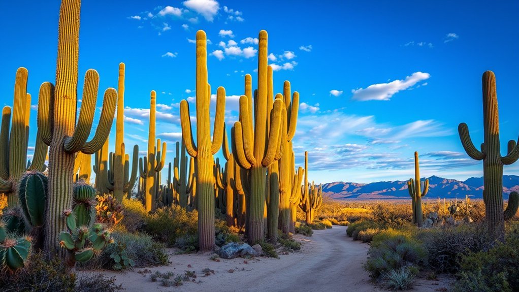
The NPS-recommended Loma Verde Loop is about 3.8 miles with roughly 60 feet of elevation. It is an excellent choice when you want more than a short paved walk without committing to a major climb.
The route begins on Loma Verde Trail, passes through mature mesquite and a seasonally flowing wash, climbs onto the bajada, and passes the Loma Verde Mine area. The recommended loop continues using Pink Hill, Squeeze Pen, and Loma Verde trails.
Scenic Mine Views
The Loma Verde Mine adds a historic layer to an otherwise natural desert walk. Treat the site as a viewpoint rather than a place to explore structures or openings. Historic mine shafts or fenced mine areas are closed for safety and resource protection.
- Use the mine area as a landmark on the loop rather than leaving the designated route.
- Look toward the cactus forest and Tanque Verde Ridge from the Pink Hill area.
- Leave structures, rocks, plants, and historic material exactly where you find them.
Flora and Wildlife
Loma Verde moves through mesquite, creosote, cacti, washes, and open desert. Depending on season and time of day, you may see rabbits, lizards, birds, and other Sonoran Desert wildlife. Observe animals from a distance and never place your hands or feet where you cannot see them, particularly around rocks, shrubs, and shaded crevices where rattlesnakes may rest.
| Plant | Possible Wildlife | Where to Look |
|---|---|---|
| Mesquite | Rabbits and birds | Shaded groves and washes |
| Yucca and cacti | Lizards | Sunny rocks and open desert |
| Creosote | Desert birds | Bajada and open viewpoints |
Top Hikes: Wasson Peak via Hugh Norris
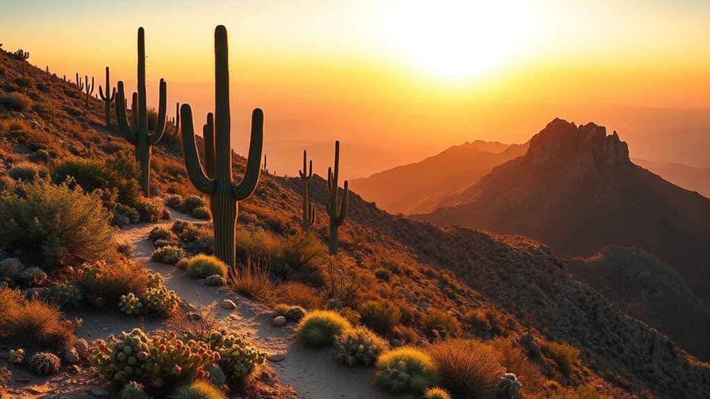
Wasson Peak, at 4,687 feet, is the highest point in Saguaro National Park’s Tucson Mountain District and one of its signature summit objectives. Several trail combinations reach the summit, so distance and elevation depend on your chosen trailhead.
The official NPS hiking recommendation describes a route using Sendero Esperanza and Hugh Norris Trail. Depending on where you turn around, the recommended outing ranges from about 3.4 to 8 miles and roughly 220 to 1,600 feet of elevation. Hikers continuing to the summit follow Hugh Norris and a short summit spur.
This is a strenuous desert outing. Expect exposed terrain, sustained climbing, and little protection from midday sun. Start early, carry substantially more water than you would for a short nature trail, and choose a turnaround time before you begin.
- Best for: fit hikers seeking a summit and broad Tucson Mountain views.
- Avoid: hot-weather midday starts.
- Plan carefully: verify your exact route because several Wasson Peak combinations have different mileage.
Top Hikes: Desert Discovery Trail and Freeman Homestead Trail
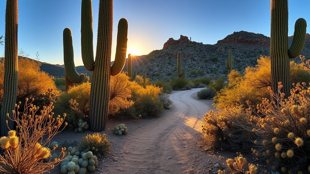
For an easier introduction to the Sonoran Desert, choose between Desert Discovery Trail in Saguaro West and Freeman Homestead Trail in Saguaro East.
Desert Discovery Trail is about 0.4 mile with roughly 26 feet of elevation gain. It is paved, wide, includes interpretive signs and shaded ramadas, and is the primary accessible trail in the Tucson Mountain District. It is a strong choice for families, mobility-device users, first-time desert visitors, and anyone who wants a short hike.
Freeman Homestead Trail is about 0.9 mile with roughly 98 feet of elevation gain. It passes a historic homestead site, interpretive signs, desert vegetation, and a sandy wash that can attract wildlife. The route is generally easy, but steps, soft sand, erosion, and steeper short grades make it less accessible than Desert Discovery.
If accessibility is your priority in Saguaro East, consider the paved Desert Ecology Trail or Mica View Trail, which NPS identifies as accessible options.
Top Hikes: King Canyon, Gould Mine, and Garwood Trails
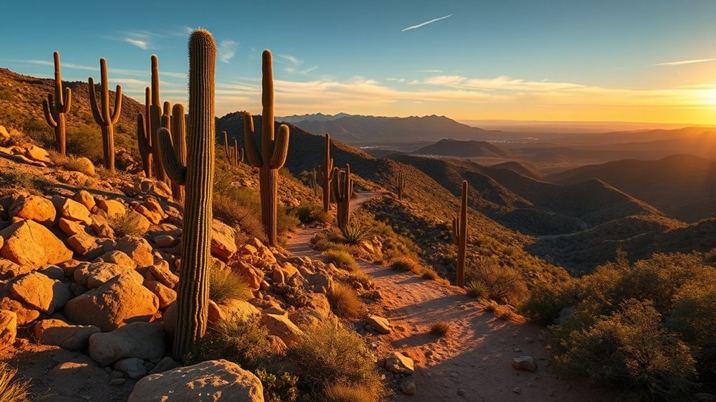
King Canyon and Gould Mine are in Saguaro West, while Garwood Trail and Garwood Dam are in Saguaro East. They should not be treated as one connected trail system.
The NPS-recommended King Canyon/Gould Mine Loop is about 2.4 miles with 380 feet of elevation. One portion follows a sandy wash with rocky stair-step sections before returning on an old mining road. It is a useful middle ground between a short nature trail and a major summit hike.
The Gould Mine Trail itself is about 1.1 miles and passes historic copper-mining remains. Wash crossings can make navigation less obvious, so watch for the official route rather than following every informal path.
In the East District, the most direct surveyed NPS route toward Garwood Dam begins at Douglas Spring Trailhead and uses Douglas Spring, Garwood, and Carrillo trails. The surveyed distance to the dam is about 1.9 miles one way with roughly 484 feet of elevation gain. NPS also describes a longer 6.4-mile Garwood Dam and Wildhorse Tank outing for hikers who want a more substantial loop.
- King Canyon/Gould Mine: good moderate West District hike with canyon and mining history.
- Garwood Dam: East District option with cactus forest, washes, climbing, and historic dam remains.
- Longer Garwood/Wildhorse route: better for hikers prepared for more distance and rougher terrain.
Which Saguaro Hike Should You Choose?
| Trail | District | Distance | Best For |
|---|---|---|---|
| Desert Discovery | West | 0.4 mi | Easy, paved, accessible introduction |
| Freeman Homestead | East | 0.9 mi | Short nature and history walk |
| King Canyon/Gould Mine | West | 2.4 mi | Moderate canyon and mining-history hike |
| Loma Verde Loop | East | 3.8 mi | Easy-to-moderate desert loop |
| Garwood Dam | East | About 3.8 mi round trip by the direct surveyed route | Longer cactus-forest hike with historic dam |
| Wasson Peak | West | Varies by route; NPS recommendation up to about 8 mi | Strenuous summit hike |
Bike Saguaro National Park East
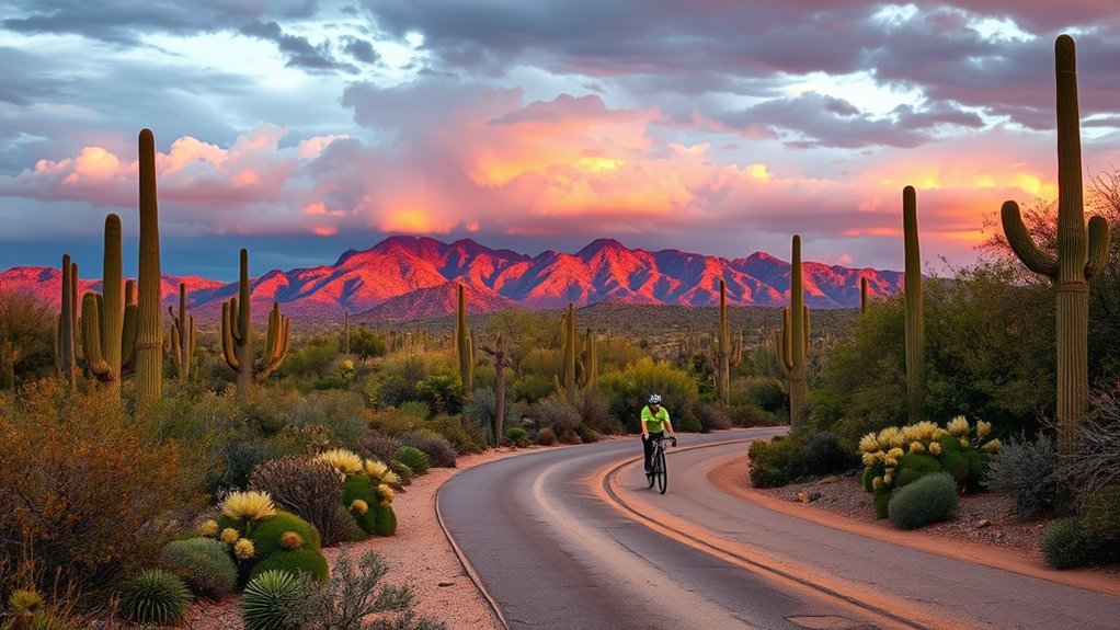
The East District’s Cactus Forest Loop is an 8-mile paved route popular with cyclists, but do not confuse paved with easy. The National Park Service warns that the road is narrow and includes tight turns and steep hills. Motor vehicles also use the loop.
Bicycles are permitted on the Cactus Forest Loop, the approximately 2.5-mile Cactus Forest Trail, and the Hope Camp Trail in the East District. E-bikes are allowed only where traditional bicycles are allowed and must follow applicable park and state rules.
Carry your own water because drinking water is not available along Cactus Forest Drive or at picnic areas. An early start reduces heat exposure and traffic, but always use lights or other required safety equipment when conditions demand it and obey posted traffic rules.
Saguaro West also offers cycling, including the gravel Bajada Loop and designated multi-use routes. Check the official NPS bicycling page before riding because bikes are not permitted on most hiking trails.
Planning a One-Day Hiking Visit
If hiking is your priority, spending most or all of the day in one district is usually more efficient than repeatedly crossing Tucson.
For Saguaro West: start with Desert Discovery or Valley View for a short introduction. Continue to King Canyon/Gould Mine if you want a moderate hike, or devote the cooler part of the day to Wasson Peak if you are prepared for a strenuous summit. The Bajada Loop and Signal Hill area can fill the remaining time.
For Saguaro East: combine Freeman Homestead or Desert Ecology with Loma Verde Loop, then explore Cactus Forest Loop Drive and short stops around the district. Strong hikers seeking more climbing can choose longer Rincon Mountain routes instead.
If you insist on seeing both districts in one day, budget an additional 45 to 60 minutes for the cross-town drive and keep the hikes shorter.
Sources
- National Park Service: Hiking Trail Recommendations — official route descriptions, trail distances, elevation information, and Wasson Peak guidance.
- National Park Service: Hiking Safety Information — hydration, desert heat, flash floods, lightning, maps, and wildlife safety.
- National Park Service: Fees & Passes — current entrance fees and 2026 federal pass pricing.
- National Park Service: Camping — wilderness campsites, permits, water, and backcountry requirements.
- National Park Service: Bicycling at Saguaro National Park — legal cycling routes and safety information.
- Pima County: Gilbert Ray Campground — nearby developed camping, facilities, reservations, and seasonal operating dates.
Frequently Asked Questions
What Is the Most Popular Hike in Saguaro National Park?
The National Park Service does not publish a simple official popularity ranking. Wasson Peak is one of the park’s signature summit hikes, while easier routes such as Desert Discovery, Freeman Homestead, Valley View, and Loma Verde appeal to visitors who want shorter outings.
What Is the Best Part of Saguaro National Park?
It depends on your priorities. Saguaro West is especially good for dense cactus scenery, short trails, and Tucson Mountain views. Saguaro East offers the Cactus Forest, more mountain terrain, and access to the Rincon Mountain wilderness.
How Should You Spend One Day in Saguaro National Park?
For a hiking-focused day, choose one district and combine one main hike with shorter trails and the scenic loop. If you visit both East and West, allow roughly 45 to 60 minutes to drive between them and select shorter hikes so the cross-town transfer does not consume the day.
What’s the Difference Between East and West Saguaro National Park?
Saguaro West, the Tucson Mountain District, is known for broad cactus forests and lower-elevation desert scenery. Saguaro East, the Rincon Mountain District, climbs into a much higher mountain environment and has an extensive trail and wilderness network. The districts are approximately 30 miles apart.
Can You Bring a Dog on Saguaro National Park Hiking Trails?
Dogs are prohibited on most park hiking trails, but designated pet-friendly routes exist. Examples include Desert Discovery Trail in the West and Mica View and Desert Ecology trails in the East. Check current NPS pet rules and keep your dog properly restrained.
How Much Water Should You Carry While Hiking in Saguaro?
On hot, dry summer days, NPS recommends about one quart of water per hour of hiking, plus electrolyte replacement. Carry extra water, drink regularly, and turn around before half your water supply is gone. Longer backcountry routes require additional planning because natural water sources are unreliable.
Conclusion
Saguaro National Park gives you hiking choices for nearly every ability level, from a short paved walk on Desert Discovery Trail to a demanding climb toward Wasson Peak. For an easy-to-moderate desert loop, Loma Verde is one of the strongest East District choices, while King Canyon and Gould Mine add history and canyon scenery in the West.
Your safest plan starts with the weather rather than the mileage. Carry enough water, start early, keep a map available offline, watch monsoon conditions, and turn around when heat, water, storms, or daylight stop matching your plan. During the park’s busy cool-weather season, arriving early also improves your chances of finding convenient trailhead parking and enjoying the desert before the busiest part of the day.