Last updated: May 23, 2026
Editorial note: This guide was reviewed against official trail, park, and land-manager sources where available. Trail distances and access rules can change after storms, maintenance, closures, or seasonal restrictions, so check current conditions before you leave.
Best Hikes Near Cottonwood, AZ: Easy River Walks, Mountain Trails, and Sedona Day Trips
The best hikes near Cottonwood, AZ, range from flat Verde River walks to rocky Mingus Mountain routes and short Sedona red-rock day trips. This guide helps you choose the right trail by time, difficulty, shade, scenery, and access needs, so you do not waste your first hour picking the wrong route.
Quick Answer: Best Hikes Near Cottonwood, AZ
Start with Dead Horse Ranch State Park if you want easy lagoon loops, birdwatching, and family-friendly walking. Choose the Jail Trail River Walk or Verde River Greenway for shaded riparian scenery. Pick North Mingus, Yeager Canyon, or Black Canyon Trail #114 only if you want steeper, rougher terrain and can navigate with a current map.
Top Cottonwood Trails to Start With
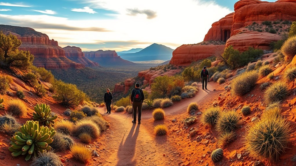
Whether you have one hour or a full day, Cottonwood gives you several strong trail choices. The safest first pick for most visitors is Dead Horse Ranch State Park, because it has short loops, river access, parking, restrooms, and easy ways to extend or shorten your walk.
Use this quick comparison before choosing a trail:
| Trail or area | Best for | Typical distance | Difficulty | Key note |
|---|---|---|---|---|
| Canopy ADA Loop | Accessible short walk | 0.25 miles | Easy | Shaded loop under Fremont cottonwoods |
| West, Middle, and East Lagoon loops | Birds, fish, easy family walking | 0.39, 0.41, and 0.72 miles | Easy | Flat lagoon-bank routes inside the state park |
| Verde River Greenway | Riparian habitat and birdwatching | 2 miles | Easy to moderate | Shared-use trail along the river corridor |
| Jail Trail River Walk | Old Town access and shaded river scenery | About 1.6 miles | Easy | Starts near North Main Street in Cottonwood |
| Mesa Trail | Quick views near the campground | 1 mile | Easy to moderate | Views of Mingus Mountain and the Verde Valley |
| North Mingus and Yeager Canyon routes | Mountain views and steeper terrain | Varies by route | Moderate to challenging | Use a current map and expect rocky footing |
| Sedona day hikes | Red-rock scenery | Varies by trail | Easy to hard | Check Red Rock Pass and shuttle rules before you go |
For official trail details, start with the Dead Horse Ranch State Park trail page and the City of Cottonwood area trails page.
Dead Horse Ranch State Park Loops
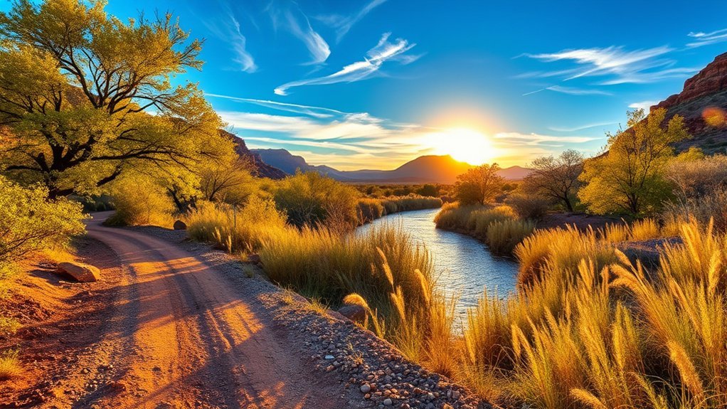
Dead Horse Ranch State Park gives you the easiest and most flexible hiking near Cottonwood. The official trail system includes the Canopy ADA Loop, Forest Loop, River Loop, Mesa Trail, Verde River Greenway, and three short lagoon loops.
The lagoon routes are the best place to begin if you want a low-effort walk with strong scenery. The official lagoon distances are West Lagoon Loop at 0.39 miles, Middle Lagoon Loop at 0.41 miles, and East Lagoon Loop at 0.72 miles. You can walk one loop for a quick break or combine all three for a longer outing around the ponds.
Expect mostly flat surfaces with sandy, dusty, or packed-dirt sections. Wear shoes with grip, carry water even on short routes, and bring binoculars if you like birds. Mornings usually give you cooler temperatures, softer light, and better wildlife activity.
Key takeaway: If you only have time for one easy Cottonwood hike, choose the lagoon area at Dead Horse Ranch State Park. It gives you short distances, simple navigation, water views, and good wildlife watching with low effort.
Verde River to Lagoon and Riparian Walks
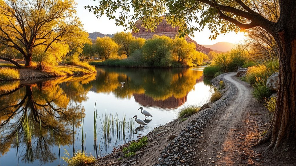
If you want shade, birds, and a softer walking surface, focus on the Verde River corridor. The Verde River Greenway is a 2-mile shared-use trail along the river, and it connects with the Quail Wash and Lagoon trails inside Dead Horse Ranch State Park.
The Jail Trail River Walk is another strong choice. It starts near Old Town Cottonwood and follows the Verde River Greenway State Natural Area through dense riparian habitat. The route is often listed at about 1.6 miles, with parking near North Main Street.
Use these trails when you want a slower nature walk instead of a summit hike. You may see hummingbirds, waterfowl, deer, owls, butterflies, or signs of other wildlife. Treat wildlife sightings as possible, not guaranteed. Stay on the route, keep dogs leashed where allowed, and avoid stepping into fragile riverbank vegetation.
For more planning details, check Arizona Watchable Wildlife’s Jail Trail River Walk guide.
Black Canyon Trail and Desert Challenges
Black Canyon Trail #114 is not the best choice for a casual first walk in Cottonwood. Treat it as a rougher backcountry-style outing in the greater Verde Valley and Prescott National Forest area. The official Prescott National Forest Verde Ranger District page lists Black Canyon Trail #114 among trails near Camp Verde, so verify your exact trailhead, route length, and current access before leaving.
Trail reports often describe this area as rugged, rocky, exposed, and better suited to hikers or riders who feel comfortable with changing conditions. Avoid calling it a simple family hike. Do not rely on one old map screenshot, because access points, route names, and mileage can vary by app and trailhead.
Carry extra water, a map, offline navigation, sun protection, and a headlamp. Start early, avoid summer midday heat, and turn around before you use half your water. If you want wide views without the same route-finding concern, choose Mesa Trail, North Mingus routes, or Sedona’s maintained day-use trailheads instead.
Check the Prescott National Forest Verde Ranger District page before planning Black Canyon Trail #114.
North Mingus and Mountain Loop Hikes
When you tackle North Mingus and the Yeager Canyon area, you move from easy river walking into steeper mountain terrain. Expect rocky tread, exposed sections, elevation change, and a stronger need for navigation. These routes reward you with views across the Verde Valley, Lonesome Valley, Prescott Valley, and the Bradshaw Mountains.
Choose Mingus Mountain routes if you want a half-day hike and can handle slower footing. Bring more water than you think you need, wear sturdy shoes, and use trekking poles if steep descents bother your knees. A downloaded offline map helps because signed junctions and unofficial route names may not match every app.
Trail Difficulty and Terrain
The North Mingus area can feel moderate on paper and harder on the ground. Rocky sections, switchbacks, and loose tread slow your pace, especially in warm weather. Do not judge the hike only by mileage. A short mountain route can take longer than a flat lagoon walk because every descent and turn needs more attention.
Expect pinyon-juniper, chaparral, and higher-elevation forest depending on your exact route. Shade comes and goes. Pack a wind layer if you start high on Mingus Mountain, because ridgelines can feel cooler than Cottonwood’s river corridor.
Scenic Views and Highlights
The main reason to hike North Mingus or a mountain loop is the view. As you climb, Cottonwood, Clarkdale, Jerome, and the Verde Valley sit below you, while the Bradshaws and Prescott Valley stretch across the distance. The route feels more remote than Dead Horse Ranch, so it suits hikers who want quiet, elevation, and wide-open scenery.
For a shorter scenic option near Dead Horse Ranch, use the Mesa Trail. It is a 1-mile interpretive loop with views of Mingus Mountain, the Verde Valley, and the park. It gives you a taste of the landscape without committing to a harder mountain route.
Yeager Canyon and Scenic Viewpoint Routes
The Yeager Canyon area suits hikers who want a quieter mountain feel near Cottonwood and Mingus Mountain. Expect packed dirt, rockier singletrack, switchbacks, and changing shade. The trail setting can shift from pinyon-juniper to ponderosa pine, depending on elevation and route choice.
Use Yeager Canyon for scenic viewpoints, photography, and a stronger workout than the lagoon routes. Plan extra time for route checks and photo stops. Parking can fill on busy weekends, and mountain roads may change after storms or winter weather, so check conditions before driving up.
Carry water, layers, a first-aid kit, and offline navigation. Move slowly on switchbacks, give uphill hikers room, and avoid cutting corners. Shortcuts damage the slope and make future erosion worse.
Short Family-Friendly and Accessible Trails
You will find the best short, family-friendly, and accessible trails near Cottonwood at Dead Horse Ranch State Park. The Canopy ADA Loop is a 0.25-mile accessible trail under a Fremont cottonwood canopy. It works well for visitors with limited mobility, toddlers, and anyone who wants shade without a long walk.
The lagoon loops also work well for families because you can stop after one loop or keep going. The West Lagoon, Middle Lagoon, and East Lagoon loops stay short, flat, and easy to follow. The Forest Loop and River Loop each measure 0.5 miles and add simple river-area walking without a major time commitment.
| Best choice | Pick it if you want | Skip it if |
|---|---|---|
| Canopy ADA Loop | The shortest accessible walk | You want a longer workout |
| Lagoon loops | Birds, fish, flat walking, and flexible distance | You need deep shade the whole way |
| Forest Loop | A quick wooded loop near the river | You want open mountain views |
| River Loop | Easy walking near the Verde River | Recent rain has made the surface muddy |
Bring water even for short walks, especially with children. Dust, sun, and dry air can tire beginners faster than expected.
Sedona Red Rock Day Trips From Cottonwood
You can reach many Sedona red-rock trailheads from Cottonwood by driving northeast on State Route 89A. Travel time depends on traffic, construction, and the exact trailhead, but many visitors treat Sedona as an easy half-day or full-day hiking trip from Cottonwood.
For lighter outings, consider creekside or viewpoint routes such as Red Rock State Park trails, Baldwin Loop, Doe Mountain, Bell Rock Pathway, or easier segments near Oak Creek. For harder outings, Cathedral Rock, Bear Mountain, and longer connected routes demand more fitness, more water, and earlier starts.
Many Sedona trailheads sit on National Forest land in Red Rock Country. A Red Rock Pass or accepted interagency pass may be required at specific day-use sites, including popular trailheads such as Cathedral Rock, Doe Mountain, Baldwin, and Bell Rock Pathway. Check the current Red Rock Pass information before you park.
Quick Sedona Access
Leave Cottonwood early if you want a smoother Sedona hiking day. Trailhead parking can fill fast, and some trailheads use shuttle access during scheduled service periods. Before you drive to Cathedral Rock, Soldier Pass, Dry Creek, Mescal, or Little Horse, check the current Sedona Shuttle trailhead route schedule.
Do not plan around parking hope alone. Pick a primary trail, a backup trail, and a shuttle option. That simple plan can save your morning during weekends, holidays, and spring travel periods.
Top Short Red-Rock Hikes
For short red-rock scenery from Cottonwood, start with Doe Mountain, Baldwin Loop, Bell Rock Pathway, or an easy Red Rock State Park trail. These options give you views without requiring a full-day commitment.
Cathedral Rock is short but steep. Treat it as a scramble, not a simple stroll. Wear grippy shoes, use your hands where needed, and turn around if wet rock, heat, crowds, or your comfort level make the climb feel unsafe.
Historic and Cultural Trails: Tuzigoot and Montezuma Castle
For cultural walking near Cottonwood, pair Tuzigoot National Monument with Montezuma Castle National Monument. These sites are not long wilderness hikes, but they add strong historical context to a Verde Valley trip.
At Tuzigoot, a self-guided 0.3-mile loop trail leads around and through a hilltop pueblo with about 110 rooms. The National Park Service also lists a separate trail to a Tavasci Marsh overlook. At Montezuma Castle, you view a 20-room cliff dwelling built into a limestone cliff from a short accessible walking route and visitor area.
| Feature | Tuzigoot National Monument | Montezuma Castle National Monument |
|---|---|---|
| Main site | Hilltop pueblo with about 110 rooms | 20-room cliff dwelling in a limestone alcove |
| Walking experience | Short self-guided pueblo loop | Short accessible viewpoint walk |
| Best for | Views, archaeology, Verde Valley context | Cliff dwelling views and easy access |
| Plan before you go | Check hours, fees, and trail access | Check hours, fees, and current alerts |
Use the official National Park Service pages for Tuzigoot planning information and Montezuma Castle planning information.
Trail Safety, Timing, and Wildlife Tips
Start early on warm days. Cottonwood’s lower-elevation routes can heat up fast, and exposed desert or canyon trails offer limited shade. For summer or hot shoulder-season hikes, aim for sunrise starts and avoid the hottest part of the day.
Carry enough water, use sun protection, and bring more than a phone screenshot for navigation. Arizona State Parks notes that hydration needs can rise sharply during outdoor heat, and some guidance recommends 1 to 2 liters per hour during heat and exertion. Adjust for your body, pace, weather, and route difficulty.
Wildlife is part of the Verde Valley experience. You may notice birds, deer, lizards, snakes, beavers, owls, or animal tracks before you see the animals themselves. Give wildlife space, keep food secure, and never try to approach or feed animals.
Start Early, Stay Hydrated
Plan to start before 8:00 AM in warm weather. Start even earlier for exposed routes such as Black Canyon Trail #114 or steep Mingus Mountain hikes. River and lagoon walks feel easier, but sun, dust, and dry air can still dehydrate you.
Use a simple water rule: when you have used half your water, turn around unless you are close to a known safe exit. Bring electrolytes for long or hot outings, and do not wait until you feel thirsty to drink.
| Safety step | Why it matters |
|---|---|
| Start early | Cooler temperatures and calmer trailheads |
| Carry more water than expected | Dry heat can dehydrate you fast |
| Download offline maps | Cell service can fail in canyons and mountains |
| Tell someone your route | A simple safety backup helps if plans change |
| Check official alerts | Closures, fire danger, road issues, and fees can change |
Watch for Wildlife Signs
Often you will spot signs of wildlife before you see the animals themselves. Fresh tracks, scat, chewed vegetation, or sudden bird chatter can tell you what has moved through the area. On riparian trails, slow down near thick brush and blind corners.
- Make noise on blind corners in brushy or rocky areas so you do not startle wildlife.
- Watch sandy or dusty surfaces for snakes, lizards, and small animals.
- Yield to horses and bikes on shared-use trails.
- Keep dogs leashed where required and pack out all waste.
- Give wildlife space, even when an animal looks calm.
Pack Navigation and Safety
Pack based on the hardest part of your planned route, not the easiest first mile. For lagoon walks, water, sun protection, and comfortable shoes may be enough. For Mingus Mountain, Yeager Canyon, or Black Canyon Trail #114, carry a more complete kit.
- Offline map or paper map
- Charged phone and backup battery
- Headlamp
- First-aid kit
- Sun hat, sunscreen, and sunglasses
- Extra water and electrolytes
- Snacks with salt and calories
- Light layer for higher elevation or changing weather
- Sturdy shoes with traction
Best Time of Year to Hike Near Cottonwood
The best hiking season near Cottonwood depends on elevation. River and lagoon routes can work in many months if you manage heat. Higher Mingus Mountain routes can feel better in warm months but may have colder temperatures, muddy roads, or winter conditions.
| Season | Best trail style | Planning tip |
|---|---|---|
| Spring | River walks, lagoon loops, Sedona day hikes | Expect crowds during peak travel periods |
| Summer | Very early river walks and shaded short routes | Avoid exposed midday hiking |
| Fall | Most Cottonwood and Mingus routes | Start early on warm afternoons |
| Winter | Lower-elevation routes and cultural sites | Check Mingus roads and high-elevation conditions |
Official Planning Sources
Use these sources to confirm current distances, fees, access rules, and closures before your hike:
- Dead Horse Ranch State Park trails
- City of Cottonwood area trails
- Arizona Watchable Wildlife: Jail Trail River Walk
- Prescott National Forest: Verde Ranger District
- Red Rock Pass information
- Sedona Shuttle trailhead routes
- Tuzigoot National Monument planning information
- Montezuma Castle National Monument planning information
- Arizona State Parks heat safety tips
Frequently Asked Questions
What Is the Easiest Hike Near Cottonwood, AZ?
The easiest hikes near Cottonwood are the short lagoon loops and Canopy ADA Loop at Dead Horse Ranch State Park. The Canopy trail is a 0.25-mile accessible loop, while the West, Middle, and East Lagoon loops offer short, flat walks near water and wildlife.
What Is the Best Family-Friendly Trail in Cottonwood?
Dead Horse Ranch State Park is the best starting point for families. The lagoon loops, Forest Loop, River Loop, and Canopy ADA Loop keep distances short, navigation simple, and scenery rewarding. Start with one loop, then add another if children still have energy.
Can You Hike Along the Verde River in Cottonwood?
Yes. The Verde River Greenway, River Loop, Forest Loop, and Jail Trail River Walk all give you access to riparian scenery near Cottonwood. Expect cottonwood trees, birds, sandy or packed dirt sections, and short side paths toward the river.
Do Cottonwood Hikes Require a Permit?
Most city and river walks do not require a special hiking permit, but Dead Horse Ranch State Park charges a day-use entrance fee. Sedona-area National Forest trailheads may require a Red Rock Pass or an accepted interagency pass, so check current rules before leaving.
Are Dogs Allowed on Hikes Near Cottonwood?
Many Cottonwood-area trails allow dogs, including several shared-use park and river routes. Keep your dog leashed, carry extra water, pack out waste, and avoid hot midday surfaces. Always check the current park or land-manager rules before you go.
What Is the Best Scenic Hike Near Cottonwood?
For easy scenery, choose the lagoon loops or Verde River Greenway at Dead Horse Ranch State Park. For bigger views, choose Mesa Trail, North Mingus routes, Yeager Canyon, or a Sedona day trip such as Doe Mountain, Baldwin Loop, or Cathedral Rock.
When Is the Best Time to Hike Near Cottonwood?
Spring and fall usually offer the most comfortable hiking weather. In summer, start near sunrise, choose shaded river routes, and avoid exposed desert or mountain trails during the hottest hours. In winter, check higher-elevation Mingus Mountain roads and trail conditions.
Can You Visit Tuzigoot and Montezuma Castle as Easy Walking Trips?
Yes. Tuzigoot National Monument has a short self-guided pueblo loop, and Montezuma Castle National Monument has a short accessible walk to the cliff dwelling viewpoint. These are better cultural walking stops than strenuous hikes.
Conclusion
The best hikes near Cottonwood, AZ, depend on your time, heat tolerance, and comfort with rough terrain. Choose Dead Horse Ranch State Park for easy lagoon and river walks, Jail Trail River Walk for Old Town access, Mingus and Yeager Canyon routes for mountain views, and Sedona for red-rock day trips.
Before you leave, check official conditions, carry enough water, start early in warm weather, and choose a trail that matches your group’s real fitness level. That simple planning step will help you enjoy Cottonwood’s river, desert, mountain, and cultural walking routes without turning a good hike into a stressful one.