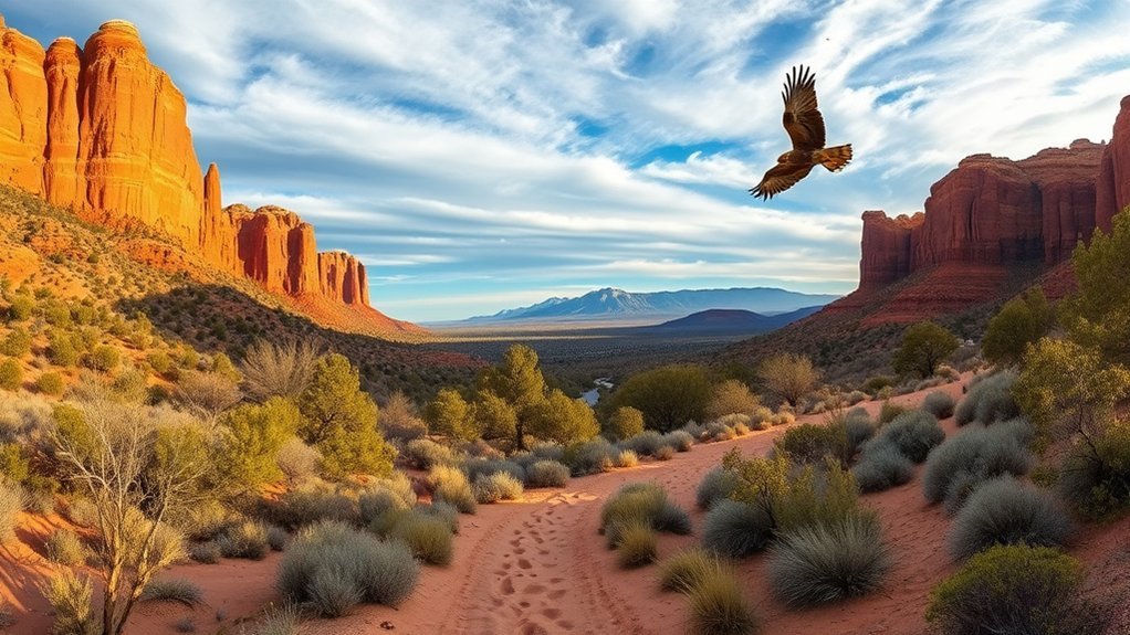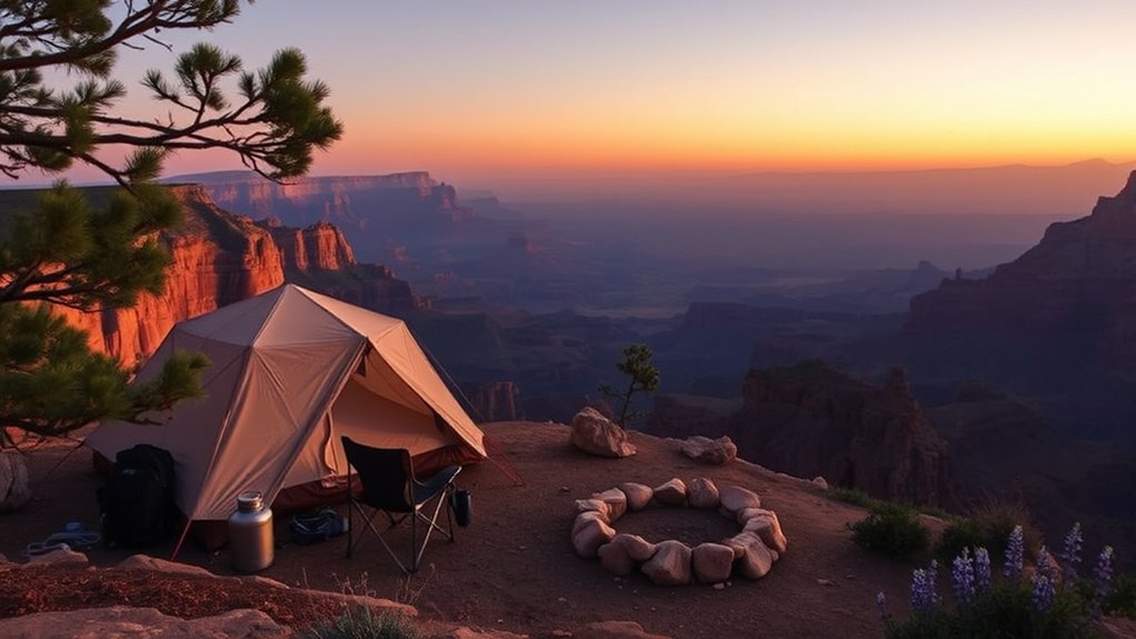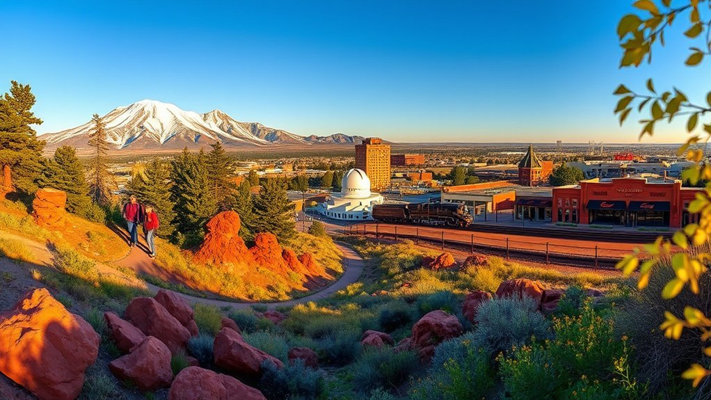
Flagstaff packs an unusual amount into one mountain town. At roughly 7,000 feet, you can explore ancient pueblos, volcanic landscapes, pine forests, historic Route 66, museums, ski slopes, and some of Arizona’s best-known stargazing. The key is matching each activity to the season, your fitness, and current forest conditions. These 25 things to do in Flagstaff range from easy downtown stops to demanding high-altitude adventures.
Quick Answer
The best things to do in Flagstaff include Walnut Canyon, Lowell Observatory, historic Route 66, Sunset Crater, Wupatki, Humphreys Peak, Lava River Cave, Museum of Northern Arizona, Arizona Snowbowl, and the city’s forest trails. Allow two or three days for the highlights, plus extra time for Sedona or a major summit hike.
Key Takeaways
- Flagstaff combines archaeology, astronomy, volcanic scenery, Route 66 history, mountain recreation, museums, and easy day trips.
- Altitude matters. Even downtown sits around 7,000 feet, while Humphreys Peak reaches 12,633 feet.
- Conditions change quickly. Check Forest Service, National Park Service, road, fire, and weather alerts before mountain or forest outings.
- Sunset Crater and Wupatki work especially well together because the monuments are connected by a scenic driving loop.
- Some experiences are strongly seasonal, including skiing, the Arboretum, high-elevation hiking, and water recreation at Mormon Lake.
Flagstaff became the world’s first International Dark Sky City in 2001, making astronomy part of the city’s identity rather than just another nighttime attraction.
Before You Go: Altitude, Weather, and Current Conditions
Flagstaff’s elevation changes how a normal sightseeing day can feel. Drink water regularly, use sun protection, pace strenuous activity, and give yourself time to adjust before attempting a high summit. Nights can become cold even when afternoons feel warm, so layers are useful in every season.
Mountain weather can also change faster than desert visitors expect. Summer monsoon storms can bring lightning and flash flooding, winter storms can affect roads, and wildfire or maintenance closures can temporarily change access to trails and forest roads.
Warning: Before entering Coconino National Forest, Oak Creek Canyon, Lava River Cave, or high-elevation trails, check the current Coconino National Forest alerts. Fire, flood, road, and trail restrictions can change with little notice.
Two or three days gives most first-time visitors enough time for downtown, Lowell Observatory, one national monument outing, and a moderate outdoor activity. Add another day for Sedona, the full Sunset Crater–Wupatki loop, or a strenuous Humphreys Peak attempt.
Explore Walnut Canyon National Monument
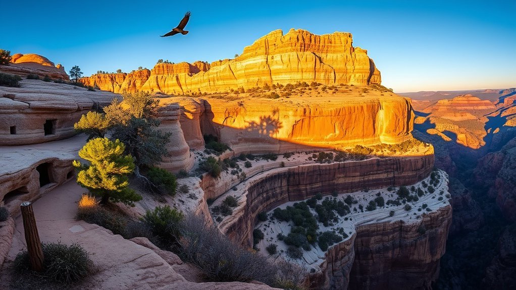
Walnut Canyon National Monument is one of the easiest places near Flagstaff to combine archaeology, geology, and a short hike. The canyon preserves homes built into natural limestone alcoves by ancestral communities who lived here centuries ago.
The most immersive option is the Island Trail, a roughly 0.9-mile round trip with 736 stairs. It passes close to cliff dwellings and interpretive stops, but the staircase and elevation make it much more demanding than the mileage suggests. The Rim Trail is the easier alternative, with a paved section and broad views into the canyon.
Check current hours and trail information on the National Park Service Walnut Canyon page. Bring water, wear shoes with traction, and do not enter closed rooms, climb masonry, or leave designated routes.
Pro Tip: If stairs or altitude are a concern, make the Rim Trail your main walk rather than treating it as a backup. You still get canyon scenery and archaeological context without the long staircase.
Hike Humphreys Peak
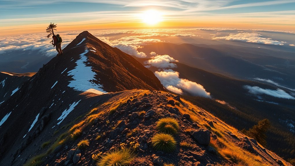
Humphreys Peak rises to 12,633 feet, making it the highest point in Arizona. The standard Humphreys Trail No. 151 runs about 5 to 5.5 miles one way, so a summit day is roughly 10 to 11 miles round trip.
The trail starts near Arizona Snowbowl and climbs from forest into increasingly exposed alpine terrain. Expect sustained elevation gain, loose footing near the upper mountain, cooler temperatures, stronger wind, and less protection from storms as you climb.
Start early, carry more water than you would for a lower-elevation hike, bring layers, and watch the sky carefully during monsoon season. Trekking poles can help on the rocky descent. A summit attempt should be treated as a strenuous full-day objective, not a casual Flagstaff walk.
Warning: Do not push through worsening altitude symptoms, thunderstorms, high wind, ice, or poor visibility simply to reach the summit. Turning around early is the correct decision when conditions deteriorate.
Visit Lowell Observatory
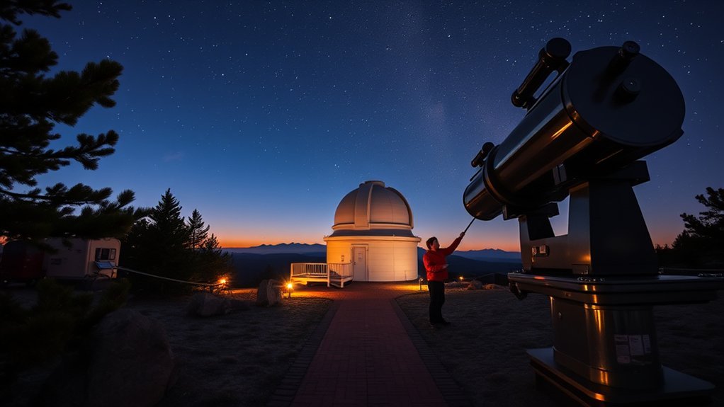
Lowell Observatory is one of Flagstaff’s signature attractions, combining astronomy history with modern public observing. This is where Clyde Tombaugh discovered Pluto in 1930, and the campus still preserves instruments connected with that discovery.
Give yourself enough time to see the historical exhibits before darkness, then stay for telescope viewing if weather allows. Current programs, hours, ticket options, and special events are listed on the official Lowell Observatory website.
Historic Pluto Discovery
The Pluto story is more interesting when you see the tools behind it. Tombaugh photographed sections of sky and compared plates for objects that shifted position against background stars. The observatory interprets that process through its historic Pluto Discovery Telescope area and related exhibits.
Rather than rushing through, look for explanations of photographic plates, the blink-comparison process, and the patient observational work required to identify the faint moving object. It gives the discovery a human scale that a simple “Pluto was discovered here” sign cannot.
Public Telescope Programs
Evening programs can include historic instruments and modern telescopes at facilities such as the Giovale Open Deck Observatory. Targets depend on the season, time, weather, and what is above the horizon.
| Experience | What to Expect | Best For |
|---|---|---|
| Historic telescope viewing | Classic instruments used when conditions permit | Astronomy history |
| Modern public telescopes | Seasonal views of planets, stars, clusters, and deep-sky objects | Hands-on observing |
| Talks and demonstrations | Guided explanations of astronomy and current observing targets | Families and first-time visitors |
Night Sky Events
Lowell also schedules lectures, themed programs, special observing sessions, and astronomy events throughout the year. These change frequently, so check the official calendar rather than planning around an old event listing.
Bring a warm layer even in summer. Standing outside at Flagstaff elevation after dark can feel much colder than the daytime forecast suggests.
Wander Historic Downtown and Route 66
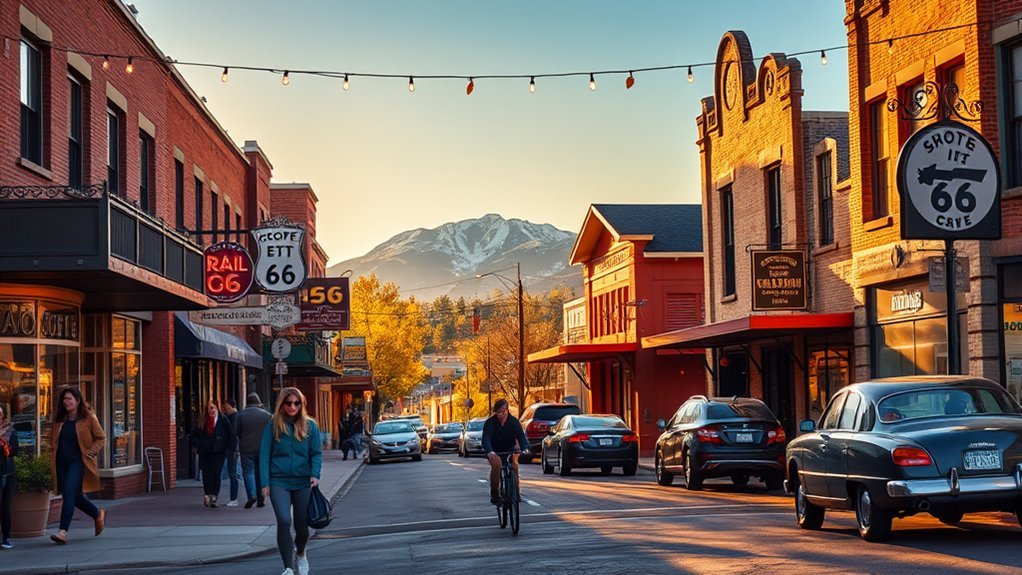
Downtown Flagstaff is compact enough to explore on foot and gives you a break from trailheads and long drives. Historic commercial buildings, railroad history, murals, independent shops, cafés, restaurants, and Route 66 landmarks sit within a few walkable blocks.
Start around the historic core and take time to look above the storefronts, where older architectural details are easier to notice. The railroad and Route 66 both shaped Flagstaff’s development, so the district works particularly well if you enjoy transportation history and historic streetscapes.
The Discover Flagstaff visitor information is useful for current downtown events, Route 66 resources, parking information, and seasonal festivals.
Walk or Bike the Campbell Mesa Loops off Old Walnut Canyon Road
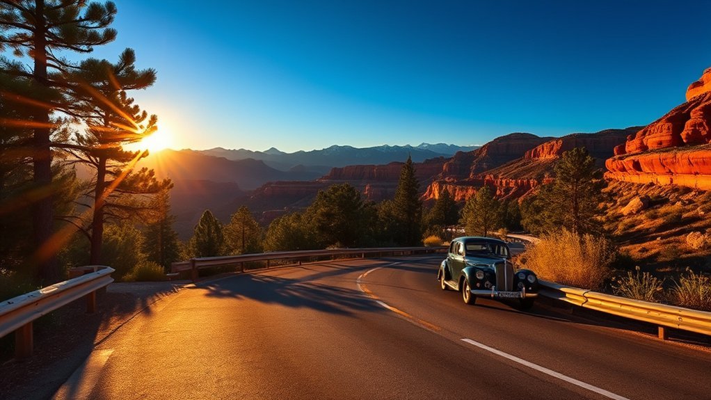
Old Walnut Canyon Road is better used as access to the Campbell Mesa Loop Trails System than as a supposed canyon-overlook driving loop. The Forest Service maintains a network of interconnected loops here for hiking, biking, and horseback riding through ponderosa and open mesa country.
Trail Highlights
The Campbell Mesa system contains five loops, letting you adjust distance without committing to a remote backcountry outing. The Anasazi option creates a roughly 2.7-mile sub-loop, while Walnut Meadows makes a longer circuit around the mesa.
Expect forest rather than Sedona-style red cliffs. The attraction is easy access to pine-covered trails, mesa views, and several route choices close to town.
What to Expect
This is a trail-based outing, not a sequence of formal scenic pullouts. Bring a map or downloaded trail data because interconnected loops can make junctions confusing if you are not watching signs.
| Option | Character | Good Choice For |
|---|---|---|
| Anasazi sub-loop | About 2.7 miles using part of the larger system | A shorter outing |
| Walnut Meadows Loop | Longer mesa circuit with wider views | Hikers and cyclists wanting more distance |
| Interconnected loops | Multiple route combinations | Flexible mileage |
| Forest-road access | Conditions can vary by season | Visitors who check current road status first |
Tour Wupatki National Monument
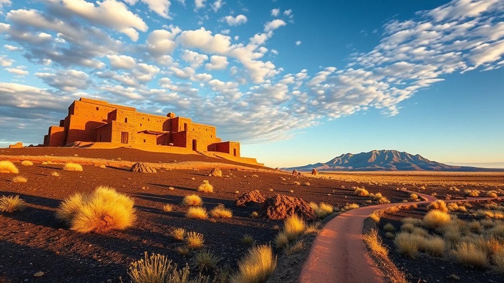
Wupatki National Monument protects ancestral pueblos across an open high-desert landscape north of Flagstaff. The namesake Wupatki Pueblo contains 104 rooms along with a ballcourt and natural blowhole, making it far larger than the original draft suggested.
The main pueblo sits behind the visitor center, while other stops include Wukoki, Lomaki and Box Canyon, and the Citadel/Nalakihu area. Each gives you a different view of architecture, landscape, water scarcity, and community life.
Use the National Park Service Wupatki page to check hours, road status, fees, and current access. Stay on designated paths, never climb or sit on masonry, and leave pottery fragments and other cultural material exactly where you find them.
Note: These are ancestral and culturally meaningful places, not abandoned playgrounds. Follow NPS guidance and treat structures, artifacts, and restricted areas with care.
Walk the Lava River Cave
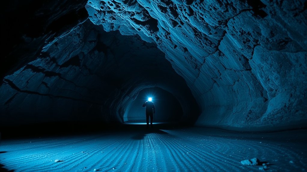
Lava River Cave is a roughly one-mile lava tube in Coconino National Forest. It is completely different from a developed show cave: there are no lights, paved walkways, handrails, or guided infrastructure inside.
The cave stays cold, the floor is rough, and darkness becomes complete once you move away from the entrance. Treat it as a rugged underground hike.
Cave Access & Trailhead
The cave is northwest of Flagstaff and is reached using forest roads rather than directly from Highway 89A. Road conditions can vary with snow, mud, maintenance, and seasonal restrictions, so review the official Lava River Cave information and current forest alerts before driving out.
Parking can fill on busy weekends. Do not rely on cell service for navigation, and save directions before leaving town.
Inside the Lava Tube
Once inside, you move through a basalt lava tube formed by an ancient volcanic flow. Expect irregular rock, areas where the ceiling lowers, loose material, and sections that require careful footing.
The features are volcanic rather than the mineral formations associated with limestone caverns. Look for textures left by flowing and cooling lava instead of expecting stalactites or decorative cave formations.
Safety & Gear Tips
Carry a headlamp plus at least one independent backup light. Every person should have reliable illumination rather than depending on one phone flashlight for the group.
- Wear sturdy footwear with good traction.
- Bring warm layers because cave temperatures stay cold even during summer.
- Consider gloves for rough rock.
- Carry water and a compact first-aid kit.
- Tell someone where you are going and when you expect to return.
- Skip the cave if darkness, uneven terrain, or enclosed spaces create a serious problem for you.
- Follow current Forest Service pet and access rules.
Warning: A dead phone battery can leave you without navigation or light. Use dedicated lighting and carry a backup that does not depend on the same battery or device.
Stroll Through the Arboretum at Flagstaff
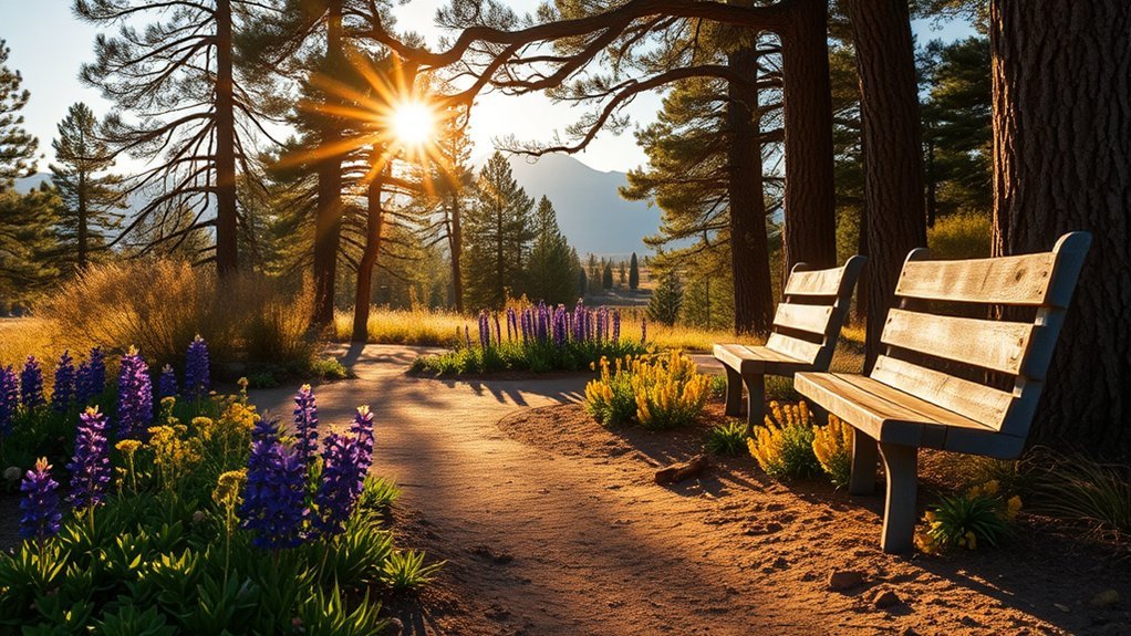
The Arboretum at Flagstaff is a quieter choice when you want nature without a major summit or long backcountry drive. Its collections and trails focus on plants and ecology of northern Arizona and other high-elevation environments.
The Arboretum operates seasonally rather than as a year-round attraction. Check current hours, admission, and program information before visiting.
- Walk the grounds slowly enough to compare forest, meadow, and garden habitats.
- Join a naturalist or docent program when one fits your visit.
- Look for seasonal wildflowers, birds, pollinators, and changing fall foliage.
Trail surfaces and grades vary, so contact the Arboretum directly if you need specific mobility information.
Ski or Snowboard at Arizona Snowbowl
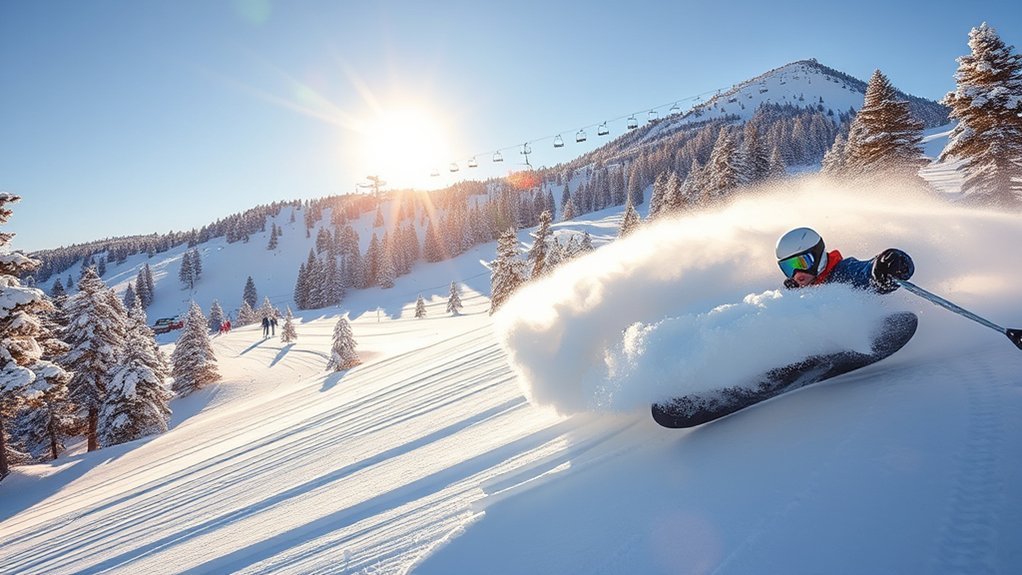
Arizona Snowbowl brings lift-served skiing and snowboarding to the San Francisco Peaks above Flagstaff. Terrain ranges from beginner areas to steeper advanced runs, with rentals and lessons available during the ski season.
Conditions at the mountain can be dramatically colder and windier than downtown. Pack layers, gloves, eye protection, and high-SPF sunscreen. Road and parking procedures can also change during storms or busy weekends.
Outside winter, Snowbowl may operate seasonal scenic experiences such as gondola rides. Check the official Arizona Snowbowl website for current lifts, snow conditions, operating dates, tickets, parking, and summer activities.
Discover Sunset Crater Volcano National Monument
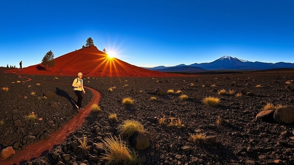
Sunset Crater Volcano National Monument preserves a volcanic landscape created by eruptions roughly a thousand years ago. You cannot simply hike up Sunset Crater’s cone or roam the backcountry. Visitors must stay on designated routes to protect fragile volcanic and archaeological resources.
Good official choices include:
- Lava Flow Trail: a 1-mile loop through volcanic features, with an accessible paved upper section.
- Bonito Vista Trail: a short paved route with views across cinders and the Bonito Lava Flow.
- Lenox Crater Trail: a more strenuous 1.6-mile round trip with elevated views.
- A’a Trail: a short look at jagged basaltic lava.
See the current NPS hiking information before choosing a route. Shade is limited on some trails, and loose cinders or sharp lava can make footing more tiring than the mileage suggests.
Bike the Flagstaff Urban Trails System (FUTS)
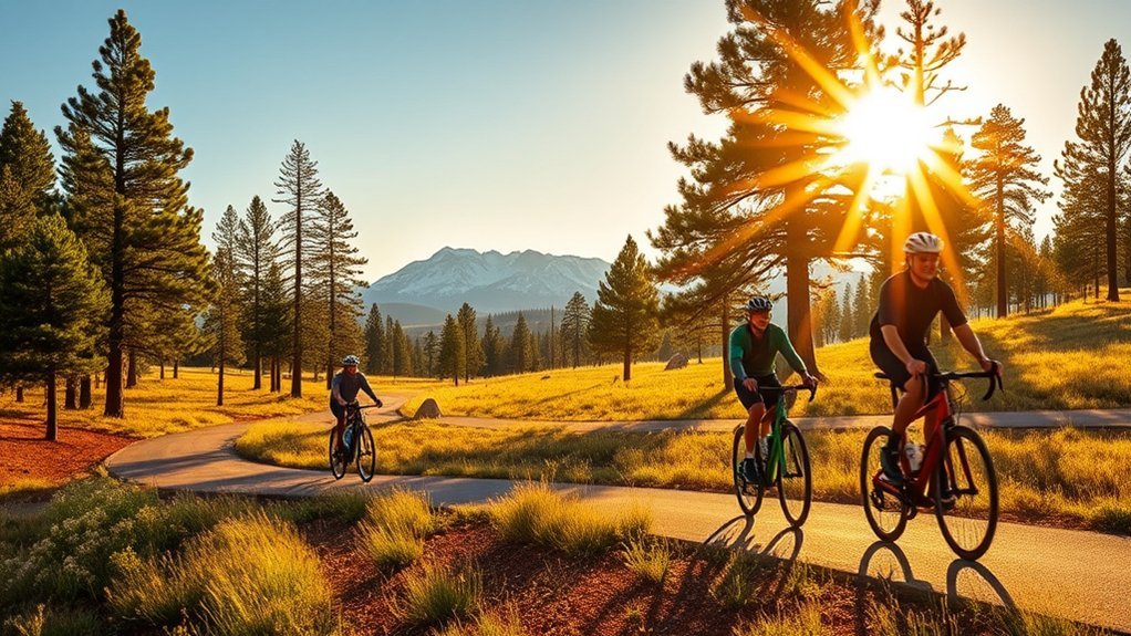
The Flagstaff Urban Trails System (FUTS) gives walkers and cyclists a network of more than 50 miles of shared-use routes connecting neighborhoods, parks, commercial areas, and natural spaces.
Trail Network Overview
FUTS includes both paved and aggregate or natural-surface sections, so do not assume every connection suits a road bike or mobility device. The City of Flagstaff FUTS page provides current maps and network information.
- Connectivity: useful for linking parks, neighborhoods, and central Flagstaff.
- Variety: surfaces and grades range from easy urban paths to more natural sections.
- Flexibility: you can build a short ride or combine connections for a longer outing.
Popular Route Highlights
Routes near the Rio de Flag offer convenient urban connections, while trails around northern Flagstaff can lead toward open spaces such as Buffalo Park. Choose your route from the current map instead of assuming every named park has a continuous paved loop.
If you are visiting without a bike, central FUTS sections can also make pleasant walks between neighborhoods and parks.
Safety and Etiquette
FUTS is shared space. Keep right when practical, pass at a controlled speed, announce yourself before overtaking, and yield according to posted signs. Slow down around children, dogs, blind turns, and busy trail intersections.
- Wear a helmet when cycling.
- Use lights after dark or in low visibility.
- Yield to pedestrians and give them comfortable passing space.
- Move completely off the travel lane when stopping.
- Pack water and a basic repair kit for longer rides.
Explore Museum of Northern Arizona
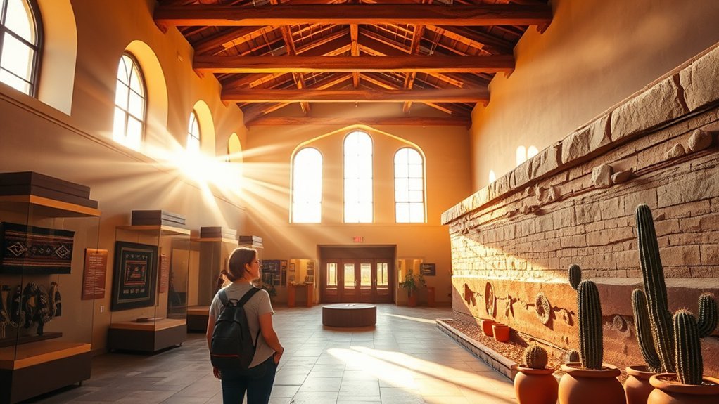
The Museum of Northern Arizona helps connect the landscapes around Flagstaff with the people, art, archaeology, geology, biology, and history of the Colorado Plateau.
Collections and exhibitions can include Indigenous art and material culture, regional geology, anthropology, and natural history. Rotating exhibitions mean the experience changes over time, so check the Museum of Northern Arizona website for current galleries, hours, events, and programs.
This is especially useful early in a trip. Understanding the region’s geology and living Indigenous cultures gives more context to later visits at Walnut Canyon, Wupatki, Sunset Crater, and other Colorado Plateau sites.
Take a Day Trip to Sedona via Oak Creek Canyon
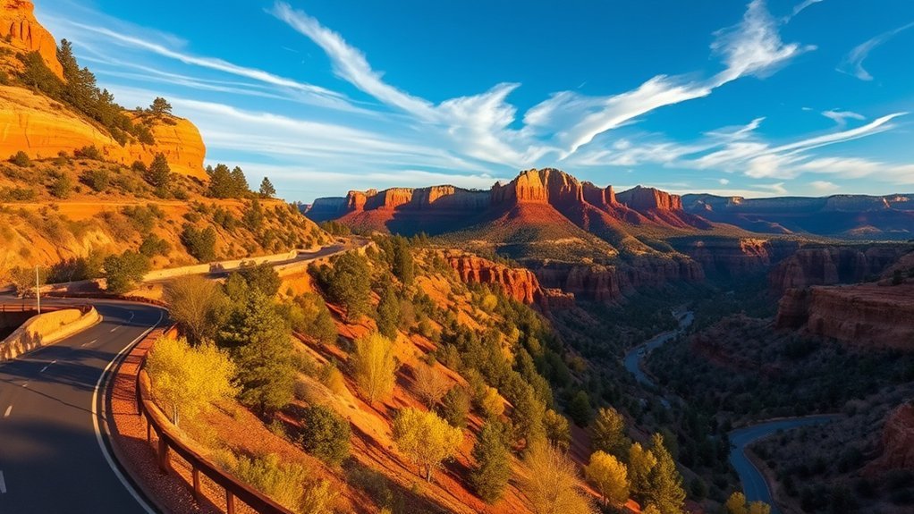
The drive south from Flagstaff through Oak Creek Canyon is one of the most dramatic landscape changes you can make in a short distance. Pine forest gives way to steep canyon walls and, farther south, Sedona’s red-rock scenery.
Make the drive itself part of the day rather than treating Oak Creek Canyon as empty mileage between Flagstaff and Sedona.
Leave enough time for legal viewpoints, a meal, a gallery stop, or a short hike in Sedona. Parking at popular trailheads can be difficult, and some sites use seasonal transit or access controls.
Warning: Oak Creek Canyon is vulnerable to wildfire impacts, monsoon storms, flash flooding, traffic incidents, and temporary closures. Check Forest Service alerts and road conditions shortly before departure.
- Allow extra time for canyon traffic and viewpoints.
- Choose one or two Sedona priorities instead of trying to cover the entire area.
- Carry water and sun protection even if Flagstaff starts cool.
Attend a Live Show at Orpheum Theater
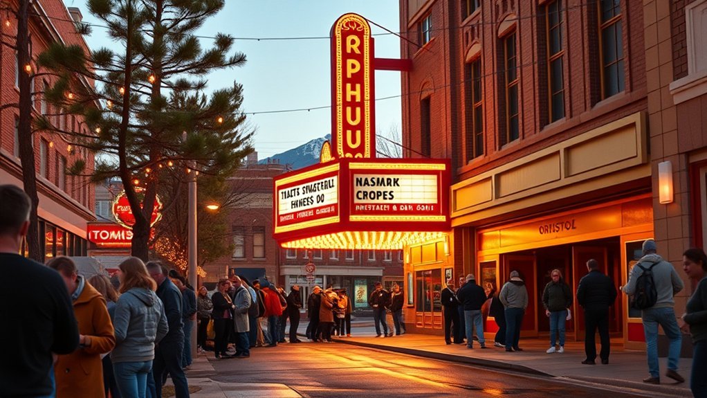
The Orpheum Theater gives you an indoor evening option in the heart of downtown. The venue traces its history to Flagstaff’s early 20th-century entertainment scene and today hosts concerts, comedy, film events, community programming, and other live performances.
Because the lineup changes constantly, check the official Orpheum Theater schedule rather than planning around a generic promise of a particular type of show.
Its downtown location makes it easy to combine a performance with dinner, coffee, or a walk through the historic district.
Sample Local Brews on the Flagstaff Brewery Trail
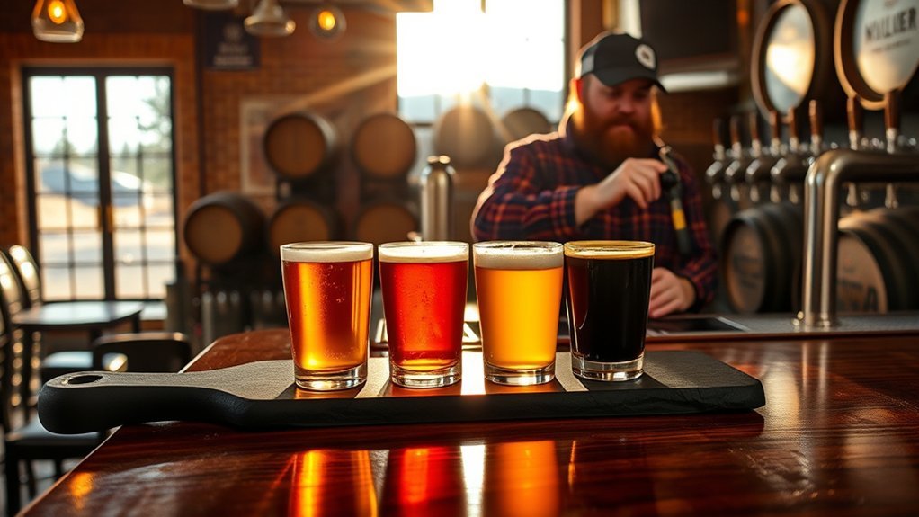
Flagstaff has a well-established craft-beer scene, and visiting a few taprooms can be an easy way to spend a relaxed afternoon or evening. Use the current Flagstaff Brewery Trail information to see participating breweries and plan stops that are close enough to walk or reach safely without driving after drinking.
Popular Local Breweries
Long-running and current Flagstaff names include breweries such as Mother Road, Historic Brewing, Beaver Street Brewery, Lumberyard, Dark Sky Brewing, and others. Taps, food service, operating hours, and locations can change, so verify what is open before building an evening around a particular stop.
- Choose two or three nearby breweries rather than trying to visit every taproom.
- Look for smaller tasting pours if you want to compare styles.
- Eat before or during the outing and drink water between alcoholic beverages.
Tasting Flight Tips
If you order a flight, moving from lighter and lower-intensity beers toward stronger, darker, or more bitter styles can make the differences easier to notice. Ask the staff which order they recommend because the beers on a flight may not fit a simple light-to-dark sequence.
Take notes on one or two favorites instead of trying to analyze every pour. Seasonal and small-batch releases are often the most useful reason to choose a flight rather than a full glass.
Pairings and Bites
Food can make a tasting slower and more enjoyable. Crisp beers often work well with salty or fried foods, hoppy beers can complement spicy dishes, and darker malt-driven beers can match grilled foods or desserts.
- Start with smaller pours.
- Eat and hydrate as you go.
- Use a designated driver, rideshare, taxi, or walking route if you drink alcohol.
Visit Riordan Mansion State Historic Park
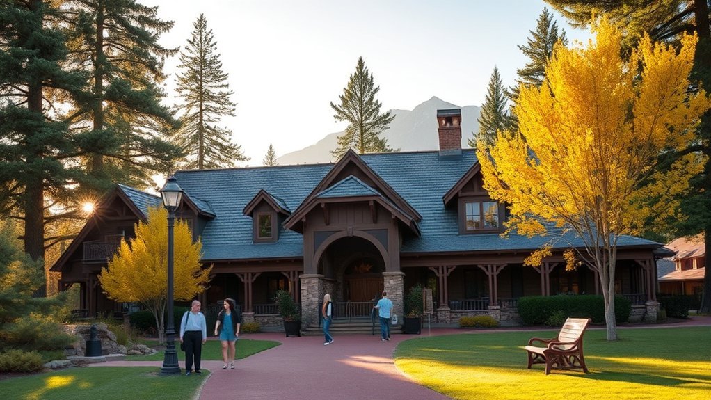
Riordan Mansion State Historic Park preserves an unusual pair of connected Arts and Crafts-style homes associated with a family important to Flagstaff’s early lumber industry and civic development.
The interior is best experienced on a guided tour, where original furnishings, woodwork, architectural details, and stories about daily life make the building easier to understand. Tour availability and hours vary by season, and reservations are recommended for many visits.
Check Arizona State Parks for current tour schedules, fees, and accessibility details. The first floor has wheelchair access within stated dimensional limits, while alternate interpretation is available for areas that cannot be reached by all visitors.
Return to Mars Hill for Evening Stargazing
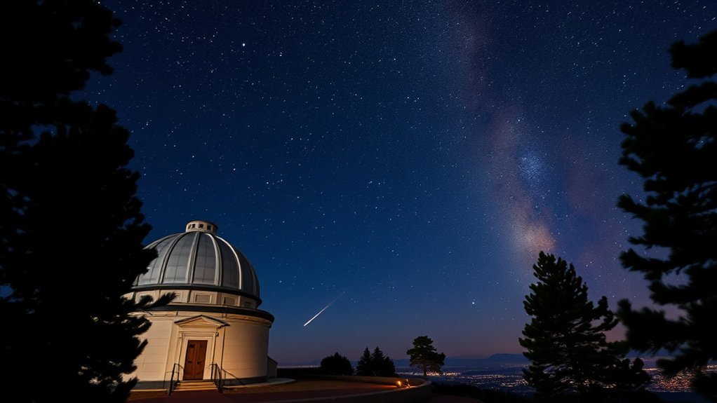
If you visited Lowell Observatory in daylight for its history, returning after dark gives the experience a different purpose. Mars Hill is where public observing, constellation orientation, astronomy talks, and telescope sessions can turn abstract objects into something you have actually seen.
Programs depend on weather and season, so no specific planet or deep-sky target is guaranteed. Cloud cover, wind, the Moon, and the time of year all affect what is visible.
- Check the evening program schedule before arrival.
- Bring warm layers, even after a hot afternoon.
- Give your eyes time to adapt to lower light.
- Avoid shining bright white lights around active observing areas.
Flagstaff’s dark-sky history adds context to the experience. DarkSky International recognizes Flagstaff as the world’s first International Dark Sky City, designated in 2001. Learn more from DarkSky International.
Visit Mormon Lake for Wildlife, Scenery, and Seasonal Water Recreation
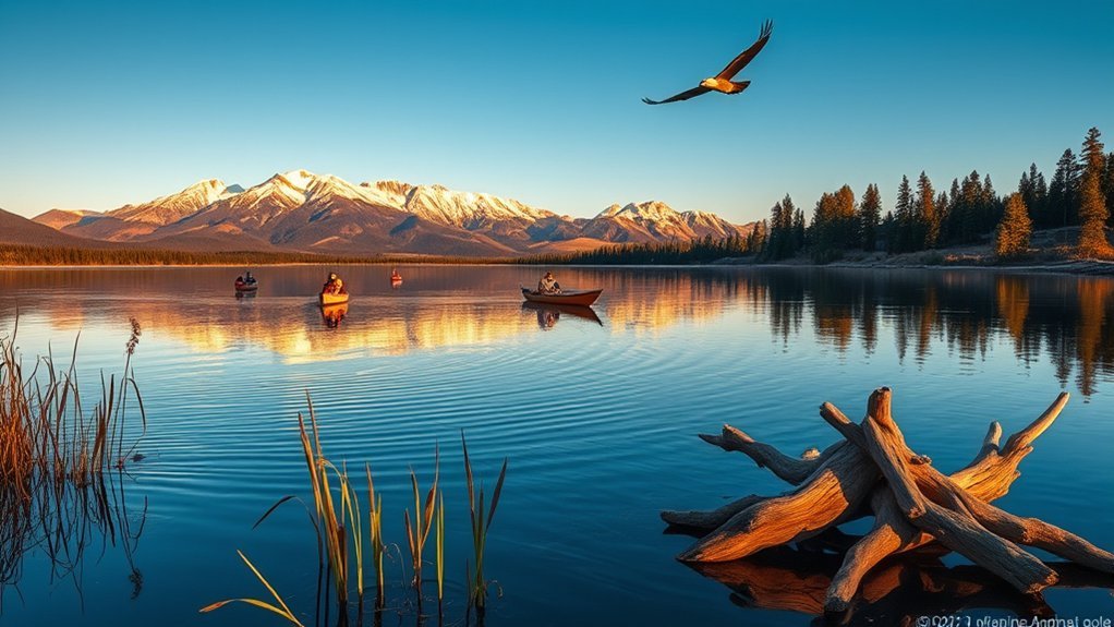
Mormon Lake needs realistic expectations. Although it is known as Arizona’s largest natural lake, its water level varies dramatically, and during dry periods much of the basin can resemble a meadow rather than a conventional lake.
The Coconino National Forest states that boating and fishing are possible only when Mormon Lake has water. Do not drive out assuming you will be able to launch a kayak or spend the day fishing.
Even when water recreation is not practical, the area can still work for birding, wildlife watching, scenic drives, nearby camping, and forest recreation. If fishing is part of your plan, check current Arizona fishing-license and regulation requirements before going.
Pro Tip: Check the lake’s current water conditions before leaving Flagstaff. If paddling is your main goal and Mormon Lake is too low, investigate current conditions at other regional reservoirs instead of forcing the original plan.
Hike Fatman’s Loop on Mount Elden
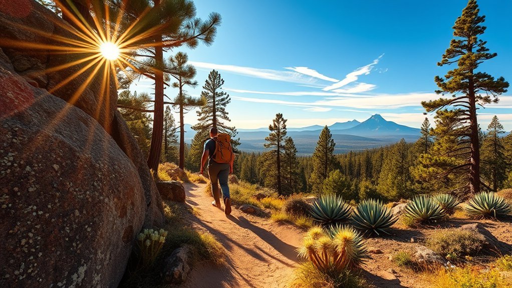
Fatman’s Loop Trail No. 25 is a practical choice when you want a real Flagstaff hike without committing to Humphreys Peak. The Forest Service rates the 2.5-mile loop as moderate, with about 600 feet of elevation gain and an estimated walking time of roughly 1 to 1.5 hours.
The trail climbs through ponderosa forest and rocky volcanic terrain on the lower slopes of Mount Elden. Wear shoes with traction, carry water, and expect the uphill sections to feel harder at Flagstaff elevation than their mileage suggests.
- Distance: about 2.5 miles.
- Elevation gain: roughly 600 feet.
- Difficulty: moderate.
- Typical time: around 1 to 1.5 hours, depending on pace and stops.
See the official Fatman’s Loop page for current conditions.
Note: Kelsey Trail is a different hike in the Sycamore Canyon Wilderness. It can be combined with Dorsey Spring Trail for a longer loop, but it does not lead to Fatman’s Loop.
Experience Indigenous Arts Events and Cultural Programs
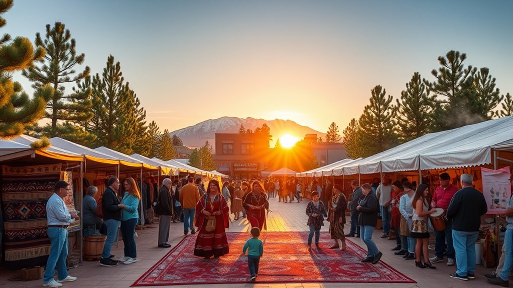
Flagstaff sits within a region shaped by living Indigenous nations, and cultural programs can offer a far better introduction than treating Native history as something that ended centuries ago. The Museum of Northern Arizona is one of the strongest places to look for current artist markets, demonstrations, talks, performances, and its annual Heritage Festival.
Indigenous Arts Markets
When buying jewelry, pottery, textiles, paintings, carvings, or other work, purchasing directly from identified artists or reputable juried events gives you a chance to learn who made the piece and how the artist describes it.
- Ask the artist about the work rather than assuming a symbol’s meaning.
- Look for the artist’s name or identifying information.
- Do not photograph artists, ceremonies, demonstrations, or artwork without permission.
- Respect posted restrictions even if other visitors ignore them.
Seasonal Cultural Festivals
Schedules change from year to year. Check the Museum of Northern Arizona’s Heritage Festival information and current event calendar rather than assuming a powwow, dance, or market will occur during your dates.
Attend as a guest. Listen to event organizers, follow photography rules, and avoid treating culturally significant clothing, songs, dances, or ceremonies simply as entertainment or photo props.
Drive the Sunset Crater–Wupatki Scenic Loop
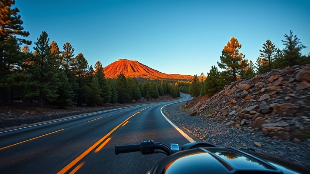
The best volcanic scenic drive north of Flagstaff is not simply a 14-mile run to Sunset Crater. The National Park Service describes a roughly 34-mile scenic loop that connects Sunset Crater Volcano and Wupatki National Monuments.
The route shifts from ponderosa forest and black lava fields to lower, drier country with broad Painted Desert views and ancestral pueblos.
Without stops, the road itself can be driven relatively quickly, but that misses the point. Allow several hours if you want to walk a Sunset Crater trail, visit Wupatki Pueblo, explore another pueblo stop, and use the overlooks.
- Start with Sunset Crater’s visitor information and a designated lava trail.
- Continue through the changing volcanic and high-desert landscape.
- Stop at Wupatki Pueblo and one or more additional open pueblo sites.
- Carry water and check monument hours before committing to a late-afternoon start.
Use the NPS Sunset Crater trip-planning page for current road, fee, and visitor information.
Explore Fort Tuthill County Park and Events
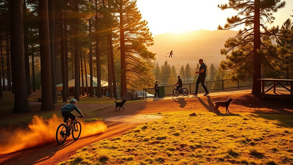
Fort Tuthill County Park sits a few miles south of Flagstaff in ponderosa forest and works well when a group wants several recreation choices in one place. Coconino County manages the large regional park as a year-round recreation destination.
Depending on the season and your interests, options can include multi-use trails, the bike park, disc golf, camping, archery-related facilities, organized recreation, large events, and partner-operated attractions.
Check the official Coconino County Fort Tuthill page for current amenities, events, hours, maps, accessibility information, and seasonal notices.
The county’s bike park is also a useful option for riders who want skill-focused features rather than a long cross-country trail day.
Try Rock Climbing Around Flagstaff
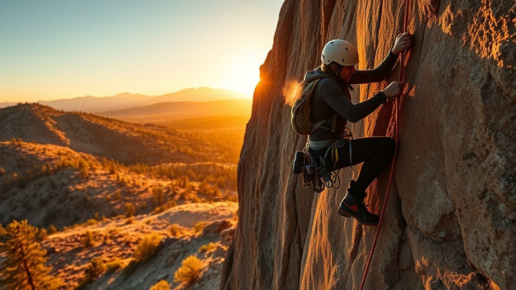
Flagstaff has established climbing and bouldering opportunities on and around Coconino National Forest, but route access, closures, approach conditions, and permitted uses vary by location. There is no need to invent a “Lewis and Clark” climbing area to make this recommendation useful.
Start with the Coconino National Forest climbing and caving information, then verify the specific area you intend to visit.
- Choose terrain that matches your actual climbing experience.
- If you are new, use qualified instruction rather than learning anchors or belaying from trial and error.
- Check wildlife, fire, and temporary-access closures before leaving town.
- Stay on established approaches and pack out tape, food waste, and other trash.
- Do not assume existing bolts, anchors, or fixed equipment are automatically safe.
Photograph the San Francisco Peaks
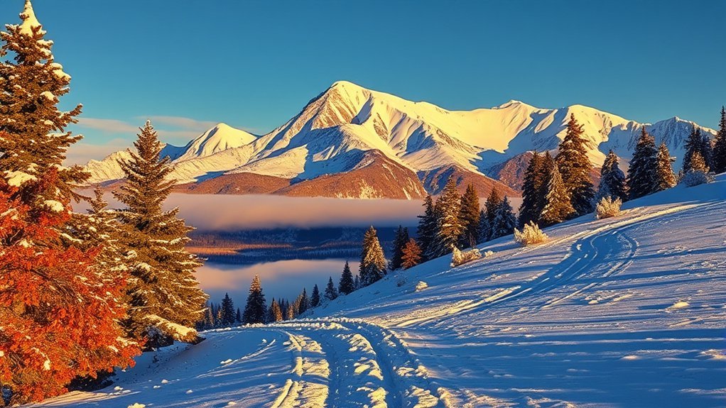
The San Francisco Peaks dominate Flagstaff’s skyline and change character with snow, monsoon clouds, autumn aspens, and shifting light. You do not need a formal photography tour to make them a worthwhile subject.
Use legal public viewpoints, open trails, Buffalo Park, or permitted roadside pullouts where the peaks are visible. Before driving onto forest roads for a particular viewpoint, check current road closures rather than relying on an old photo-location recommendation.
| Subject | Practical Tip |
|---|---|
| Sunrise | Arrive before the color begins and compose while there is still time to move. |
| Telephoto | Use it to isolate ridges, snowfields, and changing cloud patterns. |
| Wide angle | Include meadow, forest, or trail foregrounds to show scale. |
| Tripod | Useful for low light, but unnecessary for every daylight composition. |
| Weather | Photograph dramatic skies from a safe location rather than remaining exposed during lightning. |
Relax and Dine on Historic Beaver Street
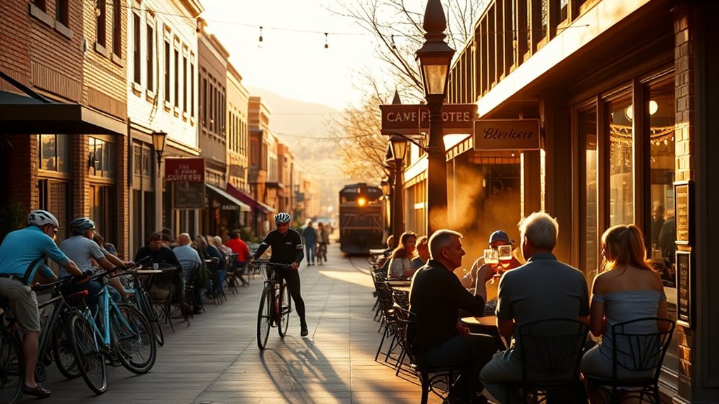
Beaver Street and the surrounding downtown blocks are good places to slow down after hiking or sightseeing. Restaurants, cafés, bars, shops, and historic buildings sit close enough together that you can choose a place based on what looks appealing rather than building the evening around another long drive.
Menus change, so avoid assuming every visit will include a particular Southwestern dish, local beer, or live-music schedule. Instead, check current restaurant hours and wander the compact downtown area before deciding.
- Choose a patio when weather is comfortable.
- Walk between dinner, dessert, and coffee instead of moving the car repeatedly.
- If you drink alcohol, leave the car parked and use a safe ride home.
Frequently Asked Questions
What are the best months to visit Flagstaff for mild weather?
Late spring and early fall are popular for comfortable daytime sightseeing, but Flagstaff’s elevation means cool nights and occasional weather changes are normal. Summer is good for high-country activities but includes monsoon storms, while winter is best if skiing, snow play, or a snowy mountain atmosphere is your priority.
Are there shuttle services from Phoenix to Flagstaff?
Yes. Scheduled shared transportation operates between the Phoenix area and Flagstaff. Services such as Groome Transportation publish current schedules and booking information. A normal airport shuttle is transportation, not necessarily a narrated sightseeing tour, so check exactly what a provider includes before booking.
Is Flagstaff dog-friendly on trails and in downtown areas?
Many Flagstaff-area trails and businesses welcome dogs, but rules depend on the land manager and location. National monuments have tighter pet restrictions than many Forest Service trails, and individual restaurants or shops set their own policies. Keep your dog leashed where required, carry water and waste bags, and check the exact destination’s current pet rules before leaving.
Which Flagstaff attractions have accessible options?
Accessibility varies by attraction. Walnut Canyon’s Rim Trail is much more accessible than the stair-heavy Island Trail. Sunset Crater identifies Bonito Vista Trail and the upper portion of Lava Flow Trail as accessible. Wupatki Pueblo has an accessible paved overlook route, and Riordan Mansion provides first-floor wheelchair access with alternate interpretation for inaccessible areas. Always check the official accessibility page for the specific site before traveling.
What permits or passes are required for Flagstaff trailhead parking?
There is no single pass required at every Flagstaff trailhead. Many Forest Service trailheads are free, while some developed recreation sites charge day-use fees or have special rules. National monuments charge their own entrance fees, and other destinations may use separate parking or recreation passes. Check the exact trailhead or attraction rather than buying a pass based on a general Flagstaff rule.
How many days do you need in Flagstaff?
Two or three days works well for a first visit. That gives you time for downtown, Lowell Observatory, one or two national monuments, and a moderate trail. Add another day for Sedona, a long scenic loop, skiing, or a strenuous Humphreys Peak hike.
Does Flagstaff’s altitude affect visitors?
It can. Flagstaff sits around 7,000 feet, and several popular outings climb much higher. Take strenuous exercise more slowly than you would at low elevation, drink water regularly, use sun protection, and give yourself time to adjust before attempting a major summit.
Conclusion
Flagstaff works best when you embrace its variety rather than trying to turn every day into a major hike. You can descend into Walnut Canyon in the morning, learn the region’s story at a museum in the afternoon, walk historic Route 66 before dinner, and finish under the telescopes at Lowell Observatory.
Build your trip around the season and current conditions. Save Humphreys Peak for a day when your fitness and the weather support it, treat Lava River Cave as a rugged underground outing, verify Mormon Lake’s water level before planning to paddle, and check forest alerts before heading toward Oak Creek or remote trailheads. With those details handled, Flagstaff’s volcanic landscapes, forests, history, Indigenous cultures, mountain recreation, and dark skies can easily fill several memorable days.
Sources
- DarkSky International: Flagstaff, Arizona — Flagstaff’s 2001 dark-sky designation and night-sky history.
- National Park Service: Walnut Canyon Things to Do — Island Trail, Rim Trail, distances, stairs, and visitor planning.
- National Park Service: Sunset Crater Hikes and Trails — designated trails, distances, difficulty, and accessibility.
- National Park Service: Wupatki Pueblo and Blowhole — Wupatki Pueblo’s 104 rooms, ballcourt, blowhole, and access information.
- Coconino National Forest: Humphreys Trail No. 151 — official trail distance and high-elevation route information.
- Coconino National Forest: Lava River Cave — cave length, access, conditions, and safety planning.