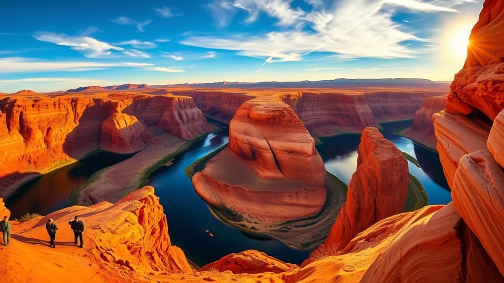
Page, Arizona puts several of the Southwest’s most memorable landscapes within reach: Antelope Canyon, Horseshoe Bend, Lake Powell, Glen Canyon, and miles of sandstone desert. The key is knowing which places require Navajo-guided tours, which need permits, and which depend on changing lake or road conditions. This guide covers the best viewpoints, hikes, water adventures, cultural stops, and practical planning details for a safer, smoother trip.
Quick Answer
The best things to do in Page, Arizona include touring Antelope Canyon with an authorized Navajo guide, hiking to Horseshoe Bend, exploring Lake Powell, visiting Glen Canyon Dam, hiking Hanging Garden, taking a Colorado River trip, and planning longer outings to Rainbow Bridge or Vermilion Cliffs.
Key Takeaways
- Reserve Antelope Canyon early: Upper and Lower Antelope Canyon require an authorized Navajo-guided tour.
- Check Lake Powell conditions: water levels can change launch ramps, docks, beaches, and Rainbow Bridge access.
- Carry more water than you expect to need: Horseshoe Bend and many Page-area trails have little or no shade.
- Take flash-flood warnings seriously: never enter a slot canyon when storms threaten its drainage area.
- Give Page at least two days: that allows time for Antelope Canyon, Horseshoe Bend, Lake Powell, and one or two shorter hikes without rushing.
Planning Your Page, Arizona Trip
Page is compact, but its attractions fall under several different jurisdictions. Antelope Canyon is on Navajo Nation land, Horseshoe Bend is within Glen Canyon National Recreation Area while its parking is managed by the City of Page, and destinations such as Wire Pass are managed by the Bureau of Land Management. Rules and fees therefore vary from place to place.
For water-based plans, check the National Park Service Lake Powell conditions page shortly before your trip. Reservoir levels can change launch-ramp availability, shoreline access, and the approach to Rainbow Bridge.
Warning: Summer heat and monsoon storms can make otherwise easy outings dangerous. Avoid exposed hikes during the hottest part of the day, carry ample water, and never enter a slot canyon when rain or flash flooding is possible upstream.
Best Time to Visit Page
Spring and fall are usually the easiest seasons for hiking because temperatures are generally more comfortable than midsummer. Summer provides long days and popular water activities, but exposed desert trails can become dangerously hot. Late-summer monsoon storms also increase flash-flood concerns in slot canyons and washes.
Winter brings cooler days, colder nights, and fewer visitors, but some tours and water services operate on reduced schedules. Whatever the season, check the forecast and attraction-specific operating information immediately before heading out.
How Many Days Do You Need?
With one full day, combine a reserved Antelope Canyon tour with Horseshoe Bend and one nearby overlook. With two days, add Lake Powell, Hanging Garden, Glen Canyon Dam, or a Colorado River activity. A three-day stay gives you room for a longer outing such as Lees Ferry, Wire Pass, Vermilion Cliffs, or Alstrom Point without packing every hour.
Antelope Canyon
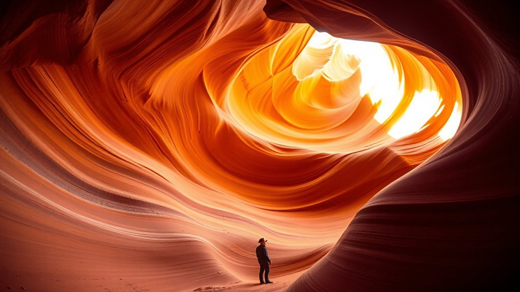
Antelope Canyon is one of Page’s signature experiences, but it is not a self-guided hike. Upper and Lower Antelope Canyon lie on Navajo Nation land, and Navajo Nation Parks & Recreation requires visitors to enter with an authorized guide.
Your guide leads you through water-carved sandstone passages while explaining the landscape, safety rules, and cultural context. Light changes constantly inside the canyon, producing colors that can shift from pale orange to deep red and purple depending on the time of day and your camera.
Reserve well ahead during busy seasons. Tours may be delayed or canceled when weather creates a flash-flood risk, and each operator may have its own policies concerning bags, tripods, camera equipment, mobility, and children.
Pro Tip: Choose Upper Antelope if you prefer a generally wider canyon floor and easier walking. Lower Antelope includes stairs and narrower passages, making it more physically involved.
Horseshoe Bend
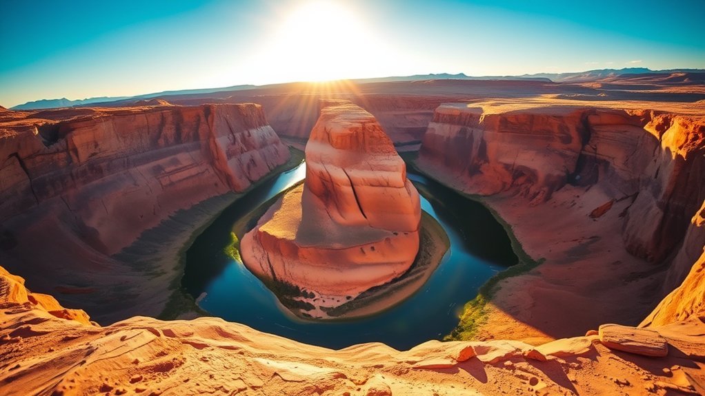
At Horseshoe Bend, the Colorado River wraps around a sandstone escarpment roughly 1,000 feet below the rim. The National Park Service lists the hardened trail as about 1.5 miles round trip. There is little shade and no water along the trail.
A railed viewing platform provides one of the safest places to take in the main view, but much of the surrounding rim remains exposed. Keep children and pets close, stay well away from unprotected edges, and never step backward toward a cliff while composing a photograph.
Best Time to Visit
Early morning and late afternoon provide lower temperatures and softer light than the middle of the day. Sunrise can be quieter, while sunset often brings stronger warm colors and larger crowds.
In summer, heat should influence your schedule more than photography. Avoid the hottest part of the day when possible. Spring and fall are generally more comfortable, while winter can bring cold winds at the exposed rim.
Photo Tips and Safety
A wide-angle lens is useful for including the complete river bend, while a moderate telephoto can isolate cliffs and layers of canyon. Bracketing exposures can help when bright sky and dark canyon shadows exceed your camera’s dynamic range.
A tripod can be useful around sunrise, sunset, or blue hour, but place it only on stable ground well away from exposed edges. The best photograph is never worth moving beyond a safe position.
Note: Horseshoe Bend parking is managed by the City of Page. National Park Service and America the Beautiful passes do not cover the city parking fee.
Lake Powell Boat Tour
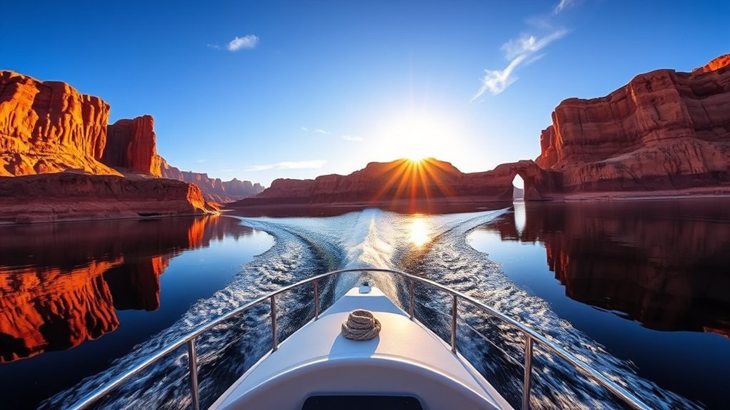
A boat trip on Lake Powell shows a side of Glen Canyon that roads cannot reach. Depending on the route and current water level, you may pass towering sandstone walls, side canyons, bays, beaches, and narrow inlets.
Commercial schedules and accessible destinations change with lake conditions, so verify the exact route before paying for a tour. The National Park Service maintains a list of authorized guided services in Glen Canyon.
- Choose an early or late departure for cooler temperatures and softer light.
- Bring drinking water, sun protection, and a secure layer for wind.
- Confirm the trip duration, boarding location, and current lake-access conditions.
- For smaller side canyons, consider an authorized kayak or paddlecraft tour instead of assuming a large tour boat can enter.
Rainbow Bridge National Monument
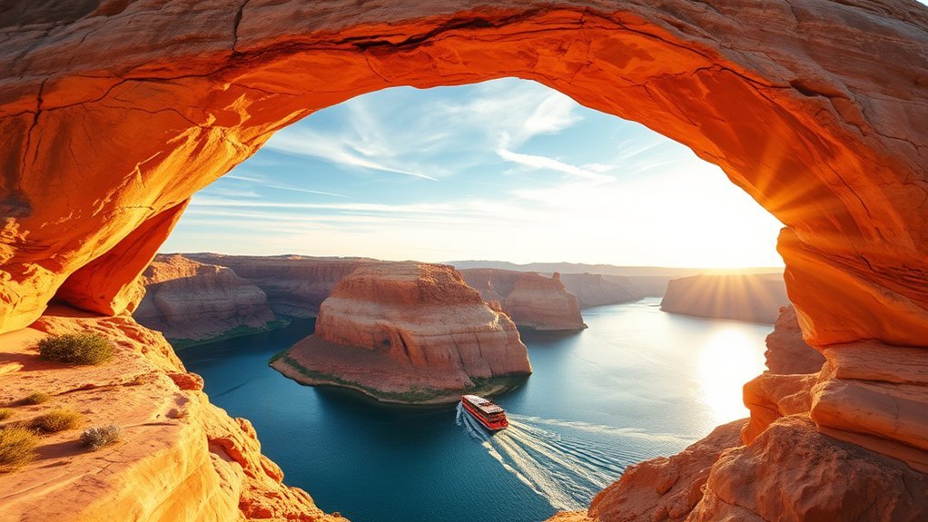
Rainbow Bridge National Monument protects one of the world’s largest known natural bridges. The stone span stretches about 275 feet and rises roughly 290 feet above Bridge Creek. It is also a sacred place for several associated Indigenous nations, so approach it as more than a scenic landmark.
How to Visit
Rainbow Bridge is remote. According to the National Park Service, visitors reach it either by boat or by a demanding backcountry route of approximately 14 miles one way around Navajo Mountain. Hiking across Navajo Nation land requires appropriate Navajo Nation permission.
At current lower lake levels, the floating dock does not connect directly to land. Small boats may be able to beach, but shoreline conditions can include mud, sand, quicksand, or unstable soil. From the shore area, the current approach to the monument is approximately 1.2 miles on foot.
- Check current Lake Powell and Rainbow Bridge access conditions.
- Carry enough fuel, water, food, and sun protection for a remote outing.
- Do not assume a commercial boat tour is operating on your date.
- Respect posted boundaries and cultural guidance.
Warning: Rainbow Bridge National Monument is closed from sunset to sunrise, and camping is not permitted inside the monument. Current shoreline access can be difficult because the dock does not reach land.
Cultural and Natural Significance
Rainbow Bridge is both a major geologic feature and a living cultural landscape. The National Park Service identifies the bridge as sacred to several associated tribes, including the Navajo Nation, Hopi Tribe, Kaibab Paiute Tribe, San Juan Southern Paiute Tribe, Pueblo of Zuni, and Ute Mountain Ute Tribe.
| Aspect | Cultural Importance | Geological Context |
|---|---|---|
| Meaning | Sacred traditional landscape | Large natural sandstone bridge |
| Visitor responsibility | Respect cultural protocols | Stay on established routes |
Glen Canyon National Recreation Area
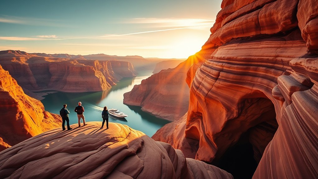
Glen Canyon National Recreation Area stretches across more than 1.25 million acres of Arizona and Utah. Around Page, it includes Lake Powell, Horseshoe Bend, Glen Canyon Dam, Hanging Garden, Wahweap, and numerous opportunities for boating, paddling, hiking, camping, and scenic driving.
Linger beyond Antelope Canyon and you begin to see how much of the Page experience belongs to the broader Glen Canyon landscape.
- Boat or paddle on Lake Powell when launch conditions allow.
- Walk short desert trails during the cooler hours of the day.
- Explore overlooks such as Wahweap and Dam Overlook.
- Camp only where permitted and follow current fire, waste, and shoreline rules.
Because Lake Powell infrastructure changes with reservoir elevation, use the official NPS conditions page rather than assuming an old map or travel article is still accurate.
Vermilion Cliffs National Monument
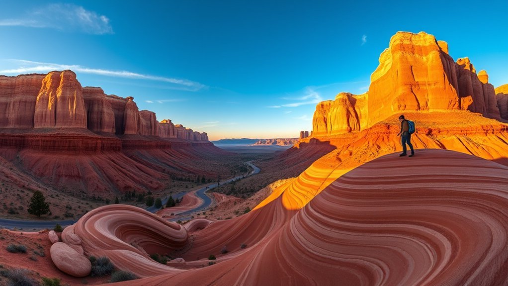
Vermilion Cliffs National Monument offers a much wilder experience than Page’s developed overlooks. Expect broad desert views, colorful sandstone, rough roads, limited services, and routes where navigation skills matter.
The monument itself does not have one universal visitor permit, but individual destinations have their own rules. Coyote Buttes North, including The Wave, and Coyote Buttes South require limited-entry permits, while overnight travel in Paria Canyon has a separate permit system. Review the Bureau of Land Management guidance for the exact destination you plan to visit.
California condors can sometimes be seen in the broader region. Carry binoculars, stay far from wildlife, and never approach or feed animals.
Lower Antelope Canyon: Photography and Tour Rules
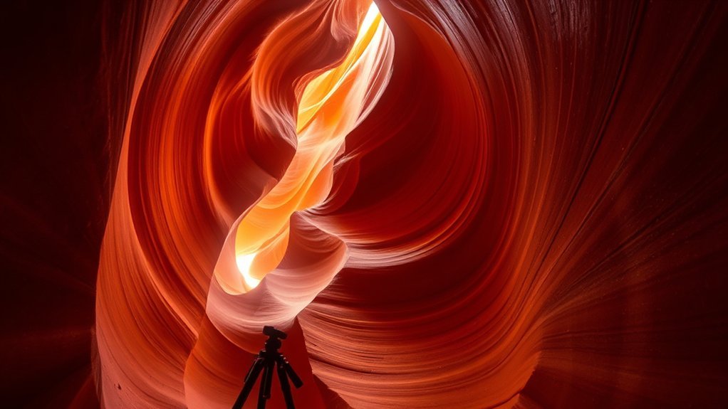
Lower Antelope Canyon combines narrow sandstone corridors with stairs and changing elevation. It is more physically involved than Upper Antelope, so consider your comfort with steps, confined spaces, and uneven footing before booking.
Do not plan this as an independent photography expedition. Navajo Nation Parks currently does not issue photography or filming permits for Upper or Lower Antelope Canyon. Standard guided sightseeing tours remain the normal way to visit, and individual operators set their own rules for personal cameras and gear.
Best Time to Shoot
Light inside Lower Antelope changes by season, cloud cover, and sun angle. Brighter midday conditions can illuminate the canyon more strongly, but specific light beams are never guaranteed. Book the tour time that suits your schedule and treat good light as a bonus rather than a promise.
- Keep your camera setup simple and quick to operate.
- Expose carefully for bright sandstone highlights.
- Raise ISO when needed rather than slowing your group.
- Follow your guide’s instructions about where and when photography is allowed.
Camera Gear Essentials
A phone or compact camera works well for most visitors. If you use an interchangeable-lens camera, a wide or standard zoom gives you flexibility in tight passages. Carry a microfiber cloth because blowing sand can reach lenses easily.
Leave bulky equipment behind unless your specific operator explicitly permits it. Do not assume tripods, large bags, lighting stands, or specialized photography equipment will be accepted.
Navigating Light Beams
Instead of chasing one famous beam photograph, watch how reflected light changes the sandstone throughout the canyon. Your guide controls the pace and visitor flow, so stay with the group and avoid blocking narrow passages.
- Watch exposure: bright openings can clip quickly.
- Use reflected light: indirect light often creates the richest wall colors.
- Keep moving: do not hold up the tour for elaborate setups.
- Respect instructions: weather and crowd conditions can change procedures.
Upper Antelope Canyon Guided Walk
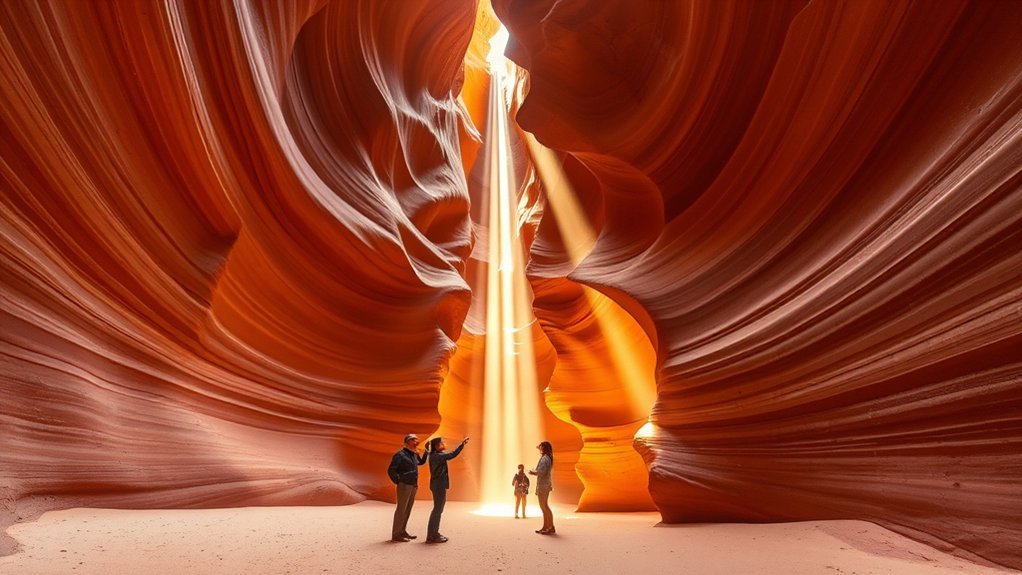
Upper Antelope Canyon is generally easier underfoot than Lower Antelope because its main canyon floor is broader and involves fewer stair transitions during the primary canyon experience. An authorized Navajo guide is mandatory.
Upper Antelope is especially popular with first-time visitors who want the classic smooth sandstone walls without as much climbing. Midday light is often strongest, but the canyon remains photogenic throughout operating hours.
| Feature | What to Expect |
|---|---|
| Canyon floor | Generally broader than Lower Antelope |
| Walking | Guided and controlled |
| Photography | Personal photography subject to operator rules |
| Weather | Tours may close for unsafe conditions |
Book ahead, arrive at the meeting location specified by your operator, and follow all Navajo Nation and guide instructions.
Carl Hayden Visitor Center at Glen Canyon Dam
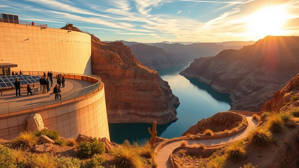
The Carl Hayden Visitor Center beside Glen Canyon Dam is one of the best indoor stops for understanding how the dam, Colorado River, Lake Powell, and regional water system fit together.
Exhibits cover the dam, water, natural resources, and Glen Canyon. Large windows and nearby viewpoints provide dramatic views of the structure and surrounding canyon.
- Explore interpretive exhibits about Glen Canyon and water management.
- View Glen Canyon Dam and the bridge from the visitor-center area.
- Ask staff about current park conditions and closures.
- Use the stop to plan Lake Powell, Horseshoe Bend, or nearby hikes.
Glen Canyon Dam tours are currently closed, so do not plan your visit around entering the dam itself. Check the NPS visitor-center page for current hours and services.
Wahweap Overlook
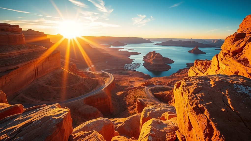
Wahweap Overlook provides a broad elevated view of Lake Powell, surrounding mesas, and desert country near Page. It is a useful stop when you want a big landscape without committing to a long hike.
Bring binoculars if you want to study distant cliffs, boats, or shoreline features. Sunset can be especially attractive as low light adds shape to the surrounding terrain.
The overlook is exposed to sun, wind, and changing weather, so carry water and stay within established access areas. Lake Powell can look very different from year to year as water levels change.
Hanging Garden Trail
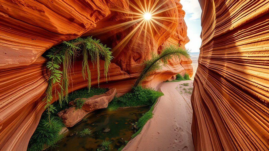
The Hanging Garden Trail leads across open sandstone to a spring-supported plant community tucked beneath an alcove. NPS currently lists the hike as about 1.5 miles round trip and rates it moderate.
Trail Route and Distance
The route begins from a trailhead just east of Glen Canyon Bridge and crosses exposed desert terrain before reaching the shaded hanging garden. Expect sand, slickrock, uneven footing, and little shade on the approach.
- Trail length: about 1.5 miles round trip.
- Difficulty: moderate.
- Terrain: sand, slickrock, and uneven desert trail.
- Best strategy: hike early or late during hot weather.
Wear sturdy footwear and carry water even though the distance is short.
Seasonal Water Flow
The hanging garden exists because groundwater seeps through sandstone and supports moisture-loving plants in an otherwise dry landscape. Its appearance varies with weather and seasonal conditions, but it should not be treated as a swimming hole or stream destination.
| Condition | What You May Notice | Visitor Response |
|---|---|---|
| Cooler/moister period | Greener vegetation | Stay on the established route |
| Hot/dry period | More exposed, dry approach | Carry extra water |
| Stormy weather | Wet or slick rock | Reconsider the hike |
Safety and Access Tips
The main hazards are desert heat, exposed terrain, slick rock when wet, and poor footing. Protect the hanging-garden vegetation by staying on the established route and avoiding contact with delicate plants.
- Check the weather before leaving Page.
- Wear shoes with dependable traction.
- Carry water and sun protection.
- Turn around if weather or footing deteriorates.
Lone Rock Beach
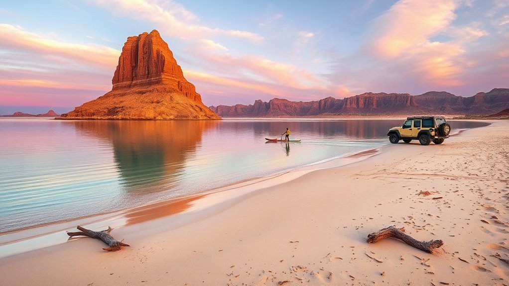
Lone Rock Beach sits on Lake Powell, not directly on the free-flowing Colorado River. Its defining view is the solitary sandstone formation rising beyond the shoreline.
The National Park Service manages Lone Rock as a primitive day-use and camping area. Entrance and camping fees apply, and sandy conditions can make vehicle access difficult. There is no guaranteed towing service if you become stuck.
| What You’ll Find | What to Know |
|---|---|
| Lake Powell shoreline | Water level changes the beach |
| Primitive camping | Bring supplies and pack out waste |
Do not assume that a campfire is permitted. Fire restrictions can change rapidly in the Southwest, so check current rules before using any flame.
The NPS also advises visitors to avoid water with visible green scum or suspected harmful algal blooms. Wear foot protection because hot sand, glass, and sharp quagga mussel shells can cause injuries.
Navajo Village Heritage Center and Navajo-Led Cultural Experiences
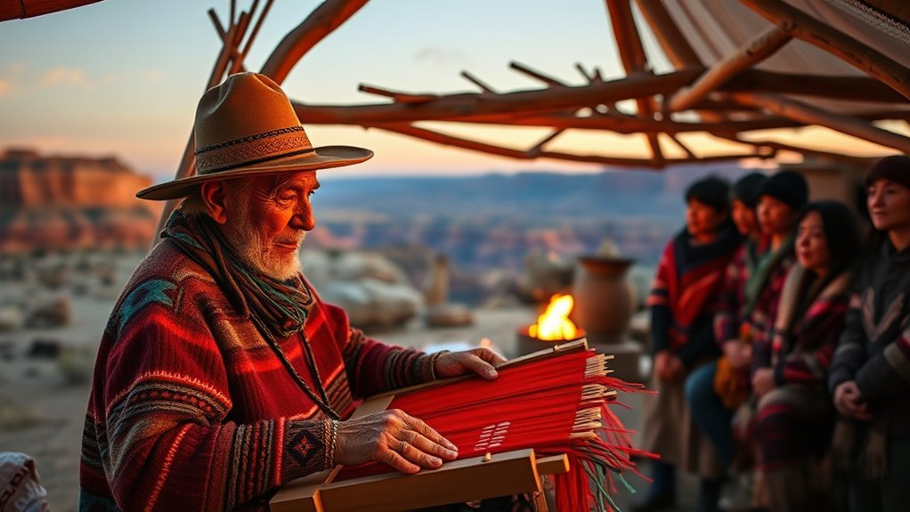
The Navajo Village Heritage Center has long appeared in Page travel information as a place to learn about Navajo homes, weaving, storytelling, and cultural traditions. However, current official operating information is limited, so do not build a fixed 2026 itinerary around an unconfirmed schedule.
For cultural experiences around Page, prioritize Navajo-owned and Navajo-led programs that clearly publish their current schedules and visitor expectations.
A currently verifiable Navajo-owned option in Page is Red Heritage, which presents Native American food, music, dance, and cultural programming.
- Choose Navajo-owned or Navajo-led experiences where possible.
- Listen to guides rather than treating cultural sites as photo props.
- Ask permission before photographing people or ceremonies.
- Purchase arts directly from legitimate Native artists when possible.
A respectful cultural stop can add context to the landscapes you see throughout the Page and Navajo Nation region.
Page Rim View Trail
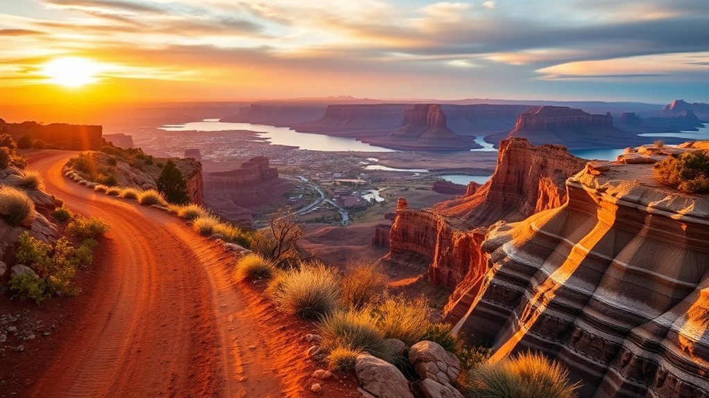
The Page Rim View Trail, also known as the Page Rim Trail or Page Loop, circles Manson Mesa around the city. The complete route is roughly 10 miles, making it a substantially longer outing than a casual viewpoint stroll.
Scenic Rim Walk
You do not have to hike the full loop. Several access points make shorter out-and-back walks possible, which is often the better choice if you are also visiting Antelope Canyon or Horseshoe Bend the same day.
- Pick a trail access point near the view you want.
- Start early during warm months.
- Carry enough water for an exposed desert route.
- Stay aware of drop-offs and give cyclists room to pass.
Sunset / Sunrise Views
Sunrise gives cooler temperatures and softer early light, while sunset adds warm color to surrounding mesas. If you hike near darkness, carry a headlamp and know your return route before the light disappears.
| Best time | Experience |
|---|---|
| Sunrise | Cooler air and softer light |
| Sunset | Warm tones and longer shadows |
Lees Ferry and the Colorado River
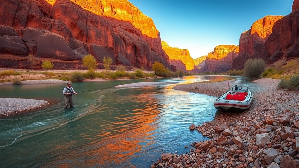
Lees Ferry, about 45 miles southwest of Page via US 89 and US 89A, combines river recreation with an important historic Colorado River crossing. It is also the launch point for many Grand Canyon river trips.
The cold water between Glen Canyon Dam and Lees Ferry supports a nationally known recreational rainbow trout fishery. Fishing rules are specific to different stretches of river, so review current NPS fishing regulations before casting.
You’ll find activities ranging from quiet history to river adventure:
- Join an authorized river or backhaul service.
- Fish for trout under current Arizona and NPS regulations.
- Walk the historic district and nearby Lonely Dell Ranch.
- Watch multi-day Grand Canyon river expeditions launch downstream.
Lees Ferry is a good half-day or full-day addition if you want to see the Colorado River at water level rather than only from an overlook.
Slot Canyon Hiking Near Page
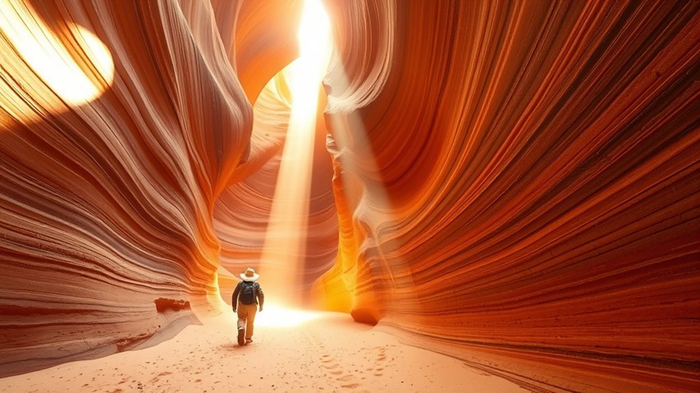
Page is surrounded by slot-canyon country, but access rules vary dramatically. Some canyons are on Navajo Nation land and require authorized guides, while others are on BLM or NPS land and may involve permits, route-finding, or technical hazards.
Do not treat an unnamed slot canyon as an invitation to bushwhack. Confirm land ownership and access requirements before entering. Flash floods can reach a canyon even when the sky directly overhead is clear because storms may occur farther upstream.
| Canyon Type | What to Check |
|---|---|
| Navajo-guided slot | Authorized tour reservation |
| BLM day-use route | Permit and road conditions |
| Technical canyon | Skills, equipment, permits |
| Backcountry route | Navigation and emergency planning |
Wire Pass and North Wash: Two Different Areas
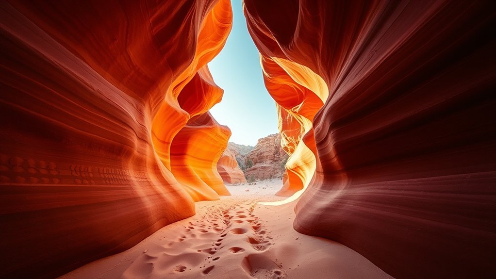
Wire Pass is a popular BLM-managed route leading toward Buckskin Gulch in the Paria Canyon-Vermilion Cliffs area. North Wash is a different Utah destination and should not be treated as the continuation of the same hike.
Wire Pass Slot Overview
Wire Pass begins from House Rock Valley Road and leads through desert wash toward a short slot before joining the much larger Buckskin Gulch system. The route provides a strong slot-canyon experience without entering Navajo-guided Antelope Canyon.
- Arrival: check House Rock Valley Road conditions before driving in.
- Permit: obtain the required Wire Pass/Buckskin Gulch day-use authorization.
- Weather: avoid the route when flash flooding is possible.
- Turnaround: choose a distance that leaves ample time, water, and daylight for your return.
North Wash Is Not Part of the Wire Pass Hike
North Wash is in a different part of southern Utah and is not a logical add-on to a Page-to-Wire-Pass outing. If Page is your base, focus on Wire Pass, Buckskin Gulch, or another destination along the US 89 corridor rather than combining unrelated areas because their names appeared together in an older itinerary.
Wherever you hike, carry offline navigation, sufficient water, sun protection, and a headlamp. Do not rely on cell service for route-finding or emergencies.
Permits and Safety Notes
The BLM Wire Pass day-use permit is valid for the designated day-use area from sunrise to sunset. It does not authorize Coyote Buttes North, Coyote Buttes South, or an overnight Paria Canyon trip.
- Buy the correct permit for the exact route you intend to use.
- Check weather and flash-flood risk before leaving the highway.
- Check House Rock Valley Road conditions after rain.
- Pack out all trash and never carve or damage sandstone.
Powell Museum & Archives: Current Status
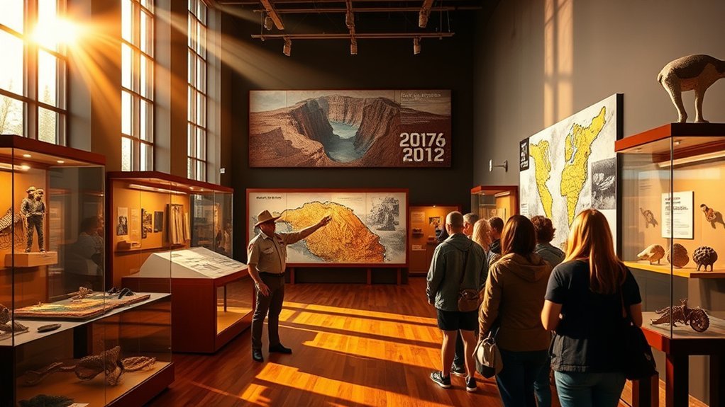
The former Powell Museum & Archives documented Page, Glen Canyon, John Wesley Powell, geology, paleontology, archaeology, and regional cultural history. It is important, however, to use current information rather than assuming the museum operates as it once did.
Glen Canyon Conservancy has announced the closure and sale of the museum building at 6 North Lake Powell Boulevard. Its Glen Canyon Archives and digital collections continue to preserve material, and the organization has discussed returning selected exhibits to its Flagship location.
For an indoor educational stop that is currently easier to plan around, use the Carl Hayden Visitor Center near Glen Canyon Dam and check Glen Canyon Conservancy for any current exhibits or visitor services in Page.
Alstrom Point Overlook
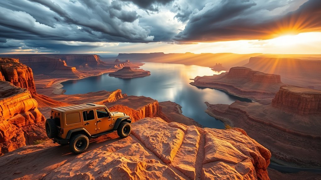
Alstrom Point provides one of the broadest elevated views across Lake Powell, but reaching it is a backcountry drive rather than a quick roadside stop.
The National Park Service recommends high clearance and says four-wheel drive is necessary for the final miles. Wet weather can make the road impassable even to capable vehicles.
- Drive: allow at least two hours each way from the developed road network.
- Timing: do not attempt the rough route for the first time after dark.
- Safety: carry water, offline maps, emergency supplies, and a trip plan.
- Photography: sunrise and sunset are excellent, but only if your travel plan remains safe.
There are no developed facilities at the overlook, cell service is unreliable, and cliff edges are unprotected.
Antelope Island State Park: Not a Local Page Day Trip
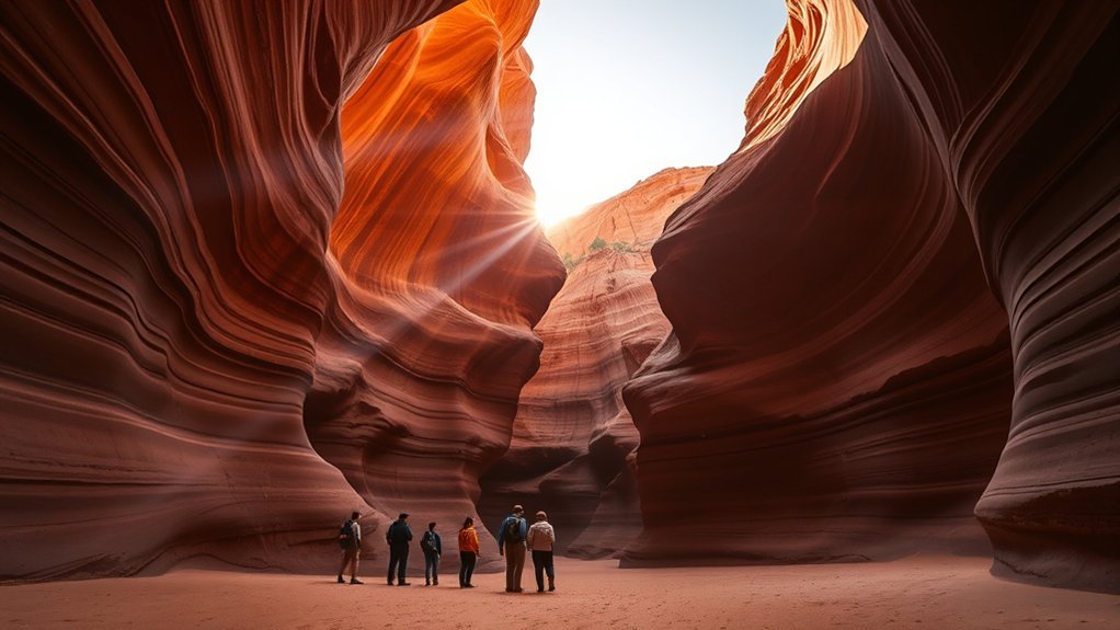
Antelope Island State Park is worth visiting on a broader Utah road trip, but it should not be described as a local Page attraction. The park sits in the Great Salt Lake and is approximately 41 miles north of Salt Lake City, according to Utah State Parks.
If your larger trip takes you toward Salt Lake City, Antelope Island offers bison, pronghorn, shoreline scenery, hiking, Fielding Garr Ranch, and views from trails such as Frary Peak. From Page, however, spend your limited sightseeing time on much closer destinations such as Lees Ferry, Vermilion Cliffs, Wire Pass, or Glen Canyon.
If you do visit Antelope Island during a separate Utah leg, give wildlife generous space and never approach bison for a photograph.
Horseback Riding Tours in the Desert
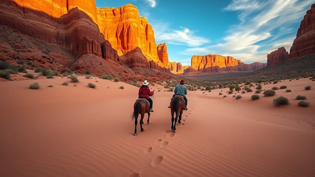
A guided horseback ride can slow the pace and give you a different view of desert terrain around the wider Page region. Availability changes by season and land jurisdiction, so confirm exactly where a tour operates and whether its operator has the authorization required for that land.
Horseback riding works best as a slower landscape experience, not as a substitute for restricted canyon access.
- Choose a ride length that matches your experience.
- Wear closed-toe footwear and sun protection.
- Ask about minimum ages, weight limits, and riding experience requirements.
- Confirm the operator’s meeting point and land-use authorization before booking.
Scenic Flights Over Page and Lake Powell
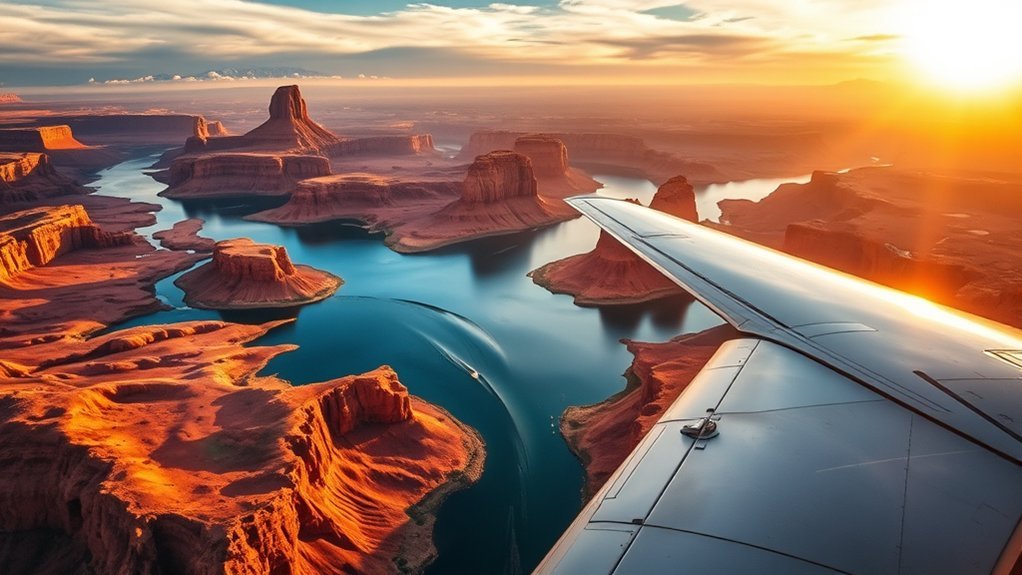
A scenic flight from the Page area reveals the scale of Lake Powell, Glen Canyon, surrounding mesas, and the Colorado Plateau in a way ground-level viewpoints cannot.
Routes vary by aircraft, weather, airspace, and operator, so compare the actual flight path rather than booking only by duration. Morning flights can offer calmer conditions and lower sun angles, while later trips may produce warmer colors.
| Flight Type | Typical Advantage |
|---|---|
| Helicopter | Excellent downward visibility |
| Fixed-wing | Covers a larger area efficiently |
| Morning departure | Often softer light |
| Photography-focused option | Ask specifically about windows and seating |
Book with a properly licensed operator and expect weather to affect routes or departure times.
Kayaking and Stand-Up Paddleboarding on Lake Powell
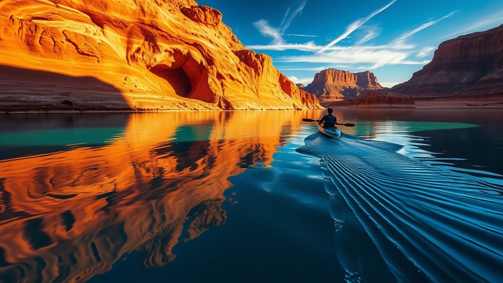
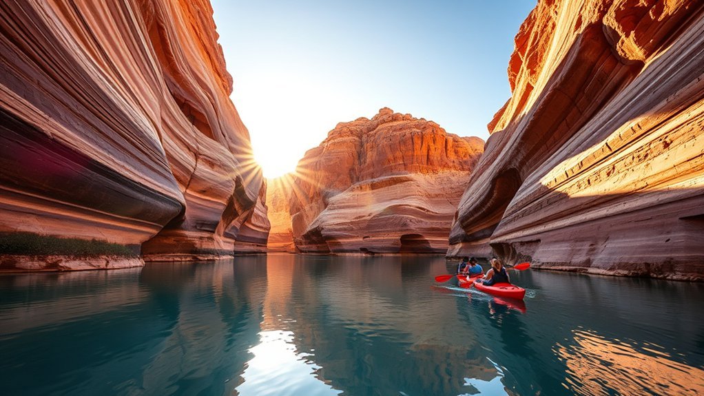
Kayaking and stand-up paddleboarding let you explore Lake Powell quietly and at a scale that works well for coves and narrower waterways. Rentals and authorized guided services operate in the Page/Lake Powell area, but launch access depends on current reservoir conditions.
Paddlecraft turn Lake Powell’s huge landscape into a slower experience where you can study individual cliffs, coves, and reflections.
- Half-day rental for a shorter introduction.
- Authorized guided paddle for route knowledge and local context.
- Full-day outing only if you are prepared for wind, heat, distance, and self-rescue.
- Sunset paddle only with a clear return plan and appropriate lighting.
Wear a properly fitted personal flotation device, secure drinking water in the boat, protect electronics in a dry bag, and watch wind forecasts carefully. Desert winds can turn an easy outbound paddle into a difficult return.
Note: Lake Powell currently has a recreational water advisory. Avoid water with visible algal scum, do not ingest lake water, and wash after swimming or paddling.
Sunset Photography at Glen Canyon Dam Overlook
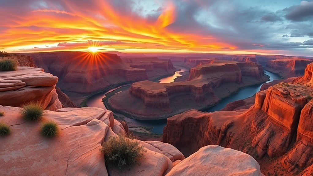
The Dam Overlook near Page gives you a short route to views of Glen Canyon Dam and the Colorado River. The NPS lists the round-trip walk at about 940 feet, but the path includes steep, uneven rocky steps and partially protected cliff edges.
For sunset photographs, arrive early enough to walk the route in daylight. A wide lens captures the canyon setting, while a telephoto can isolate river bends, cliffs, or sections of the dam.
Bracket exposures when bright sandstone and deep canyon shadow exceed your camera’s dynamic range. Bring a headlamp for the climb back and avoid setting a tripod where it blocks other visitors or sits close to an exposed drop.
Stargazing and Night Sky Photography
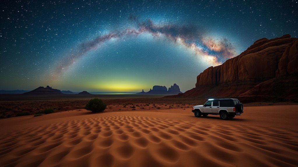
The dark desert surrounding Page can provide excellent night-sky viewing once you move away from city lights. Lake Powell shorelines, established overlooks, and legal backcountry camps can provide strong foregrounds when conditions are clear.
- Scout your location in daylight and make sure nighttime access is permitted.
- For Milky Way photography, start with a wide aperture and a shutter speed short enough to keep stars from noticeably trailing.
- Use a dim red headlamp around other stargazers.
- Carry warm layers, spare batteries, water, and offline navigation.
Do not enter closed day-use areas after hours simply because they look good for astrophotography. Rainbow Bridge National Monument, for example, is closed from sunset to sunrise.
Sources
- National Park Service — Horseshoe Bend — trail distance, exposed rim, heat safety, and visitor logistics.
- Navajo Nation Parks & Recreation — Lake Powell / Antelope Canyon — guided-tour requirements, Antelope Canyon rules, and Navajo Nation access information.
- National Park Service — Changing Lake Levels — current Lake Powell launch and Rainbow Bridge access conditions.
- National Park Service — Rainbow Bridge National Monument — access, distance, dock conditions, hiking, and day-use restrictions.
- National Park Service — Glen Canyon Day Hikes — Hanging Garden, Horseshoe Bend, Dam Overlook, and regional trail information.
- Bureau of Land Management — Wire Pass Day Use — permits, day-use restrictions, and Paria Canyon access.
Frequently Asked Questions
Where can I find groceries and supplies in Page?
Page has full grocery and general-merchandise options, including Safeway and Walmart, plus convenience stores and outdoor-oriented businesses. Stock up on water, food, sun protection, and basic supplies before driving to remote trailheads or Lake Powell access points.
What are the pet rules around Page?
Rules depend on jurisdiction. Leashed pets are allowed in many parts of Glen Canyon National Recreation Area, but dogs are prohibited at Navajo Tribal Park locations including Antelope Canyon. Confirm accommodation fees and pet policies separately before booking.
How is cell-phone coverage around Page?
Service is generally easiest to find in Page and around developed areas, but coverage can disappear quickly in canyons, on remote roads, and around backcountry trailheads. Download maps, reservations, permits, and driving directions for offline use before leaving town.
Where can I buy gasoline near the main attractions?
Page has several fuel stations along and near US 89, Lake Powell Boulevard, and AZ 98. Fill up before long backcountry drives such as Alstrom Point or remote Vermilion Cliffs routes, where fuel and roadside services may be unavailable.
What medical facilities and emergency services are available in Page?
Call 911 for an emergency. Banner Page Hospital Emergency Room, 501 N Navajo Drive, provides 24-hour emergency care and can be reached at 928-645-2424.
Do I need a permit for Antelope Canyon?
You cannot independently enter Upper or Lower Antelope Canyon. Book with an authorized Navajo tour operator. Your operator handles the guided visit and applicable visitor fees according to current Navajo Nation requirements.
Is Upper or Lower Antelope Canyon better?
Upper Antelope generally suits visitors who prefer a wider canyon floor and less stair climbing. Lower Antelope is narrower and includes more stairs and elevation changes. Both provide dramatic sandstone scenery, so choose primarily by mobility, tour availability, and the experience you prefer.
Can I visit Rainbow Bridge from Page right now?
Yes, but access is much more involved than a normal roadside attraction. At current lake levels the floating dock does not connect to shore, and boaters may face unstable shoreline conditions before an approximately 1.2-mile walk. Check the latest National Park Service Lake Powell conditions before departing.
Conclusion
Page rewards travelers who combine its famous landmarks with enough time for the wider landscape. Start with Antelope Canyon and Horseshoe Bend, then add Lake Powell, Glen Canyon, Hanging Garden, Lees Ferry, or a carefully planned backcountry outing. Reserve guided attractions early, check current lake and road conditions, respect Navajo Nation rules, and plan around desert heat and flash-flood risk. With those basics handled, Page becomes an excellent base for exploring one of the most distinctive parts of the Colorado Plateau.