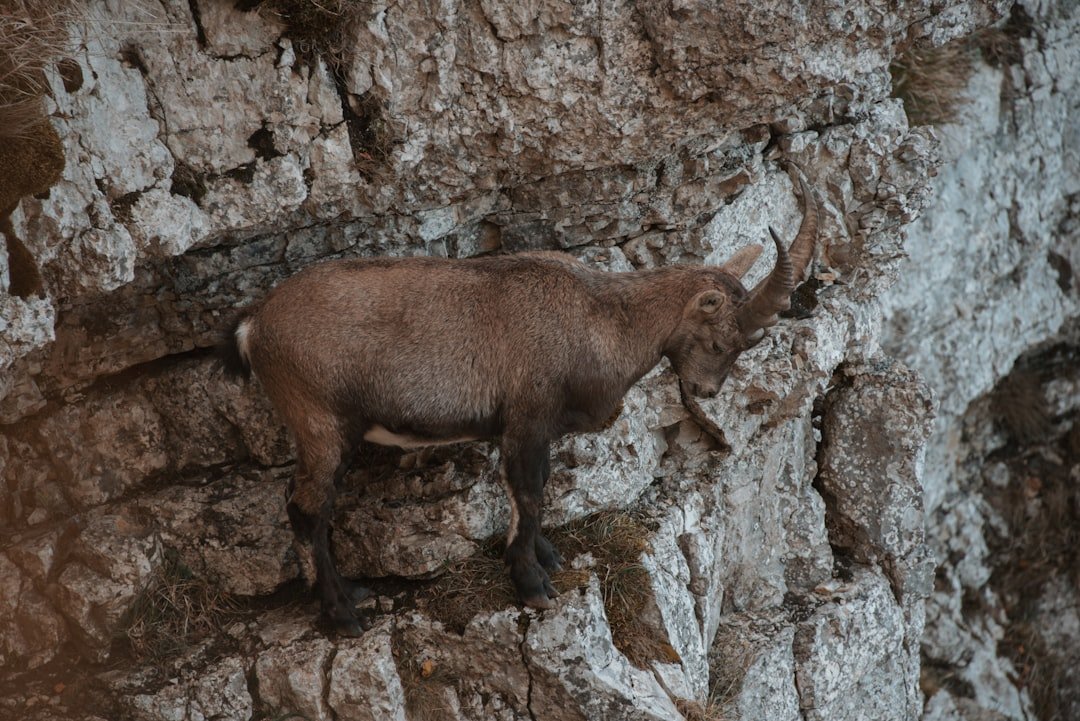
The Saxer Lücke hike is one of the classic mountain walks in Switzerland’s Alpstein range, known for the jagged Kreuzberge peaks, views across the Rhine Valley, and the dramatic notch of Saxerlücke itself. The most useful route for first-time visitors is the official Geological Hiking Trail from Hoher Kasten through Staubern and Saxerlücke to Bollenwees, followed by the descent to Brülisau.
Quick Answer
For the standard Saxer Lücke hike, travel to Brülisau and take the Hoher Kasten cableway to 1,794 m. Follow the white-red-white mountain trail via Staubern and Saxerlücke to Bollenwees, then descend toward Brülisau. The official route is 16.21 km and takes about 5 hours 30 minutes.
Key Takeaways
- The standard Saxer Lücke route starts at Hoher Kasten above Brülisau, not at Ebenalp.
- The official Geological Hiking Trail is 16.21 km, with about 652 m of ascent and 1,521 m of descent.
- Allow about 5 hours 30 minutes of walking time, plus breaks for photographs, meals and changing conditions.
- It is a white-red-white mountain hiking trail, so you should be fit, sure-footed and comfortable on steep or partly exposed terrain.
- Check the current trail status, mountain weather and cableway timetable immediately before leaving.
At a Glance
| Time Required | About 5 hours 30 minutes of hiking, plus breaks |
| Difficulty | Moderate mountain hike, T2; white-red-white markings |
| Distance & Elevation | 16.21 km; +652 m ascent; -1,521 m descent |
| Tools Needed | Hiking boots, weather layers, water, food, sun/rain protection and an offline route map |
| Cost | Hoher Kasten adult one-way cableway fare: CHF 28 as checked August 16, 2026; transport and food are extra, and fares can change |
Getting to Saxer Lücke
The easiest way to follow the official Saxer Lücke route is to begin in Brülisau at the lower station of the Hoher Kasten cableway. The cableway carries hikers to Hoher Kasten at 1,794 m in about eight minutes, saving a long climb before the main ridge walk begins. Check the official Hoher Kasten timetable and fares before travelling because operating hours change during the season.
If you are using public transport, travel toward Appenzell and Weissbad. According to Hoher Kasten, Appenzell Railways connects the area with Gossau and St. Gallen, and a PostBus runs from Weissbad station to the lower cableway station in Brülisau. Use the official arrival information for the current connection.
If you drive, follow the road from Appenzell toward Brülisau. Parking is available around the Hoher Kasten lower station, although spaces can fill on busy days. Parking rules and payment methods can change, so check the official arrival page before your visit.
Note: Ebenalp and Wasserauen are popular Alpstein destinations, but Ebenalp is not the normal starting point for the official Hoher Kasten-Saxerlücke-Bollenwees route described here.
What to Expect on the Hike
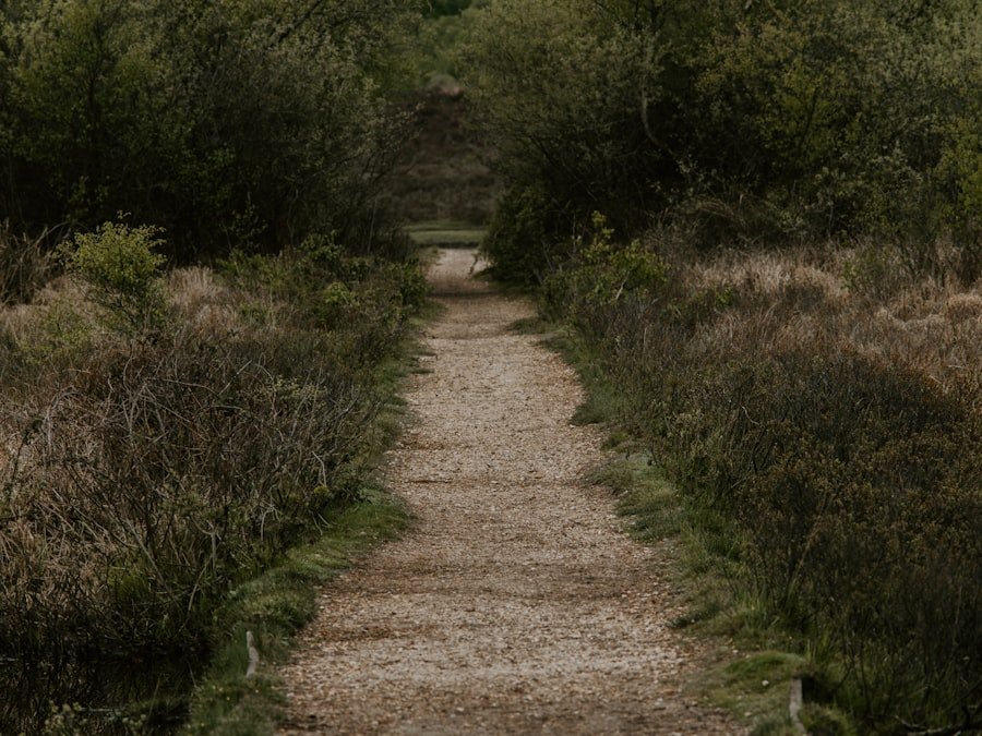
The route begins high at Hoher Kasten, so the mountain scenery arrives almost immediately. Instead of climbing continuously from the valley, you spend much of the first part of the day traversing the southern Alpstein ridge toward Staubern and Saxerlücke.
The official Geological Hiking Trail is marked white-red-white. These markings identify a mountain hiking route rather than an ordinary yellow walking trail. Sections can be steep, narrow or exposed, and wet grass, loose rock or remaining snow can make the terrain more difficult.
Stage 1: Hoher Kasten to Staubern
From Hoher Kasten, follow signs for Staubern and Saxerlücke. The ridge gives wide views toward the Rhine Valley and across the layered Alpstein landscape. The geological trail also explains how folding, faults and erosion formed the mountains.
Stage 2: Staubern to Saxerlücke
Beyond Staubern, the route continues along the mountain ridge toward the distinctive Kreuzberge formations. Saxerlücke is the narrow pass that creates the famous framed view between steep limestone peaks. On a clear day, the landscape stretches far beyond the immediate Alpstein range.
Stay on the marked trail even when searching for a photograph. The terrain beside the path can be much steeper than photographs suggest.
Stage 3: Saxerlücke to Bollenwees and Fählensee
After Saxerlücke, descend toward Bollenwees beside Fählensee. The lake sits between steep mountain walls and provides one of the most attractive rest points on the route. Berggasthaus Bollenwees is one of several seasonal mountain inns associated with the trail.
Stage 4: Return to Brülisau
The official route continues from Bollenwees toward Sämtisersee, Plattenbödeli and Pfannenstiel before returning to Brülisau. Appenzellerland Tourism also describes an alternative descent via Rainhütten and Berggasthaus Ruhesitz. Follow current signs and route information rather than relying only on an old screenshot or social-media map.
The official Geological Hiking Trail covers 16.21 km with 652 m of climbing and 1,521 m of descent, so the long downhill section deserves as much respect as the climbs.
Tips for Hiking Saxer Lücke
| Route | Difficulty | Distance | Elevation | Walking Time |
|---|---|---|---|---|
| Hoher Kasten-Saxerlücke-Brülisau | Moderate, T2 mountain trail | 16.21 km / 10.1 mi | +652 m / -1,521 m | About 5 h 30 min |
Preparation matters because mountain conditions can change quickly even when the valley forecast looks mild. Check the weather, the live trail status and cableway operations on the morning of your hike.
Wear Proper Hiking Shoes
Use hiking shoes or boots with a firm, grippy sole. The official guidance for white-red-white mountain trails recommends good trekking footwear and sure-footedness. Ordinary smooth-soled city shoes are a poor choice for wet grass, rocky descents and loose surfaces.
Dress for Rapid Weather Changes
Carry layers that protect you from sun, wind, rain and colder temperatures. A warm layer and waterproof shell can be useful even when the day begins sunny in Appenzell.
Carry Water and Food
Mountain inns such as Staubern, Bollenwees and Plattenbödeli can provide useful stops when they are open, but you should not depend on a restaurant being available. Carry enough water and food to finish the route independently.
Download the Route Before Leaving
Save an offline map or GPX route before entering the mountains. The Geological Hiking Trail is also SwitzerlandMobility local route 988. The SwitzerlandMobility route page is a useful official planning reference.
Pro Tip: Take the Hoher Kasten cableway early enough that you have a generous daylight margin. The published 5.5-hour figure is walking time and does not include long photo stops, meals or delays caused by weather.
Best Time to Hike Saxer Lücke
Hoher Kasten lists the Geological Hiking Trail season as approximately late June through October. Snow can remain on mountain routes early in the season, while fresh snow and ice can return in autumn.
As of August 16, 2026, Appenzellerland Tourism reported the region’s mountain and hiking trails as snow-free and in good condition. That status is only a snapshot. Always check the latest official trail-condition notice before leaving.
For the most comfortable experience, choose a stable-weather day with good visibility and start early. Fog can hide both the scenery and terrain, while thunderstorms can make an exposed ridge an unsuitable place to be.
Safety Precautions
The Saxer Lücke route is a mountain hike, not a paved sightseeing path. Hoher Kasten’s trail guidance explains that white-red-white routes may be steep, narrow and partly exposed. Hikers should be sure-footed, in suitable physical condition and aware of slipping, falling rocks and sudden weather changes.
Warning: Do not continue onto exposed mountain terrain during thunderstorms, dense fog, heavy rain, snow or conditions that exceed your experience. Turning around early is safer than trying to force the itinerary.
Stay on officially marked trails and tell someone where you are going if hiking alone. A charged phone and offline map are useful backups, but neither replaces route awareness.
Pay particular attention during the long descent. Fatigue can reduce balance and concentration late in the day, especially on steep or wet ground. Trekking poles may help some hikers manage the descent, but they do not replace secure footing.
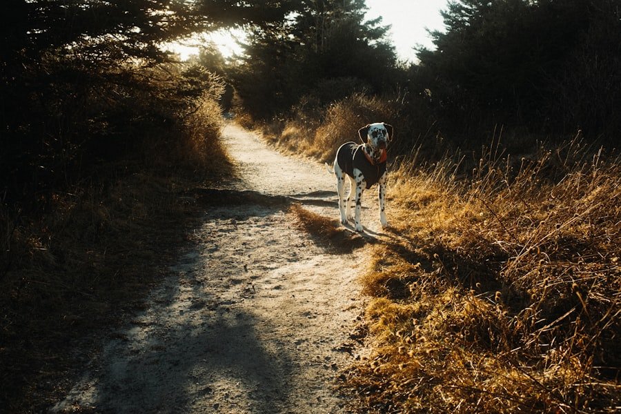
If you encounter cattle, move calmly and give the animals space. Hoher Kasten advises keeping dogs on a leash around grazing livestock and passing herds at a safe distance.
Is the Saxer Lücke Hike Suitable for Beginners?
A fit beginner who already has experience on mountain paths may find the route manageable in good conditions, but it should not be described as suitable for everyone. The full route is long, includes substantial descent, and uses white-red-white mountain paths.
If you are uncomfortable with heights, have poor balance, are wearing unsuitable shoes, or have no mountain-hiking experience, choose an easier Alpstein walk first or hike with an experienced companion.
Wildlife and Flora
The changing altitude and rocky limestone landscape support alpine meadows, mountain flowers and hardy plants adapted to short growing seasons. Marmots and other alpine wildlife may also be seen in the broader Alpstein area, although wildlife sightings can never be guaranteed.
Watch animals from a distance, do not feed them and avoid leaving the marked trail to approach or photograph them. Pack out everything you carry in.
Drones in the Alpstein
Do not assume you can launch a drone at Saxerlücke for aerial photographs. Appenzellerland Tourism states that a cantonal prohibition on drones and other unmanned aircraft has applied within the designated Alpstein perimeter since November 1, 2020, primarily to protect wildlife. Check the official Alpstein drone information before bringing one.
Nearby Attractions
Hoher Kasten
Because the hike begins at Hoher Kasten, allow a little time for the summit panorama before starting. The summit stands at 1,794 m and includes a circular panoramic walkway and revolving restaurant.
Fählensee and Bollenwees
Fählensee is not merely a nearby attraction; it is part of the standard hiking day. The lake lies below Saxerlücke beside Berggasthaus Bollenwees and makes a natural place for a longer break before the valley descent.
Sämtisersee
The return route passes another Alpstein lake, Sämtisersee, before continuing toward Plattenbödeli and Brülisau.
Appenzell Village
After the hike, Appenzell is a convenient place for a meal or a walk through the historic village center. Its painted buildings, local shops and Appenzell traditions make it a worthwhile addition to a hiking day or overnight stay.
Aescher and Ebenalp
Berggasthaus Aescher is a famous cliff-side mountain inn, but it is near Ebenalp rather than directly on the Saxer Lücke route. If you want to visit it, treat Ebenalp, Wildkirchli and Aescher as a separate excursion. From the Ebenalp upper station, Aescher can be reached on foot through the Wildkirchli area. See the official Aescher information for current access details.
Conclusion and Recommendations
The Saxer Lücke hike is best approached as a full mountain day rather than a short viewpoint walk. Starting with the Hoher Kasten cableway gives you immediate access to the ridge, after which the trail leads through Staubern and Saxerlücke to Bollenwees, Fählensee and the long descent toward Brülisau.
The scenery is a major reason to hike here, but good preparation matters just as much. Wear proper footwear, carry weather protection and enough food and water, download the route, and check trail and cableway conditions before leaving. If the weather deteriorates or the terrain feels beyond your experience, choose a shorter alternative rather than pushing ahead.
Frequently Asked Questions
What is the Saxer Lücke hike?
Saxerlücke is a mountain pass and viewpoint in the Alpstein range of eastern Switzerland. A popular way to visit it is the official Geological Hiking Trail from Hoher Kasten via Staubern and Saxerlücke to Bollenwees, followed by the descent to Brülisau.
How do I get to the Saxer Lücke hike?
For the standard route, travel to Brülisau and take the Hoher Kasten cableway to the upper station. By public transport, you can travel through Appenzell and Weissbad and continue by PostBus to the Hoher Kasten lower station.
Does the Saxer Lücke hike start at Ebenalp?
Not the standard Geological Hiking Trail described here. That route starts at Hoher Kasten. Ebenalp is another major Alpstein hiking area and is the usual cableway access for Wildkirchli and Berggasthaus Aescher.
How long is the Saxer Lücke hike?
The official Hoher Kasten to Brülisau Geological Hiking Trail is 16.21 km long. The published hiking time is about 5 hours 30 minutes, excluding long breaks.
Is the Saxer Lücke hike suitable for beginners?
It is not an all-level walking trail. The route is classified as a moderate T2 mountain hike and uses white-red-white paths. You should have adequate fitness, secure footing and confidence on steep or partly exposed mountain terrain.
What should I bring on the Saxer Lücke hike?
Bring sturdy hiking footwear, sufficient water and food, sun protection, rain protection, a warm layer, a charged phone and an offline map. Trekking poles can also help on the long descent.
Are there facilities along the Saxer Lücke route?
Yes. Mountain inns are located at or near Hoher Kasten, Staubern, Bollenwees and Plattenbödeli. Opening days are seasonal and weather-dependent, so carry enough food and water even if you intend to stop at an inn.
When is the best time to hike Saxer Lücke?
The Geological Hiking Trail is generally promoted for late June through October, but usable dates vary with snow and weather. Check live trail conditions and cableway operations before every trip.
Can I hike Saxer Lücke with a dog?
Dogs may encounter grazing livestock along Alpstein routes. Keep your dog under close control and on a leash around cattle, give herds plenty of space, and follow current local signs and cableway rules.
Sources
- Appenzellerland Tourism: Geological Hiking Trail — official route, distance, elevation, duration, difficulty and waypoints.
- Hoher Kasten: Geological Hiking Trail — trail season, marking, difficulty and route description.
- Hoher Kasten: Trail Conditions and Hiking Safety — mountain-trail requirements, equipment and safety guidance.
- Hoher Kasten Cableway — current cableway timetable and fares.
- SwitzerlandMobility Route 988 — official route mapping and planning reference.
- Appenzellerland Tourism: Alpstein Drone Rules — current regional drone restrictions.