The same desert road can feel welcoming at dawn and punishing by noon. Go in with a clear plan. This guide covers heat strategy, vehicle backup plans, and navigation when signal drops. You’ll also get route ideas, from day trips to multi-day loops. Use it as a checklist and safety guide, and pick where — and when — to head next.
Key takeaways
- Start early, take shade breaks, and treat water + electrolytes as non-negotiable.
- Prep your vehicle like a safety tool: tires, fluids, spare, and a real roadside kit.
- Use navigation backups (offline maps + paper map) and a simple check-in plan.
- Follow site rules (parks, tribal lands, drones, camping) and Leave No Trace.
Preparing for Arizona’s Climate and Terrain
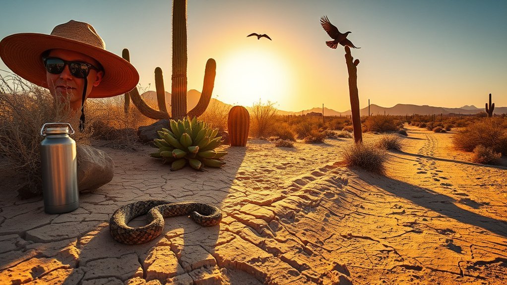
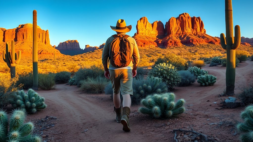
Arizona can swing from blistering sun to cold nights in the same day. Pack layers you can add or remove fast. Choose moisture-wicking fabrics that breathe. Bring a wide-brim hat, sun shirt, and sturdy boots that handle sand and slickrock. Carry more water than you expect to need, and drink steadily. Add electrolyte packets, sunscreen, and a light wind shell. If you go higher (Flagstaff, Mogollon Rim, Mount Lemmon), take the first day slow so your body can adjust. In winter, high elevations can be icy. During monsoon storms, desert washes can flood fast—avoid narrow slots and never drive through moving water.
Safety Essentials for Solo Road Trips
Before you drive long stretches, run a short vehicle prep checklist—tires, fluids, spare, and a stocked roadside kit. Set an emergency communication plan with power banks, a car charger, and check-in times with someone who knows your route.
Vehicle Prep Checklist
Your car is part of your safety plan. Check tire pressure and tread, including the spare. Top off fluids, and inspect belts, hoses, and the battery. Pack basics: jumper cables, a compact air pump, a simple tool kit, and extra coolant and oil. Add a first-aid kit, reflective triangles, and a flashlight. Carry extra water and a warm layer, even in warm months. Keep maps and a charger where you can reach them quickly.
Emergency Communication Plan
In remote areas, cell service can disappear. Write down key numbers and keep them in your pack and glove box. Share a simple itinerary (start, stops, end point) with a trusted person. Set check-ins you will actually keep. Bring extra power: a charged power bank and a car charger. For true no-service areas, consider a satellite messenger or a phone’s satellite emergency feature, and practice using it before your trip. Know how to share your location using mile markers, GPS coordinates, or a clear landmark.
Navigation, Communication, and Emergency Planning
Use offline navigation as your default. Download maps ahead of time, and save key pins (trailhead, gas, water, hospital). Carry a paper map for the region and a basic compass. If you have a dedicated GPS, learn it before you need it. For communication, assume standard calls and messages won’t work in dead zones. Build a backup plan around check-ins, a conservative turnaround time, and a clear “bailout” route to the nearest main road or ranger station.
Packing Checklist: Gear and Supplies
Think of your kit as a compact basecamp. Each item should earn its space. Pack layered clothing, a hat, sun protection, and sturdy footwear. Carry enough water plus a backup way to get more (filter or purification). Bring two light sources, a small first-aid kit, a multi-tool, and an emergency blanket. Keep food high-energy and nonperishable. Store essentials in waterproof pouches. Put heavy items low and close to your back.
Day Trip Routes From Phoenix and Tucson
From Phoenix, you can reach Sedona, lakes, and desert trailheads in a single day. From Tucson, you can pair saguaro desert with cooler mountain air on Mount Lemmon. Choose routes with easy turnarounds, regular pullouts, and reliable water stops. Start early to avoid peak heat.
Phoenix Day-Trip Escapes
Leave before dawn for quick hikes at South Mountain or Lost Dutchman State Park. Want red rocks? Drive to Sedona for short loops with big views. For cooler water breezes, try the Salt River or Lake Pleasant. Prefer city time between trails? Roosevelt Row galleries and coffee shops are an easy reset before you head back.
Tucson Nearby Adventures
Tucson makes it easy to stack contrasts in one day. Start with a drive or short hike in Saguaro National Park. Then swing through downtown for murals, mercados, and Sonoran food. If you want cooler temps, take the Catalina Highway toward Mount Lemmon for pine air and wide views. Choose stops that let you stay flexible and turn around early if heat or weather shifts.
| Route | Highlight |
|---|---|
| Saguaro loop | Classic saguaros, easy hikes |
| Downtown Tucson | Art, food, culture |
| Mount Lemmon drive | Elevation, vistas |
| Mission Trail | History, quiet ruins |
Safety-Minded Route Choices
When you travel solo, pick routes with clear exits. Favor paved roads over long washboard stretches unless you have a full-size spare and a plan for flats. Use pullouts often to rest and reassess. Check road and weather updates, and leave your plan with someone. Time your drive for morning and late afternoon, and watch for wildlife at dawn and dusk. If a road feels too isolated for your comfort, reroute to a busier corridor.
Multi-Day Loop Itineraries and Overnight Stays
Multi-day loops help you see more without complicated logistics. Balance drive time with daylight, fuel, and food resupply. Common loop anchors include Sedona, Flagstaff, the Grand Canyon area, and Tucson’s sky islands. Mix one night in town (for rest and laundry) with a night of camping if that’s your style. Pick legal camping areas, and know if permits are required. Plan conservative days so you can detour or stop early if weather changes.
| Loop Type | Typical Pace | Overnight Option |
|---|---|---|
| Desert rim | Short driving days | Dispersed camping |
| Canyon traverse | Flexible | Backcountry camp (permit as required) |
| Mountain loop | Moderate | Cabin or campsite |
| River corridor | Flexible | Riverside camp (where allowed) |
Respectful Travel: Cultural Sites, Wildlife, and Leave No Trace
Arizona’s landscapes include sacred places and fragile ecosystems. Treat ruins, petroglyphs, and cultural sites with respect: follow signs and stay on durable surfaces. Ask permission before photographing people or ceremonies. Pack out all trash, and don’t mark rocks. For wildlife, keep distance, secure food, and never feed animals. Travel lightly so these places stay wild for the next visitor.
Frequently Asked Questions
Are There Pet-Friendly Lodging Options Along These Routes?
Yes — you’ll find pet-friendly lodging along major routes and in most gateway towns. Look for clear pet policies, easy outdoor access, and nearby walks so travel stays simple for both of you.
How Safe Is Solo Night Hiking in Arizona Deserts?
Night hiking can be beautiful, but it raises risk. It’s easier to miss a turn, and help can take longer to reach you. If you go, stick to familiar trails, bring two light sources (headlamp plus a backup), carry extra water, and tell someone your route and return time. When in doubt, choose sunrise instead for cooler temps and better visibility.
Do I Need a Special Permit for Drone Photography?
Sometimes. Even for casual flights, you still have to follow FAA rules (including registration requirements for many drones, the recreational safety test, and Remote ID where applicable). On top of that, land managers can add stricter rules. For example, drones are generally prohibited from launching, landing, or operating within U.S. national park boundaries unless a park issues a specific authorization.
Start with the official guidance for FAA drone registration and requirements, then confirm site-specific rules—especially for national parks—via National Park Service drone restrictions.
What Cell Service Apps Work Offline in Remote Areas?
Use offline maps from Google Maps or Apple Maps, plus apps like Gaia GPS, OsmAnd, or Avenza for topo and trail navigation. For messaging, assume Signal/WhatsApp and normal texting won’t work without a cellular or Wi-Fi connection. If you need true off-grid communication, consider a satellite messenger or a phone’s satellite emergency features, and practice using it before you leave.
Are There Altitude Sickness Risks on Northern Arizona Trails?
Yes — higher elevations in northern Arizona can trigger altitude illness, especially if you drive up quickly and hike hard right away. Take an easy first day, stay hydrated, and slow down if you develop headache, nausea, or unusual fatigue. If symptoms get worse or you feel short of breath at rest, stop and descend.
Conclusion
You’ve planned well, checked your vehicle, and packed smart—now go. Watch the forecast, start early, and keep your turnaround times realistic. Use offline maps and regular check-ins. Carry extra water, layers, and a basic first-aid kit so a small problem doesn’t become a big one. Respect cultural sites and Leave No Trace, and enjoy the quiet that makes Arizona feel larger than life.