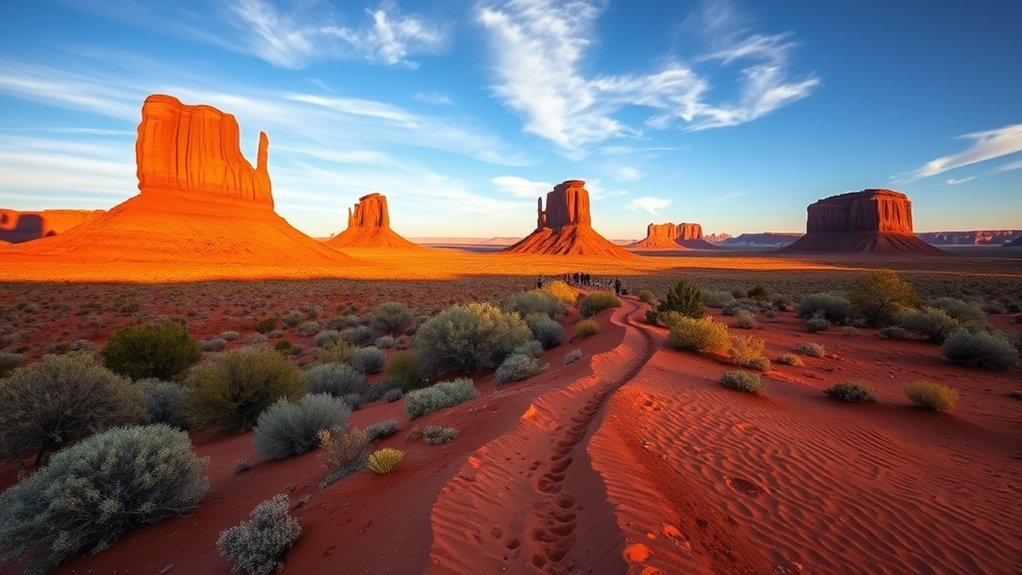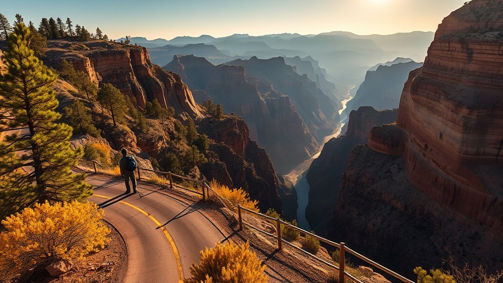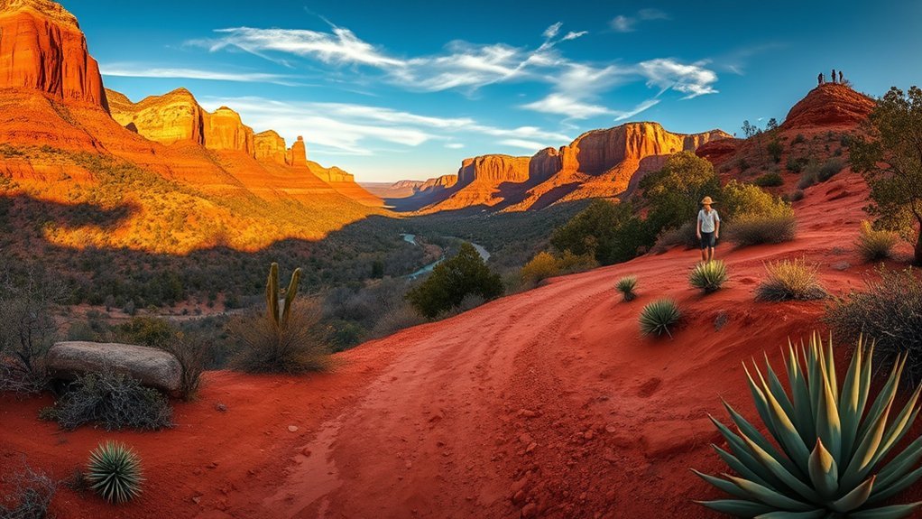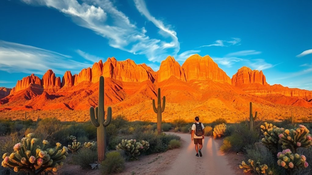
Rising abruptly from the Sonoran Desert east of Phoenix, the Superstition Mountains encompass over 160,000 acres of rugged volcanic peaks, deep slot canyons, and historic lore within the Tonto National Forest. Whether you are tackling the relentless scramble up Siphon Draw to the Flatiron, embarking on a multi-day backpacking trek through the Superstition Wilderness, or cruising the historic Apache Trail, thorough preparation is critical. Desert extremes, volatile weather, sparse water, and complex topography demand respect, but the rewards are some of the most dramatic landscapes in the American Southwest.
Quick Answer
The best time to visit the Superstition Mountains is from November through April, when daytime temperatures range between 60°F and 75°F. Backcountry hiking and dispersed camping in the Superstition Wilderness do not require advance reservation permits, but groups are strictly limited to 15 people. Day-use fees apply at Lost Dutchman State Park and select USFS fee trailheads. Drones are strictly prohibited across the entire federal wilderness area.
Key Takeaways
- Prime Season: Late autumn through early spring offers safe conditions and wildflower blooms; avoid summer day hikes when temperatures regularly exceed 105°F (40°C).
- Permits & Fees: No backcountry permits are needed for wilderness camping, but entry fees apply at Lost Dutchman State Park ($7–$10/vehicle) and Tonto Pass trailheads.
- Water Management: Carry at least 1 gallon (4 liters) of water per person per day. Do not rely on seasonal springs without verifying recent ranger reports.
- Regulations: Unmanned aircraft (drones) are prohibited by federal law in the Superstition Wilderness. Campfires may be banned during seasonal fire restrictions.
Planning Your Visit: Best Times, Fees, and Regulations
Visiting the Superstition Mountains requires aligning your trip with seasonal weather windows and understanding the jurisdictional boundaries between the US Forest Service and Arizona State Parks.
The optimal hiking season runs from November through April. During these months, daytime highs remain mild, and winter rains trigger vibrant displays of desert marigold, Mexican gold poppies, and lupine across canyon floors. From May through September, triple-digit heat creates life-threatening conditions on exposed rock faces, prompting frequent search-and-rescue operations. Start trail outings at dawn to avoid the midday sun and full trailhead parking lots.
Warning: Desert heat kills. Summer temperatures in the Superstition Wilderness frequently exceed 110°F (43°C). Trails offer virtually no shade, and heat exhaustion can develop within minutes. Avoid strenuous hiking between May and September.
Land management and permit rules are straightforward across the region:
- Superstition Wilderness (USFS): No general day-use or overnight permits are required for individuals or small groups. However, the maximum allowable group size is 15 people to preserve wilderness character. Dispersed camping is free throughout the wilderness area.
- Lost Dutchman State Park: Located at the western base of the range, this park charges a daily vehicle access fee ($7–$10). It provides access to popular routes like Siphon Draw and Treasure Loop, along with developed campgrounds featuring potable water, flush toilets, and hookups.
- Tonto Daily Passes: Select USFS boat ramps and developed recreation sites along Canyon Lake and the Salt River require a Tonto Daily Pass or an America the Beautiful Interagency Pass displayed on your windshield.
Getting There and Trailhead Parking Logistics
The Superstition Mountains sit roughly 40 miles east of downtown Phoenix via US-60 East. Major trailheads access different flanks of the wilderness, each with distinct road conditions and parking capacities.
- Peralta Trailhead (South Access): Reached via Peralta Road (Forest Road 77) off US-60. The final 6 miles consist of a graded dirt road suitable for sedans, though it can become washboarded. This lot fills by 7:00 AM on peak winter weekends. Restrooms are available; no trash service (pack it out).
- Lost Dutchman State Park (West Access): Located off State Route 88 (Apache Trail). Paved access leads directly to paved parking lots, water stations, and trailheads for Siphon Draw, Treasure Loop, and Prospector’s View.
- First Water Trailhead (Northwest Access): Accessed via First Water Road off SR 88. A maintained gravel road leads to a large horse and passenger vehicle lot serving the Dutchman’s Trail #58 and Second Water Trail #236.
- Hieroglyphic Trailhead (Southwest Access): Located in Gold Canyon at the end of Kings Ranch Road and Baseline Road. Features a paved and graded parking area that fills rapidly on weekends; street parking in surrounding neighborhoods is strictly prohibited.
Pro Tip: Trailhead parking fills up fast between 7:30 AM and 1:00 PM on Saturdays and Sundays from January to March. Plan to arrive before 7:00 AM or after 2:00 PM for late-afternoon hikes, and carpool whenever possible.
Top Day Hikes and Scenic Drives
From gentle desert loop trails to demanding class-3 slickrock scrambles, the Superstition range offers diverse terrain for all skill levels.
| Trail Name | Distance (RT) | Elevation Gain | Difficulty | Trailhead / Fee |
|---|---|---|---|---|
| Siphon Draw to Flatiron | 5.8 miles | 2,930 ft | Very Strenuous / Scramble | Lost Dutchman ($7–$10) |
| Peralta Trail to Fremont Saddle | 4.9 miles | 1,360 ft | Moderate | Peralta Trailhead (Free) |
| Hieroglyphic Canyon Trail | 2.8 miles | 570 ft | Easy–Moderate | Hieroglyphic Lot (Free) |
| Treasure Loop Trail | 2.4 miles | 530 ft | Easy | Lost Dutchman ($7–$10) |
| The Wave Cave | 3.2 miles | 870 ft | Moderate–Strenuous | Carney Springs TH (Free) |
For scenic driving, the Historic Apache Trail (State Route 88) provides one of the premier desert drives in the country. Winding past Canyon Lake, Tortilla Flat, and the Salt River canyons, this route delivers exceptional views of volcanic spires and sheer canyon walls. Check the Arizona Department of Transportation for conditions along the unpaved mountain stretch between Fish Creek Hill and Apache Lake.
Overnight Backpacking and Camping Areas
Backpacking the Superstition Wilderness offers complete solitude amid dramatic desert spires and rugged canyons. Dispersed camping is permitted throughout the wilderness, provided you camp at least 200 feet away from trails and established water sources.
Backcountry Routes and Camp Locations
Popular multi-day routes connect major trail junctions across the interior:
- Charlebois Spring Loop: A 17-mile loop beginning at First Water or Peralta Trailhead, passing Weaver’s Needle and descending into Charlebois Canyon, an established camping hub with reliable shade and canyon walls.
- Reavis Ranch Loop: A 14- to 20-mile route accessing an old historic apple orchard at higher elevations (4,800 ft), where Reavis Creek often provides flowing water and cooler nighttime temperatures.
- Garden Valley Loop: An accessible 5-mile overnight or day loop starting from First Water, traversing flat terrain with historic Hohokam farming sites and desert foliage.
Water Sources, Filtration, and Campfire Rules
Natural water sources in the Superstitions are scarce and highly seasonal. Springs like Charlebois, La Barge, and Reavis Creek can dry up entirely during prolonged droughts. Always verify water availability through recent backcountry trip reports or by calling the Tonto National Forest Mesa Ranger District.
Note: All backcountry water must be thoroughly treated. Desert springs and cattle stock tanks often contain harmful agricultural runoff, bacteria, and giardia. Use an absolute 0.1-micron hollow-fiber filter combined with purification tablets or boiling.
Observe all seasonal fire restrictions. When permitted, use existing fire rings and keep campfires small. Using dead wood collected from the ground is allowed, but cutting living desert trees or standing dead saguaro ribs is strictly prohibited under federal regulations.
Safety Tips: Weather, Wildlife, and Navigation
The Superstition Wilderness is notoriously unforgiving. Steep, unmarked canyon splits and loose volcanic talus challenge even experienced hikers.
- Navigation: Do not rely exclusively on cellular devices. Deep canyons block signals, and satellite reception can be spotty. Download offline topographical maps (such as USGS quads or CalTopo) and carry a printed physical map and compass.
- Wildlife Encounters: Sonoran Desert wildlife includes western diamondback rattlesnakes, Gila monsters, Africanized honeybees, and javelinas. Watch your hand and foot placements on rock ledges, stay clear of hollowed saguaros harboring wild bee hives, and never reach into dark crevices.
- Flash Floods: Summer monsoon storms (July to September) bring localized, torrential cloudbursts that can turn dry washes and slot canyons into roaring flash floods in seconds. Never camp in a dry wash or riverbed.
“The Superstitions do not forgive poor planning. Carry more water than you calculate you need, monitor the sky constantly, and turn back long before your reserves run low.”
Flora, Fauna, and Natural Features to Spot
The Superstitions showcase two distinct desert zones: the lower Arizona Upland Sonoran Desert and upper semi-desert grasslands.
- Iconic Cacti: Massive multi-armed saguaros (some over 150 years old), jumping cholla, teddy bear cholla, Engelmann’s prickly pear, and vibrant red-blooming ocotillo.
- Desert Wildlife: Mule deer, desert bighorn sheep on high ridges, coyotes, ringtails, and Sonoran desert tortoises.
- Avian Life: Gambel’s quail, cactus wrens, curve-billed thrashers, peregrine falcons, and zone-tailed hawks.
- Geologic Landmarks: The towering 1,000-foot volcanic plug of Weaver’s Needle, the dramatic eroded summit of the Flatiron, and extensive basalt and dacite volcanic tuff formations dating back 25 million years.
History, Legends, and Cultural Points of Interest
Human history in the Superstition Mountains spans thousands of years, blending indigenous heritage, Spanish exploration, and 19th-century mining lore.
Ancient Native American Heritage
Long before European settlers arrived, the region was inhabited by the Hohokam culture (circa 450–1450 CE), who engineered sophisticated irrigation systems along the Salt and Gila Rivers. Later, the Western Apache and Yavapai tribes considered the Superstition Mountains sacred ground. Hikers on the Hieroglyphic Canyon Trail can observe ancient petroglyphs carved into basalt walls near seasonal tinajas (pools). Never touch or deface these irreplaceable cultural artifacts.
Lost Dutchman Legend
The range is famous for the legendary Lost Dutchman Mine. In the 1870s, German immigrant Jacob Waltz (popularly referred to as the “Dutchman,” a corruption of Deutsch) allegedly discovered an immensely rich gold vein hidden near Weaver’s Needle. Waltz took the exact location to his grave in 1891, sparking more than a century of expeditions. Today, the legend is commemorated at the Superstition Mountain Museum and Lost Dutchman State Park.
Mining Era Remnants
Throughout the late 19th and early 20th centuries, prospectors blanketed the range with claims. Remnants such as the Palmer Mine, old stone foundations, rusted mining shafts, and tailing piles remain scattered across canyons. Treat all mine workings with extreme caution: do not approach, enter, or step over abandoned adits or shafts, as timber supports are often decayed and unmaintained.
Local Services, Gear Rentals, and Guided Tours
Gateway communities like Apache Junction and Gold Canyon provide comprehensive traveler services:
- Visitor Information: Stop at the Superstition Mountain Museum on SR 88 for historical displays, trail maps, and water updates.
- Outfitters & Rentals: Outdoor gear shops and outfitters across the East Valley (Mesa, Gilbert, Apache Junction) provide rental gear, backpacking setups, and technical climbing supplies.
- Guided Excursions: Licensed desert guiding companies operate hiking, photography, and equestrian tours across designated USFS and State Park routes.
Frequently Asked Questions
Can I bring a drone for aerial photography in the Superstition Mountains?
No. Operating, launching, or landing a drone (unmanned aircraft system) in the federally designated Superstition Wilderness is strictly prohibited under the Wilderness Act of 1964 and Forest Service regulation 36 CFR 261.18(a). Lost Dutchman State Park also prohibits non-permitted recreational drone usage.
Do I need a permit to camp in the Superstition Wilderness?
No reservation permit is required for dispersed backpacking in the Superstition Wilderness. However, you must adhere to a maximum group size of 15 people, camp at least 200 feet away from trails and water sources, and follow Leave No Trace principles.
Is there reliable cell service or Wi-Fi in the mountains?
Cellular reception is generally available near trailheads bordering Apache Junction and Gold Canyon, but drops off almost immediately once you enter interior canyons. Always carry offline navigation tools, a physical topographical map, and a satellite communication device for emergencies.
Are dogs allowed on trails in the Superstition Mountains?
Yes, dogs are allowed on trails within Tonto National Forest and Lost Dutchman State Park, but they must be kept on a maximum 6-foot leash at all times. Bring protective dog booties and extra water, as desert rocks become hot and sharp, and cacti spines pose serious hazards.
When is the peak season for desert wildflowers?
Peak wildflower season occurs between late February and early April, depending on winter rainfall amounts and temperature trends. Poppies, lupines, and brittlebush carpet the lower elevations first, followed by blooming cacti in late spring.
Conclusion
The Superstition Mountains provide an unmatched Sonoran Desert experience, blending rich frontier history, rugged geologic formations, and world-class trail networks. Whether your objective is standing atop the Flatiron’s sheer cliff edge or camping beneath clear starlit desert skies near Weaver’s Needle, proper preparation makes all the difference. Pack ample water, carry reliable navigation tools, respect the harsh desert climate, and tread lightly to keep this iconic wilderness wild and protected for generations to come.
Sources
- US Forest Service — Tonto National Forest — Wilderness regulations, trail conditions, and recreation guidelines.
- Arizona State Parks — Lost Dutchman State Park — Park amenities, trail maps, and day-use fee structures.
- Arizona Department of Transportation — State Route 88 (Apache Trail) road status and travel advisories.