The London Tube map can look complicated the first time you open it, but you do not need to memorize the whole Underground network. Once you understand the line colors, station names, interchange symbols, fare zones and train destinations, the map becomes a practical tool for getting around London. The most important thing to remember is that it is a diagram designed for easy navigation rather than an exact geographic map of the city.
Quick Answer
To read the London Tube map, find your starting station and destination, identify the colored Underground line or lines connecting them, note any interchange stations, check the train’s destination or branch before boarding, and confirm current service, accessibility and fare information in TfL Go or Journey Planner.
Key Takeaways
- Each London Underground line has its own name and color, making it easier to follow a route across the map.
- The Tube map is diagrammatic, so station spacing and line shapes do not represent exact real-world distance or geography.
- Interchange symbols show where you can change lines, but some large stations require a significant walk between platforms.
- London’s wider rail fare system uses Zones 1–9, but the exact fare can also depend on route, direction, time and day.
- Accessibility symbols distinguish different types of step-free access, so check the detailed Step-free Tube guide when accessibility matters.
- The Night Tube currently runs on the Central, Jubilee, Northern, Piccadilly and Victoria lines on Friday and Saturday nights.
- Use the map for orientation, then check TfL Go or Journey Planner before travelling for live disruptions, lift status and the best current route.
At a Glance
| Time Required | About 5–10 minutes to learn the basics; usually less than a minute to check a simple route once familiar |
| Difficulty | Easy once you understand line colors, interchanges and train destinations |
| Tools Needed | Official Tube map plus TfL Go or TfL Journey Planner for live information |
| Cost | The Tube map and TfL journey-planning tools are free; normal travel fares apply |
How to Read the London Tube Map Step by Step
A simple process is more useful than trying to memorize dozens of stations. Use these steps whenever you need to plan a Tube journey.
- Find your starting station. Search the map for the station where you will enter the Underground.
- Find your destination station. If you are visiting an attraction rather than a station, first check which Tube station is most convenient for that destination.
- Identify the line or lines connecting them. Each Underground line has a distinct color. For example, the Central line is red and the Piccadilly line is dark blue.
- Look for interchanges. If one line does not reach your destination directly, find the station where your first line meets the next one.
- Check the direction of travel. Underground platforms commonly use destinations or compass directions to indicate which train you need. Check the destination shown on the platform display and train before boarding.
- Check branches. Lines such as the Northern line have multiple branches, so two trains on the same line may not serve the same stations.
- Check zones and payment. Zones help determine fares, but the route and time of travel can matter too.
- Verify live conditions. Before entering the system, check the official TfL Go app or Journey Planner for disruptions, closures, accessibility changes and alternative routes.
Pro Tip: Do not rely only on the color of the line. Before boarding, also check the train’s destination and, where relevant, its branch. This is especially useful on lines with several termini.
Understanding the Tube Map Key
The key to using the London Tube map effectively is understanding what the colors, station symbols and connection symbols mean. At first glance, the network may appear overwhelming, but it becomes much easier once you separate the information into a few basic categories.
The Underground’s lines are identified by both name and color. The Central line, for example, is shown in red, while the Piccadilly line is dark blue. Following a colored line across the map lets you see the stations it serves and where it connects with other lines.
Station names appear alongside the lines, while the map legend explains the meaning of different symbols. Interchange symbols identify stations where passengers can change between services. Other symbols can show features such as National Rail connections, airports, river-service connections and different forms of step-free access.
The current Tube map also shows services that are not technically London Underground lines, including the Elizabeth line, DLR and London Overground. These can still be useful parts of a London journey, but they should not be confused with the 11 Underground lines themselves.
Note: The Tube map is a schematic diagram, not a geographically accurate street map. Two stations that look far apart on the diagram may be close enough to walk between, while stations that appear close can involve a longer real-world journey.
Navigating the Lines and Zones
London’s rail fare system is divided into zones, with Zone 1 covering central London and higher-numbered zones extending farther outward. The wider TfL fare network uses Zones 1–9. Many visitors spend most of their time in Zones 1 and 2, while destinations farther from central London can require travel through additional zones.
Zones are important for calculating fares, but simply counting the number of zones crossed does not always tell you the exact price. TfL notes that fares can vary according to the route used, direction of travel, time of day and day of the week. The safest way to check an individual journey is the official TfL Single Fare Finder.
The shape of a colored line on the Tube map should not be interpreted as the exact physical path of the railway. Lines bend and intersect in a way that makes connections easier to understand rather than reproducing London’s street geography.
Watch for Branches and Train Destinations
Some Underground lines divide into branches. The Northern line is a good example. Its trains can run toward different northern destinations, including Edgware, High Barnet and Mill Hill East, and central London services can use the Bank or Charing Cross branches. The line also extends south-west from Kennington to Nine Elms and Battersea Power Station.
For that reason, finding the correct line color is only the first step. Check the destination shown on the platform indicator and train display before boarding. If you are unsure, compare the destination with the branch shown on the map or ask a member of staff.
Understanding Interchanges
An interchange symbol means you can transfer between lines or services at that station. However, an interchange is not always a quick cross-platform change. Major stations can have long corridors, escalators or lifts between platforms, so journey-planning apps may sometimes recommend a different interchange even when the map appears to show an obvious connection.
If you have limited mobility, heavy luggage, a stroller or a tight schedule, check the interchange details before travelling rather than assuming every change will be equally easy.
Interpreting the Symbols and Icons
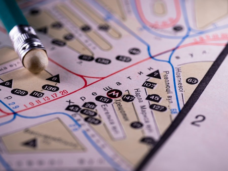
The London Tube map uses symbols to communicate important information without filling the diagram with long explanations. One of the most useful symbols is the interchange marker, which shows where different Underground or rail services connect.
Accessibility symbols are also important. The official map distinguishes between step-free access from street to platform and step-free access from street to train. These are not the same. A station that is step-free to the platform may still have a step or gap between the platform and the train.
The map can also identify National Rail interchanges, airports, river connections and other transport links. However, travelers should not assume that the standard Tube map provides every station facility. Detailed information about toilets, lifts, ticket halls and other facilities is easier to check through station information, specialist TfL maps or TfL Go.
Note: A symbol tells you what type of connection or access is normally available, but facilities can temporarily change. A lift failure, engineering work or station closure can alter an accessible route on the day you travel.
Reading the Map for Accessibility
Accessibility is an important part of Tube journey planning. The standard map gives a useful overview, while TfL’s dedicated step-free and accessibility guidance provides more detail.
When planning a wheelchair-accessible or step-free journey, look carefully at whether the station is marked as step-free from the street to the platform or all the way from the street to the train. TfL also provides detailed information about the step and gap between the platform and train, boarding ramps, mini ramps and step-free interchanges.
Do not assume that a route remains accessible simply because the printed map shows step-free access. Lifts can be temporarily unavailable. TfL Go can plan step-free journeys and provide current information about lift disruptions, making it a useful companion to the map.
TfL also offers staff assistance on the Underground. Through its Turn Up and Go service, staff can help passengers reach the platform, board a train, make an interchange and get off at their destination. Where appropriate and available, staff can also arrange boarding ramps or mini ramps.
Warning: If you depend on step-free access, check your route shortly before travelling. A temporarily unavailable lift can make an otherwise accessible route unusable.
Finding Your Way with the Night Tube
The Night Tube is useful for late-night travel when ordinary daytime frequencies and some other transport options are reduced. As of 2026, TfL states that Night Tube trains operate on Friday and Saturday nights on the Central, Jubilee, Northern, Piccadilly and Victoria lines.
The overnight service does not mean that every part of every Underground line operates identically throughout the night. TfL describes Night Tube service as running on the Jubilee and Victoria lines and on most of the Central, Northern and Piccadilly lines. Planned engineering work can also affect a particular weekend.
Before making a late-night journey, check the current TfL Night Tube information and live service status. This is especially important if your route depends on a specific branch or outer station.
Night Tube fares are treated as off-peak fares, and normal Oyster/contactless capping rules can apply when the payment method and journey qualify. Always check current fare rules if cost is important to your journey.
Using the Tube Map for Tourist Attractions
The London Tube map is an excellent starting point for sightseeing because many major attractions are within walking distance of Underground stations. The best approach is to find the attraction’s recommended station first and then use the Tube map to work out the route.
For example, the British Museum lists Tottenham Court Road at about a 5-minute walk, Holborn at about a 7-minute walk, Russell Square at about a 7-minute walk and Goodge Street at about an 8-minute walk. Holborn is served by the Central and Piccadilly lines, so a visitor already travelling on either of those lines may find it convenient.
Do not expect every tourist attraction to be printed directly on the standard Tube map. Instead, use an attraction’s official directions, TfL Journey Planner or TfL Go to identify a suitable station. Then use the Tube map to understand the line connections.
This approach can also reveal useful alternatives. The station that looks closest on a geographic map is not always the easiest choice if another station provides a direct train, fewer changes or better step-free access.
Tips for Efficient Travel
A little preparation can make Tube travel faster and less stressful. Start by checking your route shortly before departure rather than relying only on a screenshot or printed map from earlier in the day. Planned engineering work, signal problems, station closures and lift failures can change the best route.
Travel When the Network Is Quieter
Crowding varies by station, line, weekday and event schedule. TfL’s current general guidance says Tube and rail travel on weekdays is usually quieter between 09:00 and 16:30 and after 18:45. At weekends, it is generally quieter before 13:00 and after 18:30.
These quieter-travel periods should not be confused with fare peak periods. For rail journeys, peak fare rules generally apply from 06:30 to 09:29 and from 16:00 to 18:59 on Monday to Friday, excluding public holidays, although specific journey rules can vary.
Use Oyster or Contactless Correctly
Oyster and contactless payment let you pay as you go without buying a separate paper ticket for each journey. On Tube journeys, touch in at the start and touch out at the end using the same Oyster card, contactless bank card or payment device.
If you touch in with one device and touch out with another — for example, entering with a physical bank card and exiting with the same card stored on a phone — TfL treats them as different payment methods. This can result in incorrect or maximum fares.
Pro Tip: Keep other contactless cards away from the reader when touching in and out. This helps prevent “card clash,” where the system reads a different card from the one you intended to use.
Check Whether Walking Is Faster
Because the Tube map is not geographically to scale, a journey that appears to require a train and interchange may sometimes be easier on foot. TfL’s walking information and journey-planning tools can help compare the options.
This is particularly useful in central London, where several Underground stations can be relatively close together above ground even when the Tube diagram makes them look farther apart.
Utilizing Apps and Online Resources
Digital journey-planning tools are the best companion to the printed London Tube map because they add live information that a static diagram cannot provide.
The official TfL Go app includes a live map, current disruptions, live arrival information and journey planning. It can also plan routes to stations, places and addresses and includes options for step-free travel.
For travelers with mobility needs, TfL Go’s step-free mode can adapt route suggestions when accessibility changes, such as a lift closure. Station information can also help users check facilities and quieter times.
Third-party journey-planning apps can be useful as well, particularly when comparing walking, buses and rail. However, TfL should remain the primary source for official Underground disruptions, accessibility information and fare rules.
A good routine is simple: use the Tube map to understand the network, use TfL Go or Journey Planner to choose the current route, and check the station display before you actually board the train.
If you’re a fan of exploring new places, you may also enjoy reading about the delightful world of Asian melon. The article introduces readers to different flavors and varieties of the fruit. It is a very different subject from navigating London’s Tube network, but it offers another type of exploration for curious readers.
Frequently Asked Questions
What is the Tube Map London?
The London Tube map is the diagrammatic transport map used to show London Underground lines, stations and interchanges. Modern versions also display several connected rail and transport services. It is designed for network navigation rather than geographic accuracy.
How do I read the London Tube map?
Find your starting station and destination, identify the colored line connecting them, note any interchange stations, and check the destination or branch of the train before boarding. Then verify live disruptions and accessibility information with TfL Go or Journey Planner.
What are the different lines on the London Tube map?
The London Underground has 11 lines: Bakerloo, Central, Circle, District, Hammersmith & City, Jubilee, Metropolitan, Northern, Piccadilly, Victoria, and Waterloo & City. The modern map also displays other services such as the Elizabeth line, DLR and London Overground, but these are not Underground lines.
How can I use the London Tube map to plan my journey?
Identify the stations you need to travel between and follow the relevant colored lines. If the stations are on different lines, choose an interchange where the lines meet. Check the train’s direction and destination before boarding and use TfL’s live tools to confirm that the route is operating normally.
Where can I find the London Tube map?
Maps are displayed throughout London Underground stations and trains, and official downloadable versions are available from Transport for London. TfL Go also provides a live digital map and journey-planning tools.
Is the London Tube map geographically accurate?
No. It is a diagram designed to make lines and connections easy to understand. Station spacing, direction and line shapes do not always match their exact geographic positions, so use a street map or journey planner when walking distance matters.
How many fare zones are shown in London?
London’s wider rail fare network uses Zones 1–9, with Zone 1 covering central London and higher-numbered zones extending farther outward. Exact fares can depend on more than the zones alone, so use TfL’s Fare Finder for a specific journey.
What do the step-free symbols on the Tube map mean?
TfL distinguishes between step-free access from street to platform and step-free access from street to train. Travelers who need a fully step-free journey should check the detailed Step-free Tube guide and live lift information before travelling.
Which London Underground lines run the Night Tube?
The Night Tube currently operates on Friday and Saturday nights on the Central, Jubilee, Northern, Piccadilly and Victoria lines. Service coverage and engineering work can change, so check TfL before making a late-night trip.
Sources
- Transport for London — Maps — official Tube, rail, visitor and accessibility maps.
- Transport for London — TfL Go — live routes, disruptions, arrivals and accessibility journey planning.
- Transport for London — Night Tube — current Night Tube lines, operating nights and fare information.
- Transport for London — Accessible Journey Planning — step-free travel, accessibility maps and journey-planning options.
- Transport for London — Pay As You Go — Oyster, contactless, touching in and out, and fare capping.
- British Museum — Visit — official nearest Tube stations and walking times used in the sightseeing example.