The Stoos Ridge hike is one of Central Switzerland’s best-known panoramic mountain walks, linking Klingenstock with Fronalpstock above the car-free village of Stoos. The trail delivers wide views over Lake Lucerne, the Muota valley, and surrounding Alpine peaks, but it is a real mountain hiking route with stairs, narrow sections, exposure, and some chain-secured passages. Good planning matters, especially because the standard itinerary depends on seasonal chairlifts.
Quick Answer
The classic Stoos Ridge hike runs from Klingenstock to Fronalpstock. SwitzerlandMobility lists Route 827 at about 4 km with 380 m of ascent and 400 m of descent. Allow roughly 2 to 2.5 hours for a relaxed hike, and only attempt it when the trail, weather, and required chairlifts are operating safely.
Key Takeaways
- The famous Stoos Ridge hike is the Klingenstock-to-Fronalpstock route, not simply a walk from Stoos village to Fronalpstock.
- SwitzerlandMobility lists the route at about 4 km, 1 hour 50 minutes of pure walking time, 380 m ascent, and 400 m descent.
- Stoos recommends allowing about 2 hours 30 minutes for the ridge section, which is a more comfortable planning estimate for stops and viewpoints.
- Sure-footedness and a head for heights are important because parts of the mountain trail are narrow, stepped, exposed, or secured with chains.
- Check the live Stoos operating information and mountain weather before leaving because chairlifts and trail access can change due to maintenance, snow, wind, or other conditions.
At a Glance
| Route | Klingenstock to Fronalpstock, SwitzerlandMobility Route 827 |
| Distance | About 4 km on the current SwitzerlandMobility route listing |
| Time Required | About 1 hour 50 minutes pure walking time; allow roughly 2 to 2.5 hours for a relaxed ridge hike |
| Elevation Change | About 380 m ascent and 400 m descent |
| Difficulty | Medium technical requirements; sure-footedness and comfort with heights are recommended |
| Best Season | Generally June to October, subject to snow, weather, trail conditions, and lift operation |
| Tools Needed | Hiking shoes or boots with good grip, layered clothing, water, sun protection, charged phone, and weather protection |
| Cost | Mountain-railway prices vary by ticket type and discounts; check current Stoos Peak Experience pricing before travel |
Best Hiking Trails on Stoos Ridge
Klingenstock to Fronalpstock Ridge Hike
The classic Stoos Ridge hike begins at Klingenstock and finishes at Fronalpstock. Stoos recommends reaching the car-free village first, walking to the Klingenstock chairlift, riding to the summit area, and then following the ridge toward Fronalpstock.
The route passes through or near Rot Turm, Nollen, Huser Stock, and Furggeli before the final climb toward Fronalpstock. The landscape is much more open and exposed than a typical forest walk. Hikers get changing views toward the Schwyz mountains, Lake Lucerne, the Muota valley, and numerous Central Swiss peaks.
Current SwitzerlandMobility Route 827 data lists approximately 4 km, 380 m of ascent, 400 m of descent, and about 1 hour 50 minutes of walking time. The official Stoos Ridge Hike guide recommends allowing approximately 2 hours 30 minutes for the ridge section. The difference is useful when planning: the shorter figure reflects mapped walking time, while a visitor stopping for photographs and viewpoints should allow more time.
Warning: This is a mountain hiking trail, not a flat sightseeing path. Parts are narrow or exposed, and some sections are cut into the rock or secured with chains. Hikers should be sure-footed and comfortable with heights.
The recommended direction is Klingenstock to Fronalpstock. Besides following the standard Stoos itinerary, this direction leaves you at Fronalpstock, where you can pause at the summit area and then descend toward Stoos using the Fronalpstock chairlifts when they are operating.
Fronalpstock Panorama Trail for an Easier Walk
Visitors who want the views without committing to the exposed ridge can consider the Fronalpstock Panorama Trail. Stoos describes this as a short, relatively flat panoramic alternative around the Fronalpstock summit area. It is also presented as suitable for all-terrain pushchairs.
This easier option is useful for families, visitors with limited hiking experience, or anyone who reaches Stoos and decides that the weather or exposed ridge does not feel appropriate that day.
Pro Tip: Treat the Fronalpstock Panorama Trail as your backup plan. If visibility, wind, trail conditions, or Klingenstock lift operations make the full ridge unsuitable, you can still enjoy a high-mountain viewpoint without forcing the original plan.
Wildlife and Nature on Stoos Ridge
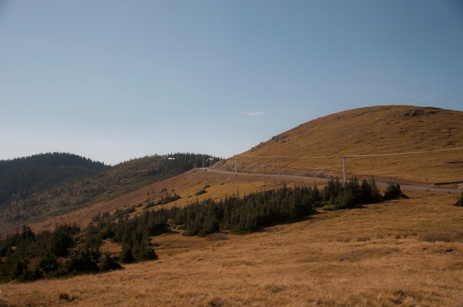
The Stoos landscape combines high mountain ridges, alpine meadows, rocky slopes, and working pastureland. During the warmer hiking season, wildflowers add color to the meadows, while grazing cattle may also be part of the landscape.
Wild animals live throughout the Swiss Alps, but sightings should be treated as a bonus rather than an expected feature of this particular hike. Avoid approaching or feeding wildlife, keep a respectful distance from livestock, and leave flowers and other natural features where you find them.
The exposed nature of the ridge is one reason the scenery feels so dramatic. From high points along the route, the terrain falls away toward Lake Lucerne on one side and the Muota valley on the other. On clear days, the wider panorama extends across numerous Alpine summits and lakes.
The Stoos ridge is a compact hike, but its combination of elevation changes, stairs, exposure, and continuous views makes it feel far more substantial than its distance alone suggests.
Planning Your Trip to Stoos Ridge
The main ridge season is generally summer into early autumn. SwitzerlandMobility lists June through October for Route 827, but calendar dates alone do not guarantee safe access. Snow, wind, thunderstorms, trail work, and lift operations can all affect the itinerary.
Check Lift and Trail Status First
The standard route relies on the Klingenstock chairlift at the start and normally uses the Fronalpstock chairlifts after the hike. Always check the official Stoos operating information shortly before leaving. The Klingenstock chairlift is seasonal and may close because of maintenance, renovation, weather, or other operating conditions.
Note: Do not assume that an open funicular means the complete ridge itinerary is available. Check the Klingenstock chairlift, Fronalpstock chairlifts, ridge route, and weather individually.
Tickets
Stoos recommends its Peak Experience Ticket for visitors hiking the ridge. The ticket is designed to cover the relevant Stoos mountain railways, including the Schwyz–Stoos funicular, Morschach–Stoos cable car, Fronalpstock chairlifts, and Klingenstock chairlift when those facilities are operating.
Prices and discounts can change, so check the current ticket page rather than relying on an older fixed price.
Accommodation and Food
Accommodation around Stoos includes hotels and other mountain lodging, while additional choices are available in Schwyz and surrounding communities. Booking ahead is sensible during busy summer weekends and winter holiday periods.
Restaurants in the village and the Fronalpstock summit area offer opportunities to try Swiss mountain cuisine. However, hikers should still carry their own water and enough snacks for the ridge rather than relying on finding frequent services along the exposed trail.
How to Get to Stoos Ridge
From Schwyz by Public Transport
The official Stoos public-transport instructions recommend taking the train to Schwyz railway station, then bus 501 in the direction of Muotathal Hölloch / Stoosbahn. Get off at the “Schwyz, Stoosbahn” stop.
From there, the Schwyz–Stoos funicular climbs to the car-free mountain village. Stoos describes the funicular journey itself as roughly seven minutes.
From Morschach
A second access route uses the Morschach–Stoos cable car. Public-transport travelers can take the train to Brunnen and then bus 504 toward Morschach, getting off at “Morschach, Luftseilbahn.”
By Car
Drivers approaching the Schwyz funicular should follow signs toward Stoos/Muotathal and use the valley-station parking facilities. Stoos itself is car-free, so visitors leave the vehicle below and complete the ascent by mountain railway.
Step-by-Step Stoos Ridge Itinerary
- Reach Stoos village: Use the Schwyz–Stoos funicular or Morschach–Stoos cable car.
- Walk to the Klingenstock chairlift: Stoos estimates roughly 15 minutes from the Schwyz–Stoos top station.
- Ride toward Klingenstock: When operating, the chairlift saves the long climb from the village and places you at the classic ridge starting area.
- Follow the marked ridge route: Hike westward from Klingenstock through the ridge terrain toward Huser Stock and Furggeli.
- Climb to Fronalpstock: Complete the final ascent and enjoy the summit viewpoint.
- Take a break: The Fronalpstock summit area includes a restaurant and viewpoint facilities.
- Descend toward Stoos: Use the Fronalpstock chairlifts when operating.
- Return to the valley: Walk back to your chosen Stoos mountain-railway station for the descent to Schwyz or Morschach.
The entire excursion takes considerably longer than the ridge walking time alone. Transport, walking between lift stations, lift queues, photographs, food stops, and time at Fronalpstock should all be included when planning your day.
Tips for Hiking Stoos Ridge
Preparation makes the ridge safer and more enjoyable. Sturdy hiking footwear with reliable grip is far more appropriate than casual street shoes because the route includes rock, steps, uneven ground, and potentially slippery surfaces.
- Wear layers: Conditions at ridge level may feel cooler and windier than in the valley.
- Carry water: Bring enough for the whole ridge section rather than depending on frequent refill points.
- Pack food: Small snacks or energy-rich food are useful even if you plan to eat at Fronalpstock.
- Use sun protection: Much of the ridge is exposed, with limited shade.
- Carry rain protection: Alpine weather can change quickly.
- Keep your phone charged: Save essential route and transport information before leaving.
- Allow extra time: Viewpoints and photographs can easily add 30 minutes or more to a fast mapped walking estimate.
- Stay on the marked trail: Shortcuts increase erosion and can put hikers onto steeper or less stable terrain.
If you use a hiking map or app, identify Klingenstock, Huser Stock, Furggeli, and Fronalpstock before starting. Knowing the basic route makes signs easier to interpret once you are on the ridge.
Safety Precautions for Hiking Stoos Ridge
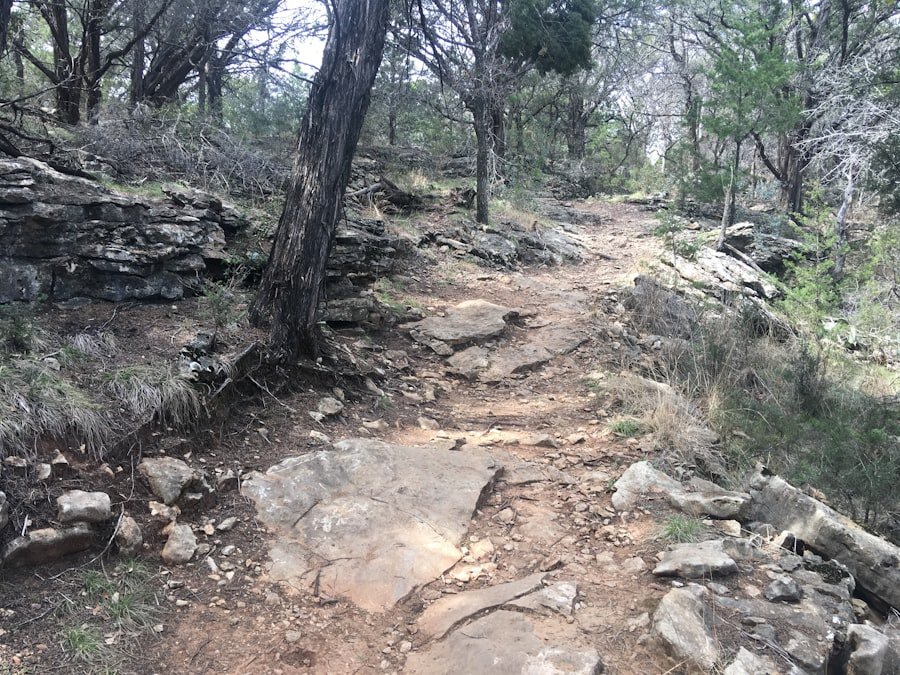
The Stoos Ridge hike is manageable for many regular hikers, but distance alone is a poor measure of its difficulty. The more important questions are whether you are comfortable on narrow mountain paths, can manage repeated steps and elevation changes, and remain steady when the terrain drops away beside the trail.
Check the Weather
Review mountain conditions before leaving and continue watching the sky during the hike. MeteoSwiss publishes official weather-hazard information for Switzerland, including thunderstorms, heavy rain, wind, snow, and other hazards.
Summer does not automatically mean stable weather. Thunderstorm activity in Switzerland is highest during the warmer months, so an early start can provide more flexibility if storms are forecast later in the day.
Warning: Do not continue onto an exposed ridge when thunderstorms, strong winds, dangerous visibility, heavy rain, or unsafe trail conditions are developing. Turning around or choosing the easier Panorama Trail is a better decision than forcing the planned route.
Know Your Limits
Anyone with significant fear of heights should consider the easier Fronalpstock summit area instead. Parents should also assess each child’s actual mountain-hiking experience rather than assuming the short distance makes the ridge automatically family-friendly.
If hiking alone, tell someone your route and expected return time. Keep emergency communication available and know where you would retreat if conditions deteriorate.
Nearby Attractions and Activities
Stoos and the surrounding Schwyz region offer several alternatives for visitors who want more than the ridge hike.
Forum of Swiss History Schwyz
In Schwyz, the correctly named cultural attraction is the Forum of Swiss History Schwyz. It forms part of the Swiss National Museum and presents Swiss cultural and historical exhibitions, including material connected with the development of the early Confederation.
Paragliding and Mountain Biking
Summer activities around Stoos also include paragliding and mountain biking. Conditions, equipment requirements, and route restrictions vary, so use local operators and current trail information when planning these activities.
Winter Sports
In winter, Stoos becomes a ski and snowboard destination. The famous exposed summer ridge hiking trail should not be treated as an ordinary winter footpath when snow covers the route. Instead, use the officially maintained ski, winter-hiking, snowshoe, and other designated winter routes available at that time.
Fronalpstock Without the Full Ridge
Fronalpstock is also worthwhile as a viewpoint in its own right. Visitors who do not want the complete Klingenstock ridge hike can travel toward the summit using the operating mountain railways and enjoy the easier panoramic walking options there.
Conclusion and Final Thoughts on Stoos Ridge
The Stoos Ridge hike earns its reputation through concentrated scenery rather than extreme distance. In only a few kilometers, the Klingenstock-to-Fronalpstock route delivers narrow mountain paths, stairs, alpine meadows, exposed viewpoints, and broad views across Central Switzerland.
The key is to plan it as a mountain outing rather than a casual village walk. Check the weather, trail status, and chairlift operations; wear proper footwear; carry water and layers; and be realistic about your comfort with heights. When those conditions line up, the ridge offers an outstanding hiking experience. When they do not, the Fronalpstock Panorama Trail provides a sensible alternative.
If you’re planning a trip to the Stoos Ridge hike, you might also be interested in exploring the delightful world of Asian melon, which can be a refreshing treat after a long day of hiking. This article provides insights into the various types of Asian melons and their unique flavors. For more information, check out this related article: Exploring the Delightful World of Asian Melon.
Frequently Asked Questions
What is the Stoos Ridge hike?
The classic Stoos Ridge hike is the mountain route from Klingenstock to Fronalpstock above Stoos in the canton of Schwyz. It is known for panoramic views over Lake Lucerne, surrounding valleys, lakes, and Alpine peaks.
How long is the Stoos Ridge hike?
Current SwitzerlandMobility Route 827 data lists approximately 4 km. Its mapped walking time is about 1 hour 50 minutes, while Stoos recommends allowing around 2 hours 30 minutes for the ridge section. Extra time is sensible for photographs, viewpoints, and breaks.
How difficult is the Stoos Ridge hike?
SwitzerlandMobility rates the technical requirements as medium. The route includes stairs, narrow or exposed mountain terrain, elevation changes, and sections secured with chains. Sure-footedness and a head for heights are recommended.
Which direction should I hike the Stoos Ridge?
The recommended direction is from Klingenstock toward Fronalpstock. This matches the standard Stoos itinerary and finishes at the Fronalpstock summit area, where hikers can rest before descending toward Stoos.
When is the best time to hike the Stoos Ridge?
The main hiking period is generally June through October. Exact access depends on snow, trail conditions, weather, and seasonal chairlift operation, so always check current Stoos information before travelling.
Are there facilities along the Stoos Ridge hike?
Stoos village and the Fronalpstock summit area have visitor facilities, including places to eat. Services are much more limited on the exposed ridge itself, so carry your own water and snacks and use available facilities before starting.
Can children hike the Stoos Ridge?
Experienced hiking children may be capable of the route, but parents should consider the exposure, stairs, narrow sections, and each child’s comfort with heights. The easier Fronalpstock Panorama Trail is a better choice for many families.
What should I bring for the Stoos Ridge hike?
Bring hiking footwear with good grip, water, snacks, sun protection, layered clothing, rain protection, and a fully charged phone. A downloaded trail map is also useful if mobile reception becomes unreliable.
What happens if the Klingenstock chairlift is closed?
Do not assume the standard ridge itinerary is available. Check the official Stoos operating information for alternatives. Depending on conditions, visiting Fronalpstock and using its easier Panorama Trail may provide a more practical substitute.
Sources
- Stoosbahnen: Stoos Ridge Hike — official recommended itinerary, lift sequence, and planning time.
- SwitzerlandMobility Route 827 — current route distance, duration, elevation change, season, and technical rating.
- Stoosbahnen: Arrival by Public Transport — official Schwyz and Morschach public-transport directions.
- Stoosbahnen: Operating Information — current lift and mountain-railway operating status.
- MeteoSwiss Weather Hazards — official Swiss weather and hazard information.
- Forum of Swiss History Schwyz — official information for the Swiss National Museum institution in Schwyz.