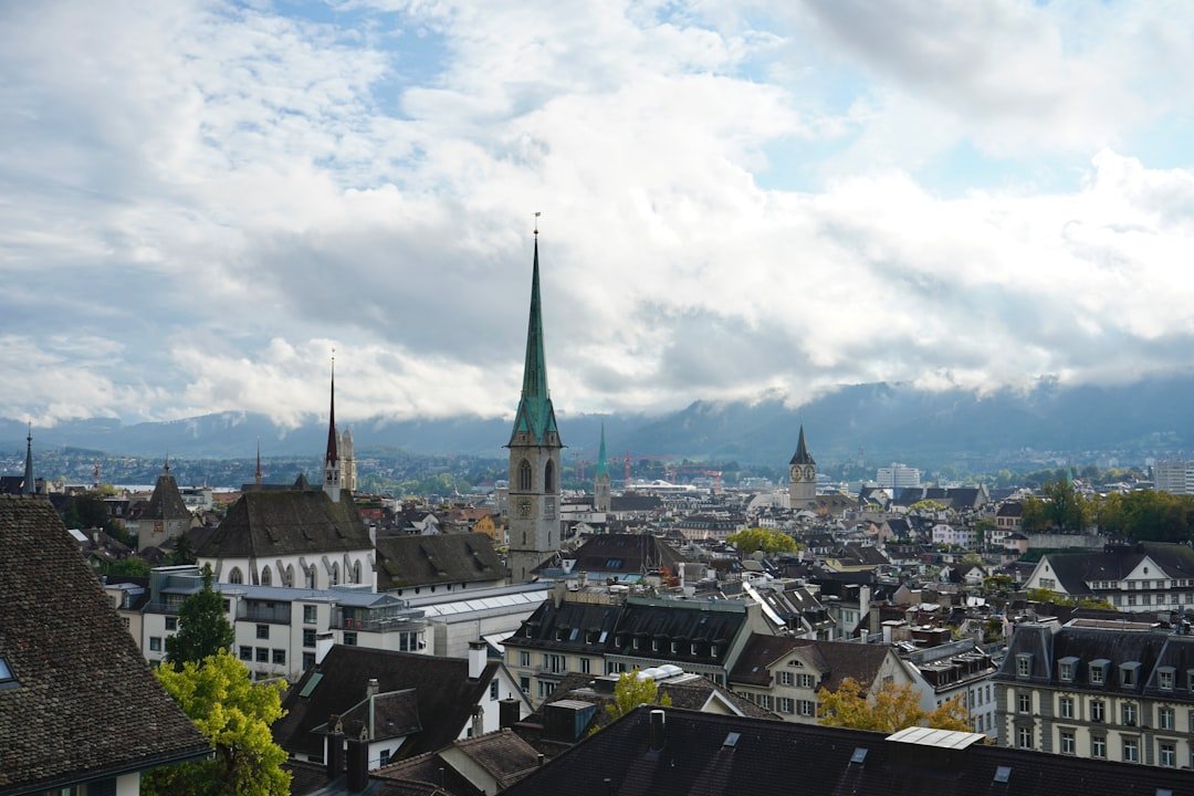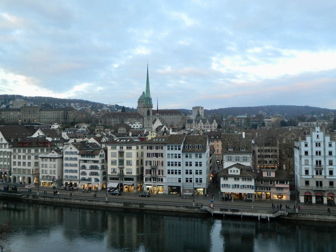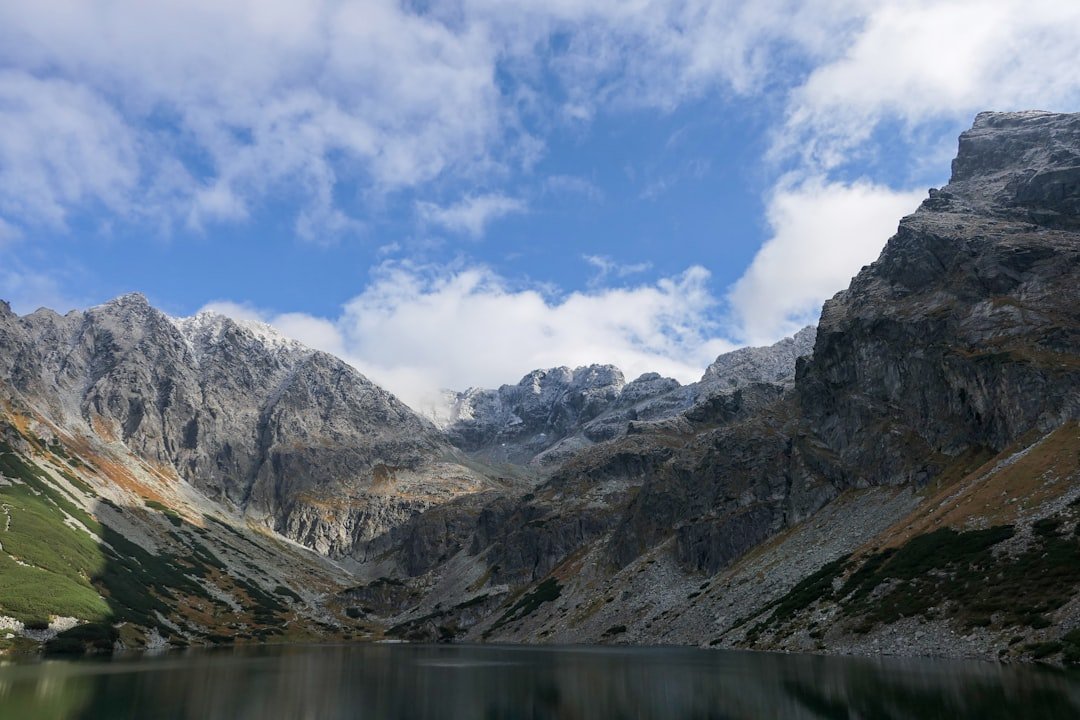
The 5 Lakes Walk in Zermatt is one of the best-known panoramic hikes around the Matterhorn, linking five very different alpine lakes above the village. The standard route runs from Blauherd to Sunnegga and visits Stellisee, Grindjisee, Grünsee, Moosjisee, and Leisee. Along the way, you get mountain views, larch forests, rocky alpine terrain, and some of Zermatt’s classic Matterhorn reflections.
Quick Answer
The 5 Lakes Walk in Zermatt normally starts at Blauherd and finishes at Sunnegga, passing Stellisee, Grindjisee, Grünsee, Moosjisee, and Leisee. Official sources list the route at roughly 9.8 to 11.3 km. Allow about 3 to 4 hours for hiking, photos, and short breaks.
Key Takeaways
- The official five lakes are Stellisee, Grindjisee, Grünsee, Moosjisee, and Leisee.
- The standard route starts at Blauherd at 2,571 m and finishes at Sunnegga at 2,288 m.
- Zermatt Tourism classifies Route No. 11 as a moderate T2 mountain hike, not a completely flat or effortless walk.
- Matterhorn reflections are especially associated with Stellisee, Grindjisee, and Leisee when conditions are calm and clear.
- Swimming is permitted at Leisee and Grünsee when local signs do not prohibit it.
- For 2026, the Five Lakes Walk Kombi-Ticket is listed for June 13 through October 4, subject to weather and lift operations.
At a Glance
| Time Required | About 3–4 hours for most visitors, including short stops |
| Difficulty | Moderate, T2 mountain hiking classification |
| Distance | Official listings vary from 9.8 km to 11.3 km |
| Standard Route | Blauherd → Stellisee → Grindjisee → Grünsee → Moosjisee → Leisee → Sunnegga |
| Elevation | Highest point about 2,617 m; lowest point about 2,130 m |
| Tools Needed | Good hiking shoes, weather layers, water, sun protection, and optional trekking poles |
| Cost | The trail itself is free. Lift transport is extra; the 2026 Five Lakes Walk Kombi-Ticket is listed from CHF 48, with eligible reductions available. |
How to Get to Zermatt
Zermatt is a car-free mountain village in the canton of Valais. The easiest way to arrive is by rail. Travelers coming from cities such as Zurich, Geneva, Basel, or Bern can use the Swiss rail network and connect with the Matterhorn Gotthard Bahn for the final journey into Zermatt. Check the latest connection in the official timetable before traveling.
If you are driving, you cannot take a private car into Zermatt. Drive only as far as Täsch and leave the vehicle there. The Matterhorn Terminal Täsch has a large covered parking facility, and shuttle trains connect Täsch with Zermatt.
The Täsch-Zermatt train journey takes about 12 minutes. The current Matterhorn Gotthard Bahn Zermatt Shuttle information lists frequent service, while the official Zermatt arrival guide provides current parking and transfer information.
Note: Do not rely on driving directions that appear to take you directly into central Zermatt. Normal private vehicles must stop in Täsch unless specifically authorized.
Getting to the Starting Point of the 5 Lakes Walk
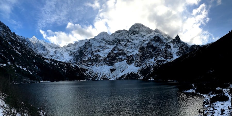
The standard Five Lakes Walk does not begin at Sunnegga itself. The official route starts higher up at Blauherd, 2,571 meters above sea level, and finishes at Sunnegga.
From Zermatt, take the underground funicular to Sunnegga and continue toward Blauherd using the operating mountain lift. Zermatt Bergbahnen states that the journey from Zermatt to Blauherd takes around 20 minutes including the change.
For the 2026 summer season, the official Five Lakes Walk Kombi-Ticket is listed for June 13 through October 4, 2026. The ticket includes one journey from Zermatt to Blauherd and one journey from Sunnegga back to Zermatt.
Pro Tip: Check lift operating times and trail conditions on the morning of your hike. Zermatt Tourism warns that a hiking route can sometimes appear open even when mountain railways are operating only as far as Sunnegga.
The Route of the 5 Lakes Walk
The official route sequence is:
Blauherd → Stellisee → Grindjisee → Grünsee → Moosjisee → Leisee → Sunnegga
There is a small difference between current official measurements. Zermatt Tourism’s Route No. 11 lists 11.3 km, approximately 3 hours 30 minutes, 265 m of ascent, and 542 m of descent. Zermatt Bergbahnen’s Five Lakes Trail page lists 9.8 km and about 2 hours 30 minutes.
Because mapping methods and exact trail variants can differ, it is safer to think of the hike as roughly 10 to 11.3 km and allow 3 to 4 hours. Add more time if you plan to swim, eat at a mountain restaurant, photograph the Matterhorn reflections, or stop frequently with children.
| Lake | What to Expect | Useful Note |
|---|---|---|
| Stellisee | Open alpine scenery and one of the route’s classic Matterhorn viewpoints. | A famous reflection location in calm weather. |
| Grindjisee | A more intimate lake setting with alpine vegetation. | Another official Matterhorn-reflection location. |
| Grünsee | A rugged landscape with larches growing among rock and glacial terrain. | Swimming may be permitted when no local signs prohibit it. |
| Moosjisee | A striking turquoise reservoir that looks very different from the natural lakes. | Enjoy the view from the designated trail and respect any infrastructure restrictions. |
| Leisee | A family-friendly lake close to Sunnegga with picnic and recreation opportunities. | Swimming may be allowed, and the Matterhorn can reflect in the water in suitable conditions. |
Stellisee
Stellisee is normally the first lake reached after leaving Blauherd. It is one of the best-known photography locations on the walk because calm water can create a clear reflection of the Matterhorn. Morning conditions can be especially attractive when winds are light, but a reflection is never guaranteed.
Grindjisee
The trail then continues toward Grindjisee. Zermatt Tourism highlights the rare alpine flowers found around this part of the route. Grindjisee is also one of the three lakes officially associated with Matterhorn reflections.
Grünsee
Grünsee has a rougher, more rugged landscape. Larches survive among rubble and sandy ground, giving this stop a noticeably different appearance from the first two lakes. Swimming is allowed when local signs and conditions permit it.
Moosjisee
Moosjisee stands out for its turquoise color. It is a reservoir rather than a natural mountain lake, so its appearance and surroundings differ considerably from the other stops. Stay on the designated hiking route and follow any signs around water-management infrastructure.
Leisee
Leisee is the final lake before the route returns to Sunnegga. It is particularly appealing to families because the area includes picnic facilities and a children’s playground. Swimming may also be possible when signs do not say otherwise.
Three lakes on the official route, Stellisee, Grindjisee, and Leisee, are known for Matterhorn reflections when the water and weather are calm.
Difficulty, Elevation, and Family Suitability
The Five Lakes Walk is scenic and popular, but it should still be treated as a mountain hike. Zermatt Tourism classifies Route No. 11 as Moderate T2. The official route reaches a highest point of about 2,617 m and a lowest point of about 2,130 m.
The standard Blauherd-to-Sunnegga direction involves more descent than ascent, with Zermatt Tourism listing about 265 m uphill and 542 m downhill. That makes it easier than hiking the same route in reverse, but long descents can still be tiring for knees and legs.
The official route information says it is suitable for children from age six. That does not mean every six-year-old will find it easy. Consider the child’s hiking experience, weather, energy level, footwear, and ability to comfortably walk for several hours.
You can also hike the route in the opposite direction from Sunnegga toward Blauherd. Zermatt Tourism estimates approximately 3 hours 50 minutes for that direction because it involves more uphill walking.
What to Bring for the 5 Lakes Walk
Good preparation makes the hike safer and more comfortable. Even on a warm morning, weather can change quickly at this elevation.
- Hiking shoes: Wear supportive shoes with good grip rather than smooth-soled casual footwear.
- Weather layers: Carry an insulating layer and rain protection even when the forecast looks favorable.
- Water: Bring enough for your group instead of assuming water will be available at every lake.
- Food: Pack energy-rich snacks or a lunch if you do not plan to use a mountain restaurant.
- Sun protection: Bring sunscreen, sunglasses, and a hat. UV exposure is stronger at altitude.
- Phone and map: Carry a charged phone and keep an offline map or the official route information available.
- Trekking poles: Optional poles can make the longer downhill sections more comfortable.
- Swimwear: Bring it only if you intend to swim at Leisee or Grünsee and conditions permit swimming.
- Small first-aid kit: Useful for blisters, small cuts, and other minor problems.
If you prefer carrying homemade food, this simple and healthy cottage cheese recipe is one option, but dairy products should be transported in a properly chilled container rather than left warm in a backpack for hours.
Safety, Weather, and Altitude
Warning: Mountain weather can change rapidly. Check the forecast and lift status before leaving, stay on marked trails, carry rain protection and enough food and water, and turn back if weather or trail conditions become unsafe.
The route reaches more than 2,600 m above sea level, so conditions can be cooler and windier than in Zermatt village. Take a comfortable pace, especially if you have arrived from much lower elevation and are not used to walking at altitude.
Stay on the marked route and avoid entering glacier areas or unmarked alpine terrain. Zermatt Tourism specifically advises hikers not to go onto glaciers without a mountain guide.
Swimming should be limited to Leisee and Grünsee and only when there is no sign prohibiting it. Conditions and local restrictions take priority over general route information.
In a serious emergency, the official Zermatt emergency service lists 144 for medical emergencies and 112 as the international emergency number. See the current Zermatt emergency information before your trip.
Tips for Exploring the 5 Lakes Walk
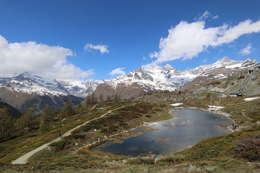
Starting earlier in the day can give you more time for stops and reduce the risk of rushing for the final lift. Early starts may also provide calmer conditions for photographing reflections, although cloud, wind, and changing light always affect the view.
Do not treat the route as a race. Each lake has a different character, and the experience is better when you allow time to stop, photograph the scenery, eat, or simply rest.
Keep wildlife at a distance, avoid picking alpine flowers, take your rubbish with you, and stay on established paths where required. These simple habits help protect fragile high-altitude vegetation.
Pro Tip: If Matterhorn reflections are one of your main reasons for doing the walk, spend extra time at Stellisee, Grindjisee, and Leisee. Calm water matters as much as sunshine, so even a clear day may not produce a mirror-like reflection when it is windy.
Food, Rest Stops, and Facilities
Zermatt Tourism lists restaurants along the Five Lakes route, giving hikers the option of combining the walk with a mountain meal. Opening days and hours can vary with the season and lift operations, so check before relying on a particular restaurant.
Leisee also has picnic facilities, making it a practical place for families to take a longer break near the end of the standard route.
Use toilets and other facilities when available at transport stations or open restaurants rather than assuming every lake has services. Carry the water and essentials you need to complete the walk independently.
Best Time to Hike the 5 Lakes Walk
The Five Lakes Walk is primarily a summer and early-autumn hike. Zermatt Bergbahnen describes June through September as the main period for the trail.
For 2026, the Five Lakes Walk/Flower Trail Kombi-Ticket is listed from June 13 to October 4, 2026. These dates reflect scheduled mountain-railway access and can still be affected by weather, maintenance, snow, or operational changes.
Check current trail conditions, the weather forecast, and lift operating times immediately before setting out rather than relying only on dates published earlier in the season.
Nearby Attractions and Activities
Zermatt offers much more than the Five Lakes Walk. If you have another day, you can explore additional hiking and mountain-biking routes around Sunnegga, Blauherd, Rothorn, and other parts of the valley.
In the village, traditional chalets, shops, cafés, and restaurants provide a contrast to the high-alpine landscape. The Matterhorn Museum is a useful stop for visitors interested in Zermatt’s development, mountain culture, and the history surrounding the Matterhorn.
Other warm-season possibilities include scenic mountain excursions, climbing experiences, and additional marked walks. Choose activities that match your experience and check the relevant operating information before heading into the mountains.
In winter, Zermatt becomes a major skiing and snow-sports destination, but the summer Five Lakes Walk should not be treated as a normal winter hiking route. Use designated winter hiking or snowshoe trails instead.
Conclusion and Final Thoughts
The 5 Lakes Walk in Zermatt combines five distinctive alpine lakes with some of the region’s most recognizable Matterhorn views. The most important planning detail is getting the route right: travel from Zermatt through Sunnegga to Blauherd, then hike past Stellisee, Grindjisee, Grünsee, Moosjisee, and Leisee before finishing at Sunnegga.
Although the route is popular with families, it is officially a moderate T2 mountain hike. Good footwear, weather protection, water, enough time, and a check of current lift operations will make the experience much more comfortable. Allow roughly 3 to 4 hours rather than rushing, especially if you want photographs, swimming, a picnic, or a restaurant stop.
Frequently Asked Questions
What is the 5 Lakes Walk in Zermatt?
The Five Lakes Walk, also known as the 5-lake route or 5-Seenweg, is a mountain hiking route above Zermatt connecting Stellisee, Grindjisee, Grünsee, Moosjisee, and Leisee. The standard direction runs from Blauherd to Sunnegga.
How do I get to Zermatt?
Zermatt is easily reached by train. If you drive, leave your vehicle in Täsch because normal private cars are not allowed into Zermatt. Shuttle trains connect Täsch with Zermatt in about 12 minutes.
How do I get to the starting point of the 5 Lakes Walk?
Take the underground funicular from Zermatt to Sunnegga and continue by mountain lift to Blauherd. Blauherd, at 2,571 m, is the standard starting point. The route then descends overall toward Sunnegga.
How long is the 5 Lakes Walk?
Official figures differ slightly. Zermatt Tourism lists 11.3 km and 3 hours 30 minutes, while Zermatt Bergbahnen lists 9.8 km and 2 hours 30 minutes. Allow around 3 to 4 hours, and longer if you plan several stops.
Is the 5 Lakes Walk suitable for beginners and families?
Zermatt Tourism classifies the route as Moderate T2 and describes it as suitable for children from age six. Beginners with reasonable fitness can enjoy it, but they should still be comfortable walking several hours on mountain terrain.
Can you swim in the lakes on the Five Lakes Walk?
Swimming is permitted at Leisee and Grünsee when there are no local signs saying otherwise. Do not assume swimming is allowed in the other lakes.
Are there restaurants or facilities along the route?
Zermatt Tourism lists restaurants along the route, and Leisee has picnic facilities. Restaurant hours vary, so carry enough water and food to complete the walk even if a planned stop is closed.
When is the Five Lakes Walk open in 2026?
The 2026 Five Lakes Walk/Flower Trail Kombi-Ticket is scheduled for June 13 through October 4, 2026. Actual access can still change because of weather, snow, maintenance, or lift operations, so check again before hiking.
Sources
- Zermatt Tourism: 5-lake route (No. 11) — official route, lakes, distance, elevation, difficulty, safety advice, and family information.
- Zermatt Bergbahnen: Five Lakes Trail — route overview, distance, walking time, swimming information, and recommended direction.
- Zermatt Bergbahnen: Kombi-Tickets — 2026 operating dates, ticket inclusions, prices, and reductions.
- Zermatt Tourism: Planning Your Trip to Zermatt — car-free access, Täsch parking, and transport information.
- Matterhorn Gotthard Bahn: Zermatt Shuttle — Täsch-Zermatt rail service and current ticket information.
- Zermatt Tourism: Emergency Numbers — official emergency and rescue contact information.