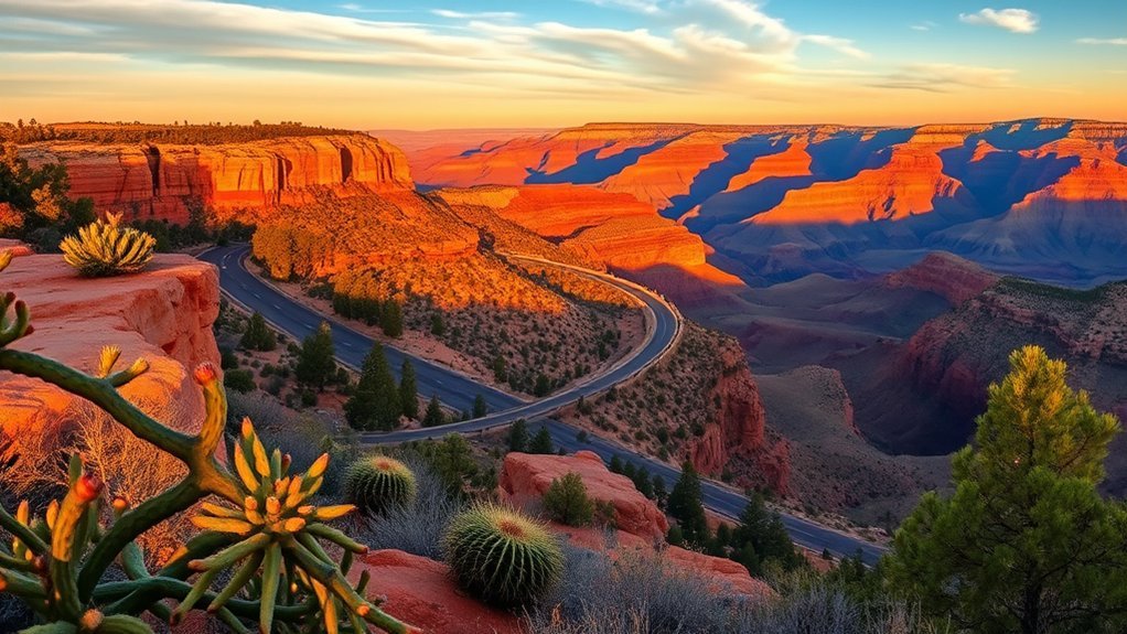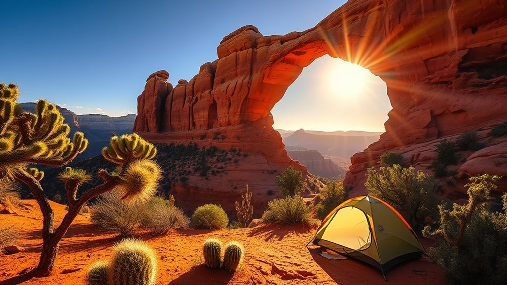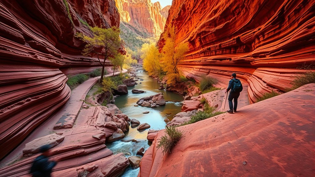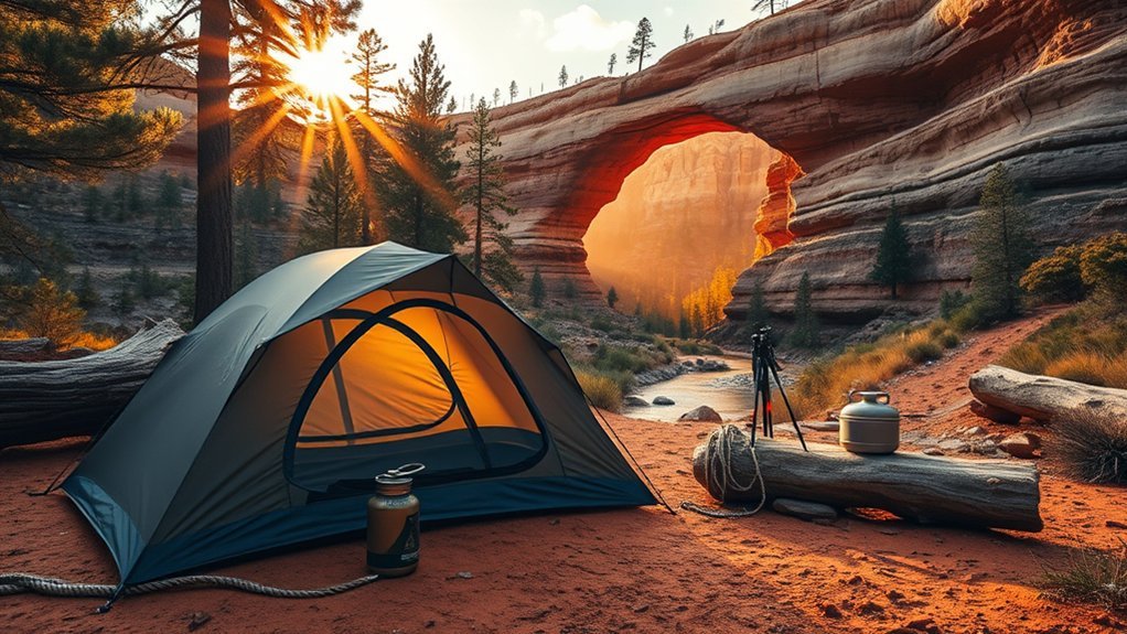
If you are planning a camping trip near Tonto Natural Bridge State Park, you will need to sleep outside the park and visit the bridge during day-use hours. Several developed and dispersed camping options are available around Payson and Rim Country, but campground closures, reservations, road conditions, and fire restrictions can change with little notice.
Quick Answer
Tonto Natural Bridge State Park does not provide a public overnight campground. Camp near Payson or along State Route 260, then visit the bridge as a day trip. Houston Mesa, Ponderosa, and Sharp Creek are popular developed options, but you must check current closures, fire restrictions, and campsite availability before leaving.
Key Takeaways
Key Takeaways
- Camp outside the park: Tonto Natural Bridge is a day-use destination with no public campground or overnight lodge accommodation.
- Check live campground status: Closures, reservations, first-come sites, and fire restrictions can change quickly.
- Do not underestimate the trails: The canyon routes are short but steep, rocky, and sometimes slippery.
- Carry enough water: Park guidance recommends about 2 liters per person for a canyon hike.
- Know the pet and glass rules: Pets and glass containers are prohibited on the canyon trails.
- Leave time to climb out: Canyon trails normally close one hour before the rest of the park.
At a Glance
| Time Required | Allow 2–4 hours for viewpoints, a picnic, and one canyon route. Set aside most of the day if you want a slower hike. |
| Difficulty | Easy paved viewpoints on the rim; strenuous canyon trails with steep grades, uneven steps, and slick rock. |
| What to Bring | Closed-toe hiking shoes, about 2 liters of water per hiker, snacks, sun protection, layers, and downloaded maps. |
| Cost | As checked July 23, 2026: $10 for adults age 14+, $5 for youth age 7–13, and free for children age 0–6. Camping fees are separate. |
About the Park and What Makes It Special
Tonto Natural Bridge State Park is a compact but dramatic canyon park north of Payson. Its centerpiece is a natural travertine bridge that rises about 183 feet above a tunnel approximately 393 feet long and 150 feet wide at its widest point. The tunnel length is often rounded to 400 feet.
You can see the bridge from paved rim paths and viewpoints without descending into the canyon. For a closer look, marked trails descend toward Pine Creek, the observation deck, a waterfall cave, and the openings beneath the bridge.
The natural bridge stands about 183 feet high over a tunnel nearly 400 feet long.
Arizona State Parks lists hiking, picnicking, historic interpretation, and swimming among the park’s activities. Swimming or wading is not permitted beneath the natural bridge. Enter the water only in a posted downstream area that is open for use, and follow all ranger directions and temporary restrictions.
Day-Use Facilities and What to Expect
The facilities at Tonto Natural Bridge are designed for daytime visitors. You will find parking, restrooms, picnic areas, ramadas, viewpoints, trails, and interpretive information about the bridge, local history, and travertine geology.
| What Is On-Site | Practical Note |
|---|---|
| Picnic areas and ramadas | Useful for lunch before or after hiking. Some smaller ramadas may be first-come, first-served. |
| Group day-use area | Contact the park for current reservation procedures, capacity, and fees. |
| Paved paths and viewpoints | Provide bridge views without requiring a steep canyon descent. |
| Interpretive exhibits | Cover park history, geology, prehistoric inhabitants, and Goodfellow Lodge. |
Note: Goodfellow Lodge may be available for scheduled tours or interpretation, but it is not currently offered as overnight lodging. The park does not provide a public campground.
Park Hours, Fees, and Entry Planning
As checked on July 23, 2026, the park lists operating hours of 9:00 a.m. to 5:00 p.m., with last entry at 4:00 p.m. Canyon trails normally close at 4:00 p.m., while the paved path and viewpoints remain open until 5:00 p.m.
Current posted entrance fees are $10 for adults age 14 and older, $5 for youth age 7–13, and free for children age 6 or younger. Holiday hours, trail closures, weather restrictions, and entrance fees can change. Check the official Tonto Natural Bridge State Park page before driving to the park.
Pro Tip: Arrive near opening time if you plan to enter the canyon. This gives you cooler hiking conditions, more time to handle wet or rocky sections, and a comfortable margin before the trail-closing deadline.
Where to Camp Near Tonto Natural Bridge State Park
Because overnight camping is not available inside the state park, choose a base near Payson, Pine, or the State Route 260 corridor. Developed forest campgrounds are convenient for tents and self-contained RVs, while private campgrounds may be better if you require full hookups, showers, laundry, or a guaranteed staffed facility.
Current-status warning: When this article was checked on July 23, 2026, Recreation.gov displayed a location closure for Houston Mesa. Ponderosa and Sharp Creek displayed Stage 2 fire-restriction alerts. These notices can change, so open the live campground listing before travel and again on the morning of departure.
Developed Campgrounds and Reservation Status
| Campground | Best For | Facilities and Site Types | Important Planning Note |
|---|---|---|---|
| Houston Mesa Campground | Convenient access to Payson, tent campers, families, and equestrian campers. | 102 sites, including standard, tent-only, and equestrian sites; flush toilets are listed. | The live listing showed a location closure on July 23, 2026. Do not travel there without confirming that it has reopened. |
| Ponderosa Campground | Pine-forest camping, families, small groups, tents, and shorter RVs. | 48 single campsites and two group sites. No electric, water, or sewer hookups are listed. | Some sites may be first-come. The listing displayed Stage 2 fire restrictions when checked. |
| Sharp Creek Campground | A smaller forest setting, family camping, larger group sites, and access to Christopher Creek and Rim Country. | 28 family campsites plus three group sites. The listing identifies 19 reservable family sites and nine first-come sites. | It is about 23 miles east of Payson. The listing displayed Stage 2 fire restrictions when checked. |
Which Campground Should You Choose?
- Choose Houston Mesa when it is open if your priority is staying close to Payson’s shops, restaurants, and services.
- Choose Ponderosa for a traditional ponderosa-pine setting and a quieter forest base, especially if you do not need hookups.
- Choose Sharp Creek if you want to combine the natural bridge with Christopher Creek, Rim lakes, fishing, or a group camping trip.
- Choose a private campground or RV park in Payson or Pine if you need electric, water, sewer, showers, laundry, or other commercial amenities.
Do not assume that a displayed campsite is available until you complete the reservation. For first-come sites, Recreation.gov warns that availability cannot be guaranteed until you physically arrive at the campground.
Dispersed Camping Near Payson
Dispersed camping may be possible on open parts of Tonto National Forest, but it does not provide a reserved site, drinking water, toilets, trash collection, or guaranteed road access. Use only an area where overnight camping and vehicle access are permitted.
Campground notices for Tonto National Forest list a maximum stay of 14 days within 30 consecutive days, including dispersed sites. Rules may vary by location or forest order, so review the Tonto National Forest website and contact the Payson Ranger District when necessary.
- Use an authorized road and an existing durable campsite.
- Do not create a new vehicle track or drive across vegetation.
- Do not camp in a wash, drainage, creek bed, or other flash-flood channel.
- Pack out all trash, food scraps, toilet paper, and camping supplies.
- Bring all needed water rather than depending on a creek or spring.
- Check fire restrictions before using any flame, stove, charcoal, or fire ring.
- Download maps because forest-road reception may be weak or unavailable.
Choosing the Right Campsite for Your Group
Choose your base camp according to your equipment and comfort needs, not only its distance from the state park. Rim Country nights can become cool even after a warm day, and seasonal storms can make unpaved roads muddy or difficult.
Group Size and Space
Confirm the campsite’s person limit, vehicle limit, driveway length, and permitted equipment before booking. A site described as suitable for an RV may still be too short for a long motorhome, trailer, tow vehicle, or slide-out configuration.
Families with children or mixed-age adults may prefer a flatter campsite near a restroom. Keep tents, cooking areas, and vehicles inside the designated site rather than spreading into vegetation.
Accessibility and Terrain
The park’s paved rim path and viewpoints provide a way to see the bridge without descending into the canyon. Contact the park before your visit if you need current information about accessible parking, restrooms, picnic areas, or route conditions.
The canyon trails should not be treated as accessible walks. They include steep grades, uneven steps, loose rock, wet surfaces, and creek-bottom travel. Flip-flops and open sandals are poor choices. Wear closed-toe shoes with reliable traction.
| Terrain Factor | Why It Matters |
|---|---|
| Steep grade | The return climb usually feels harder than the descent. Start early and take breaks. |
| Uneven steps and slick rock | Move slowly near water, shaded rock, and creek crossings. Traction matters. |
| Boulder travel | Parts of Pine Creek Trail are undeveloped and require careful movement over creek-bottom rock. |
| Limited trail window | Canyon trails normally close an hour before the park. Leave enough time for the climb out. |
Privacy and Noise Levels
At developed campgrounds, sites farther from entrance roads, fee stations, group areas, restrooms, and host sites may feel quieter. Review the campground map before choosing a site, follow posted quiet hours, and keep exterior lights directed downward.
Store food, scented products, and trash securely. Never leave food scraps in a fire ring or around the campsite, because they attract wildlife and create problems for future campers.
Water, Food, and Heat Management Strategies
Bring more drinking water than you expect to use. Park guidance recommends approximately 2 liters per person for hiking down into the canyon and returning to the rim. Carry extra water for hot weather, children, and anyone who drinks frequently.
The creek bottom may feel cool and shaded, but the exposed climb out can be much warmer. Drink regularly instead of waiting until you feel thirsty.
Do not rely on finding potable water at a forest campsite. If you collect natural water where doing so is permitted, treat it properly before drinking. Water flow and quality can change after storms, wildfire, animal activity, and seasonal runoff.
Trail Routes, Hikes, and Access Points
The main trails are short by distance but demanding for their length. Closures may occur because of ice, flooding, rockfall, maintenance, or unsafe creek conditions.
| Trail | Published Length | What to Expect | Suggested Time |
|---|---|---|---|
| Pine Creek Trail | About 0.5 mile | Begins with a developed section and continues through an undeveloped, rocky creek-bottom route. Follow the marked arrows. | About 1 hour or longer |
| Gowan Trail | About 2,200 feet down and back | A steep, rough descent leading toward an observation deck in the creek bottom. | About 1 hour |
| Anna Mae Trail | About 500 feet | Connects with Pine Creek Trail and provides access toward the natural bridge area. | Allow about 1 hour for the connected outing |
| Waterfall Trail | About 300 feet | A short but steep route with uneven steps leading to a waterfall cave area. | About 15–20 minutes |
Stay on marked routes and obey every closure. Rocks can fall naturally from canyon walls, and unauthorized social trails damage vegetation and increase erosion.
Pro Tip: If your group is unsure about the canyon descent, begin with the paved viewpoints. You can decide whether to hike after seeing the terrain and checking the day’s trail-status board.
Leave No Trace and Wildlife Safety Practices
Pack out all trash and stay on marked trails. The park guide states that there are no trash cans on the trails, so carry wrappers, tissues, bottles, and food waste back to your vehicle.
Pets and glass containers are not allowed on the canyon trails. Current park information allows pets on the paved path and viewpoints where posted. Keep a permitted pet leashed, clean up after it, and never leave it unattended in a hot vehicle.
Do not feed or approach wildlife. At your campsite, secure food, cooking supplies, trash, toiletries, and other scented items whenever you are sleeping or away from the site.
Use grills, campfire rings, and stoves only when current rules allow them. A metal fire ring does not override a fire restriction. Fireworks are prohibited on National Forest land.
Essential Gear and Packing Checklist
Pack for a steep canyon hike, changing temperatures, and the possibility that your campsite has few services.
| Item | Why It Matters |
|---|---|
| Closed-toe hiking shoes | Provide traction and foot protection on steep, uneven, and wet surfaces. |
| Water, about 2 liters per hiker | Matches the park’s recommendation for a canyon hike. Carry more in hot weather. |
| Downloaded park and forest maps | Cell and internet reception can be limited in the canyon and on forest roads. |
| Headlamp | Useful as an emergency backup at camp. Do not use it as a reason to remain on a trail after closing. |
| Snacks and sun protection | Short hikes can still be hot, tiring, and dehydrating. |
| Layers and rain protection | Rim Country temperatures can drop quickly after sunset or during a storm. |
| Camp water and food storage | Many forest sites do not have hookups or dependable potable water. |
Nighttime and Weather Considerations
If you camp nearby, prepare for cooler nights and sudden weather changes. Winter moisture can create ice on trails, steps, and areas beneath the bridge. Trail closures are possible after snow, freezing temperatures, flooding, or rockfall.
During Arizona’s summer monsoon period, storms can develop quickly. Rain that falls some distance away can send runoff into a canyon or creek. Check the National Weather Service’s northern Arizona monsoon guidance before entering the canyon or camping near a drainage.
Warning: Do not enter or remain in a narrow creek area when thunderstorms or heavy rain threaten. Move toward higher ground, follow ranger instructions, and never drive through floodwater. A campground, picnic ramada, tree, or open shelter is not a safe place during nearby lightning; use a substantial building or enclosed hard-topped vehicle.
Frequently Asked Questions
Can I camp inside Tonto Natural Bridge State Park?
No. Tonto Natural Bridge is operated as a day-use destination and does not provide a public overnight campground. Goodfellow Lodge is not currently available for overnight stays. Use a forest or private campground near Payson, Pine, or State Route 260.
What is the most convenient campground near the park?
Houston Mesa is normally one of the most convenient developed forest campgrounds because it is just north of Payson. However, its Recreation.gov listing showed a location closure when checked on July 23, 2026. Confirm that it has reopened before planning to stay there.
Do I need a reservation at nearby campgrounds?
It depends on the campground and site. Some sites are reservable, while others are first-come, first-served. First-come availability cannot be confirmed remotely, so reserving a suitable site is safer for weekends, holidays, and group trips.
Are dogs allowed on the trails or in the park?
Dogs are not allowed on the canyon trails. Current park information permits pets on the paved path and viewpoints where posted. Keep your dog leashed, clean up after it, and confirm the rule at the entrance because temporary restrictions may apply.
Can I swim at Tonto Natural Bridge?
Swimming may be available in posted downstream areas when conditions allow. Swimming or wading beneath the natural bridge is not permitted. Follow signs, ranger instructions, creek-condition notices, and temporary closures.
Can I bring a drone to film the bridge and canyon?
Do not assume that launching or landing a recreational drone is allowed. Park-specific rules, FAA requirements, emergency restrictions, and special-use rules may apply. Contact the park before bringing a drone. Commercial photography or filming requires prior approval through Arizona State Parks.
Is cell service available anywhere in the park?
Reception can be limited in the canyon and on nearby forest roads. Download your park map, campground confirmation, weather information, and driving directions before leaving reliable service. Share your plan with someone who is not traveling with you.
What is the best time to arrive?
Arrive near the 9:00 a.m. opening if you want to hike. An early start provides cooler conditions and more time before the canyon trails close. In winter, check for delayed access, ice, and trail closures before leaving camp.
Conclusion
Tonto Natural Bridge is an excellent addition to a Rim Country camping weekend, but the overnight part of your trip must take place outside the state park. Compare live campground listings, confirm fire and weather conditions, arrive early, and choose a trail that matches your group’s mobility and experience.
With enough water, closed-toe footwear, downloaded maps, and a realistic turnaround time, you can enjoy the rim viewpoints and canyon scenery without rushing or depending on outdated campground information.
Sources
- Arizona State Parks: Tonto Natural Bridge State Park — official park information, alerts, hours, trails, rules, and visitor planning.
- Recreation.gov: Houston Mesa Campground — site types, facilities, availability notices, restrictions, and closure status.
- Recreation.gov: Ponderosa Campground — campsite numbers, hookups, reservation information, and current alerts.
- Recreation.gov: Sharp Creek Campground — family and group sites, reservation mix, facilities, and restrictions.
- U.S. Forest Service: Tonto National Forest — forest alerts, camping information, maps, permits, and fire guidance.
- National Weather Service: Northern Arizona Monsoon Safety — lightning, heat, camping, and flash-flood precautions.