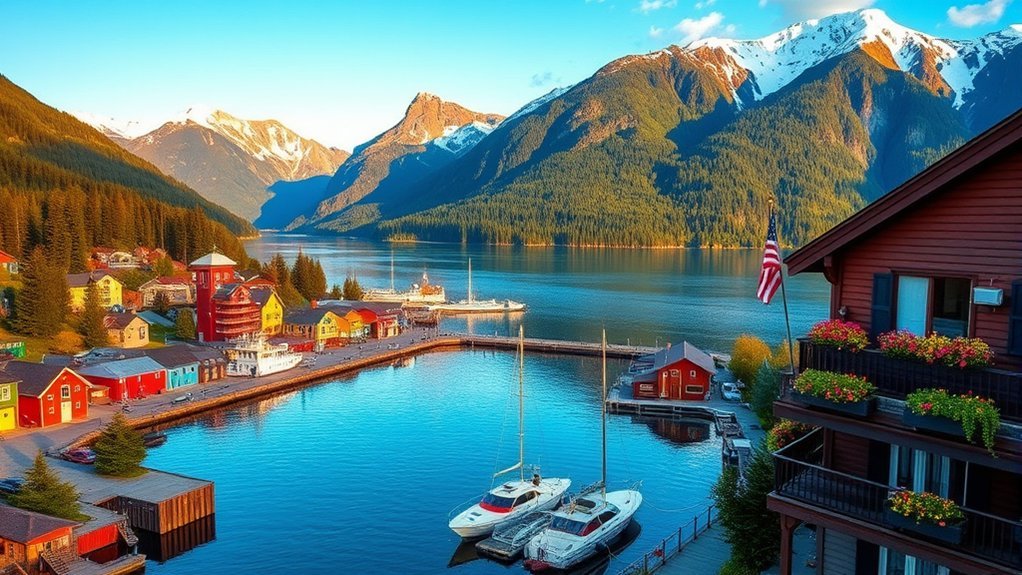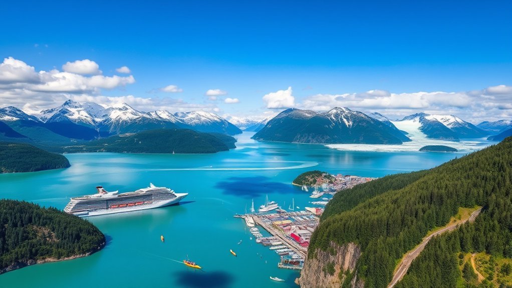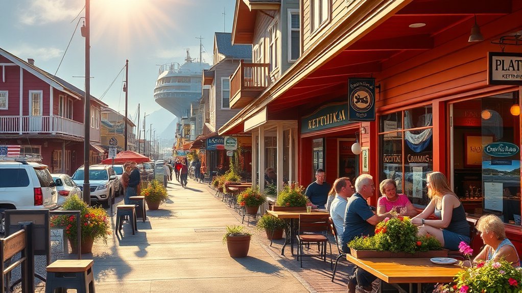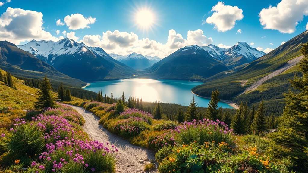
If you want the best hikes near Skagway, Alaska, start by matching the trail to your time, fitness, and transportation. Skagway has easy waterfall walks, steep lake trails, coastal viewpoints, demanding all-day climbs, and historic routes tied to the Klondike Gold Rush. Some hikes begin close to downtown, while others require a shuttle, ferry, train, or a serious backcountry plan.
Quick Answer
The best easy hikes near Skagway are Lower Reid Falls and Yakutania Point. For a moderate half-day hike, choose Lower Dewey Lake or Icy Lake and Upper Reid Falls. For a strenuous adventure, consider Upper Dewey Lake, A.B. Mountain, Laughton Glacier, or the Chilkoot Trail if you have permits and current route information.
Key Takeaways
- For cruise-day hikers, Lower Reid Falls, Yakutania Point, Smuggler’s Cove, and Lower Dewey Lake are the easiest choices from town.
- The Chilkoot Trail is a serious backcountry route, not a casual day hike; check permits, orientation requirements, and border status before planning it.
- Upper Reid Falls, Upper Dewey Lake, Devil’s Punchbowl, A.B. Mountain, and Laughton Glacier are better for prepared hikers with extra time, navigation awareness, and proper gear.
- Battery Point is a Haines side trip, and Mount Roberts is in Juneau, so neither should be treated as an in-town Skagway hike.
Skagway Hikes at a Glance
| Best easy waterfall walk | Gold Rush Cemetery and Lower Reid Falls |
| Best easy coastal walk | Yakutania Point and Smuggler’s Cove |
| Best moderate lake hike | Lower Dewey Lake |
| Best strenuous day hike | Upper Dewey Lake, Devil’s Punchbowl, or A.B. Mountain |
| Best historic backcountry route | Chilkoot Trail, with permits and current route checks |
| Best glacier side trip | Laughton Glacier Trail via White Pass Railroad or a long approach hike |
Warning: Skagway trails can be wet, steep, muddy, and remote. Bring rain gear, warm layers, water, snacks, navigation, a first aid kit, and bear spray where appropriate. Check current alerts and trail conditions before you go.
Chilkoot Trail
The Chilkoot Trail is Skagway’s most famous backcountry route. It follows a historic Tlingit and First Nations trade route and the path used by many Klondike Gold Rush stampeders traveling from the Lynn Canal toward the Yukon River headwaters. The full route is about 33 miles from Dyea to Lake Bennett, but it is a strenuous multi-day trip, not a casual town hike.
Before planning the Chilkoot, check the latest guidance from the National Park Service and Parks Canada. Current official guidance states that backcountry permits are required during the main season, in-person orientation is mandatory, and the international border at Chilkoot Pass is closed to through travel. Out-and-back hiking may still be available on each side, but you should confirm before setting your itinerary.
Expect steep climbs, roots, rocks, wet ground, limited services, and changing mountain weather. The reward is a powerful mix of history and wild scenery: rainforest, rivers, old artifacts, mountain passes, and the feeling of walking through one of Alaska’s defining Gold Rush landscapes.
The Chilkoot is best treated as a permit-based backcountry trip. If you only have a few hours in Skagway, choose Lower Dewey Lake, Lower Reid Falls, or Yakutania Point instead.
Lower Dewey Lake Trail
Lower Dewey Lake Trail is one of the best hikes near downtown Skagway because it gives you a real forest-and-lake experience without needing a car. The trail starts near town, climbs steeply at first, and then reaches a quiet lake tucked above the harbor.
Trail Overview
The first part of the route is the hardest: you gain elevation quickly on switchbacks and forested trail. From there, hikers can choose a shorter out-and-back to the lake or continue around the Lower Dewey Lake loop. Official Skagway trail materials list Lower Dewey Lake as a moderate hike, with about 500 feet of elevation gain.
- Best for: hikers who want a moderate trail close to town
- Time: about 1–2 hours for many hikers, longer if you linger or loop the lake
- Terrain: steep forest climb, roots, rocks, and potentially muddy sections
- Highlights: lake reflections, forest, harbor views, picnic spots, and access to longer trails
Scenic Highlights
Lower Dewey Lake offers a calmer, greener side of Skagway. The trail passes through forest habitat where you may hear birds, spot small mammals, or catch views of the mountains around town. The Alaska Department of Fish and Game notes that the Dewey Lakes Trail System passes through pine forest habitat that is unusual for Southeast Alaska and may offer chances to spot grouse, marmots, mountain goats, pikas, and ptarmigan on longer, quieter routes.
| Feature | What to Expect | Photo Opportunity |
|---|---|---|
| Lake views | Calm water, forested shoreline, and mountain reflections | Shoreline and reflection shots |
| Forest climb | A steep but rewarding approach from town | Moss, roots, stairs, and trail details |
| Wildlife habitat | Birds and small mammals are possible, especially away from busier sections | Use a zoom lens and never approach wildlife |
Tips for Hikers
Wear shoes with good grip, even if the weather looks clear in town. The shaded sections can stay damp, and roots or rocks can be slippery. Carry water and a light layer; the climb can feel warm, but the lake area may be cooler and breezier.
Pro Tip: If you are arriving by cruise ship, start Lower Dewey Lake early. You will get quieter trail conditions and more buffer time before returning to the dock.
Yakutania Point and Smuggler’s Cove Trails
For an easy coastal hike close to town, choose Yakutania Point and Smuggler’s Cove. These trails start from the Skagway River Bridge area and lead through coastal forest to viewpoints over the water. The National Park Service lists the Skagway River Bridge Trailhead as access for Yakutania Point, Smuggler’s Cove, and A.B. Mountain on public lands around Skagway.
This is a better Skagway-area choice than Battery Point if you want a short shoreline walk without leaving town. Expect forest, rocky viewpoints, salt air, and views toward Lynn Canal. It is a good option for families, casual walkers, photographers, and anyone who wants a scenic break from the busy historic district.
- Best for: easy coastal views near town
- Time: roughly 1–2 hours, depending on how far you explore
- Difficulty: easy to moderate, with some uneven ground
- Watch for: slick roots, mud, and changing weather
Battery Point Trail
Battery Point Trail is worth knowing about, but it belongs in a Skagway guide only as a Haines side trip. It is not an in-town Skagway trail. The Haines Borough describes Battery Point as a gentle rainforest hike near Haines that leads to a grassy, rocky beach.
If your itinerary includes Haines, Battery Point can be a relaxed coastal walk with beach views and wildlife potential. The Alaska Department of Fish and Game notes that Battery Point overlooks Chilkoot Inlet and can be a place to look for harbor seals, Steller sea lions, loons, cormorants, and other coastal wildlife.
If you are staying only in Skagway, choose Yakutania Point and Smuggler’s Cove for a similar easy coastal feel without adding ferry logistics.
Lower Reid Falls Trail
Lower Reid Falls is one of the easiest and most rewarding short walks in Skagway. The route is commonly paired with the Gold Rush Cemetery, where well-known figures from Skagway’s gold-rush era are buried. A short forest path beyond the cemetery leads to the waterfall.
This is a good choice if you want history, a waterfall, and a simple outing. It is not a hard mountain hike, but the area can still be wet and uneven. Watch your footing around rocks, roots, and damp trail sections.
- Best for: waterfall lovers, history stops, families, and short port calls
- Difficulty: easy
- Time: about 1 hour for many visitors
- Highlights: Gold Rush Cemetery, forest, Lower Reid Falls, and mountain backdrop
Icy Lake and Upper Reid Falls Trail
The route to Icy Lake and Upper Reid Falls is a more serious hike than Lower Reid Falls. It begins through the Dewey Lake Trail System and continues north from Lower Dewey Lake through forest, footbridges, muddy sections, and quieter terrain.
The National Park Service lists Icy Lake and Upper Reid Falls as a moderate to steep day hike. It is a good option if Lower Dewey Lake feels too short and you want a longer route with waterfalls and a more remote feel.
Warning: Do not try to descend from Upper Reid Falls to Lower Reid Falls. Skagway trail materials warn that there is no safe way down from the Upper Reid Falls area to Lower Reid Falls.
- Best for: prepared hikers who want a longer half-day route
- Difficulty: moderate to steep
- Terrain: forest, footbridges, mud, and waterfall terrain
- Bring: rain gear, water, snacks, navigation, and extra time
Upper Dewey Lake and Devil’s Punchbowl
Upper Dewey Lake is one of the classic strenuous hikes near Skagway. It climbs far above Lower Dewey Lake toward alpine terrain and a high lake basin. The reward is a quieter, wilder experience, but the route demands fitness, time, and respect for changing weather.
Strong hikers can continue toward Devil’s Punchbowl, a rugged alpine tarn above Upper Dewey Lake. This extension is much more demanding than the lower lake loop and should not be treated as a casual cruise-port stroll.
- Best for: fit hikers with a full day or most of a day available
- Difficulty: strenuous
- Highlights: alpine views, high lake scenery, and a true backcountry feel
- Not ideal for: tight port calls, bad weather, or hikers without proper footwear and layers
Note: Snow, fog, rain, and low visibility can change the difficulty quickly on higher Skagway trails. Turn around early if conditions deteriorate.
Mount Roberts Trail
Mount Roberts Trail is a beautiful Southeast Alaska hike, but it is in Juneau, not Skagway. It should only be included in your plans if your Alaska itinerary also stops in Juneau. Alaska’s Department of Natural Resources places the Mount Roberts Trail on Basin Road in the Juneau trail system.
If you are looking for the Skagway version of a steep mountain challenge, consider A.B. Mountain, Upper Dewey Lake, or Devil’s Punchbowl instead. If you are in Juneau, Mount Roberts offers forest, steep climbing, tram-area access, wildflowers, and views over Gastineau Channel.
Porcupine Mountain / Tongass Rainforest Hike
The name Porcupine Trail can be confusing because it is not as clearly documented in official Skagway trail materials as the Dewey Lake system, Chilkoot Trail, or A.B. Mountain. In visitor use, Porcupine Mountain is often associated with guided Tongass rainforest hikes outside town along the White Pass area.
This can be a good option if you want a guided outing with transportation, local interpretation, and viewpoints without having to plan the route yourself. Ask the operator exactly where the hike begins, how long you will be walking, what the elevation gain is, and whether trekking poles, rain gear, or bear spray are provided.
- Best for: visitors who prefer a guided hike
- Difficulty: varies by operator and route
- Before booking: confirm pickup location, trail distance, elevation gain, refund policy, and weather plan
Brackett Glacier Trail? Choose Laughton Glacier Trail Instead
If you are searching for a glacier hike near Skagway, the verified route to know is Laughton Glacier, not “Brackett Glacier Trail.” The U.S. Forest Service describes Laughton Glacier Cabin access as a 14-mile hike or a ride on the White Pass Railroad to the Glacier whistle stop followed by a 1.5-mile hike on a Forest Service trail.
This is a bigger logistical commitment than the downtown hikes. You need to coordinate train transportation, carry proper layers, and plan for remote conditions. The area includes forest, mountain scenery, the Skagway River drainage, and glacier views, making it one of the more memorable adventure options near Skagway for prepared hikers.
- Best for: hikers who want a glacier-focused adventure
- Access: White Pass Railroad plus trail, or a much longer hike
- Difficulty: moderate to strenuous depending on access method and conditions
- Important: confirm train schedules, trail access, and weather before committing
Skagway River Trail
The phrase Skagway River Trail is often used casually for easy riverside walking or biking near town, but it is not as clearly defined in official trail materials as routes like Lower Dewey Lake, Yakutania Point, or the Chilkoot Trail. Treat it as a low-key walk rather than a guaranteed 6.5-mile signed hiking route unless you have a current local map.
For a simple outing, walk or bike the river area for mountain views, fresh air, and a quieter break from the historic district. For a true Skagway River drainage adventure, look at the Laughton Glacier route, which the U.S. Forest Service identifies as following the Skagway River drainage.
- Best for: easy walking, biking, and stretching your legs
- Difficulty: easy if staying near town
- Bring: wind layer, water, and a current map if going beyond town paths
A.B. Mountain Trail
A.B. Mountain is one of the most demanding hikes near Skagway and a better local mountain objective than Mount Roberts if you are staying in Skagway. It is an all-day route with steep terrain, route-finding challenges, and serious exposure to weather above tree line.
The trail is best for experienced, well-prepared hikers. Do not attempt it in poor visibility, heavy rain, or uncertain conditions. Carry navigation, extra food and water, warm layers, rain protection, and a firm turnaround time.
- Best for: experienced hikers seeking a strenuous summit-style route
- Difficulty: difficult / strenuous
- Highlights: Skagway views, alpine terrain, and big mountain scenery
- Avoid when: fog, rain, snow, or low visibility could obscure the route
What to Pack for a Day Hike in Skagway
Even short Skagway hikes deserve real preparation. The weather can change quickly, trail surfaces can be slick, and bear country begins closer to town than many visitors expect.
- Footwear: hiking shoes or boots with traction
- Clothing: moisture-wicking base layer, warm layer, and rain shell
- Water and snacks: more than you think you need, especially on steep routes
- Navigation: downloaded map, paper map, or current trail brochure
- Safety: first aid kit, whistle, headlamp, and bear spray where appropriate
- Comfort: insect repellent, sunglasses, and a small dry bag for electronics
Bear Safety, Weather, and Trail Conditions
Skagway is bear country. The U.S. Fish and Wildlife Service recommends making noise, staying alert, never approaching bears, keeping food and attractants secure, standing your ground during an encounter, grouping up, and not running.
For Chilkoot Trail hikers, the National Park Service notes that brown bears and black bears are frequently seen along the route and that hikers are responsible for storing food properly and knowing how to travel safely in bear country.
Warning: Bear spray belongs within reach, not buried in your backpack. Know how to use it before you start hiking.
Weather is the other major factor. Bring rain gear and warm layers even on short hikes. Higher routes such as Upper Dewey Lake, Devil’s Punchbowl, A.B. Mountain, and Chilkoot Trail can become unsafe in fog, heavy rain, snow, or poor visibility.
Frequently Asked Questions
What is the best time of year to hike in Skagway?
The best hiking season in Skagway is usually late spring through early fall, with the most visitor-friendly window from June through September. Expect rain, mud, and fast weather changes at any time. Higher trails may hold snow or become difficult in poor visibility.
Are permits required for hiking the Chilkoot Trail?
Yes, permits and reservations are required during the main Chilkoot Trail season, and hikers must complete the required orientation. Check both National Park Service and Parks Canada guidance before booking because permit dates, campsite rules, and border status can change.
Can you hike the full Chilkoot Trail from Alaska into Canada?
Do not assume through-travel is open. Current official guidance says the international border at Chilkoot Pass is closed to through travel, though out-and-back hiking may be available on both sides. Always verify the latest NPS and Parks Canada updates before planning.
What is the easiest hike near Skagway?
Lower Reid Falls via Gold Rush Cemetery is one of the easiest scenic walks near Skagway. Yakutania Point is another good easy option if you want coastal views near town.
What should I pack for a day hike in Skagway?
Pack sturdy footwear, water, snacks, rain gear, a warm layer, a map or downloaded navigation, a first aid kit, and bear spray where appropriate. For longer trails, add extra food, a headlamp, emergency layer, and a firm turnaround time.
How do I prepare for bear encounters while hiking?
Make noise, hike in a group when possible, stay alert, keep food secured, never approach wildlife, and carry bear spray within reach. If you see a bear, stay calm, group up, speak calmly, and do not run.
Are there guided hikes available in Skagway?
Yes. Guided options commonly include Chilkoot Trail hike-and-float trips, Tongass rainforest hikes, White Pass area hikes, and glacier-focused excursions. Confirm distance, elevation gain, pickup details, included gear, and cancellation rules before booking.
Is Mount Roberts Trail near Skagway?
No. Mount Roberts Trail is in Juneau. It is a great Southeast Alaska hike if your trip includes Juneau, but Skagway hikers should look at A.B. Mountain, Upper Dewey Lake, or Devil’s Punchbowl for local strenuous options.
Conclusion
Skagway’s best hikes range from easy walks to serious backcountry routes. If you have an hour or two, start with Lower Reid Falls, Yakutania Point, Smuggler’s Cove, or Lower Dewey Lake. If you have more time and experience, consider Icy Lake and Upper Reid Falls, Upper Dewey Lake, Devil’s Punchbowl, A.B. Mountain, Laughton Glacier, or the Chilkoot Trail. Plan realistically, check current conditions, carry proper gear, and let Skagway’s mountains, forests, waterfalls, and Gold Rush history do the rest.
Sources
- National Park Service — Hiking Around Skagway — trailhead overview and Skagway-area hiking context.
- National Park Service — Skagway Shorter Day Hikes — shorter hike planning and public-land context.
- National Park Service — Moderate Day Hikes — Icy Lake, Upper Reid Falls, Sturgill’s Landing, and other longer route details.
- National Park Service — Chilkoot Trail Permits and Parks Canada — Chilkoot Permits and Reservations — permit season, orientation, and border guidance.
- Alaska Department of Fish and Game — Dewey Lakes Trail System — wildlife and habitat notes.
- U.S. Fish and Wildlife Service — Alaska Bear Safety and U.S. Forest Service — Laughton Glacier Cabin — bear safety and Laughton Glacier access.