The Saxer Luecke hike, officially spelled Saxerlücke, is one of the standout mountain hikes in the Alpstein region of eastern Switzerland. The famous gap in the ridge delivers dramatic views, but the difficulty and hiking time depend heavily on your chosen approach. This guide uses the official Hoher Kasten Geological Trail as the main reference route so the distance, elevation and time figures are clear and consistent.
Quick Answer
The standard Hoher Kasten to Saxerlücke and Brülisau route is a moderately demanding mountain hike, not an easy walk. Appenzellerland Tourism lists it at 16.21 km, about 652 m of ascent, 1,521 m of descent and roughly 5.5 hours of walking. Expect steep, narrow and partly exposed red-white-red mountain trails.
Key Takeaways
- The official Geological Trail runs from Hoher Kasten via Staubern and Saxerlücke to Bollenwees, then continues via Sämtisersee and Plattenbödeli to Brülisau.
- Official figures for that route are 16.21 km, 652 m ascent, 1,521 m descent and about 5 hours 30 minutes of walking.
- The ridge uses red-white-red mountain-trail markings and requires sure-footedness, good fitness and comfort with exposed terrain.
- Hoher Kasten lists the normal Geological Hiking Trail season as the end of June through October, subject to current snow, weather and trail conditions.
- Bring supportive hiking shoes, weather layers, enough water and food, sun protection, navigation and a charged phone.
At a Glance
| Reference Route | Hoher Kasten → Staubern → Saxerlücke → Bollenwees → Sämtisersee → Plattenbödeli → Brülisau |
| Time Required | About 5 hours 30 minutes walking time, plus breaks and transport |
| Distance | 16.21 km on the official Geological Trail |
| Elevation | About 652 m ascent and 1,521 m descent |
| Difficulty | Moderate to medium-difficult mountain hiking; red-white-red trail |
| Tools Needed | Trekking shoes, map/GPS, water, food, weather layers, sun protection and charged phone |
| Typical Season | End of June through October, depending on current conditions |
| Cost | Depends on public transport and cableway tickets; check current fares before travelling |
Trail Description and Difficulty Level
The most useful way to judge the Saxer Luecke hike difficulty is to look at a specific route. The official Appenzellerland Geological Trail starts at Hoher Kasten and follows the southern Alpstein chain through Staubern and Saxerlücke before descending toward Bollenwees, Sämtisersee and Brülisau.
This is different from starting in the village of Appenzell itself. For the standard route, hikers first travel to Brülisau and normally use the Hoher Kasten cableway to reach the high starting point.
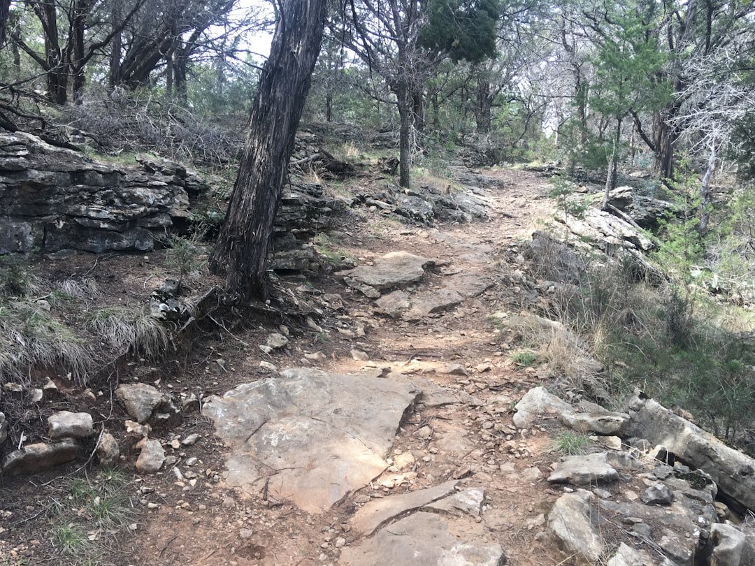
The ridge section is scenic but should not be confused with a simple valley path. Hoher Kasten classifies the Geological Hiking Trail as medium-difficult and marks it red-white-red. According to its official trail guidance, red-white-red mountain paths may be steep, narrow and partly exposed. Hikers should be sure-footed, physically fit, comfortable with heights and familiar with basic mountain hazards.
Rocky stretches, steep descents and changing mountain weather add to the effort. Good signage helps with navigation, but signs do not remove the need for suitable footwear, attention and sound judgment.
Warning: Do not interpret “moderate” as “safe for everyone.” The route includes mountain-trail terrain and partly exposed sections. Turn around if weather deteriorates, the trail is snow-covered beyond your experience, or anyone in your group is uncomfortable with the terrain.
Families with children should judge suitability by mountain-hiking experience rather than age alone. A child who is already confident on steep red-white-red trails may have a very different experience from a first-time mountain hiker. Close supervision is essential around exposed sections.
Route and How to Get There
The official full route follows these main points:
- Hoher Kasten
- Staubern
- Saxerlücke
- Bollenwees and Fälensee
- Sämtisersee
- Plattenbödeli
- Brülisau
Brülisau is the practical transport hub for this itinerary. Hoher Kasten’s official arrival information explains that public-transport users can travel by Appenzell Railways through Appenzell and Weissbad, then continue from Weissbad toward the lower cableway station in Brülisau.
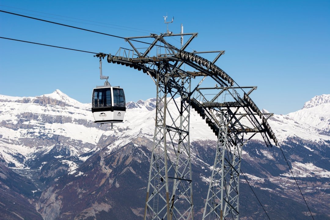
The Hoher Kasten cableway takes hikers to the high starting point. Operating periods and departure times change during the year and can also be affected by conditions such as strong winds, so check the current cableway timetable and fares before planning your day.
Pro Tip: Plan the day around the entire journey, not only the published hiking time. Add time for getting to Brülisau, the cableway, photography, food stops, route checks and slower movement on steep descents.
Estimated Time and Distance
There is no single distance that applies to every Saxer Luecke hike because hikers can reach the viewpoint using different approaches. For consistency, this guide uses the official Hoher Kasten Geological Trail.
Appenzellerland Tourism lists this route at 16.21 kilometers, with approximately 652 meters of ascent and 1,521 meters of descent. The published hiking time is approximately 5 hours 30 minutes.
For the official Hoher Kasten Geological Trail, plan around 16.21 km and 5.5 hours of walking before adding rest, photography and meal stops.
Your actual elapsed time may be longer. Weather, trail conditions, group pace, congestion, photography stops and breaks at the mountain inns can all change the length of the day.
A shorter approach to Saxerlücke can naturally take less time, which explains why other itineraries may quote different figures. Always compare a route’s start point, finish point and elevation profile before relying on a distance or duration found online.
What to Bring on the Hike
| Item | Quantity / Guidance | Importance |
|---|---|---|
| Water | Carry enough for a 5.5+ hour mountain hike; increase your supply in hot weather | High |
| Snacks | Trail mix, energy bars, sandwiches or other easy-to-carry food | Medium |
| Sunscreen | Enough for reapplication during the day | High |
| Hat | 1 | Medium |
| First Aid Kit | 1 compact personal kit | High |
| Map / GPS | Offline map or reliable navigation plus route knowledge | High |
Preparation matters on the Saxerlücke hike because the route combines a long mountain day with uneven and sometimes exposed terrain. Wear sturdy trekking or hiking shoes with good grip and enough support for steep descents. Well-fitted footwear also reduces the chance of blisters and discomfort.
Choose moisture-managing clothing and carry layers that allow you to adapt quickly when wind, temperature or cloud cover changes. A lightweight waterproof outer layer is useful even when the forecast looks favorable.
Hydration is crucial during a long hike, so begin with an adequate water supply. Do not assume that every stream is a safe drinking-water source or that every refreshment point will be open.
Bring enough food for the full outing even if you plan to stop at a mountain inn. The official route passes or approaches places such as the Hoher Kasten restaurant, Staubern, Bollenwees and Plattenbödeli, but opening schedules can change.
A compact first-aid kit, charged mobile phone, offline map or GPS, sunscreen, sunglasses and a hat complete the basic kit. Trekking poles can also help some hikers manage the substantial descent, although they are not a substitute for sure-footedness.
Points of Interest and Scenic Views
The main attraction is the dramatic landscape around Saxerlücke itself. The ridge provides wide views across the Alpstein, Rhine Valley and surrounding mountain landscape, while the steep rock formations around the gap create the striking profile for which the area is known.
The route is also interesting from a geological perspective. The official Geological Trail explains the development of the Alpstein landscape and passes features linked to the Sax-Schwende fault. This gives hikers more context for the folded and fractured rock formations visible along the ridge.
After Saxerlücke, the route descends toward Bollenwees and Fälensee. Fälensee sits between steep mountain walls and is one of the most memorable landscapes on the route. Farther toward Brülisau, the itinerary also passes the Sämtisersee area.
Traditional alpine buildings, grazing areas and mountain inns add a cultural side to the hike. These are working mountain landscapes as well as recreation areas, so hikers should respect livestock, gates and local trail rules.
The combination of alpine pasture, mountain inns, narrow ridges, rock formations and high mountain lakes is what gives the Saxerlücke route its distinctive Alpstein character.
Wildflowers can add color during the snow-free season, but hikers should stay on marked paths and avoid disturbing vegetation or wildlife.
Safety Tips and Precautions
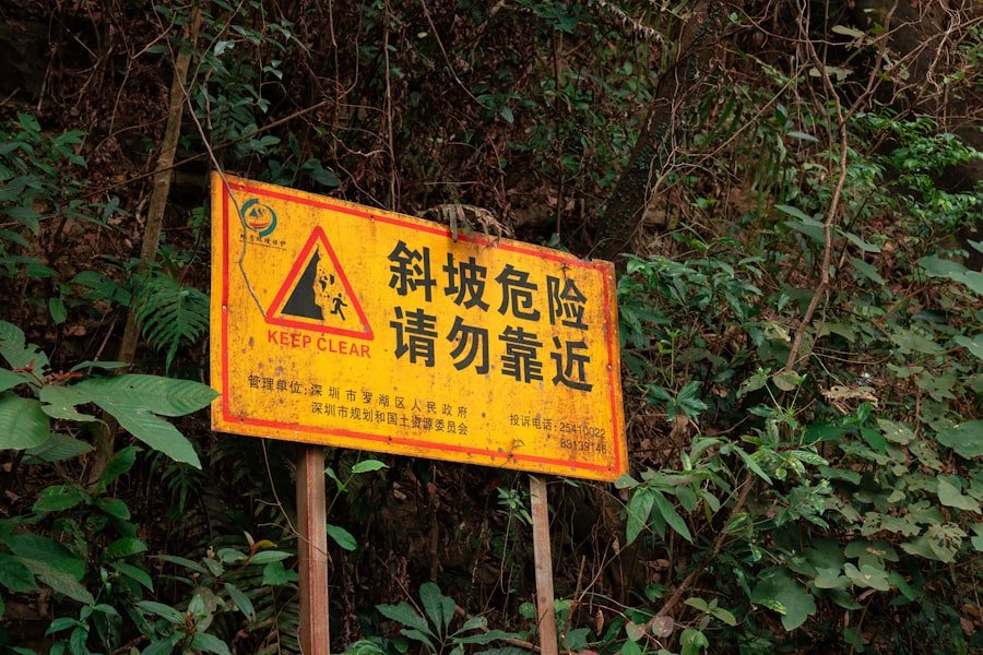
Safety should shape your Saxer Luecke hike plan from the beginning. Check the official Hoher Kasten trail conditions and a reliable mountain-weather forecast shortly before departure. Conditions at higher elevations can be very different from those in the valley.
Start with enough daylight for the full route and your expected stops. Do not rely on your phone flashlight as a plan for finishing a mountain hike after dark.
Know your physical limits. If anyone in the group becomes exhausted, uncomfortable with exposure or uncertain about footing, make a conservative decision rather than pushing forward simply to reach a viewpoint.
Keep a charged phone accessible, but remember that mountain reception can be limited. Offline navigation is valuable when mobile data is unavailable.
For emergencies requiring air rescue in Switzerland, Swiss Air-Rescue Rega can be reached at 1414. Rega also recommends its emergency app as a way to share location information when mobile coverage permits.
Note: If you encounter grazing cattle, remain calm and give the animals space. Hoher Kasten advises keeping dogs on a leash and passing cattle herds at a distance of roughly 20 to 50 meters where possible.
Basic first-aid knowledge can help with minor problems, but serious injuries, getting stranded in dangerous terrain, or becoming unable to continue safely are reasons to seek professional assistance.
Recommended Season for Hiking
Hoher Kasten lists the normal season for the Geological Hiking Trail as the end of June through October. This is a better planning baseline than assuming the route is normally ready from late May.
Early in the season, snowfields can remain at higher elevations. The date alone therefore does not determine whether the route is suitable. Check current trail conditions shortly before your hike.
Summer usually provides the longest daylight and the broadest window for snow-free hiking, while early autumn can bring cooler conditions and changing foliage. In every season, wind, rain, cloud and temperature can change quickly in mountain terrain.
The standard Saxerlücke mountain route should not be treated as an ordinary winter hiking trail. Snow or ice can transform a red-white-red summer path into substantially more difficult terrain. If winter conditions are present, choose an officially designated winter route or proceed only with the experience, equipment and current local information appropriate for snowy alpine terrain.
Current Conditions and Final Route Check
Before leaving for Brülisau, complete a final check of four things:
- Trail status: Look for snow, closures, damaged sections or other warnings on the official trail-conditions page.
- Weather: Check conditions for the mountain elevations, not only the valley.
- Cableway: Confirm the day’s Hoher Kasten operating schedule and any weather-related restrictions.
- Your group: Make sure everyone has suitable footwear, enough food and water, appropriate layers and the fitness for a long red-white-red mountain hike.
This final check is especially important because the same trail can feel straightforward on a dry, clear summer day and much more serious when it is wet, windy, foggy or snow-covered.
Conclusion and Final Thoughts
The Saxer Luecke hike is a rewarding Alpstein mountain experience that combines ridge walking, dramatic rock formations, alpine lakes and long views. Its appeal is easy to understand, but the route deserves more preparation than its popularity on social media may suggest.
The official Hoher Kasten route is best approached as a genuine mountain hike: allow enough time, respect the red-white-red trail requirements and be prepared to change plans when conditions are unfavorable.
If you prepare properly, the combination of Saxerlücke, Fälensee, Sämtisersee and the wider Alpstein landscape can make this a memorable day in the Swiss mountains. The goal is not simply to reach the viewpoint, but to complete the route safely while having enough time to appreciate the scenery.
If you’re planning to tackle the Saxer Luecke hike and want a refreshing snack after the trail, you may also be interested in the site’s separate guide to Asian melons. These fruits can provide a sweet, water-rich snack after outdoor activity. See Exploring the Delightful World of Asian Melon.
Frequently Asked Questions
What is the difficulty level of the Saxer Luecke hike?
The official Hoher Kasten Geological Trail is classified as moderate or medium-difficult and uses red-white-red mountain-trail markings. Hikers should be sure-footed, fit, comfortable with heights and prepared for steep, narrow and partly exposed terrain.
How long does it take to complete the Saxer Luecke hike?
It depends on the route. Appenzellerland Tourism lists the full Hoher Kasten Geological Trail at about 5 hours 30 minutes of walking. Add extra time for the cableway, breaks, meals and photography. Shorter approaches to Saxerlücke have different times.
How long is the official Saxerlücke route from Hoher Kasten?
The official Geological Trail is 16.21 km long, with about 652 m of ascent and 1,521 m of descent between Hoher Kasten and Brülisau.
Where does the Saxer Luecke hike start?
For the official Geological Trail described in this guide, the hike starts at Hoher Kasten and ends in Brülisau. Most hikers reach Hoher Kasten using the cableway from Brülisau.
Is the Saxer Luecke hike suitable for children?
It can be suitable for experienced, sure-footed young mountain hikers under close adult supervision, but it should not be described as a general children’s walk. The official route includes red-white-red mountain terrain and partly exposed sections.
Do I need the Hoher Kasten cableway?
The cableway is normally used to reach Hoher Kasten for the reference route in this guide. Other Saxerlücke approaches exist, but their distance, elevation and hiking time are different. Always check the current cableway timetable before travel.
What is the best season for the Saxerlücke hike?
Hoher Kasten lists the Geological Hiking Trail season as the end of June through October. Actual suitability depends on snow, weather and current trail conditions, so check the official trail report before leaving.
Can you hike Saxerlücke in winter?
Do not assume the normal summer mountain trail remains a standard hiking route once it is covered by snow or ice. Winter conditions can require different route choices, skills and equipment. Use designated winter routes or obtain current local guidance appropriate to snowy alpine conditions.
Sources
- Appenzellerland Tourism – The Geological Trail – official route, distance, ascent, descent, hiking time and waypoints.
- Hoher Kasten – Geological Hiking Trail – season, trail marking, difficulty and route description.
- Hoher Kasten – Trail Conditions – mountain-trail requirements, current-condition guidance and livestock safety.
- Hoher Kasten – Arrival – public transport and Brülisau access information.
- Hoher Kasten Cableway – current operating timetable and fare information.
- Swiss Air-Rescue Rega – Emergency Number 1414 – emergency contact information for Switzerland.